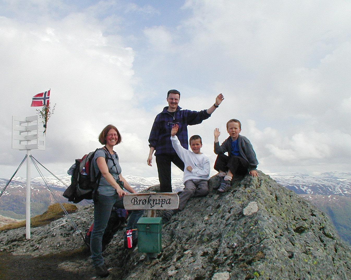
Bruviknipa (21.05.2009)

| Start point | Fv360 (350m) |
|---|---|
| Endpoint | Fv360 (350m) |
| Characteristic | Hillwalk |
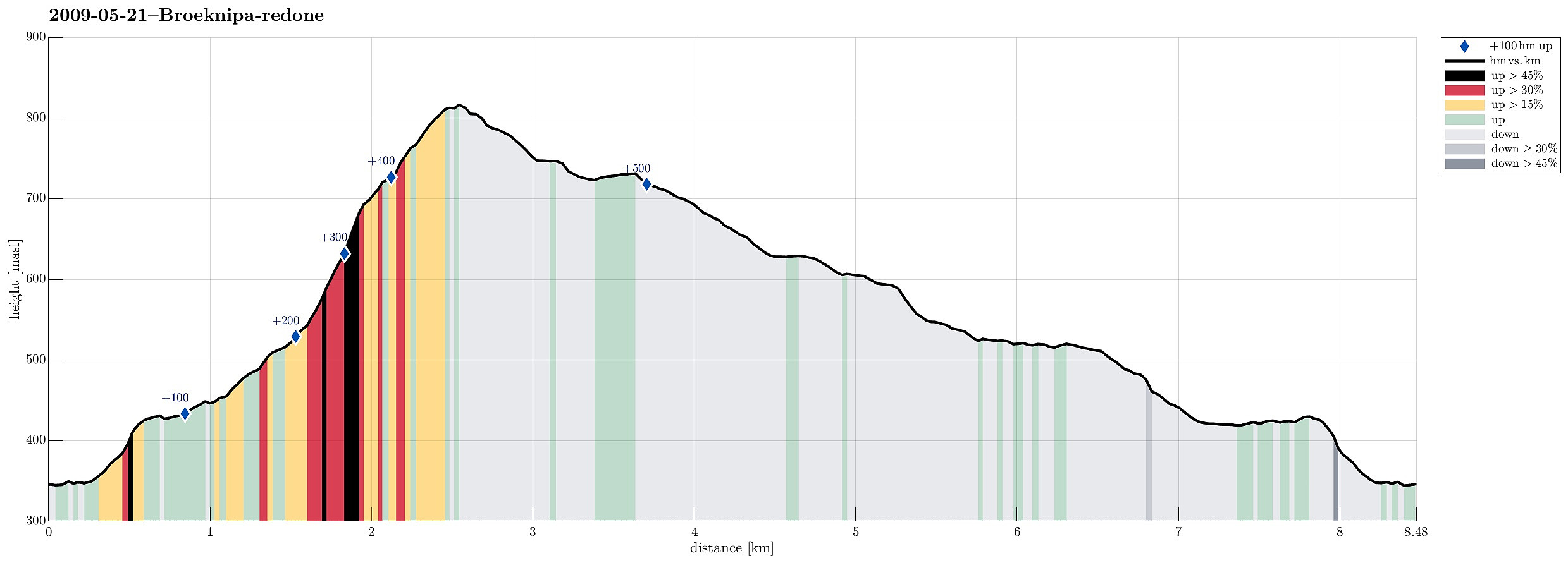
| Duration | 4h 00min |
| Distance | 8.5km |
| Vertical meters | 550m |
| GPS |
|
| Ascents | Bruviknipa (822m) | 21.05.2009 |
|---|---|---|
| Visits of other PBEs | Borgasætra (516m) | 21.05.2009 |
| Båtaleitet p-plass (350m) | 21.05.2009 |
Note that this track has been created a posteriori, i.e., from memory, not automatically recorded.
Trip Summary
Very nice hike up and down Brøknipa.

User comments