Lyderhorn (16.04.2014)

| Start point | Kjøkkelvik school (60m) |
|---|---|
| Endpoint | Kjøkkelvik school (60m) |
| Characteristic | Hillwalk |
| Duration | 3h 00min |
| Distance | 5.2km |
| Vertical meters | 396m |
| GPS |
|
| Ascents | Lyderhorn (396m) | 16.04.2014 |
|---|
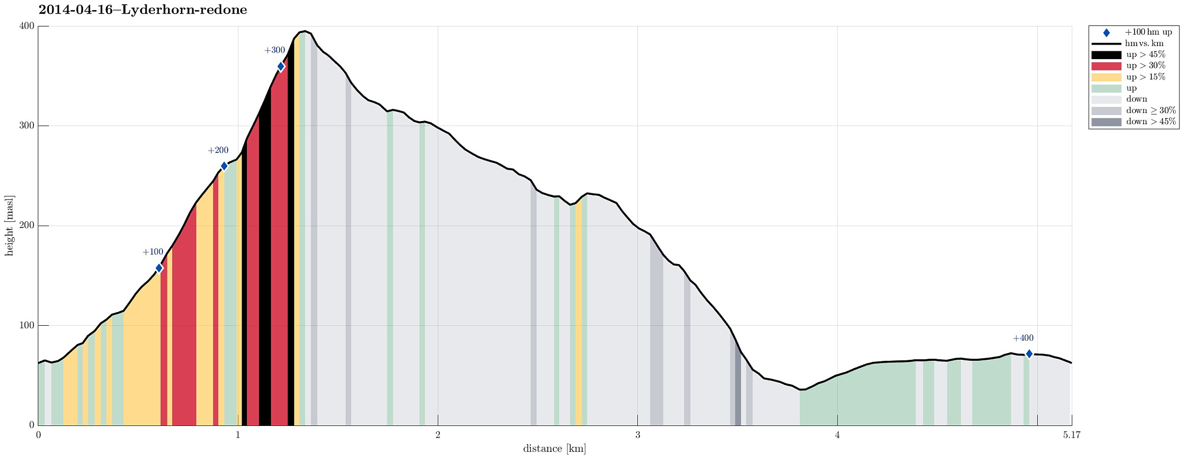
Note that this track has been created a posteriori, i.e., from memory, not automatically recorded.
Trip Summary
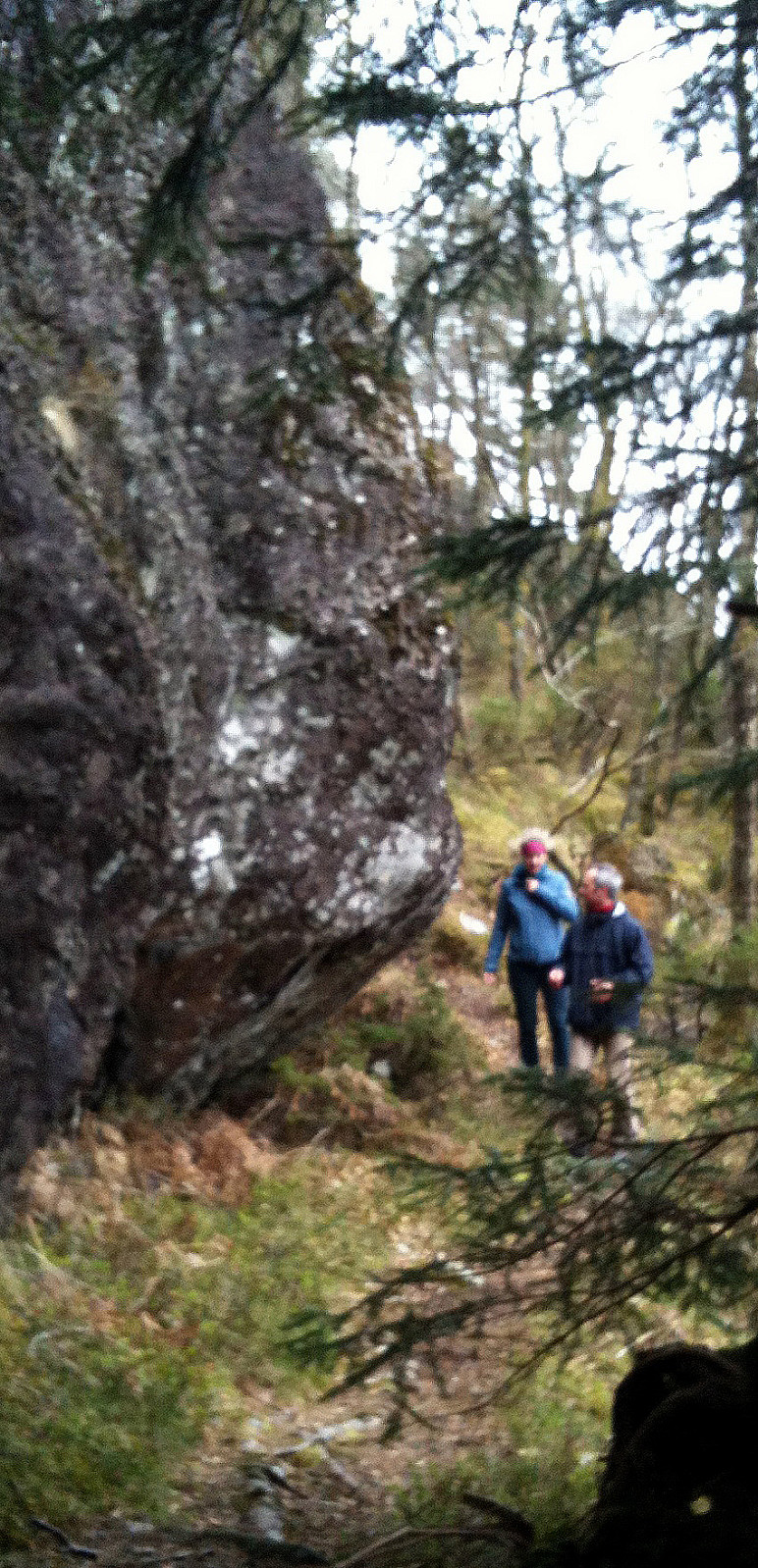
One of the many trip to Lyderhorn -- this time starting from Kjøkkelvik school, up a steep path to Lyderhorn, and then down to Kjøkkelvik -- very nice! :-)
Useful Resources
Web page WestCoastPeaks.com provides useful information about Lyderhorn and Ørnafjellet
and also Petter Bjørstad has a page about Lyderhorn.

User comments