Lykteneset at Flatneset (24.06.2023)

| Start point | Morrvika (5m) |
|---|---|
| Endpoint | Morrvika (5m) |
| Characteristic | Walk |
| Duration | 3h 30min |
| Distance | 10.4km |
| Vertical meters | 222m |
| GPS |
|
| Visits of other PBEs | Lykteneset/Flatneset (10m) | 24.06.2023 |
|---|

Trip Summary
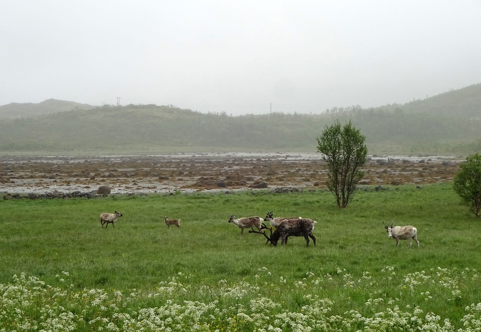
The clouds were hanging low and we decided to make an excursion along the coastline to Flatneset. We left Hamnveien near the bridge over Straumen, heading (for a few meters only) towards Straumsnes. After turning right (into Morrvika), we just continued a few hundred meters further until we parked at a small parking spot near the beach. To get over to Flatneset, we had to first cross over Lavollskjosen. We followed a simple trail over Skjåneshaugen to get to the southwestern side of Kjosen. Then, we walked along it (in southeastern direction) until we found a place, where we thought that crossing over should be possible (and indeed it was). On the other side, we then changed course into northwestern direction, heading towards Lykteneset on the outermost end of Flatneset. At Lavollen, we said "Hello!" to a small herd of reindeer before continuing further outwards. Following a marked trail while stepping constantly in high and very wet grass we passed by Smedvika and Torvikholmen. From Torvikholmen, we then continued along what looked like the remainders of a military road from WWII. Indeed, we also got to see a couple of bunkers and other remains of military installation while approaching Lykteneset. At Lykteneset we enjoyed the views (between the clouds above and the sea below), before returning back (basically along the same trail).
Photos
Selected photos are available as Google photo album.
Useful Resources
See also the related FB-page Hiking around Bergen, Norway.

User comments