Up Lyderhorn and further to Fyllingsdalen (24.04.2022)

| Start point | Olsvikskjenet (80m) |
|---|---|
| Endpoint | Varden (45m) |
| Characteristic | Hike |
| Duration | 2h 30min |
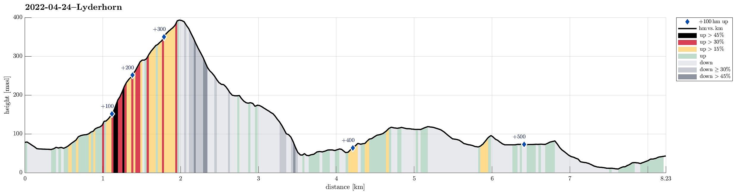
| Distance | 8.2km |
| Vertical meters | 552m |
| GPS |
|
| Ascents | Lyderhorn (396m) | 24.04.2022 |
|---|---|---|
| Visits of other PBEs | Gamle Tennebekkveien p-plass (60m) | 24.04.2022 |
| Lappeleiren (62m) | 24.04.2022 | |
| Lyderhornhytten (lokalitet) (396m) | 24.04.2022 | |
| Spelhaugen p-plass (60m) | 24.04.2022 |
![Lyderhorn (and Ørnafjellet [mid-right]) from the southeast (south of Liavatnet)](https://images2.peakbook.org/images/3514/HHauser_20220724_62dd592a38b7f.jpg?p=xtralarge)
Trip Summary
Hiking Lyderhorn and walking back to Fyllingsdalen from there. We took a bus via Loddefjord that was heading towards Olsvik, getting off where Olsvikskjenet is connected to Gamle Kjøkkelvikveien. Walking down there, we could easily connect to Lyderhornslien on the other, eastern side. From there, we then ascended to Lyderhorn following a minor trail that leads up a little further north than the main trail from Kjøkkelvik. Once on Lyderhorn, we continued in southern direction down again (into the direction of Skarpafjellet). When reaching the saddle right north of Skarpafjellet, we turned left and descended to the main highway-cross in the southeast of Lyderhorn. On the other side, we then walked up to Tennebekktjørna and further over to Spelhaugen. All in all, a nice hike connecting Lyderhorn and Fyllingsdalen.
Photos
Selected photos are available as Google photo album.
Useful Resources
See also the related FB-page Hiking around Bergen, Norway.
Petter Bjørstad has a useful page about Lyderhorn and also web page WestCoastPeaks.com provides useful information about Lyderhorn and Ørnafjellet.
Web page UT.no from the Norwegian Trekking Association recommends a similar hike up to Lyderhorn.

User comments