Fanafjellet from Rød (07.09.2019)

| Start point | Rød (45m) |
|---|---|
| Endpoint | Rød (45m) |
| Characteristic | Hillwalk |
| Duration | 3h 00min |
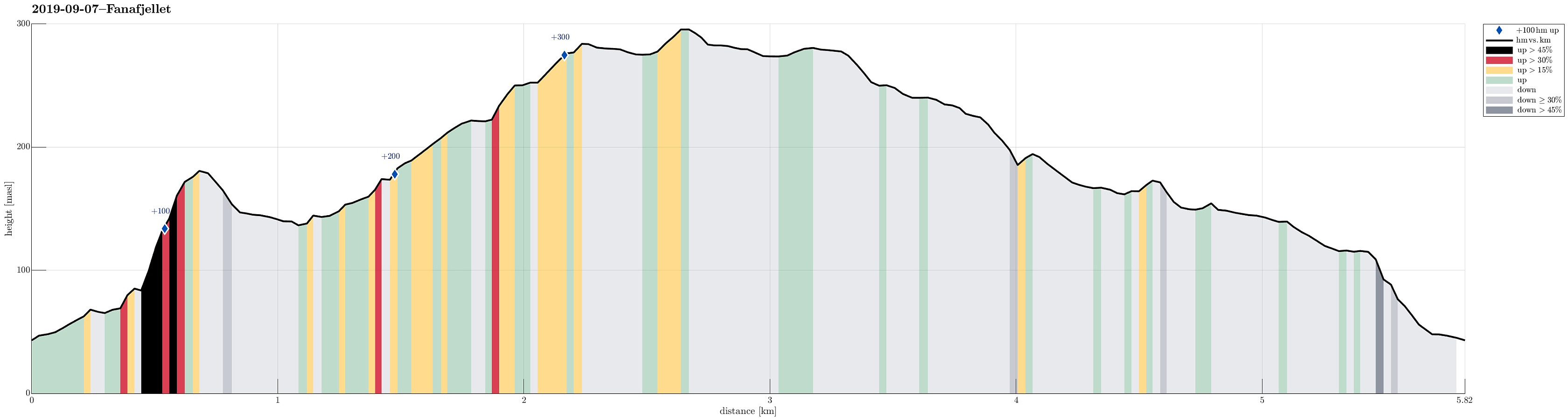
| Distance | 5.8km |
| Vertical meters | 372m |
| GPS |
|
| Ascents | Folldalshaugane (300m) | 07.09.2019 |
|---|---|---|
| Rødsaksla (184m) | 07.09.2019 |
Trip Summary
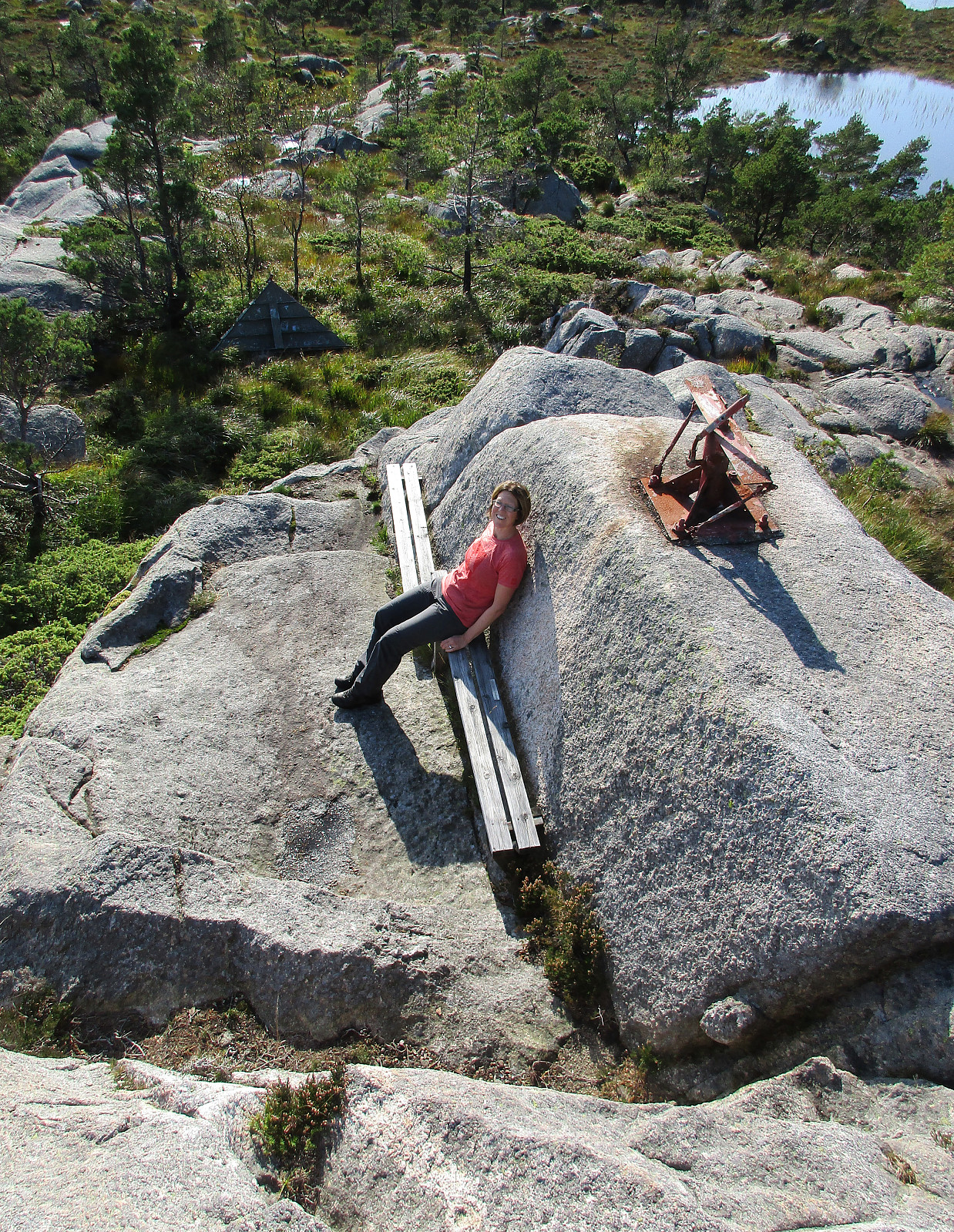
We had a bit of time and thinking, that even a small hike nearby could be nice, we headed for Fana and Fanafjellet (south of Bergen). At Fana, we then turned right and followed road #546 (in the direction to Krokeide, where the ferry to Austevoll leaves). The plan was to start from Rød and to find a trail up to Fanafjellet that four years earlier was the end of another hike near Krokeide. We thus parked near Rødshella and walked towards the place, where we assumed that the trail would come down. Passing by house #424 instead of house #422, we missed this trail-head by a few meters. Following some minor path through the forest, then, and following the rather step mountain-side there in southern direction, we ended up in the west of Rødsaksla instead. At about 80mosl, we first enjoyed a nice view over Fanafjorden, before we then ascended (without any path and still quite steeply upwards) to Rødsaksla. On the other side of this hill, we then descended through a lot of green, before we connected to the trail that we originally had planned to find. We then followed this trail northwards until it started to lead downwards (towards Naustvika). There we quickly found the place, where a trail leaves in eastern direction (and upwards into the direction of Folldalshaugane). Following this trail, we first got close Grønafjellet (from the west), before we then rounded this hill on its southern side, continuing further into the direction of Folldalshaugane. Not long later, we arrived at the cairn at Folldalshaugane. In order to complete this hike as a (somewhat oddly shaped) round, we decided to try finding another trail down from Folldalshaugane (the assumption was that we would find the trail that leads up to Folldalshaugane from Hisdalsvatnet). After a little (and unintended) detour, we finally found that trail, leading across Skarafjellet and its southwestern ridge down towards Hisdalsvatnet. Not far from Stora Munketjørna, we then aimed at connecting back to the trail which crosses over (in northern direction from there) and back to where we had ended up after coming down from Rødsaksla earlier. Soon we had found this trail and following it northwards was straight-forward, at least in the beginning (in the west of Stora Munketjørna). Right after stepping over the little stream that leaves Stora Munketjørna towards the west, however, we lost he trail and reconnected with it only after having stepped over Litlemunken without a trail (no problem). Once back on the trail, we continued, passing by Litla Munketjørna (also on its western side), and got back to the same part of the trail that we had used earlier already. Instead of turning right as in the beginning, of course, we followed the trail then downwards (through Krokakvilet). At Brattstølen, the trail leaves the small valley and leads downwards into the direction of Rød (in western direction then). After all, we came back to the car along the trail, which we first wanted to go up, also. While clearly this was very wet hike, we still enjoyed it very much. Also hiking through the Hisdalen nature reserve (down from Follsdalshaugane) was very nice! :-)
Photos
Selected photos are available as Google photo album.
Useful Resources
See also the related FB-page Hiking around Bergen, Norway.
Web page WestCoastPeaks.com provides useful information about Fanafjellet.

User comments