Knappen (24.11.2018)

| Start point | Varden (40m) |
|---|---|
| Endpoint | Varden (40m) |
| Characteristic | Hillwalk |
| Duration | 1h 00min |
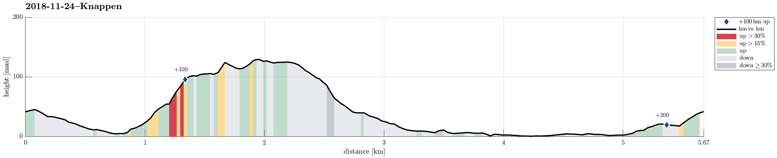
| Distance | 5.7km |
| Vertical meters | 222m |
| GPS |
|
| Ascents | Eldtona (128m) | 24.11.2018 |
|---|---|---|
| Knappen (135m) | 24.11.2018 | |
| Visits of other PBEs | Knappen søyle (128m) | 24.11.2018 |
Note that this track has been created from memory, i.e., it was not recorded automatically.
Trip Summary
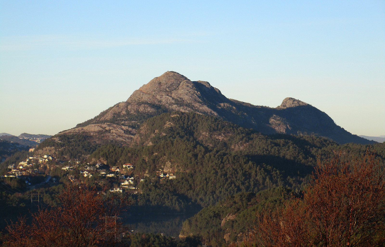
To get a little bit of fresh air, we made a quick hike over Knappen. Instead of returning via Knappetjørna and Vassteigen, we descended via Hesthaugen and returned along Sælenvatnet back to Varden.
Useful Resources
See also the related FB-page Hiking around Bergen, Norway.
Petter Bjørstad has a useful page about Knappen.

User comments