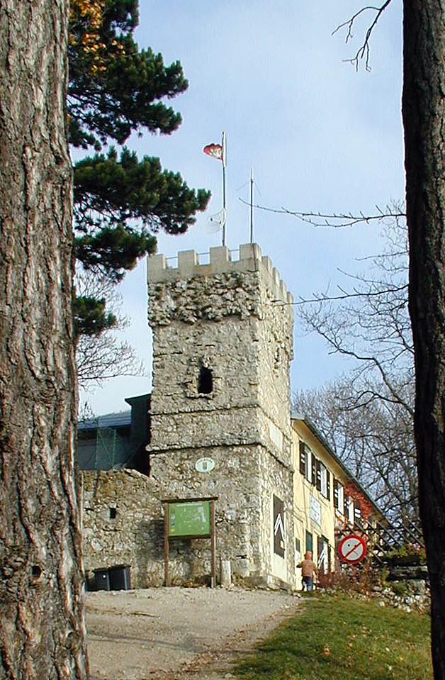
Höllenstein (29.10.2005)

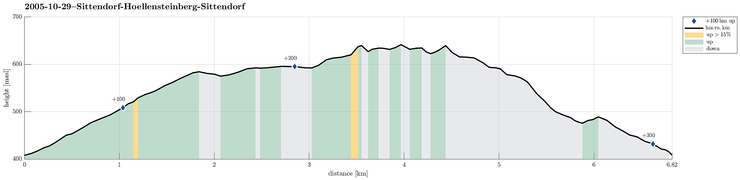
| Start point | Sittendorf (435m) |
|---|---|
| Endpoint | Sittendorf (435m) |
| Characteristic | Hillwalk |
| Duration | 4h 00min |
| Distance | 6.8km |
| Vertical meters | 295m |
| GPS |
|
| Ascents | Höllenstein (645m) | 29.10.2005 |
|---|
Note that this track has been created from memory, i.e., it was not recorded automatically.
Trip Summary
We started near Sittendorf (on Wildeggerstrasse) and started with an ascent into northwestern direction, passing by Alleeberg in the beginning. We then connected to the Mödlinger Rundwanderweg (via some nice heights), before we ascended to the Höllenstein as the top-goal of this day. From there, we first followed the path back which we had taken there, until we met the Nordalpenweg, which we then took down to get back to where we had started.
Useful Resources
See also the related FB-page Hiking around Bergen, Norway.

User comments