Algrøyna, Smalaneset (03.09.2016)

| Start point | Algrøyna (15m) |
|---|---|
| Endpoint | Algrøyna (15m) |
| Characteristic | Hillwalk |
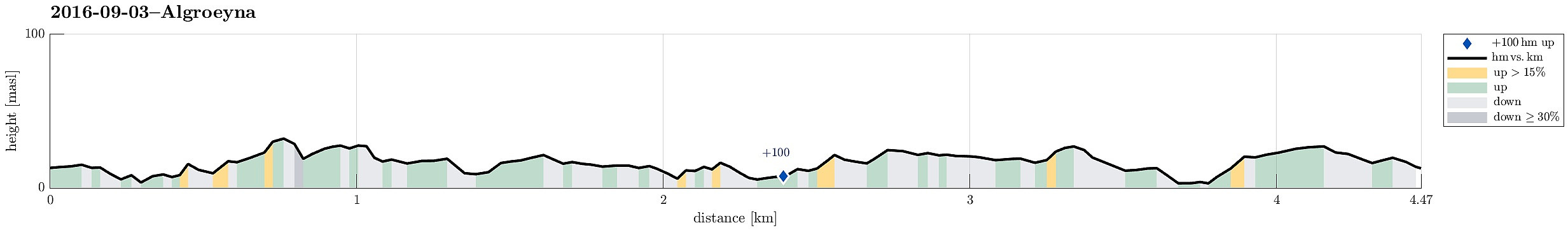
| Duration | 2h 30min |
| Distance | 4.5km |
| Vertical meters | 174m |
| GPS |
|
| Visits of other PBEs | Smalaneset (21m) | 03.09.2016 |
|---|
Trip Summary
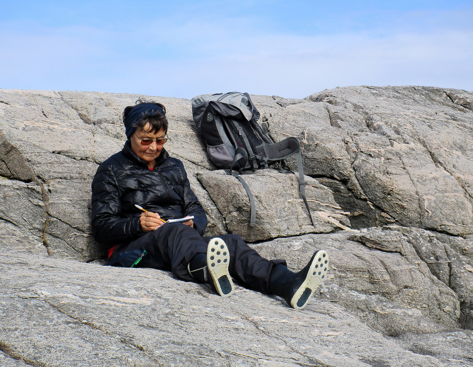
We drove westwards from Bergen towards the outer islands and stopped at Algrøyna (basically at the very last bus stop, there). From there, we continued into western direction, looking into Nøtevika, first. We then crossed over to the relatively large peninsula of Algrøyna, which lies between Breivika in the north and Kungvika in the south. We followed a well-marked path westwards as soon as we had reached this peninsula, following the northern coastline. Relatively quickly, we proceeded towards the outermost tip of this peninsula, Smalaneset, enjoying many great views already on the way out there. After a short rest, we returned---this time following the southern shore, along Kungvika. Back to the street (Kungvikvegen), we did not have long to go, before we were back to the car. It's really very nice, how many opportunities for great and impressive hikes there are on Algrøyna---and many of them well-marked! :-)
Photos
Selected photos are available as Google photo album.
Useful Resources
See also the related FB-page Hiking around Bergen, Norway.

User comments