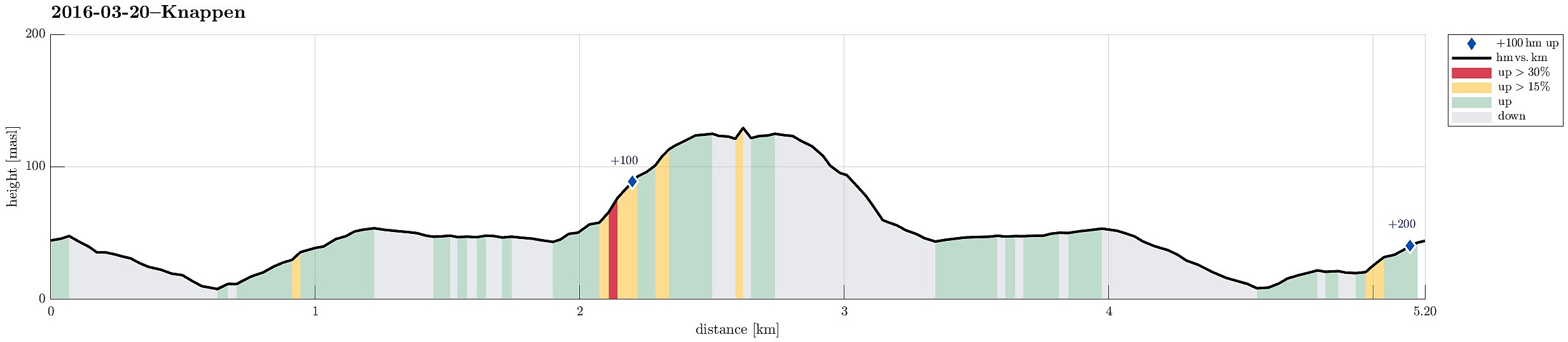
Knappen (20.03.2016)

| Start point | Varden (45m) |
|---|---|
| Endpoint | Varden (45m) |
| Characteristic | Hillwalk |
| Duration | 1h 30min |
| Distance | 5.2km |
| Vertical meters | 205m |
| GPS |
|
| Ascents | Knappen (135m) | 20.03.2016 |
|---|
Note that this track has been created from memory, i.e., it was not recorded automatically.
Trip Summary
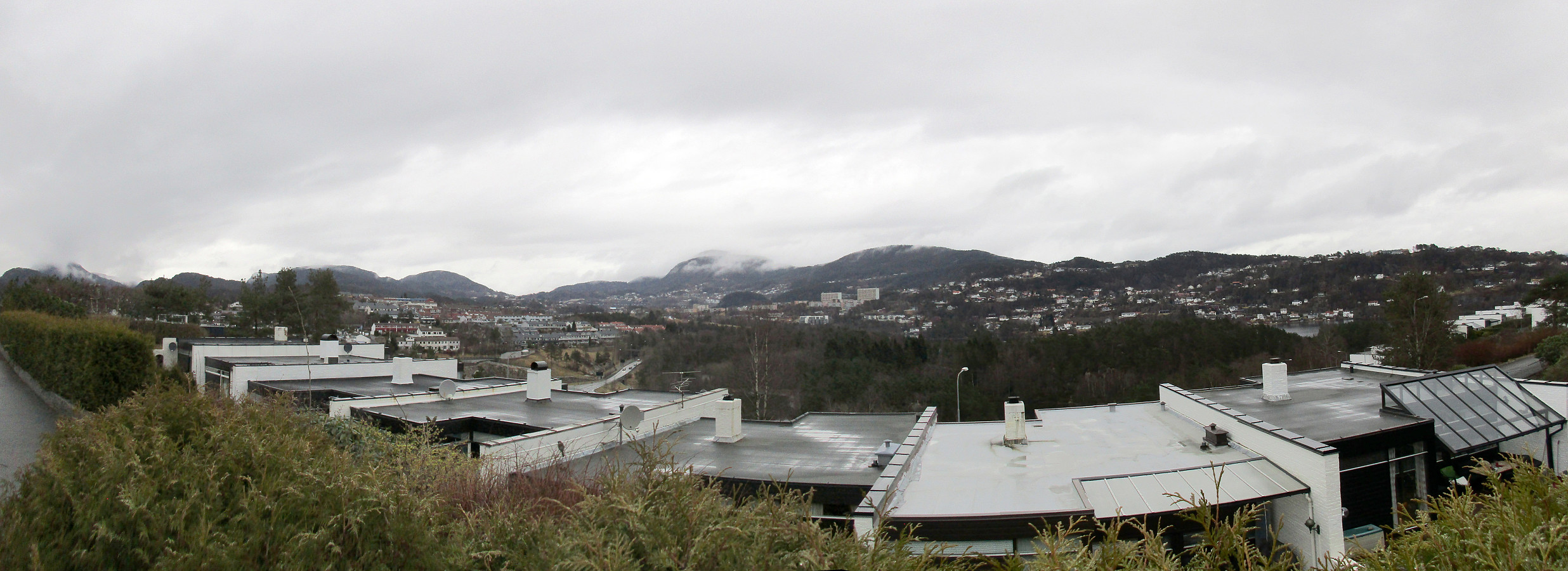
We started from Varden, Einerhaugen, crossed Bjørgeveien and ascended along Vassteigen towards Knappen. This time, however, we walked around Knappetjørna, first, before ascending to the "top" of Knappen. Afterwards, we basically took the same path back.
Useful Resources
See also the related FB-page Hiking around Bergen, Norway.
Petter Bjørstad has a useful page about Knappen.

User comments