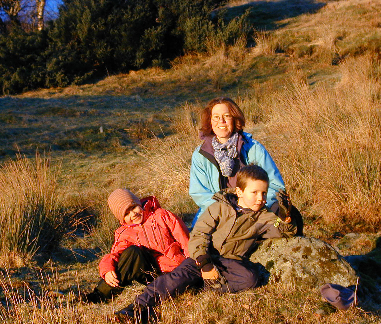
Livarden (10.01.2009)

| Start point | Totland (250m) |
|---|---|
| Endpoint | Totland (250m) |
| Characteristic | Hillwalk |
| Duration | 4h 00min |
| Distance | 9.4km |
| Vertical meters | 486m |
| GPS |
|
| Ascents | Livarden (683m) | 10.01.2009 |
|---|---|---|
| Visits of other PBEs | Birkehaug (privat) (281m) | 10.01.2009 |
| Laksevåg Røde Kors Hjelpekorps' hytte (556m) | 10.01.2009 | |
| Maihaugen (ruin) (283m) | 10.01.2009 | |
| Totland p-plass (287m) | 10.01.2009 | |
| Ulvursfjellet (606m) | 10.01.2009 | |
| Ulvursvarden (677m) | 10.01.2009 |
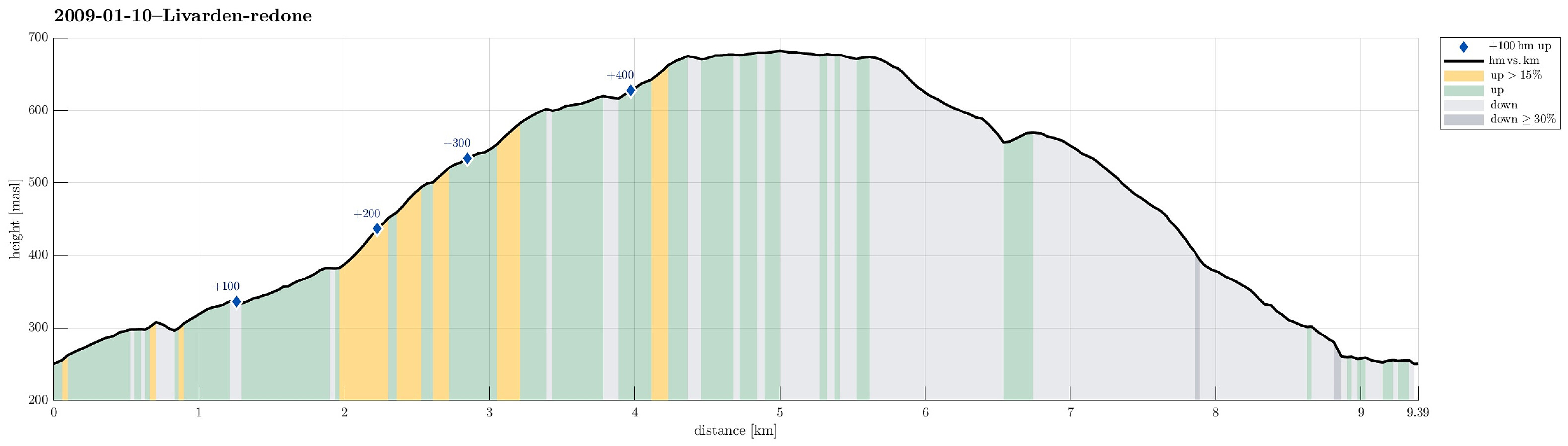
Note that this track has been created a posteriori, i.e., from memory, not automatically recorded.
Trip Summary
Very nice winter hike up and down Livarden.

User comments