Sendedalen (Vikafjellet) (03.04.2015)

| Start point | Road 13 over Vikafjellet (915m) |
|---|---|
| Endpoint | Road 13 over Vikafjellet (915m) |
| Characteristic | Backcountry skiing |
| Duration | 5h 00min |
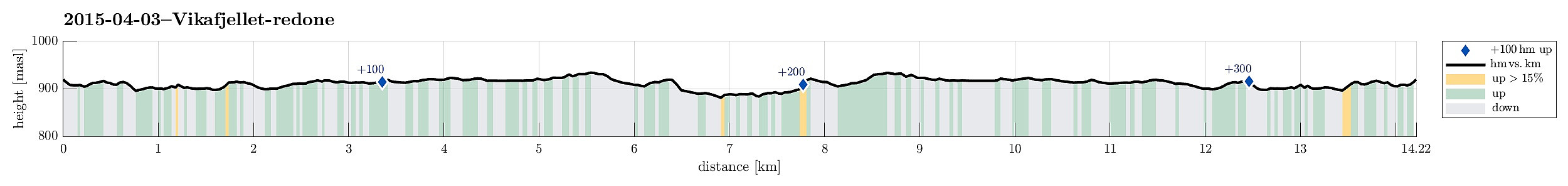
| Distance | 14.2km |
| Vertical meters | 371m |
| GPS |
|
| Visits of other PBEs | Holmavatnet (917m) | 03.04.2015 |
|---|---|---|
| Sendedalen parkering (921m) | 03.04.2015 |
Note that this track has been created a posteriori, i.e., from memory, not automatically recorded.
Trip Summary
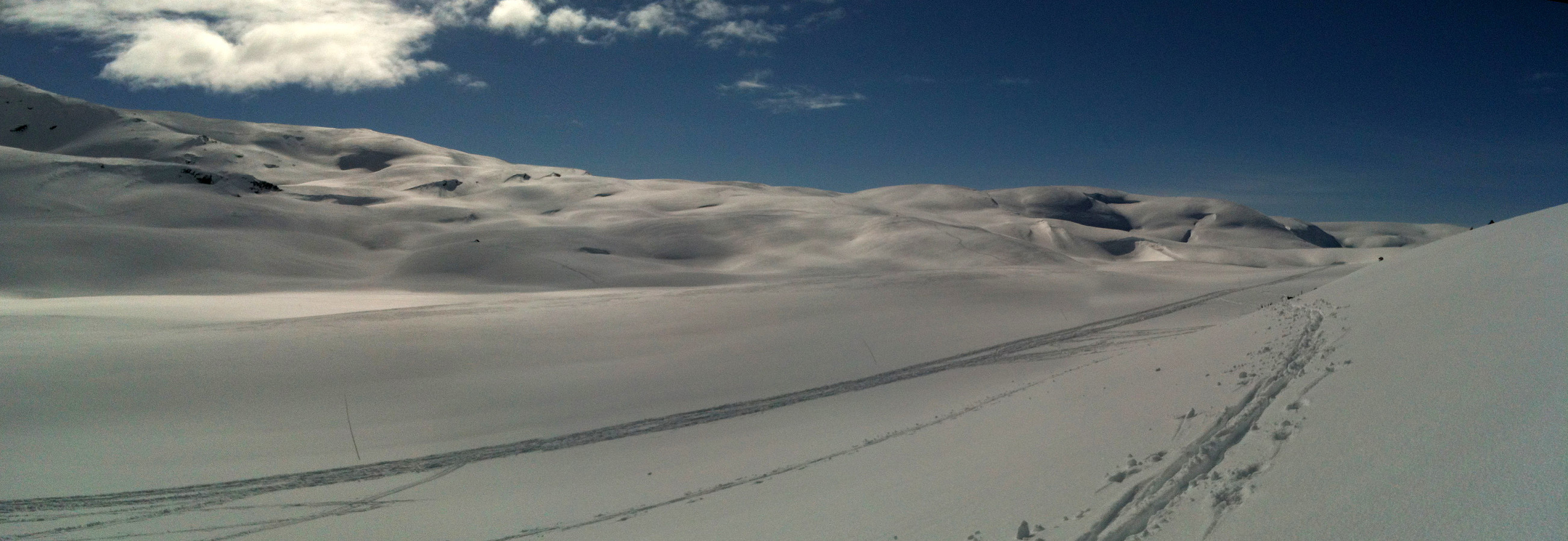
Starting from the road over Vikafjellet (#13), we skied into Sendedalen (and over to Grøndalen) and then back again. What a fantastic winter day?!!! A really great Easter skiing tour! :-)
Photos
Selected photos are available as Google photo album.

User comments