Løvstakken (29.11.2014)

| Start point | Krohnegården (140m) |
|---|---|
| Endpoint | Krohnegården (140m) |
| Characteristic | Hillwalk |
| Duration | 1h 15min |
| Distance | 4.5km |
| Vertical meters | 370m |
| GPS |
|
| Ascents | Løvstakken (478m) | 29.11.2014 |
|---|---|---|
| Visits of other PBEs | Fjellheim (tuft), Løvstakken (286m) | 29.11.2014 |
| Minnesmerke bomberaid 1945 (180m) | 29.11.2014 |
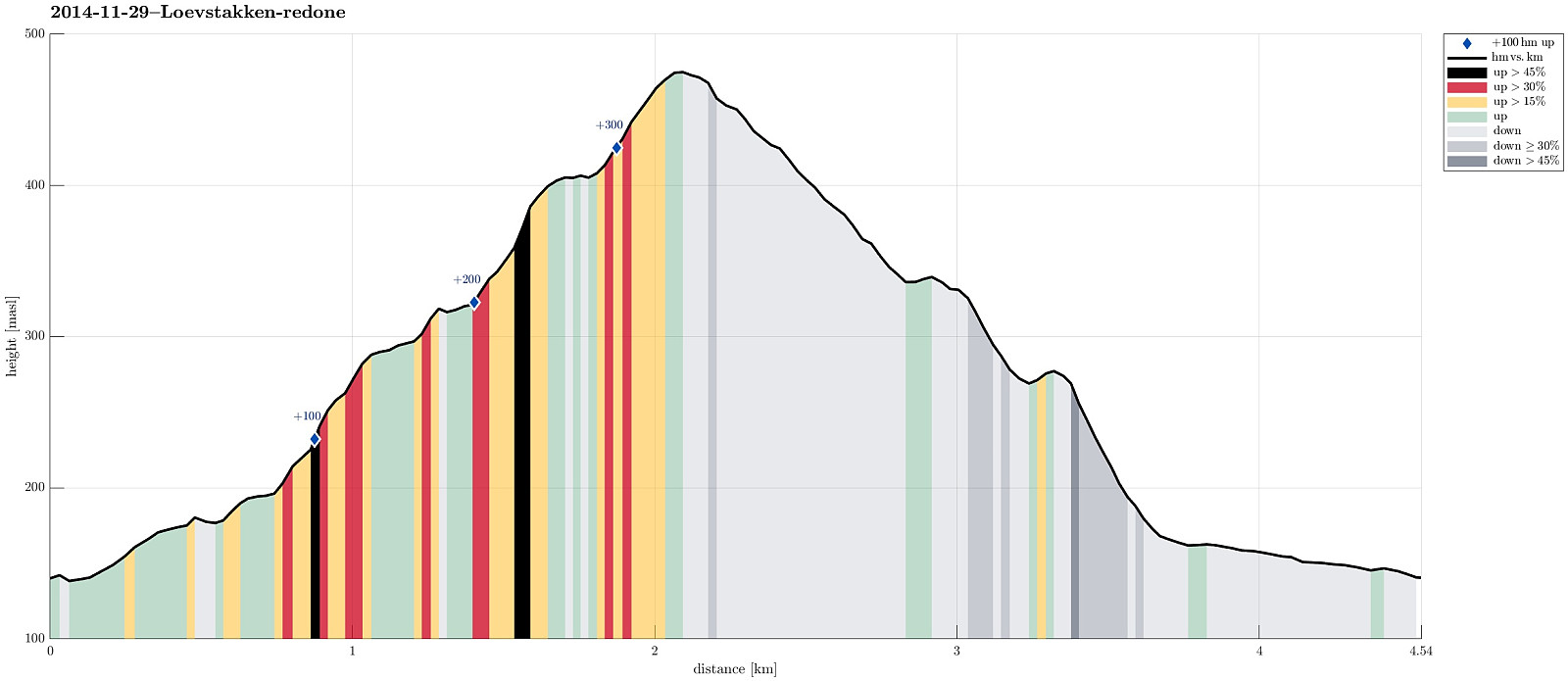
Note that this track has been created a posteriori, i.e., from memory, not automatically recorded.
Trip Summary
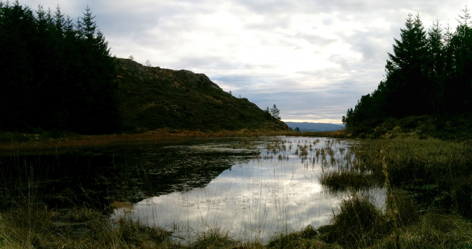
Quick tour up and down Løvstakken (from Fyllingsdalen)
Useful Resources
Web page WestCoastPeaks.com provides useful information about Løvstakken.

User comments