Archive - Date
Last trips
2025
(10)
February
(2)
August
(7)
November
(1)
2024
(9)
April
(1)
May
(2)
July
(2)
August
(3)
September
(1)
2023
(16)
April
(1)
June
(1)
July
(4)
August
(4)
September
(3)
October
(3)
2022
(21)
March
(2)
April
(1)
May
(3)
June
(1)
July
(1)
August
(1)
September
(4)
October
(5)
November
(3)
2021
(33)
March
(3)
May
(4)
June
(2)
July
(8)
August
(10)
September
(4)
October
(1)
November
(1)
2020
(26)
April
(3)
May
(1)
June
(6)
July
(5)
August
(6)
September
(1)
October
(2)
November
(1)
December
(1)
2019
(51)
March
(2)
April
(7)
May
(7)
June
(7)
July
(10)
August
(3)
September
(6)
October
(9)
2018
(63)
February
(1)
March
(2)
April
(4)
May
(11)
June
(12)
July
(10)
August
(11)
September
(5)
October
(6)
November
(1)
2017
(63)
January
(3)
February
(1)
March
(1)
April
(3)
May
(8)
June
(10)
July
(15)
August
(8)
September
(8)
October
(3)
November
(3)
2016
(56)
January
(1)
April
(1)
May
(7)
June
(3)
July
(9)
August
(9)
September
(12)
October
(12)
December
(2)
2015
(76)
February
(1)
April
(5)
May
(18)
June
(12)
July
(9)
August
(16)
September
(4)
October
(2)
November
(9)
2014
(35)
April
(2)
May
(9)
June
(8)
July
(6)
August
(3)
September
(4)
October
(3)
2013
(15)
February
(1)
March
(3)
May
(5)
June
(4)
July
(1)
October
(1)
2012
(3)
February
(1)
March
(1)
May
(1)
2011
(1)
June
(1)
2000
(1)
February
(1)
1991
(1)
February
(1)
1990
(1)
January
(1)
1989
(1)
February
(1)
1988
(3)
April
(3)
1987
(1)
August
(1)
1985
(6)
January
(1)
April
(3)
May
(1)
June
(1)
1982
(3)
February
(1)
March
(1)
July
(1)
1980
(1)
June
(1)
1975
(3)
April
(1)
June
(2)
1961
(1)
February
(1)
Archive - Activity
Other trip
(2)
Expedition
(2)
Other winter trip
(4)
Snowshoe trip
(4)
Ski trip
(2)
Cross-country skiing
(2)
Trip by foot
(220)
Hike
(44)
Hillwalk
(161)
Jogging
(1)
Walk
(1)
Peakbook-Friends
MonaS
BjørnF
Kjellbjdahl
Birgit
JoSo
opps
otto
raymond_grimstad
Collected lists
Averøy ≥ 100m pf.
100%
(11/11)
Show all collected lists
Favourite trips
Kaldfonna
Trollhøtta NV
The Cobbler
Jørenvågsalen med flere
Gjevilvasskamman
«
1
2
3
4
5
6
7
8
9
10
>
»
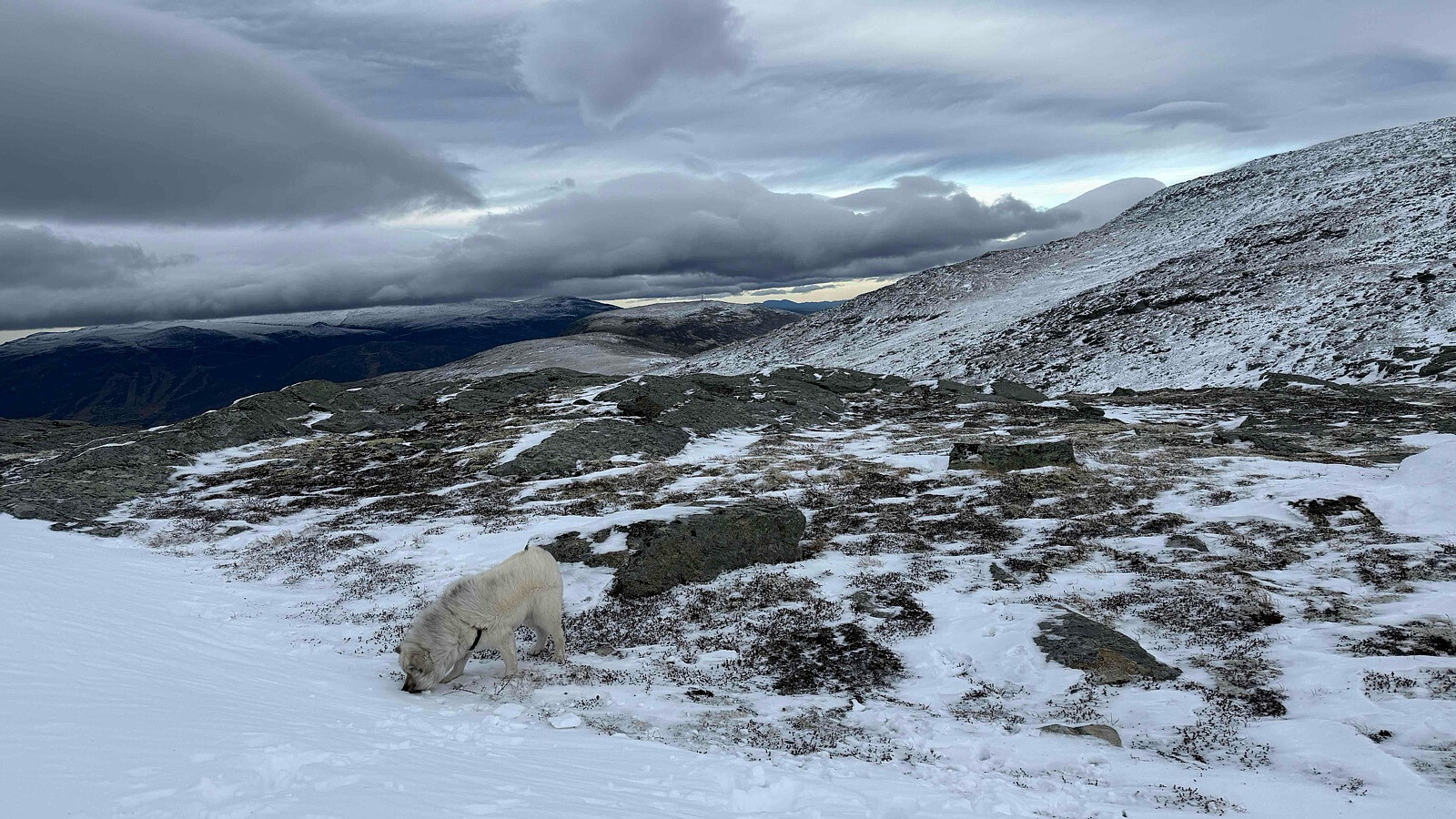
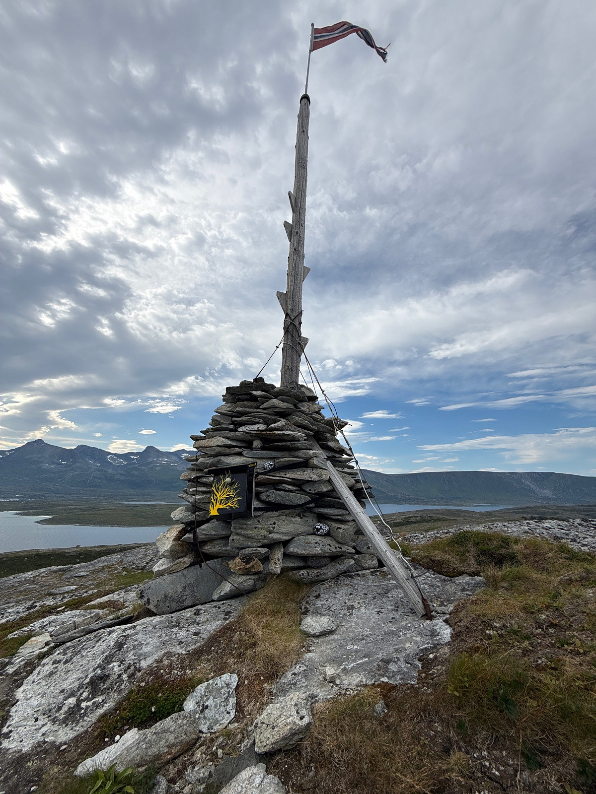
Bekkfonnhøa
Date:
01.11.2025
Distance:
5.6
km
© Erling T Dahl
For mye vind for Sissihøa
Map
Reinstinden
Date:
30.08.2025
Characteristic:
Hillwalk
Distance:
9.0
km
© Erling T Dahl
Map
Fisketjernnuten
Date:
17.08.2025
Characteristic:
Hillwalk
Distance:
2.9
km
© Erling T Dahl
Map
Makalausfjellet
Date:
15.08.2025
Distance:
5.2
km
© Erling T Dahl
Map
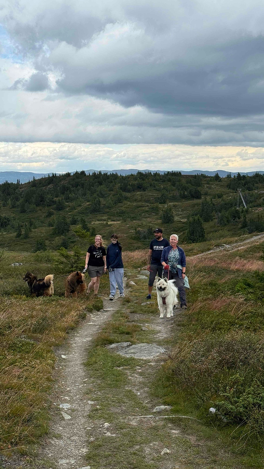
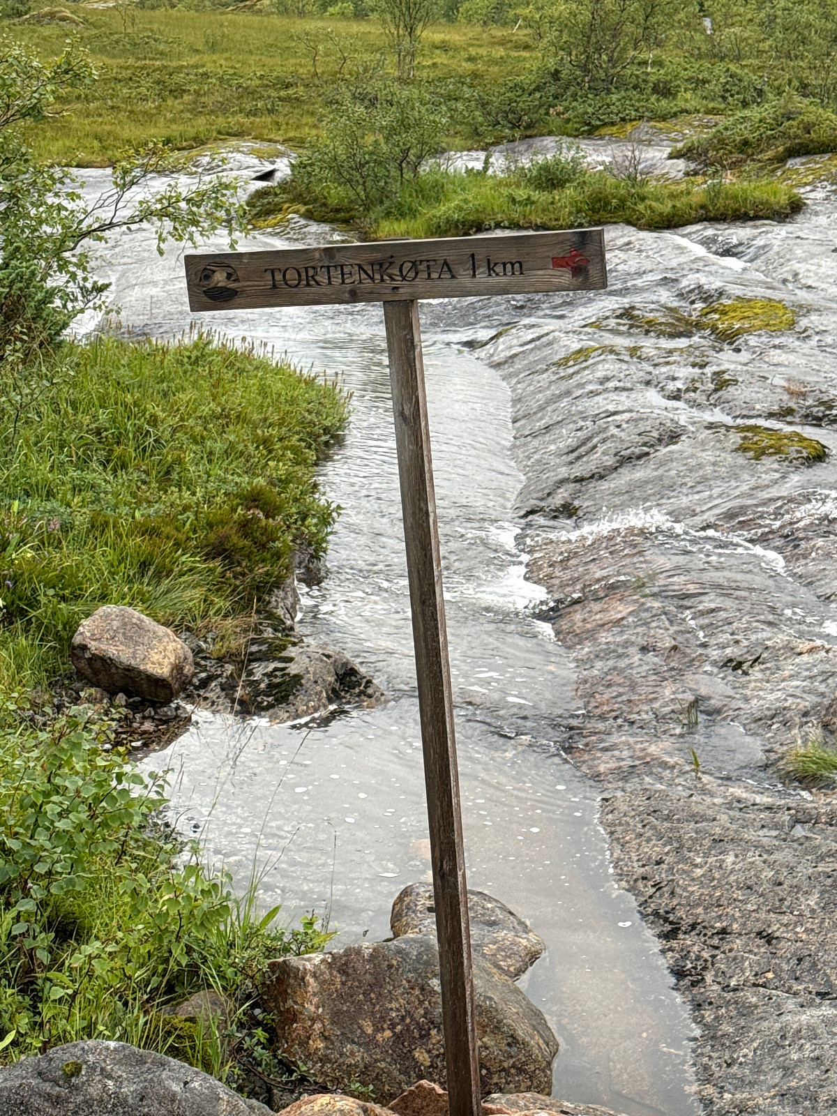
Tortenkøta
Date:
11.08.2025
Characteristic:
Hike
Distance:
2.2
km
© Erling T Dahl
Gøy
Map
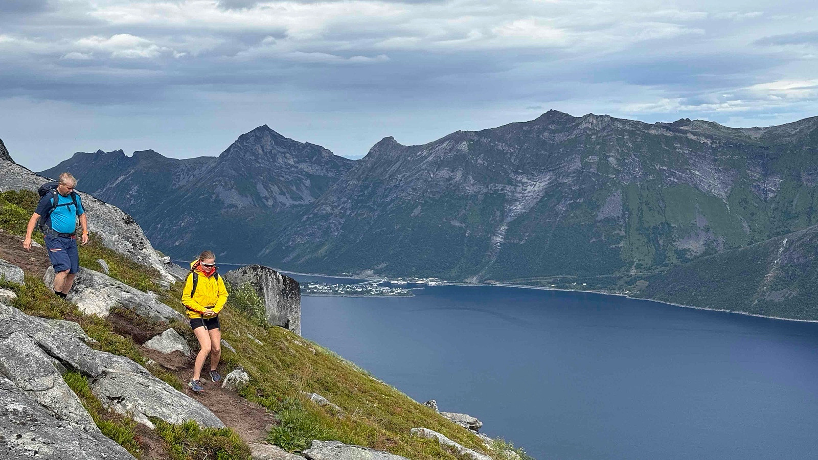
Segla
Date:
08.08.2025
Characteristic:
Hillwalk
Distance:
4.5
km
© Erling T Dahl
Map
Store Skorøy - div
Date:
05.08.2025
Characteristic:
Expedition
Distance:
37.7
km
© Erling T Dahl
Map
Finneidvarden
Date:
02.08.2025
Characteristic:
Hike
Distance:
8.2
km
© Erling T Dahl
Map
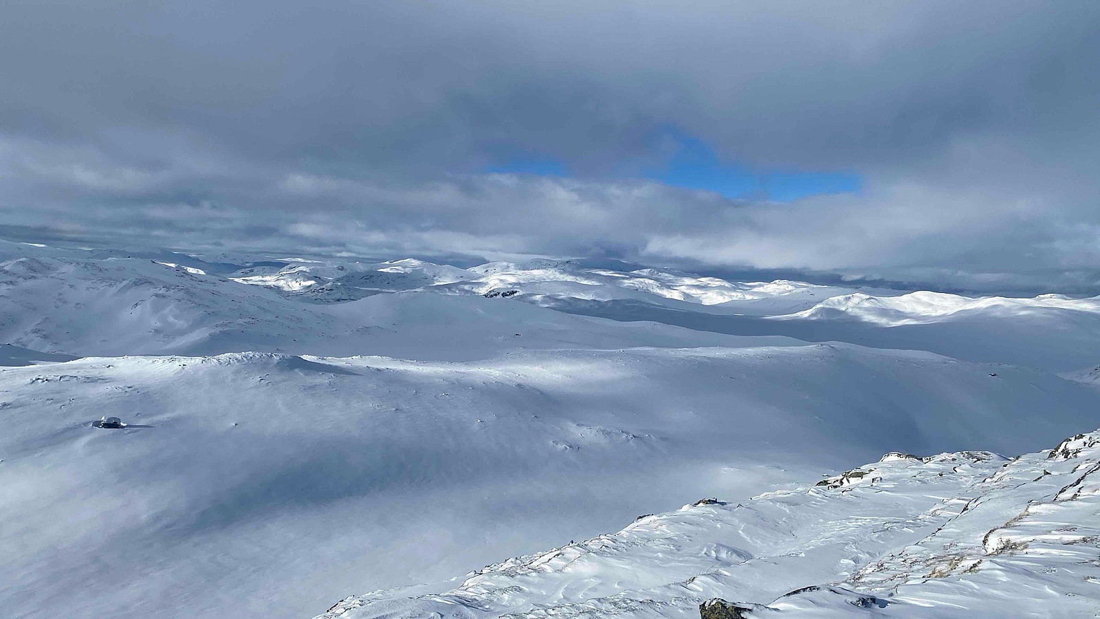
Skørsnøse
Date:
23.02.2025
Characteristic:
Snowshoe trip
Distance:
5.4
km
© Erling T Dahl
Map
Vardhovdtinden
Date:
22.02.2025
Characteristic:
Snowshoe trip
Distance:
14.0
km
Map
«
1
2
3
4
5
6
7
8
9
10
>
»
ErlingT
Login
Language
My trips
My map
My images
My statistics
About me