
Karaldenuten roundtrip from Rong (30.06.2024)

Geschrieben von hbar (Harald Barsnes)

| Startpunkt | Bordals-Løkjane (434m) |
|---|---|
| Endpunkt | Bordals-Løkjane (434m) |
| Tourcharakter | Bergtour |
| Tourlänge | 6h 07min |
| Entfernung | 12,5km |
| Höhenmeter | 916m |
| GPS |
|
| Besteigungen | Karaldenuten (1.295m) | 30.06.2024 13:10 |
|---|
Karaldenuten roundtrip from Rong
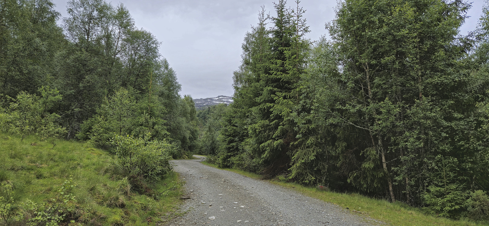
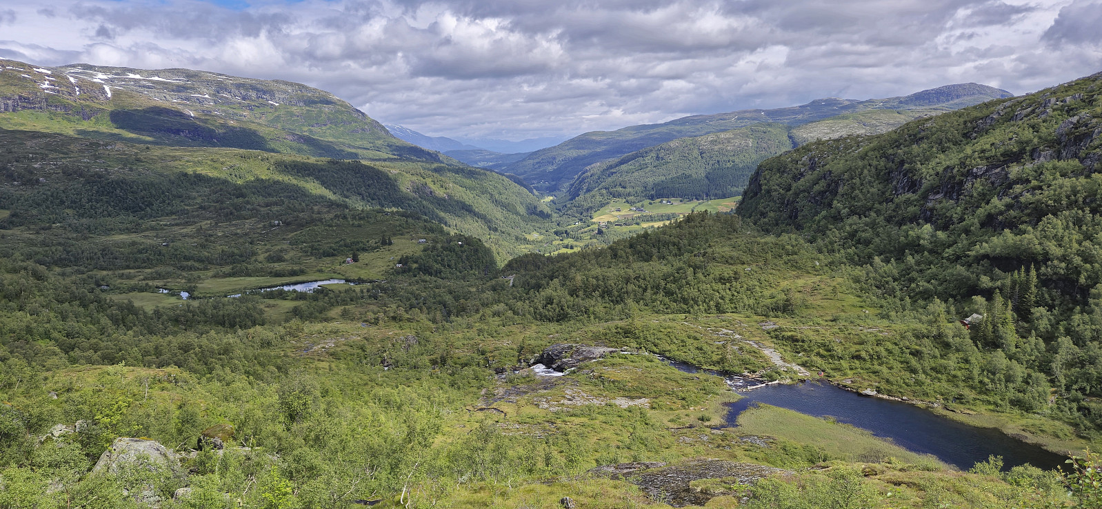
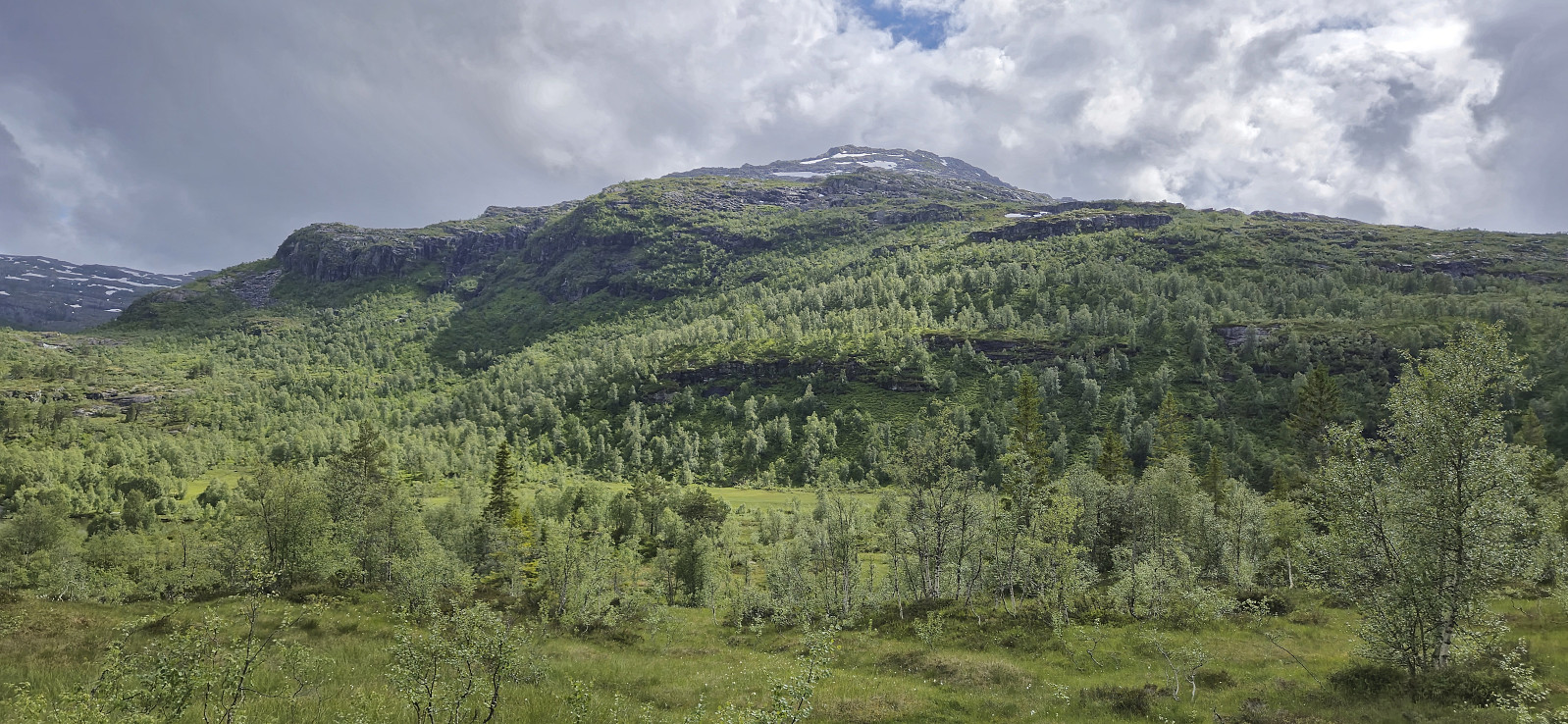
Sunday hike to Karaldenuten organized by Voss Utferdslag. I started by taking the train to Voss where I met up with the others for the short carpool to Rong. Here we parked next to the road south of Rongastovo just after the road forked for Haugamoen. This was also where we met up with the local guide and after a quick overview of the hike we began our ascent along the gravel road towards Grungavatnet.
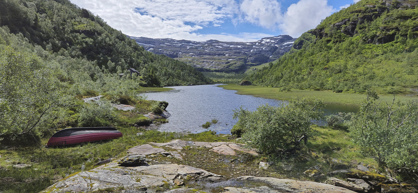
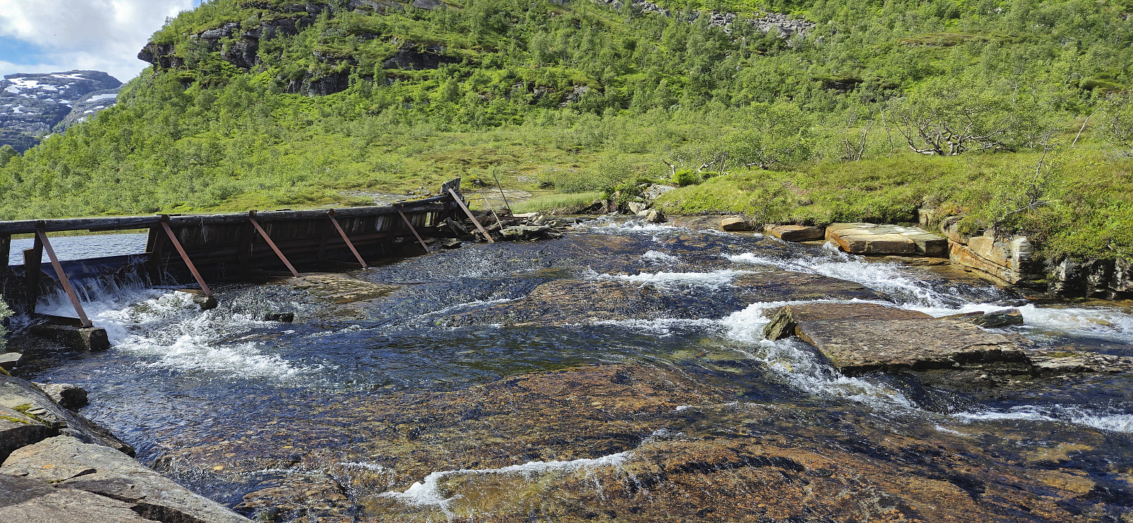
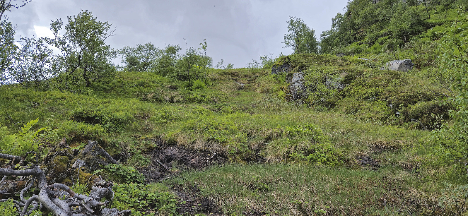
The gravel road turned into a wet trail before we arrived at the northern end of the lake for the first (and the only real) river crossing of the day. A rope had been put up to simplify the crossing and thus we all made it to the other side almost without getting wet.
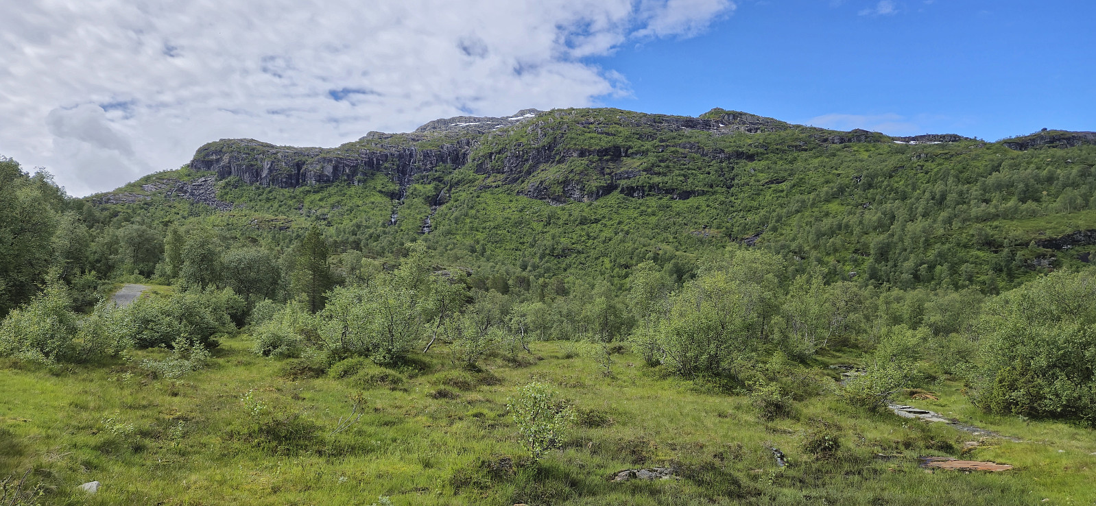
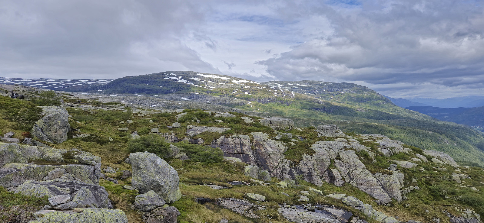
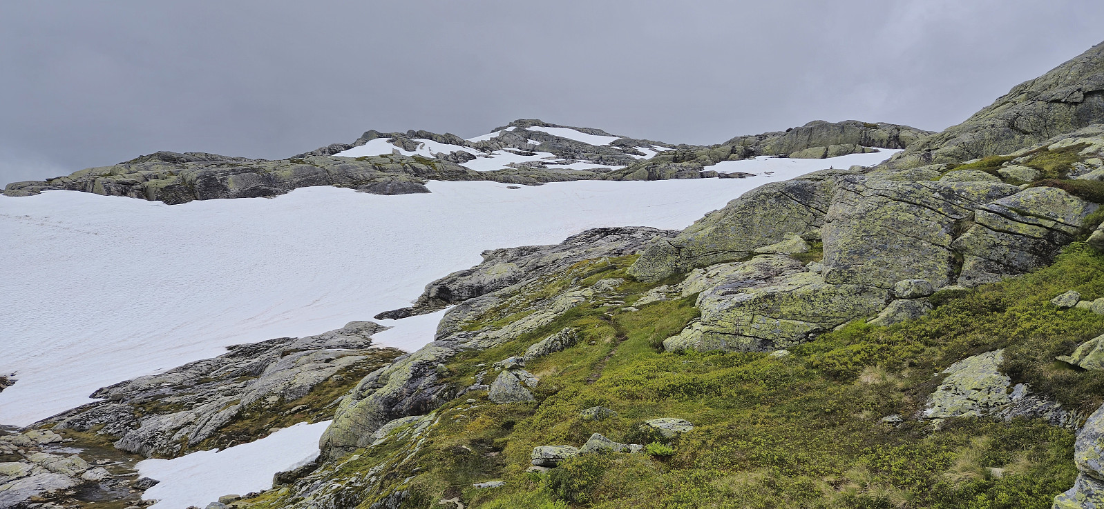
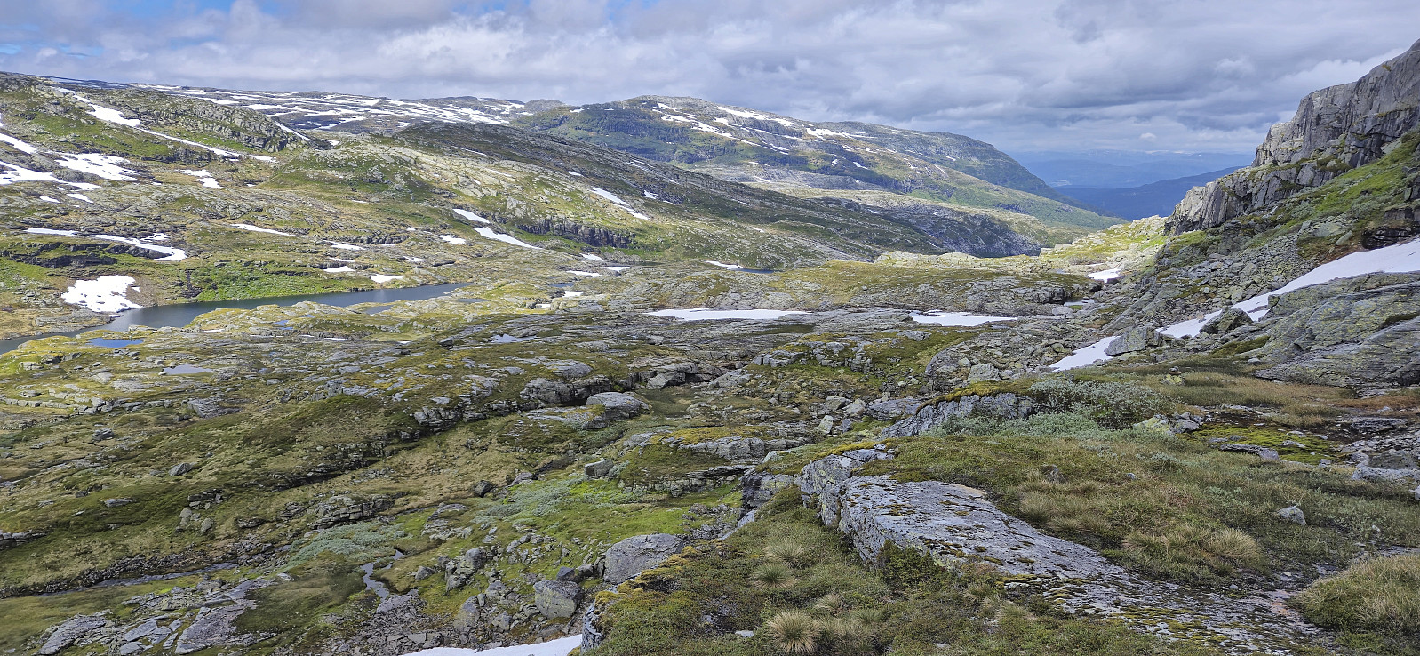
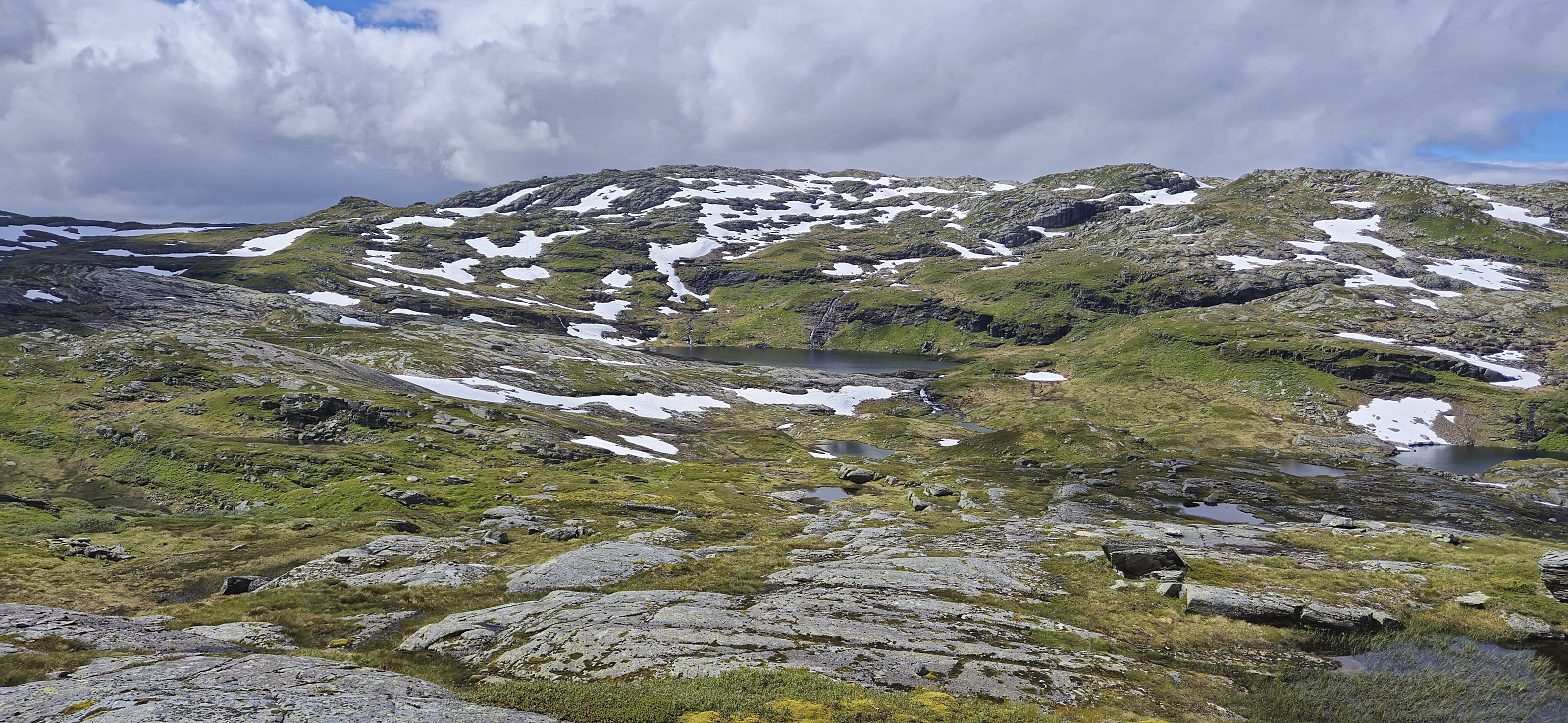
A steep but relatively short section followed before the terrain turned less steep. There was a marked trail all the way to the summit, although the markers, a combination of blue paint and small cairns, were not always the easiest to spot. There were also some larger patches of snow where the trail was completely hidden.
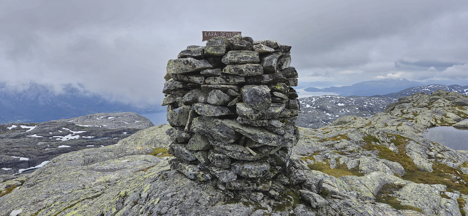
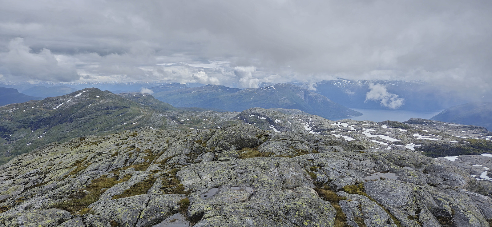
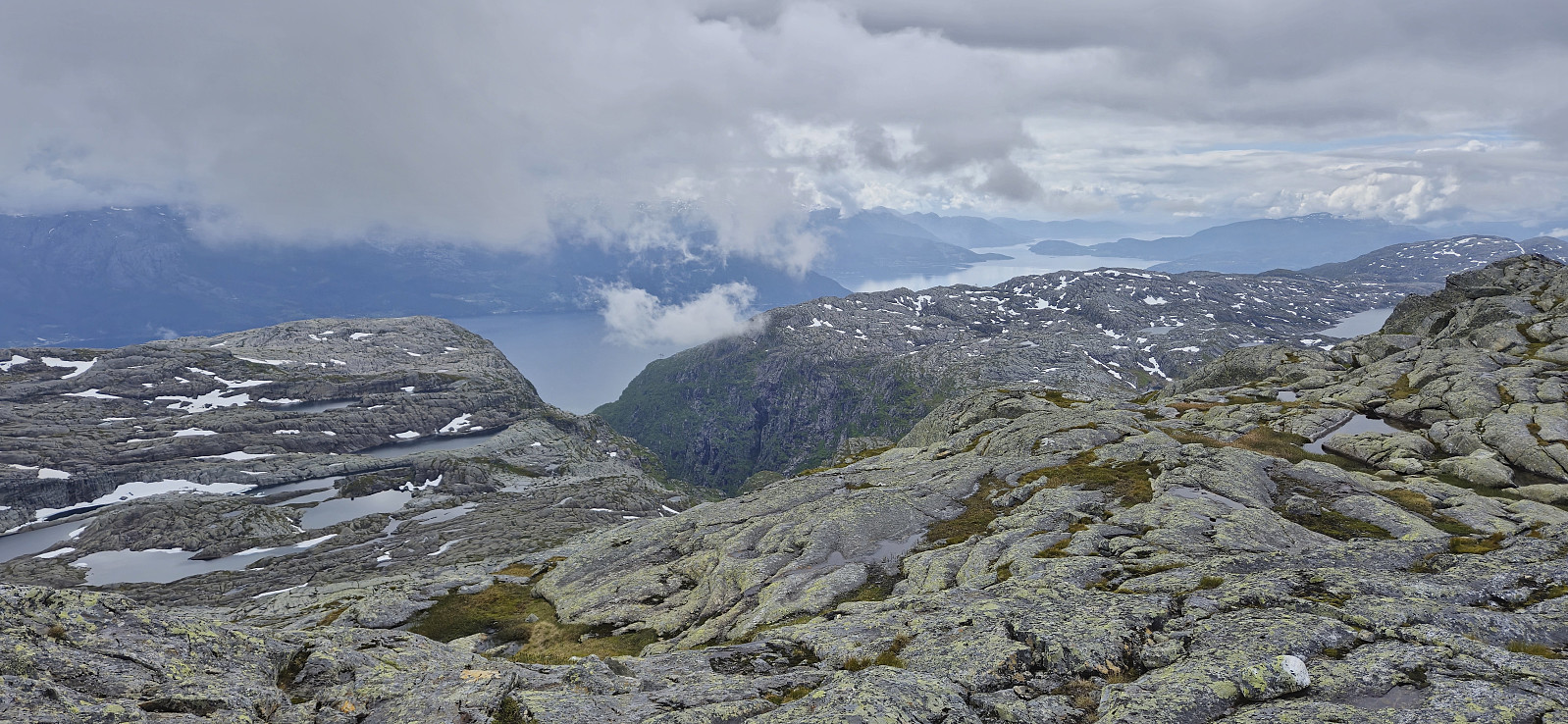
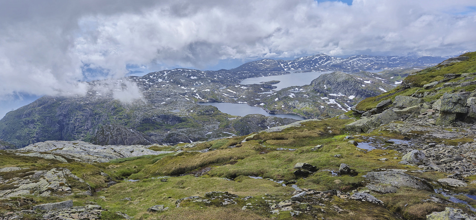
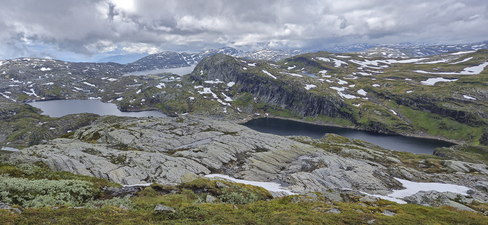
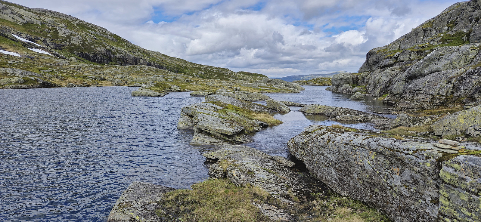
The summit provided an excellent panoramic view, however the low-hanging clouds did their best to hide them. After a lunch break just below the summit we continued our roundtrip, still following the marked trail. At Nedre Steinsetavatnet we had another break before completing the roundtrip to Løkjane and reconnecting with the gravel road. Finally, the hike was concluded by walking back to the cars and driving back to Voss.
In summary, a great hike with excellent views that can be very highly recommended.

| Startzeitpunkt | 30.06.2024 10:31 (UTC+01:00 SZ) |
| Endzeitpunkt | 30.06.2024 16:39 (UTC+01:00 SZ) |
| Gesamtzeit | 6h 07min |
| Zeit in Bewegung | 4h 34min |
| Pausenzeit | 1h 33min |
| Gesamtschnitt | 2,0km/h |
| Bewegungsschnitt | 2,7km/h |
| Entfernung | 12,5km |
| Höhenmeter | 916m |


Benutzerkommentare