
Storgjelsknausen (14.08.2020)

Geschrieben von hbar (Harald Barsnes)

| Startpunkt | Hatlehaug sør (1m) |
|---|---|
| Endpunkt | Hatlehaug sør (1m) |
| Tourcharakter | Bergtour |
| Tourlänge | 1h 49min |
| Entfernung | 4,4km |
| Höhenmeter | 401m |
| GPS |
|
| Besteigungen | Storgjelsknausen (275m) | 14.08.2020 |
|---|
Storgjelsknausen
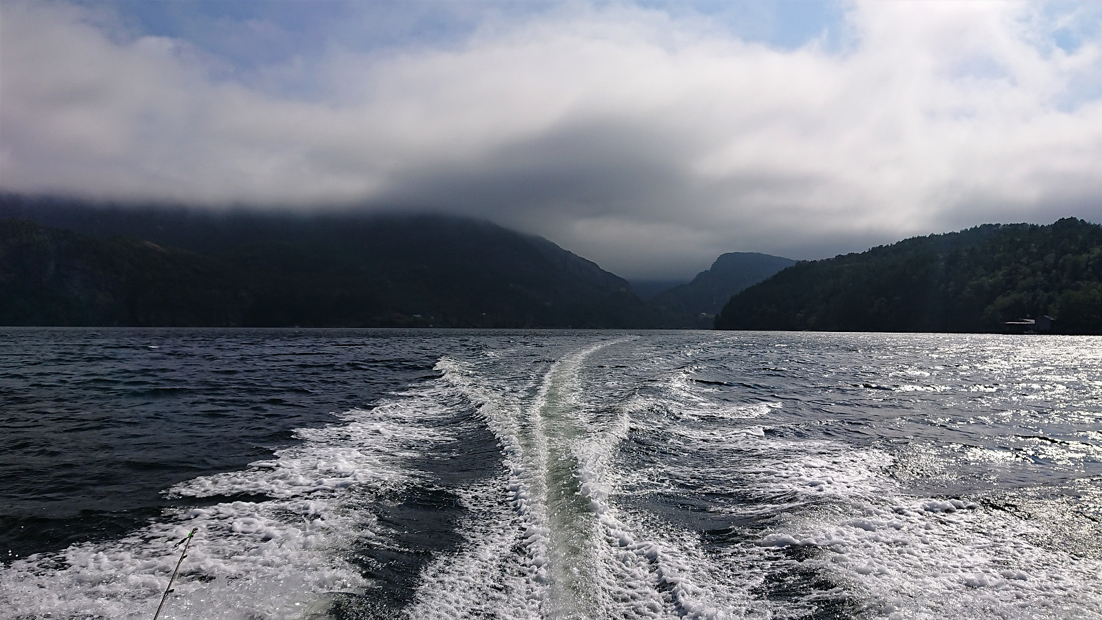
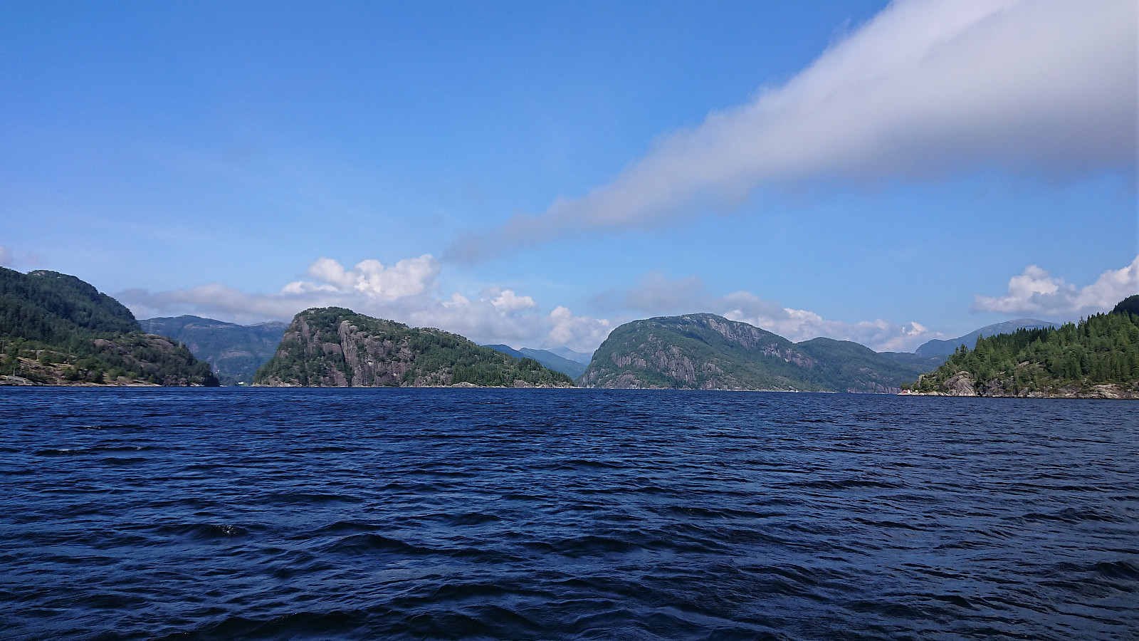
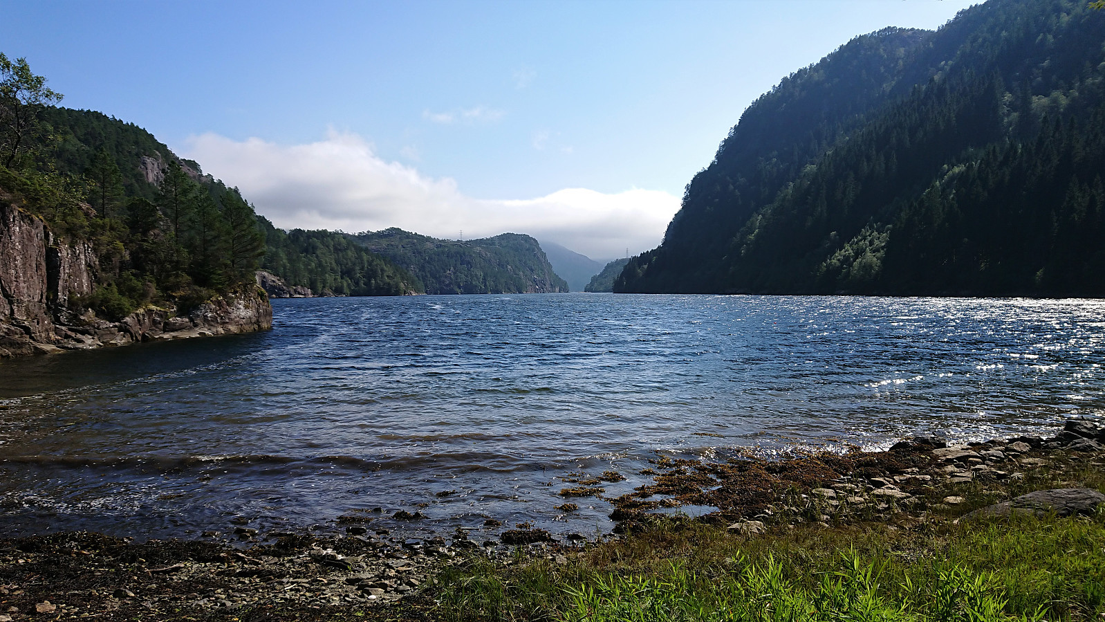
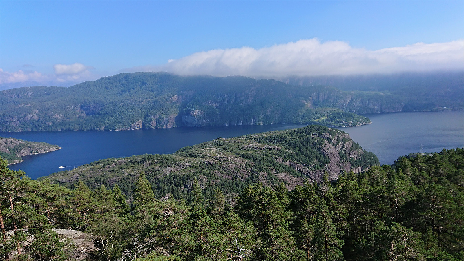
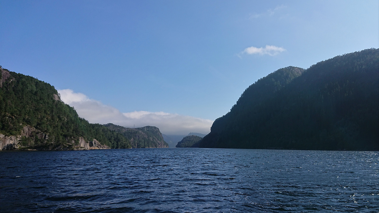
Part one of today's excursion to hard-to-reach island peaks in Osterfjorden. Starting from Litlebergen, it took us about 45 minutes to reach Midtsundet and Hatlehaug, in the process leaving the fog and low-handing clouds behind and replacing them with sun and blue sky.
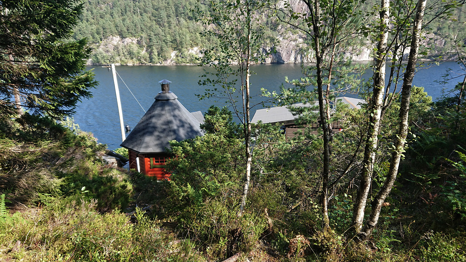
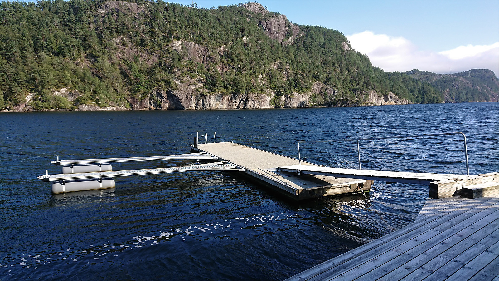
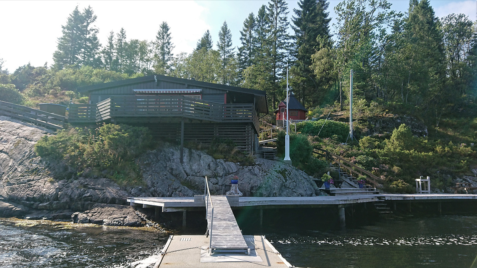
My friend and colleague did not have much interest in joining me on my visits to these rather special-interest peaks, hence he stayed in the boat and had a go at fishing instead. The initial plan had therefore been for him to drop me off at Setervika, but this option was quickly rejected and I was instead put ashore at the private dock in front of the southern-most cabin at Hatlehaug.
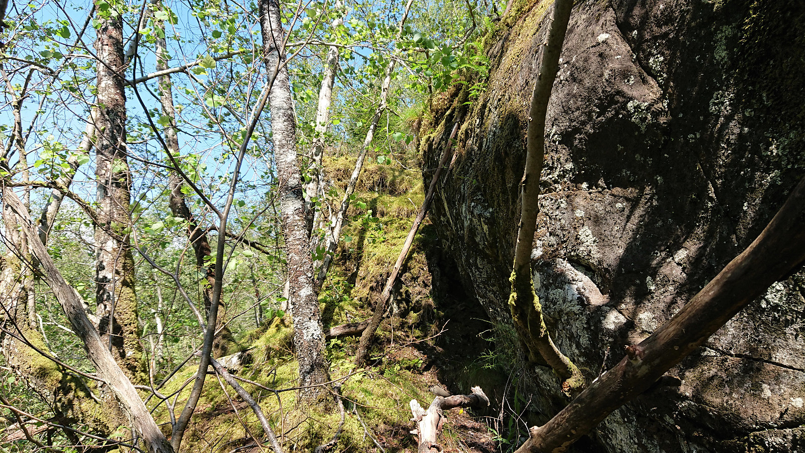
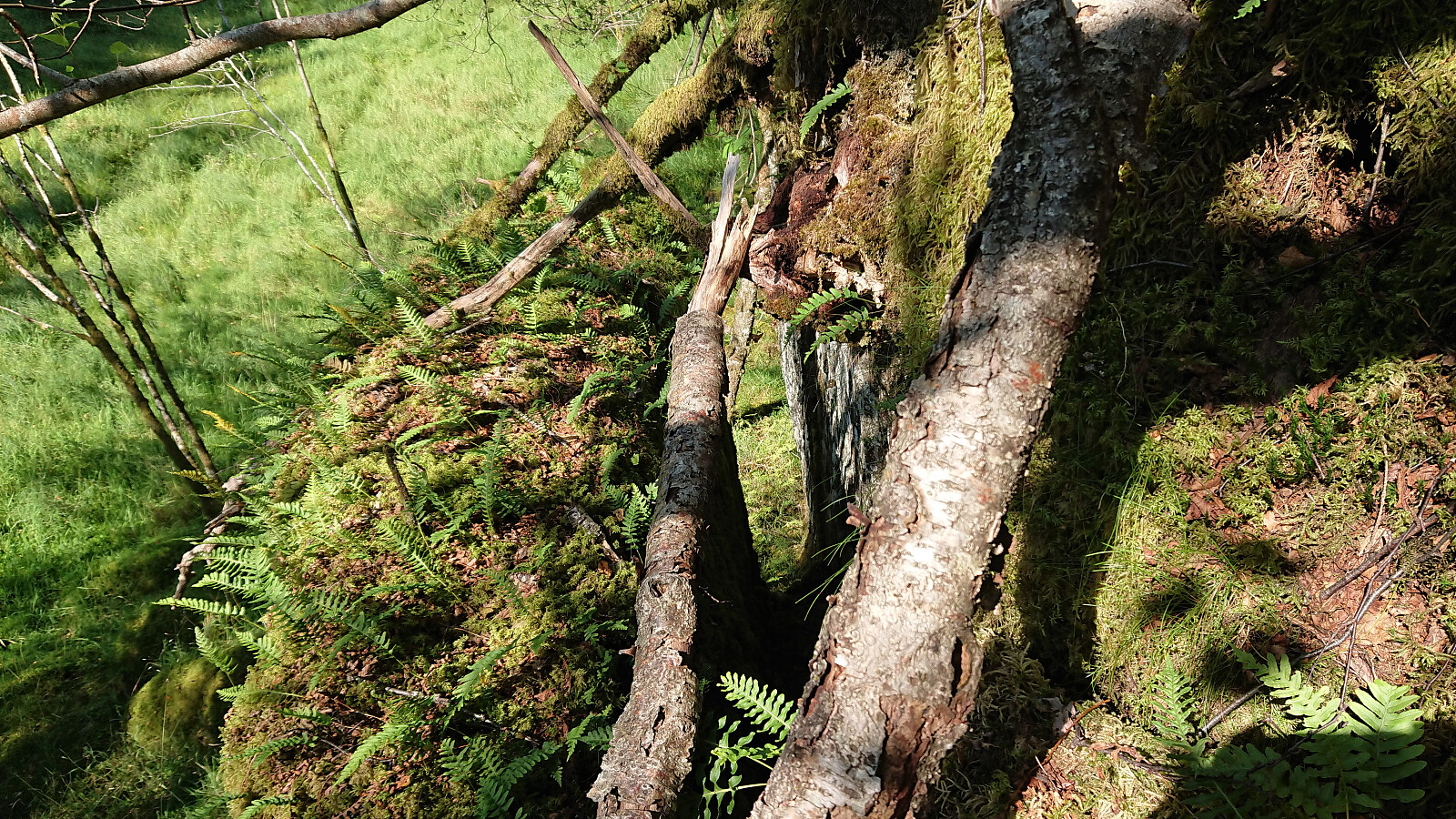
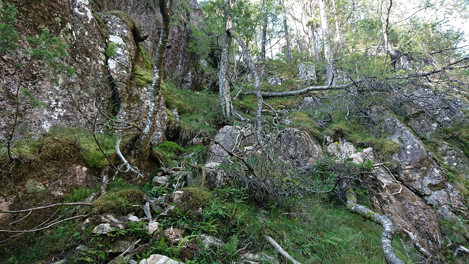
This last-minute change required some minor trespassing to get behind the cabin, but it soon turned more challenging given the small vertical drop making up the western end of Hatlehaug. At first it looked too steep to descend safely, which would require an annoying detour north. But after a bit of searching I managed to find what looked like a possible descent route. The top half required some light climbing, while the bottom half was greatly simplified by a large rock standing at an angle, making just enough room for me to descend between it and the vertical cliff.
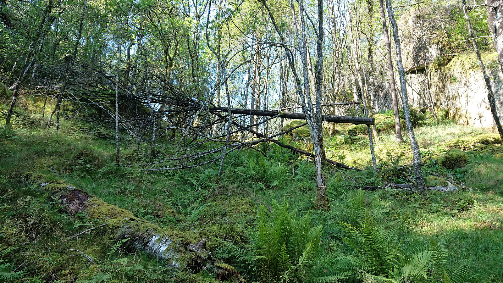
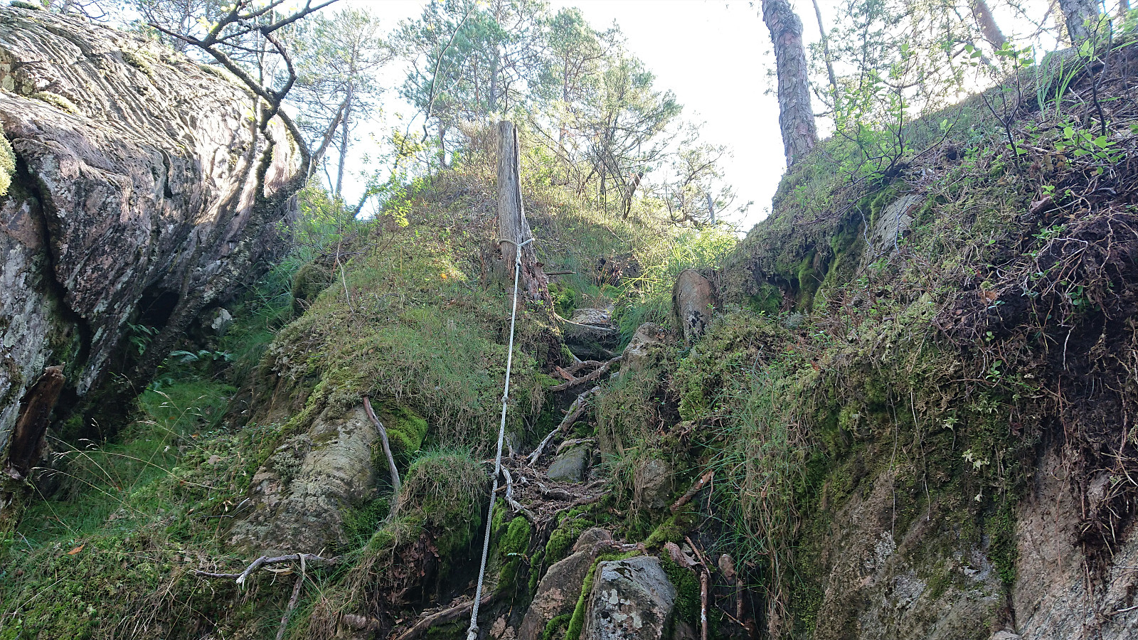
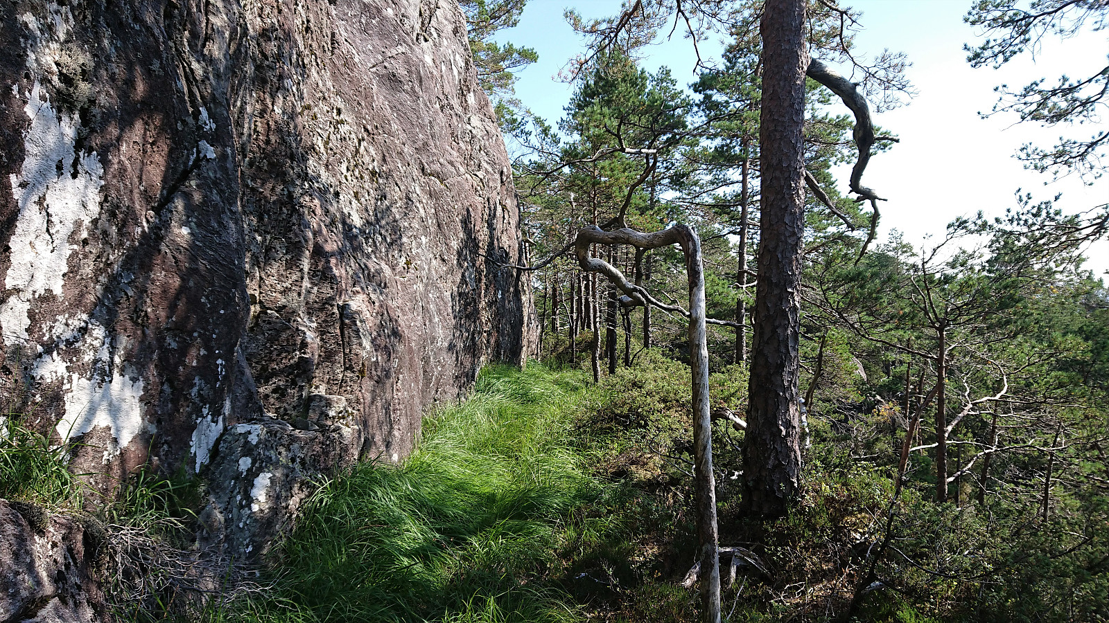
Finally down from Hatlehaug, it was time to start the real hike, mainly following in the footsteps of previous PB-reports and (after a short unnecessary detour) making my way northwest up from Setervika. Here I came across a track/trail that I could follow for most of the hike, even if it was rather weak at times. There was even a rope at one point. So clearly this track/trail is/was not only used by animals.
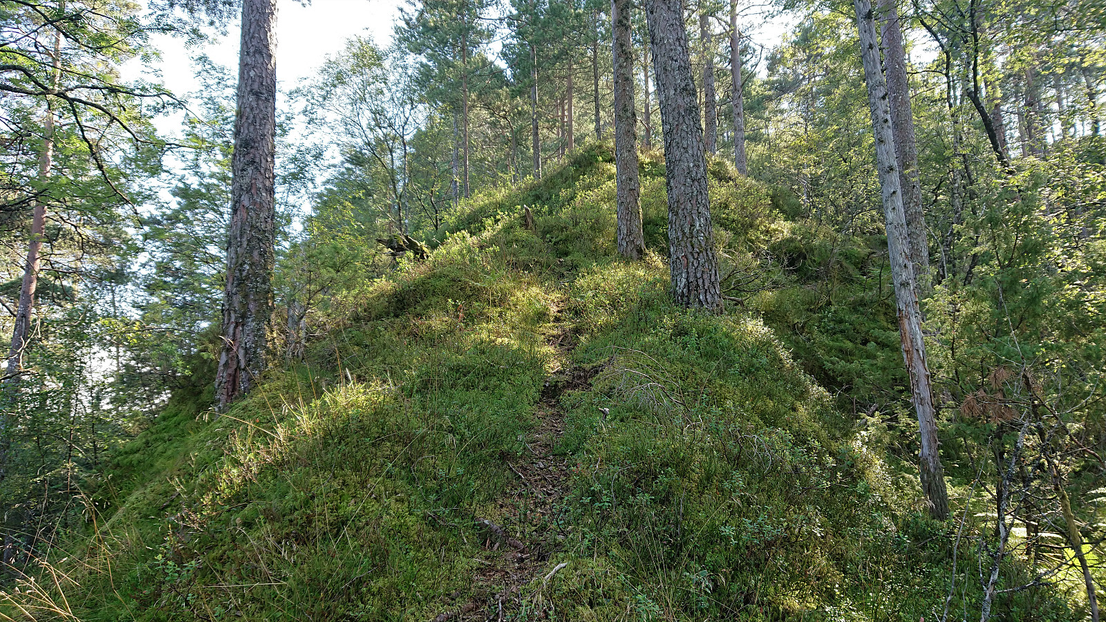
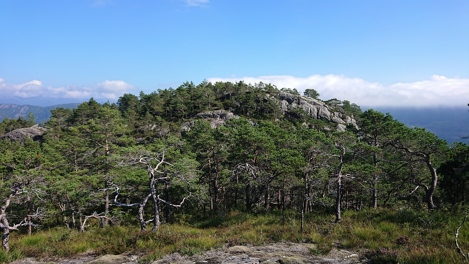
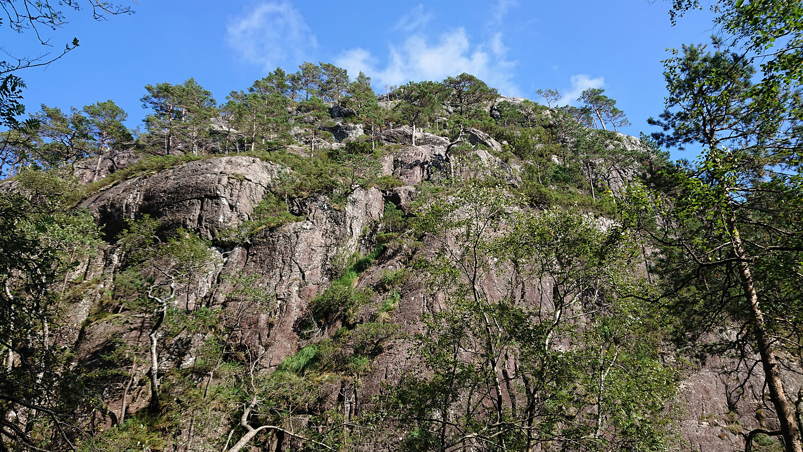
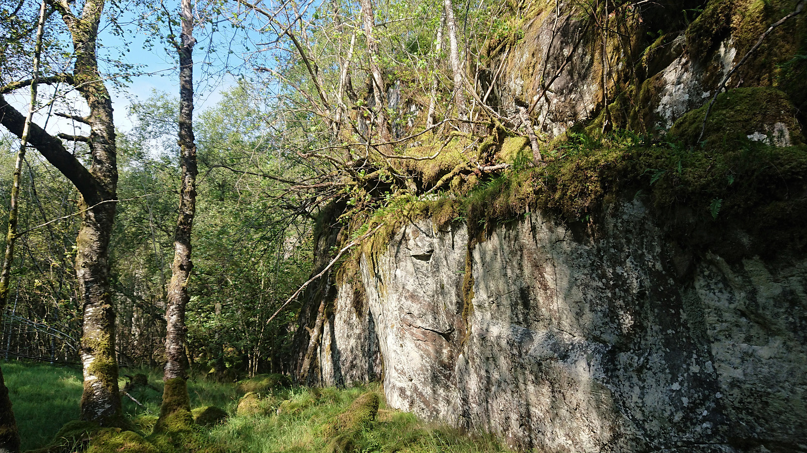
The smaller hill west of the summit was reached without any issues, from where it was clear that a direct ascent towards the summit was not an option, as it was simply too steep. Thankfully I again located the track/trail which lead me steeply down into the small valley west of the summit.
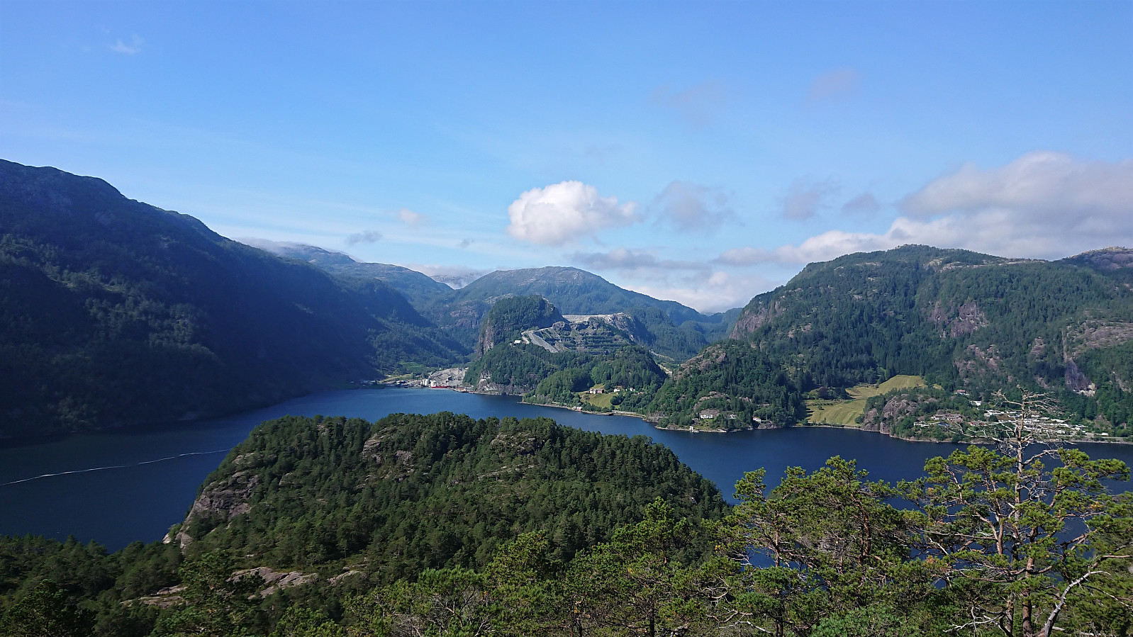
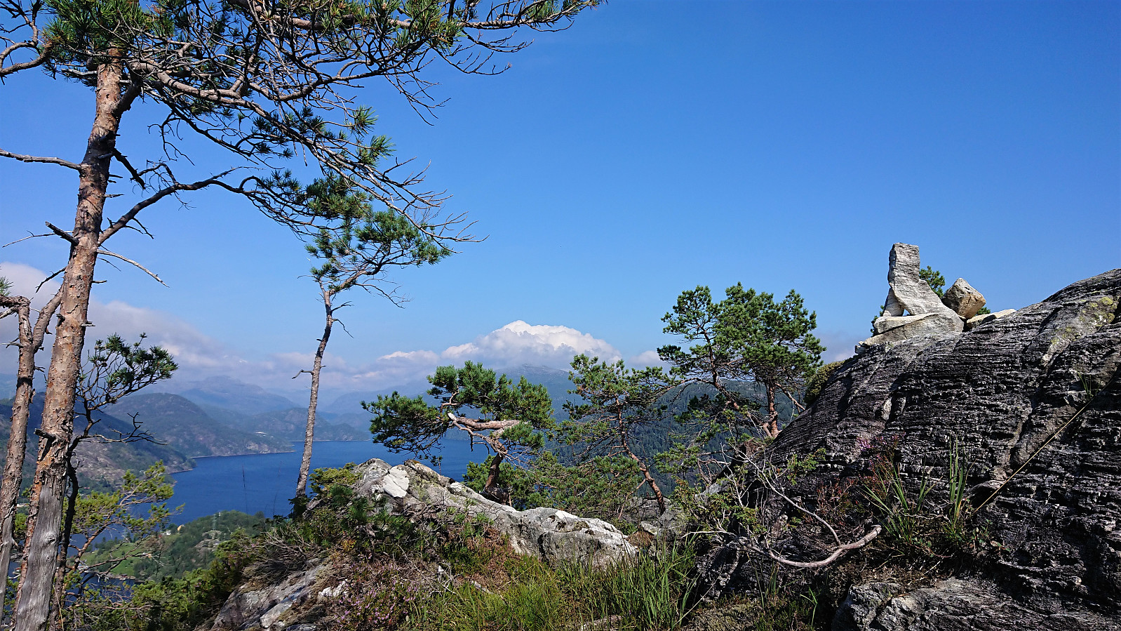
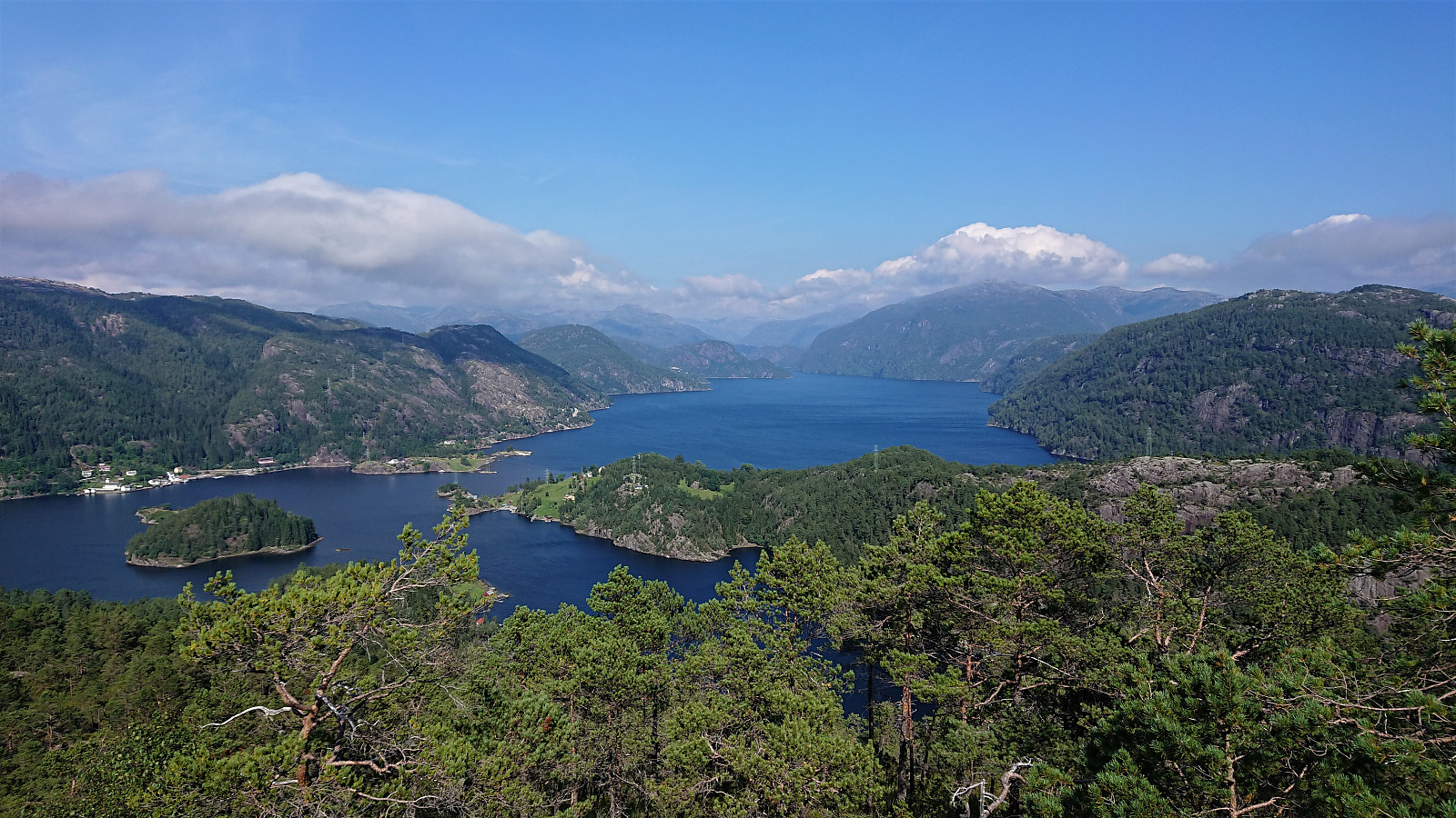
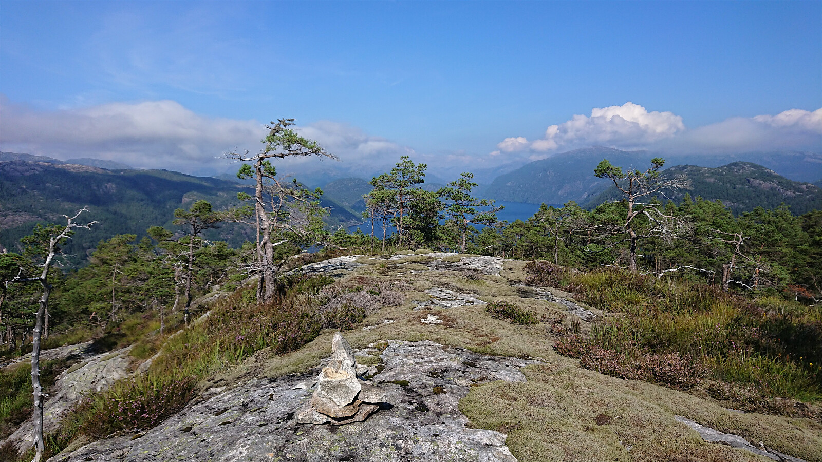
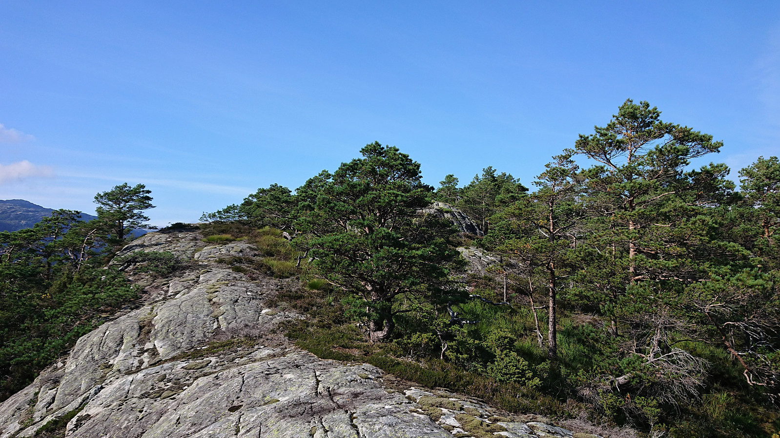
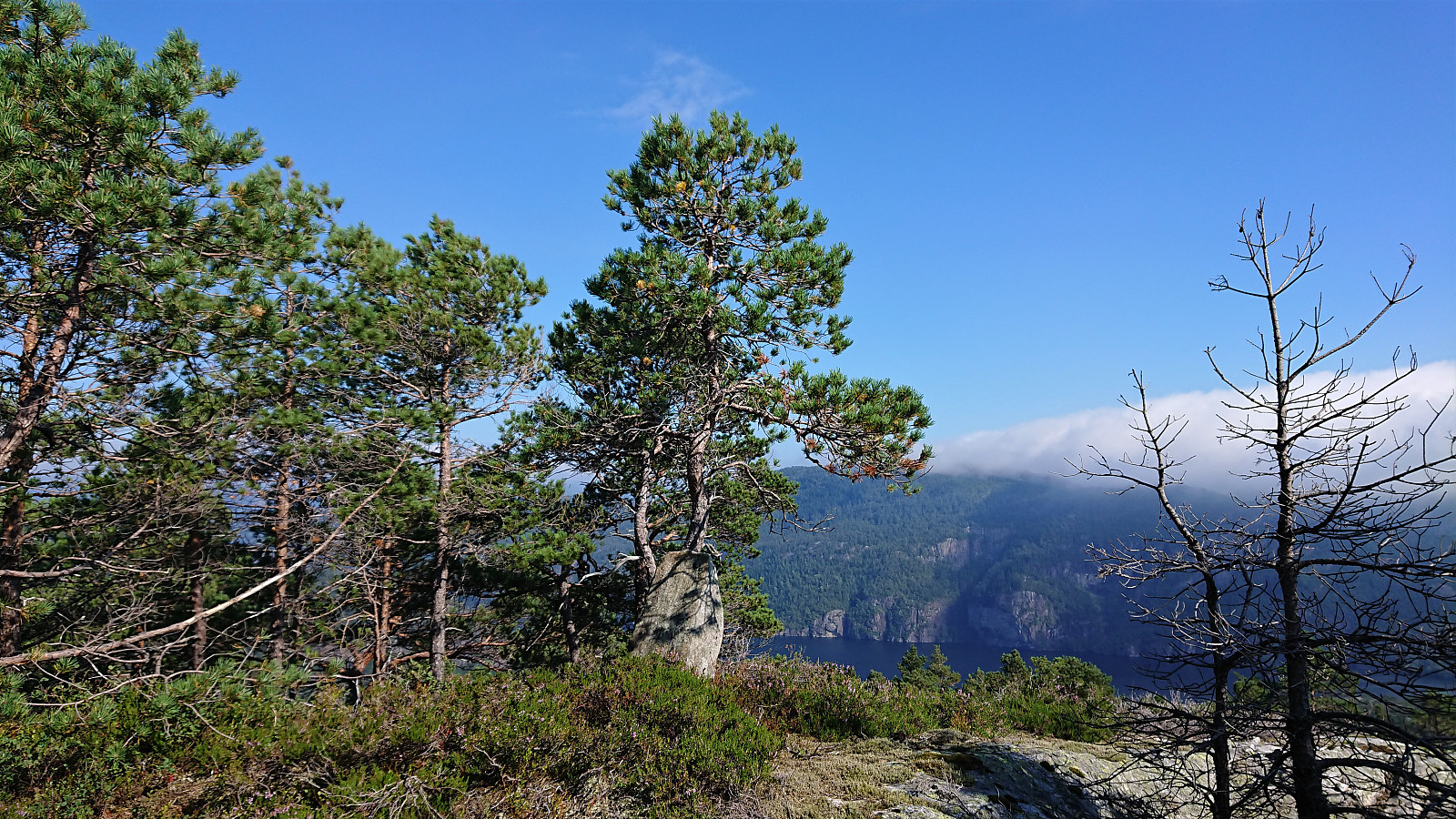
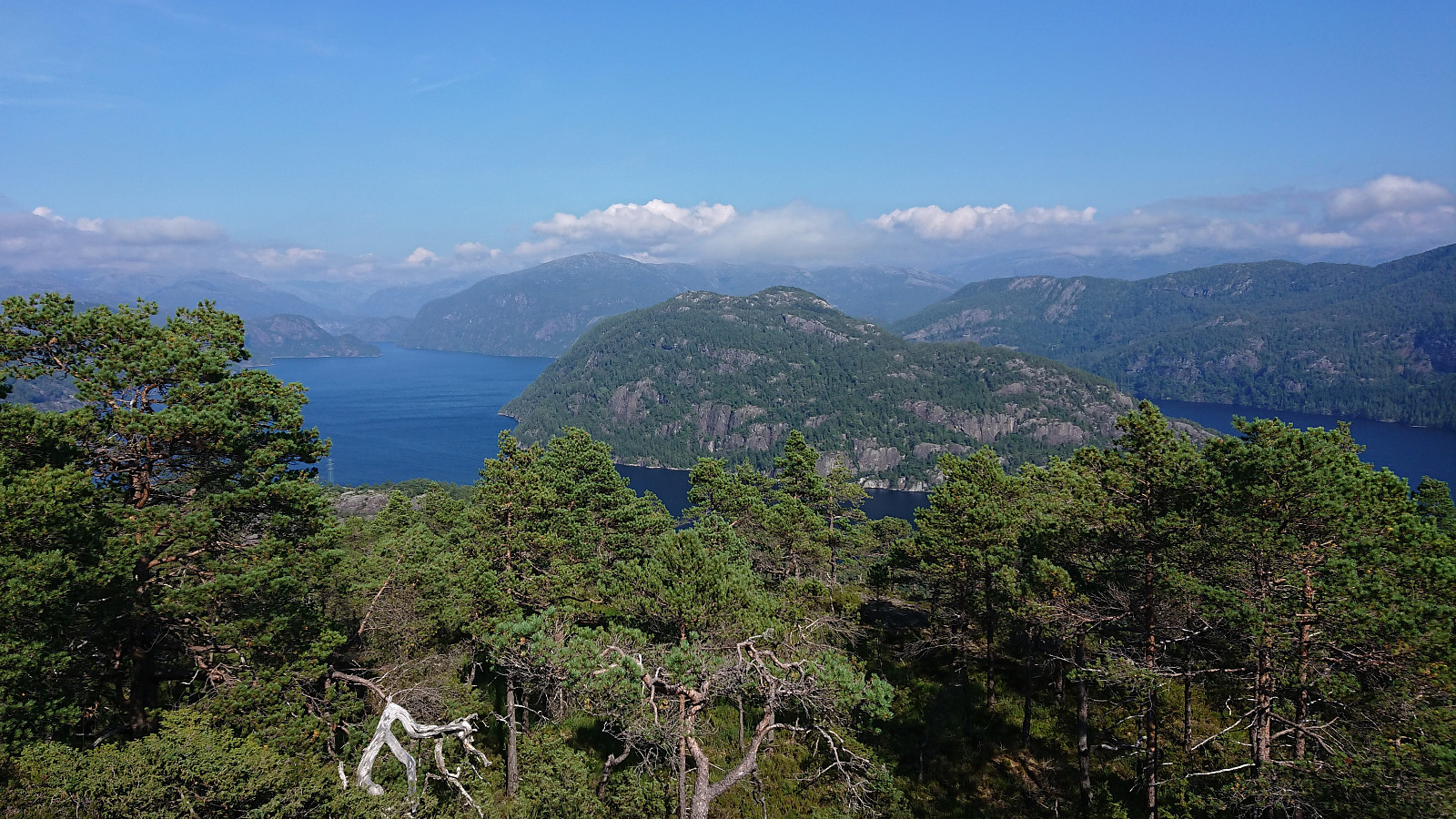
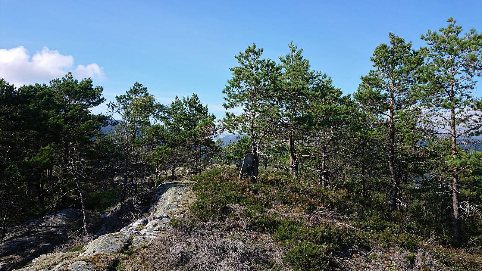
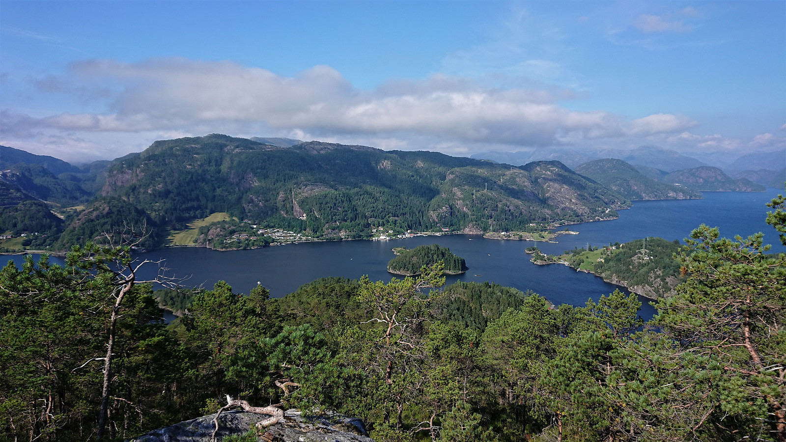
Upon arriving south of the summit, I was not patient enough, and started my ascent too early, thus ending up with a bit of light climbing in order to reach the summit area. (This could easily have been avoided if heading south for another 5-10 meters before starting the ascent, as later proven on the descent.) Nice views from the summit, at least if moving slightly away from the cairn/rock marking the highest point.
For the descent I followed more or less the same route, although skipping the light climbing part as indicated above, and was happy when my descent route from Hatlehaug could be used in reverse without any problems. After a repeat of the minor trespassing to get by the cabin, I arrived at the private dock ready to be picked up and head on to Hokøy.
In summary, while probably not a summit that most hikers will feel the need to visit, it can, due to the track/trail, be reached without any real challenges. That is if you manage to get to the track-/trailhead. If possible, I would recommend starting directly from Setervika.
| Startzeitpunkt | 14.08.2020 14:51 (UTC+01:00 SZ) |
| Endzeitpunkt | 14.08.2020 16:41 (UTC+01:00 SZ) |
| Gesamtzeit | 1h 49min |
| Zeit in Bewegung | 1h 39min |
| Pausenzeit | 0h 10min |
| Gesamtschnitt | 2,4km/h |
| Bewegungsschnitt | 2,6km/h |
| Entfernung | 4,4km |
| Höhenmeter | 400m |


Benutzerkommentare