
Cycling: Skjønhammaren and Høgafjellet (31.07.2020)

Geschrieben von hbar (Harald Barsnes)

| Startpunkt | Malkenes kai (2m) |
|---|---|
| Endpunkt | Lønborg (57m) |
| Tourcharakter | Fahrradtour gemischt |
| Tourlänge | 12h 07min |
| Entfernung | 106,8km |
| Höhenmeter | 2.277m |
| GPS |
|
| Besuche anderer PBE | Bryggen i Bergen (1m) | 31.07.2020 |
|---|---|---|
| Salsborg p-plass (50m) | 31.07.2020 | |
| Skaret p-plass (150m) | 31.07.2020 |
Cycling: Skjønhammaren and Høgafjellet
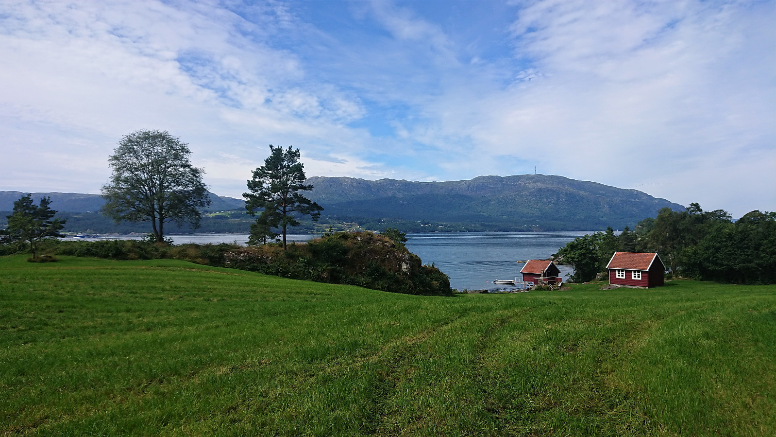
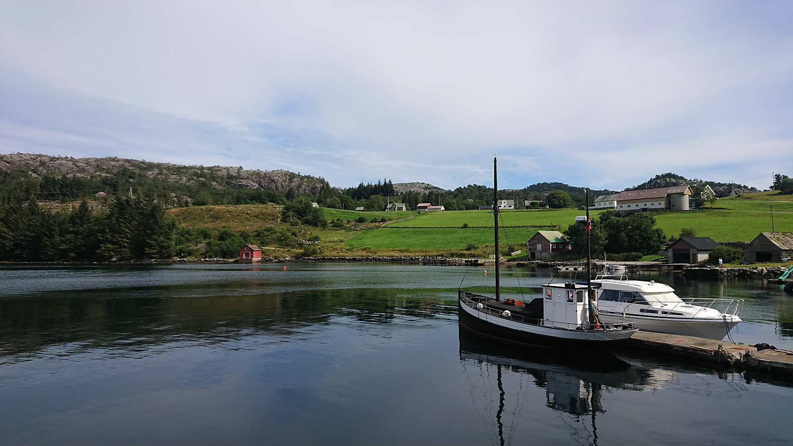
On the last weekday of my summer holiday I decided to go for another ambitious cycling trip. Yet again starting by bringing my bike with me on the express ferry to Malkenes and following the now common route along the lovely Onarheimsfjorden. However this time the plan was to continue all the way to the southern tip of Tysnesøya and Hodnaneset, and then take the ferry to Nordhuglo.
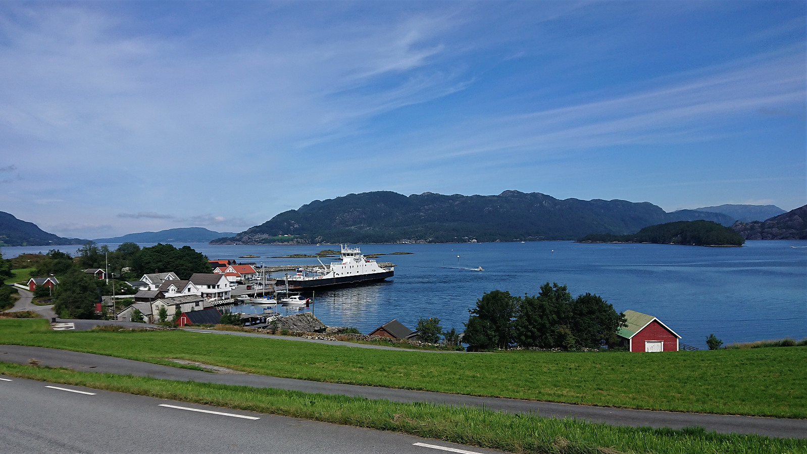
I had perhaps underestimated the time it would take me to reach Hodnaneset though, and with a ferry to catch I had to push in order to make sure get there in time. In the end I made it with less than ten minutes to spare, and after boarding the ferry I could finally take my first real break. Which was made even longer by the ferry first heading to Jektavik (at Stord) before turning southeast for Nordhuglo.
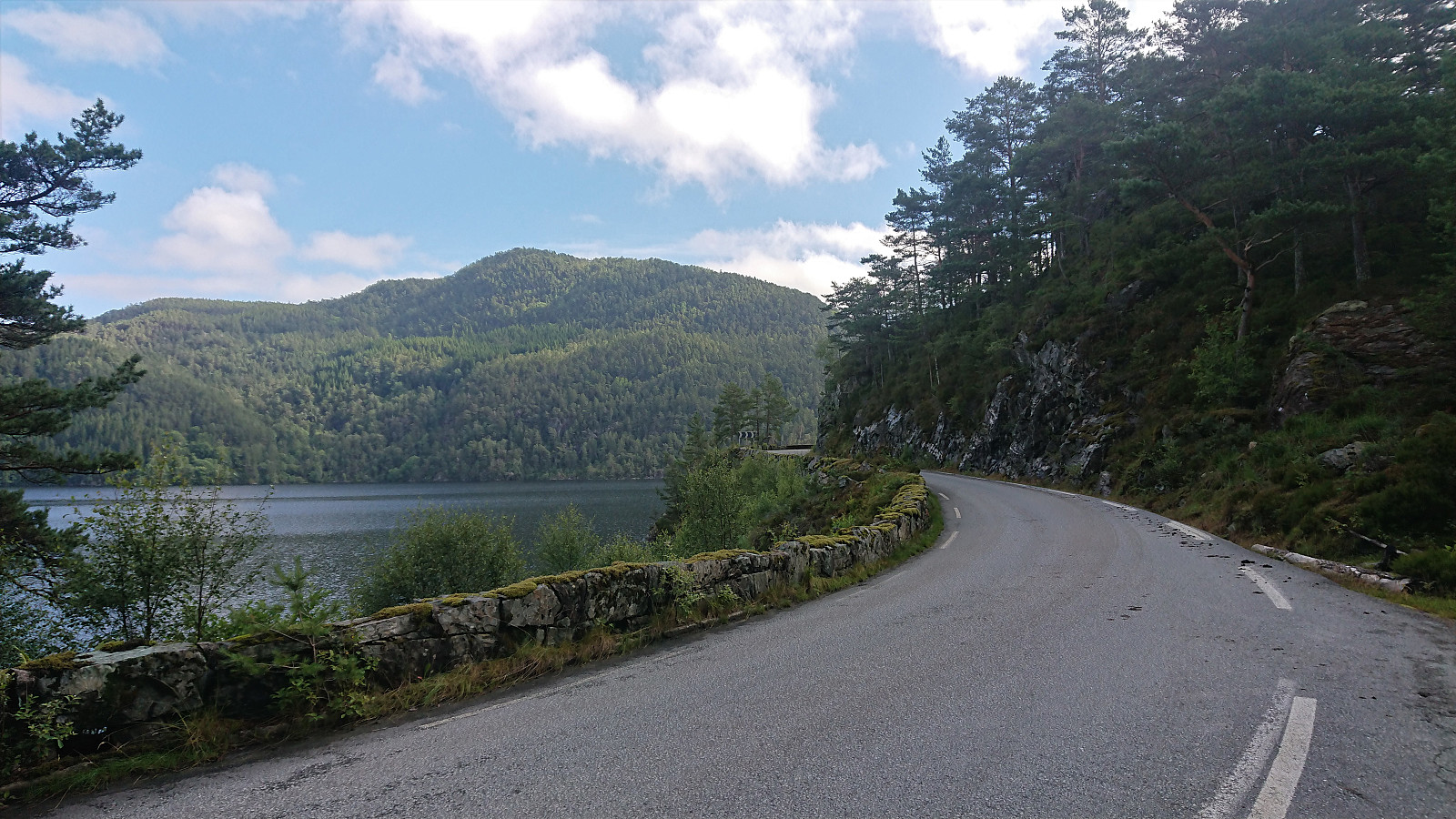
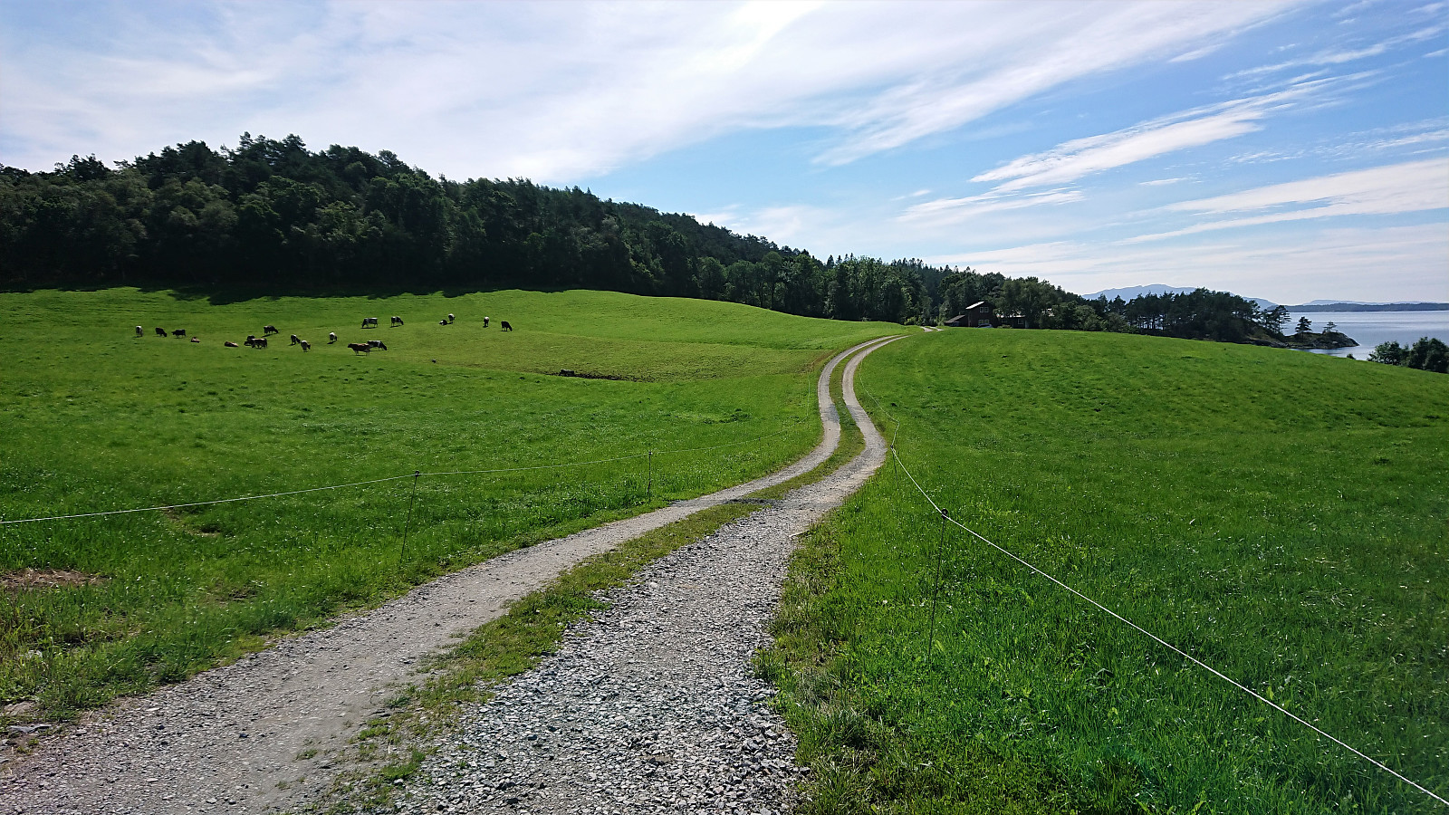
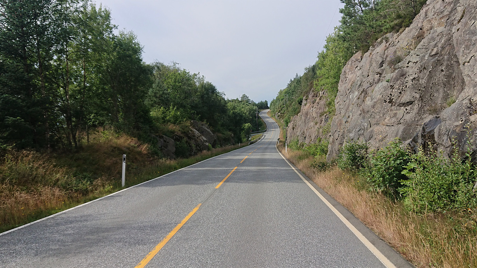
At Nordhuglo, I cycled south along the roads to Sørhuglo and my first goal of the day: Skjønhammaren. Narrow paved roads, but also close to no traffic. I initially missed my exit for Skjønhammaren and ended up at Tveit before realizing my mistake and turning back. In my defense the exit was not marked at all, only consisted of a gravel road, and seemed to head up to a single farm.
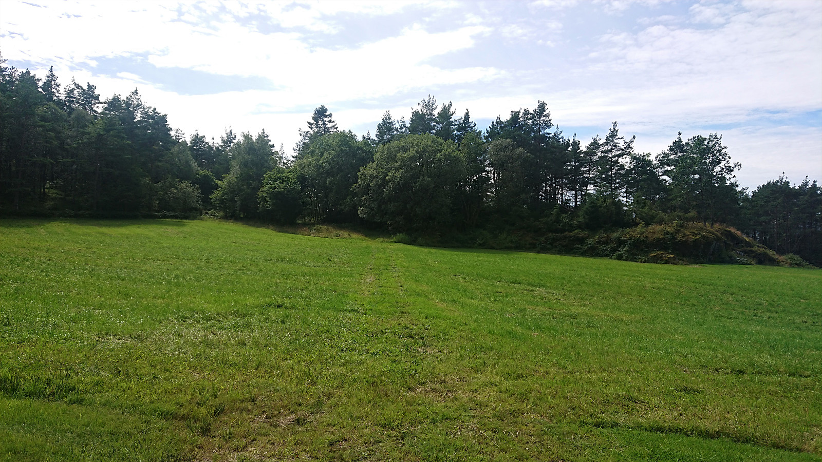
According to the map, the (gravel) road was supposed to continue until I was less than a couple hundred meters from the summit of Skjønhammaren, but just as I arrived at the last house at Korsneset the road stopped at a field with only some weak tractor tracks across it. Assuming that the road would pick up at the other side of the field, I continued south.
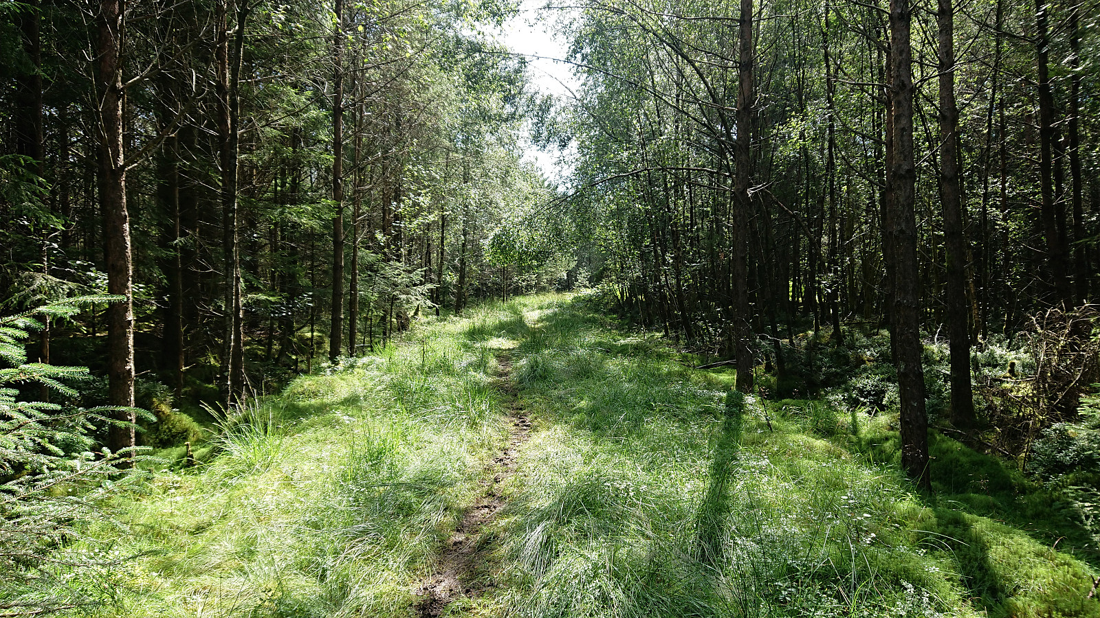
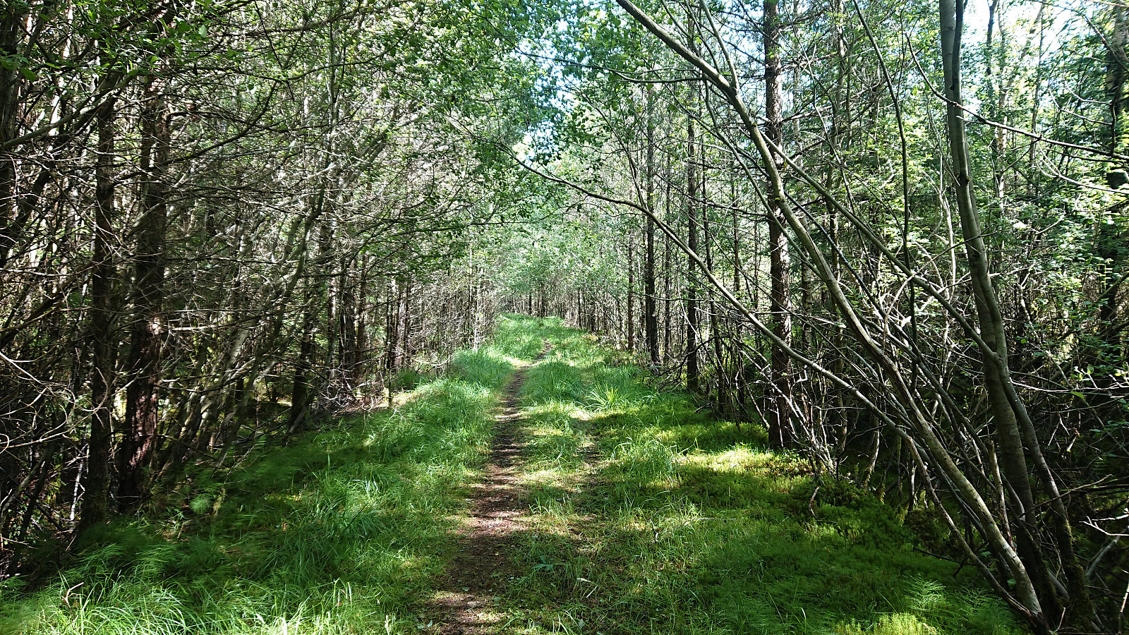
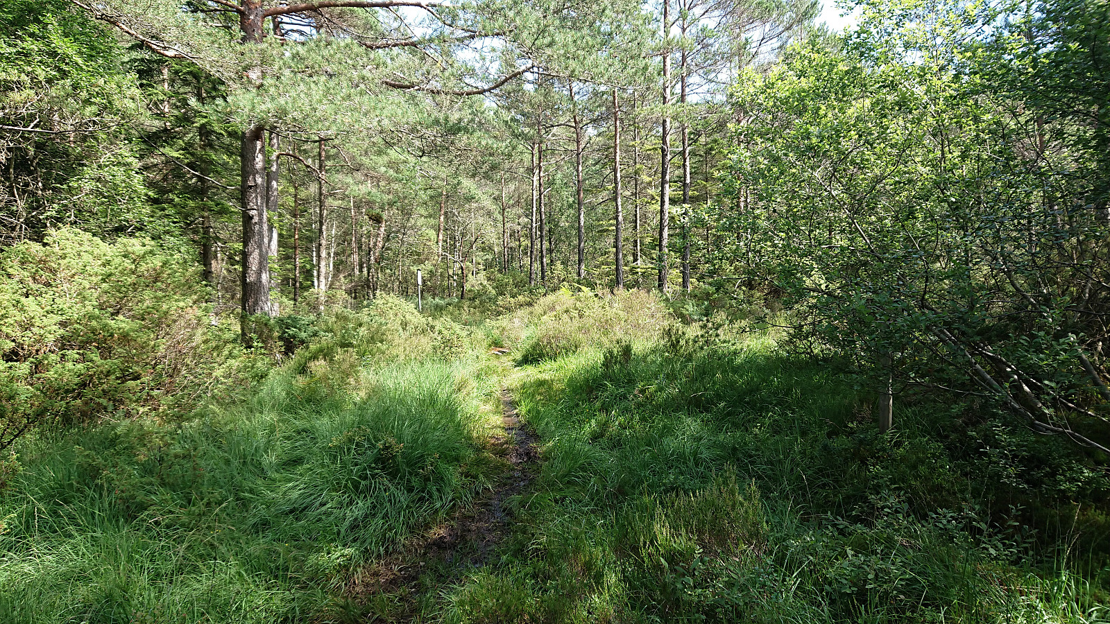
What I found could at best be described as an old tractor road, and quickly turned muddy. I continued cycling where possible, although at times it was easier to walk next to the bike. I was now happy that I came on an off-road bike as a road bike would clearly struggle under these conditions. I finally arrived at the crossroads indicating the trailhead for Skjønhammaren, where I left my bike behind and continued the rest of the way on foot. See the separate Skjønhammaren trip report here.
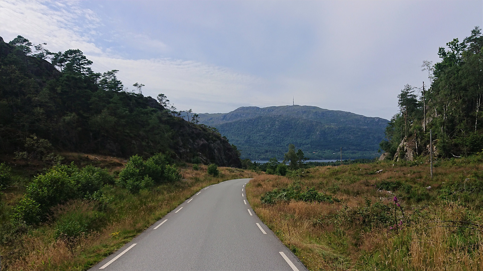
Upon returning to my bike, I tried cycling back to the gravel road, but again had to play it safe at times and walk where the mud was too deep or slippery. I was therefore very glad to get back to the paved road and head north towards Høgafjellet.
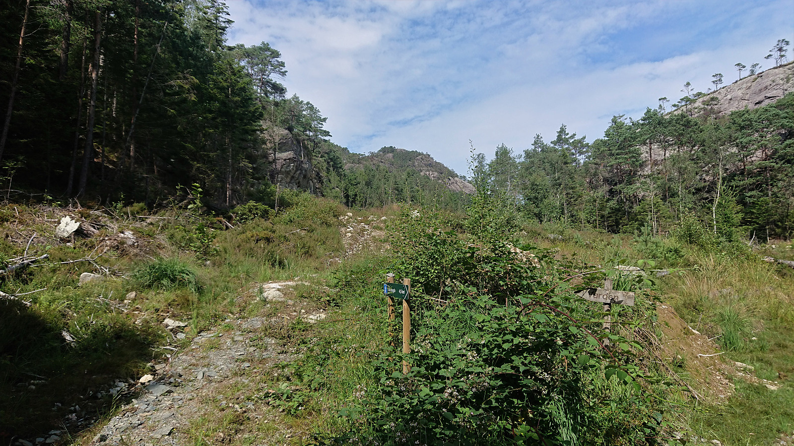
According to the map there seems to be two parallel trails to Høgafjellet from the south, I was however only able to locate the marked trailhead for the eastern option, as the western option seemed to start in the middle of a small quarry. Next, I left my bike by the side of the road and started up the trail. See the separate Høgafjellet trip report here.
Once I was back on the paved road, I again hopped on the bike and cycled the short distance to Huglavika for the ferry back to Hodnaneset, getting there with 10-15 minutes to spare. The ferry ride again provided another extended break as the ferry passed by Jektavik this time as well.
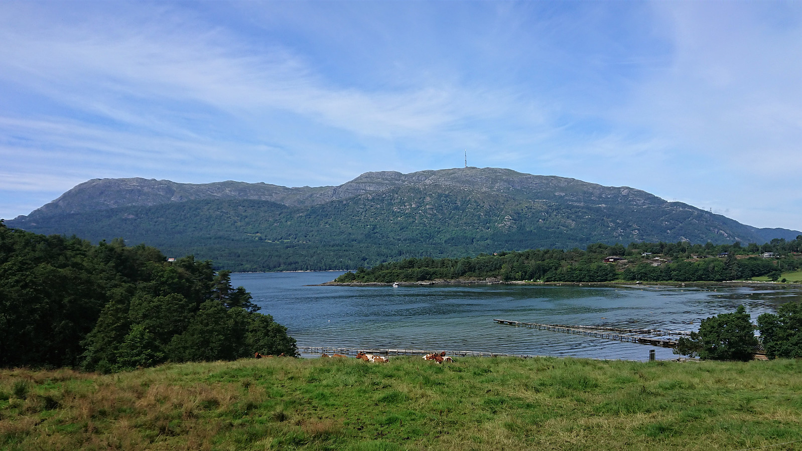
Initially I had planned to get off at Jektavik and from there cycle to Sandvikvåg and the ferry to Halhjem. But after noticing the heavy traffic on E39, I decided to rather head north from Hodnaneset to Våge. Clearly the better option in terms of the amount of traffic, although it was 5-7 km longer.
Even though I took it pretty easy, I still arrived at Våge with more than 40 minutes to spare until the next ferry. As in addition to the longer distance the frequency of the ferries from Våge to Halhjem is the only other disadvantage of choosing this option over heading to Sandvikvåg.
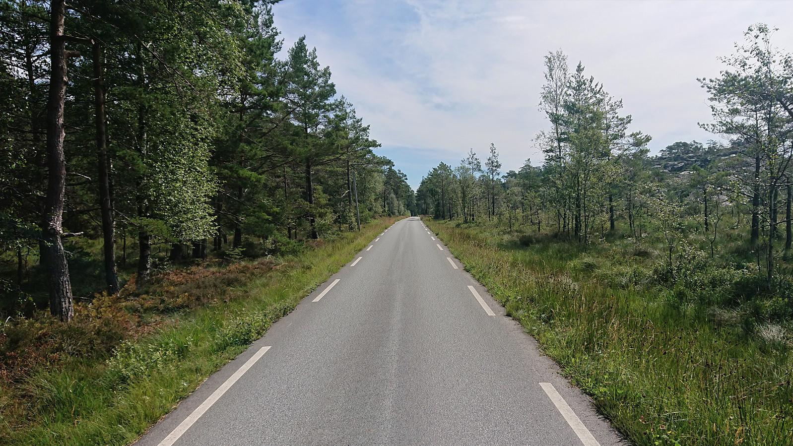
After 40 minutes waiting for the ferry, and 35 minutes on the ferry itself, I was finally ready for the last stage of my long trip, i.e. cycling the 40 km home from Halhjem, making it home just as the sun was setting.
In summary, an excellent but long trip that can be highly recommended. But in case you are not very eager on cycling muddy trails, I would suggest leaving the bike behind when the road ends at Korsneset and continue from there on foot to Skjønhammaren.
| Startzeitpunkt | 31.07.2020 10:15 (UTC+01:00 SZ) |
| Endzeitpunkt | 31.07.2020 22:22 (UTC+01:00 SZ) |
| Gesamtzeit | 12h 07min |
| Zeit in Bewegung | 10h 16min |
| Pausenzeit | 1h 50min |
| Gesamtschnitt | 10,2km/h |
| Bewegungsschnitt | 12,0km/h |
| Entfernung | 123,8km |
| Höhenmeter | 2.277m |
Note that the GPS track also includes the ferry rides. Subtract approximately 17 km to get the actual cycling distance.


Benutzerkommentare