
Sauafjellet from Hausdalen (29.10.2017)

Geschrieben von hbar (Harald Barsnes)

| Startpunkt | Hausdalen snuplass (93m) |
|---|---|
| Endpunkt | Hausdalen snuplass (93m) |
| Tourcharakter | Bergtour |
| Tourlänge | 4h 20min |
| Entfernung | 14,2km |
| Höhenmeter | 654m |
| GPS |
|
| Besteigungen | Sauafjellet (538m) | 29.10.2017 |
|---|---|---|
| Besuche anderer PBE | Hausdalen parkering (94m) | 29.10.2017 |
| Høyde ved Brekkesetret (405m) | 29.10.2017 |
Sauafjellet from Hausdalen
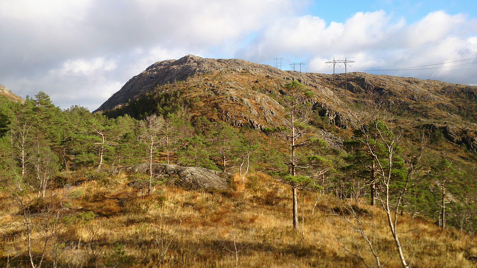

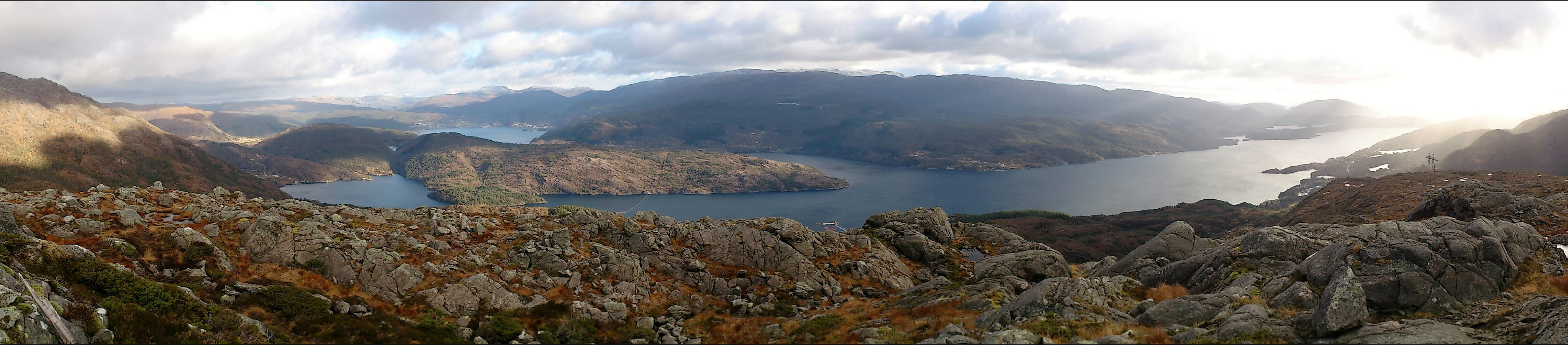
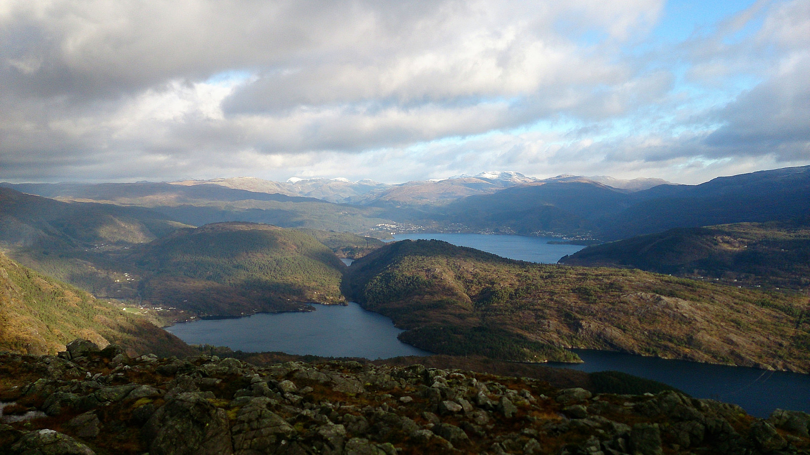
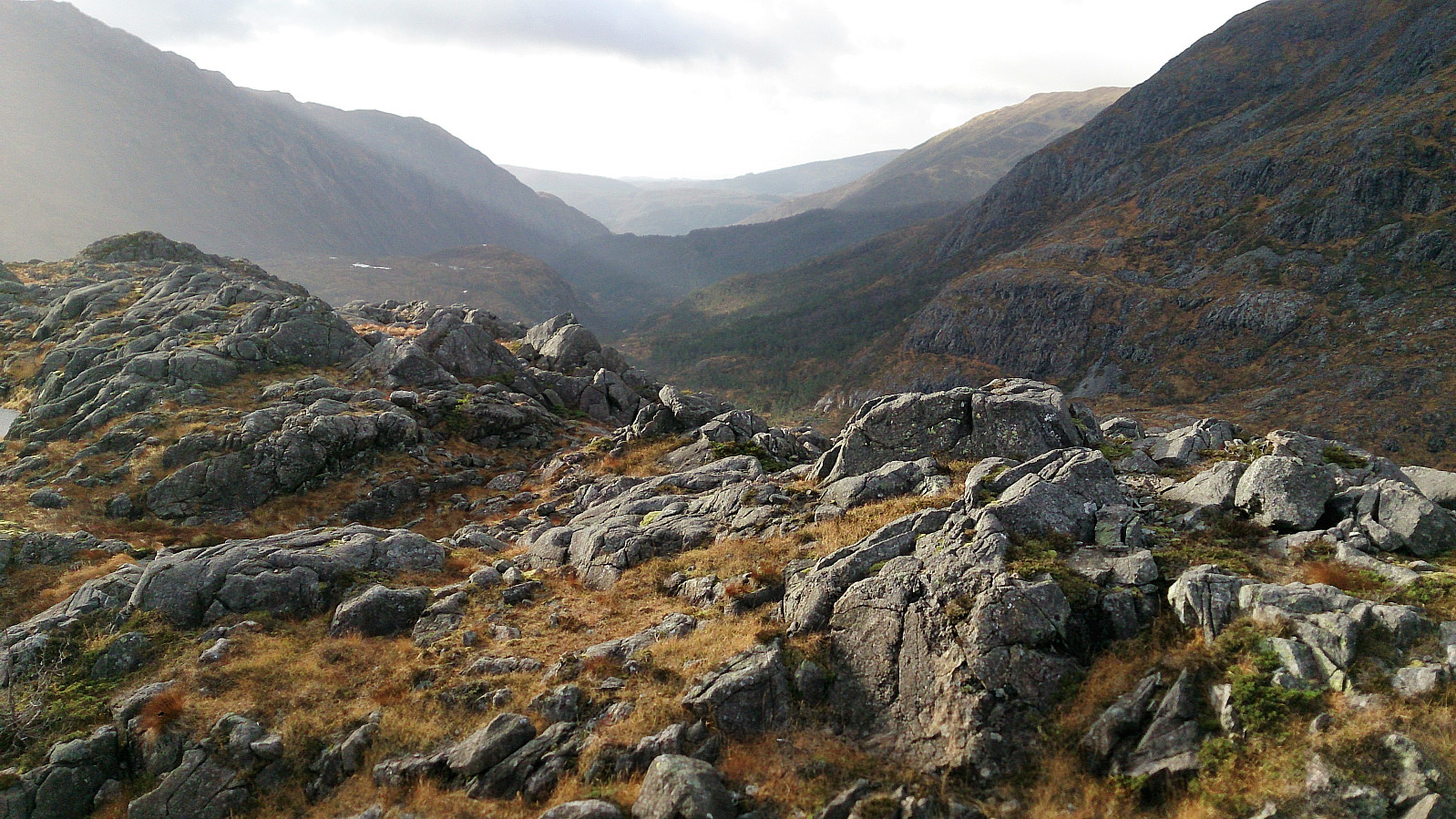
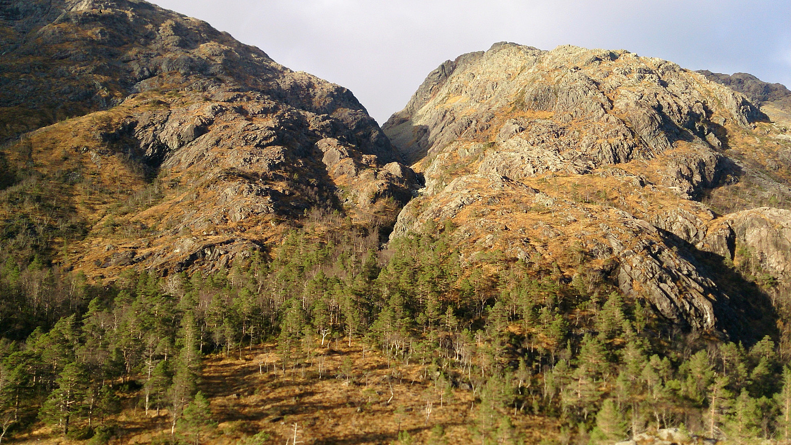
Started from the parking lot at Hausdalen and followed the gravel road up to Stora Brekkevatnet. Here we started looking for a trail towards Sauafjellet. We did not find any clear trailhead, but shortly after leaving the gravel road we came across a trail that was even sometimes marked with white ribbons and numerous small cairns. The trail got rather weak at times, and we lost it on several occasions, but the terrain made it easy to make progress towards the summit even without the trail.
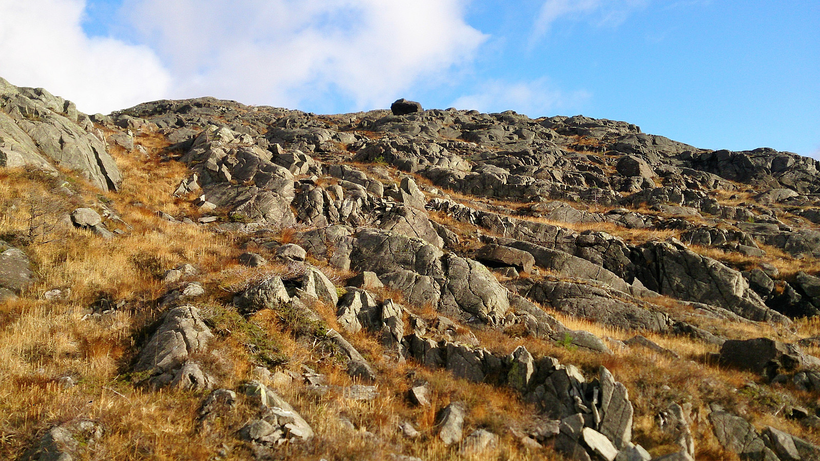
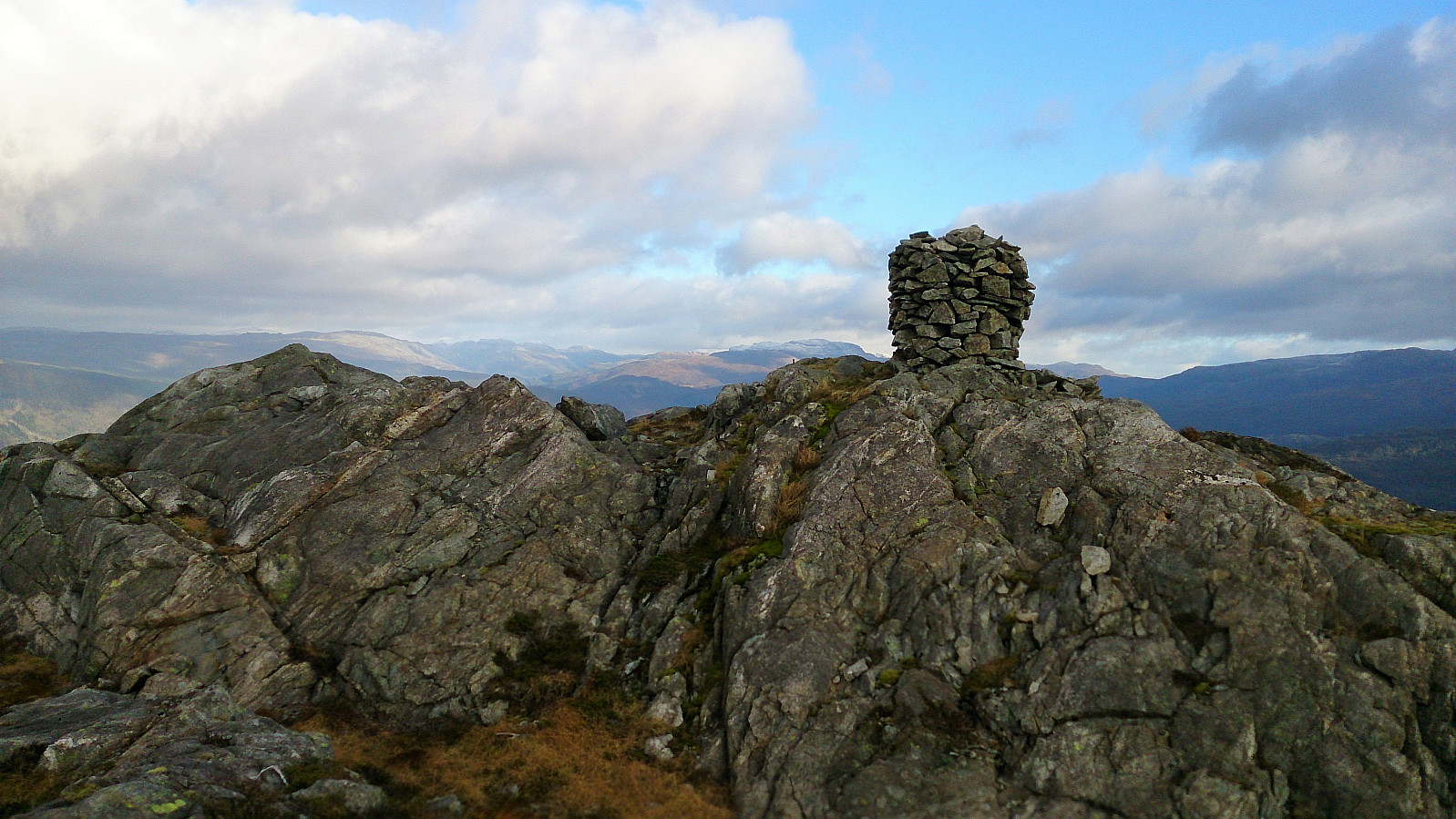
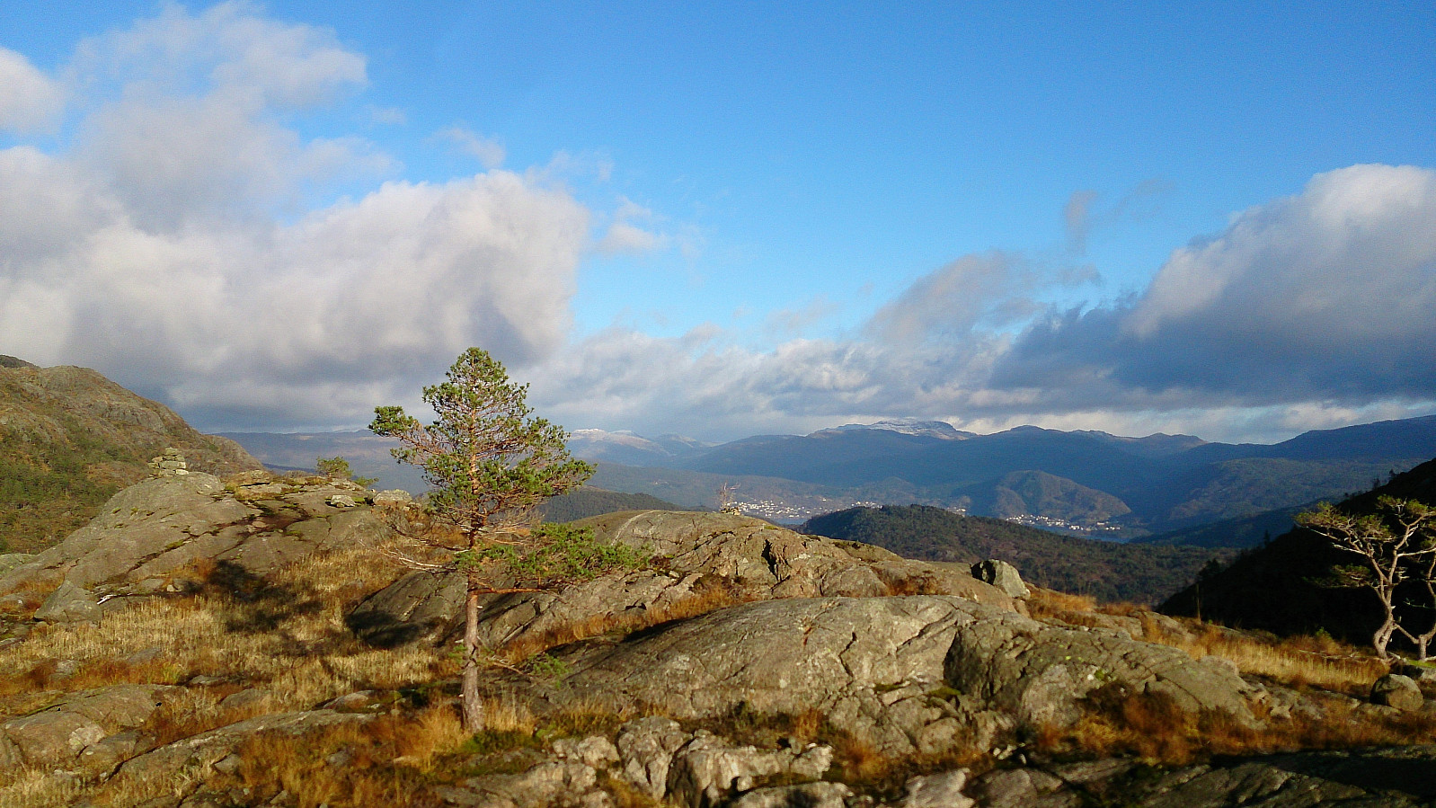
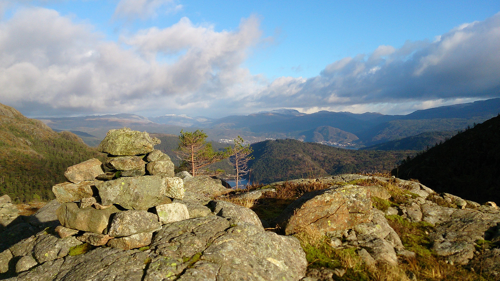
The summit itself was hidden when ascending, hence when we thought we had reached the summit we had only reached the smaller hill southwest of the summit, and only here did we see the large cairn. At the cairn the views were spectacular in all directions. Highly recommended! However, we did not stay too long as the wind was gathering speed, so much that standing upright was getting difficult without leaning into the wind. We also had snow and later hail, which when combined with the strong winds, added to the overall outdoor experience.
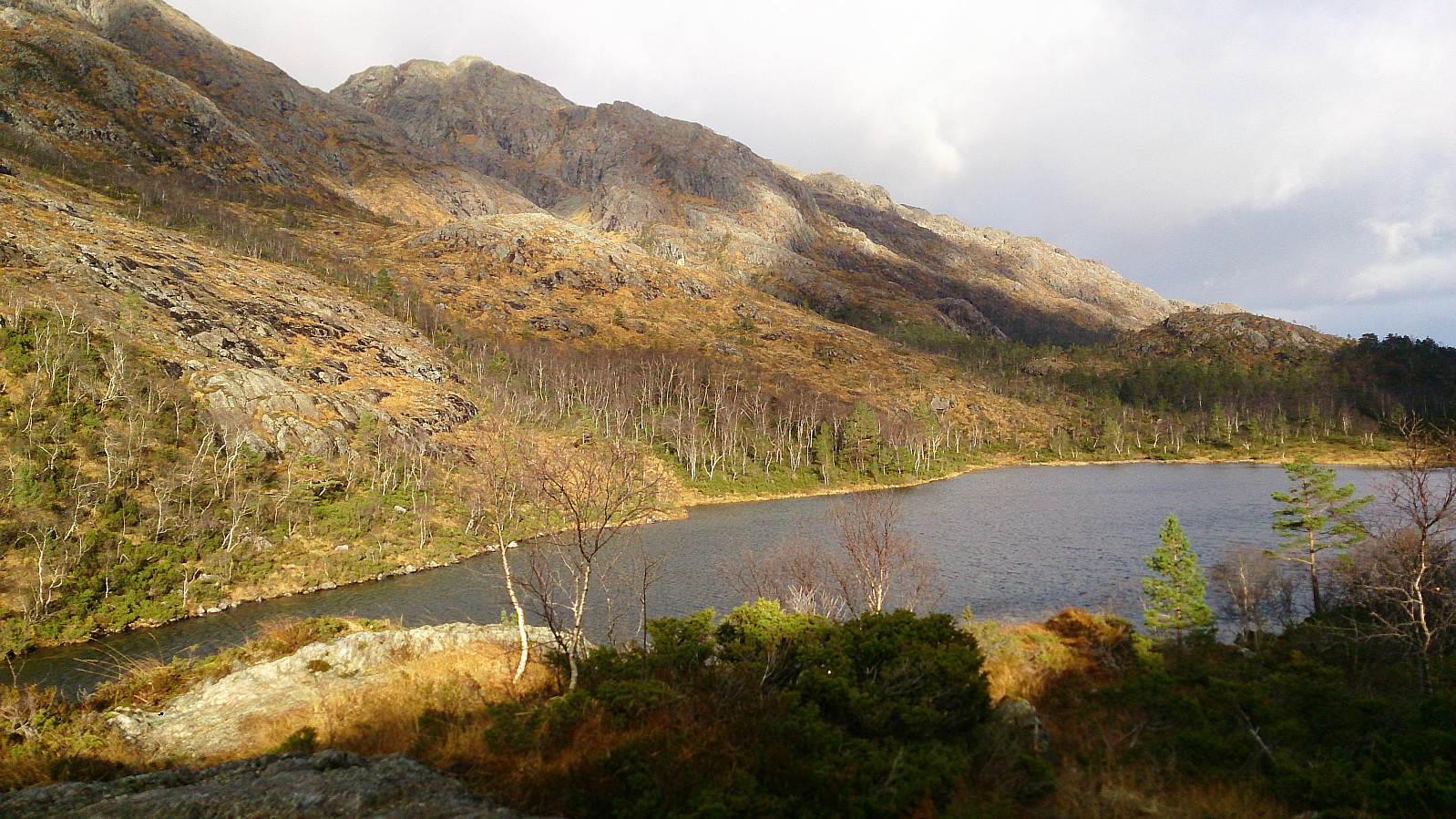
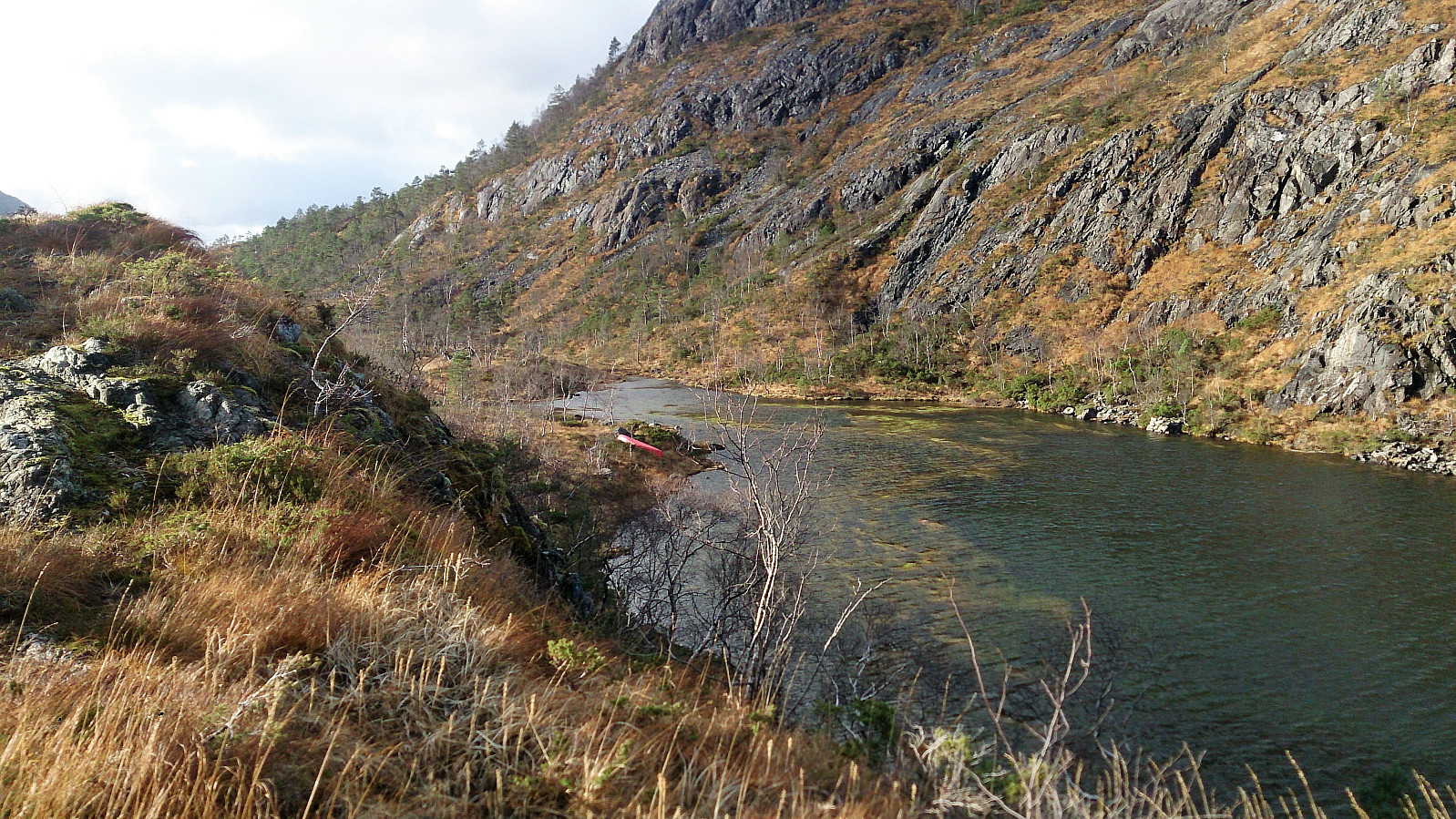
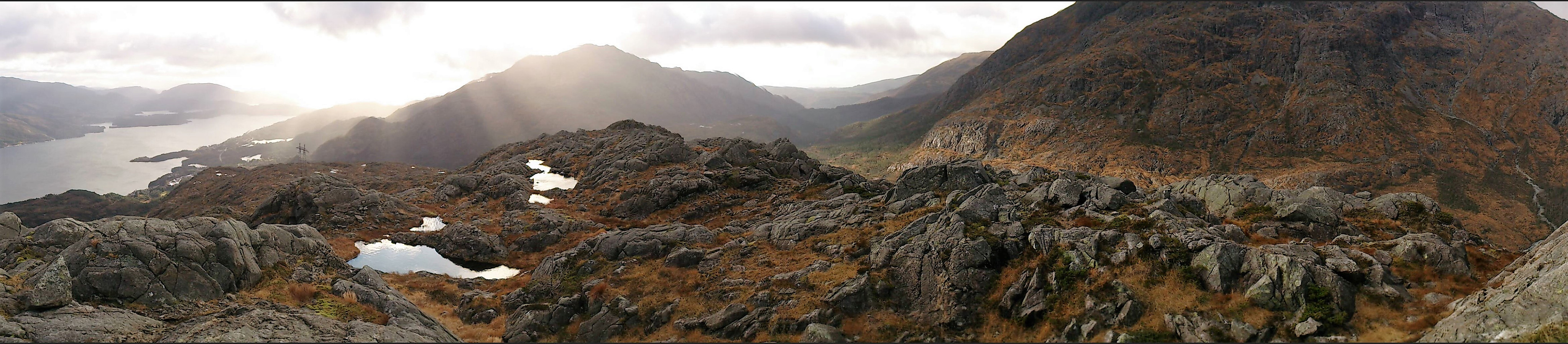
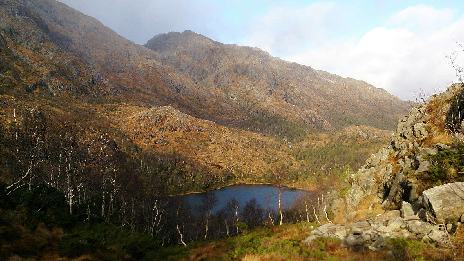
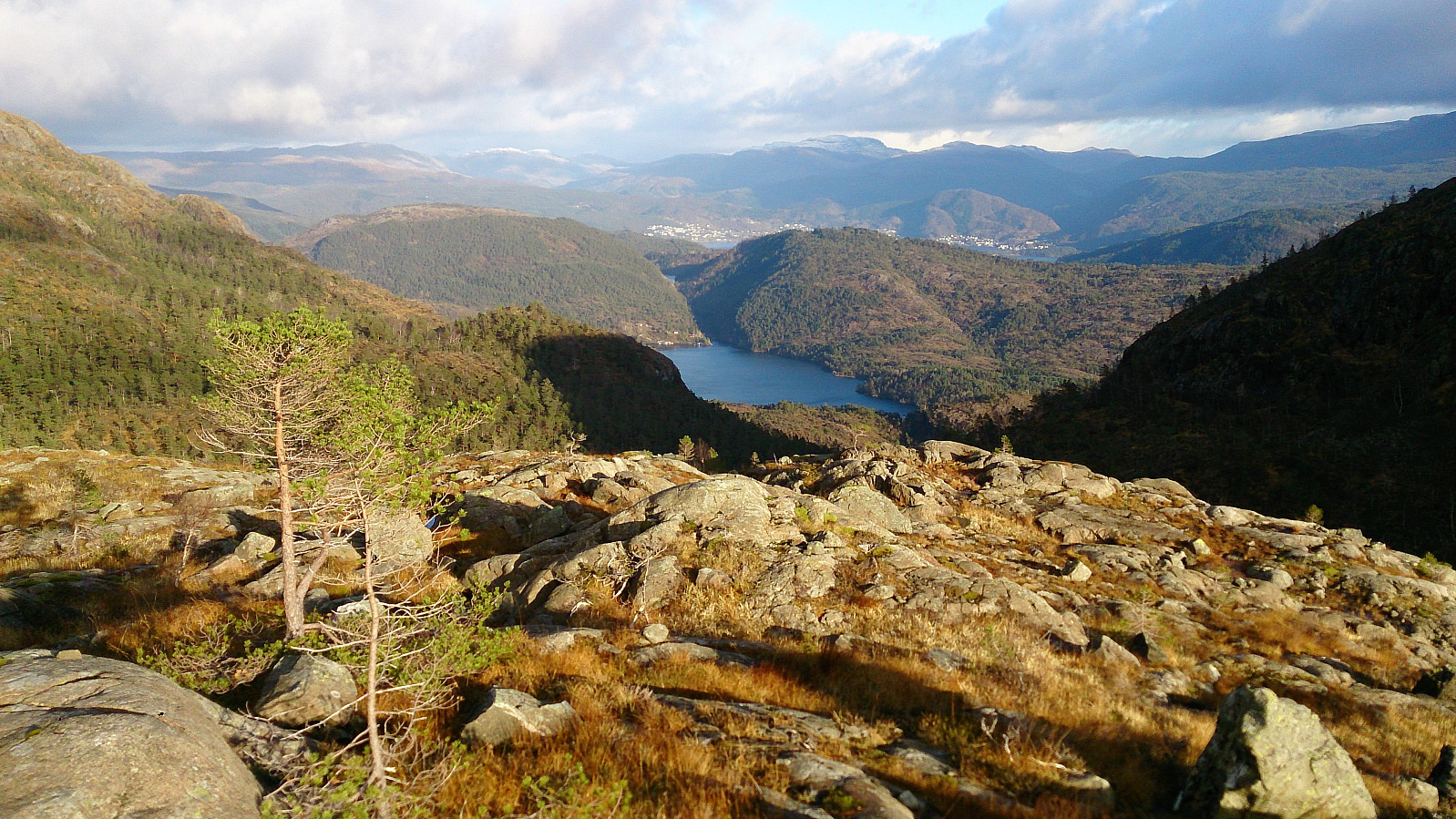
From the summit we followed more or less the same route back down to Stora Brekkevatnet, from where we made a quick visit to the small hill northeast of the lake. This nameless hill provided nice views down Brekkekleiva and was a good spot for planning future hikes up Purkedalsgjelet, and even had its own small cairn.
The hike was concluded by heading back to the gravel road and following it all the way back to the car. All in all, an excellent hike that can be highly recommended!

| Startzeitpunkt | 29.10.2017 11:26 (UTC+01:00) |
| Endzeitpunkt | 29.10.2017 15:47 (UTC+01:00) |
| Gesamtzeit | 4h 20min |
| Zeit in Bewegung | 4h 00min |
| Pausenzeit | 0h 20min |
| Gesamtschnitt | 3,3km/h |
| Bewegungsschnitt | 3,6km/h |
| Entfernung | 14,2km |
| Höhenmeter | 654m |


Benutzerkommentare