
Søre Gråbrørne (01.08.2017)

Geschrieben von hbar (Harald Barsnes)

| Startpunkt | Amlaholten parkering (239m) |
|---|---|
| Endpunkt | Amlaholten parkering (234m) |
| Tourcharakter | Bergtour |
| Tourlänge | 3h 06min |
| Entfernung | 11,7km |
| Höhenmeter | 548m |
| GPS |
|
| Besteigungen | Søre Gråbrørne (737m) | 01.08.2017 |
|---|---|---|
| Besuche anderer PBE | Amlaholten parkering (238m) | 01.08.2017 |
Søre Gråbrørne
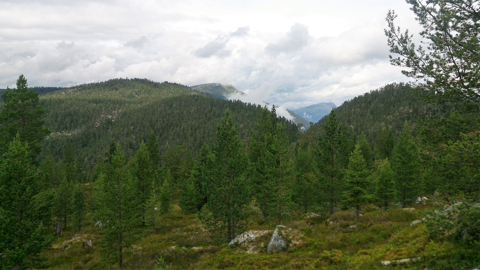
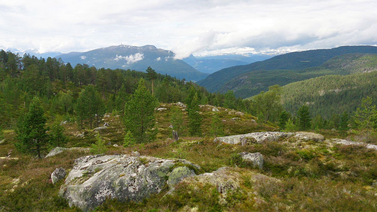
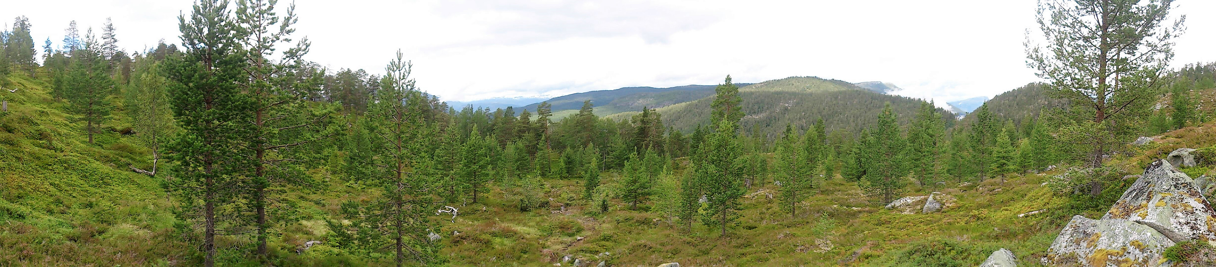
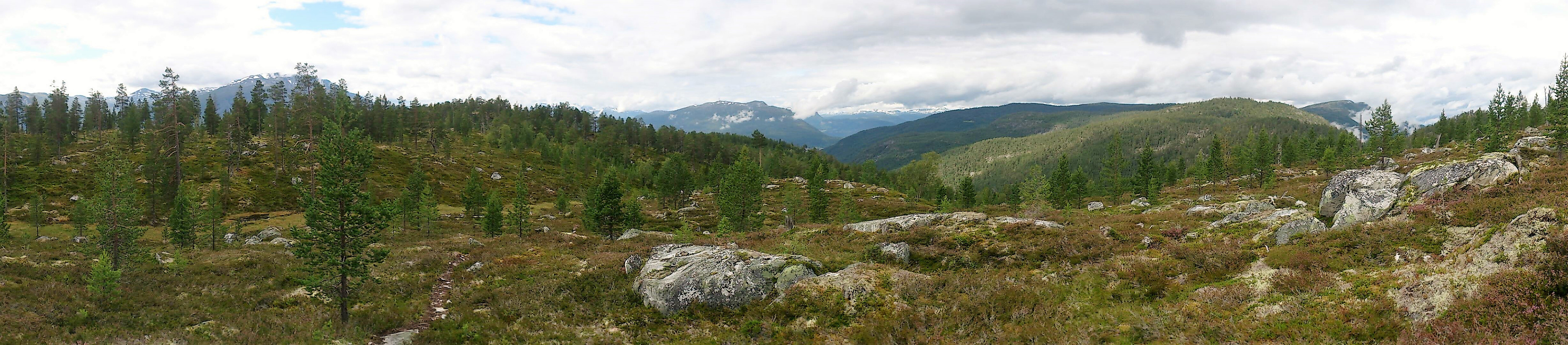
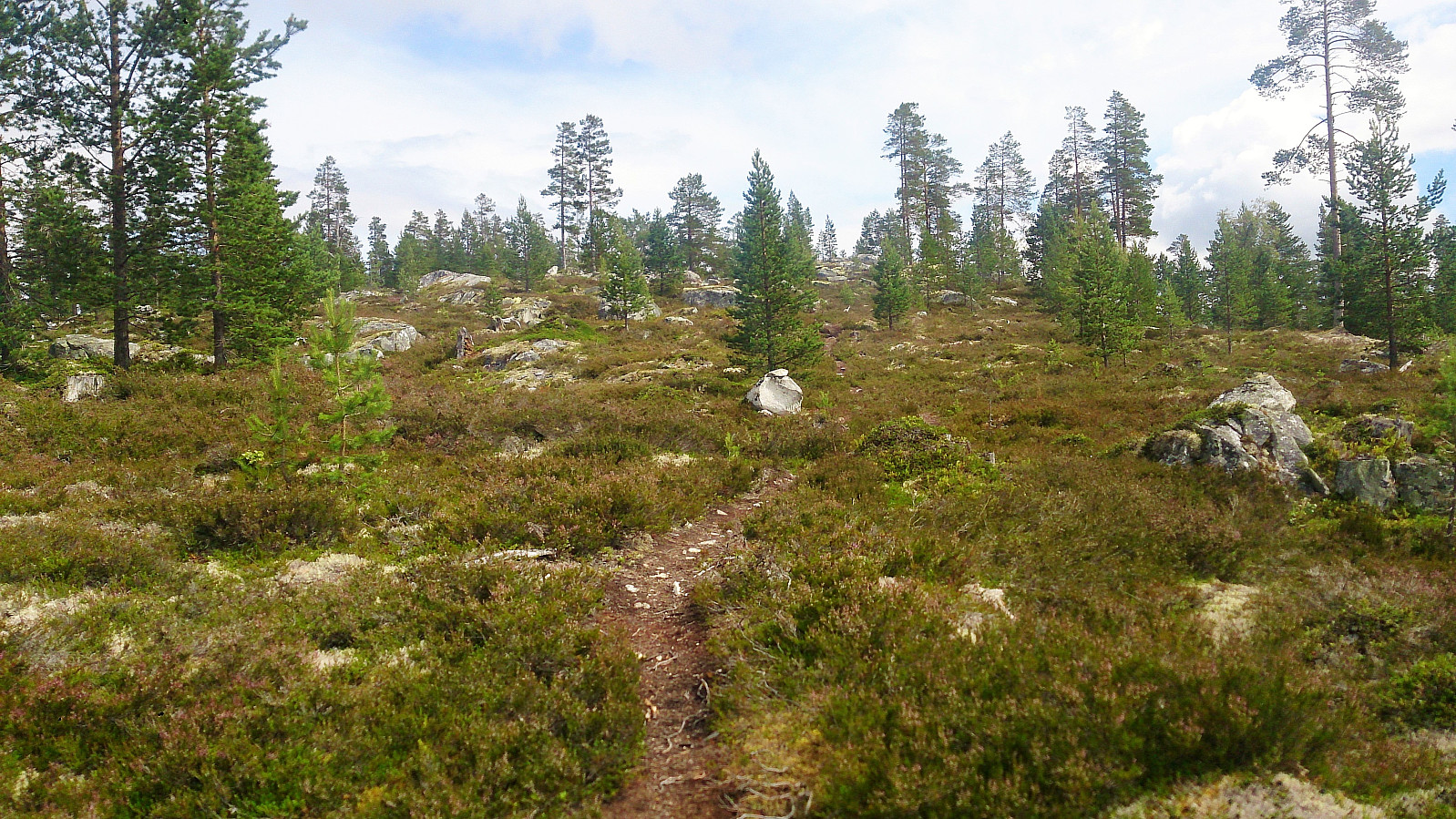
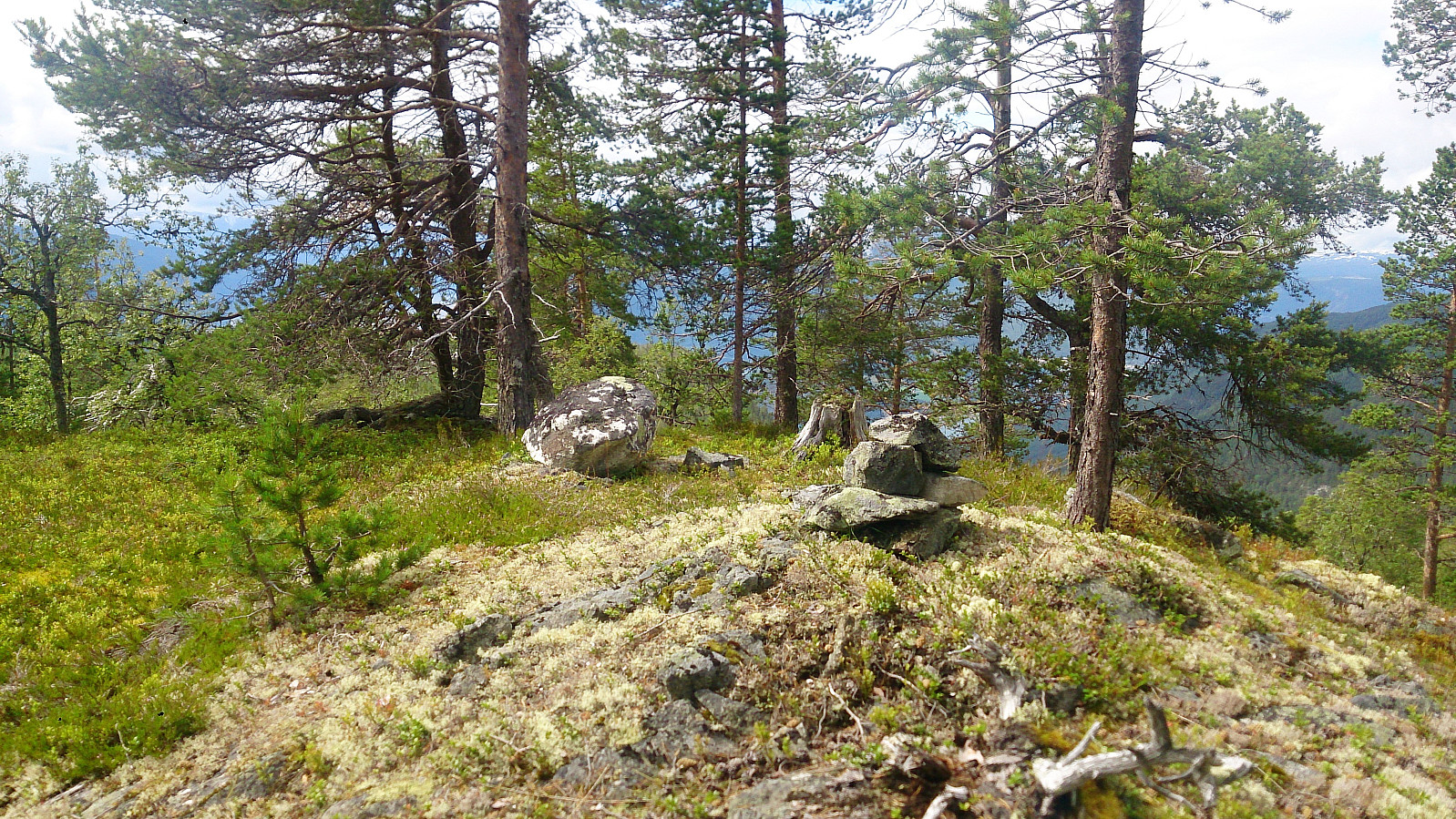
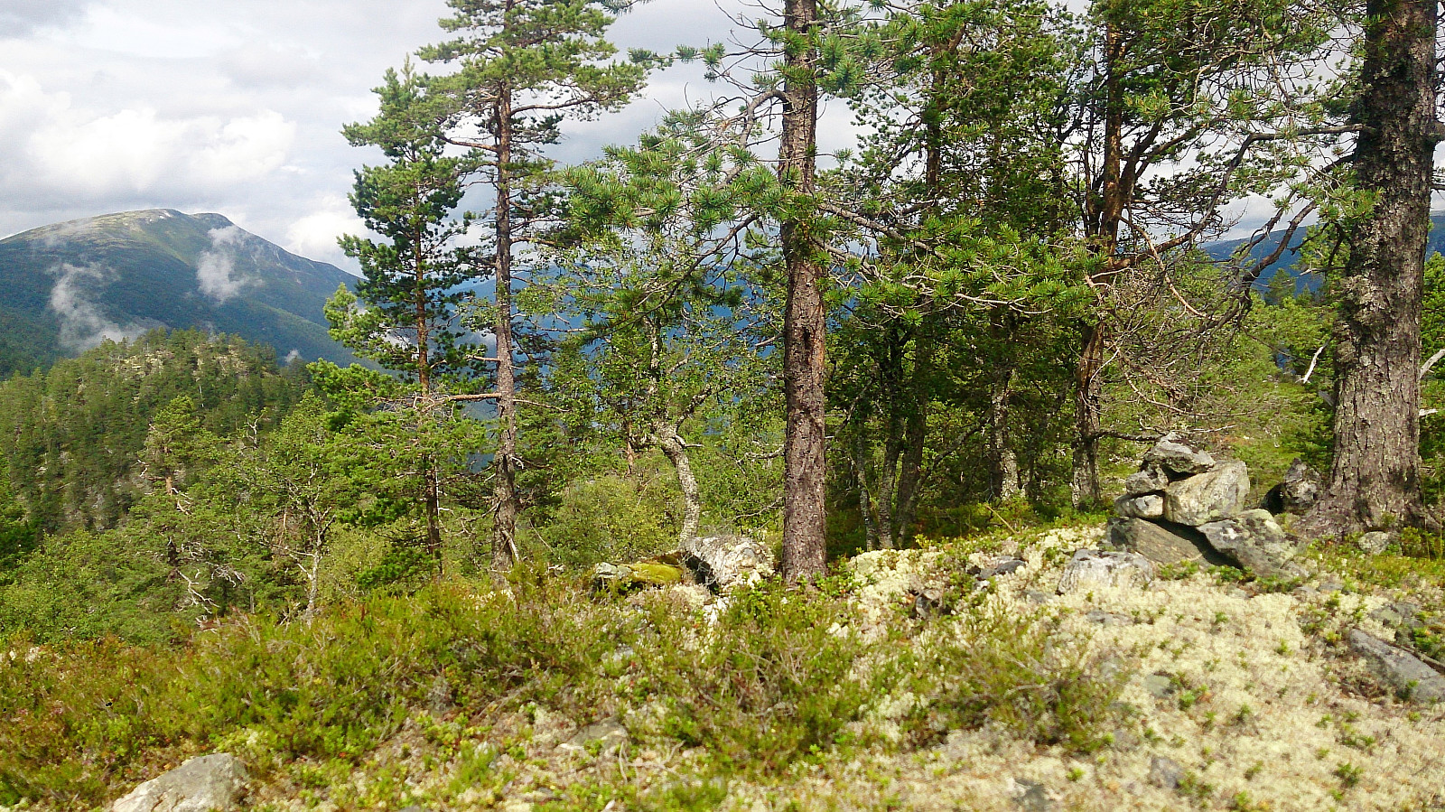
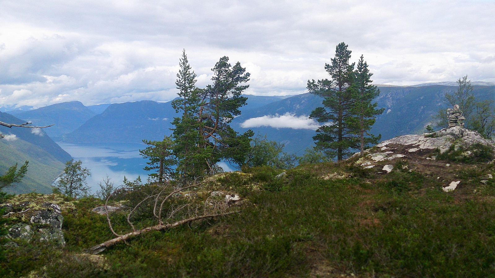
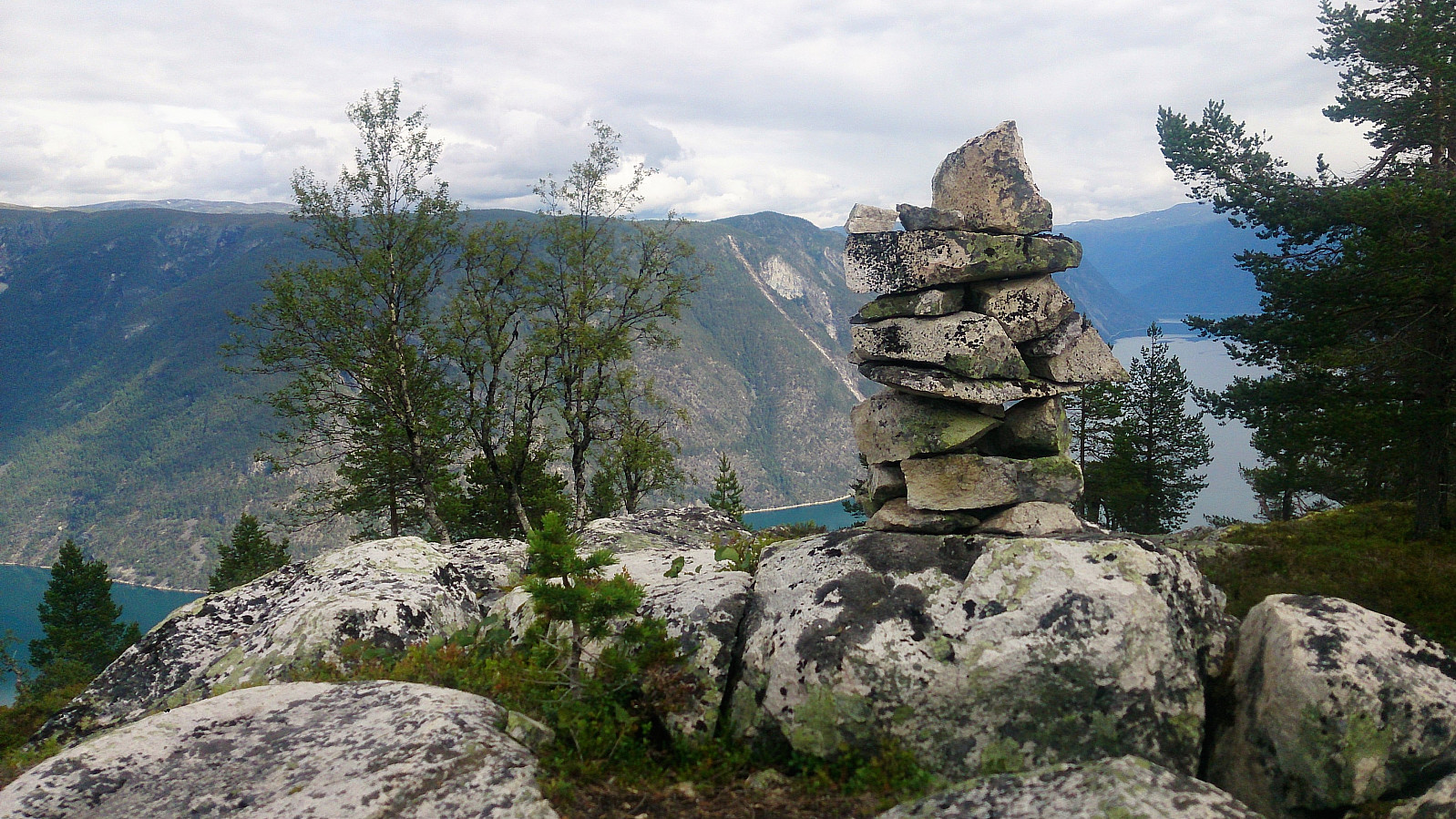
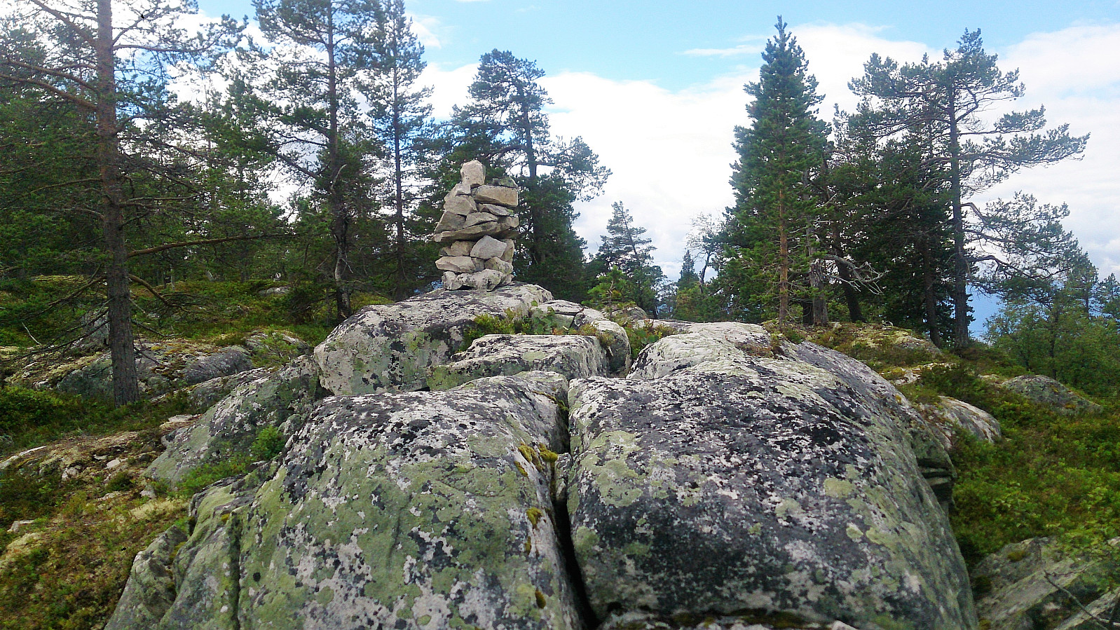
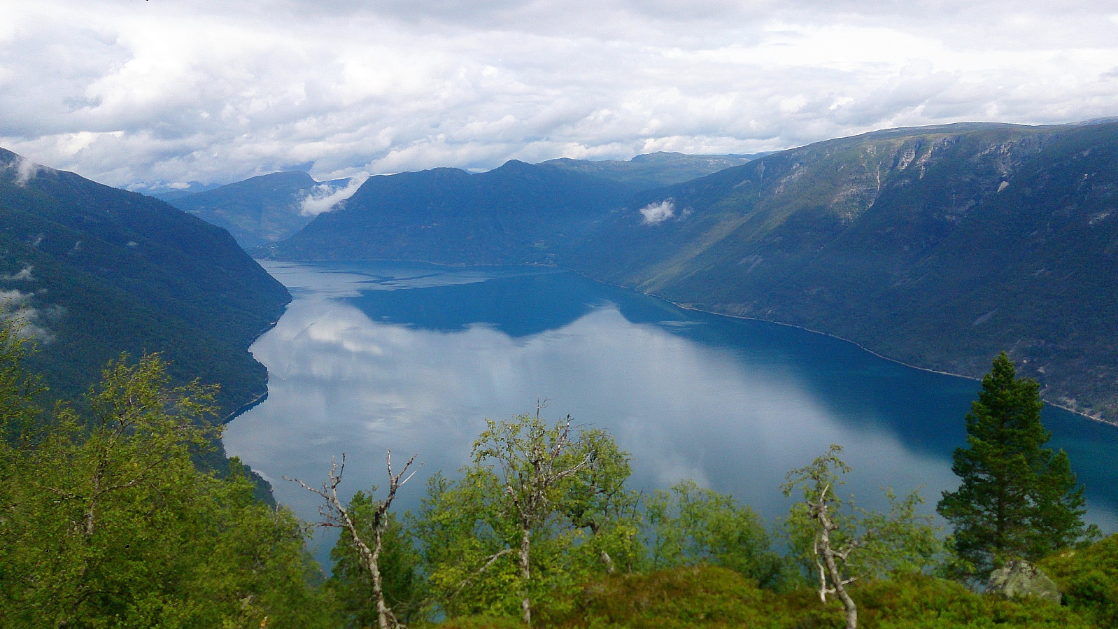
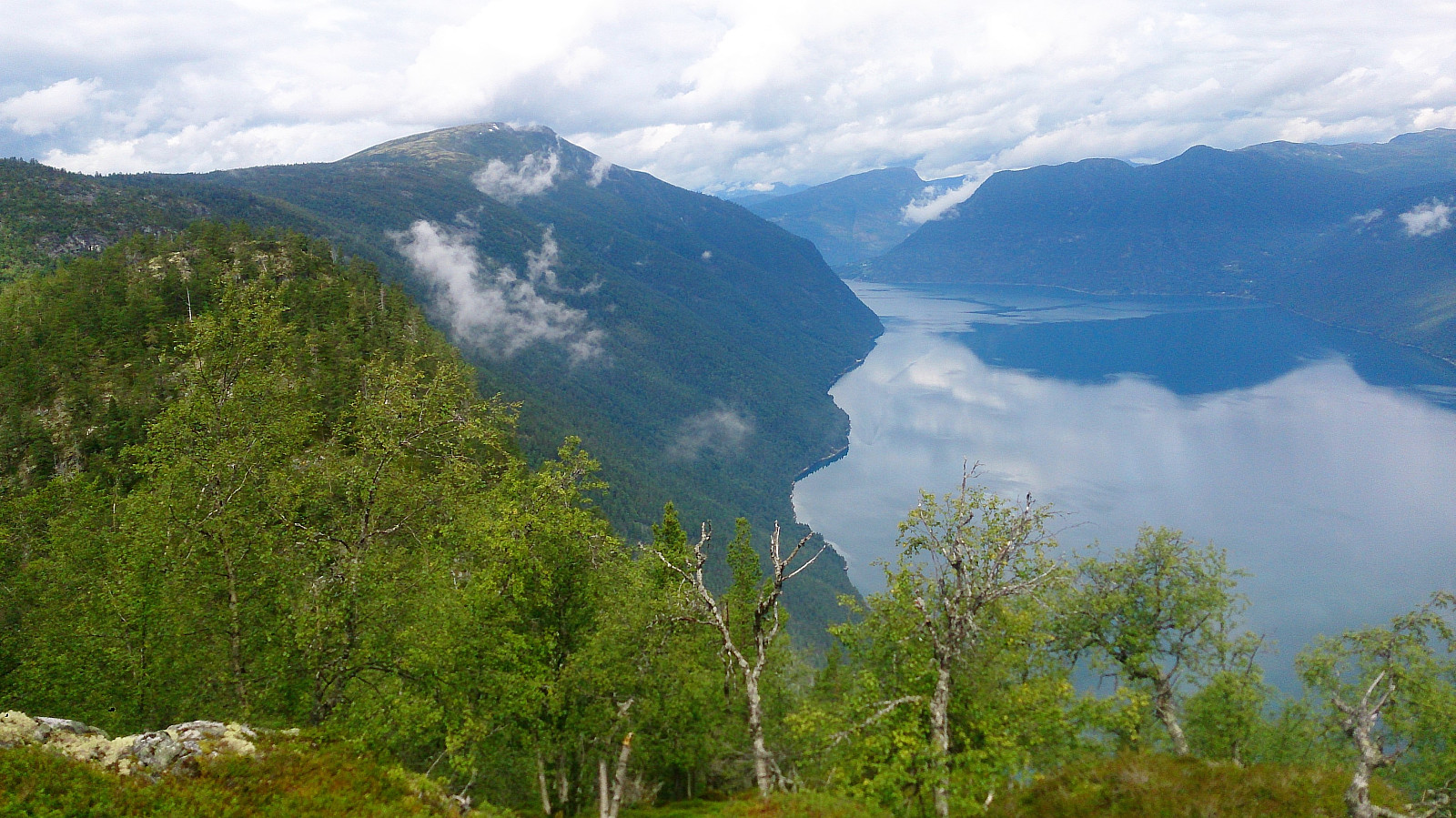
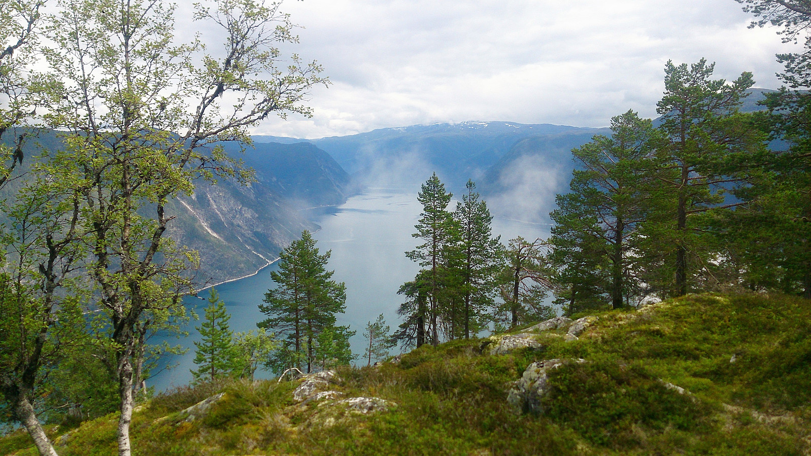
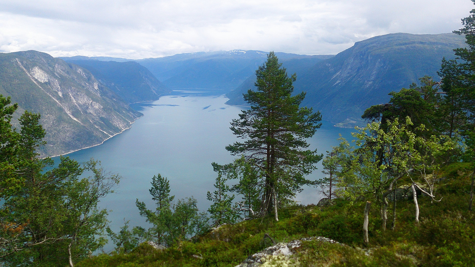
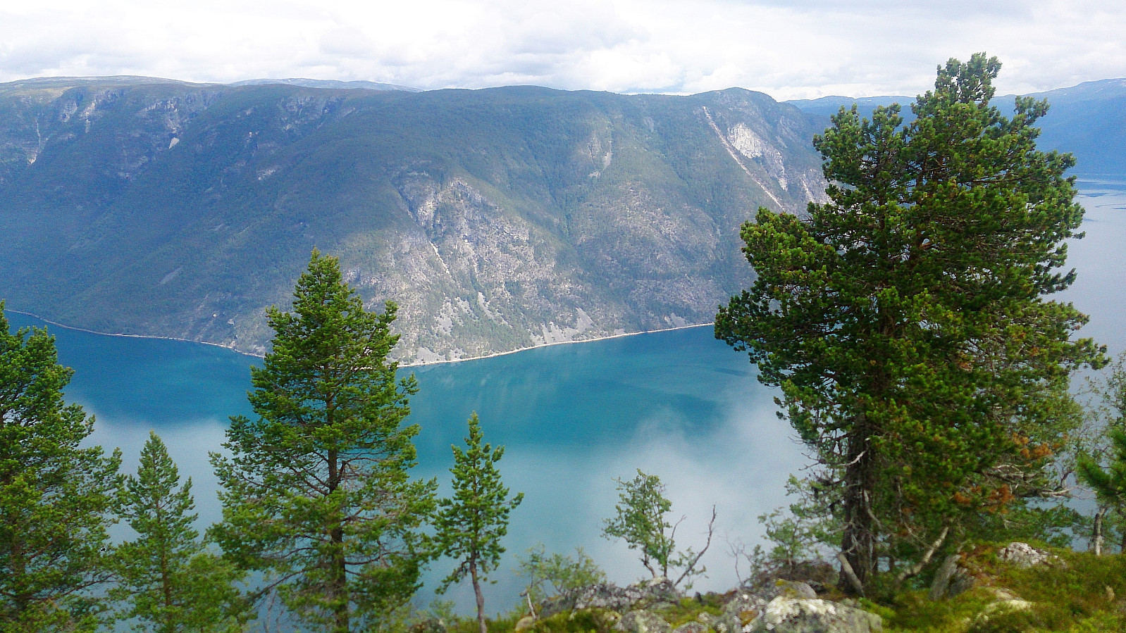
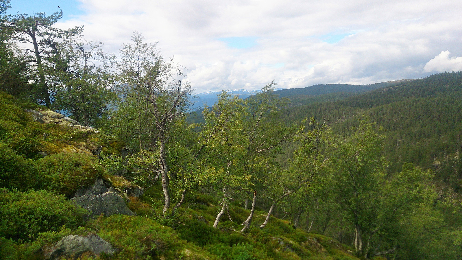
We started from the Amlaholten parking lot and from there followed the marked gravel road to Svartahol, before continuing on trails towards Søre Gråbrørne. The trails did not completely match what was indicated on the map, but it was fairly easy to arrive at the gravel road going over Turrlifjellet. We crossed the gravel road and continued on the unmarked trail towards Søre Gråbrørne. The summit itself provided limited views, but by continuing north along the trail we arrived at a cairn for some truly spectacular views! From the cairn we doubled back to the gravel road, which we then followed around Turrlifjellet until reconnecting with the first gravel road at Svartaholsbakkane and finally back to the parking lot.
Overall, a great hike with spectacular views that can be highly recommended!

| Startzeitpunkt | 02.08.2017 11:23 (UTC+01:00 SZ) |
| Endzeitpunkt | 02.08.2017 14:30 (UTC+01:00 SZ) |
| Gesamtzeit | 3h 06min |
| Zeit in Bewegung | 2h 52min |
| Pausenzeit | 0h 13min |
| Gesamtschnitt | 3,8km/h |
| Bewegungsschnitt | 4,1km/h |
| Entfernung | 11,7km |
| Höhenmeter | 547m |


Benutzerkommentare