
Hamrefjellet, Vardane and Torneberget (26.02.2017)

Geschrieben von hbar (Harald Barsnes)

| Startpunkt | Vallaheiane (150m) |
|---|---|
| Endpunkt | Nesttun terminal (21m) |
| Tourcharakter | Bergtour |
| Tourlänge | 3h 05min |
| Entfernung | 9,2km |
| Höhenmeter | 299m |
| GPS |
|
| Besteigungen | Hamrefjellet (280m) | 26.02.2017 |
|---|---|---|
| Torneberget (235m) | 26.02.2017 | |
| Vardane (259m) | 26.02.2017 | |
| Besuche anderer PBE | Appelsinbenken, Hamrenipa (250m) | 26.02.2017 |
| Klyftasteinane (271m) | 26.02.2017 |
Hamrefjellet, Vardane and Torneberget
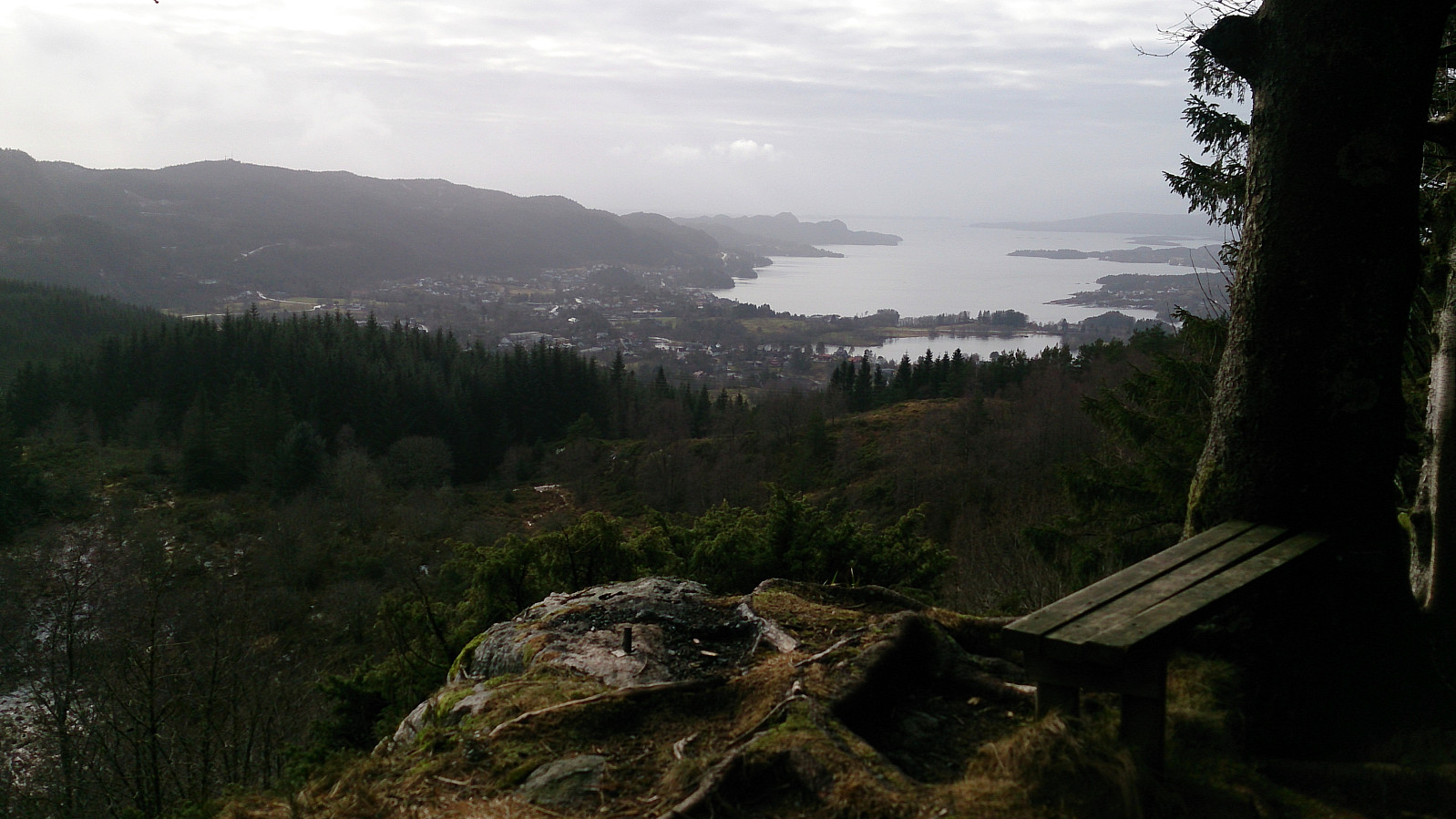
The trip started by talking the bus to Vallaheiene where I quickly located the signs for Smøråsfjellet. Not too difficult to locate the right trail, but the trail itself was a bad combination of ice and mud. The top of Hamrefjellet provided only limited views, so I decided to continue to a viewpoint called the "Orange Bench" ("Appelsinbenken" in Norwegian), which turned out to be a significant upgrade with nice views across Fanafjorden.
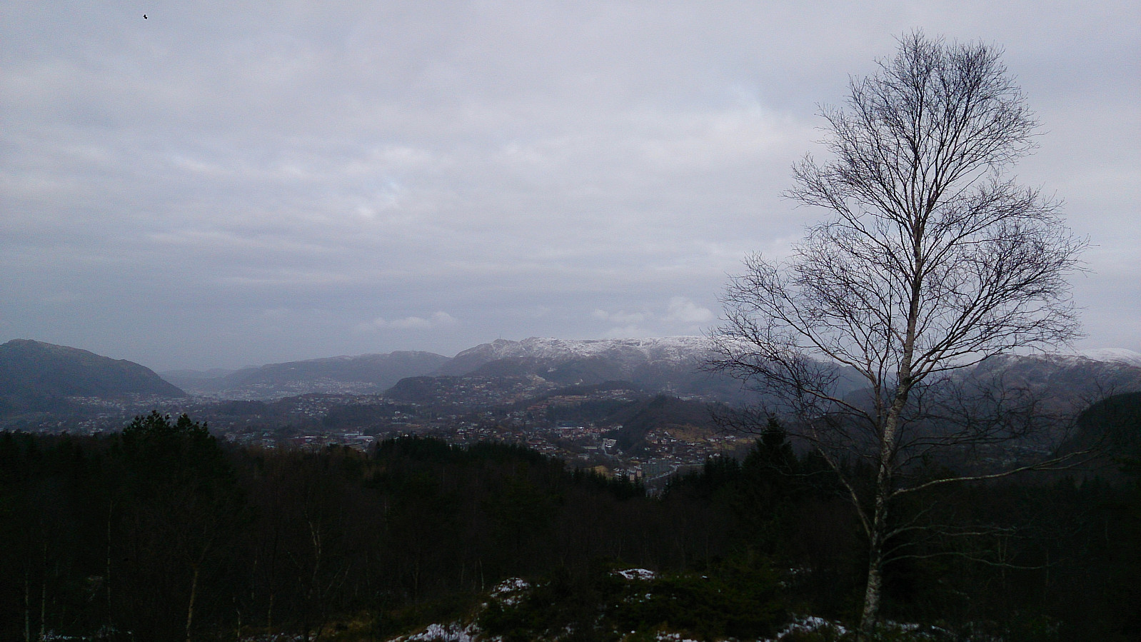
I returned to the main trail around Bjørnevatnet and then took a detour to pass by the two smaller summits of Vardane and Torneberget. The former had nice views, while the latter views left a lot to be desired. The hike was then completed by walking down to Litle Tveiten and from there back to Nesttun Terminal for the tram back to the city center.

| Startzeitpunkt | 26.02.2017 12:14 (UTC+01:00) |
| Endzeitpunkt | 26.02.2017 15:19 (UTC+01:00) |
| Gesamtzeit | 3h 05min |
| Zeit in Bewegung | 2h 46min |
| Pausenzeit | 0h 19min |
| Gesamtschnitt | 3,0km/h |
| Bewegungsschnitt | 3,3km/h |
| Entfernung | 9,2km |
| Höhenmeter | 299m |


Benutzerkommentare