Eyjan i Åsbyrgi (07.08.2018)


Tourlänge 0h 55min
Entfernung 4,6km
Höhenmeter 104m
GPS
Besteigungen Eyjan i Ásbyrgi (82m) 07.08.2018

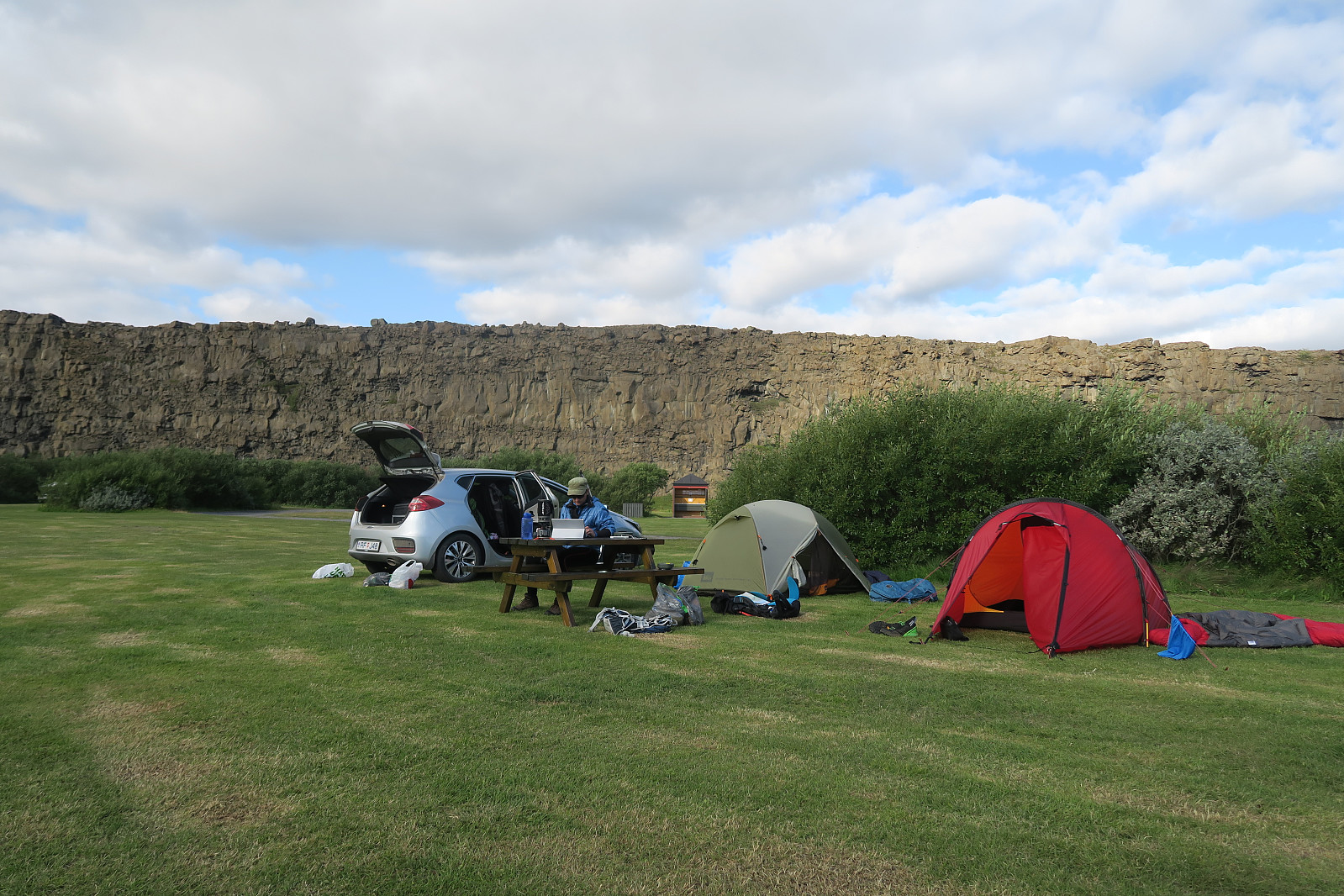
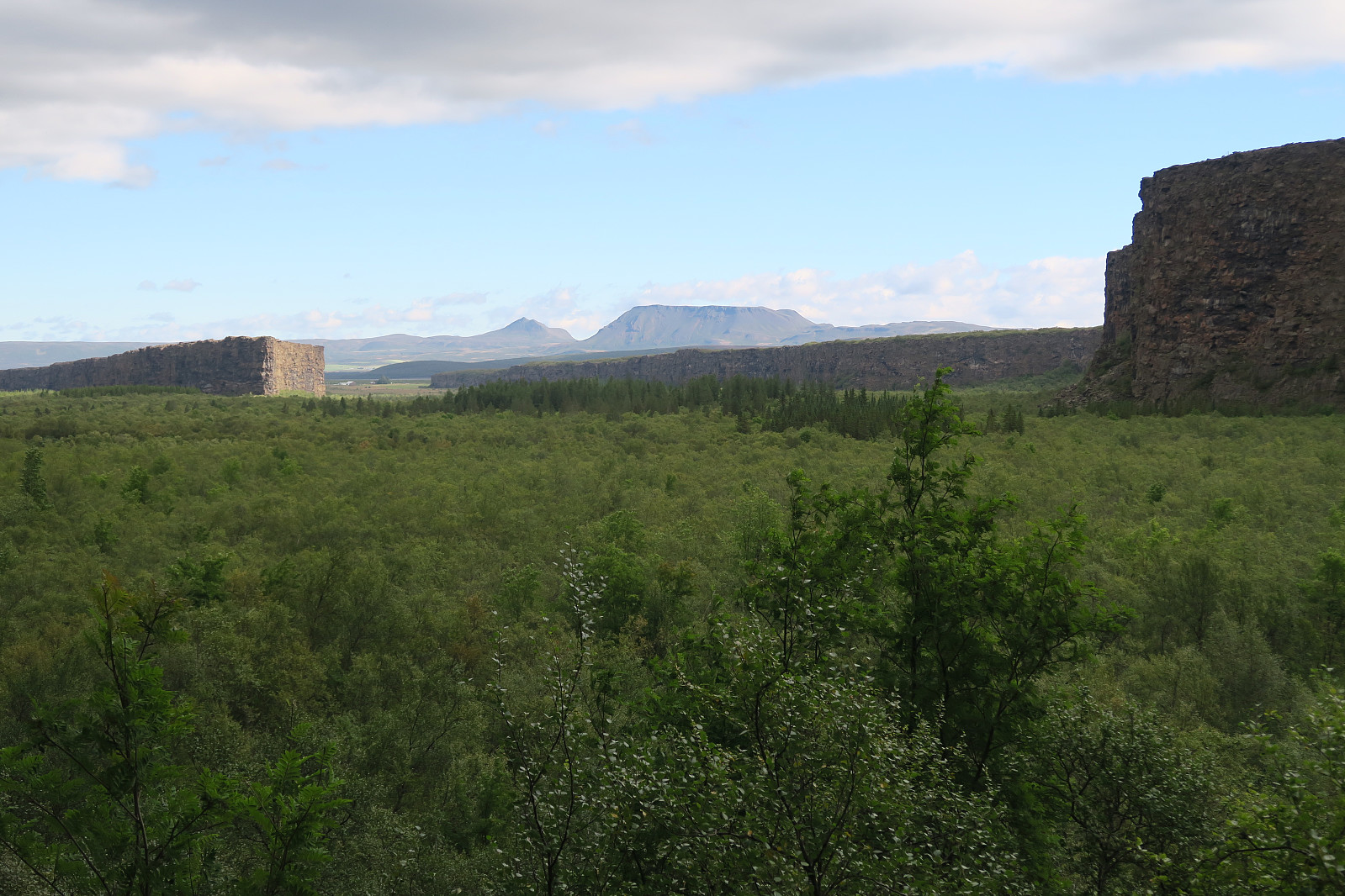
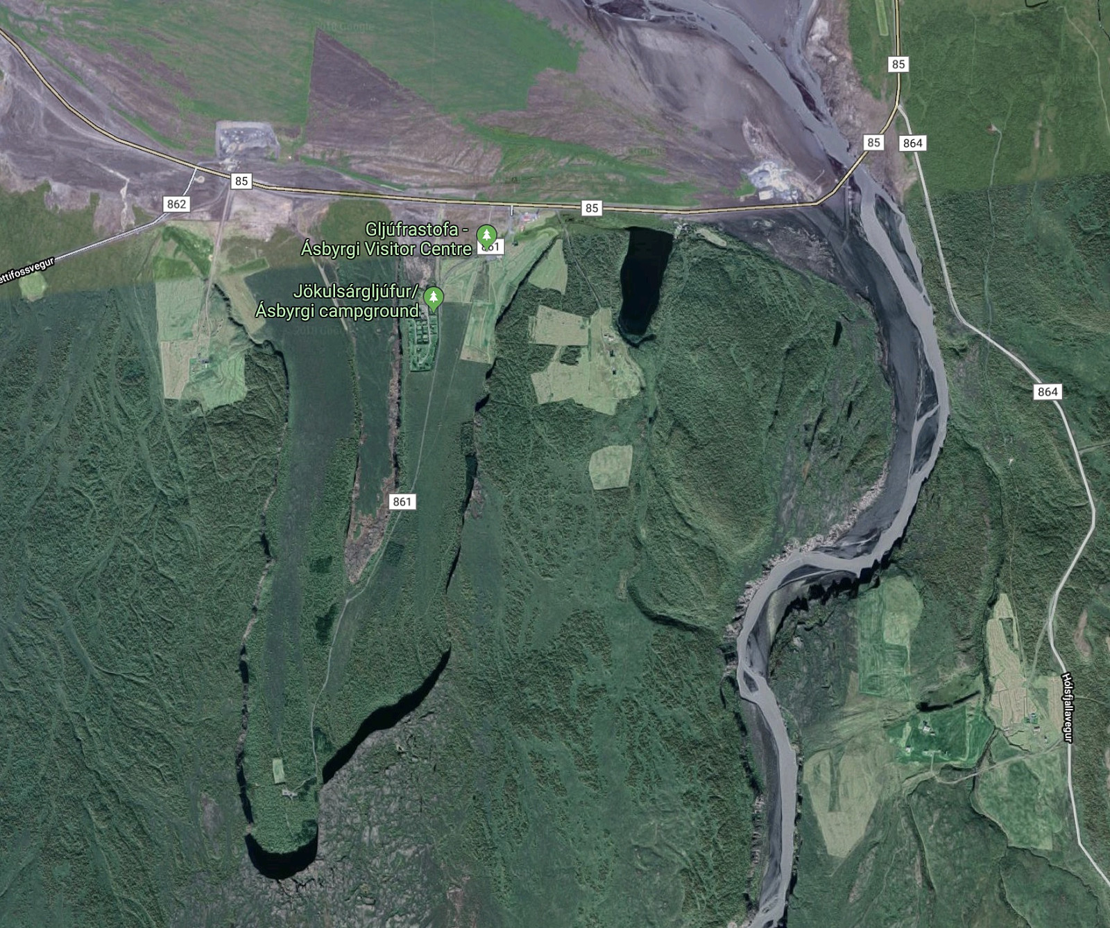
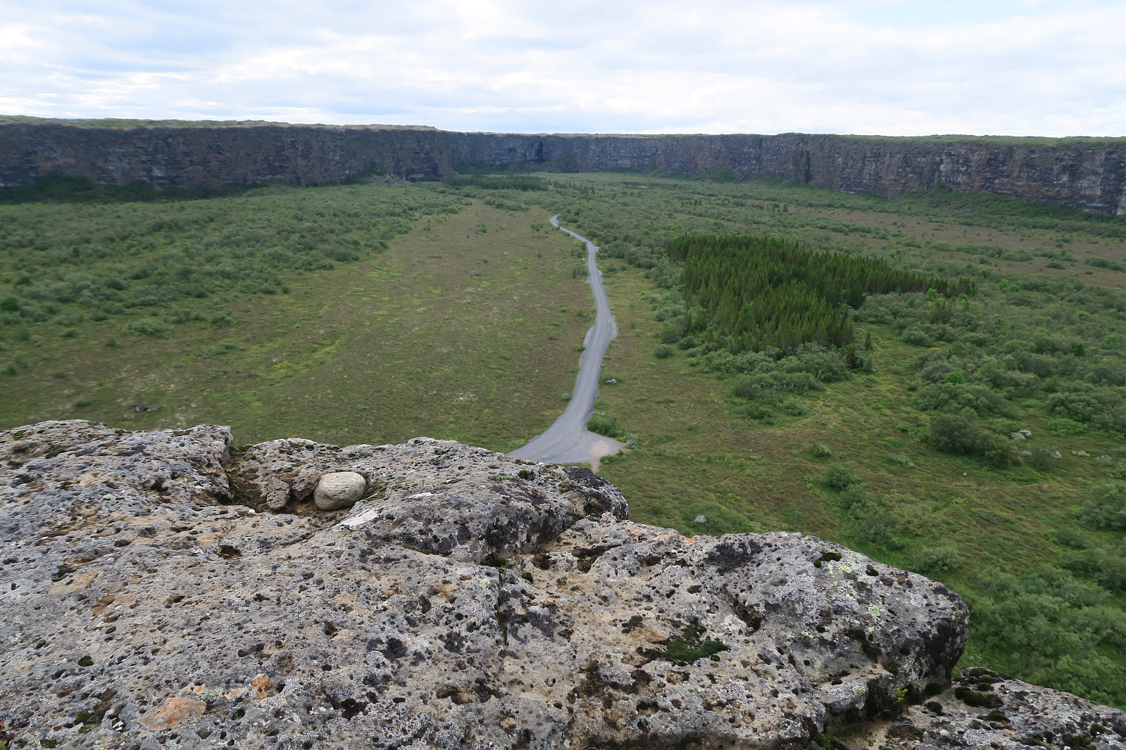
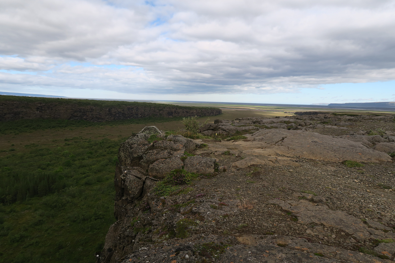
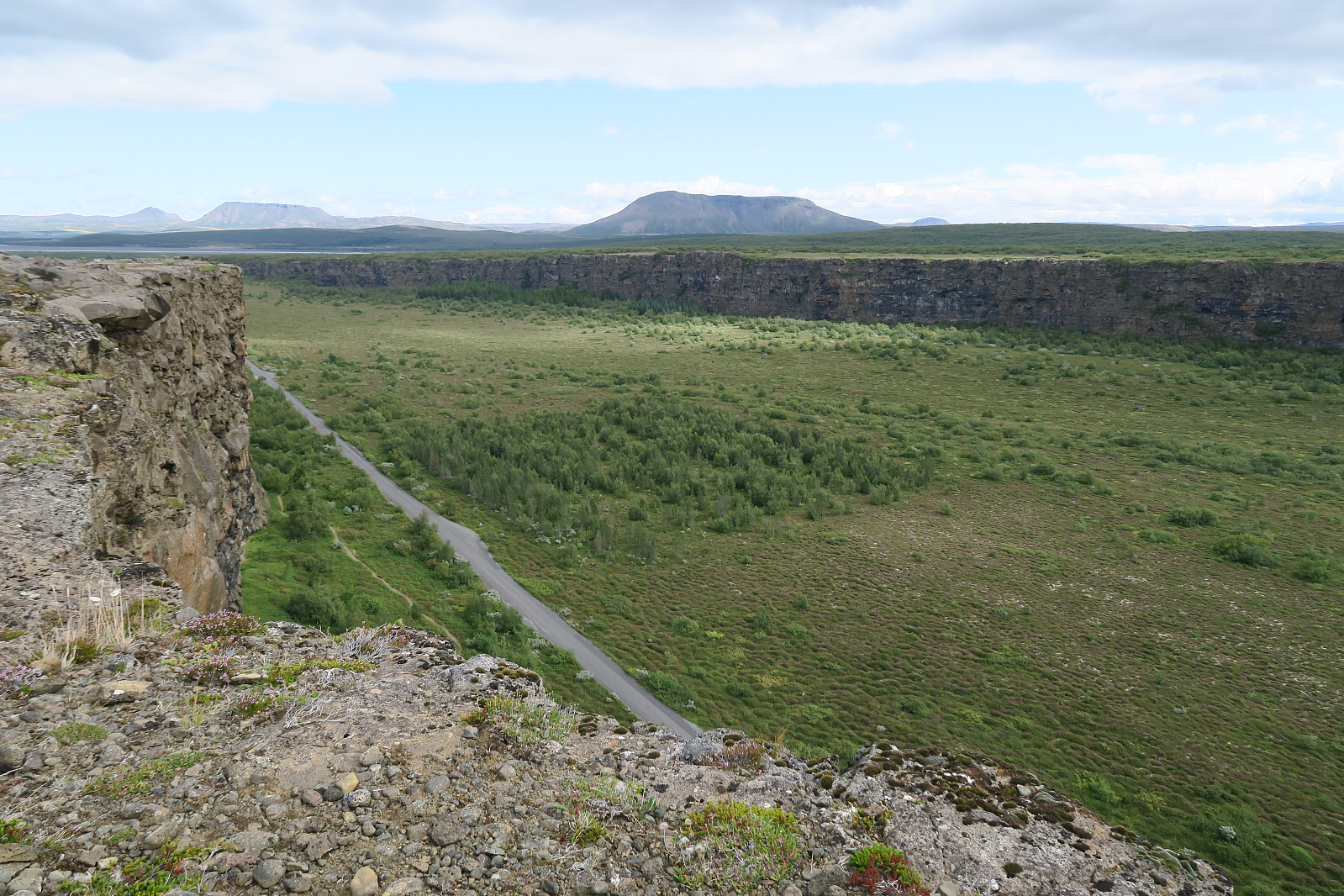
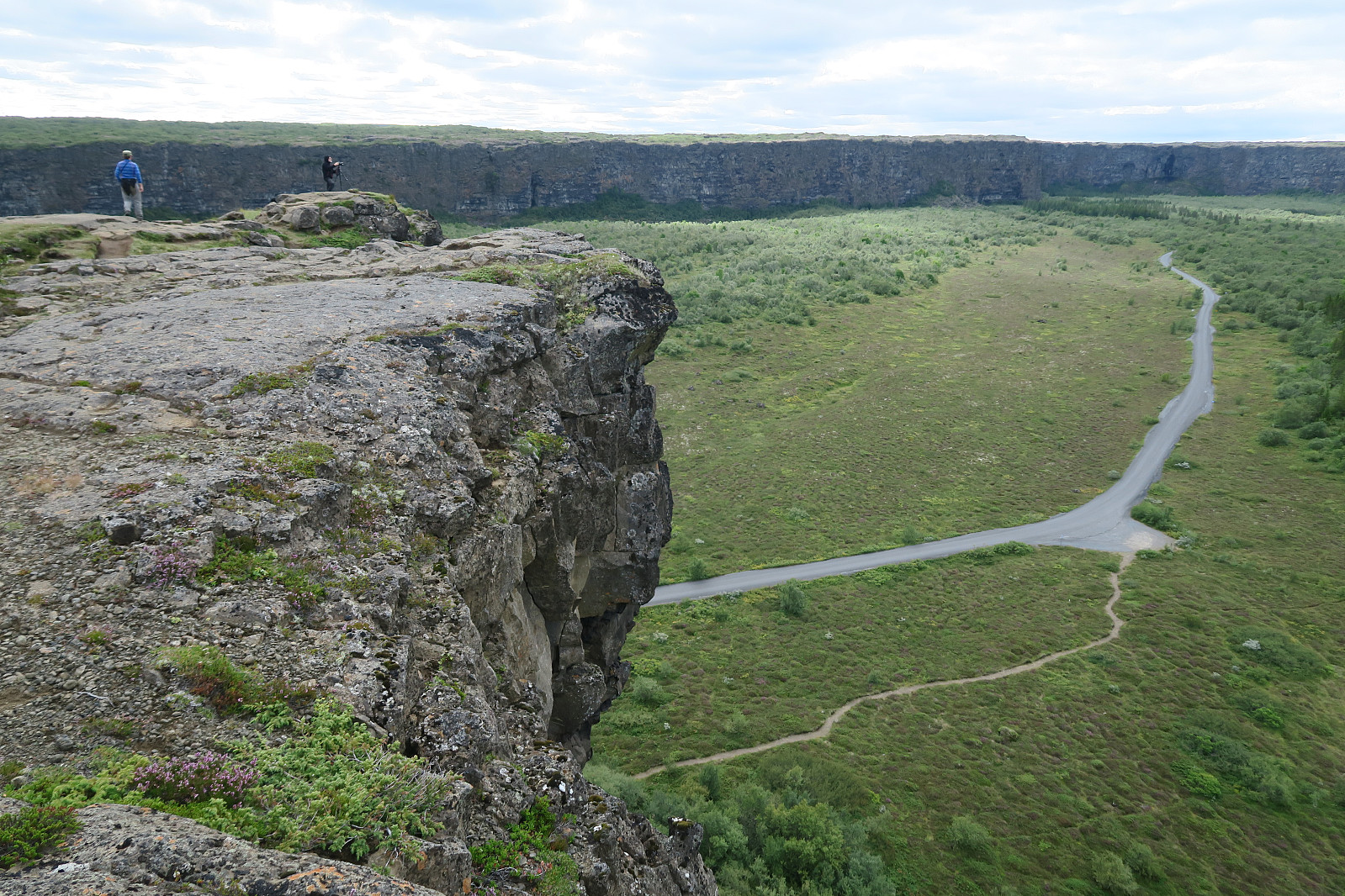
A short and easy hike along a trail (A2) from the Ásbyrgi campground. The trail head is at the camping. The route heads first north and then it goes up the cliff where it is suitable for ascent. From there, 2 km to the south. From Eyjan, there is a nice view to the impressing horse-shoe shaped canyon.

View from the inner inner part of Ásbyrgi (Botnstjörn). Eyjan (the island) is seen to the left. The eastern canyon margin is seen to the right.
The Ásbyrgi canyon seen from aerial photo at google maps
View from Eyjan towards the inner part of the Ásbyrgi canyon.
View from Eyjan towards the western side of the Ásbyrgi canyon.
View from Eyjan towards the eastern side of the Ásbyrgi canyon.
View from Eyjan towards the inner part of the Ásbyrgi canyon.
Startzeitpunkt 14.08.2018 13:20
(UTC+01:00 SZ)
Endzeitpunkt 14.08.2018 14:16
(UTC+01:00 SZ)
Gesamtzeit 0h 55min
Zeit in Bewegung 0h 54min
Pausenzeit 0h 1min
Gesamtschnitt 5,0km/h
Bewegungsschnitt 5,1km/h
Entfernung 4,6km
Höhenmeter 103m

Benutzerkommentare

Kommentartitel:
Zeichen: 1000
Kommentartext:
Du musst angemeldet sein, um Kommentare schreiben zu können.