Archiv - Nach Datum
Archiv - Nach Geografie
Peakbookfreunde


Gesammelte Listen
-
Sukkertoppen topper
(90/112)
 80%
80% -
Møre og Romsdal ≥ 500m pf.
(104/161)
64%
-
Møre og Romsdal kommunetopper
(14/24)
58%
-
Sunnmøre ≥ 100m pf.
(294/531)
55%
-
2000m 30m pf. fastlandet
(99/227)
43%


Pico do Ramelau
- Datum:
- 08.07.2013
- Tourcharakter:
- Wanderung
- Tourlänge:
- 4:13h
- Entfernung:
- 14,1km
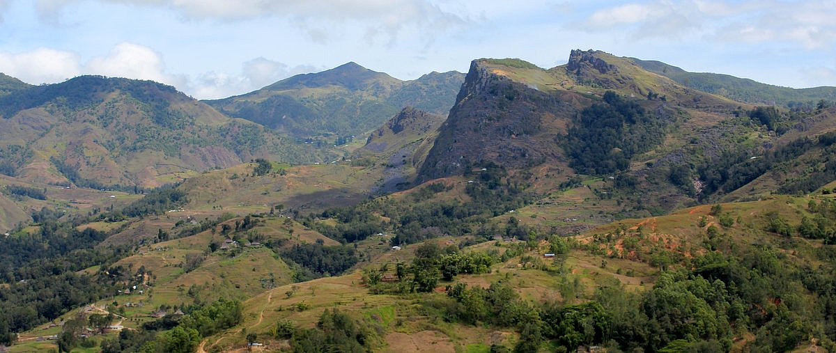 Mount Ramelau (2986m), sometimes referred to as Foho Tatamailau, is the highest peak in the new sovereign state of East Timor (Timor Leste) as well as Timor Island. The hike itself is very straightforward. The biggest challenge is to get to the foot of this mountain.
See my offsite trip-report, photos and gps-track at distantpeak.blogspot.com/2013/07/mount-ramelau.html
Mount Ramelau (2986m), sometimes referred to as Foho Tatamailau, is the highest peak in the new sovereign state of East Timor (Timor Leste) as well as Timor Island. The hike itself is very straightforward. The biggest challenge is to get to the foot of this mountain.
See my offsite trip-report, photos and gps-track at distantpeak.blogspot.com/2013/07/mount-ramelau.html
