Archiv - Nach Datum
Archiv - Nach Geografie
Peakbookfreunde


Gesammelte Listen
-
Sukkertoppen topper
(90/112)
 80%
80% -
Møre og Romsdal ≥ 500m pf.
(104/161)
64%
-
Møre og Romsdal kommunetopper
(14/24)
58%
-
Sunnmøre ≥ 100m pf.
(293/531)
55%
-
2000m 30m pf. fastlandet
(99/227)
43%


Gunung Hulu Kali
- Datum:
- 25.02.2013
- Tourcharakter:
- Wanderung
- Tourlänge:
- 1:11h
- Entfernung:
- 6,3km
Bukit Pagon
- Datum:
- 21.02.2013
- Tourcharakter:
- Wanderung
- Tourlänge:
- 9:48h
- Entfernung:
- 19,6km
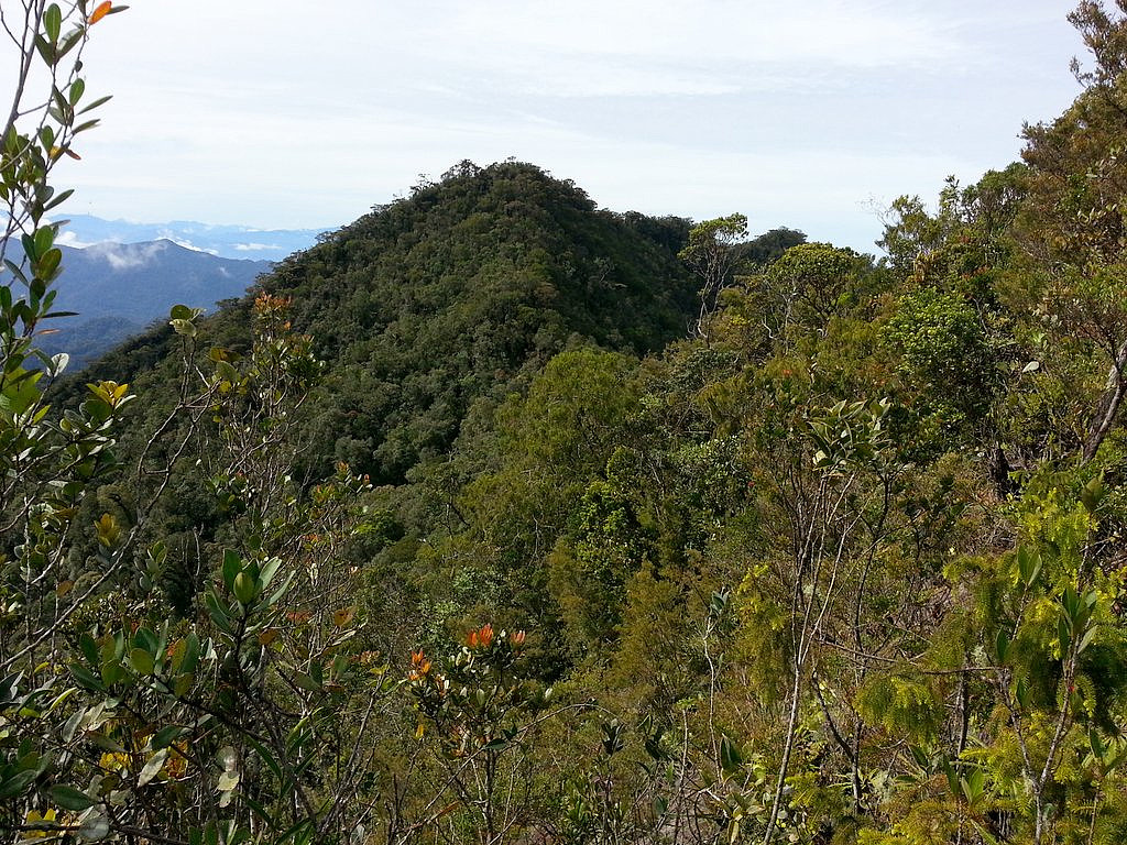 Guided tour package, costing 450 Brunei dollar per person (minimum of 3-4 clients). Long 4WD drive (4 hours each way) to basecamp. The day hike was fairly long too, almost 10 hours (incl return) in moderate pace with lots of up and downs, accumulating to more than 1800m gain of elevation ( click to see my GPS track ). Much of the hike was along an abandoned logging road, then a steep ridge with a surprisingly straightforward trail, which had fixed rope in the steepest sections. According to the guide (Haddy), only 50 people or so have been to this summit. I also returned fairly bloody, because of 3 leeches that had been eating on my two legs for a long time. Almost impossible to stop the bleeding, without a medical kit. Instead they put tobacco into my bites, and that was quite useful.
I need help to find the prominence, >>>
Guided tour package, costing 450 Brunei dollar per person (minimum of 3-4 clients). Long 4WD drive (4 hours each way) to basecamp. The day hike was fairly long too, almost 10 hours (incl return) in moderate pace with lots of up and downs, accumulating to more than 1800m gain of elevation ( click to see my GPS track ). Much of the hike was along an abandoned logging road, then a steep ridge with a surprisingly straightforward trail, which had fixed rope in the steepest sections. According to the guide (Haddy), only 50 people or so have been to this summit. I also returned fairly bloody, because of 3 leeches that had been eating on my two legs for a long time. Almost impossible to stop the bleeding, without a medical kit. Instead they put tobacco into my bites, and that was quite useful.
I need help to find the prominence, >>>
Mount Maculot
- Datum:
- 07.02.2013
- Tourcharakter:
- Wanderung
- Tourlänge:
- 7:35h
- Entfernung:
- 8,3km
We climbed without a local guide. The trail to the Rockies was easy to find and follow. So was the trail to the highest point of Maculot, even though it was somewhat overgrown and had plenty of thorns that ripped up our clothes and skin. While 95% climb the lower Rockies, only 5% continue to the true summit of Maculot. The reason for this is that while the Rockies has very nice views, the true summit has no views at all (dense forest). So most people (except peakbaggers of course) do not see any purpose of climbing 200+ meter higher. From the summit of Mt Maculot, we then continued the traverse to the other side of the mountain, but the overgrown trail turned out to be a dead-end (tall cliff). We realised our mistake when we climbed back to the summit of Maculot and could see a third trail descending >>>
Mount Batulao
- Datum:
- 05.02.2013
- Tourcharakter:
- Wanderung
- Tourlänge:
- 5:41h
- Entfernung:
- 9,0km
Up the "New trail" and down the "Old trail". No guide taken. It is fairly exposed a few places along the ridge, but no danger or problem in dry weather. A girl fell to her death here a couple of years ago. The upper part of the "Old trail" have one short section of fixed rope. I would say this is one of the finest dayhikes in the Philippines. The nearby location of Manila, means it is very busy in the weekends. But midweeks it is silent. We only met five other hikers on this Tuesday. See my GPS-track here .
Taal Volcano
- Datum:
- 04.02.2013
- Tourcharakter:
- Wanderung
- Tourlänge:
- 1:42h
- Entfernung:
- 5,3km
Båten til vulkan-øya tok oss dessverre til nordsida av øya, dermed var det bare å utelukke det høyeste punktet av Taal Vulkanen som ligger på sørsida av krateret. Etter å ha unnagjort motbakkene fra sjøen og opp til kraterkanten og utsiktsplattformen (ca 35 minutt), var neste prosjekt å prøve å bestige det høyeste punktet på nordsida av krateret. Men det viste seg at stien endte et lite stykke øst for utsiktsplattformen. Derfra var det tett vegetasjon, så dermed måtte jeg gi opp dette også. Trøstepremien ble dermed en mini-topp med PF rundt 10 meter, et par minutters gange vestover fra utsiktsplattformen. Selv om det ikke ble noe bestigning av det høyeste punktet på Taal Vulkanen, hadde vi uansett en fantastisk dag :-) Se GPS-spor her
Mount Sungay
- Datum:
- 03.02.2013
- Tourcharakter:
- Wanderung
Besøkte Marcos sitt påbegynte Castle in the Sky, nå heter det bare People's Park in the Sky. Den beskjedne toppen med bilvei nesten helt til topps heter egentlig Mount Sungay, og jeg måtte gjøre en del google-søk før jeg fant frem til dette navnet. Fra toppen er det flott utsikt over det enorme krateret som nå er en innsjø (Taal Lake) og hvor et par tre mindre vulkaner stikker opp av vannet. Den enorme Taal vulkanen var tidligere 5800 meter høy, dvs omtrentlig som Kilimanjaro. Det er ufattelig at en slik kjempevulkan kan ha kollapset så til de grader. Nok en bekreftelse på at heller ikke fjelltopper varer evig. Imorgen er planen å krysse krater-innsjøen med båt og bestige Taal-vulkanen, som nå er en øytopp (i Lake Taal) og bare 300 m høy.
