Archiv - Nach Datum
Archiv - Nach Aktivität
-
Andere Tour (3)
- Kayaking (3)
-
Fahrradtour (107)
- Fahrradtour Straße (82)
- Fahrradtour gemischt (25)
-
Fahrzeugtour (9)
- Autotour (9)
-
Fußtour (1747)
- Bergtour (1034)
- Jogging (1)
- Spaziergang (52)
- Wanderung (660)
-
Skitour (109)
- Langlauf (44)
- Tourenskilauf (65)
Gesammelte Listen
-
Utvalgte topper og turmål i Bergen
(332/333)
 99%
99% -
Alle topper i Bergen
(379/386)
98%
-
Kvam ≥ 100m pf.
(41/44)
93%
-
Opptur Hordaland
(143/159)
89%
-
Voss ≥ 100m pf.
(86/98)
87%
-
Stasjoner på Bergensbanen
(28/36)
77%
-
Hordaland ≥ 100m pf.
(593/863)
68%
-
Ulvik ≥ 100m pf.
(26/38)
68%
-
Jondal ≥ 100m pf.
(15/23)
65%
-
Dagsturhyttene i Vestland
(33/61)
54%
-
Sunnhordland PF >= 100m
(100/186)
53%
-
DNT-hytter i Hordaland
(22/45)
48%
-
Hordaland: Hardanger PF>=100m
(170/359)
47%
-
Kvinnherad ≥ 100m pf.
(36/79)
45%
-
Sogndal ≥ 100m pf.
(23/81)
28%
-
DNT-hytter i Sogn og Fjordane
(8/47)
17%
-
Eidfjord ≥ 100m pf.
(6/42)
14%
-
Etne ≥ 100m pf.
(7/51)
13%
-
Ullensvang ≥ 100m pf.
(19/153)
12%
-
Opptur i Sogn og Fjordane peaks
(17/177)
9%

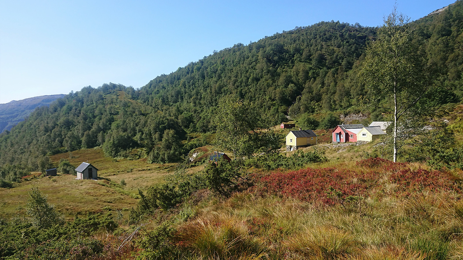
Melstveitåsen and Økterberg from Fyksesundvegen via Berge
- Datum:
- 28.05.2022
- Tourcharakter:
- Bergtour
- Tourlänge:
- 2:47h
- Entfernung:
- 9,3km
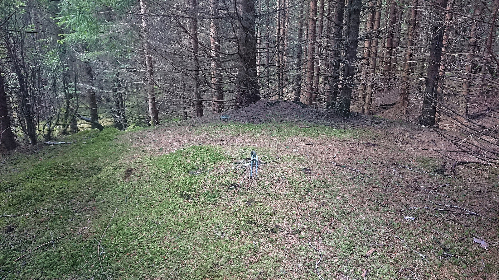 Earlier trip reports indicate that the summit of Melstveitåsen is a location that most hikers will probably not feel the need to visit. However, upon researching how to get to Melstveitåsen by public transport, I came across a suggested hike at ut.no promising excellent views from Økterberg , a location only 600 meters northeast of the summit, which I then of course had to add to my planned hike.
But even with this addition, and the fact that my hike had to start from the bus stop at the main road, the hike would still be quite short. I therefore decided to add a sightseeing element and arrive at the trailhead via first taking the train to Voss and from there the bus via Granvin. This provided excellent views along the way, especially the drive along the fjords, and as a bonus made it into a roundtrip.
Upon finally arriving at the bus stop >>>
Earlier trip reports indicate that the summit of Melstveitåsen is a location that most hikers will probably not feel the need to visit. However, upon researching how to get to Melstveitåsen by public transport, I came across a suggested hike at ut.no promising excellent views from Økterberg , a location only 600 meters northeast of the summit, which I then of course had to add to my planned hike.
But even with this addition, and the fact that my hike had to start from the bus stop at the main road, the hike would still be quite short. I therefore decided to add a sightseeing element and arrive at the trailhead via first taking the train to Voss and from there the bus via Granvin. This provided excellent views along the way, especially the drive along the fjords, and as a bonus made it into a roundtrip.
Upon finally arriving at the bus stop >>>
Steinsdalsfossen from Norheimsund
- Datum:
- 02.04.2022
- Tourcharakter:
- Spaziergang
- Tourlänge:
- 0:45h
- Entfernung:
- 3,1km
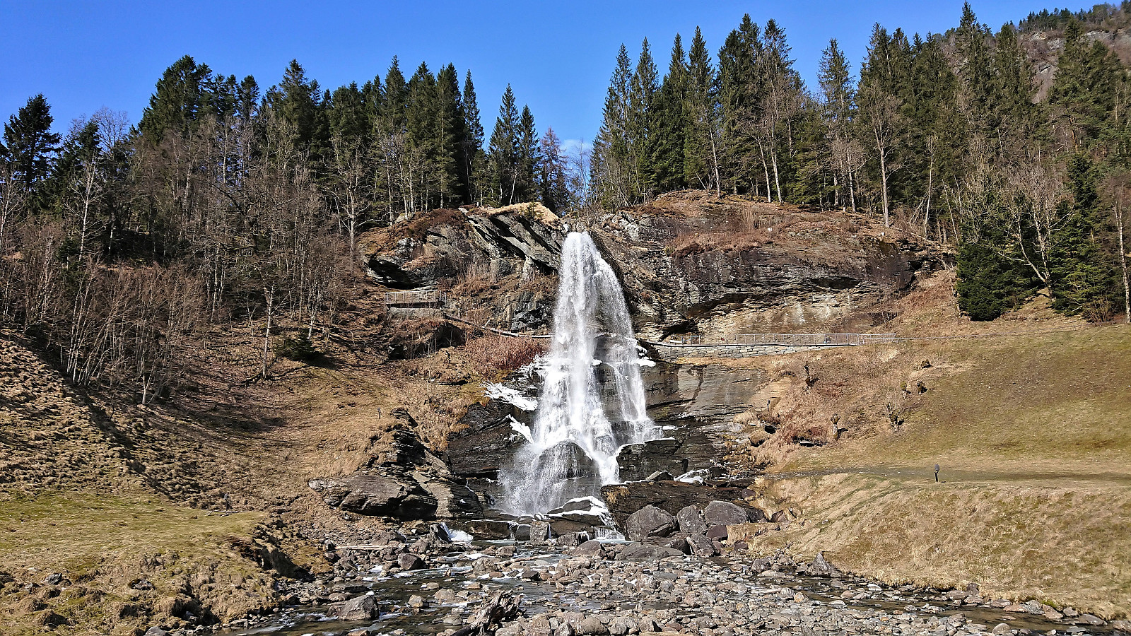 After my short hike to Åsen , I returned by bus to Norheimsund, where I had almost an hour to kill before the next bus to Bergen. I therefore decided to pay Steinsdalsfossen a visit. A location I had not visited since I was a child. Sadly, the waterfall was not yet officially opened for the summer, and I could not do the unique walk behind the waterfall. But at least I more or less had the waterfall to myself, which is rarely the case during the summer. After a short lunch break, the bus arrived to take me back to Bergen.
Åsen from Fonnaland/Vikøyvegen
- Datum:
- 02.04.2022
- Tourcharakter:
- Bergtour
- Tourlänge:
- 1:09h
- Entfernung:
- 5,6km
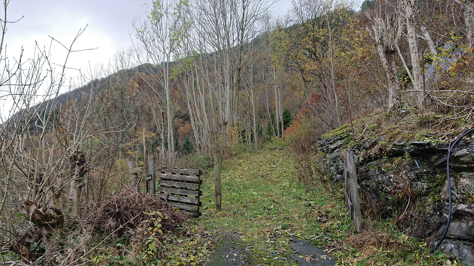
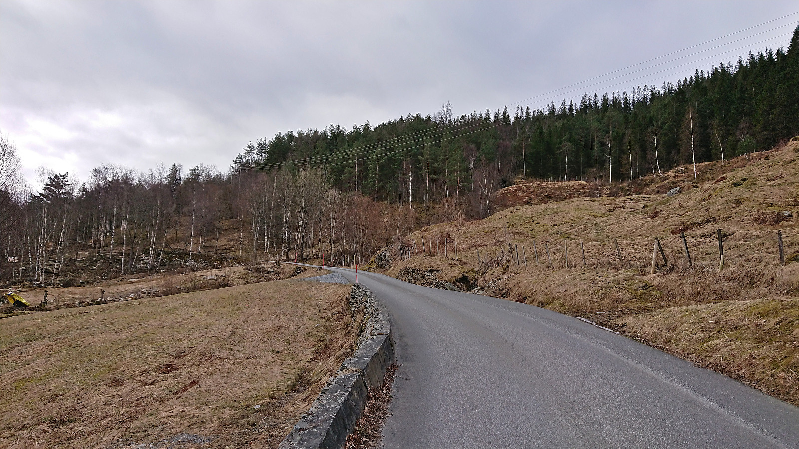 A short hike to the summit of Åsen starting from the bus stop at the main road and heading up the paved side road to Øvre Aksnes. After passing the final house (and a turkey farm, see elbow (Vegard Magnussen) 's trip report as I did not see any turkeys myself), I continued on a tractor road that took me almost all the way to the summit. Reaching the summit was thus straightforward and only required a short off-trail section (less than 150 meters). Still some snow on the tractor road and at the summit area, but it was packed hard and I could easily walk on top of it. No clear highest point and very limited views, hence I did not stay long before returning along the same route. Overall, not the most interesting summit, but the excellent views from Øvre Aksnes more than made up for it.
Vardafjellet, Bjørnafjellet and Storanosi
- Datum:
- 20.03.2022
- Tourcharakter:
- Tourenskilauf
- Tourlänge:
- 5:23h
- Entfernung:
- 21,5km
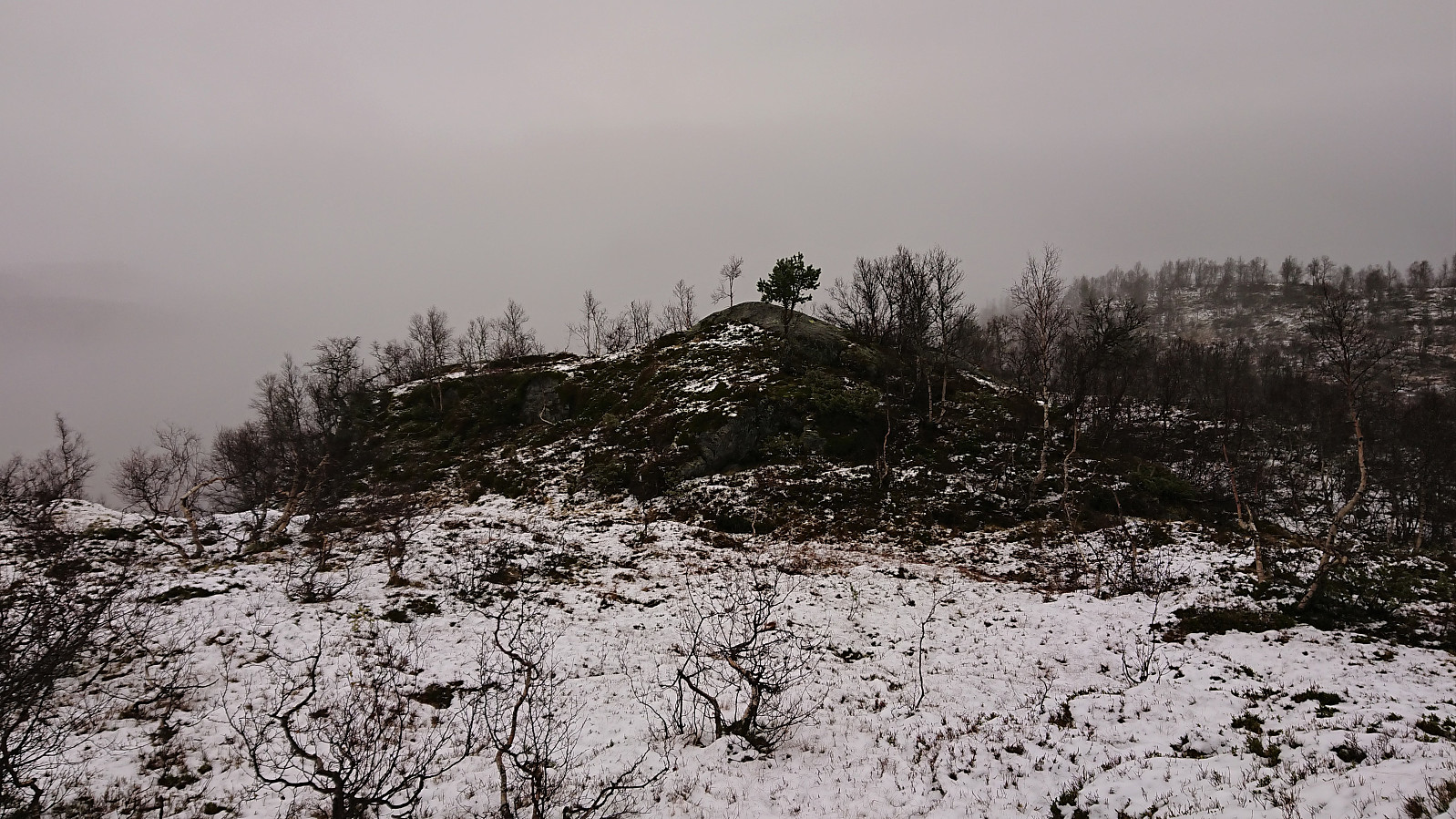
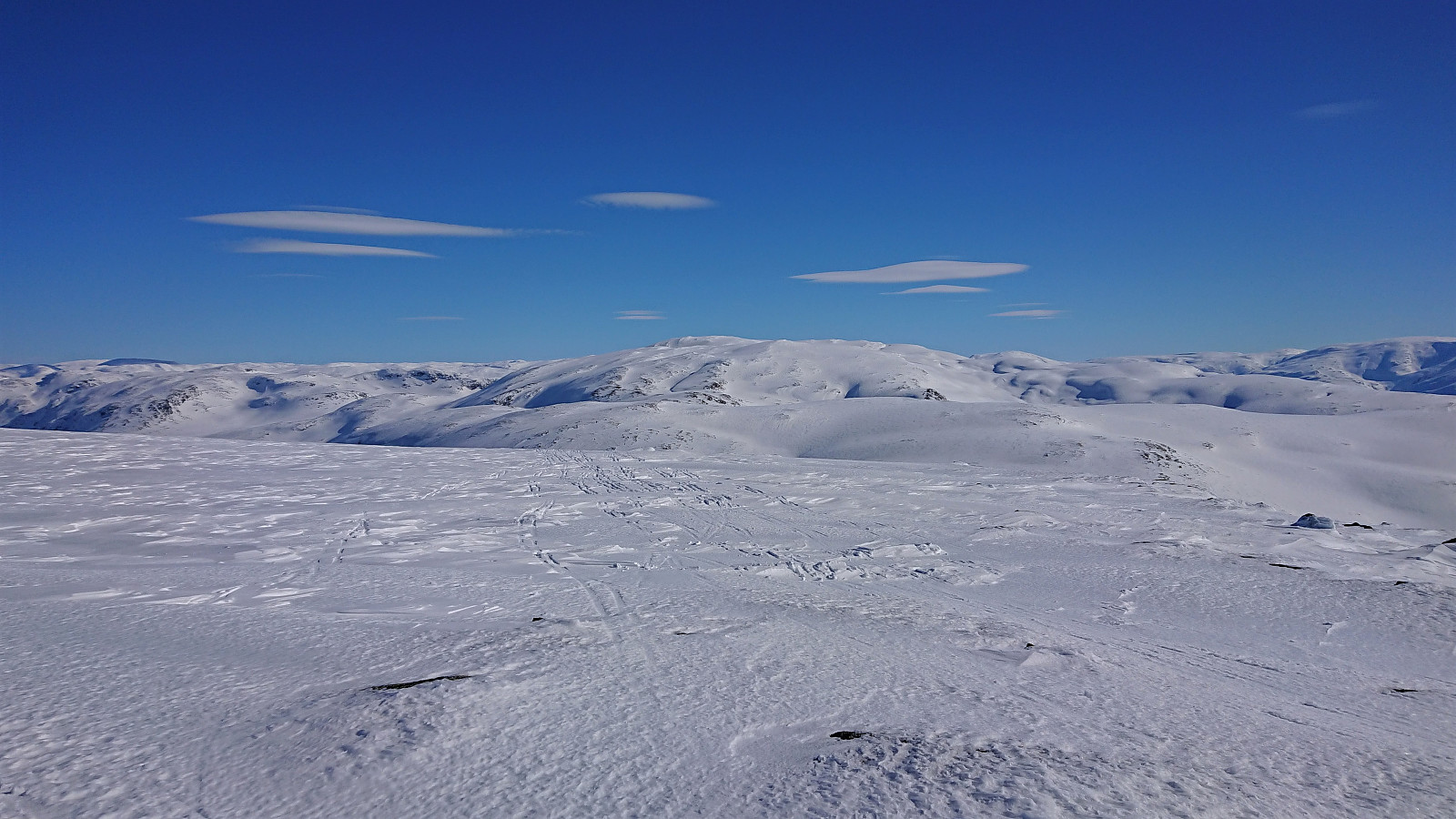 Skiing trip organized by The Norwegian Trekking Association (DNT) , or more specifically Voss Utferdslag , with bus transportation from Voss to the parking lot in Brandset and later back to Voss from Ospehaugen p-plass . We started out in excellent sunny weather that was bordering on too warm, but as we ascended towards Vardafjellet the wind started to pick up, so much that we had to delay the lunch break.
Initially we were going to pass just north of the summit of Vardafjellet, but after asking nicely, I was allowed to shortly leave the group for a short detour on my own to visit the summit. I quickly returned to the group and we descended to Prinsabotnskaret for a late lunch break in shelter of the strongest wind. Just as we got ready for the ascent to Bjørnafjellet , one of the participants lost her sit pad to the wind and we saw it tumbling over the ridge to the north and disappearing.
After a visit of the summit of >>>
Skiing trip organized by The Norwegian Trekking Association (DNT) , or more specifically Voss Utferdslag , with bus transportation from Voss to the parking lot in Brandset and later back to Voss from Ospehaugen p-plass . We started out in excellent sunny weather that was bordering on too warm, but as we ascended towards Vardafjellet the wind started to pick up, so much that we had to delay the lunch break.
Initially we were going to pass just north of the summit of Vardafjellet, but after asking nicely, I was allowed to shortly leave the group for a short detour on my own to visit the summit. I quickly returned to the group and we descended to Prinsabotnskaret for a late lunch break in shelter of the strongest wind. Just as we got ready for the ascent to Bjørnafjellet , one of the participants lost her sit pad to the wind and we saw it tumbling over the ridge to the north and disappearing.
After a visit of the summit of >>>
Gravdalshorga from Gravdal
- Datum:
- 31.10.2021
- Tourcharakter:
- Bergtour
- Tourlänge:
- 3:57h
- Entfernung:
- 10,2km
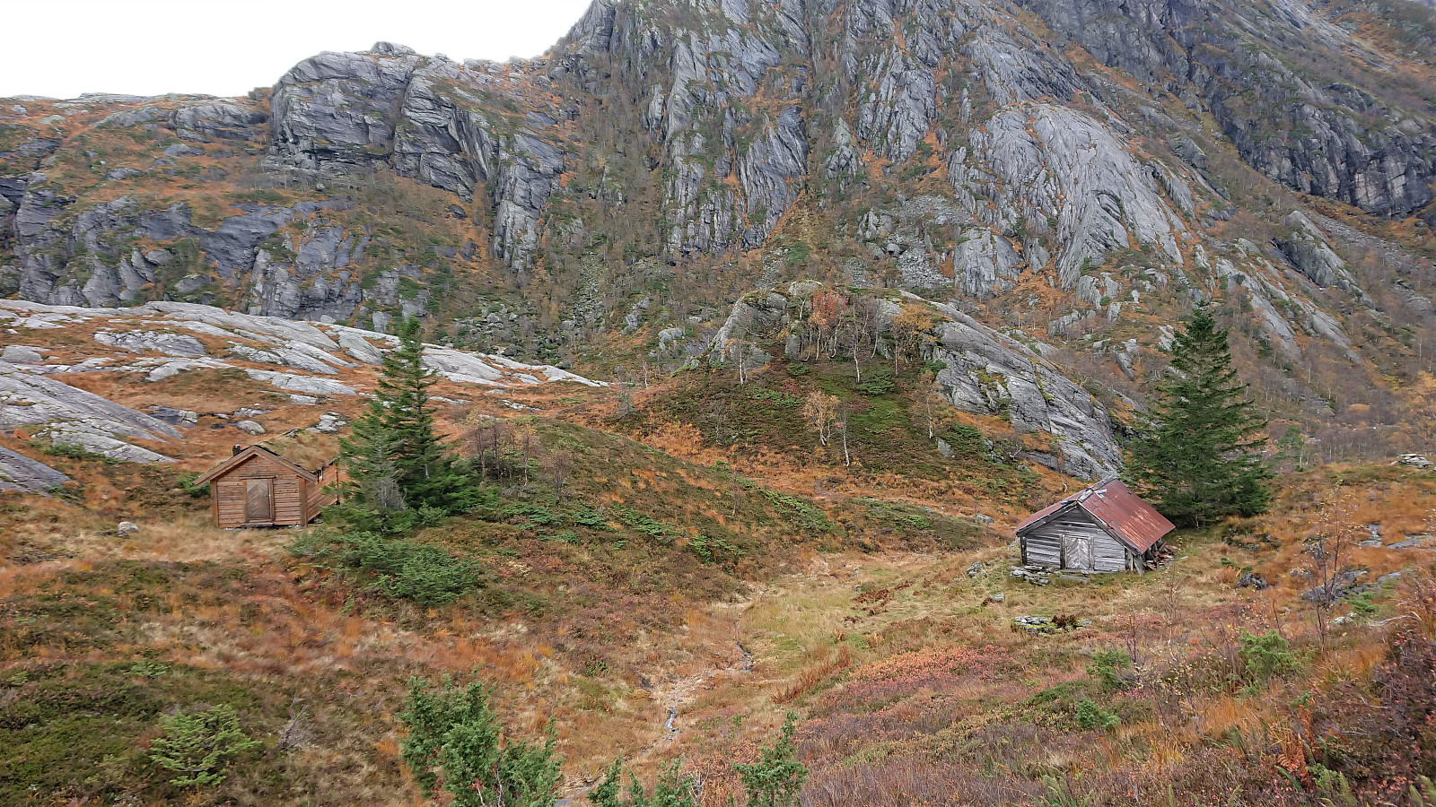
 I started by taking the bus from Bergen to Gravdal and got off at the bus stop called "Gravdal sør, Kvam". From there I pretty much followed in the footsteps of previous PB-hikers to Gravdalshorga , and could thus take advantage of their efforts at finding the best route.
After passing the last houses at the end of Gravdalsvegen, I continued on a tractor road taking me to an unmarked trail following the river up to the unnamed cabin at the northeastern end of Sakresvatn. While the trailhead was unmarked, the trail itself was relatively easy to follow.
As I arrived at the cabin, I however noticed that this was an unnecessary detour and that I should rather have stayed on the south side of the stream (see the return route). But after finding a place to cross the stream I was shortly back on track >>>
I started by taking the bus from Bergen to Gravdal and got off at the bus stop called "Gravdal sør, Kvam". From there I pretty much followed in the footsteps of previous PB-hikers to Gravdalshorga , and could thus take advantage of their efforts at finding the best route.
After passing the last houses at the end of Gravdalsvegen, I continued on a tractor road taking me to an unmarked trail following the river up to the unnamed cabin at the northeastern end of Sakresvatn. While the trailhead was unmarked, the trail itself was relatively easy to follow.
As I arrived at the cabin, I however noticed that this was an unnecessary detour and that I should rather have stayed on the south side of the stream (see the return route). But after finding a place to cross the stream I was shortly back on track >>>
Klyvsnolten and Lauvhovden
- Datum:
- 19.10.2021
- Tourcharakter:
- Bergtour
- Tourlänge:
- 3:02h
- Entfernung:
- 8,2km
 After a two-day meeting at Voss ended after lunch, I managed to convince my colleague HHauser (Helwig Hauser) to go hiking even though the weather forecast looked less than promising. Prepared to get pretty wet and not expecting much in terms of views along the way, we settled on a roundtrip including both Klyvsnolten and Lauvhovden .
We parked besides the gravel road up to Øvre Klyve, returned to the main road and followed it east for 400 meters before heading up a tractor road that Helwig had found when studying the map back at the hotel. The plan was to follow this tractor road until it ended and from there reach a trail stub indicated on the map south of Klyvesnolten.
The tractor road, which seemingly had not been used in a long time, actually continued further than what is indicated on the map, and when it came to an end there was >>>
After a two-day meeting at Voss ended after lunch, I managed to convince my colleague HHauser (Helwig Hauser) to go hiking even though the weather forecast looked less than promising. Prepared to get pretty wet and not expecting much in terms of views along the way, we settled on a roundtrip including both Klyvsnolten and Lauvhovden .
We parked besides the gravel road up to Øvre Klyve, returned to the main road and followed it east for 400 meters before heading up a tractor road that Helwig had found when studying the map back at the hotel. The plan was to follow this tractor road until it ended and from there reach a trail stub indicated on the map south of Klyvesnolten.
The tractor road, which seemingly had not been used in a long time, actually continued further than what is indicated on the map, and when it came to an end there was >>>
Tofjellet from Straume
- Datum:
- 09.10.2021
- Tourcharakter:
- Bergtour
- Tourlänge:
- 5:49h
- Entfernung:
- 16,2km
 After a detailed study of the weather forecast combined with a search for possible peaks that could be visited in between the seemingly constant string of rain storms, I settled on Tofjellet and took the early morning train to Dale and the connecting bus to Straume. Armed with arntfla (Arnt Flatmo) 's external trip report I started up the tractor road to Nesatræet . Here I decided to try the trail passing by two of the remaining buildings and from there closely following the river on the way to Straumsstølen . The trail was overall easy to follow, but relatively wet at times.
The trail soon merged with the tractor road and within not too long I arrived at Straumsstølen. Or rather, almost at Straumsstølen. There was the small matter of crossing the river. At first I thought I would have to wade across, as the bridge seemed to be missing. However, I thankfully looked >>>
After a detailed study of the weather forecast combined with a search for possible peaks that could be visited in between the seemingly constant string of rain storms, I settled on Tofjellet and took the early morning train to Dale and the connecting bus to Straume. Armed with arntfla (Arnt Flatmo) 's external trip report I started up the tractor road to Nesatræet . Here I decided to try the trail passing by two of the remaining buildings and from there closely following the river on the way to Straumsstølen . The trail was overall easy to follow, but relatively wet at times.
The trail soon merged with the tractor road and within not too long I arrived at Straumsstølen. Or rather, almost at Straumsstølen. There was the small matter of crossing the river. At first I thought I would have to wade across, as the bridge seemed to be missing. However, I thankfully looked >>>
Vesoldo and Slåttenuten - from Tørvik to Norheimsund
- Datum:
- 25.09.2021
- Tourcharakter:
- Bergtour
- Tourlänge:
- 6:31h
- Entfernung:
- 22,4km
 I started by taking the bus to Tørvik and getting off at the bus stop called "Heradstveit kryss". At the initial crossroads there were hiking signs pointing in both directions. I went for the southern option, passing through Tørvik and Tveiten, before following a toll road to the parking lot at Perslå . I briefly considered heading southwest to Tveitestølen to ascend Tørvikenuten from the south. But while there was a trail indicated on the map, the hiking information sign at Perslå did not mention this option at all. Not wanting to risk spending most of the ascent searching for a potentially weak trail, I instead went for the safe option and followed the marked trail via Osadal.
The tractor road continued all the way to Finnhellersvatnet, though it looked more like a trail than a road towards the end. From >>>
I started by taking the bus to Tørvik and getting off at the bus stop called "Heradstveit kryss". At the initial crossroads there were hiking signs pointing in both directions. I went for the southern option, passing through Tørvik and Tveiten, before following a toll road to the parking lot at Perslå . I briefly considered heading southwest to Tveitestølen to ascend Tørvikenuten from the south. But while there was a trail indicated on the map, the hiking information sign at Perslå did not mention this option at all. Not wanting to risk spending most of the ascent searching for a potentially weak trail, I instead went for the safe option and followed the marked trail via Osadal.
The tractor road continued all the way to Finnhellersvatnet, though it looked more like a trail than a road towards the end. From >>>
Vedasnerta and Nessteinen from Nes/Mundheimsvegen
- Datum:
- 18.09.2021
- Tourcharakter:
- Bergtour
- Tourlänge:
- 6:17h
- Entfernung:
- 18,9km
 Since my trip to Vågenipen and Lukefjellet two weeks earlier , I had wanted to get a closer look at Vedasnerta and Nessteinen on the opposite side of Mundheimsdalen, as they both looked quite dramatic from a distance. When researching how to best visit both summits, I came across a route description at ut.no that looked very promising as it indicated a marked trail all the way to the summit of Nessteinen: https://ut.no/turforslag/119653/nessteinen . The suggestion did not mention Vedasnerta at all, but I assumed that the short off-trail ascent from Vatnadalsvatnet (in the valley between Nessteinen and Vedasnerta) would not be too difficult.
I started by taking the bus from Bergen to Mundheim. Here I switched to a connecting bus heading for Norheimsund, which I only stayed on for two stops before getting off at the bus stop called Teigland right next to the start of the tractor road indicated on the route at >>>
Since my trip to Vågenipen and Lukefjellet two weeks earlier , I had wanted to get a closer look at Vedasnerta and Nessteinen on the opposite side of Mundheimsdalen, as they both looked quite dramatic from a distance. When researching how to best visit both summits, I came across a route description at ut.no that looked very promising as it indicated a marked trail all the way to the summit of Nessteinen: https://ut.no/turforslag/119653/nessteinen . The suggestion did not mention Vedasnerta at all, but I assumed that the short off-trail ascent from Vatnadalsvatnet (in the valley between Nessteinen and Vedasnerta) would not be too difficult.
I started by taking the bus from Bergen to Mundheim. Here I switched to a connecting bus heading for Norheimsund, which I only stayed on for two stops before getting off at the bus stop called Teigland right next to the start of the tractor road indicated on the route at >>>
Haukåsfjellet from Tokagjelet
- Datum:
- 28.08.2021
- Tourcharakter:
- Bergtour
- Tourlänge:
- 6:58h
- Entfernung:
- 23,8km
 For some time I had been looking into the possibility of hiking to Haukåsfjellet from Tokagjelet/Langvotnevatnet, as the map indicated that I should be able to follow a trail the whole way. Getting to the start of this planned hike by bus would however turn out to be slightly more complicated than I had thought, as I happened to pick the same day to go hiking as when seemingly half of all the international students in Bergen had decided to hike Trolltunga (as the same bus was going all the way to Odda). When the bus finally showed up at the bus stop next to NHH, it was more than ten minutes late and had in fact turned into two buses, but both of them already with no free seats. I therefore had to stand until we got to Arna, where, after another short break, yet another bus showed up to take over all of us excess >>>
