Archiv - Nach Datum
Archiv - Nach Aktivität
-
Andere Tour (3)
- Kayaking (3)
-
Fahrradtour (115)
- Fahrradtour Straße (87)
- Fahrradtour gemischt (28)
-
Fahrzeugtour (9)
- Autotour (9)
-
Fußtour (1908)
- Bergtour (1124)
- Jogging (2)
- Spaziergang (60)
- Wanderung (722)
-
Skitour (116)
- Langlauf (47)
- Tourenskilauf (69)
Gesammelte Listen
-
Utvalgte topper og turmål i Bergen
(351/352)
 99%
99% -
Alle topper i Bergen
(395/400)
98%
-
Voss ≥ 100m pf.
(96/98)
97%
-
Opptur Hordaland
(144/159)
90%
-
Stasjoner på Bergensbanen
(33/40)
82%
-
Ulvik ≥ 100m pf.
(30/38)
78%
-
Hordaland ≥ 100m pf.
(625/863)
72%
-
Mjølfjell PF > 100m
(21/31)
67%
-
Jondal ≥ 100m pf.
(15/23)
65%
-
Dagsturhyttene i Vestland
(37/62)
59%
-
Sunnhordland PF >= 100m
(106/186)
56%
-
Hordaland: Hardanger PF>=100m
(196/359)
54%
-
Kvinnherad ≥ 100m pf.
(41/79)
51%
-
DNT-hytter i Hordaland
(23/46)
50%
-
Eidfjord ≥ 100m pf.
(13/42)
30%
-
Sogndal ≥ 100m pf.
(23/81)
28%
-
Gulen ≥ 100m pf.
(15/54)
27%
-
Vik i Sogn ≥ 100m pf.
(10/46)
21%
-
Sogn - Sør for Sognefjorden PF>=100m
(31/159)
19%
-
DNT-hytter i Sogn og Fjordane
(8/47)
17%

Britabu Easter Barbecue 2026
- Datum:
- 02.04.2026
- Tourcharakter:
- Langlauf
- Tourlänge:
- 3:24h
- Entfernung:
- 10,1km
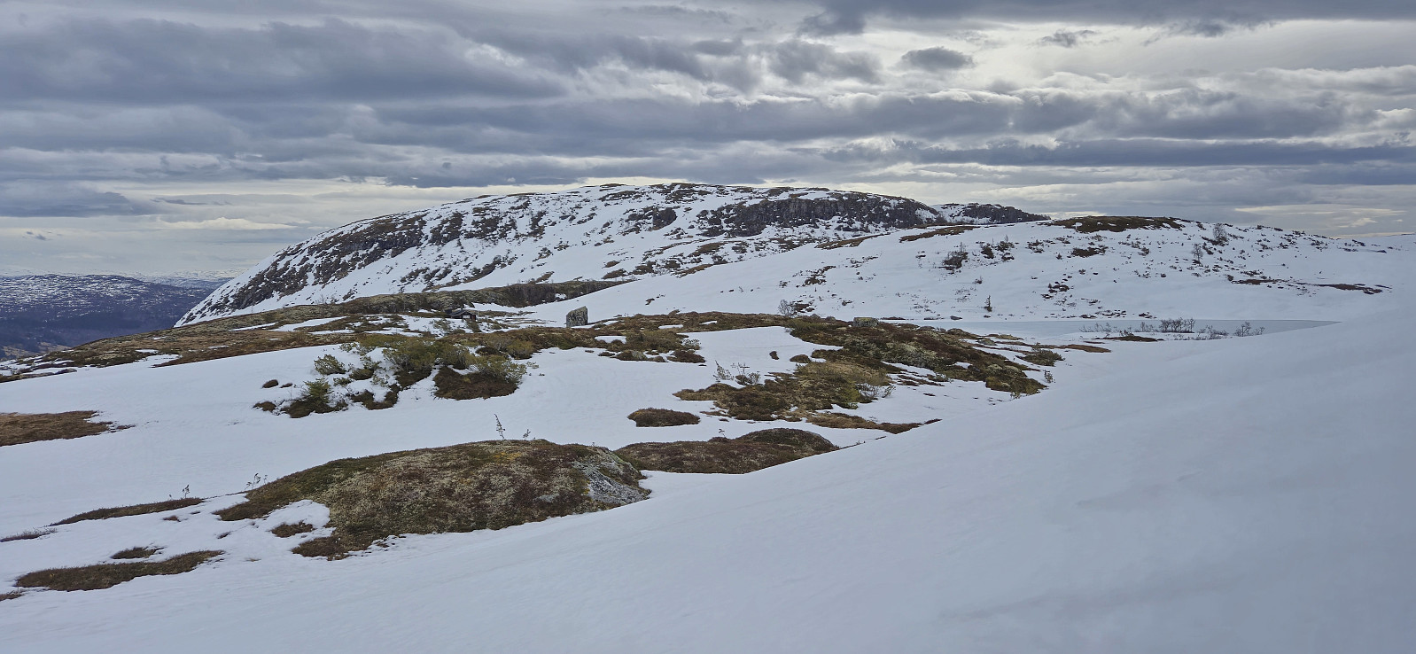
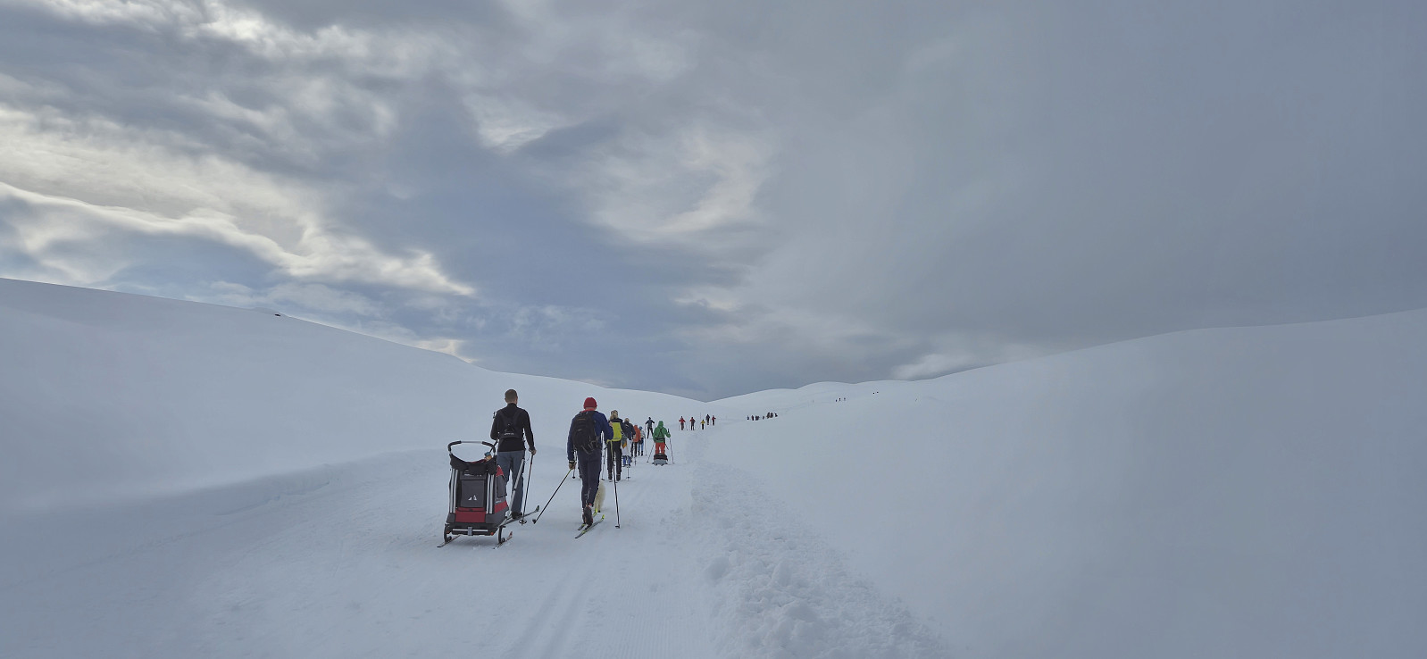
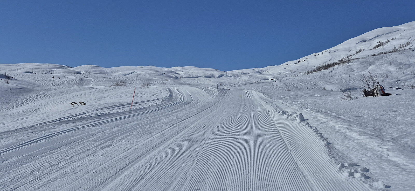 Attending the traditional Easter barbecue at Britabu after first visiting Høgehaug . Nice skiing conditions but lots of wind.
Skiing: Rundemanen
- Datum:
- 02.01.2026
- Tourcharakter:
- Langlauf
- Tourlänge:
- 3:47h
- Entfernung:
- 14,9km
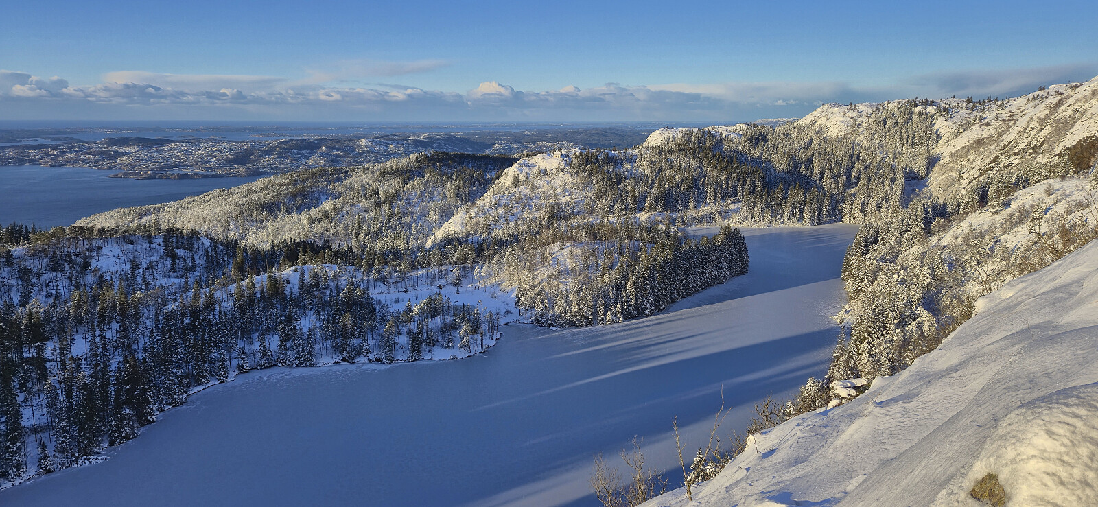 Skiing from Fløyen to Rundemanen with my dad. When returning to Brushytten he returned to Fløibanen while I continued home to Lønborg.
Skiing at Fløyen in November!
- Datum:
- 21.11.2025
- Tourcharakter:
- Langlauf
- Tourlänge:
- 2:16h
- Entfernung:
- 10,4km
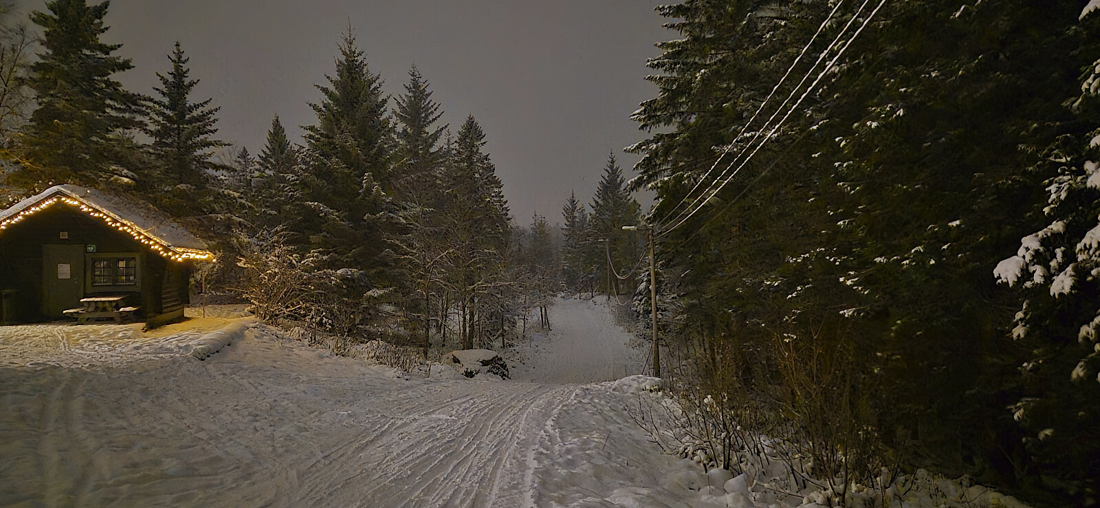 First skiing trip of the season! The snow conditions were overall ok with new snow from above for most of the trip. I put on the skis near Regnhytten and, except for a short section when descending from Storediket, I kept them on until Smådiket. Although the snow turned into a proper rain shower before I made it to the bus stop at Munkebotn, it was still an enjoyable trip. Note that due to the recent storm there are currently no lights in "Lysløypen".
Høgehaug and Britabu
- Datum:
- 14.04.2025
- Tourcharakter:
- Langlauf
- Tourlänge:
- 3:03h
- Entfernung:
- 9,6km
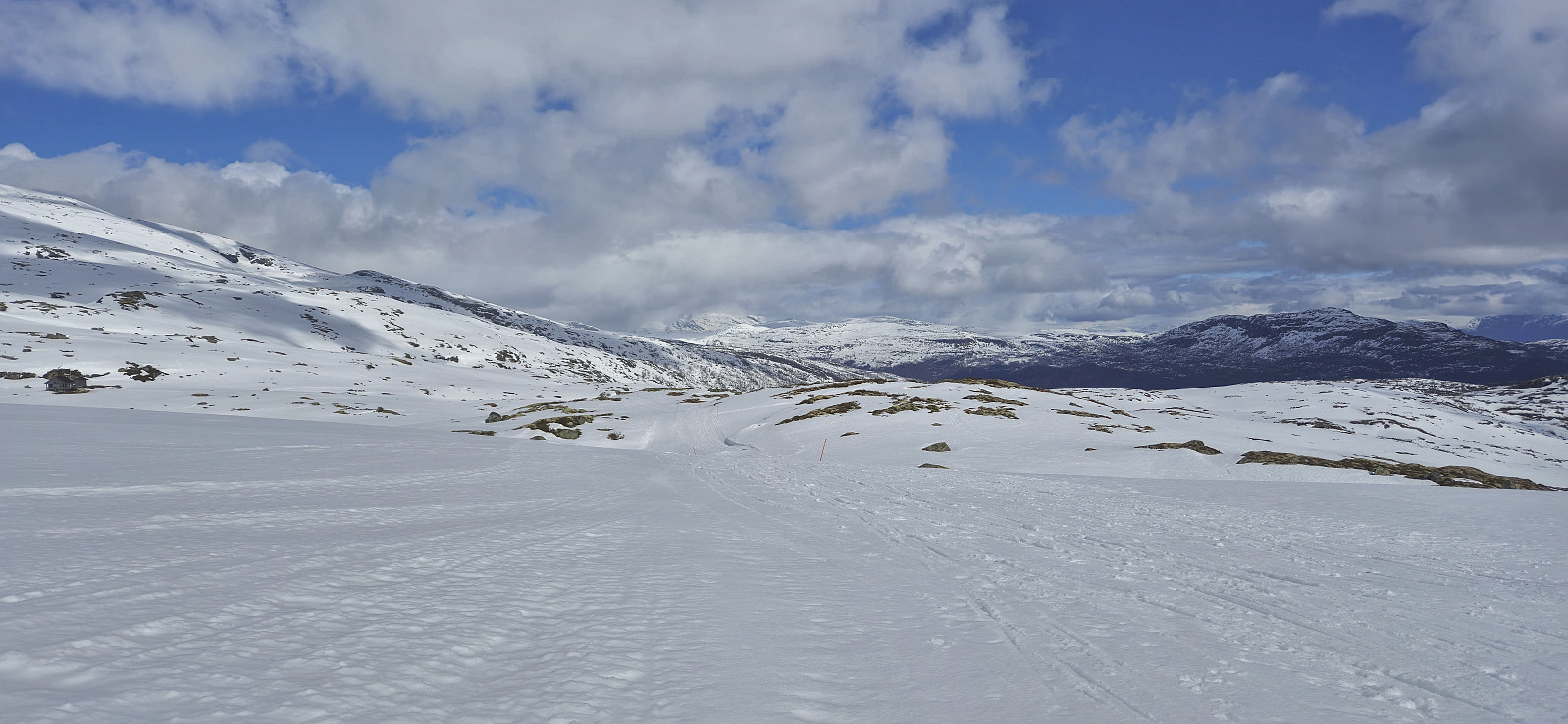 The traditional Easter skiing trip from Rindabotn to Høgehaug with a short lunch break outside Britabu .
Skavasshaugane
- Datum:
- 13.04.2025
- Tourcharakter:
- Langlauf
- Tourlänge:
- 2:13h
- Entfernung:
- 6,7km
 Short skiing trip to check if there was still enough snow for a slightly longer trip the next day.
Skiing: Fløyen to Lønborg
- Datum:
- 10.01.2025
- Tourcharakter:
- Langlauf
- Tourlänge:
- 3:46h
- Entfernung:
- 12,6km
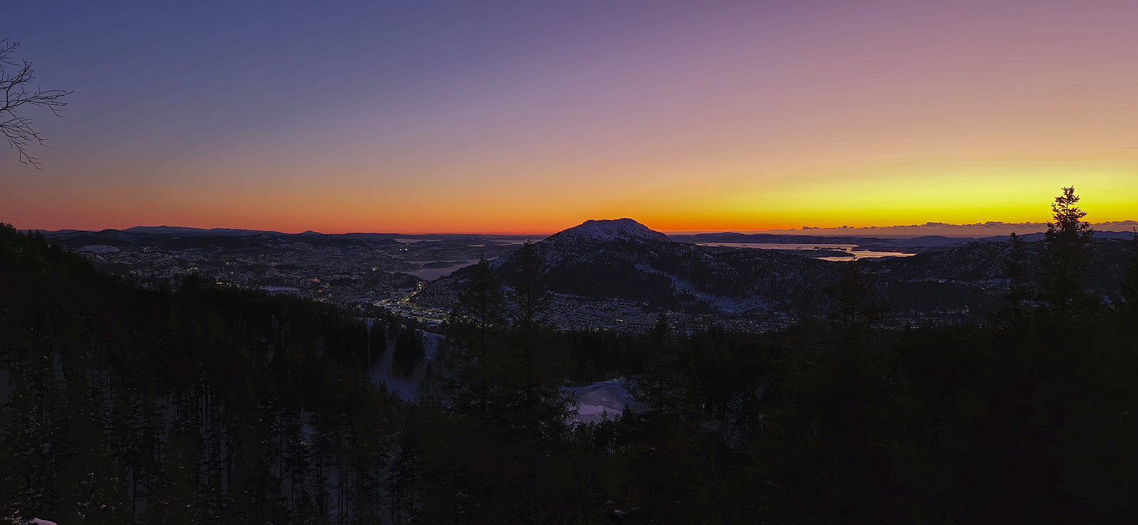 Afternoon skiing at Fløyen with some of my colleagues, including one from Costa Rica and his visiting friend from Columbia, neither of which had ever skied before. Both did remarkably well though and made it through a round in the lower half "lysløypen" without any injuries. When the rest of the party then headed back to Fløibanen, I ascended to Brushytten on my own and from there followed the roads to the top of Øyjorden. The skis stayed on until the top of Olinestien, even though the snow conditions for the descent to Munkebotsvatnet were significantly worse than a week earlier.
Skiing: Rundemanen
- Datum:
- 05.01.2025
- Tourcharakter:
- Langlauf
- Tourlänge:
- 3:48h
- Entfernung:
- 17,5km
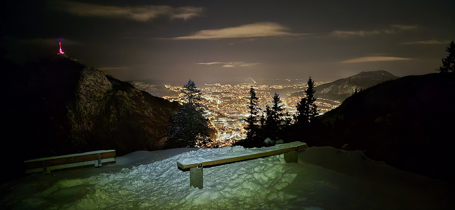
 The plan was to take Fløibanen and start skiing from the upper station, I had even bought the ticket, but when seeing the long queue I changed my mind and instead carried the skis up to just below Skomakerdiket. Here the skis came on and stayed on until the top of Olinestien. The snow conditions were good but a minor snowstorm at Rundemanen made me glad that I was in familiar terrain.
Skiing: Fløyen to Lønborg
- Datum:
- 03.01.2025
- Tourcharakter:
- Langlauf
- Tourlänge:
- 2:46h
- Entfernung:
- 15,4km
 It was finally time for the first skiing trip of the season! The skis came on at the top of Fløibanen and stayed on until the top of Øyjorden.
Britabu Easter Barbecue 2024
- Datum:
- 28.03.2024
- Tourcharakter:
- Langlauf
- Tourlänge:
- 3:03h
- Entfernung:
- 9,5km
 Attending the traditional Easter barbecue at Britabu . The weather was however sadly not the best, with poor visibility during the descent.
Around Fjærlandssetvatnet
- Datum:
- 25.03.2024
- Tourcharakter:
- Langlauf
- Tourlänge:
- 3:38h
- Entfernung:
- 16,0km
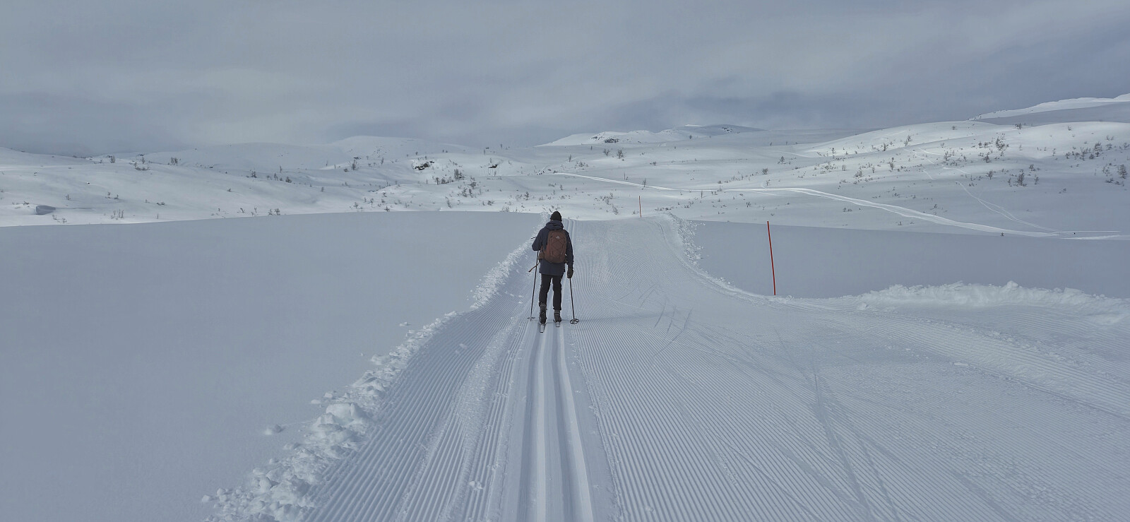 The standard skiing trip around Fjærlandssetvatnet starting from Rindabotn .
