Archiv - Nach Datum
Archiv - Nach Aktivität
-
Andere Tour (3)
- Kayaking (3)
-
Fahrradtour (108)
- Fahrradtour Straße (83)
- Fahrradtour gemischt (25)
-
Fahrzeugtour (9)
- Autotour (9)
-
Fußtour (1870)
- Bergtour (1109)
- Jogging (1)
- Spaziergang (55)
- Wanderung (705)
-
Skitour (115)
- Langlauf (47)
- Tourenskilauf (68)
Gesammelte Listen
-
Utvalgte topper og turmål i Bergen
(346/347)
 99%
99% -
Alle topper i Bergen
(391/398)
98%
-
Voss ≥ 100m pf.
(96/98)
97%
-
Opptur Hordaland
(144/159)
90%
-
Stasjoner på Bergensbanen
(31/40)
77%
-
Ulvik ≥ 100m pf.
(28/38)
73%
-
Hordaland ≥ 100m pf.
(619/863)
71%
-
Mjølfjell PF > 100m
(21/31)
67%
-
Jondal ≥ 100m pf.
(15/23)
65%
-
Dagsturhyttene i Vestland
(36/61)
59%
-
Sunnhordland PF >= 100m
(105/186)
56%
-
Hordaland: Hardanger PF>=100m
(191/359)
53%
-
DNT-hytter i Hordaland
(23/45)
51%
-
Kvinnherad ≥ 100m pf.
(40/79)
50%
-
Sogndal ≥ 100m pf.
(23/81)
28%
-
Gulen ≥ 100m pf.
(14/54)
25%
-
Eidfjord ≥ 100m pf.
(10/42)
23%
-
Vik i Sogn ≥ 100m pf.
(10/46)
21%
-
Sogn - Sør for Sognefjorden PF>=100m
(30/159)
18%
-
DNT-hytter i Sogn og Fjordane
(8/47)
17%

Hellemyrstien, Munkebotn and Hellen festning
- Datum:
- 26.12.2017
- Tourcharakter:
- Wanderung
- Entfernung:
- 8,0km
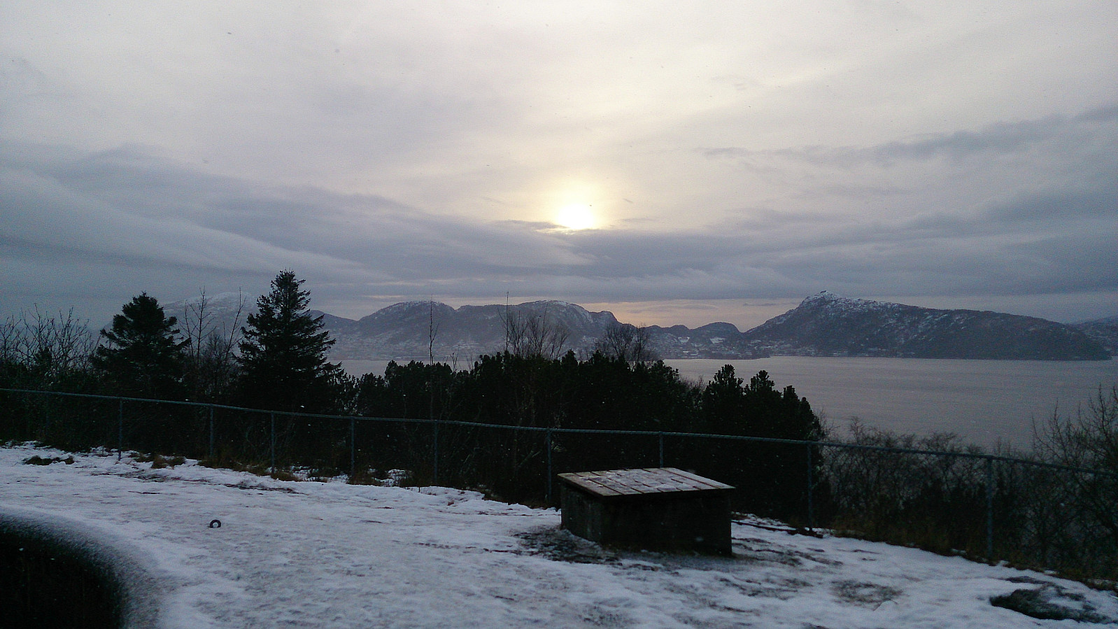
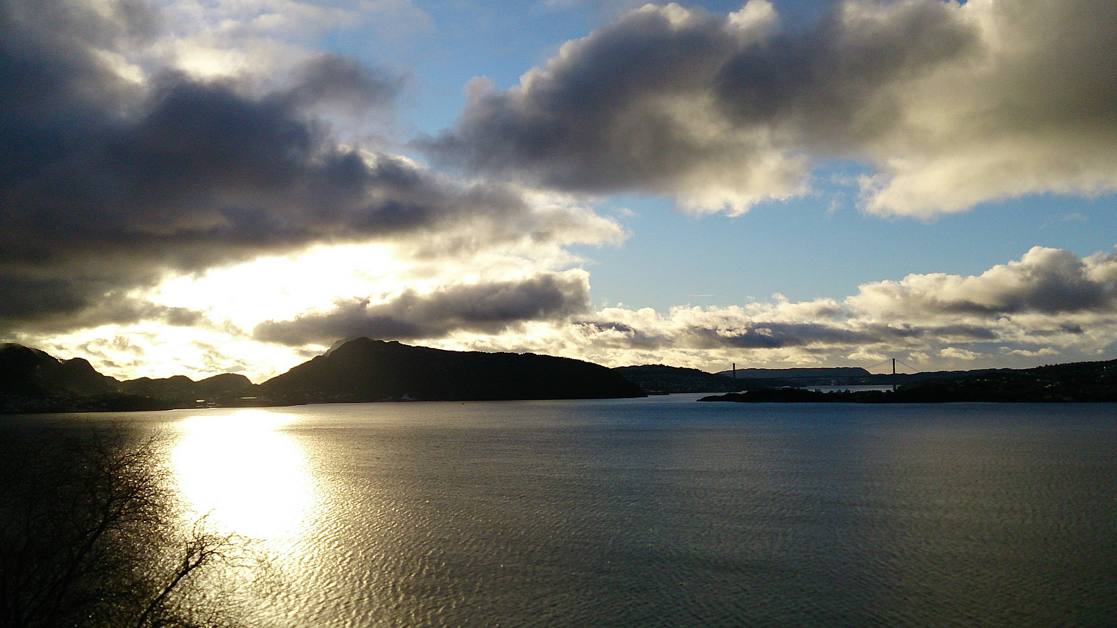
 Short local hike in the rain/snow.
Note that the GPS track was manually created after the hike as my phone had still not recovered from the previous hike...
Short local hike in the rain/snow.
Note that the GPS track was manually created after the hike as my phone had still not recovered from the previous hike...
Helleneset, Biskopshavn and Hellen festning
- Datum:
- 23.12.2017
- Tourcharakter:
- Wanderung
- Tourlänge:
- 1:18h
- Entfernung:
- 6,4km
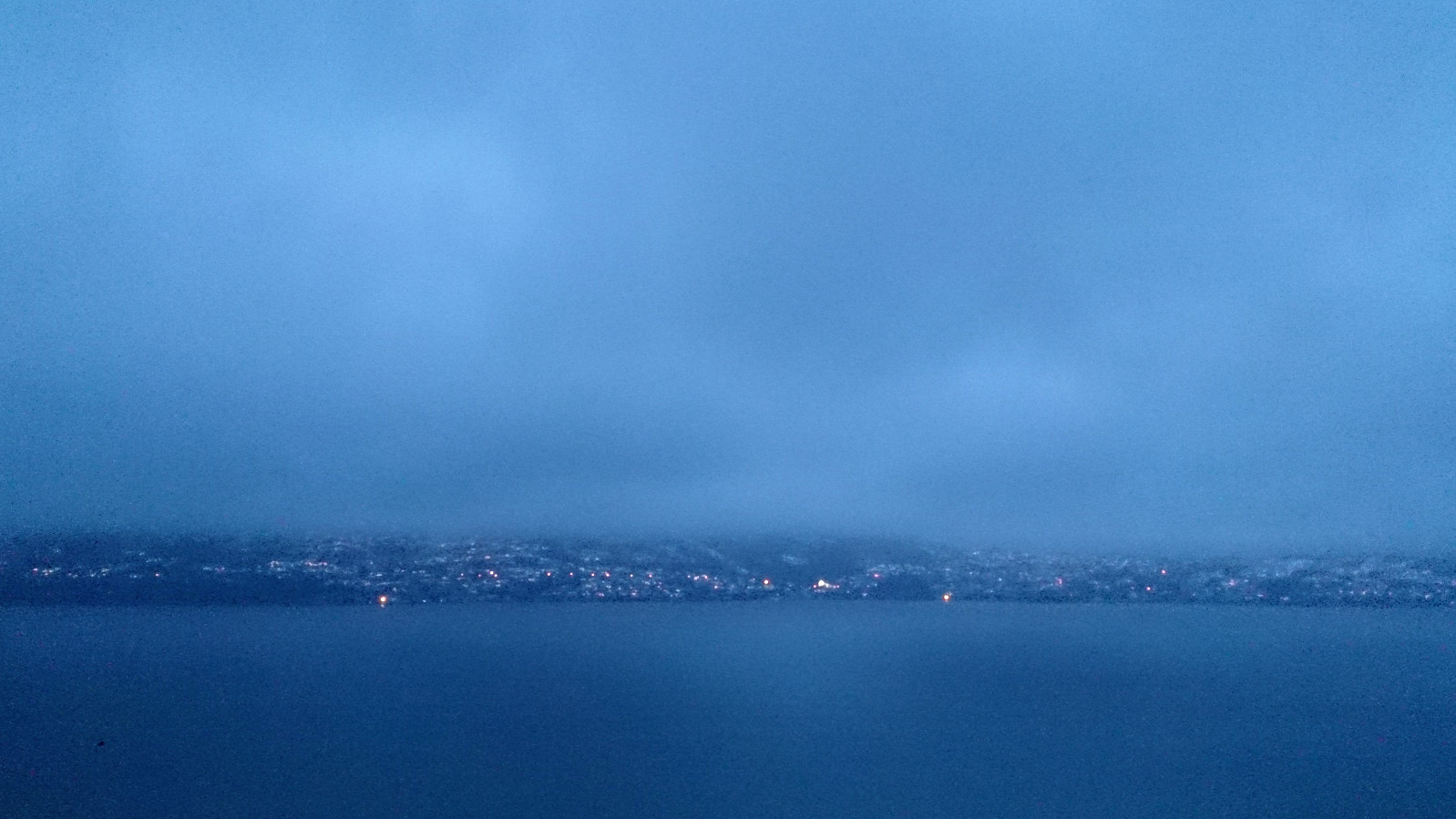
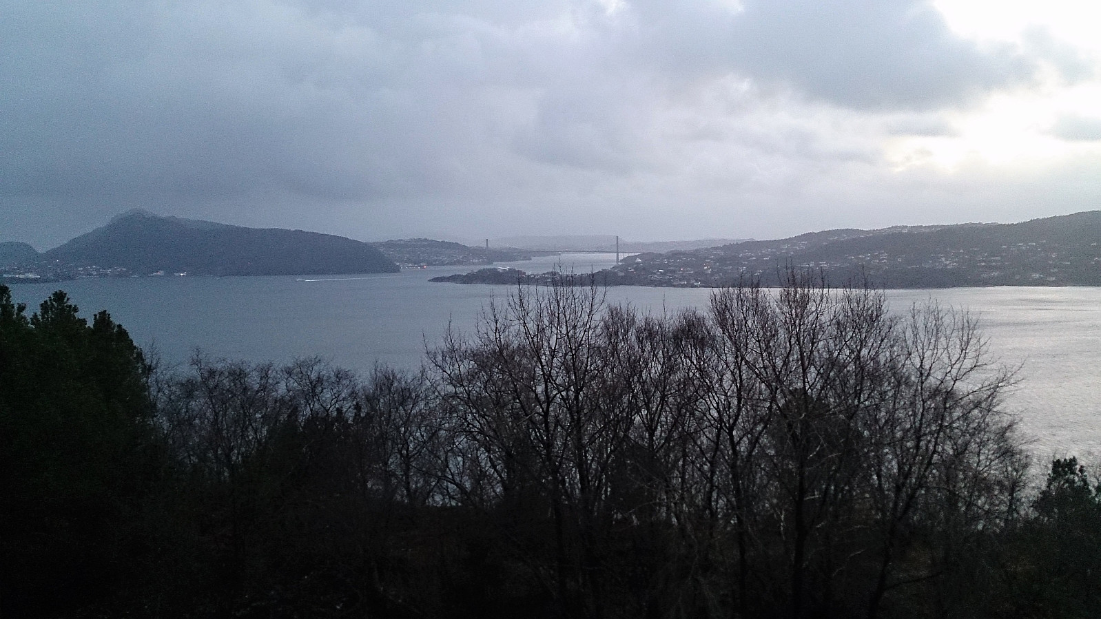
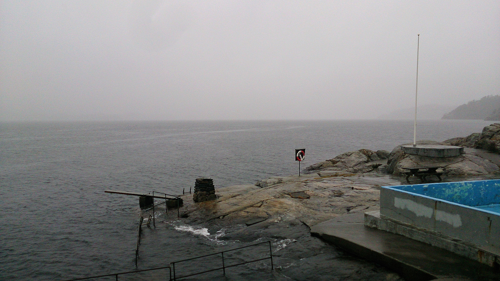 Short local hike due to heavy rain and dense fog. (Note that the GPS tracking was cut short as my phone could not withstand the wet weather and ended up shutting down...)
Across Hellen festning
- Datum:
- 17.12.2017
- Tourcharakter:
- Wanderung
- Tourlänge:
- 1:09h
- Entfernung:
- 4,9km
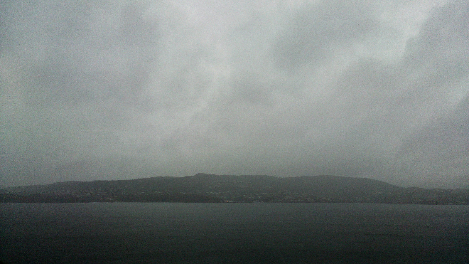
 Short local hike across Hellen festning.
Midtneset and Hellen festning
- Datum:
- 03.12.2017
- Tourcharakter:
- Wanderung
- Tourlänge:
- 1:11h
- Entfernung:
- 5,2km
 Short local hike down to Midtneset and then across Hellen festning.
Down to the sea and then across Hellen festning
- Datum:
- 26.11.2017
- Tourcharakter:
- Wanderung
- Tourlänge:
- 0:38h
- Entfernung:
- 3,6km
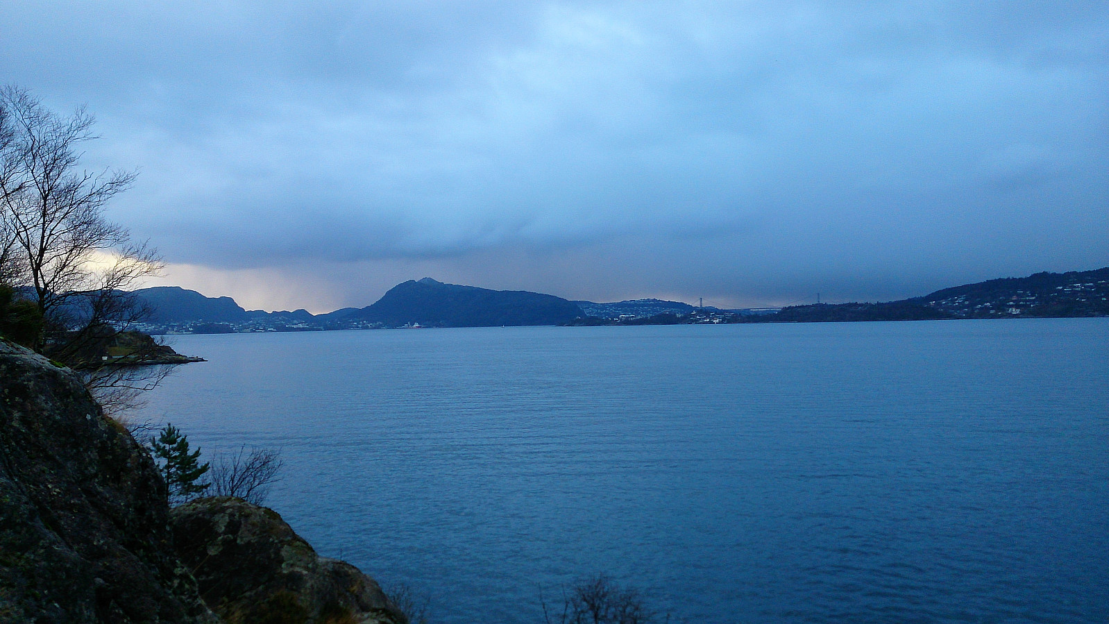
 Short local hike due to rain and fog in the morning and other plans in the afternoon.
Across Hellen festning
- Datum:
- 18.11.2017
- Tourcharakter:
- Wanderung
- Tourlänge:
- 0:33h
- Entfernung:
- 3,1km
 Short local hike across Hellen festing in the rain.
Across Hellen festning
- Datum:
- 04.11.2017
- Tourcharakter:
- Wanderung
- Tourlänge:
- 1:08h
- Entfernung:
- 4,2km
 Short local hike due to bad weather with heavy rain thoughout the day.
Fjellhytten
- Datum:
- 07.10.2017
- Tourcharakter:
- Wanderung
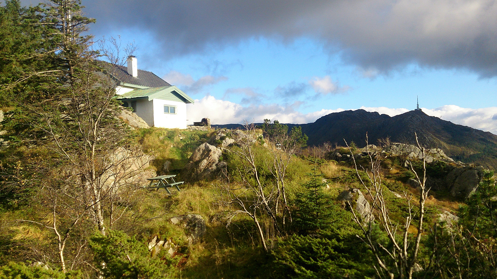 Started from Vetrlidsallmenningen and followed the roads to Skomakerdiket were we took the shortcut to Søre Midtfjellet and Fjellhytten . From Fjellhytten we passed Brushytten on the way down to Munkebotn, before finally ending up in Lønborg.
No GPS-tracking as I for once forgot to start the tracking, probably due to hiking in very familiar territory and thus not really needing the GPS. ;)
Started from Vetrlidsallmenningen and followed the roads to Skomakerdiket were we took the shortcut to Søre Midtfjellet and Fjellhytten . From Fjellhytten we passed Brushytten on the way down to Munkebotn, before finally ending up in Lønborg.
No GPS-tracking as I for once forgot to start the tracking, probably due to hiking in very familiar territory and thus not really needing the GPS. ;)
Hellen festning (Peakbook vs. Norgeskart - Part 1)
- Datum:
- 04.10.2017
- Tourcharakter:
- Wanderung
- Entfernung:
- 3,2km
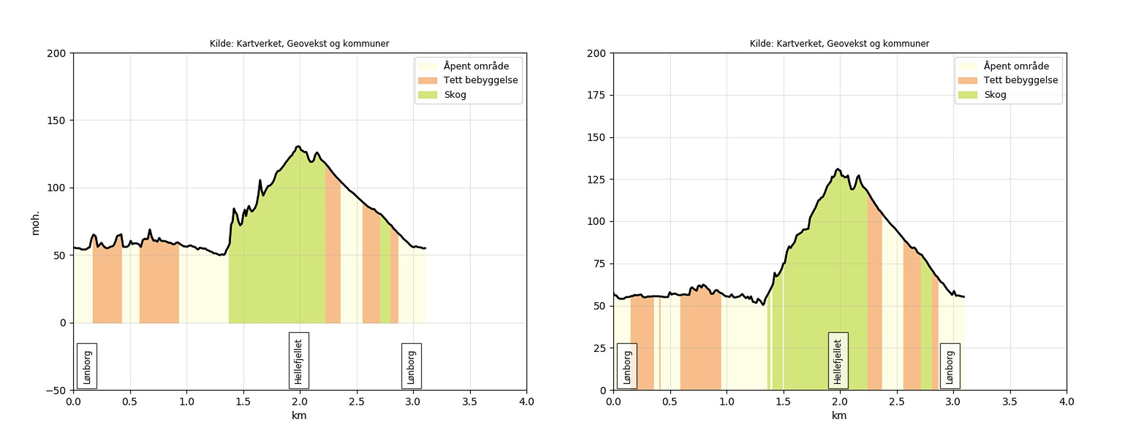 Short hike to test the use of the Peakbook app for GPS tracking. Specifically, to compare the altitude measurements of the two apps.
For a comparison against a very similar hike using the Norgeskart app see: Hellen Festning .
Peakbook app settings:
geoid correction turned on tracking accuracy set to maximum movement recognition turned off Norgeskart app settings:
update interval set to 2 seconds minimum distance between updates set to 2 meters height correction and smoothing of tracks turned on As a general observation, the results from the Peakbook app seems to be more accurate when it comes to altitude, resulting in a more correct measurement of the total number of vertical meters (261 for the Norgeskart app vs. 106 for the Peakbook app). However, the GPS tracking from the Norgeskart app has significantly >>>
Short hike to test the use of the Peakbook app for GPS tracking. Specifically, to compare the altitude measurements of the two apps.
For a comparison against a very similar hike using the Norgeskart app see: Hellen Festning .
Peakbook app settings:
geoid correction turned on tracking accuracy set to maximum movement recognition turned off Norgeskart app settings:
update interval set to 2 seconds minimum distance between updates set to 2 meters height correction and smoothing of tracks turned on As a general observation, the results from the Peakbook app seems to be more accurate when it comes to altitude, resulting in a more correct measurement of the total number of vertical meters (261 for the Norgeskart app vs. 106 for the Peakbook app). However, the GPS tracking from the Norgeskart app has significantly >>>
Sykkel-VM 2017 - Fløyen
- Datum:
- 20.09.2017
- Tourcharakter:
- Wanderung
- Tourlänge:
- 4:04h
- Entfernung:
- 11,5km
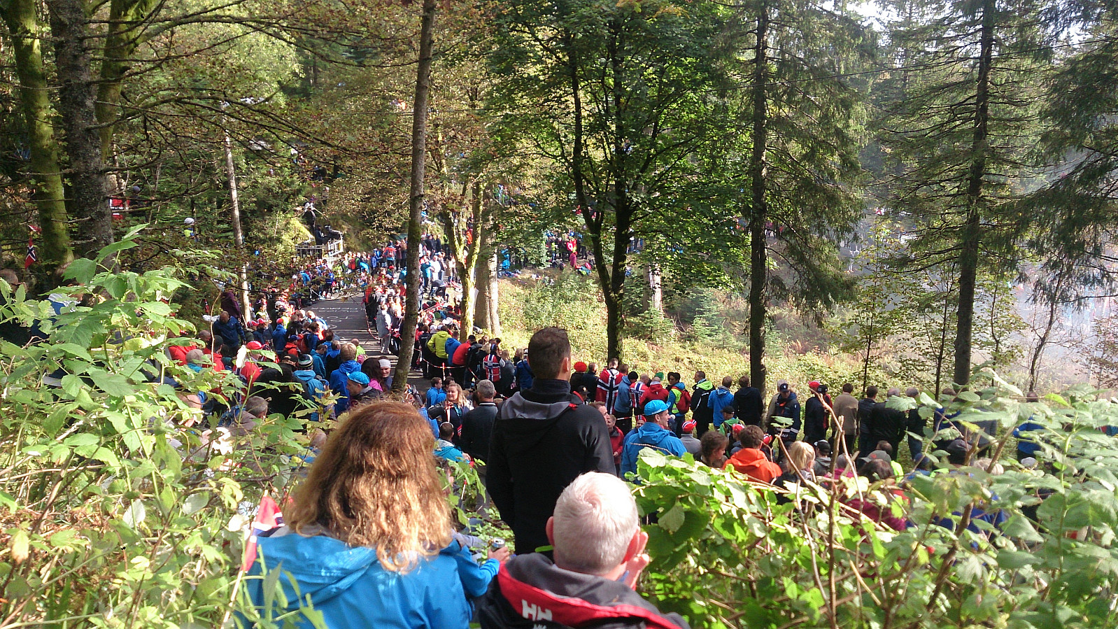 Hike across Fløyen to experience the atmosphere during the individual time trial event with the finishing line at the top of Fløibanen. Significantly longer breaks and a lot more people than on my usual hikes! ;)
