Archiv - Nach Datum
Archiv - Nach Aktivität
-
Andere Tour (3)
- Kayaking (3)
-
Fahrradtour (111)
- Fahrradtour Straße (86)
- Fahrradtour gemischt (25)
-
Fahrzeugtour (9)
- Autotour (9)
-
Fußtour (1897)
- Bergtour (1120)
- Jogging (1)
- Spaziergang (60)
- Wanderung (716)
-
Skitour (116)
- Langlauf (47)
- Tourenskilauf (69)
Gesammelte Listen
-
Utvalgte topper og turmål i Bergen
(349/351)
 99%
99% -
Alle topper i Bergen
(393/400)
98%
-
Voss ≥ 100m pf.
(96/98)
97%
-
Opptur Hordaland
(144/159)
90%
-
Stasjoner på Bergensbanen
(33/40)
82%
-
Ulvik ≥ 100m pf.
(30/38)
78%
-
Hordaland ≥ 100m pf.
(624/863)
72%
-
Mjølfjell PF > 100m
(21/31)
67%
-
Jondal ≥ 100m pf.
(15/23)
65%
-
Dagsturhyttene i Vestland
(36/61)
59%
-
Sunnhordland PF >= 100m
(105/186)
56%
-
Hordaland: Hardanger PF>=100m
(196/359)
54%
-
DNT-hytter i Hordaland
(23/45)
51%
-
Kvinnherad ≥ 100m pf.
(40/79)
50%
-
Eidfjord ≥ 100m pf.
(13/42)
30%
-
Sogndal ≥ 100m pf.
(23/81)
28%
-
Gulen ≥ 100m pf.
(15/54)
27%
-
Vik i Sogn ≥ 100m pf.
(10/46)
21%
-
Sogn - Sør for Sognefjorden PF>=100m
(31/159)
19%
-
DNT-hytter i Sogn og Fjordane
(8/47)
17%

Cycling: Brushytten
- Datum:
- 07.05.2021
- Tourcharakter:
- Fahrradtour gemischt
- Tourlänge:
- 2:00h
- Entfernung:
- 22,2km
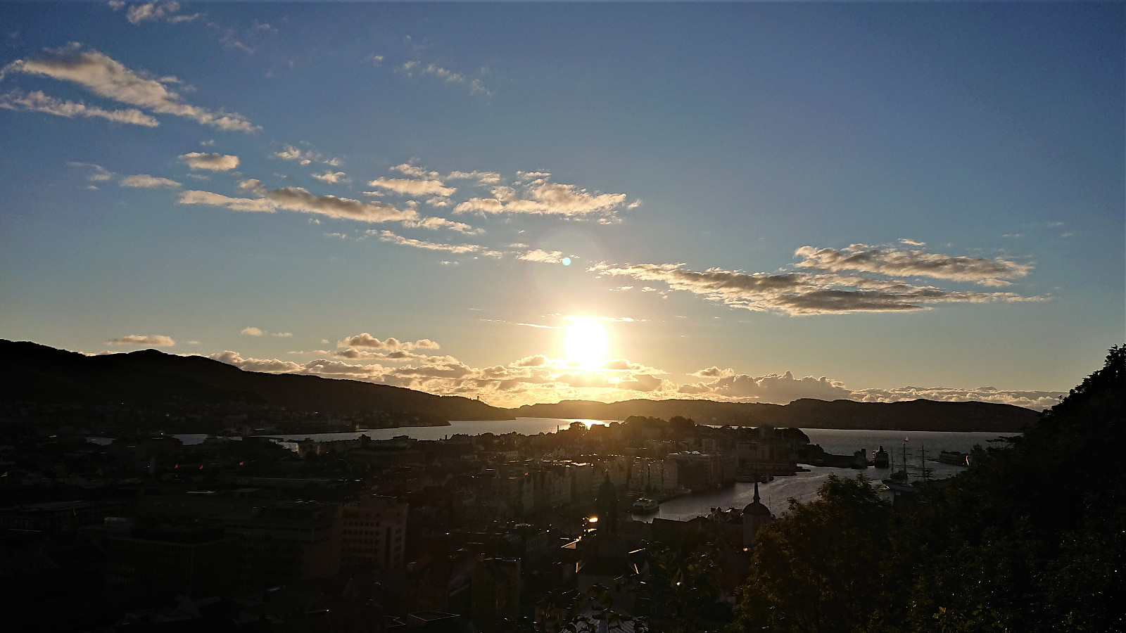
 Evening cycling trip to Brushytten . Ascending via Fjellveien and Skansemyren, and descending via Sandviksfjellet and Munkebotsvatnet.
Cycling: Storakvitefjellet
- Datum:
- 01.05.2021
- Tourcharakter:
- Fahrradtour gemischt
- Tourlänge:
- 5:19h
- Entfernung:
- 67,6km
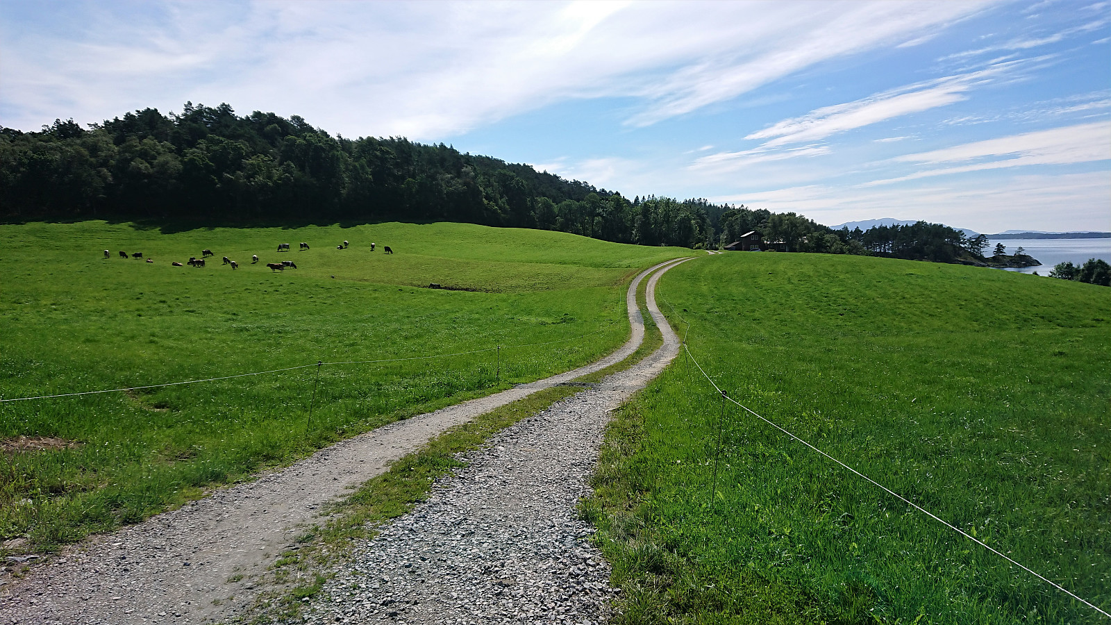
 Cycling trip that also included a visit of Storakvitefjellet . Started by following the standard cycling route to Søfteland, where I turned southwest up the very steep Langedalen. Next, I passed by the ruins at Lysekloster on my way to Lysefjorden and Nordvik. Here I easily located the tractor road taking me to the unmarked trailhead for Storakvitefjellet. In order to get to the trailhead a small stream had to be crossed, but this was straightforward given multiple strategically placed rocks. At the trailhead I left the bike behind and continued towards the summit on foot.
The trail was a bit wet early on, but was overall of good quality and easy to follow. It did however disappear (or perhaps split into multiple options?) when crossing a wet area below the summit, but by then the direction was pretty obvious, and the trail shortly >>>
Cycling trip that also included a visit of Storakvitefjellet . Started by following the standard cycling route to Søfteland, where I turned southwest up the very steep Langedalen. Next, I passed by the ruins at Lysekloster on my way to Lysefjorden and Nordvik. Here I easily located the tractor road taking me to the unmarked trailhead for Storakvitefjellet. In order to get to the trailhead a small stream had to be crossed, but this was straightforward given multiple strategically placed rocks. At the trailhead I left the bike behind and continued towards the summit on foot.
The trail was a bit wet early on, but was overall of good quality and easy to follow. It did however disappear (or perhaps split into multiple options?) when crossing a wet area below the summit, but by then the direction was pretty obvious, and the trail shortly >>>
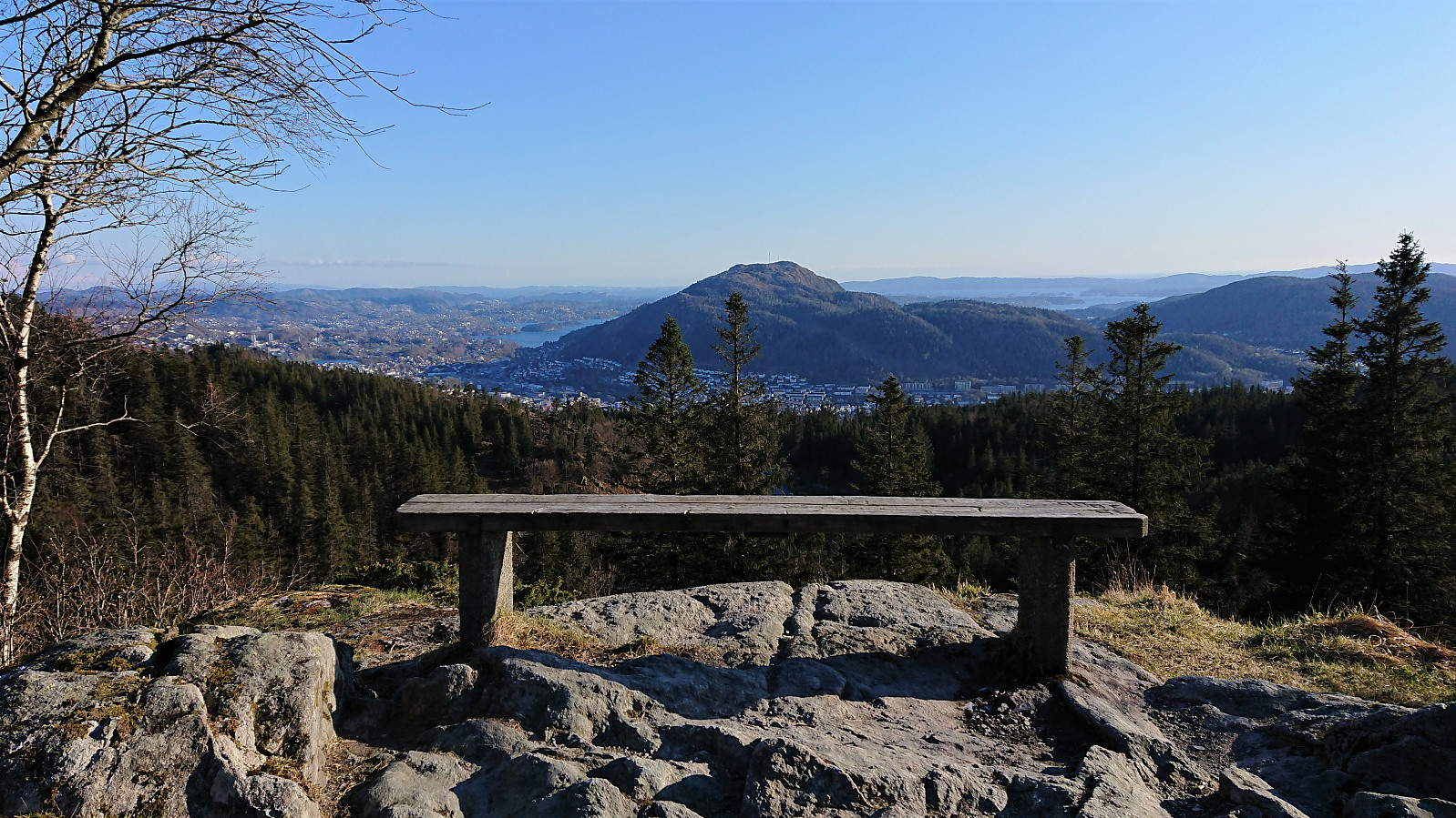
Cycling: Mindebakkentoppen
- Datum:
- 28.04.2021
- Tourcharakter:
- Fahrradtour gemischt
- Tourlänge:
- 2:39h
- Entfernung:
- 29,0km
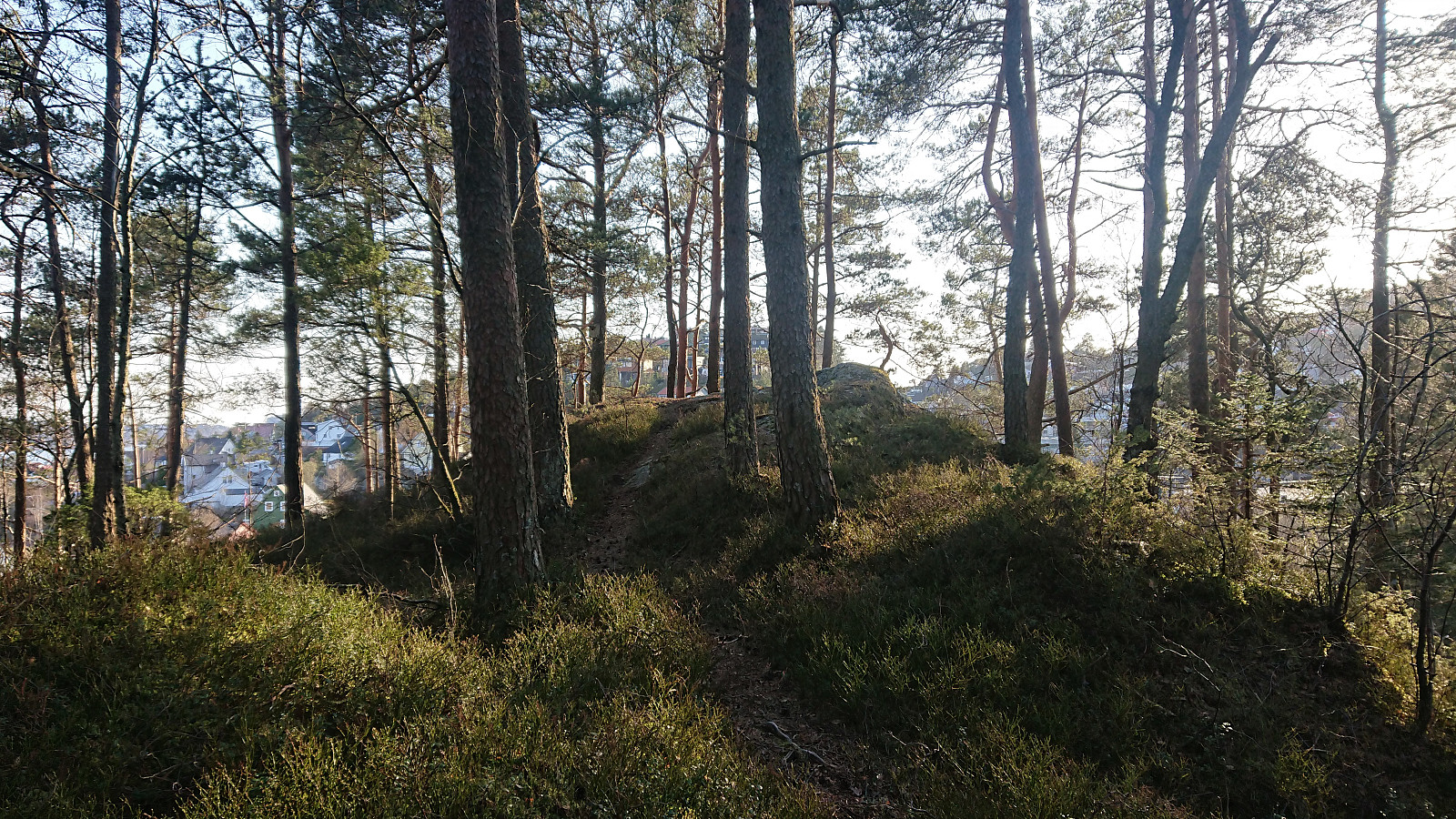
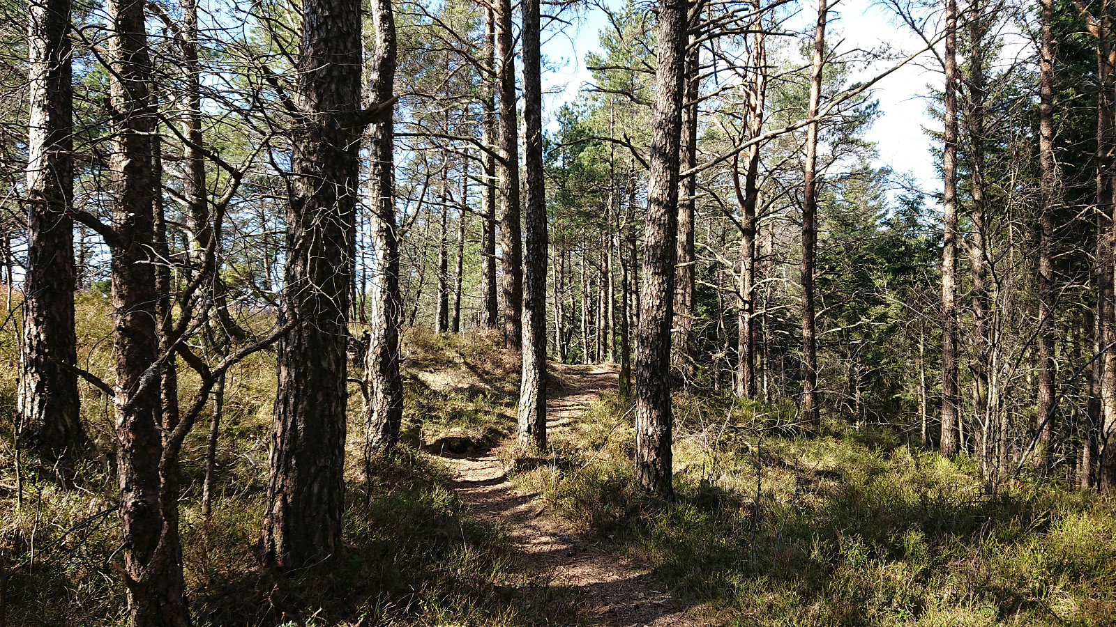
 Evening cycling and hiking trip for a visit of Mindebakkentoppen . I left the bike behind at the bend in Løvstien north of Lisahaugen , from where I continued on foot along a very enjoyable trail marked for Løvstakken . The trail followed a relatively narrow pine-covered ridge which at times even requiring a bit of very light scrambling.
Shortly after passing Langatjørna, I turned east towards the summit. First along a weak trail, and later in a more direct route requiring light scrambling. Not sure if I lost the trail or if the scrambling was indeed part of the trail. At the summit ridge there was however a very clear north-south trail, indicating that my ascent route is probably not the most common option. (More on the history of Mindebakken can be found here and here .)
After a quick visit to the summit, which provided very limited views, >>>
Evening cycling and hiking trip for a visit of Mindebakkentoppen . I left the bike behind at the bend in Løvstien north of Lisahaugen , from where I continued on foot along a very enjoyable trail marked for Løvstakken . The trail followed a relatively narrow pine-covered ridge which at times even requiring a bit of very light scrambling.
Shortly after passing Langatjørna, I turned east towards the summit. First along a weak trail, and later in a more direct route requiring light scrambling. Not sure if I lost the trail or if the scrambling was indeed part of the trail. At the summit ridge there was however a very clear north-south trail, indicating that my ascent route is probably not the most common option. (More on the history of Mindebakken can be found here and here .)
After a quick visit to the summit, which provided very limited views, >>>
Cycling: Nordåsvatnet and Storrinden
- Datum:
- 25.04.2021
- Tourcharakter:
- Fahrradtour Straße
- Tourlänge:
- 4:12h
- Entfernung:
- 52,5km
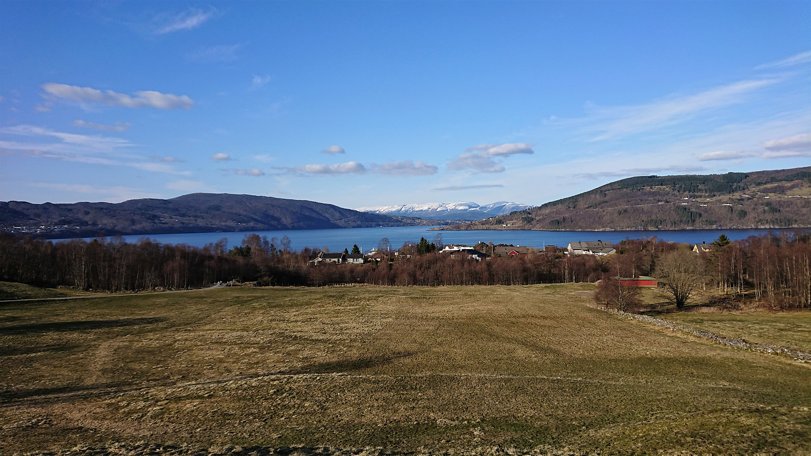
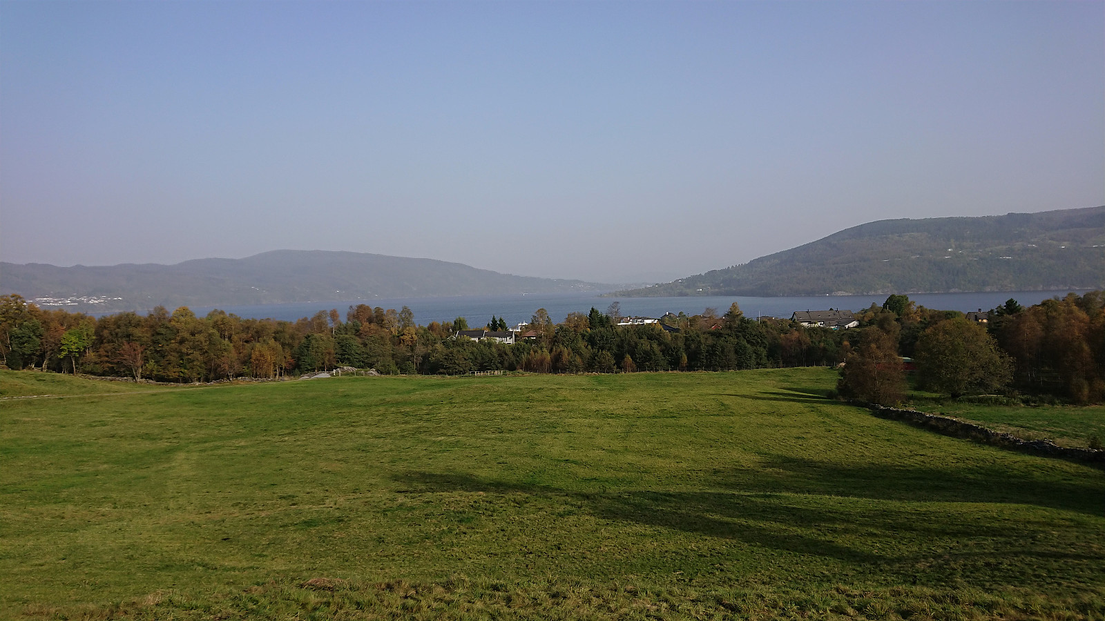
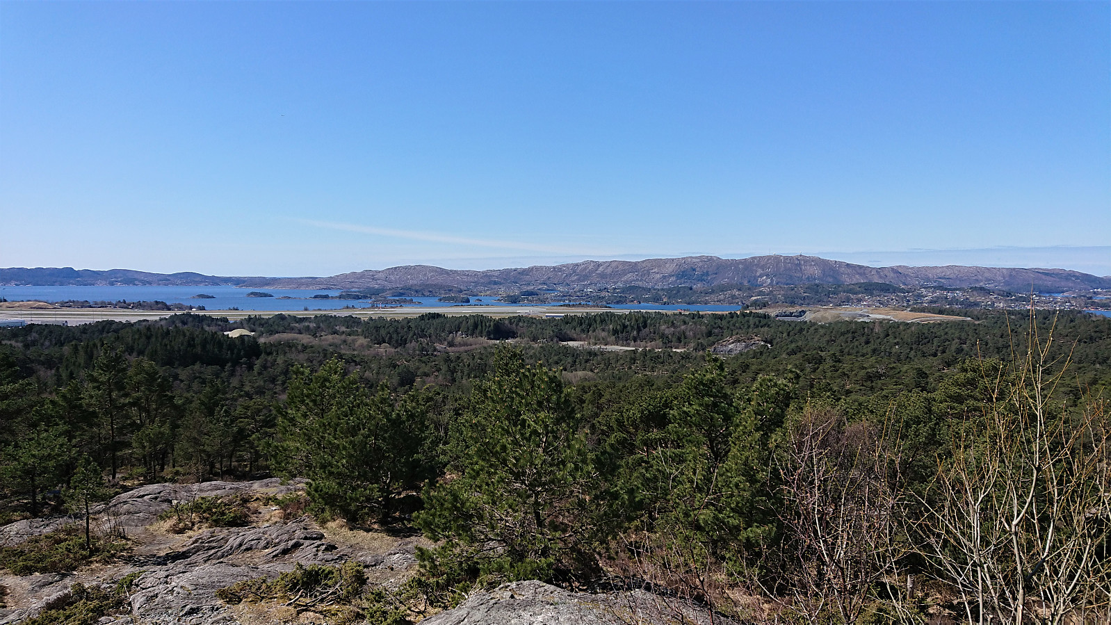 Cycling trip around Nordåsvatnet that included a revisit of Storrinden and the excellent views from southwest of the summit . When descending from Storrinden I made a quick detour on foot to Dolvikfjellet , easily reached via a marked trail, although the views from the summit were limited. Before starting my return journey, I made a short visit of Skranehovden , ascending from the northwest (again leaving the bike behind), thus avoiding the feeling of going through someone's backyard that the ascent from the south seemed to include. To my surprise the small hill was packed with people enjoying the nice weather, most likely as the forested summit area provided shelter from the cold northerly wind. But all the trees also meant that the views were rather limited, however some very nice views towards Knappen and Lyderhorn could be obtained if heading north of the summit.
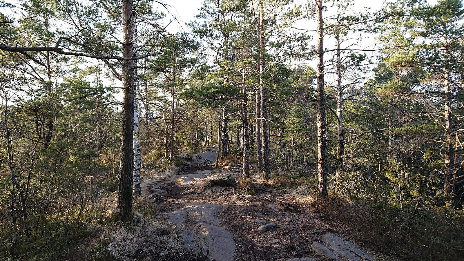
Cycling: Casperkollen
- Datum:
- 19.04.2021
- Tourcharakter:
- Fahrradtour Straße
- Tourlänge:
- 2:04h
- Entfernung:
- 28,0km
 Evening cycling trip to Casperkollen , a small hill that had recently been added as its own PB-element (after my earlier visit to the area to ascend Lerkhaugen and Lisahaugen ). I left the bike just north of the summit and completed the last 50 meters on foot. To my surprise there were trails all over the small hill, even to the summit itself. Rather limited views due to all the trees though. Casperkollen is not really worth a trip on its own, but worked fine as a goal for where to go cycling.
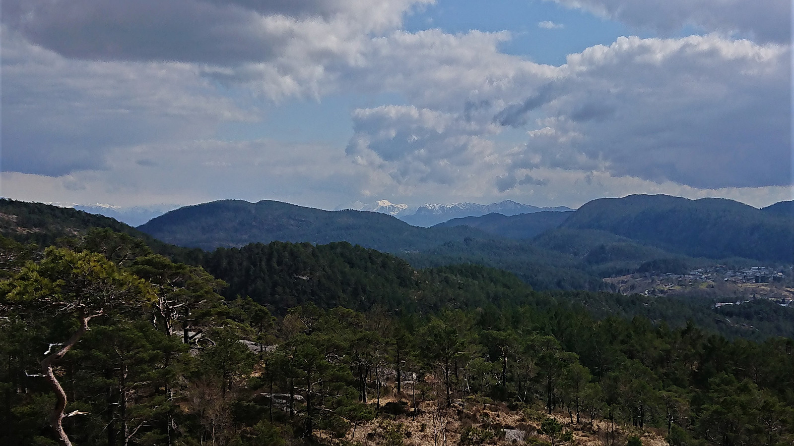
Cycling: Kalandsvatnet and Tereleitet
- Datum:
- 17.04.2021
- Tourcharakter:
- Fahrradtour gemischt
- Tourlänge:
- 4:36h
- Entfernung:
- 62,7km
 In order to spice up the standard cycling trip around Kalandsvatnet, I decided to also include a visit of Tereleitet . I stayed on the bike all the way until the crossroads in the forest/gravel road east of the summit (even though this included traversing a couple of patches of snow), and from there covered the last approximately 500 meters on foot along a marked trail. The summit provided better views than expected, with the highlight being the snow-covered Hausdalshorga (and the rest of the Gullfjellet area) in the far distance.
Cycling: Salhus Roundtrip
- Datum:
- 15.04.2021
- Tourcharakter:
- Fahrradtour Straße
- Tourlänge:
- 2:12h
- Entfernung:
- 36,8km
 The first cycling trip of 2021! A bit cold in the shade, especially when descending at higher speeds, but overall very nice.
Cycling: Orrsåta and Hoplandsfjellet
- Datum:
- 03.10.2020
- Tourcharakter:
- Fahrradtour Straße
- Tourlänge:
- 6:01h
- Entfernung:
- 61,7km
 With weather forecasts of strong winds at high altitudes on an otherwise unusually warm October day, my initial hiking plans were replaced by a cycling trip to Holsnøy for short visits of Orrsåta and Hoplandsfjellet .
Cycling: Eidsvågneset and Fjellveien
- Datum:
- 27.08.2020
- Tourcharakter:
- Fahrradtour Straße
- Tourlänge:
- 1:33h
- Entfernung:
- 22,4km
 Short evening cycling trip.
Cycling: Skjønhammaren and Høgafjellet
- Datum:
- 31.07.2020
- Tourcharakter:
- Fahrradtour gemischt
- Tourlänge:
- 12:07h
- Entfernung:
- 106,8km
 On the last weekday of my summer holiday I decided to go for another ambitious cycling trip. Yet again starting by bringing my bike with me on the express ferry to Malkenes and following the now common route along the lovely Onarheimsfjorden. However this time the plan was to continue all the way to the southern tip of Tysnesøya and Hodnaneset, and then take the ferry to Nordhuglo.
I had perhaps underestimated the time it would take me to reach Hodnaneset though, and with a ferry to catch I had to push in order to make sure get there in time. In the end I made it with less than ten minutes to spare, and after boarding the ferry I could finally take my first real break. Which was made even longer by the ferry first heading to Jektavik (at Stord) before turning southeast for Nordhuglo.
At Nordhuglo, >>>
On the last weekday of my summer holiday I decided to go for another ambitious cycling trip. Yet again starting by bringing my bike with me on the express ferry to Malkenes and following the now common route along the lovely Onarheimsfjorden. However this time the plan was to continue all the way to the southern tip of Tysnesøya and Hodnaneset, and then take the ferry to Nordhuglo.
I had perhaps underestimated the time it would take me to reach Hodnaneset though, and with a ferry to catch I had to push in order to make sure get there in time. In the end I made it with less than ten minutes to spare, and after boarding the ferry I could finally take my first real break. Which was made even longer by the ferry first heading to Jektavik (at Stord) before turning southeast for Nordhuglo.
At Nordhuglo, >>>
