Archiv - Nach Datum
Archiv - Nach Aktivität
-
Andere Tour (3)
- Kayaking (3)
-
Fahrradtour (111)
- Fahrradtour Straße (86)
- Fahrradtour gemischt (25)
-
Fahrzeugtour (9)
- Autotour (9)
-
Fußtour (1897)
- Bergtour (1120)
- Jogging (1)
- Spaziergang (60)
- Wanderung (716)
-
Skitour (116)
- Langlauf (47)
- Tourenskilauf (69)
Gesammelte Listen
-
Utvalgte topper og turmål i Bergen
(349/351)
 99%
99% -
Alle topper i Bergen
(393/400)
98%
-
Voss ≥ 100m pf.
(96/98)
97%
-
Opptur Hordaland
(144/159)
90%
-
Stasjoner på Bergensbanen
(33/40)
82%
-
Ulvik ≥ 100m pf.
(30/38)
78%
-
Hordaland ≥ 100m pf.
(624/863)
72%
-
Mjølfjell PF > 100m
(21/31)
67%
-
Jondal ≥ 100m pf.
(15/23)
65%
-
Dagsturhyttene i Vestland
(36/61)
59%
-
Sunnhordland PF >= 100m
(105/186)
56%
-
Hordaland: Hardanger PF>=100m
(196/359)
54%
-
DNT-hytter i Hordaland
(23/45)
51%
-
Kvinnherad ≥ 100m pf.
(40/79)
50%
-
Eidfjord ≥ 100m pf.
(13/42)
30%
-
Sogndal ≥ 100m pf.
(23/81)
28%
-
Gulen ≥ 100m pf.
(15/54)
27%
-
Vik i Sogn ≥ 100m pf.
(10/46)
21%
-
Sogn - Sør for Sognefjorden PF>=100m
(31/159)
19%
-
DNT-hytter i Sogn og Fjordane
(8/47)
17%

Cycling: Mørkadalsfjellet, Gåsafjellet and Bergesfjellet
- Datum:
- 28.07.2022
- Tourcharakter:
- Fahrradtour Straße
- Tourlänge:
- 7:31h
- Entfernung:
- 72,9km
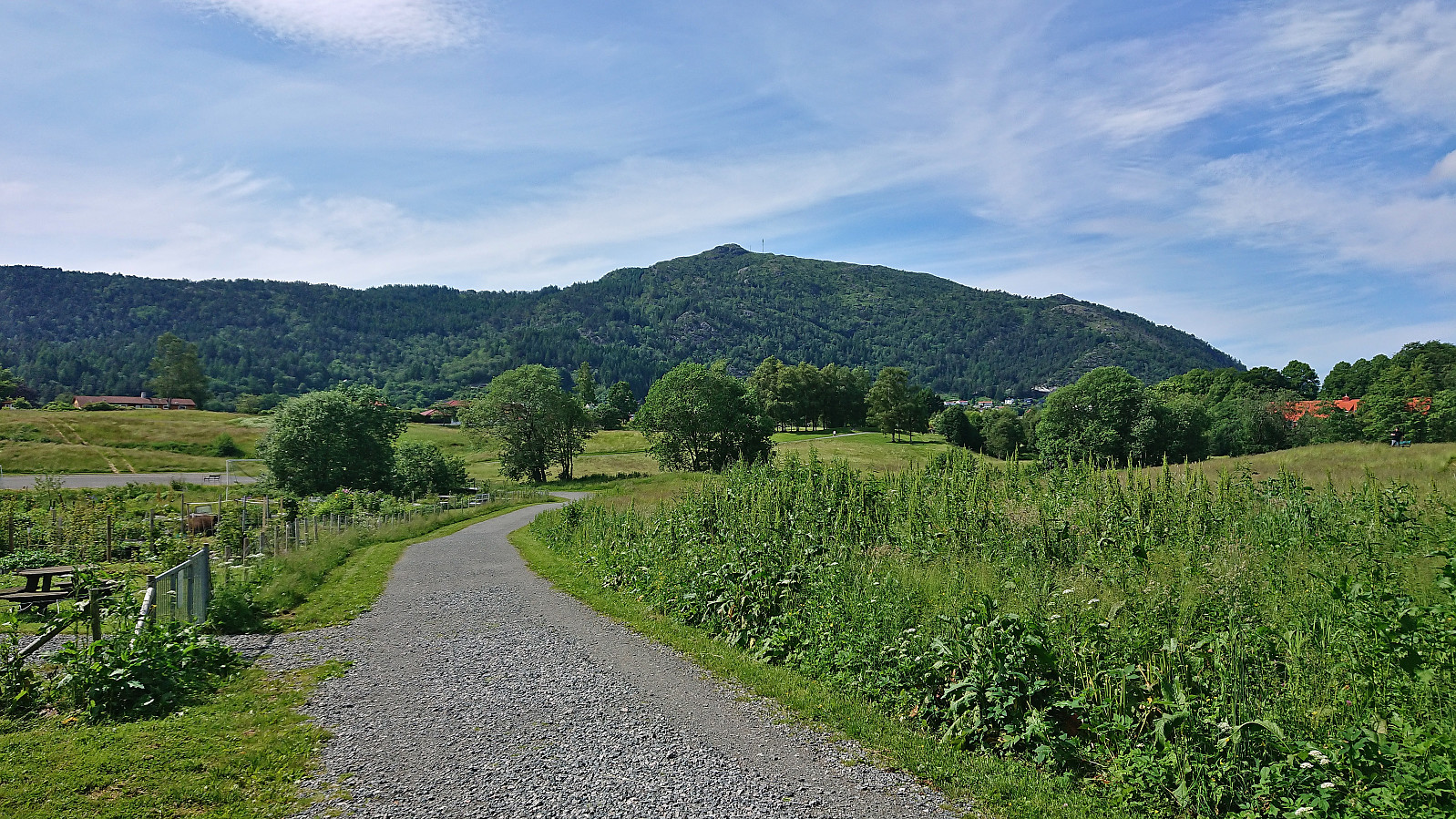
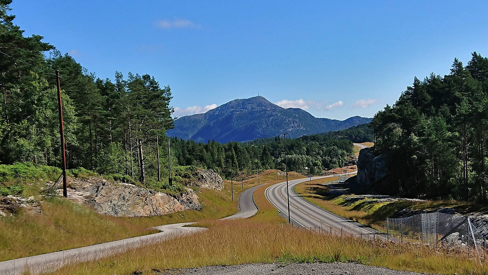 After last summer's successful cycling trip to Bømlo it was finally time for a repeat. This time with three new targets in mind and a tight schedule to follow. I again started by cycling to Strandkaien in Bergen, from where I took the high-speed ferry to Rubbestadneset. Here I started the GPS tracking and headed south along the roads to Langevåg and onwards to the marked trailhead for Mørkadalsfjellet next to Kalavåg. See the separate trip report for the ascent to Mørkadalsfjellet here .
Back on the bike, I cycled the short distance northeast to the unmarked trailhead for Gåsafjellet next to Vedvikevatnet. See the separate trip report for Gåsafjellet here .
The final goal of the day, besides getting back to Rubbestadneset in time for the boat, was Bergesfjellet . Upon returning to my bike I therefore first returned southwest before heading north to Berge where I easily located the marked >>>
After last summer's successful cycling trip to Bømlo it was finally time for a repeat. This time with three new targets in mind and a tight schedule to follow. I again started by cycling to Strandkaien in Bergen, from where I took the high-speed ferry to Rubbestadneset. Here I started the GPS tracking and headed south along the roads to Langevåg and onwards to the marked trailhead for Mørkadalsfjellet next to Kalavåg. See the separate trip report for the ascent to Mørkadalsfjellet here .
Back on the bike, I cycled the short distance northeast to the unmarked trailhead for Gåsafjellet next to Vedvikevatnet. See the separate trip report for Gåsafjellet here .
The final goal of the day, besides getting back to Rubbestadneset in time for the boat, was Bergesfjellet . Upon returning to my bike I therefore first returned southwest before heading north to Berge where I easily located the marked >>>
Cycling: Storetveit, Fjellveien and Hellemyrstien
- Datum:
- 23.07.2022
- Tourcharakter:
- Fahrradtour gemischt
- Tourlänge:
- 3:06h
- Entfernung:
- 33,8km
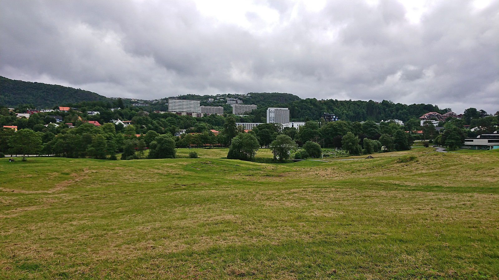 After spending three of the last four days hiking with Petter in various parts of Modalen, I today switched to cycling. First exploring new parts of Storetveit, before following Fjellveien and Hellemyrstien home to Lønborg.
Cycling: Fjordstien and Stedjeberget
- Datum:
- 15.07.2022
- Tourcharakter:
- Fahrradtour Straße
- Tourlänge:
- 2:49h
- Entfernung:
- 15,0km
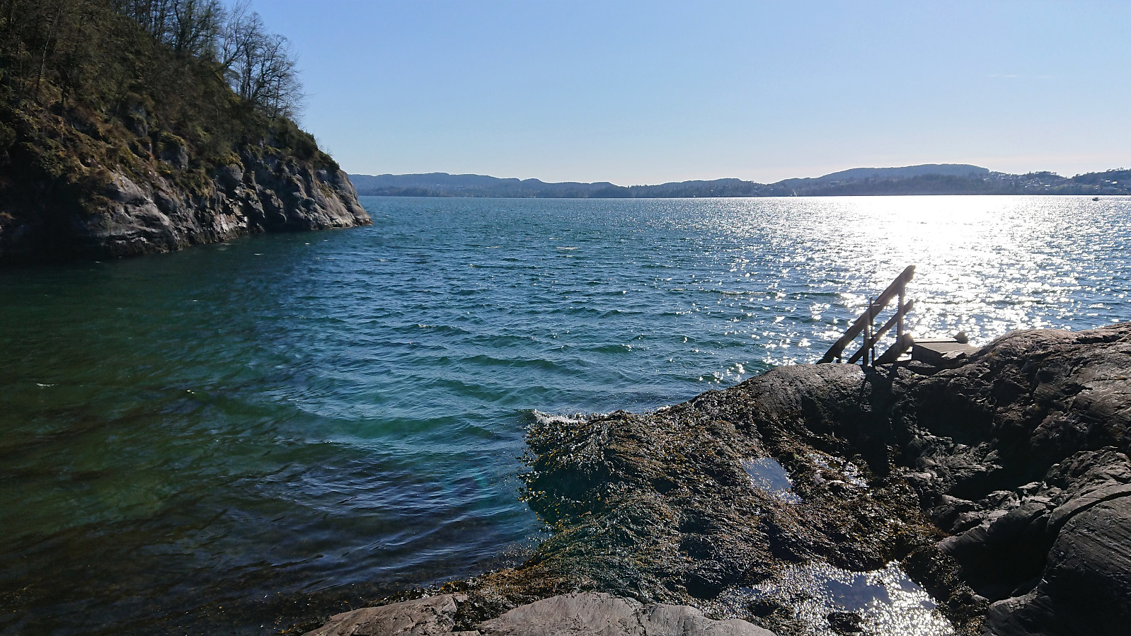
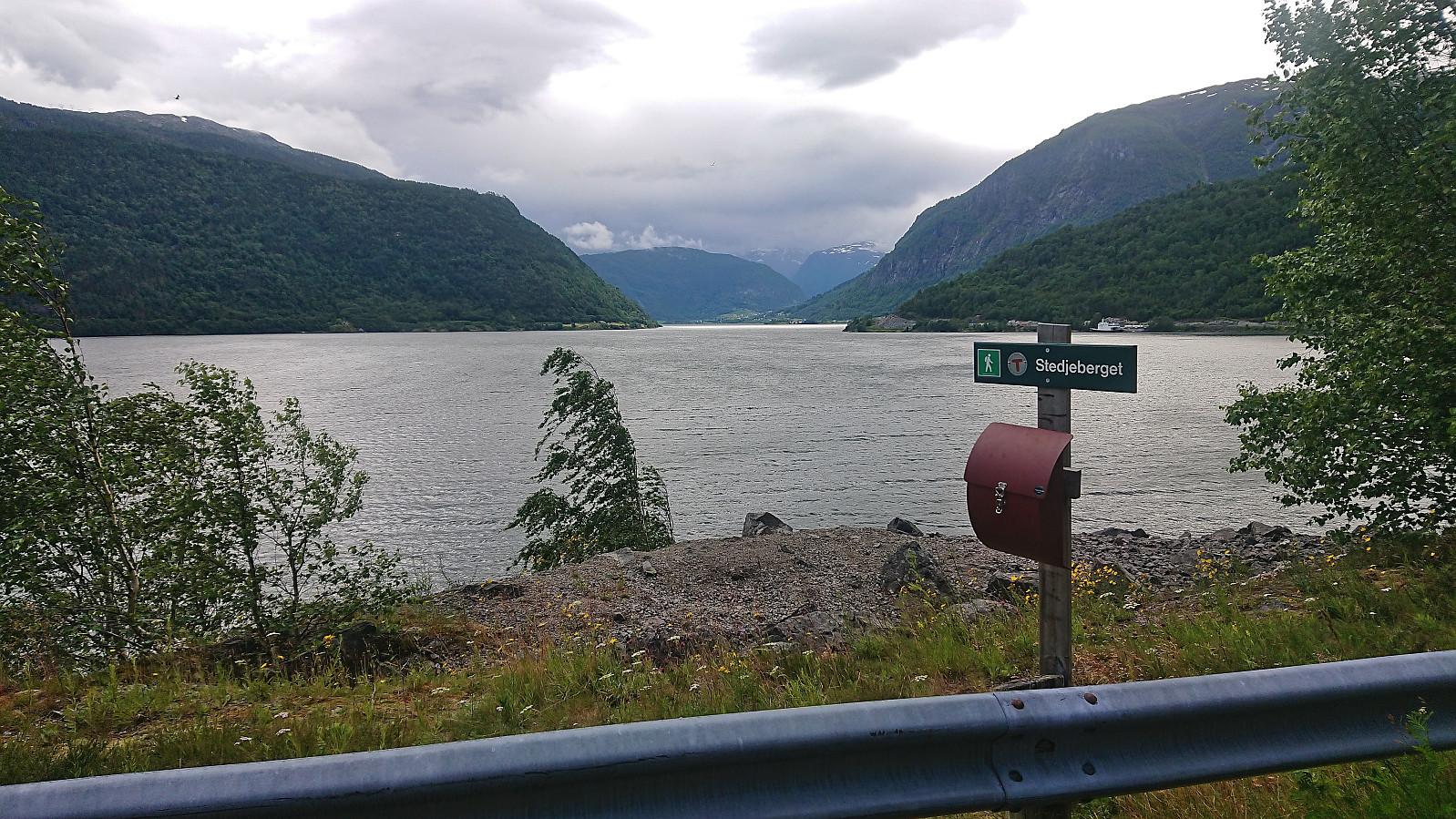 Short cycling trip along Fjordstien to Stedjeberget turpostkasse .
Cycling: Smetthaugane, Småhaugene and Store Stuthaugen
- Datum:
- 29.06.2022
- Tourcharakter:
- Fahrradtour gemischt
- Tourlänge:
- 7:19h
- Entfernung:
- 74,4km
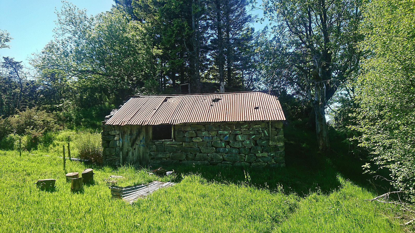
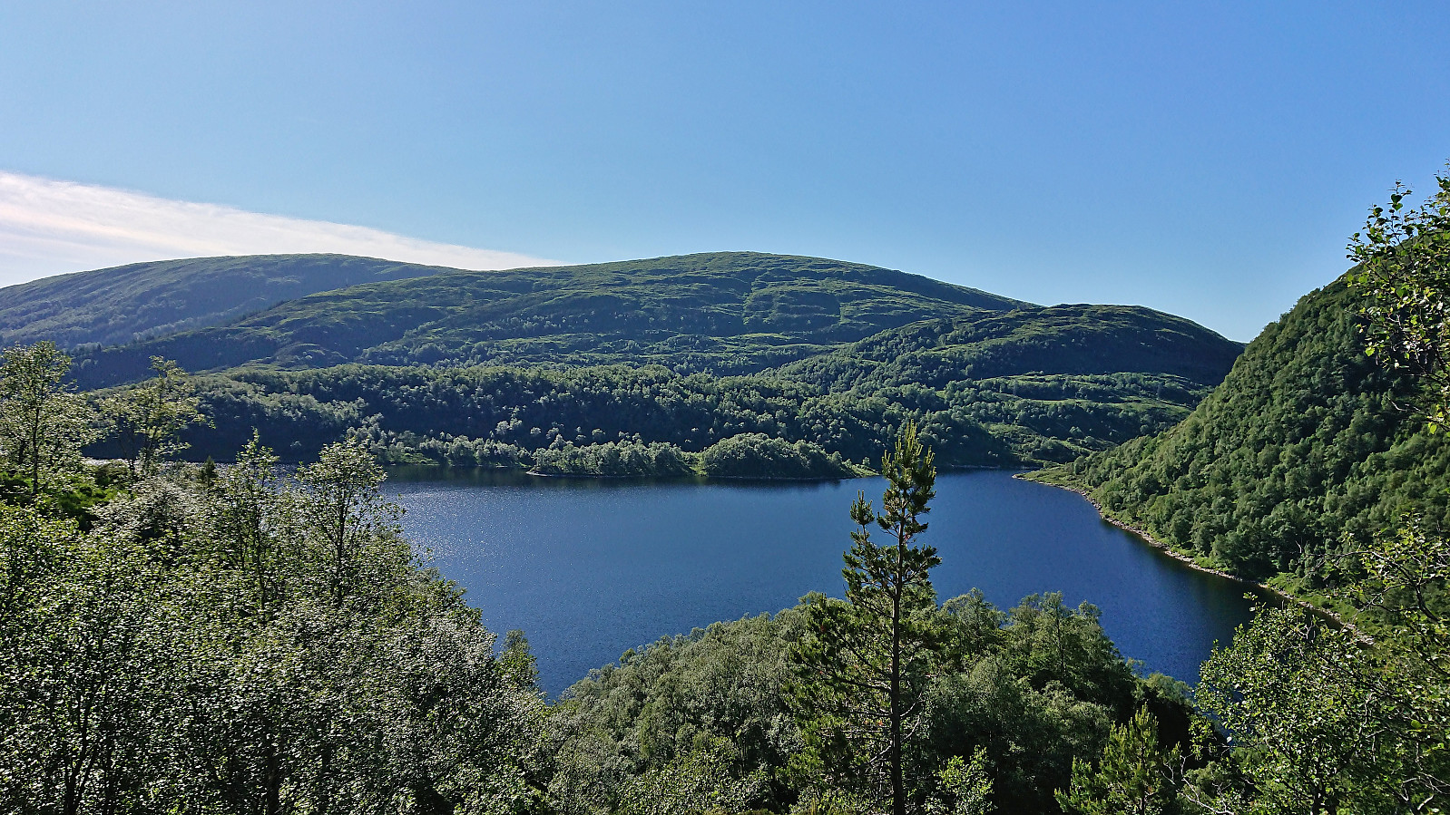 Left work early to take advantage of the last part of a warm summer day for a cycling trip to Osavatnet with the goal of visiting Nordnuken , yet another minor summit on the Alle topper i Bergen list. Shortly after leaving my bike behind where the gravel-covered path ended south of the summit it however became clear that the ascent to Nordnuken did not look very inviting and was not the most compatible with shorts and t-shirt. I therefore changed my plans and instead went for a trip around Svartavatnet with short detours to the minor summits of Smetthaugane , Småhaugane and, with an additional detour via Redningshytten , Store Stuthaugen .
Each of the minor summits could easily be reached and only required short detours from the trail. The trail between Smetthaugane and Småhaugane was however quite weak and I ended up losing it when crossing the stream coming down from Glamregjelet >>>
Left work early to take advantage of the last part of a warm summer day for a cycling trip to Osavatnet with the goal of visiting Nordnuken , yet another minor summit on the Alle topper i Bergen list. Shortly after leaving my bike behind where the gravel-covered path ended south of the summit it however became clear that the ascent to Nordnuken did not look very inviting and was not the most compatible with shorts and t-shirt. I therefore changed my plans and instead went for a trip around Svartavatnet with short detours to the minor summits of Smetthaugane , Småhaugane and, with an additional detour via Redningshytten , Store Stuthaugen .
Each of the minor summits could easily be reached and only required short detours from the trail. The trail between Smetthaugane and Småhaugane was however quite weak and I ended up losing it when crossing the stream coming down from Glamregjelet >>>
Cycling: Landås and Fjellveien
- Datum:
- 25.06.2022
- Tourcharakter:
- Fahrradtour Straße
- Tourlänge:
- 2:17h
- Entfernung:
- 28,7km
 Bike trip exploring different parts of Landås before returning via Fjellveien.
Cycling: Håsteinen and Slettåsen
- Datum:
- 06.06.2022
- Tourcharakter:
- Fahrradtour Straße
- Tourlänge:
- 4:59h
- Entfernung:
- 58,1km
 After two days of hiking, I switched to cycling for the last day of the long weekend and I went for a trip to Hjellestad with the added bonus of also making a quick visit of Slettåsen - a minor peak on the Alle topper i Bergen list. I left the bike behind at the unmarked trailhead northeast of the summit. The trail quality was highly variable, especially for the later return, but (at least the start) the wet areas were covered by planks or pallets. From Kjell51 (Kjell Øijorden) 's trip report , I had gotten the tip to also visit Håsteinen . So when a sign for Håsteinen showed up, I followed a trail to a location that provided great views, especially for only being 45 meters above sea level.
Next, I followed various trails towards Slettåsen, even passing a sign for Slettåsen. But there was no trail and the highest point was slightly further south anyway. As it turned >>>
After two days of hiking, I switched to cycling for the last day of the long weekend and I went for a trip to Hjellestad with the added bonus of also making a quick visit of Slettåsen - a minor peak on the Alle topper i Bergen list. I left the bike behind at the unmarked trailhead northeast of the summit. The trail quality was highly variable, especially for the later return, but (at least the start) the wet areas were covered by planks or pallets. From Kjell51 (Kjell Øijorden) 's trip report , I had gotten the tip to also visit Håsteinen . So when a sign for Håsteinen showed up, I followed a trail to a location that provided great views, especially for only being 45 meters above sea level.
Next, I followed various trails towards Slettåsen, even passing a sign for Slettåsen. But there was no trail and the highest point was slightly further south anyway. As it turned >>>
Cycling: Salhus Roundtrip
- Datum:
- 17.05.2022
- Tourcharakter:
- Fahrradtour Straße
- Tourlänge:
- 2:15h
- Entfernung:
- 36,9km
 Evening cycling trip around Salhus after spending the first half of the day celebrating the 17th of May in the city center.
Cycling: Salhus Roundtrip
- Datum:
- 30.04.2022
- Tourcharakter:
- Fahrradtour Straße
- Tourlänge:
- 2:33h
- Entfernung:
- 37,9km
 The usual cycling trip around Salhus with a minor detour to the top of Stallkleiven.
Cycling: Salhus Roundtrip
- Datum:
- 18.04.2022
- Tourcharakter:
- Fahrradtour Straße
- Tourlänge:
- 2:32h
- Entfernung:
- 39,2km
 The first cycling trip of 2022! I did the usual trip around Salhus, only adding a minor detour to Storåkervika .
Cycling: Storahugen
- Datum:
- 19.09.2021
- Tourcharakter:
- Fahrradtour Straße
- Tourlänge:
- 2:19h
- Entfernung:
- 32,2km
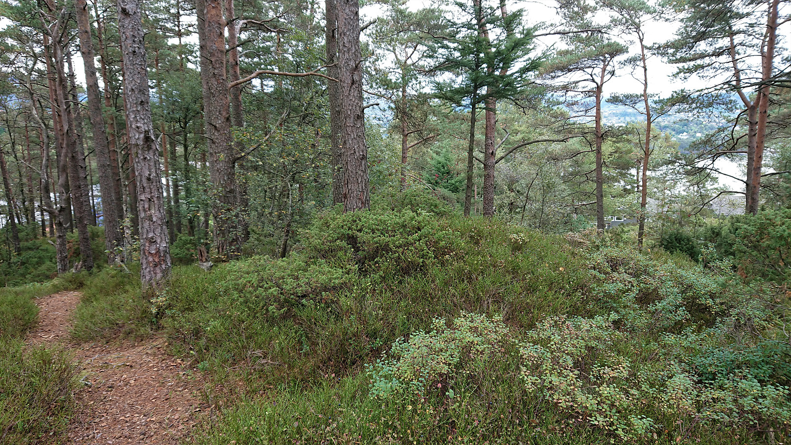 Short bike trip with the main objective of visiting Storahugen , yet another new minor peak on the Alle topper i Bergen list. Not much to say about this one. Limited views, but at least it can be easily accessed via a trail from the north. And getting to the trailhead by bike was straightforward, which overall made for a more interesting trip. When at the summit I also noticed that there are plenty of other small named hills in the area. So I have a feeling I'll be coming back when more of these are added to the Alle topper i Bergen list. But given that I had not in advanced looked into whether any of these could be easily accessed or not, this would have to wait.
