Archiv - Nach Datum
Archiv - Nach Aktivität
-
Andere Tour (3)
- Kayaking (3)
-
Fahrradtour (108)
- Fahrradtour Straße (83)
- Fahrradtour gemischt (25)
-
Fahrzeugtour (9)
- Autotour (9)
-
Fußtour (1769)
- Bergtour (1047)
- Jogging (1)
- Spaziergang (53)
- Wanderung (668)
-
Skitour (109)
- Langlauf (44)
- Tourenskilauf (65)
Gesammelte Listen
-
Voss ≥ 100m pf.
(93/98)
 94%
94% -
Kvam ≥ 100m pf.
(41/44)
93%
-
Opptur Hordaland
(143/159)
89%
-
Stasjoner på Bergensbanen
(31/40)
77%
-
Ulvik ≥ 100m pf.
(28/38)
73%
-
Hordaland ≥ 100m pf.
(606/863)
70%
-
Mjølfjell PF > 100m
(21/31)
67%
-
Jondal ≥ 100m pf.
(15/23)
65%
-
Sunnhordland PF >= 100m
(104/186)
55%
-
Dagsturhyttene i Vestland
(33/61)
54%
-
Kvinnherad ≥ 100m pf.
(40/79)
50%
-
Hordaland: Hardanger PF>=100m
(179/359)
49%
-
DNT-hytter i Hordaland
(22/45)
48%
-
Sogndal ≥ 100m pf.
(23/81)
28%
-
Vik i Sogn ≥ 100m pf.
(8/46)
17%
-
DNT-hytter i Sogn og Fjordane
(8/47)
17%
-
Eidfjord ≥ 100m pf.
(6/42)
14%
-
Etne ≥ 100m pf.
(7/51)
13%
-
Ullensvang ≥ 100m pf.
(19/153)
12%
-
Sogn - Sør for Sognefjorden PF>=100m
(17/159)
10%

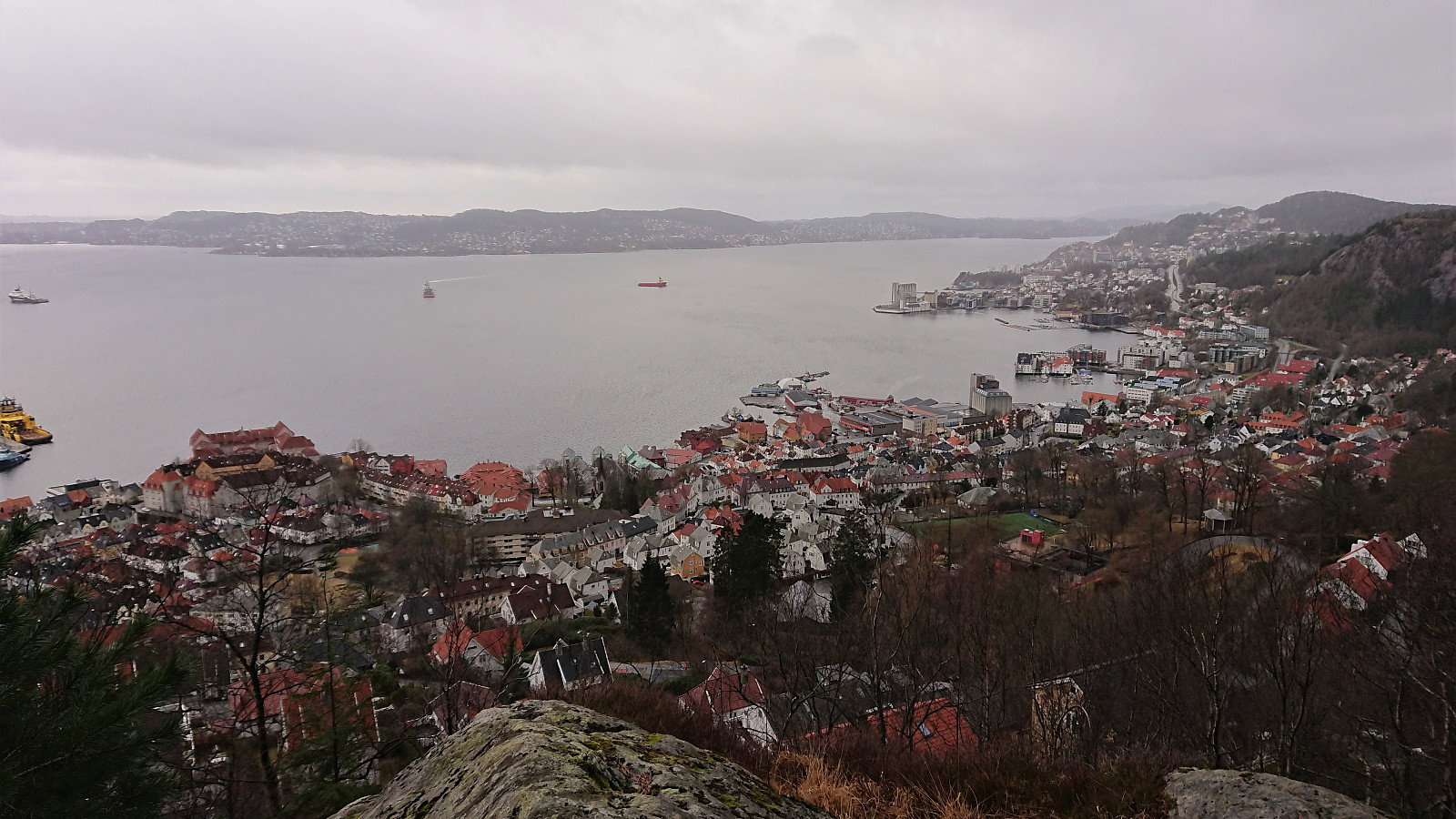
Sandviksbatteriet and Gamle Bergen
- Datum:
- 13.03.2021
- Tourcharakter:
- Wanderung
- Tourlänge:
- 2:22h
- Entfernung:
- 11,3km
 Local hike on a gray Saturday during wet snow showers.
Across Hellen festning
- Datum:
- 12.03.2021
- Tourcharakter:
- Wanderung
- Tourlänge:
- 0:35h
- Entfernung:
- 3,1km
 Short local hike after work.
Hellen festning and Furukammen
- Datum:
- 11.03.2021
- Tourcharakter:
- Wanderung
- Tourlänge:
- 1:45h
- Entfernung:
- 4,9km
 Short local hike after work
Across Hellen festning
- Datum:
- 10.03.2021
- Tourcharakter:
- Wanderung
- Tourlänge:
- 0:35h
- Entfernung:
- 3,1km
 Short local hike after work.
Unknown ruins above Munkebotsvatnet
- Datum:
- 09.03.2021
- Tourcharakter:
- Bergtour
- Tourlänge:
- 2:19h
- Entfernung:
- 9,5km
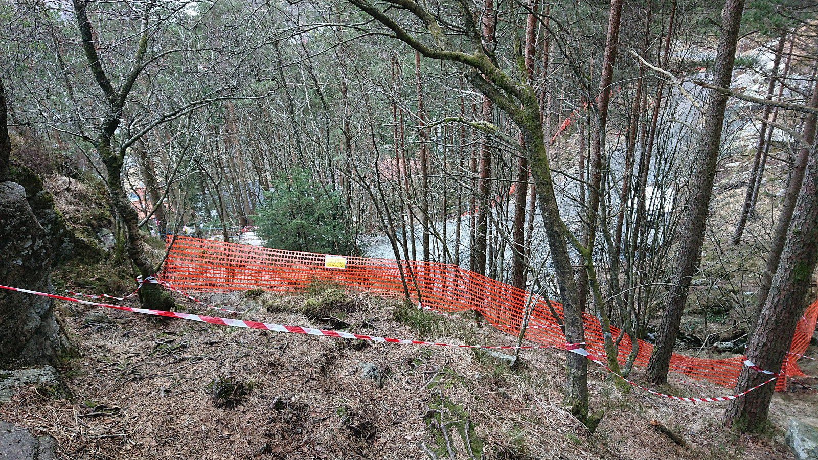
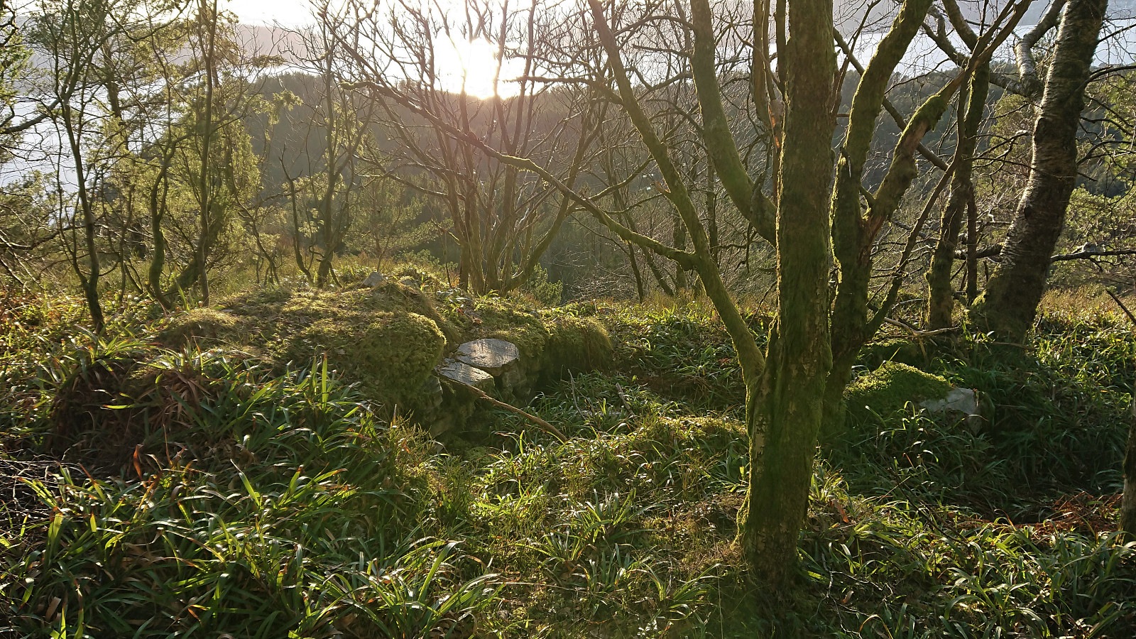 After LarsKr (Lars Kristian Inderhaug) made me aware of some unknown ruins east of Munkebotsvatnet, I of course had to take a closer look. The first ruin, referred to as Ruin SØ for Fjellstova , was found less than 100 meters southeast from the ruins of Fjellstova and was easily reached by following a weak trail/deer track from Fjellstova, which itself is only a short detour from the main trail to Sandvikshytten . This one I had also passed by on an earlier hike more than a year ago , but I cannot remember whether I noticed the ruins during that hike.
I continued southeast along a weak trail/deer track in the direction of the second ruin, referred to as Ruin vest for Brennhaugen . This one I had not visited before, and probably would not have come across if it was not for the directions provided by Lars Kristian, even though these were the most visible ruins, albeit in an area that is clearly off the beaten track.
From this location I >>>
After LarsKr (Lars Kristian Inderhaug) made me aware of some unknown ruins east of Munkebotsvatnet, I of course had to take a closer look. The first ruin, referred to as Ruin SØ for Fjellstova , was found less than 100 meters southeast from the ruins of Fjellstova and was easily reached by following a weak trail/deer track from Fjellstova, which itself is only a short detour from the main trail to Sandvikshytten . This one I had also passed by on an earlier hike more than a year ago , but I cannot remember whether I noticed the ruins during that hike.
I continued southeast along a weak trail/deer track in the direction of the second ruin, referred to as Ruin vest for Brennhaugen . This one I had not visited before, and probably would not have come across if it was not for the directions provided by Lars Kristian, even though these were the most visible ruins, albeit in an area that is clearly off the beaten track.
From this location I >>>
Ørneberget and Hellen festning
- Datum:
- 08.03.2021
- Tourcharakter:
- Bergtour
- Tourlänge:
- 0:55h
- Entfernung:
- 4,1km
 Short local hike after work.
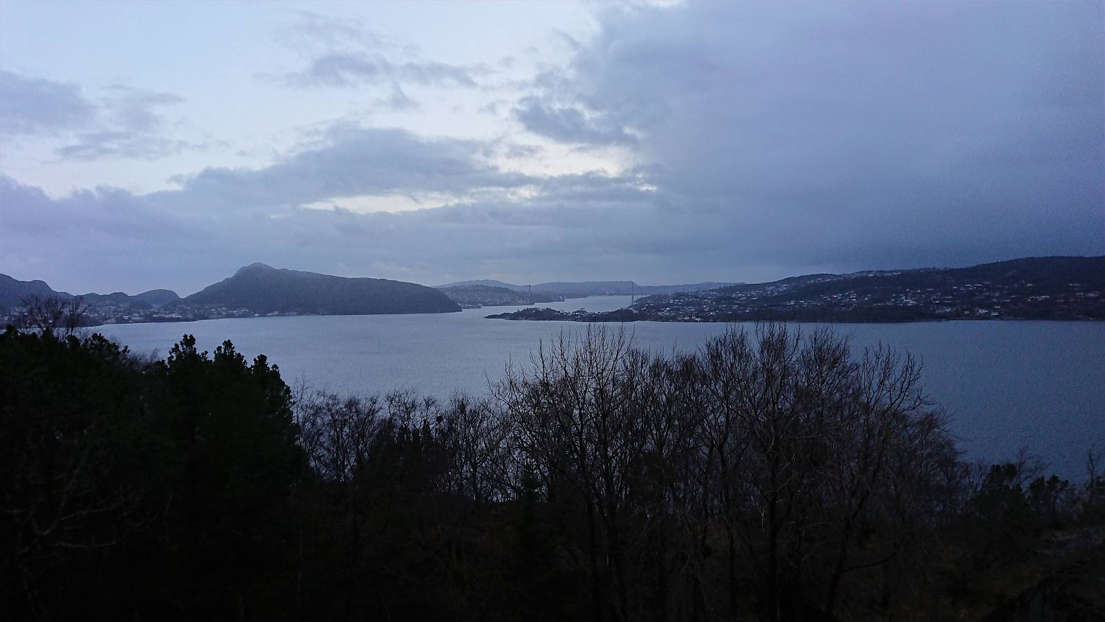
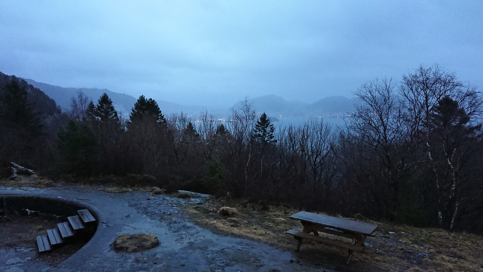
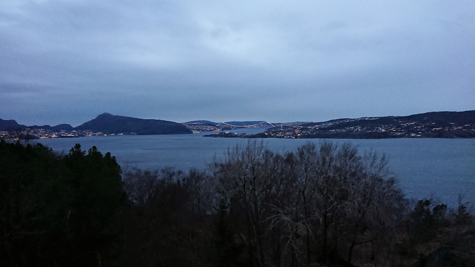
Storhøyen, Tveitaneset and Kvamsvågen
- Datum:
- 07.03.2021
- Tourcharakter:
- Bergtour
- Tourlänge:
- 0:39h
- Entfernung:
- 2,3km
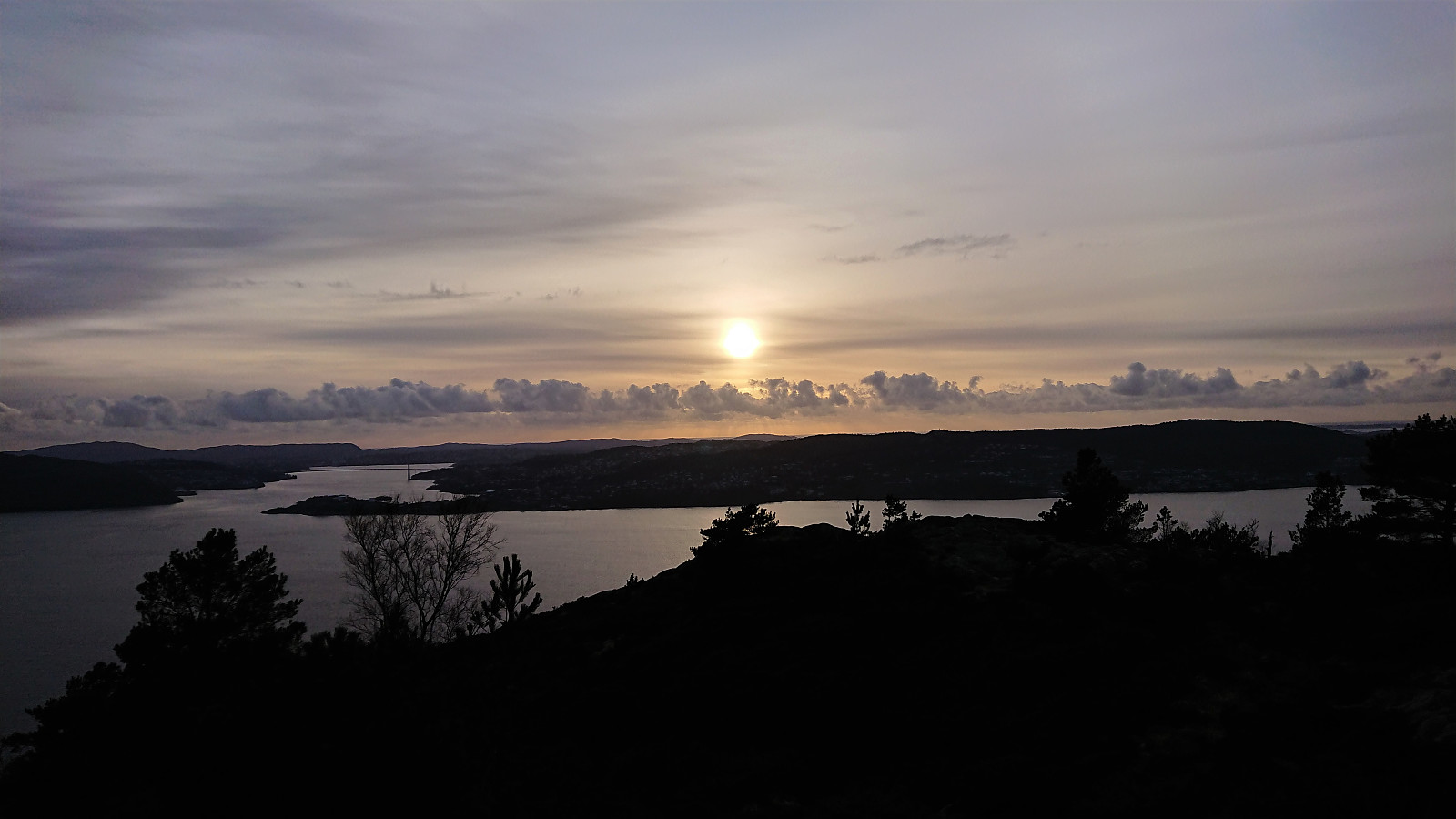
 On our way home from the hike to Orrnipa , I made a quick stop at Storhøyen which could be easily reached via first a tractor road up from Skarsvegen and then a short off-trail ascent to the summit. The summit provided nice views across the fjord to the southwest and even included the remains of an old trig marker. I continued a bit further along the trail/tractor road towards Tveitaneset but this did not result in a major difference with regards to the views. After this minor detour, I followed a trail down to what was left of an old house down by the sea, before finally following the same trail to Kvamsvågen, from where a gravel road could be followed back to the main road.
Orrnipa from Sæbø
- Datum:
- 07.03.2021
- Tourcharakter:
- Bergtour
- Tourlänge:
- 1:43h
- Entfernung:
- 5,4km
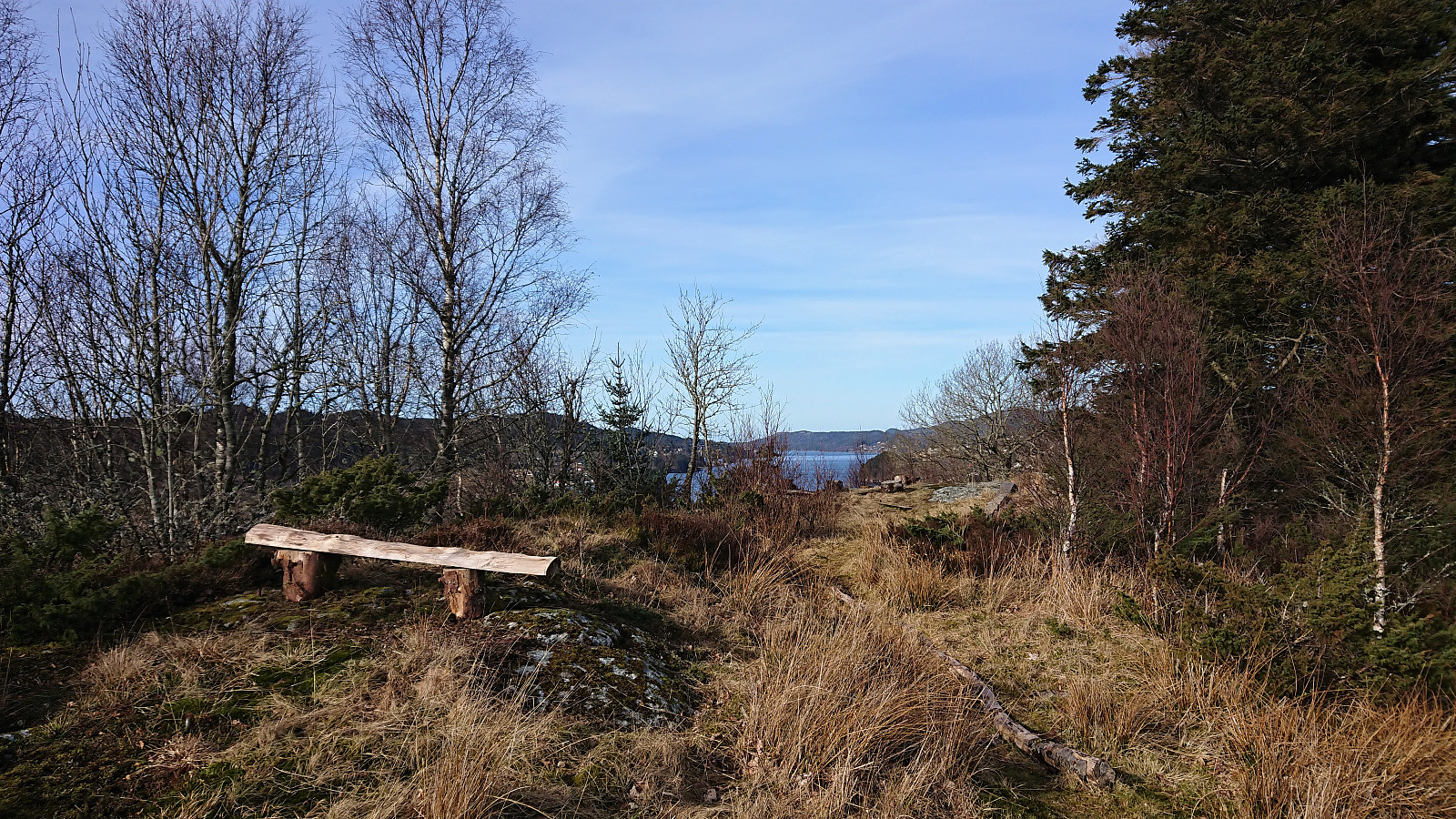
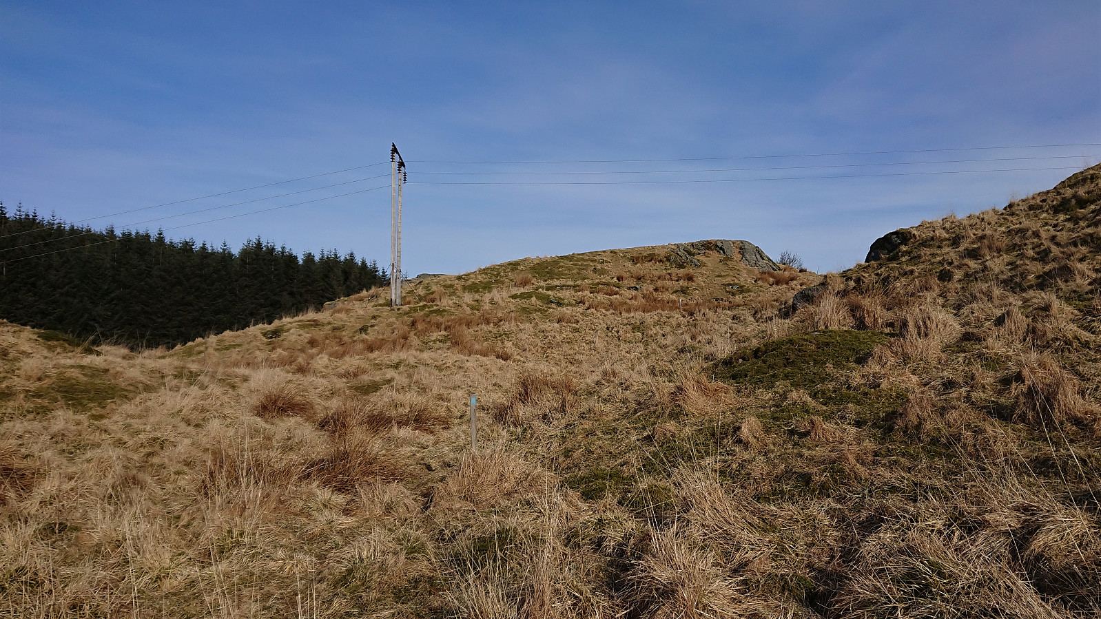 A short hike were we more or less followed in the footsteps of Kjell . We parked by the church at Sæbø and from there followed an unmarked gravel road southeast. When the road ended there was a trailhead marked by a blue arrow and a trail that could easily be followed all the way to the summit. (Note that about halfway to the summit there was also a marked trail coming up from Vetås/Vettås, hence it should also be possible to ascend Orrnipa from that direction as well.) The summit provided excellent views in all directions, even more so for only being 170 meters above sea level.
From the summit we followed a weak trail marked with blue paint, but unlike Kjell we continued on this trail as it entered into the dense forest. Upon exiting the forest we however soon arrived at a fence with no further trail markers to be found. We tried >>>
A short hike were we more or less followed in the footsteps of Kjell . We parked by the church at Sæbø and from there followed an unmarked gravel road southeast. When the road ended there was a trailhead marked by a blue arrow and a trail that could easily be followed all the way to the summit. (Note that about halfway to the summit there was also a marked trail coming up from Vetås/Vettås, hence it should also be possible to ascend Orrnipa from that direction as well.) The summit provided excellent views in all directions, even more so for only being 170 meters above sea level.
From the summit we followed a weak trail marked with blue paint, but unlike Kjell we continued on this trail as it entered into the dense forest. Upon exiting the forest we however soon arrived at a fence with no further trail markers to be found. We tried >>>
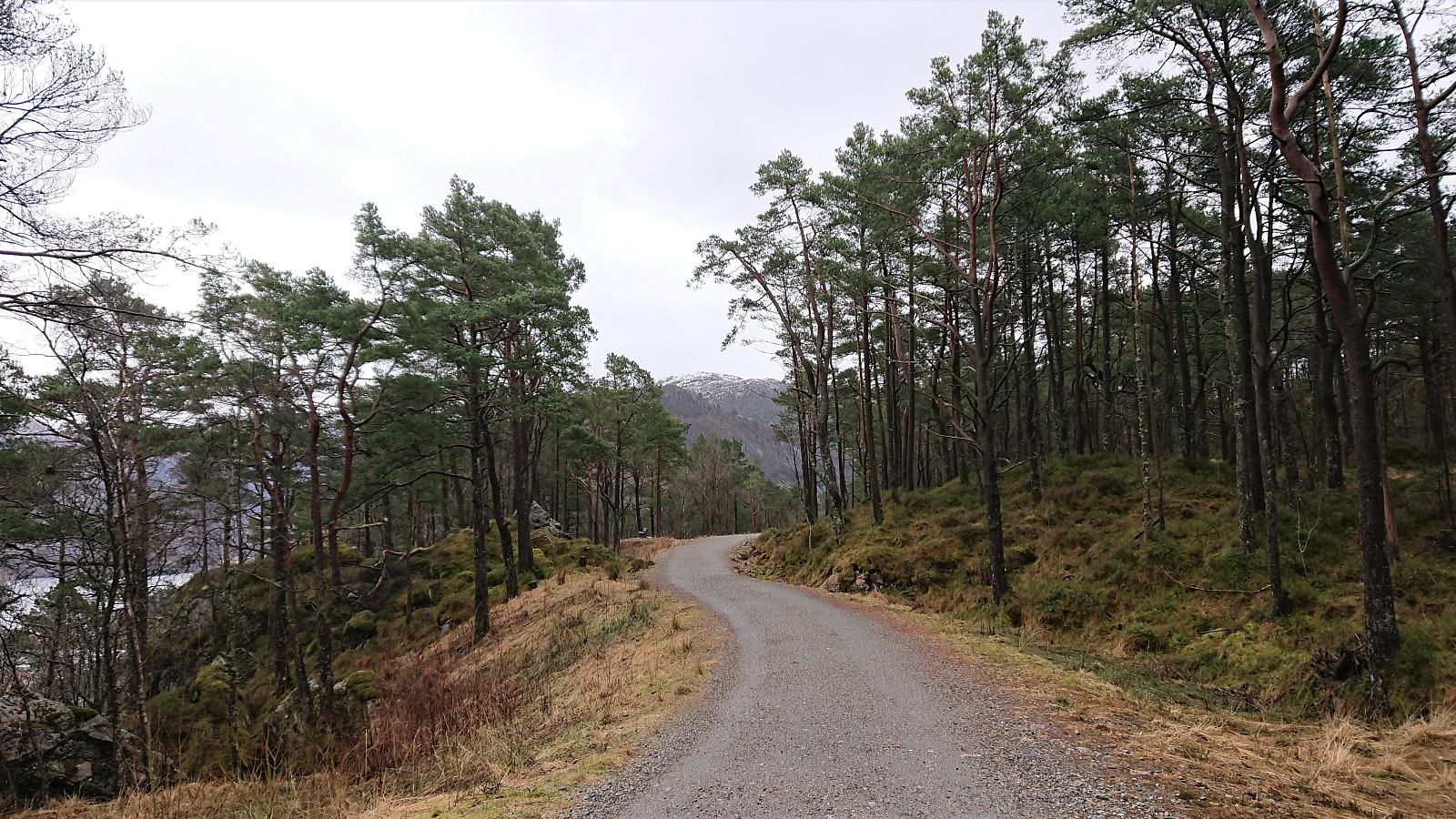
Skreddersteinen
- Datum:
- 06.03.2021
- Tourcharakter:
- Wanderung
- Tourlänge:
- 2:46h
- Entfernung:
- 13,9km
 Local hike on a gray Saturday to visit Skreddersteinen , a large rock above Breistølen that I cannot remember having visited before. Easily accessible either via the trail I used on the ascent or by following the paved road of Breistølen that I used for the descent. From Skreddersteinen I took a short detour south along a trail, following a steep trail and passing by a spot with a nice view before returning, still along a trail, back to Skreddersteinen.
Løvstakken via Storavatnet
- Datum:
- 04.03.2021
- Tourcharakter:
- Bergtour
- Tourlänge:
- 5:28h
- Entfernung:
- 14,3km
 Given the excellent weather I decided take the afternoon off for a hike to Løvstakken , and even managed to convince a colleague to join. On the way there we also visited the two small hills on the southern end of Storavatnet, where only the northern one had a proper trail to the summit. For the southern one we found a trail/animal track that could be followed all the way to the summit, while the descent was off-trail but still straightforward.
Limited views from both summits, but very nice views could be obtained if heading to the 191.1 hill 25 meters west of the summit of Haug nord for Svartatjørna . On the way to Løvstakken I also made a quick detour on my own to some unnamed ruins that I had not previously visited north of the ruins of Vardheim .
Cold wind at the top of Løvstakken, hence we did not stay long before starting our descent where we attempted a (for us) new trail down >>>
Given the excellent weather I decided take the afternoon off for a hike to Løvstakken , and even managed to convince a colleague to join. On the way there we also visited the two small hills on the southern end of Storavatnet, where only the northern one had a proper trail to the summit. For the southern one we found a trail/animal track that could be followed all the way to the summit, while the descent was off-trail but still straightforward.
Limited views from both summits, but very nice views could be obtained if heading to the 191.1 hill 25 meters west of the summit of Haug nord for Svartatjørna . On the way to Løvstakken I also made a quick detour on my own to some unnamed ruins that I had not previously visited north of the ruins of Vardheim .
Cold wind at the top of Løvstakken, hence we did not stay long before starting our descent where we attempted a (for us) new trail down >>>
