Archiv - Nach Datum
Archiv - Nach Aktivität
-
Andere Tour (3)
- Kayaking (3)
-
Fahrradtour (108)
- Fahrradtour Straße (83)
- Fahrradtour gemischt (25)
-
Fahrzeugtour (9)
- Autotour (9)
-
Fußtour (1870)
- Bergtour (1109)
- Jogging (1)
- Spaziergang (55)
- Wanderung (705)
-
Skitour (115)
- Langlauf (47)
- Tourenskilauf (68)
Gesammelte Listen
-
Utvalgte topper og turmål i Bergen
(346/347)
 99%
99% -
Alle topper i Bergen
(391/398)
98%
-
Voss ≥ 100m pf.
(96/98)
97%
-
Opptur Hordaland
(144/159)
90%
-
Stasjoner på Bergensbanen
(31/40)
77%
-
Ulvik ≥ 100m pf.
(28/38)
73%
-
Hordaland ≥ 100m pf.
(619/863)
71%
-
Mjølfjell PF > 100m
(21/31)
67%
-
Jondal ≥ 100m pf.
(15/23)
65%
-
Dagsturhyttene i Vestland
(36/61)
59%
-
Sunnhordland PF >= 100m
(105/186)
56%
-
Hordaland: Hardanger PF>=100m
(191/359)
53%
-
DNT-hytter i Hordaland
(23/45)
51%
-
Kvinnherad ≥ 100m pf.
(40/79)
50%
-
Sogndal ≥ 100m pf.
(23/81)
28%
-
Gulen ≥ 100m pf.
(14/54)
25%
-
Eidfjord ≥ 100m pf.
(10/42)
23%
-
Vik i Sogn ≥ 100m pf.
(10/46)
21%
-
Sogn - Sør for Sognefjorden PF>=100m
(30/159)
18%
-
DNT-hytter i Sogn og Fjordane
(8/47)
17%

Hatten, Snaufjellet and Dalsfjellet
- Datum:
- 08.06.2024
- Tourcharakter:
- Bergtour
- Tourlänge:
- 3:31h
- Entfernung:
- 9,1km
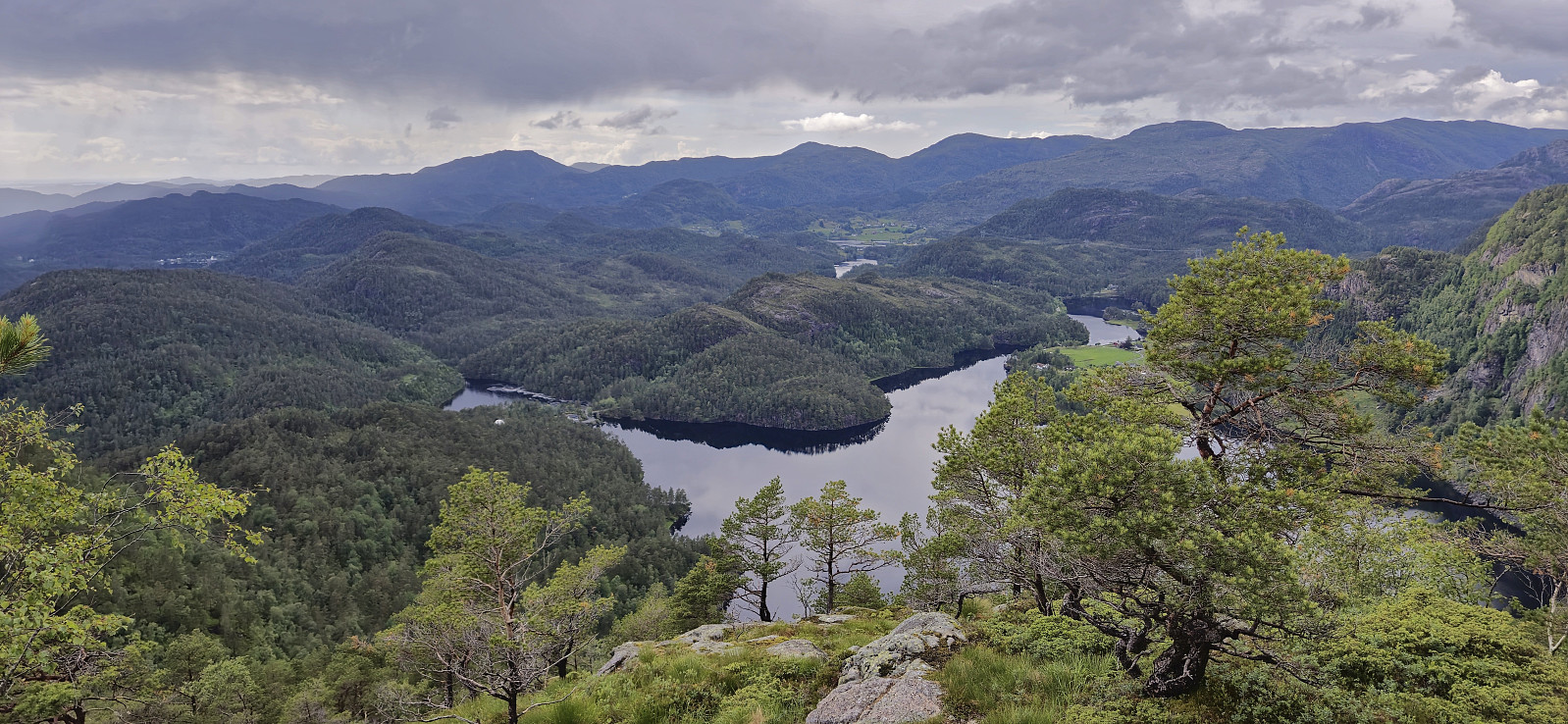 During the drive south from the ascent of Merkesholten , the rain had picked up in intensity and when we parked next to Nordbygda skule we even waited a couple of minutes in the car with the hope that the conditions would improve. But in the end we could not wait all day and left the car to start the final hike of the day. As it later turned out it would not take long before the rain would stop anyway. After a short walk west along the main road we crossed the road and located the marked trailhead for Hatten . From there it was simply a matter of following the winding marked trail all the way to the summit, or rather to a vantage point just west of the summit. The summit, or maybe more correctly the summit area, as there were at least three potential highest points to choose from, was located around 50 meters to the east.
After >>>
During the drive south from the ascent of Merkesholten , the rain had picked up in intensity and when we parked next to Nordbygda skule we even waited a couple of minutes in the car with the hope that the conditions would improve. But in the end we could not wait all day and left the car to start the final hike of the day. As it later turned out it would not take long before the rain would stop anyway. After a short walk west along the main road we crossed the road and located the marked trailhead for Hatten . From there it was simply a matter of following the winding marked trail all the way to the summit, or rather to a vantage point just west of the summit. The summit, or maybe more correctly the summit area, as there were at least three potential highest points to choose from, was located around 50 meters to the east.
After >>>
Merkesholten
- Datum:
- 08.06.2024
- Tourcharakter:
- Bergtour
- Tourlänge:
- 0:42h
- Entfernung:
- 1,4km
 After the overall uninteresting ascent of Beinvedfjellet , we had one more presumably similar summit to ascend, namely Merkesholten . This would however turn out to be a much more enjoyable short hike. We parked next to the road at Byrklelandsvatnet and simply headed off-trail in the direction of the summit.
Thankfully the terrain was much more open and hiking-friendly than at Beinvedfjellet and it did not take long before we arrived at a summit which even provided relatively good views.
With dark clouds in the horizon we still did not stay long before descending along more or less the same route, and shortly after we began the drive south for our final hike of the day to Hatten, Snaufjellet and Dalsfjellet , the rain again started pouring down.
After the overall uninteresting ascent of Beinvedfjellet , we had one more presumably similar summit to ascend, namely Merkesholten . This would however turn out to be a much more enjoyable short hike. We parked next to the road at Byrklelandsvatnet and simply headed off-trail in the direction of the summit.
Thankfully the terrain was much more open and hiking-friendly than at Beinvedfjellet and it did not take long before we arrived at a summit which even provided relatively good views.
With dark clouds in the horizon we still did not stay long before descending along more or less the same route, and shortly after we began the drive south for our final hike of the day to Hatten, Snaufjellet and Dalsfjellet , the rain again started pouring down.
Beinvedfjellet
- Datum:
- 08.06.2024
- Tourcharakter:
- Bergtour
- Tourlänge:
- 0:40h
- Entfernung:
- 1,4km
 On the way south from our visit of Melshovden , we did not drive far before finding parking next to the road and starting our ascent of Beinvedfjellet . Thankfully this was a short hike as the terrain was the least inviting of the day with lots of wet areas and an uneven ground with only the occasional deer track.
Next to no views from the summit, the only exception being Mongstad which could be spotted in the distance. After a couple of pictures we therefore quickly returned along more or less the same route.
With three summits in the bag, we drove northeast to Byrkjelandsvatnet for our ascent of Merksholten .
On the way south from our visit of Melshovden , we did not drive far before finding parking next to the road and starting our ascent of Beinvedfjellet . Thankfully this was a short hike as the terrain was the least inviting of the day with lots of wet areas and an uneven ground with only the occasional deer track.
Next to no views from the summit, the only exception being Mongstad which could be spotted in the distance. After a couple of pictures we therefore quickly returned along more or less the same route.
With three summits in the bag, we drove northeast to Byrkjelandsvatnet for our ascent of Merksholten .
Melshovden
- Datum:
- 08.06.2024
- Tourcharakter:
- Bergtour
- Tourlänge:
- 0:52h
- Entfernung:
- 2,2km
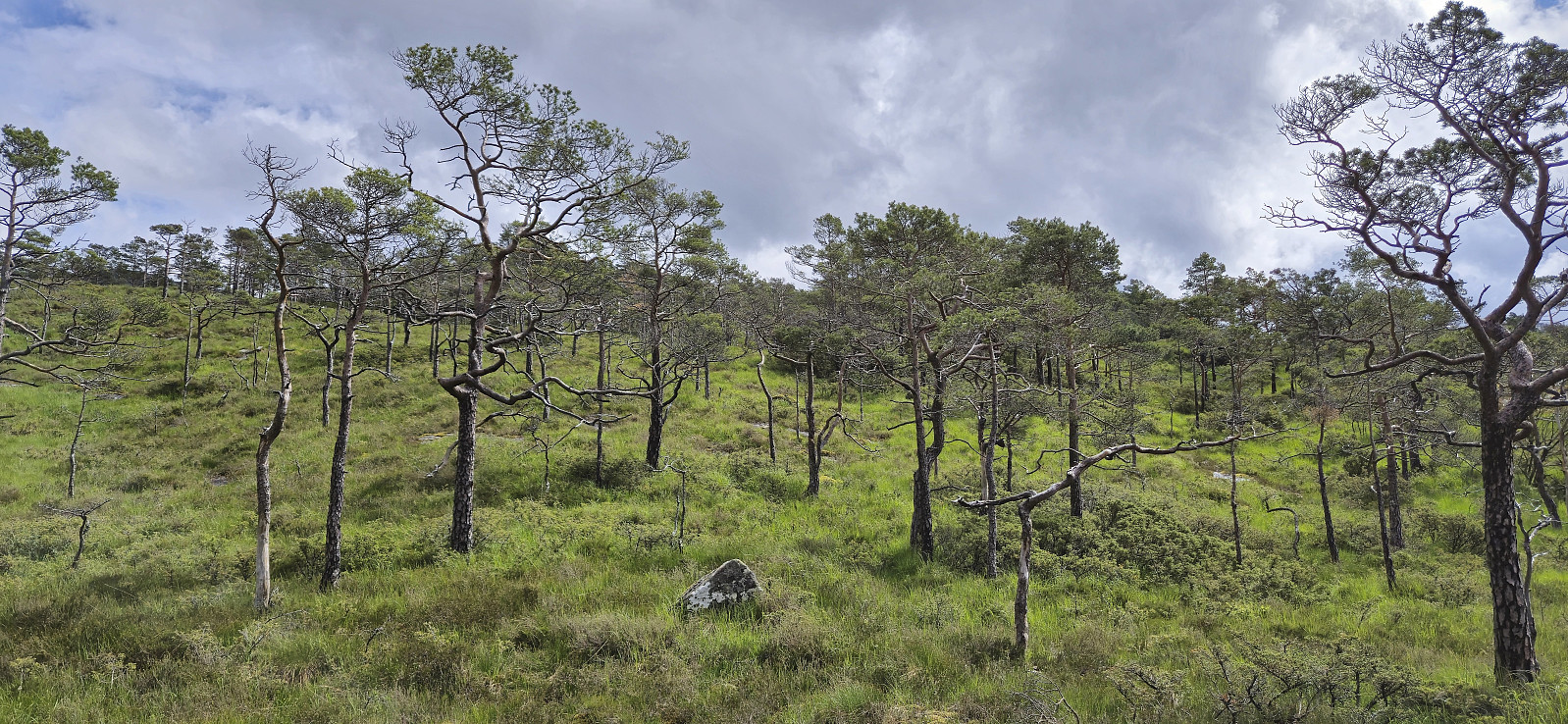
 After the short drive from Ytre Haugsdal and our ascent of Svelikulten , we found parking next to the road at Rambjørg and from there followed a tractor road north. To our surprise the rain, which according to the forecast was supposed to last all day, had now been replaced by sunshine and we definitely did not complain.
The steep trail up to the summit of Melshovden was marked with blue ribbons but the trailhead could still easily have been missed if it weren't for the GPS tracks from previous trip reports. The trail itself was also partly hidden underneath the tall grasses and ferns but was still relatively easy to follow. Excellent views from the summit and overall a nice short hike that can be recommended.
We returned the same way and then drove a short distance south to ascend Beinvedfjellet .
After the short drive from Ytre Haugsdal and our ascent of Svelikulten , we found parking next to the road at Rambjørg and from there followed a tractor road north. To our surprise the rain, which according to the forecast was supposed to last all day, had now been replaced by sunshine and we definitely did not complain.
The steep trail up to the summit of Melshovden was marked with blue ribbons but the trailhead could still easily have been missed if it weren't for the GPS tracks from previous trip reports. The trail itself was also partly hidden underneath the tall grasses and ferns but was still relatively easy to follow. Excellent views from the summit and overall a nice short hike that can be recommended.
We returned the same way and then drove a short distance south to ascend Beinvedfjellet .
Svelikulten
- Datum:
- 08.06.2024
- Tourcharakter:
- Bergtour
- Tourlänge:
- 0:49h
- Entfernung:
- 3,1km
 Based on the success of our previous trip to Masfjorden in February where Endre and I visited a total of seven summits, we decided to have another go. Once more we arrived via the cable ferry from Masfjordnes to Duesund. From there we drove northwest to Ytre Haugsdal for the first goal of the day: Svelikulten .
We parked at the crossroads at the end of the road and followed a tractor road north towards the summit. The tractor road gradually turned into a marked trail that led us all the way to a summit that provided surprisingly good views, although today rather limited by the low-hanging rain clouds. We therefore did not stay long before returning the same way.
Back in the car, we drove the short distance east to Rambjørg to ascend Melshovden .
Based on the success of our previous trip to Masfjorden in February where Endre and I visited a total of seven summits, we decided to have another go. Once more we arrived via the cable ferry from Masfjordnes to Duesund. From there we drove northwest to Ytre Haugsdal for the first goal of the day: Svelikulten .
We parked at the crossroads at the end of the road and followed a tractor road north towards the summit. The tractor road gradually turned into a marked trail that led us all the way to a summit that provided surprisingly good views, although today rather limited by the low-hanging rain clouds. We therefore did not stay long before returning the same way.
Back in the car, we drove the short distance east to Rambjørg to ascend Melshovden .
Hellemyrstien and Ørneberget NV
- Datum:
- 06.06.2024
- Tourcharakter:
- Wanderung
- Tourlänge:
- 1:09h
- Entfernung:
- 5,3km
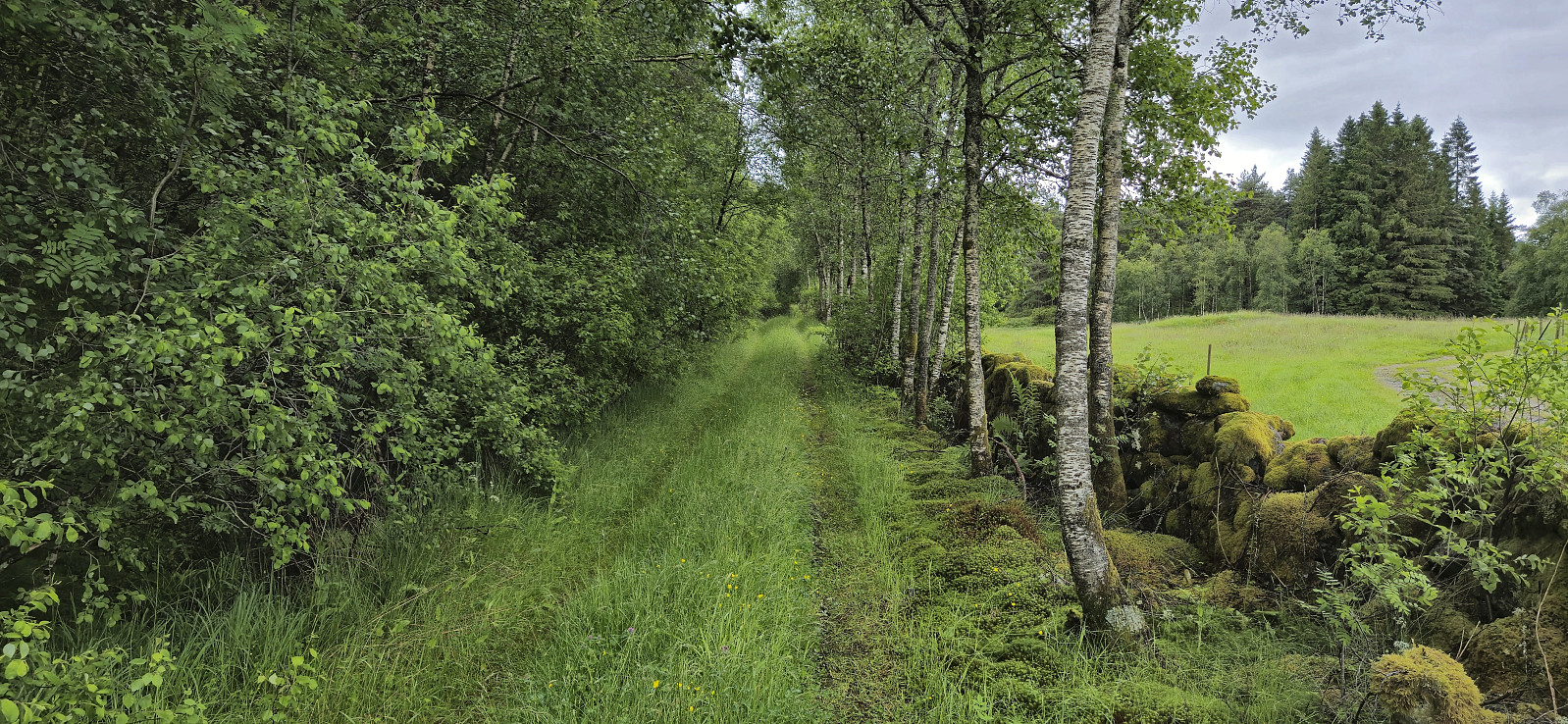
 Short local evening hike in between the rain showers.
Across Hellen festning
- Datum:
- 05.06.2024
- Tourcharakter:
- Wanderung
- Tourlänge:
- 0:36h
- Entfernung:
- 3,1km
 Short local hike after work. Made it home just before it started raining again.
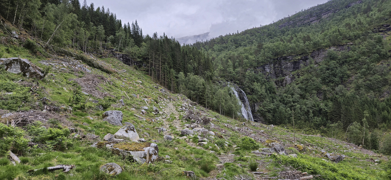
Sandviksbatteriet, Sandvikspilen and Sandviksfjellet
- Datum:
- 02.06.2024
- Tourcharakter:
- Bergtour
- Tourlänge:
- 2:17h
- Entfernung:
- 10,0km
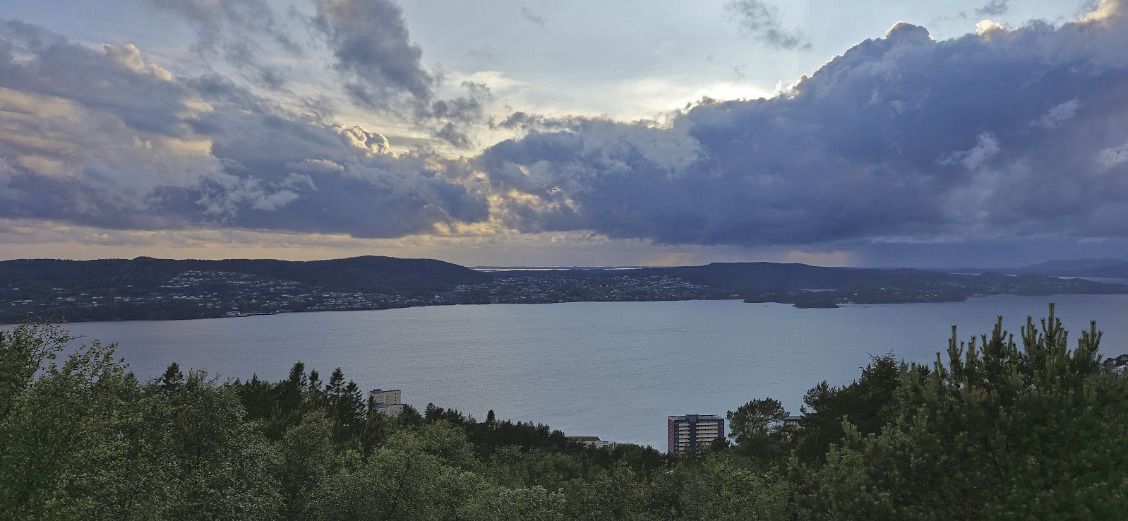
 Local Sunday hike in Sandviken.
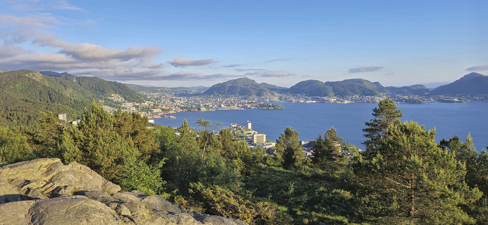
Mysterfjell and Åsen
- Datum:
- 01.06.2024
- Tourcharakter:
- Bergtour
- Tourlänge:
- 4:57h
- Entfernung:
- 12,5km
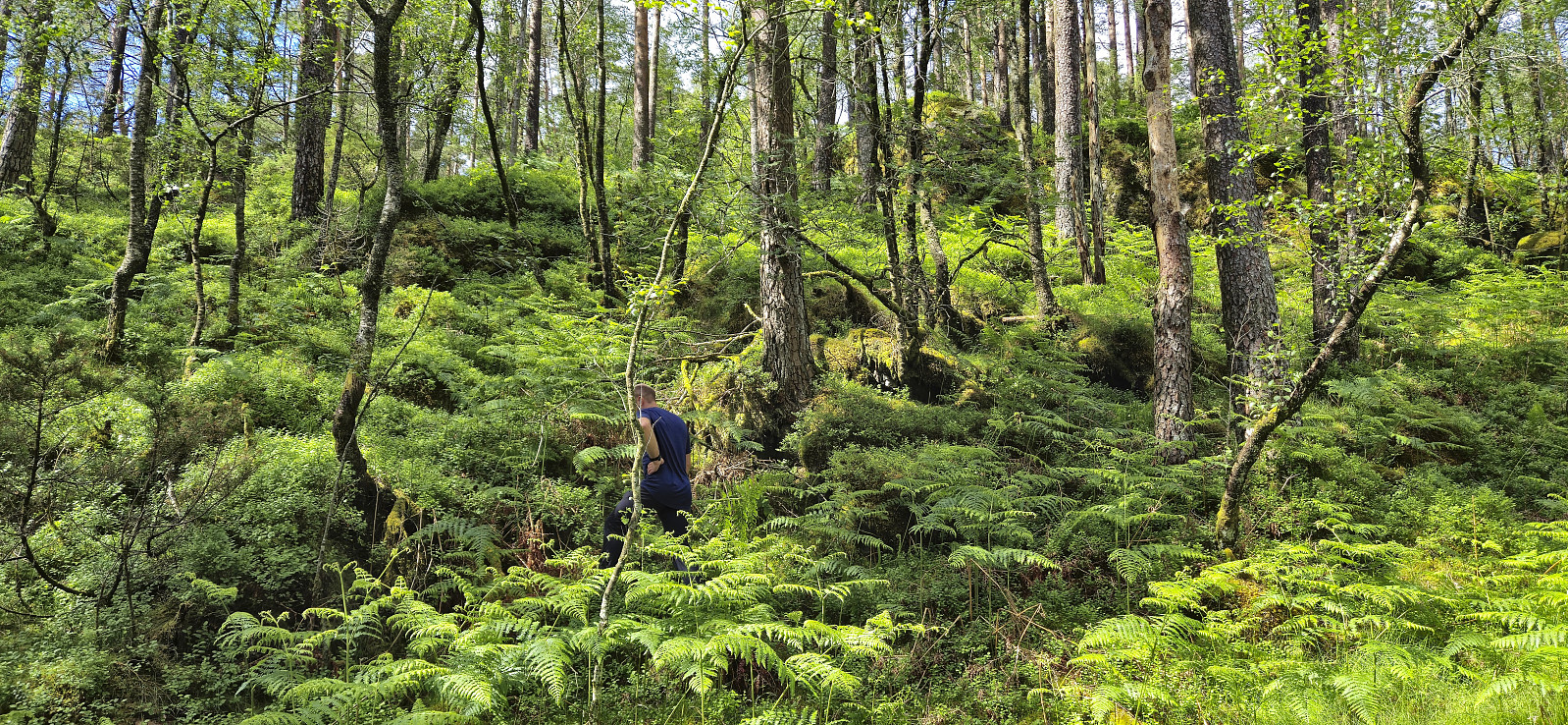
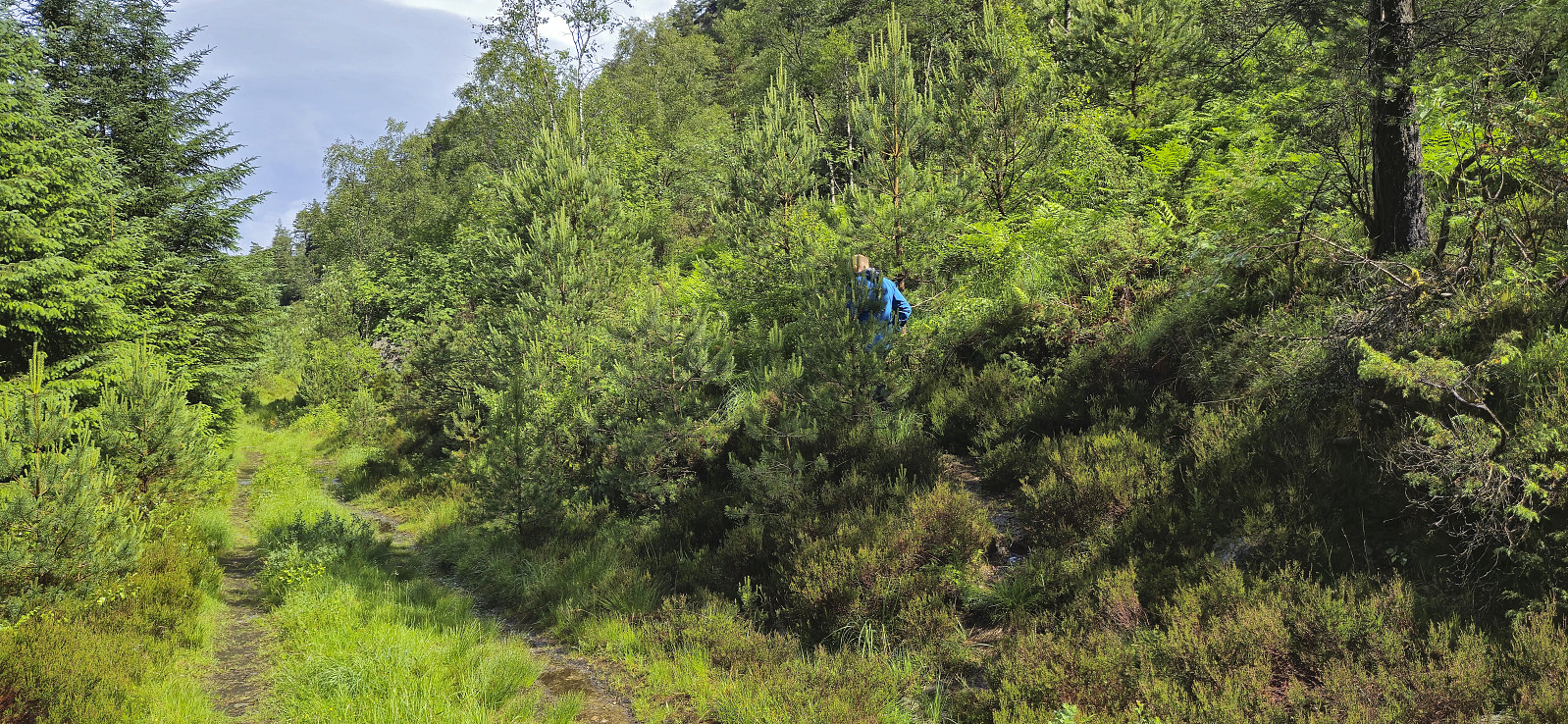
 I started by taking the train to Dale and from there the bus to Eidslandet where I got off at Olavika at the start of Mystervegen. After passing the last house in Mystervegen I passed through a gate, and later on a second gate, and continued on a tractor road that soon turned into a marked trail that lead me up to Leiro . Here I had hoped to locate a trail towards Storfjellet but only found weak animal tracks and before long I was simply aiming for Storfjellet and heading off-trail in that direction. Thankfully the terrain was easy to navigate and I arrived at the summit without any issues. Excellent views back down towards Myster and Eidslandet from just west of the highest point.
Due to lots of flies I however did not stay long before turning my attention to the real goal of the day: Mysterfjell . Not sure where the name >>>
I started by taking the train to Dale and from there the bus to Eidslandet where I got off at Olavika at the start of Mystervegen. After passing the last house in Mystervegen I passed through a gate, and later on a second gate, and continued on a tractor road that soon turned into a marked trail that lead me up to Leiro . Here I had hoped to locate a trail towards Storfjellet but only found weak animal tracks and before long I was simply aiming for Storfjellet and heading off-trail in that direction. Thankfully the terrain was easy to navigate and I arrived at the summit without any issues. Excellent views back down towards Myster and Eidslandet from just west of the highest point.
Due to lots of flies I however did not stay long before turning my attention to the real goal of the day: Mysterfjell . Not sure where the name >>>
Ørneberget and Furukammen
- Datum:
- 31.05.2024
- Tourcharakter:
- Bergtour
- Tourlänge:
- 0:54h
- Entfernung:
- 4,0km
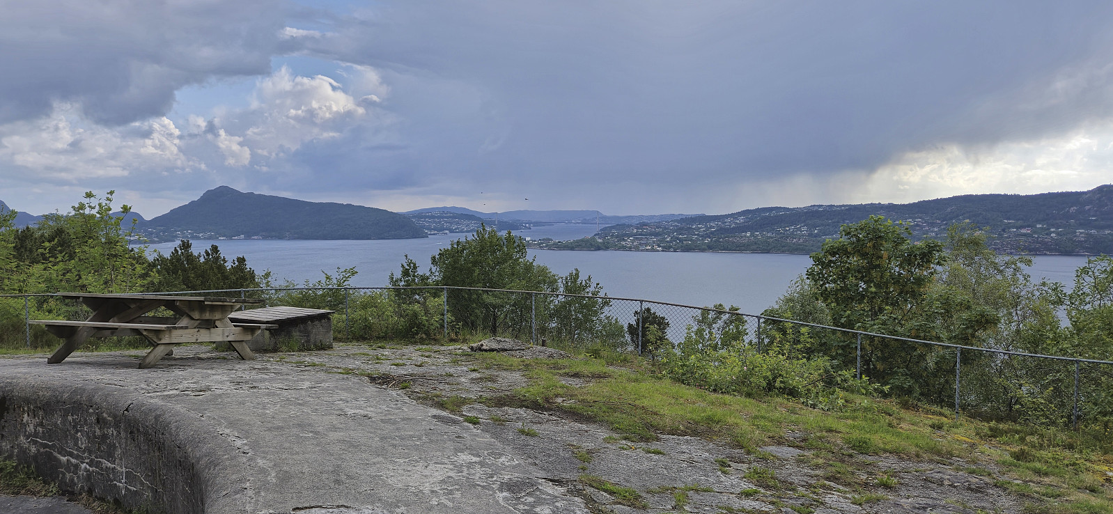
 Short local evening hike.
