Archiv - Nach Datum
Archiv - Nach Aktivität
-
Andere Tour (3)
- Kayaking (3)
-
Fahrradtour (108)
- Fahrradtour Straße (83)
- Fahrradtour gemischt (25)
-
Fahrzeugtour (9)
- Autotour (9)
-
Fußtour (1769)
- Bergtour (1047)
- Jogging (1)
- Spaziergang (53)
- Wanderung (668)
-
Skitour (109)
- Langlauf (44)
- Tourenskilauf (65)
Gesammelte Listen
-
Voss ≥ 100m pf.
(96/98)
 97%
97% -
Opptur Hordaland
(143/159)
89%
-
Stasjoner på Bergensbanen
(31/40)
77%
-
Ulvik ≥ 100m pf.
(28/38)
73%
-
Hordaland ≥ 100m pf.
(610/863)
70%
-
Mjølfjell PF > 100m
(21/31)
67%
-
Jondal ≥ 100m pf.
(15/23)
65%
-
Sunnhordland PF >= 100m
(104/186)
55%
-
Dagsturhyttene i Vestland
(33/61)
54%
-
Hordaland: Hardanger PF>=100m
(183/359)
50%
-
Kvinnherad ≥ 100m pf.
(40/79)
50%
-
DNT-hytter i Hordaland
(22/45)
48%
-
Sogndal ≥ 100m pf.
(23/81)
28%
-
Vik i Sogn ≥ 100m pf.
(8/46)
17%
-
DNT-hytter i Sogn og Fjordane
(8/47)
17%
-
Eidfjord ≥ 100m pf.
(6/42)
14%
-
Etne ≥ 100m pf.
(7/51)
13%
-
Ullensvang ≥ 100m pf.
(19/153)
12%
-
Sogn - Sør for Sognefjorden PF>=100m
(17/159)
10%
-
Opptur i Sogn og Fjordane peaks
(17/177)
9%

Siggjo from Åreiddalen/Finnåsvatnet
- Datum:
- 21.07.2021
- Tourcharakter:
- Bergtour
- Tourlänge:
- 2:15h
- Entfernung:
- 5,8km
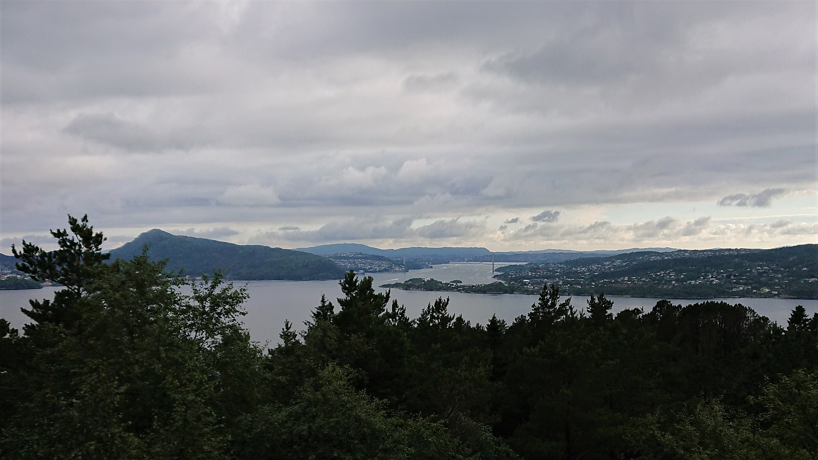
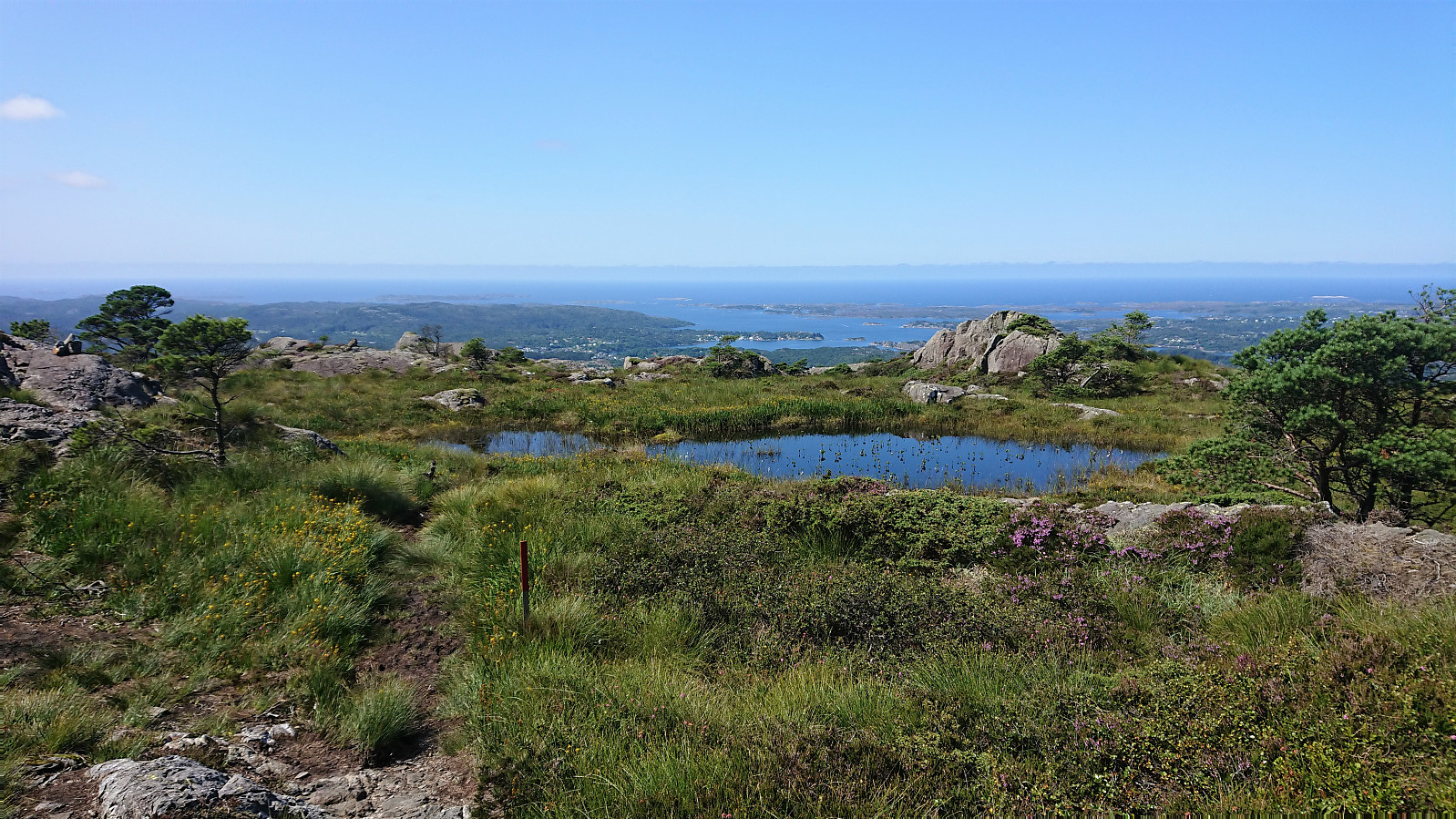 After cycling from Rubbestadneset to the unmarked trailhead for Siggjo in the valley between Siggjo and Furefjellet , I left the bike behind and continued towards the summit on foot following a trail marked with wooden sticks tipped with red paint. (At the start the trail was also marked with pink ribbons, but these soon departed from the main trail, and the one indicated on the map, and I continued following the wooden sticks.)
The trail was easy to follow as it winded its way up to the summit, which was therefore reached without any difficulties. Especially the last part was very nice, i.e. when getting above the tree line with the views greatly improving. As expected, the panoramic view from the summit was spectacular with unobstructed views in all directions. After a short break, and lots of pictures, I descended along the same route.
After cycling from Rubbestadneset to the unmarked trailhead for Siggjo in the valley between Siggjo and Furefjellet , I left the bike behind and continued towards the summit on foot following a trail marked with wooden sticks tipped with red paint. (At the start the trail was also marked with pink ribbons, but these soon departed from the main trail, and the one indicated on the map, and I continued following the wooden sticks.)
The trail was easy to follow as it winded its way up to the summit, which was therefore reached without any difficulties. Especially the last part was very nice, i.e. when getting above the tree line with the views greatly improving. As expected, the panoramic view from the summit was spectacular with unobstructed views in all directions. After a short break, and lots of pictures, I descended along the same route.
Båtevassfjellet from Einestranda
- Datum:
- 19.07.2021
- Tourcharakter:
- Bergtour
- Tourlänge:
- 4:55h
- Entfernung:
- 14,5km
 I started by taking the bus (or rather buses, four in total) to Einestranda. Here I managed to get off one stop too early. I think I can be excused by the fact that this particular stop, while having its own bus stop sign, does not appear in the list of bus stops at skyss.no. In any case, it was only a short 250 meters walk to the correct stop.
Next, the unmarked trailhead for Båtevassfjellet was easily located just before crossing the river at Einestranda. The trail itself however was marked, and the first trail marker could be spotted from the trailhead. After a short detour following some trail markers on the north/west side of the river, I retraced my steps and crossed the river via a concrete bridge, and quickly picked up the trail markers on the other side. From there on the trail was overall easy to >>>
I started by taking the bus (or rather buses, four in total) to Einestranda. Here I managed to get off one stop too early. I think I can be excused by the fact that this particular stop, while having its own bus stop sign, does not appear in the list of bus stops at skyss.no. In any case, it was only a short 250 meters walk to the correct stop.
Next, the unmarked trailhead for Båtevassfjellet was easily located just before crossing the river at Einestranda. The trail itself however was marked, and the first trail marker could be spotted from the trailhead. After a short detour following some trail markers on the north/west side of the river, I retraced my steps and crossed the river via a concrete bridge, and quickly picked up the trail markers on the other side. From there on the trail was overall easy to >>>
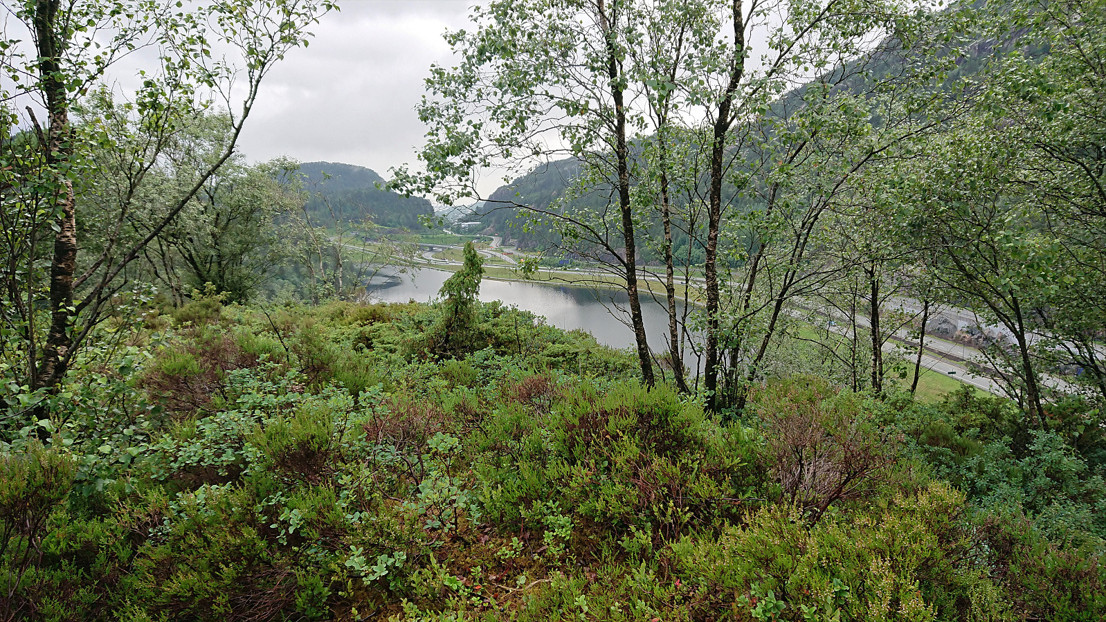
Across Hellen festning
- Datum:
- 17.07.2021
- Tourcharakter:
- Wanderung
- Tourlänge:
- 0:38h
- Entfernung:
- 3,2km
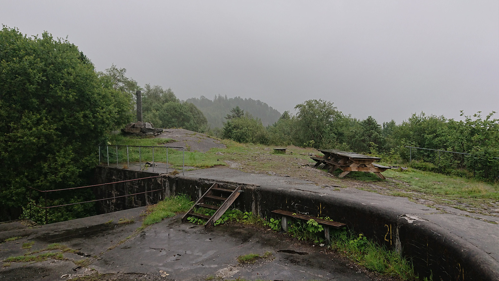 Short local hike on a gray and wet Saturday.
Vestrefjellet and Snjonipa roundtrip from Tyssebotn
- Datum:
- 16.07.2021
- Tourcharakter:
- Bergtour
- Tourlänge:
- 8:22h
- Entfernung:
- 24,5km
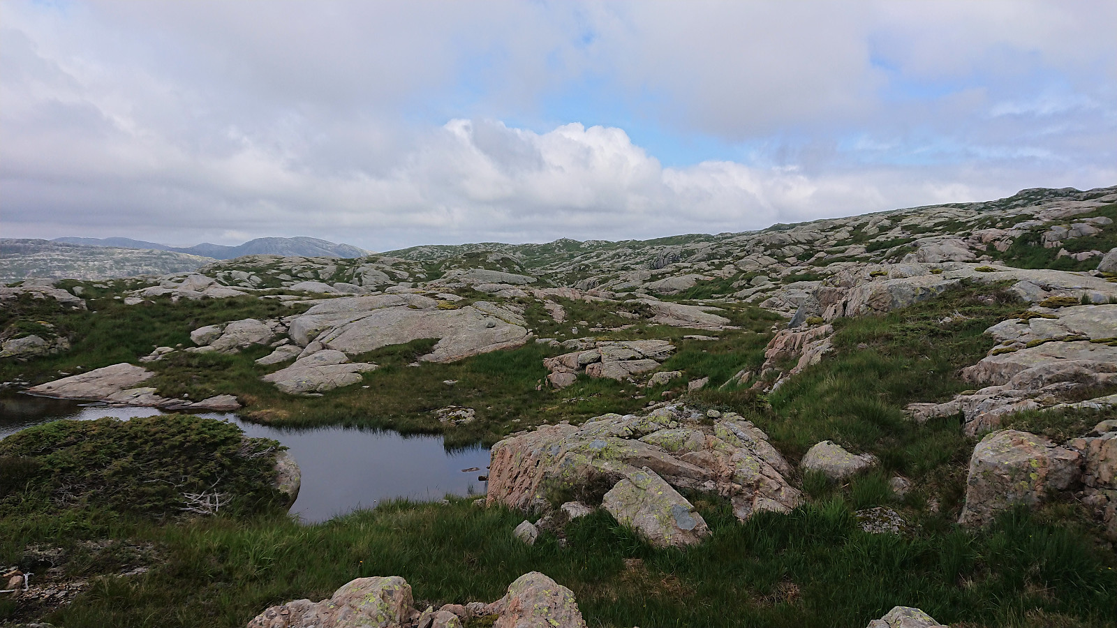
 I started by taking the first bus to Tyssebotn on a Friday morning, where I was the only passenger on both the bus and the ferry from Breistein to Valestrand. From Tyssebotn, I walked along the road to the trailhead for Gammersvik south of Kleiveland. I proceeded to follow this unmarked but easy to follow trail to Vaultjørna. After a quick visit to Vaulelvbrua to check that both it and the trail on the other side was there and of ok quality (as it would be quite important when later returning along that route), I backtracked about 100 meters to a trail/deer track I had noticed just after crossing the small stream north of Vaultjørna.
By following this track, I easily ascended the initial steep section on my way northeast towards Vestrefjellet . The track however soon more or less disappeared, and I was left making >>>
I started by taking the first bus to Tyssebotn on a Friday morning, where I was the only passenger on both the bus and the ferry from Breistein to Valestrand. From Tyssebotn, I walked along the road to the trailhead for Gammersvik south of Kleiveland. I proceeded to follow this unmarked but easy to follow trail to Vaultjørna. After a quick visit to Vaulelvbrua to check that both it and the trail on the other side was there and of ok quality (as it would be quite important when later returning along that route), I backtracked about 100 meters to a trail/deer track I had noticed just after crossing the small stream north of Vaultjørna.
By following this track, I easily ascended the initial steep section on my way northeast towards Vestrefjellet . The track however soon more or less disappeared, and I was left making >>>
Hellen festning and Furukammen
- Datum:
- 15.07.2021
- Tourcharakter:
- Wanderung
- Tourlänge:
- 1:23h
- Entfernung:
- 4,5km
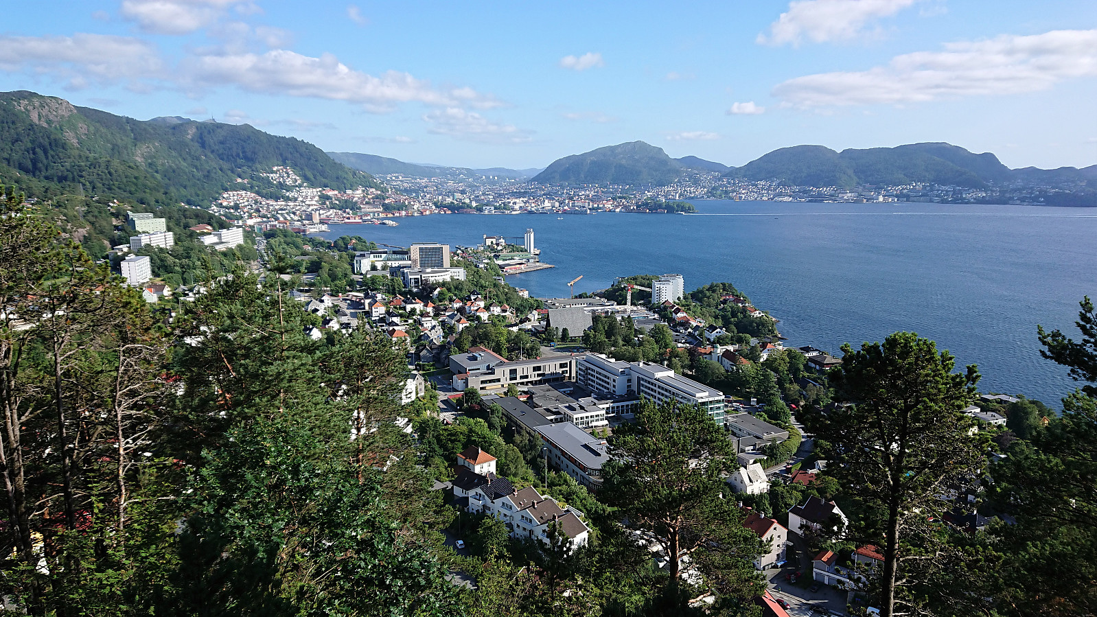 Short local afternoon hike.
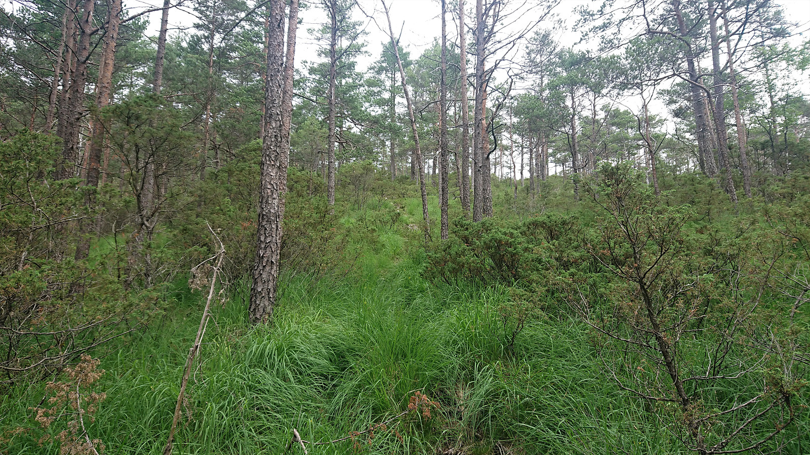
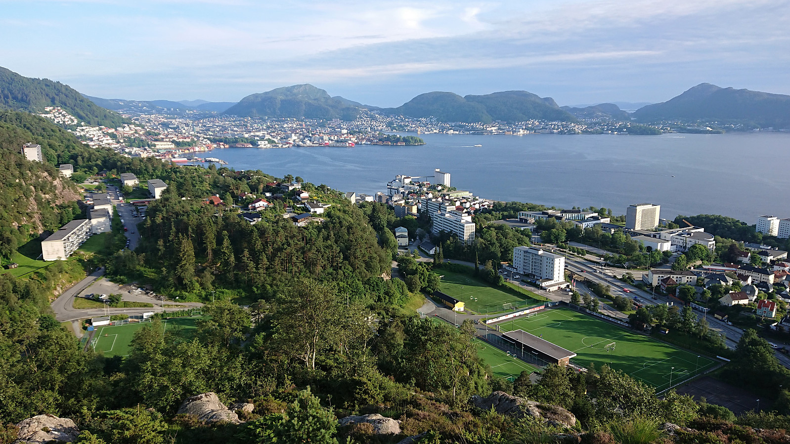
Munkebotn, Hellemyrstien and Furukammen
- Datum:
- 13.07.2021
- Tourcharakter:
- Wanderung
- Tourlänge:
- 1:53h
- Entfernung:
- 10,1km
 Local evening hike.
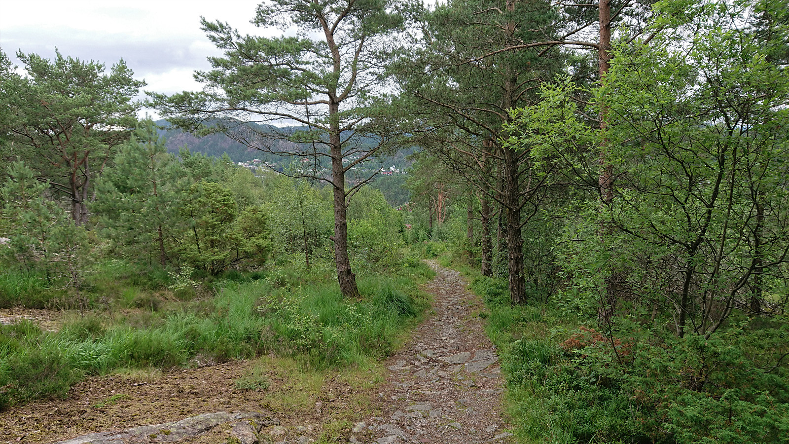
Ørneberget and Rognåsen
- Datum:
- 12.07.2021
- Tourcharakter:
- Bergtour
- Tourlänge:
- 1:22h
- Entfernung:
- 6,1km
 Local evening hike.
Four small hills south of Småvatnet and Storavatnet
- Datum:
- 11.07.2021
- Tourcharakter:
- Bergtour
- Tourlänge:
- 2:31h
- Entfernung:
- 8,5km
 On a hike with the main objective of visiting Grønabrekka , a recent addition to the Alle topper i Bergen list, I took the opportunity to explore the area south of Småvatnet and Storavatnet. This resulted in visiting three additional small hills, all with their own name, namely Myraskjena , Mathopsskjenet and Storhaugen , each now added as its own PB-element. To my surprise, all four summits, except for Storhaugen (which only required a very short off-trail detour), could be reached simply by following the many trails in the area, which were overall of good quality (even those not indicated on the map). This made for a much nicer hike than expected, despite the relatively limited views from most of the summits.
Update: two additional small hills that I happened to visited were later added (not by me) as their own PB-elements, namely N for Medhaugsflaten and NØ for Ytste Rotatjørna .
On a hike with the main objective of visiting Grønabrekka , a recent addition to the Alle topper i Bergen list, I took the opportunity to explore the area south of Småvatnet and Storavatnet. This resulted in visiting three additional small hills, all with their own name, namely Myraskjena , Mathopsskjenet and Storhaugen , each now added as its own PB-element. To my surprise, all four summits, except for Storhaugen (which only required a very short off-trail detour), could be reached simply by following the many trails in the area, which were overall of good quality (even those not indicated on the map). This made for a much nicer hike than expected, despite the relatively limited views from most of the summits.
Update: two additional small hills that I happened to visited were later added (not by me) as their own PB-elements, namely N for Medhaugsflaten and NØ for Ytste Rotatjørna .
Hellemyrstien
- Datum:
- 09.07.2021
- Tourcharakter:
- Wanderung
- Tourlänge:
- 1:15h
- Entfernung:
- 6,2km
 Local evening hike.
Stemhaugen ved Liavatnet
- Datum:
- 08.07.2021
- Tourcharakter:
- Bergtour
- Tourlänge:
- 0:59h
- Entfernung:
- 3,8km
 Short and wet evening hike for a visit of Stemhaugen ved Liavatnet . While there perhaps are some weak trails/tracks, I mainly ended up finding my own way, and in any case the summit was reached without any difficulties. Nice views across Liavatnet, although I'm pretty sure most hikers will not really see the point of ascending this small hill. After descending, I also included a walk along Liavatnet.
