Archiv - Nach Datum
Archiv - Nach Aktivität
-
Andere Tour (3)
- Kayaking (3)
-
Fahrradtour (108)
- Fahrradtour Straße (83)
- Fahrradtour gemischt (25)
-
Fahrzeugtour (9)
- Autotour (9)
-
Fußtour (1769)
- Bergtour (1047)
- Jogging (1)
- Spaziergang (53)
- Wanderung (668)
-
Skitour (109)
- Langlauf (44)
- Tourenskilauf (65)
Gesammelte Listen
-
Voss ≥ 100m pf.
(96/98)
 97%
97% -
Opptur Hordaland
(143/159)
89%
-
Stasjoner på Bergensbanen
(31/40)
77%
-
Ulvik ≥ 100m pf.
(28/38)
73%
-
Hordaland ≥ 100m pf.
(610/863)
70%
-
Mjølfjell PF > 100m
(21/31)
67%
-
Jondal ≥ 100m pf.
(15/23)
65%
-
Sunnhordland PF >= 100m
(104/186)
55%
-
Dagsturhyttene i Vestland
(33/61)
54%
-
Hordaland: Hardanger PF>=100m
(183/359)
50%
-
Kvinnherad ≥ 100m pf.
(40/79)
50%
-
DNT-hytter i Hordaland
(22/45)
48%
-
Sogndal ≥ 100m pf.
(23/81)
28%
-
Vik i Sogn ≥ 100m pf.
(8/46)
17%
-
DNT-hytter i Sogn og Fjordane
(8/47)
17%
-
Eidfjord ≥ 100m pf.
(6/42)
14%
-
Etne ≥ 100m pf.
(7/51)
13%
-
Ullensvang ≥ 100m pf.
(19/153)
12%
-
Sogn - Sør for Sognefjorden PF>=100m
(17/159)
10%
-
Opptur i Sogn og Fjordane peaks
(17/177)
9%

Bjørndalen
- Datum:
- 28.07.2018
- Tourcharakter:
- Wanderung
- Tourlänge:
- 1:28h
- Entfernung:
- 4,4km
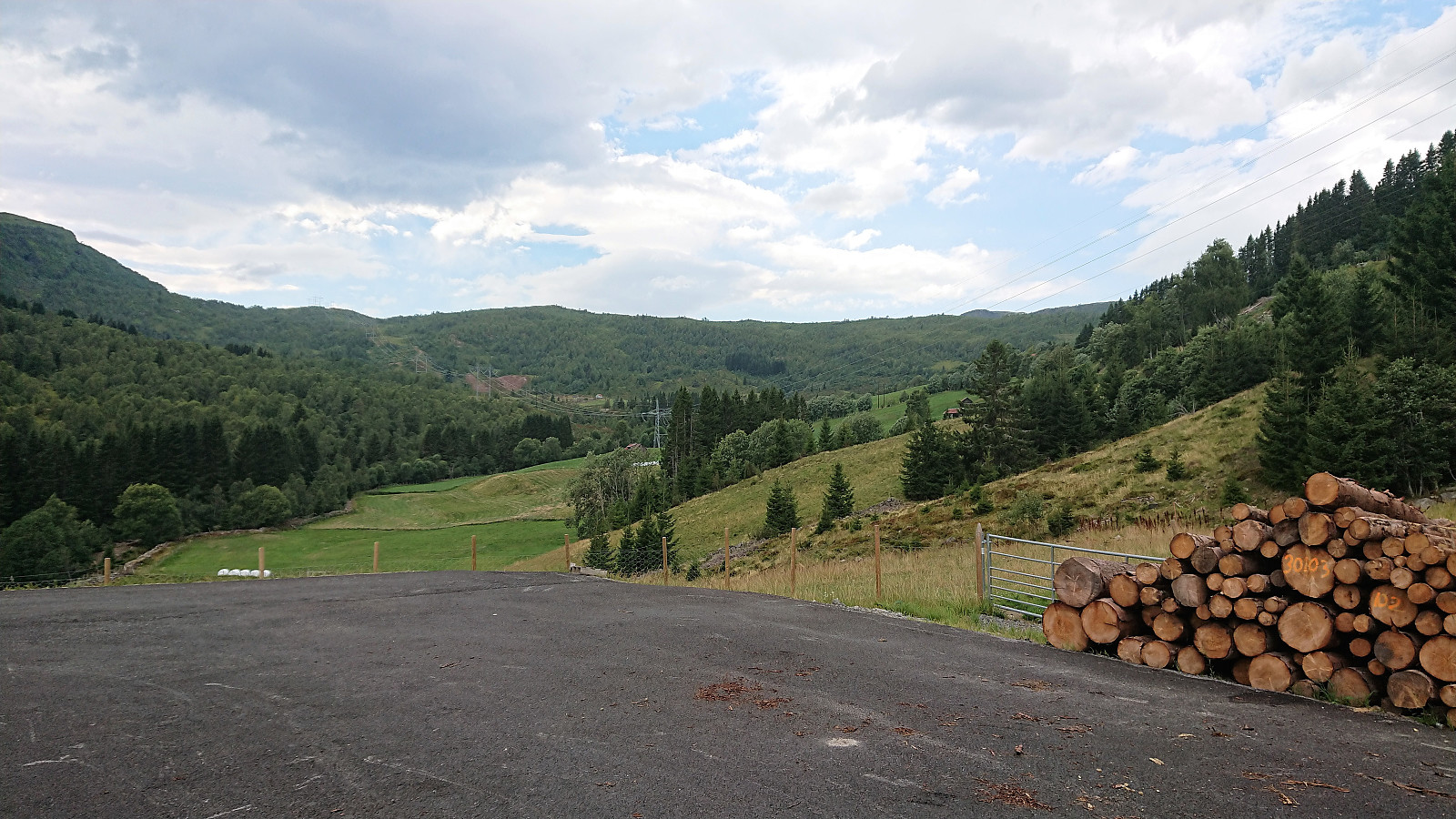 A hike in Øvstedalen that had to be cut short due to a thunder storm. The plan had been to follow the trail indicated on the map towards Fjærlandssetevatnet, but in Bjørndalen we came across a newly marked, but unnamed, trail/tractor road that we decided to try instead. Even though this trail started in the wrong direction, we assumed/hoped it would later turn north and take us where we wanted to go. However, it shortly started raining quite heavily and soon we could also hear thunder. We therefore took shelter as best we could and waited until the storm passed. It would probably not be the last we'd see of the rain though, so after following the trail a bit further, just to see if it turned in the wanted direction (which it seemed to do), we decided to rather return to the car and try again >>>
Dulpeknatten from Ivarsbu
- Datum:
- 23.07.2018
- Tourcharakter:
- Bergtour
- Tourlänge:
- 1:36h
- Entfernung:
- 4,6km
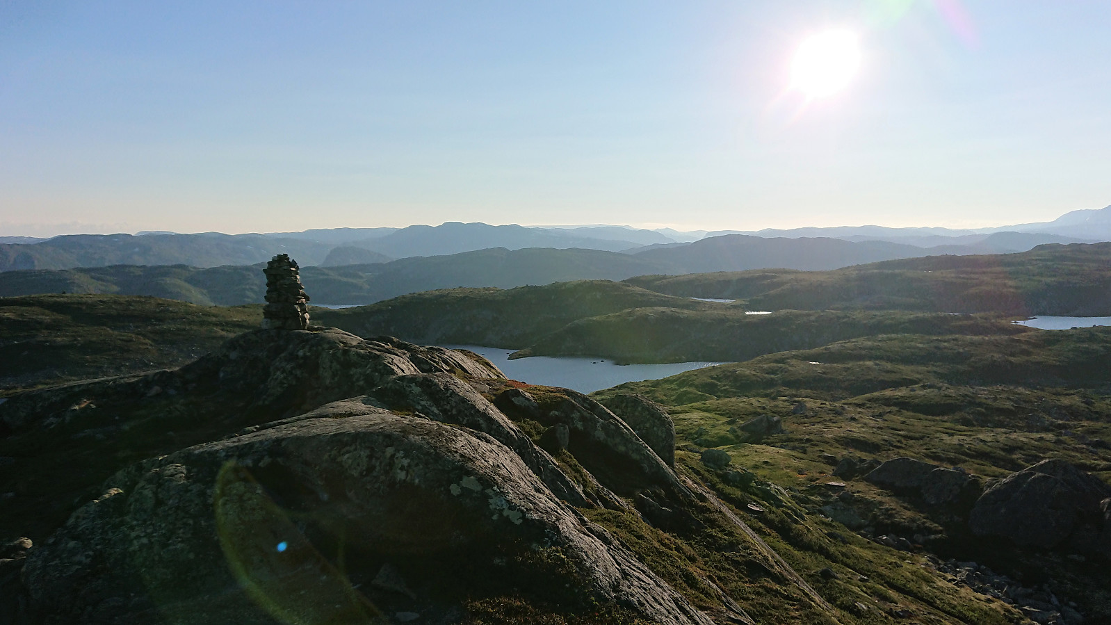
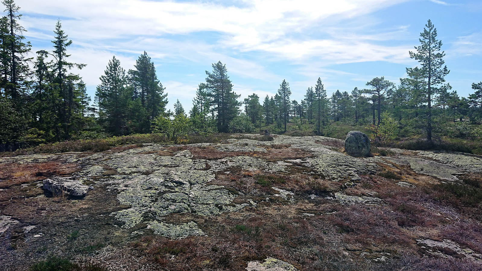 After the rather short hike to Stølefjell some of us decided to go straight for a second hike, this time south to Dulpeknatten . We followed trails (almost) all the way, adding an extra loop around Velse Stølevann on the way back to Ivarsbu . Dulpeknatten did not have a distinct highest point, more of a summit area, and the views where also rather limited. Still a nice short hike, but clearly not the kind of summit one travels long distances to visit.
Stølefjell from Ivarsbu
- Datum:
- 23.07.2018
- Tourcharakter:
- Bergtour
- Tourlänge:
- 2:02h
- Entfernung:
- 3,3km
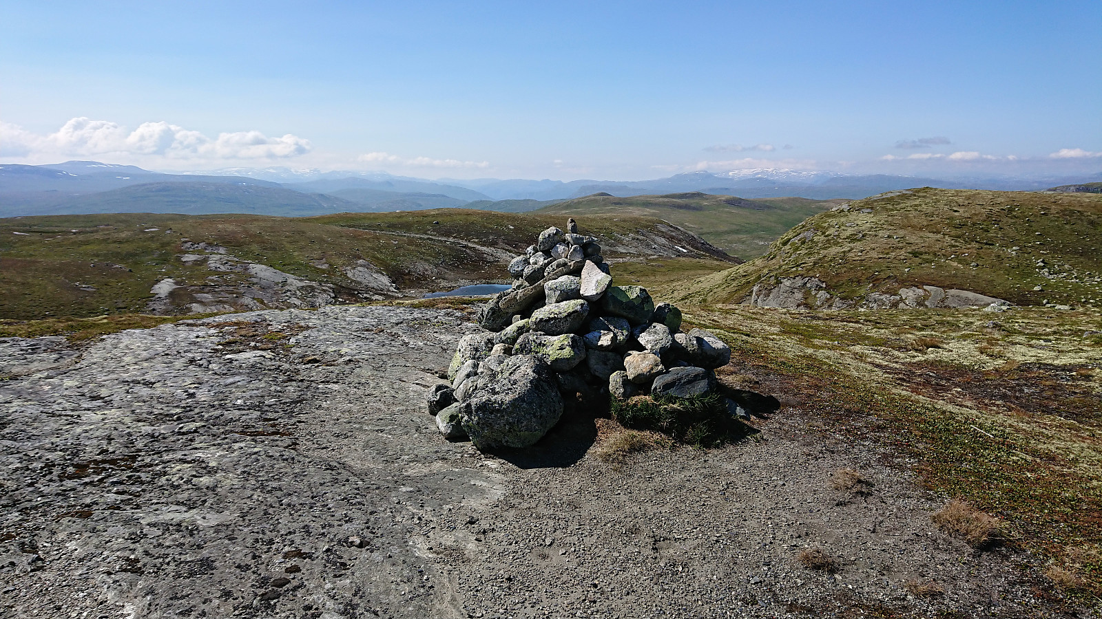
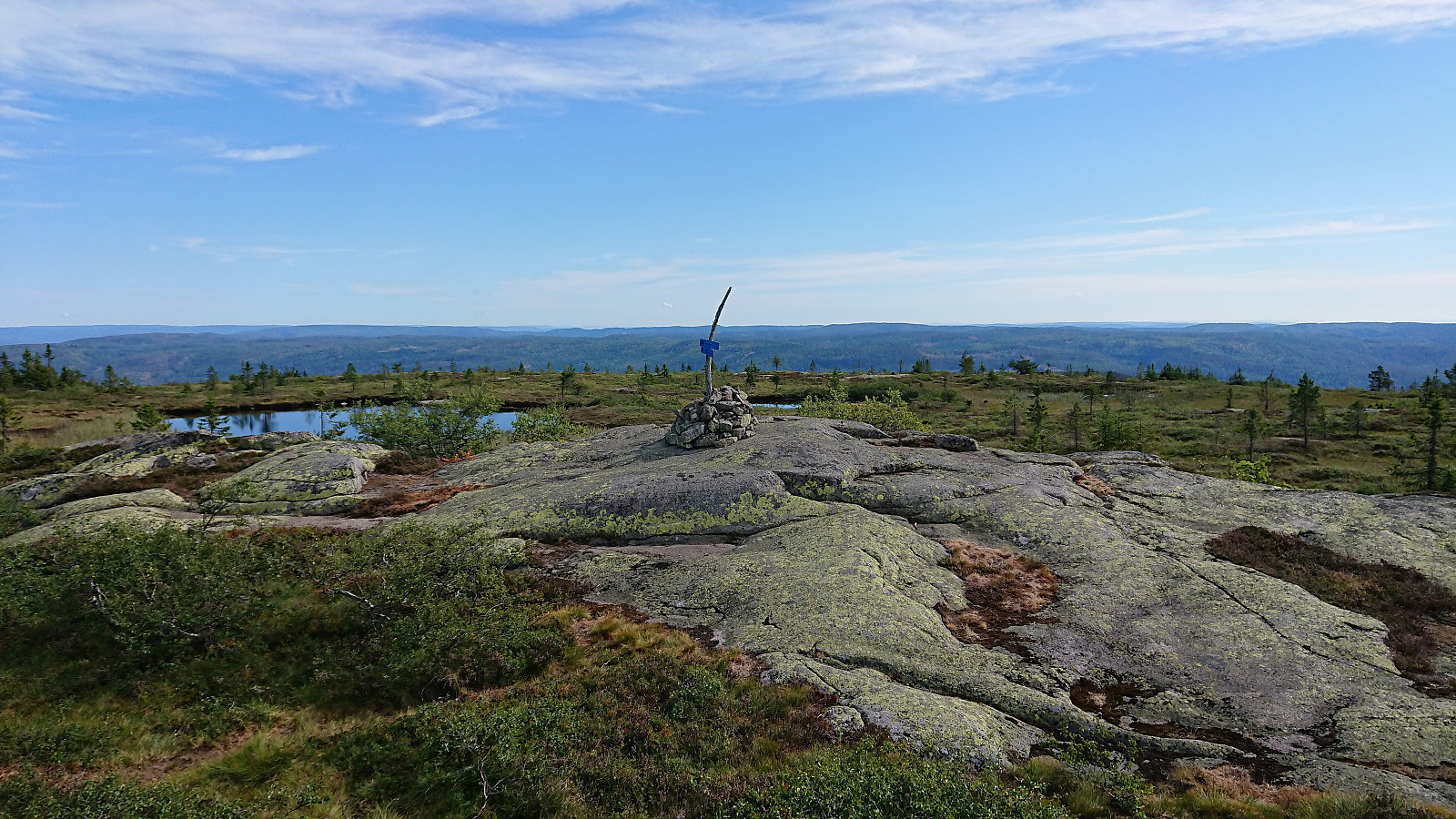 Short morning hike from Ivarsbu up the surprisingly steep trail to the cairn at Stølefjell . Great views from the summit, especially for such a short hike. Almost on par with yesterday's views from Styggmann . After a quick bite we returned the same way to Ivarsbu.
Styggmann from Ivarsbu
- Datum:
- 22.07.2018
- Tourcharakter:
- Bergtour
- Tourlänge:
- 6:39h
- Entfernung:
- 16,7km
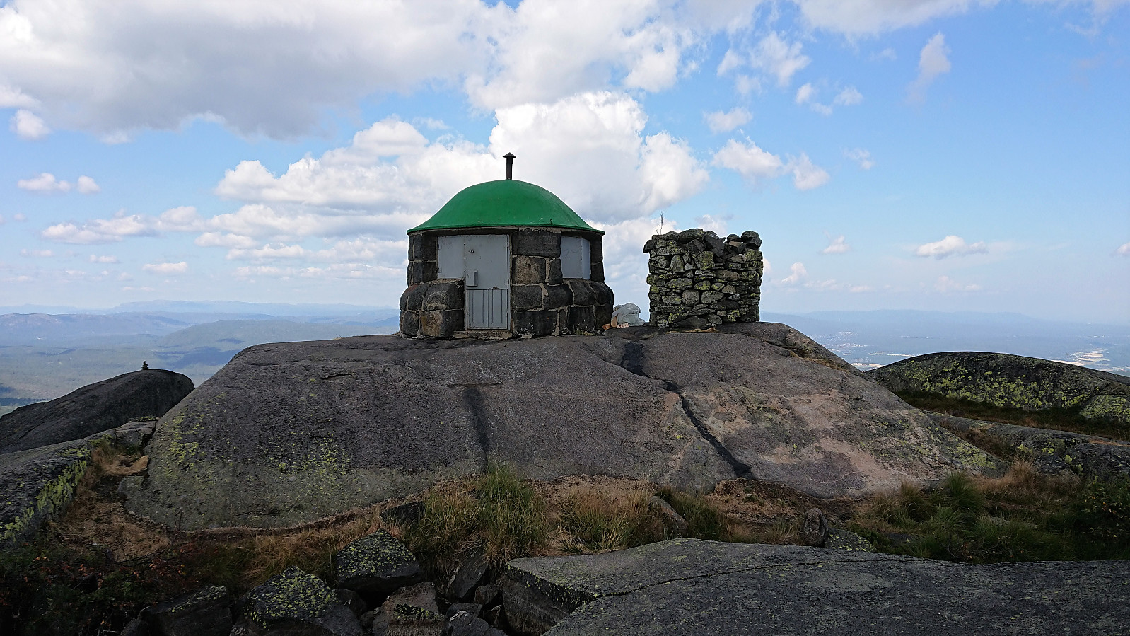 After spending the night at Ivarsbu we started out along the trails to Styggmann . Overall the trails where easy to follow. The only exception was in the area around Store Kongstjern where we ended up losing the trail for a short time. Just before reaching our main goal, we also made a short off-trail detour to visit the oddly shaped Rønseterfjellet . After reconnecting with the trail we continued to Styggmann where we had a brief lunch before starting our descent, choosing the alternative southern trail in order to make it into more of a roundtrip. Overall a nice hike that felt slightly longer than expected. Perhaps due to the large stretches inside the forest with limited views.
Prestholtskarvet
- Datum:
- 21.07.2018
- Tourcharakter:
- Bergtour
- Tourlänge:
- 3:08h
- Entfernung:
- 8,9km
 We used the standard route up Prestholtskardet from the parking lot at Prestholtseter before trying to follow the partially marked trail across the numerous rocks, and some remaining snow, towards the summit of Prestholtskarvet . Good views from the summit, but due to all the rocks, it is probably nicer to visit this summit in the winter time.
Kvasshovd
- Datum:
- 20.07.2018
- Tourcharakter:
- Bergtour
- Tourlänge:
- 1:58h
- Entfernung:
- 7,4km
 Short evening hike before spending the night at Haugastøl. All of the hike was along clear and easy-to-follow trails, although Kvasshovd itself was not indicated on any of the signs. The only trouble I had was missing my exit when heading east after visiting the summit, but the trail was quickly relocated. Much better views from the summit than expected, especially towards Hallingskarvet.
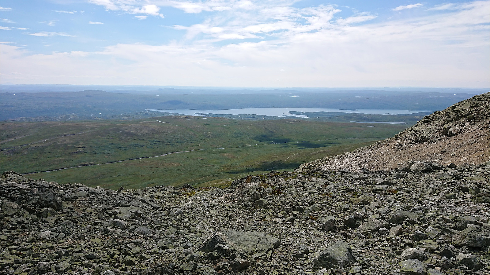
Dyranutane
- Datum:
- 20.07.2018
- Tourcharakter:
- Bergtour
- Tourlänge:
- 0:41h
- Entfernung:
- 3,5km
 Quick visit to Dyranutane while the rest of my party was taking a break at Dyranut . Started by following the marked trail northeast, but soon realized it was not heading for the summit. I therefore left the trail and easily made my own way to the cairn indicating the highest point at Dyranutane. Excellent views, especially towards Hardangerjøkulen . On the return I decided on a more direct route south to reconnect with the trail and soon found myself back at the car. A nice short hike for those wanting a break while driving across Hardangervidden.
Genome Campus Roundtrip
- Datum:
- 17.07.2018
- Tourcharakter:
- Spaziergang
- Entfernung:
- 4,7km
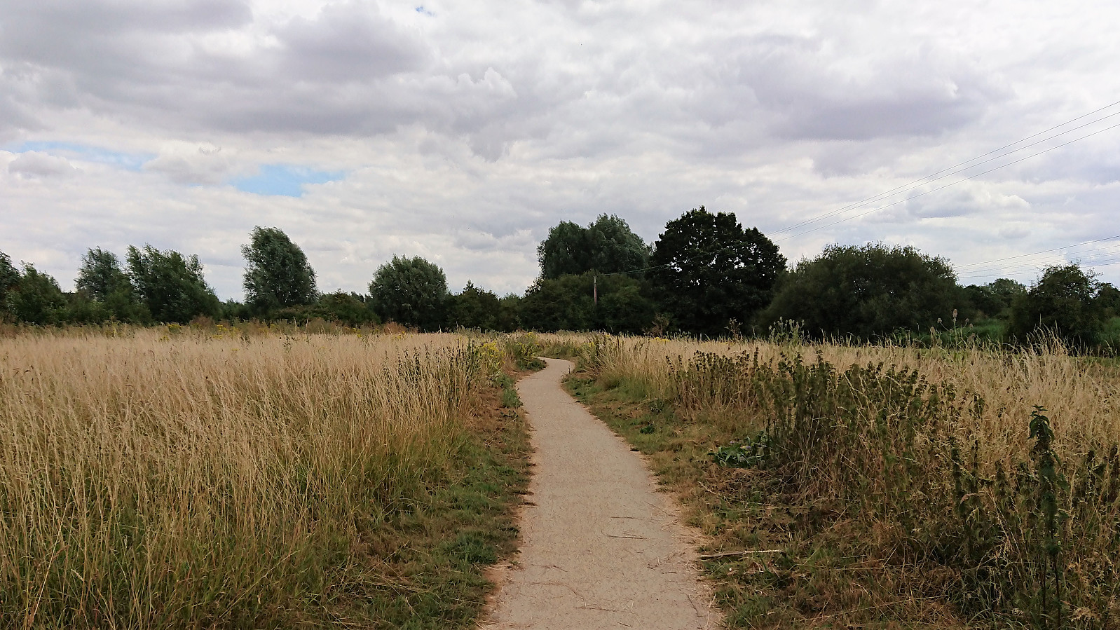 Short walk around the Genome Campus in Hinxton during a break when teaching at the European Bioinformatics Institute.
Fløyfjellet from Skredderdalen
- Datum:
- 14.07.2018
- Tourcharakter:
- Bergtour
- Tourlänge:
- 2:02h
- Entfernung:
- 6,5km
 Short local hike with an alternative steep route to Fløyfjellet from Skredderdalen. After quick visits of both Fløyfjellet and Fløyvarden , I followed a similiar steep and unusual route back down to Fjellveien. Note that while all of this hike follows trails, there are some steeper sections that require some very light scrambling.
Tveitakvitingen and Høganova
- Datum:
- 10.07.2018
- Tourcharakter:
- Bergtour
- Tourlänge:
- 6:35h
- Entfernung:
- 23,0km
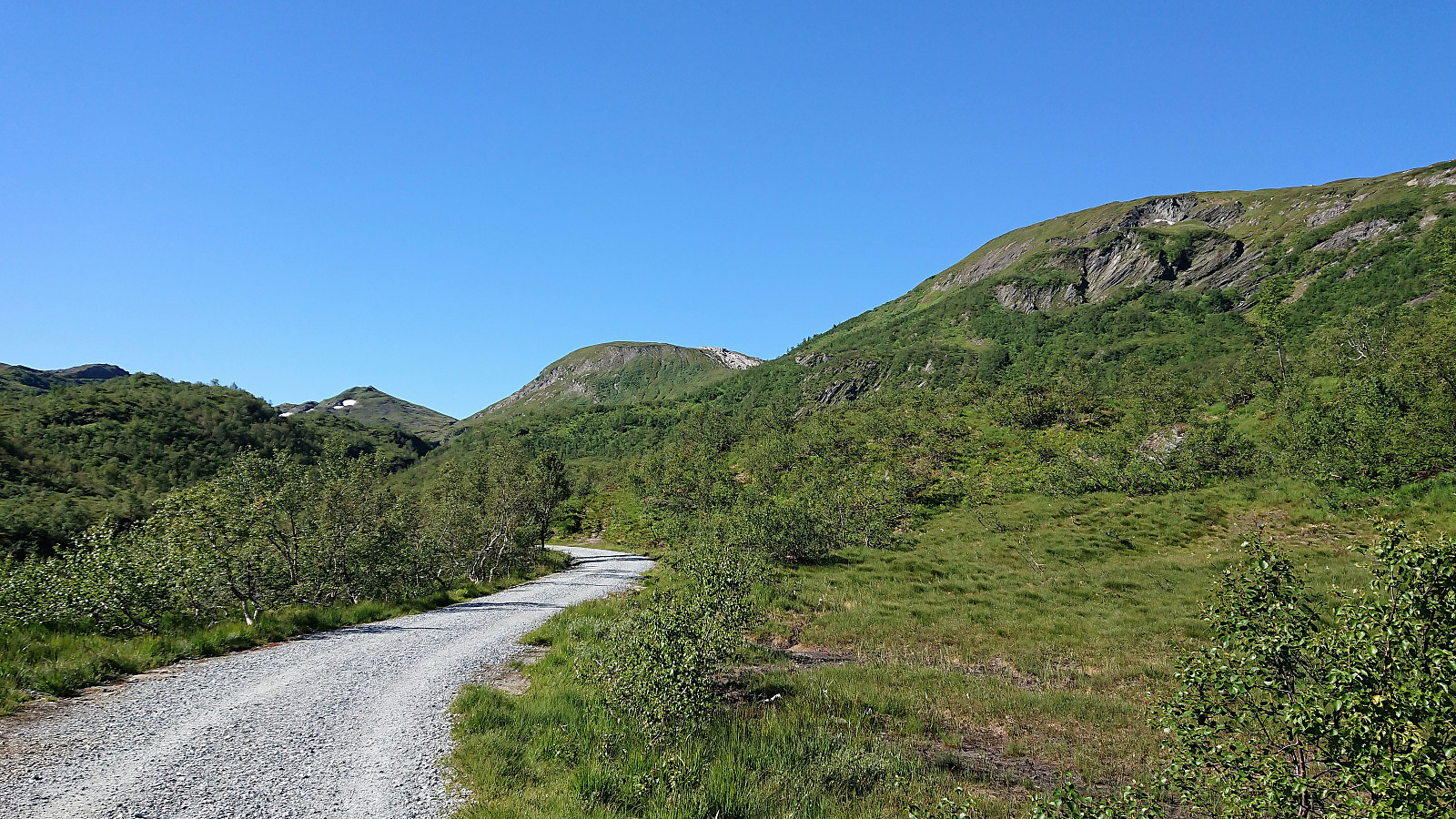 Såta, Gråskorvenuten and Gråfjellet
Started by taking the bus to Furedalen and from there following the gravel road, and later trail, south. Made quick visits to Såta , Gråskorvenuten and Gråfjellet before starting my final ascent towards Tveitakvitingen .
Tveitakvitingen
Until this point the trail was easy to follow (with the exception of the lack of trails to/from Gråskorvenuten and Gråfjellet), but while there were markers (red painted dots and arrows) for the last stretch towards Tveitakvitingen as well, these were frequently hidden beneath the snow and thus knowing exactly where the trail was supposed to be was a bit more difficult. The summit provided excellent 360 degrees views, but is more of a highest point at a large plateau than a single peak, which was a bit disappointing.
Høganova
From the summit I returned more or less >>>
Såta, Gråskorvenuten and Gråfjellet
Started by taking the bus to Furedalen and from there following the gravel road, and later trail, south. Made quick visits to Såta , Gråskorvenuten and Gråfjellet before starting my final ascent towards Tveitakvitingen .
Tveitakvitingen
Until this point the trail was easy to follow (with the exception of the lack of trails to/from Gråskorvenuten and Gråfjellet), but while there were markers (red painted dots and arrows) for the last stretch towards Tveitakvitingen as well, these were frequently hidden beneath the snow and thus knowing exactly where the trail was supposed to be was a bit more difficult. The summit provided excellent 360 degrees views, but is more of a highest point at a large plateau than a single peak, which was a bit disappointing.
Høganova
From the summit I returned more or less >>>
