Archiv - Nach Datum
Archiv - Nach Aktivität
-
Andere Tour (3)
- Kayaking (3)
-
Fahrradtour (108)
- Fahrradtour Straße (83)
- Fahrradtour gemischt (25)
-
Fahrzeugtour (9)
- Autotour (9)
-
Fußtour (1769)
- Bergtour (1047)
- Jogging (1)
- Spaziergang (53)
- Wanderung (668)
-
Skitour (109)
- Langlauf (44)
- Tourenskilauf (65)
Gesammelte Listen
-
Voss ≥ 100m pf.
(96/98)
 97%
97% -
Opptur Hordaland
(143/159)
89%
-
Stasjoner på Bergensbanen
(31/40)
77%
-
Ulvik ≥ 100m pf.
(28/38)
73%
-
Hordaland ≥ 100m pf.
(610/863)
70%
-
Mjølfjell PF > 100m
(21/31)
67%
-
Jondal ≥ 100m pf.
(15/23)
65%
-
Sunnhordland PF >= 100m
(104/186)
55%
-
Dagsturhyttene i Vestland
(33/61)
54%
-
Hordaland: Hardanger PF>=100m
(183/359)
50%
-
Kvinnherad ≥ 100m pf.
(40/79)
50%
-
DNT-hytter i Hordaland
(22/45)
48%
-
Sogndal ≥ 100m pf.
(23/81)
28%
-
Vik i Sogn ≥ 100m pf.
(8/46)
17%
-
DNT-hytter i Sogn og Fjordane
(8/47)
17%
-
Eidfjord ≥ 100m pf.
(6/42)
14%
-
Etne ≥ 100m pf.
(7/51)
13%
-
Ullensvang ≥ 100m pf.
(19/153)
12%
-
Sogn - Sør for Sognefjorden PF>=100m
(17/159)
10%
-
Opptur i Sogn og Fjordane peaks
(17/177)
9%

Snøkkja
- Datum:
- 10.04.2019
- Tourcharakter:
- Bergtour
- Tourlänge:
- 1:28h
- Entfernung:
- 7,1km
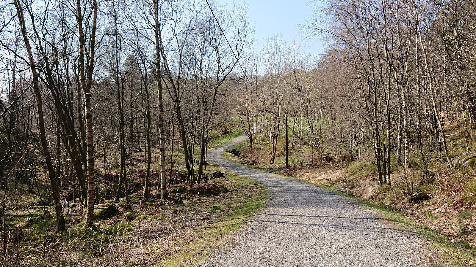
 After giving a talk at a meeting at Solstrand, I took advantage of already being in Os to make a quick visit to Snøkkja . Hopped on a bus to the ferry at Hatvik, and after crossing the fjord, continued on another bus to Skåte. I then walked back along the road to the gravel road to Skåtavatnet, where the gravel road turned into a tractor road, and soon into a trail. The road/trail forked several times, and with no signs for Snøkkja (or Snøkkjo which seemed to be the local name), but there were other signs, including several for Dallandsstølane, that could be followed instead.
At Dallandsstølane, or rather slightly northeast of Dallandsstølane, I was again on a gravel road, which I followed all the way to the marked trailhead for Snøkkja. Note that the trail can be easy to miss if coming from >>>
After giving a talk at a meeting at Solstrand, I took advantage of already being in Os to make a quick visit to Snøkkja . Hopped on a bus to the ferry at Hatvik, and after crossing the fjord, continued on another bus to Skåte. I then walked back along the road to the gravel road to Skåtavatnet, where the gravel road turned into a tractor road, and soon into a trail. The road/trail forked several times, and with no signs for Snøkkja (or Snøkkjo which seemed to be the local name), but there were other signs, including several for Dallandsstølane, that could be followed instead.
At Dallandsstølane, or rather slightly northeast of Dallandsstølane, I was again on a gravel road, which I followed all the way to the marked trailhead for Snøkkja. Note that the trail can be easy to miss if coming from >>>
Haukeland sykehus to Sandvikstorget
- Datum:
- 08.04.2019
- Tourcharakter:
- Wanderung
- Tourlänge:
- 0:59h
- Entfernung:
- 5,4km
 Another short walk on the way home from work.
Skuteviken to Lønborg
- Datum:
- 07.04.2019
- Tourcharakter:
- Wanderung
- Tourlänge:
- 2:04h
- Entfernung:
- 8,2km
 Short local hike from Skuteviken to Lønborg after yesterday's extended hike.
Husdalsfjellet and Hiklettane - roundtrip
- Datum:
- 06.04.2019
- Tourcharakter:
- Bergtour
- Tourlänge:
- 6:46h
- Entfernung:
- 24,3km
 Started by taking the bus to Bjørsvik (bus stop called "Bjørsvik kryss") and from there continuing along the main road for about 100 meters until following the road toward Molvik. Did not stay long on this road though before switching to the very nice gravel road up to Husdalen. (Note that the gravel road is blocked with a locked gate at the very start, but there are a couple of possible parking locations in the area.)
Upon arriving in Husdalen I asked for directions and thus easily located the start of the unmarked trailhead for Husdalsfjellet . The directions were as follows: head for the last small house to the north and from there continue upwards to the right of the pine forest. I did as suggested, and shortly found myself on a rather steep trail which soon consisted of numerous old stone >>>
Started by taking the bus to Bjørsvik (bus stop called "Bjørsvik kryss") and from there continuing along the main road for about 100 meters until following the road toward Molvik. Did not stay long on this road though before switching to the very nice gravel road up to Husdalen. (Note that the gravel road is blocked with a locked gate at the very start, but there are a couple of possible parking locations in the area.)
Upon arriving in Husdalen I asked for directions and thus easily located the start of the unmarked trailhead for Husdalsfjellet . The directions were as follows: head for the last small house to the north and from there continue upwards to the right of the pine forest. I did as suggested, and shortly found myself on a rather steep trail which soon consisted of numerous old stone >>>
Oeiras to Paco de Arcos
- Datum:
- 03.04.2019
- Tourcharakter:
- Spaziergang
- Entfernung:
- 3,2km
 Repeat of yesterday's walk from Instituto Gulbenkian de Ciência in Oeiras to Paco de Arcos in Portugal.
Oeiras to Paco de Arcos
- Datum:
- 02.04.2019
- Tourcharakter:
- Spaziergang
- Entfernung:
- 3,6km
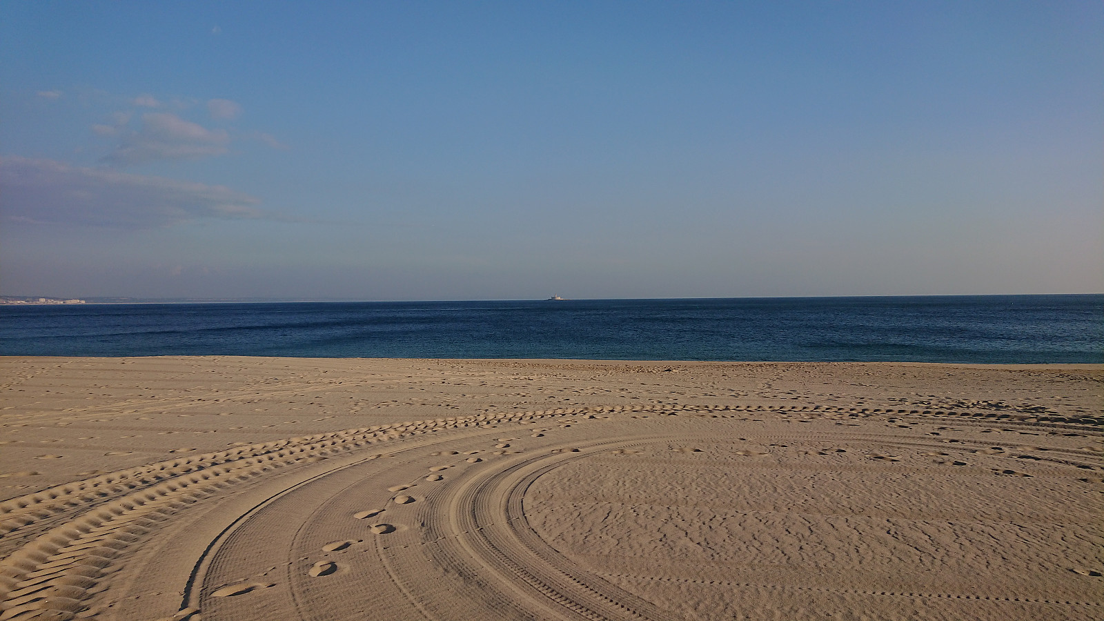 Short walk from Instituto Gulbenkian de Ciência in Oeiras to Paco de Arcos while teaching at a course in Portugal.
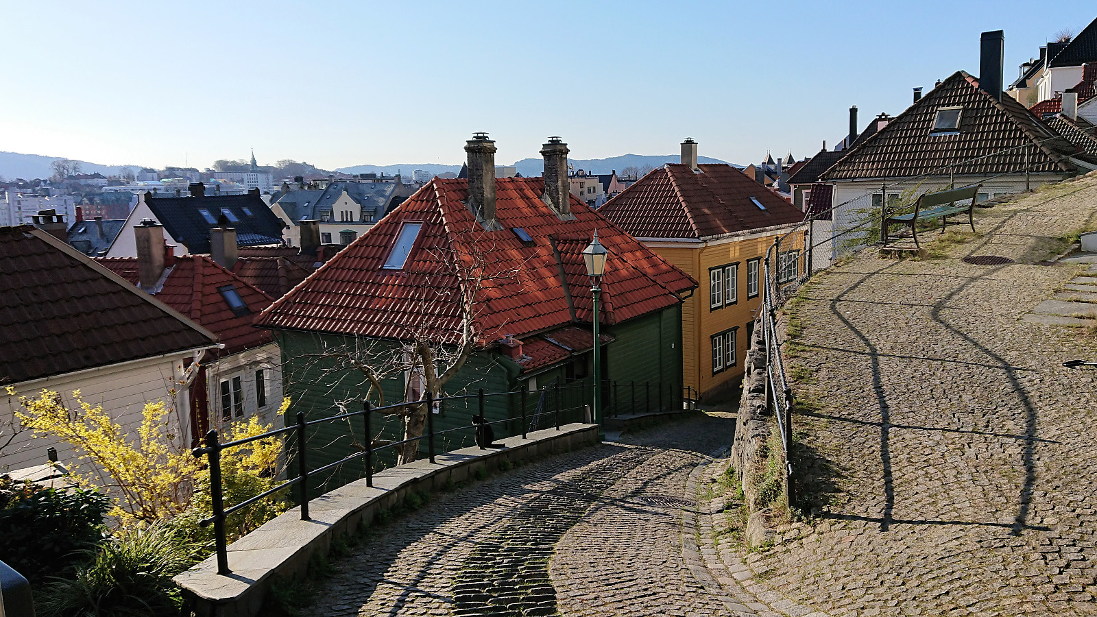
Across Hellen festning
- Datum:
- 31.03.2019
- Tourcharakter:
- Wanderung
- Tourlänge:
- 0:22h
- Entfernung:
- 2,2km
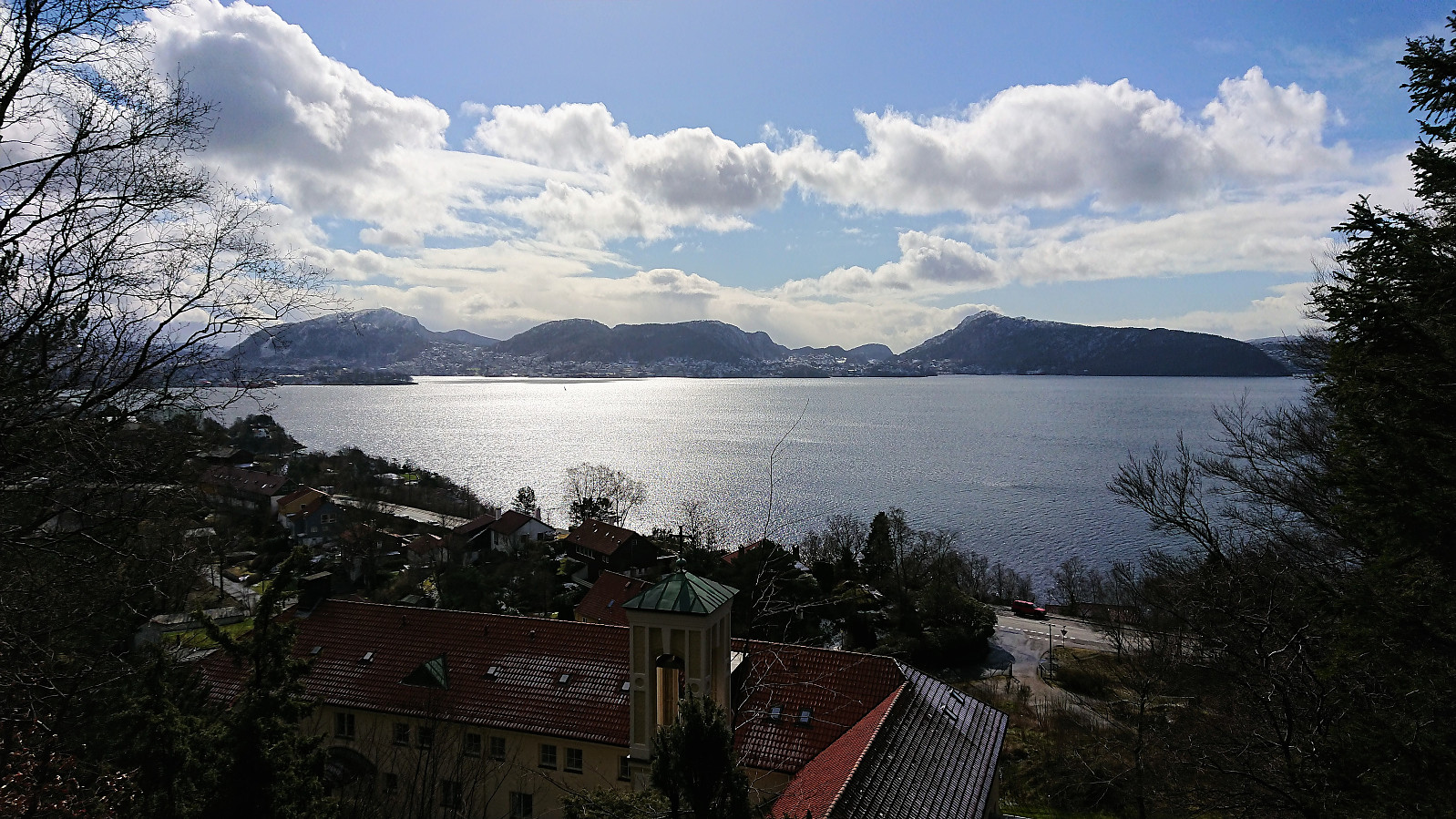 Did not really have the time for a hike today, but managed to squeeze in a quick visit to Hellen festning.
Across Hellen festning
- Datum:
- 30.03.2019
- Tourcharakter:
- Wanderung
- Tourlänge:
- 0:33h
- Entfernung:
- 3,1km
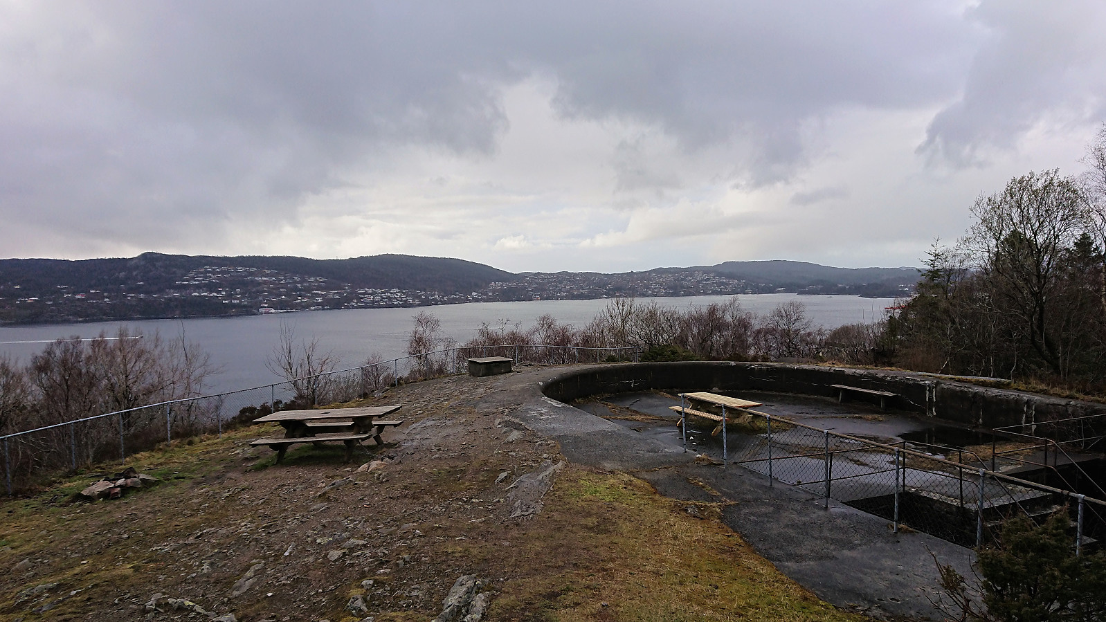 Short local hike across Hellen festning.
Drangskollen
- Datum:
- 25.03.2019
- Tourcharakter:
- Bergtour
- Tourlänge:
- 2:38h
- Entfernung:
- 9,5km
 Tempted by the nice weather I left work a bit early and hopped on a bus to Kleppe (or rather buses and ferry), but sadly the sun did not stick around and was almost completely hidden behind gray clouds even before I got off the bus.
From the bus stop (called "Kleppe austre"), I continued north along the main road until reaching the relatively new gravel road to Haugo. By following the gravel road I easily arrived at Drangevågen, from where I continued on a trail to Drangen.
The first part of the route up the gorge behind Drangen was easy enough, there was even the odd trail marker. But further up the trail split, or perhaps more likely a deer track headed left and the trail continued to the right, and soon both trails pretty much disappeared.
I first tried the left option, but quickly >>>
Tempted by the nice weather I left work a bit early and hopped on a bus to Kleppe (or rather buses and ferry), but sadly the sun did not stick around and was almost completely hidden behind gray clouds even before I got off the bus.
From the bus stop (called "Kleppe austre"), I continued north along the main road until reaching the relatively new gravel road to Haugo. By following the gravel road I easily arrived at Drangevågen, from where I continued on a trail to Drangen.
The first part of the route up the gorge behind Drangen was easy enough, there was even the odd trail marker. But further up the trail split, or perhaps more likely a deer track headed left and the trail continued to the right, and soon both trails pretty much disappeared.
I first tried the left option, but quickly >>>
Melshovden
- Datum:
- 23.03.2019
- Tourcharakter:
- Bergtour
- Tourlänge:
- 1:15h
- Entfernung:
- 3,3km
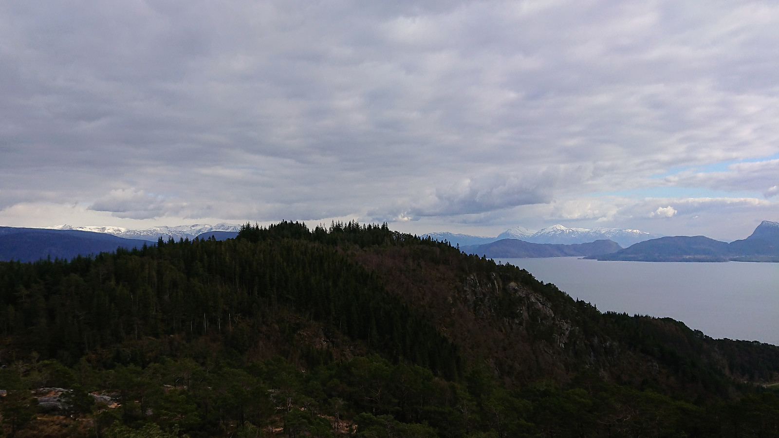
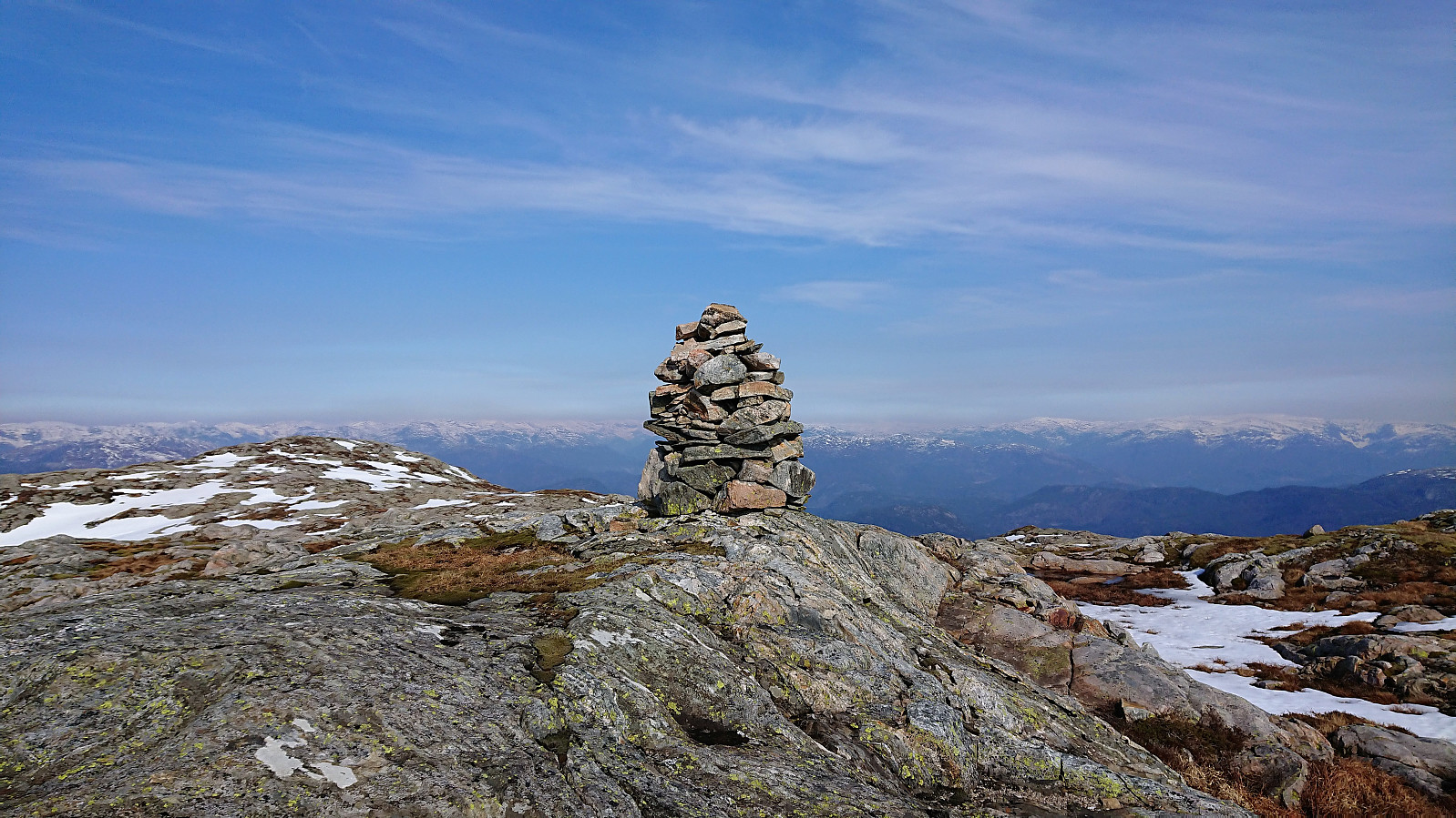
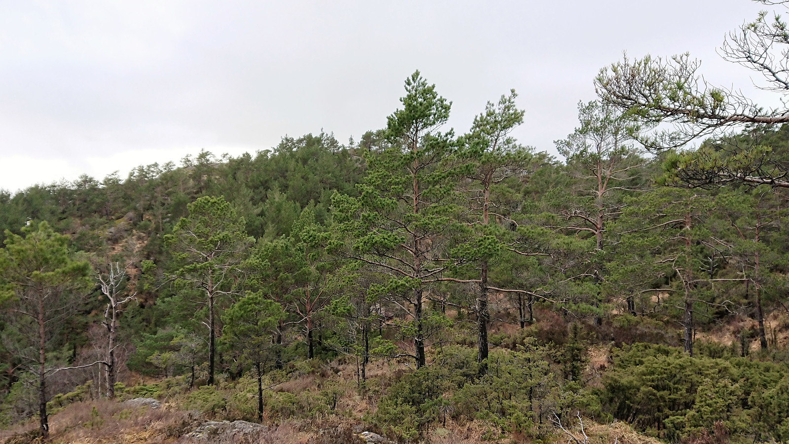
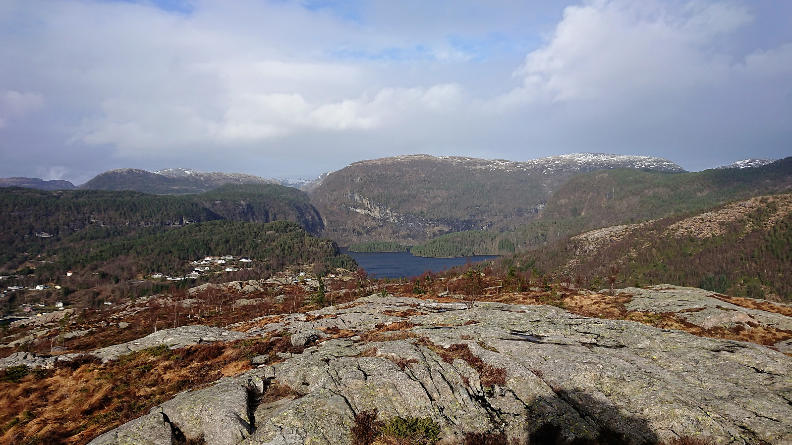 Started by taking the bus (or rather buses, including a quick visit to Fureberget ) to Sørkvingo where I easily located the marked trailhead for Melshovden . The trail itself was not marked as far as I could tell, but it was straightforward to follow, although a bit slippery at times, predominantly consisting of wet rocky surfaces. Most of my ascent was out of the wind, but as I got closer to the summit the wind started to pick up and the large cairn came in handy as a shelter. Excellent views from the summit, clearly worth the long bus ride! After numerous pictures I started my descent, making it to the bus stop at Sørkvingo with 10-15 minutes to spare. In summary, a very nice short hike that can be highly recommended!
