Archiv - Nach Datum
Archiv - Nach Aktivität
-
Andere Tour (3)
- Kayaking (3)
-
Fahrradtour (108)
- Fahrradtour Straße (83)
- Fahrradtour gemischt (25)
-
Fahrzeugtour (9)
- Autotour (9)
-
Fußtour (1871)
- Bergtour (1110)
- Jogging (1)
- Spaziergang (55)
- Wanderung (705)
-
Skitour (116)
- Langlauf (47)
- Tourenskilauf (69)
Gesammelte Listen
-
Utvalgte topper og turmål i Bergen
(346/347)
 99%
99% -
Alle topper i Bergen
(391/398)
98%
-
Voss ≥ 100m pf.
(96/98)
97%
-
Opptur Hordaland
(144/159)
90%
-
Stasjoner på Bergensbanen
(31/40)
77%
-
Ulvik ≥ 100m pf.
(28/38)
73%
-
Hordaland ≥ 100m pf.
(622/863)
72%
-
Mjølfjell PF > 100m
(21/31)
67%
-
Jondal ≥ 100m pf.
(15/23)
65%
-
Dagsturhyttene i Vestland
(36/61)
59%
-
Sunnhordland PF >= 100m
(105/186)
56%
-
Hordaland: Hardanger PF>=100m
(194/359)
54%
-
DNT-hytter i Hordaland
(23/45)
51%
-
Kvinnherad ≥ 100m pf.
(40/79)
50%
-
Eidfjord ≥ 100m pf.
(13/42)
30%
-
Sogndal ≥ 100m pf.
(23/81)
28%
-
Gulen ≥ 100m pf.
(14/54)
25%
-
Vik i Sogn ≥ 100m pf.
(10/46)
21%
-
Sogn - Sør for Sognefjorden PF>=100m
(30/159)
18%
-
DNT-hytter i Sogn og Fjordane
(8/47)
17%

Small hills east of Sotrabroen
- Datum:
- 15.01.2022
- Tourcharakter:
- Bergtour
- Tourlänge:
- 2:06h
- Entfernung:
- 6,8km
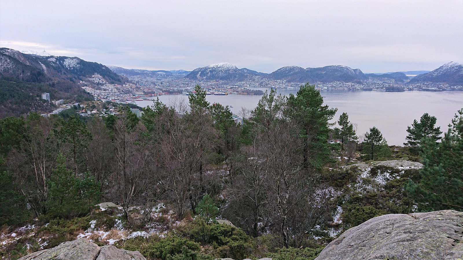
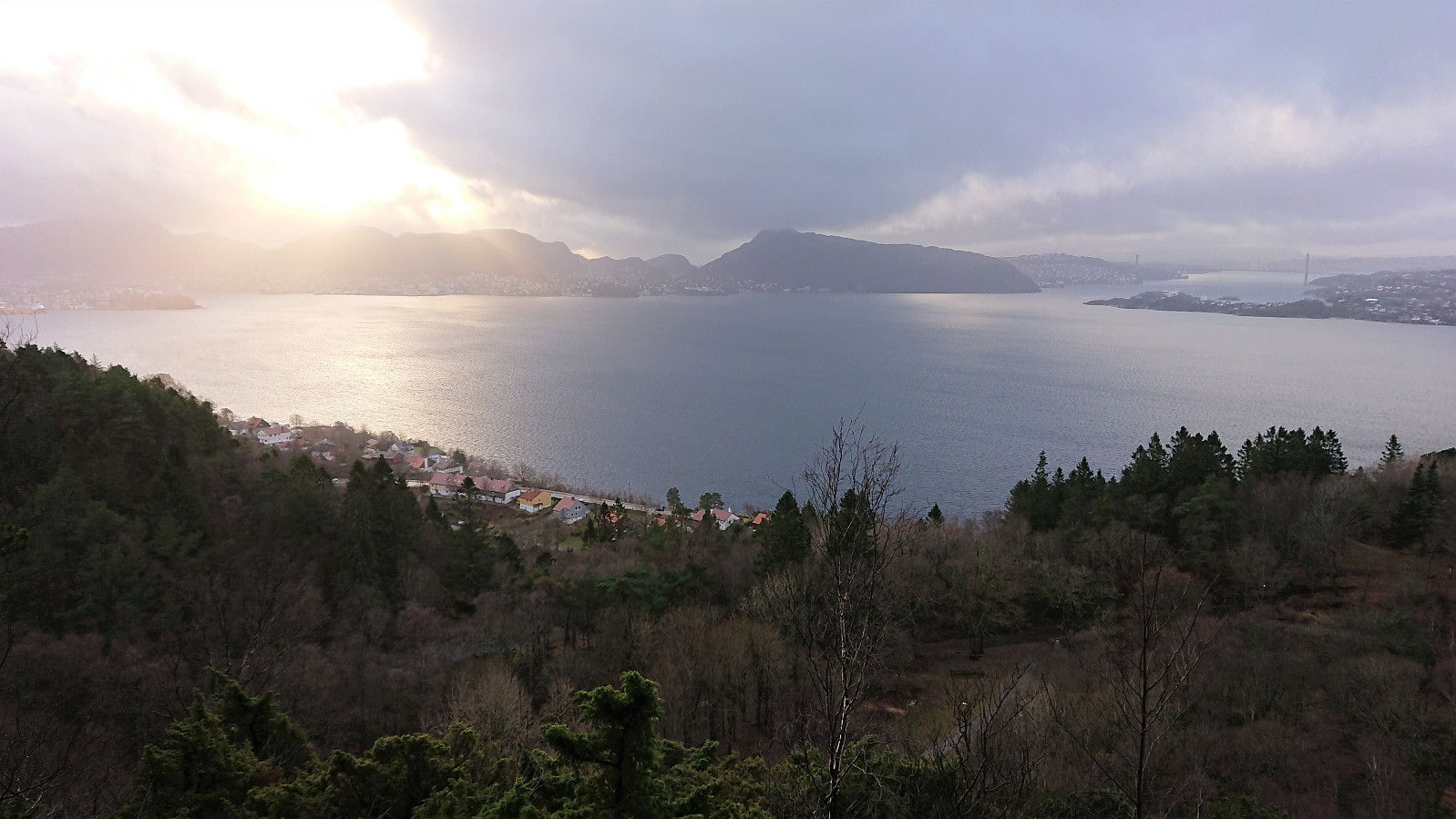
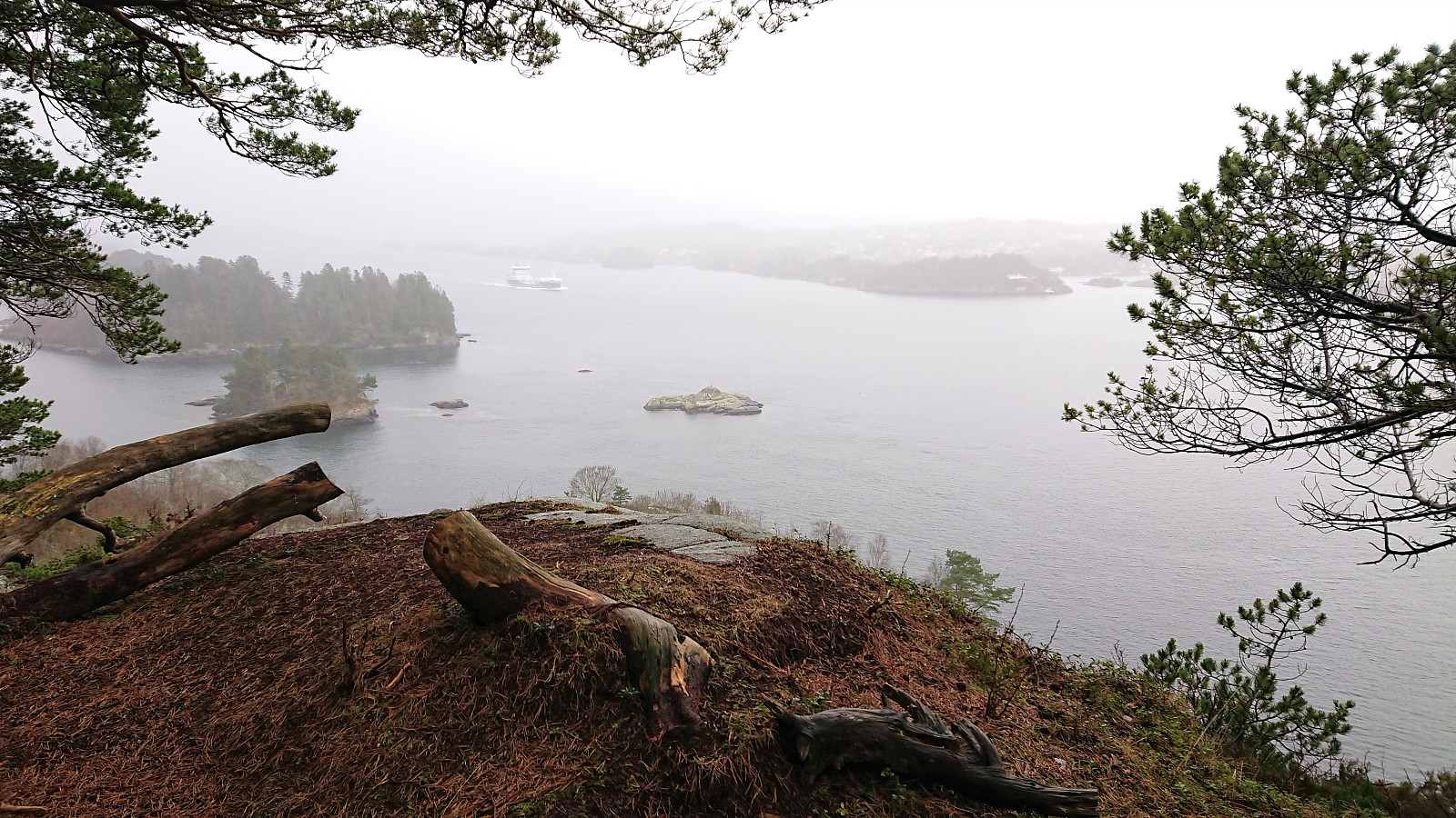 An overall gray Saturday was used to visit small peaks on the Utvalgte topper og turmål i Bergen list. Thanks to knutsverre (Knut S. Andersen) 's recent reports, it was overall straightforward to get to all of the summits. Skipparhaugen was ascended directly from the southeast in order to avoid a detour. This required a bit of easy scrambling at the start, but was otherwise unproblematic. After a quick visit of Storhaugen , which had a trail all the way to the summit, I made a detour to Janahaugen. The summit can be easily reached via a trail, but I did not add it as a new PB element as there is a higher point (inside a private garden) just to the north of where Janahaugen is indicated on the map.
Ramsvikhaugen was ascended from the bus stop to the east. Here there was a trail that could be followed all the way to the summit. The trailhead was not very clear, but the trail itself was easy to >>>
An overall gray Saturday was used to visit small peaks on the Utvalgte topper og turmål i Bergen list. Thanks to knutsverre (Knut S. Andersen) 's recent reports, it was overall straightforward to get to all of the summits. Skipparhaugen was ascended directly from the southeast in order to avoid a detour. This required a bit of easy scrambling at the start, but was otherwise unproblematic. After a quick visit of Storhaugen , which had a trail all the way to the summit, I made a detour to Janahaugen. The summit can be easily reached via a trail, but I did not add it as a new PB element as there is a higher point (inside a private garden) just to the north of where Janahaugen is indicated on the map.
Ramsvikhaugen was ascended from the bus stop to the east. Here there was a trail that could be followed all the way to the summit. The trailhead was not very clear, but the trail itself was easy to >>>
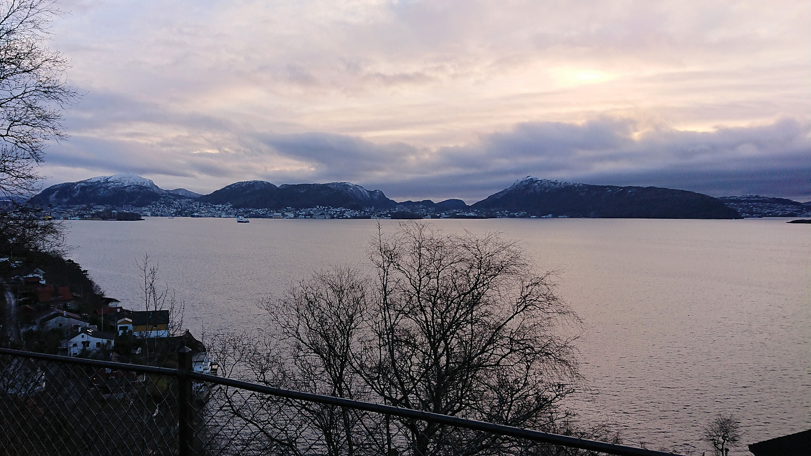
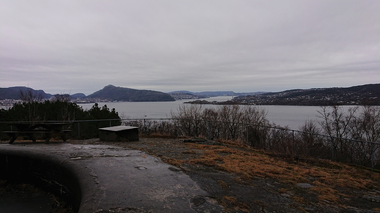
Fjellveien and Sandviksbatteriet
- Datum:
- 14.01.2022
- Tourcharakter:
- Wanderung
- Tourlänge:
- 1:57h
- Entfernung:
- 9,7km
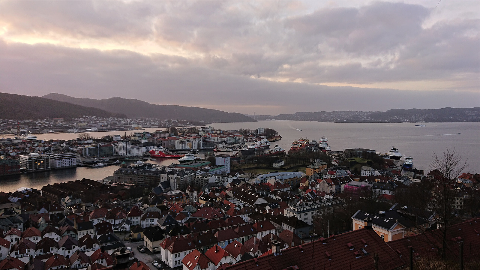 Left the home office a bit earlier than usual to get time for a slightly longer hike before it got dark.
Across Hellen festning
- Datum:
- 11.01.2022
- Tourcharakter:
- Wanderung
- Tourlänge:
- 0:33h
- Entfernung:
- 3,0km
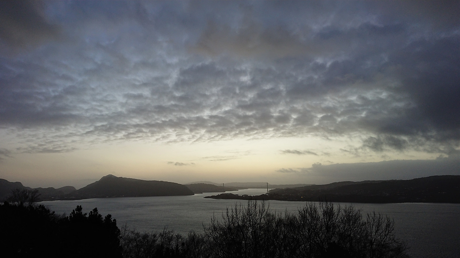 Another short local hike just after sunset.
Across Hellen festning
- Datum:
- 10.01.2022
- Tourcharakter:
- Wanderung
- Tourlänge:
- 0:33h
- Entfernung:
- 3,1km
 Short local hike just after sunset.
Hellemyrstien and Ørneberget
- Datum:
- 09.01.2022
- Tourcharakter:
- Bergtour
- Tourlänge:
- 1:40h
- Entfernung:
- 7,3km
 Local hike on partly ice-covered roads and trails.
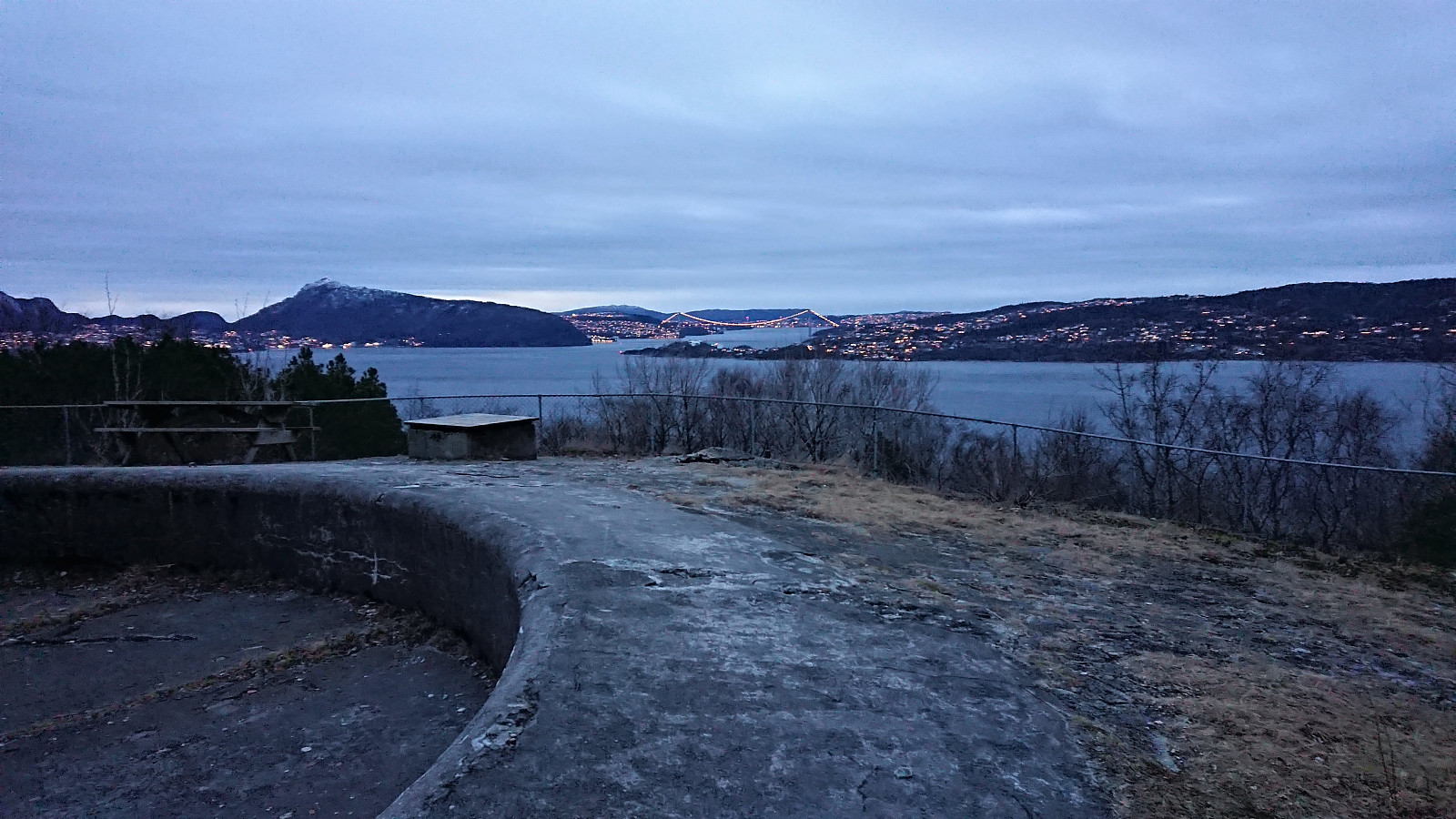
Across Hellen festning
- Datum:
- 08.01.2022
- Tourcharakter:
- Wanderung
- Tourlänge:
- 0:46h
- Entfernung:
- 3,7km
 Short local hike trying to get back on track after three days with flu-like symptoms and overall low energy after my third dose of the COVID-19 vaccine.
Ørneberget and Hellen festning
- Datum:
- 05.01.2022
- Tourcharakter:
- Bergtour
- Tourlänge:
- 1:03h
- Entfernung:
- 4,2km
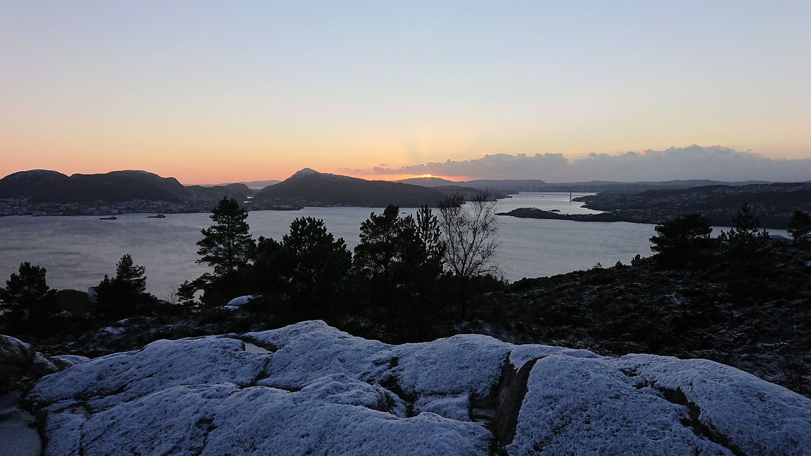 Short local hike to catch the sunset from Ørneberget.
Hellen festning and Furukammen
- Datum:
- 03.01.2022
- Tourcharakter:
- Wanderung
- Tourlänge:
- 0:43h
- Entfernung:
- 3,6km
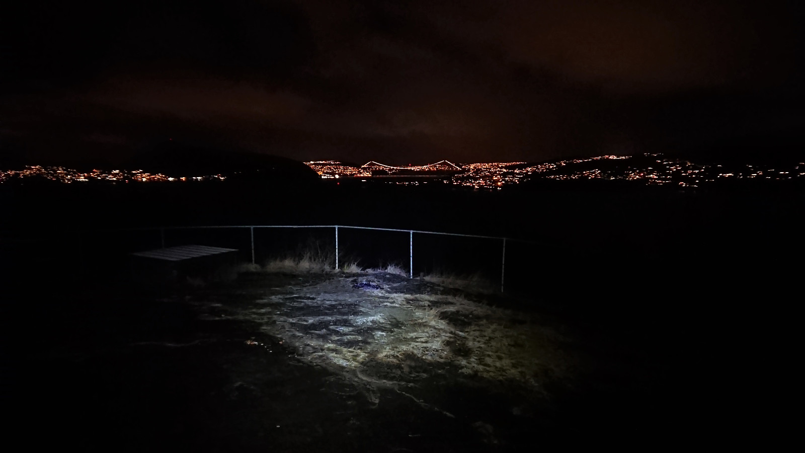 Short local evening hike after work. A powerful hail shower at the top of Øyjorden made me skip the planned visit of Ørneberget .
Hellen festning and Ørneberget
- Datum:
- 02.01.2022
- Tourcharakter:
- Bergtour
- Tourlänge:
- 1:10h
- Entfernung:
- 4,9km
 A short local hike due to my original plan having to be abandoned when the required bus did not show up...
Hellen festning and Helleneset
- Datum:
- 01.01.2022
- Tourcharakter:
- Wanderung
- Tourlänge:
- 0:49h
- Entfernung:
- 4,0km
 Short local hike on a gray start of the new year.
