Archiv - Nach Datum
Archiv - Nach Aktivität
-
Andere Tour (3)
- Kayaking (3)
-
Fahrradtour (110)
- Fahrradtour Straße (85)
- Fahrradtour gemischt (25)
-
Fahrzeugtour (9)
- Autotour (9)
-
Fußtour (1887)
- Bergtour (1116)
- Jogging (1)
- Spaziergang (59)
- Wanderung (711)
-
Skitour (116)
- Langlauf (47)
- Tourenskilauf (69)
Gesammelte Listen
-
Utvalgte topper og turmål i Bergen
(348/349)
 99%
99% -
Alle topper i Bergen
(391/398)
98%
-
Voss ≥ 100m pf.
(96/98)
97%
-
Opptur Hordaland
(144/159)
90%
-
Stasjoner på Bergensbanen
(33/40)
82%
-
Ulvik ≥ 100m pf.
(28/38)
73%
-
Hordaland ≥ 100m pf.
(622/863)
72%
-
Mjølfjell PF > 100m
(21/31)
67%
-
Jondal ≥ 100m pf.
(15/23)
65%
-
Dagsturhyttene i Vestland
(36/61)
59%
-
Sunnhordland PF >= 100m
(105/186)
56%
-
Hordaland: Hardanger PF>=100m
(194/359)
54%
-
DNT-hytter i Hordaland
(23/45)
51%
-
Kvinnherad ≥ 100m pf.
(40/79)
50%
-
Eidfjord ≥ 100m pf.
(13/42)
30%
-
Sogndal ≥ 100m pf.
(23/81)
28%
-
Gulen ≥ 100m pf.
(15/54)
27%
-
Vik i Sogn ≥ 100m pf.
(10/46)
21%
-
Sogn - Sør for Sognefjorden PF>=100m
(31/159)
19%
-
DNT-hytter i Sogn og Fjordane
(8/47)
17%

Skiing across Vidden after dark
- Datum:
- 19.01.2024
- Tourcharakter:
- Tourenskilauf
- Tourlänge:
- 4:53h
- Entfernung:
- 21,1km
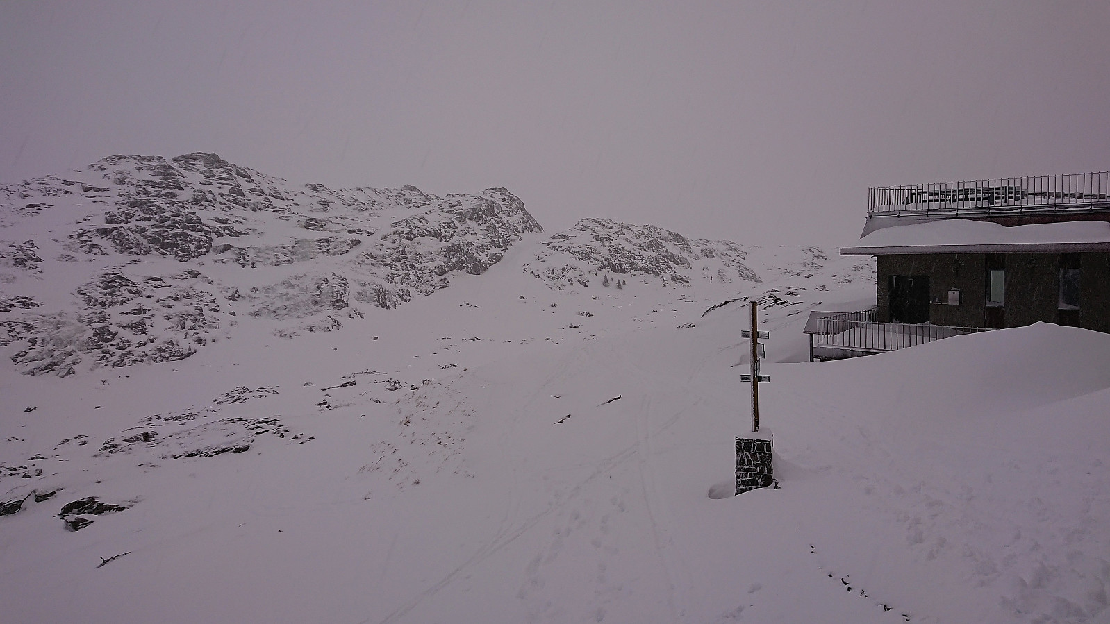 Started the weekend early to take advantage of the recent massive snowfall before it would start raining heavily during the next couple of days. After taking the cable car (230 kr) to the top of Ulriken (or more correctly to Ulriken Vest ), I put on the skis and headed towards Turnerhytten . The visibility was not the best and I constantly had to consider whether my plan to ski across Vidden would be doable after all. At Turnerhytten the visibility gradually improved and I decided to at least continue to Byfjellenes høyeste punkt before deciding. When getting there the visibility had thankfully further improved. Encouraged by also seeing other skiers I decided to continue.
Shortly after passing Skjulet I connected with the trails of the other skiers and could then easily follow these all the way to Borgaskaret. It would probably have been possible >>>
Started the weekend early to take advantage of the recent massive snowfall before it would start raining heavily during the next couple of days. After taking the cable car (230 kr) to the top of Ulriken (or more correctly to Ulriken Vest ), I put on the skis and headed towards Turnerhytten . The visibility was not the best and I constantly had to consider whether my plan to ski across Vidden would be doable after all. At Turnerhytten the visibility gradually improved and I decided to at least continue to Byfjellenes høyeste punkt before deciding. When getting there the visibility had thankfully further improved. Encouraged by also seeing other skiers I decided to continue.
Shortly after passing Skjulet I connected with the trails of the other skiers and could then easily follow these all the way to Borgaskaret. It would probably have been possible >>>
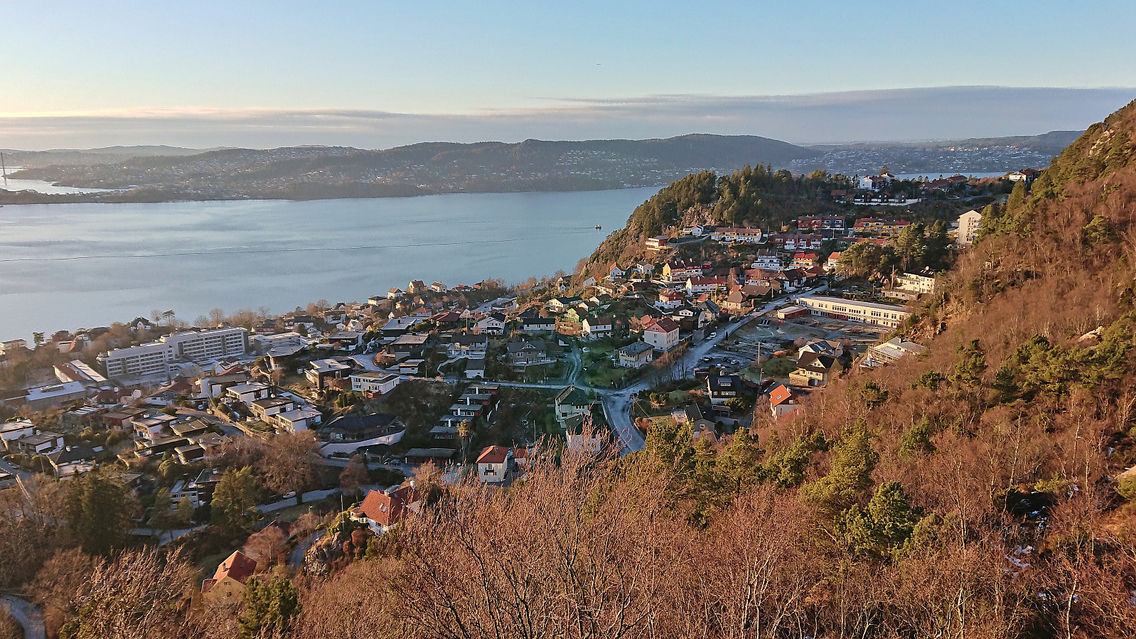
Furukammen and Hellen festning
- Datum:
- 18.01.2024
- Tourcharakter:
- Wanderung
- Tourlänge:
- 1:36h
- Entfernung:
- 4,0km
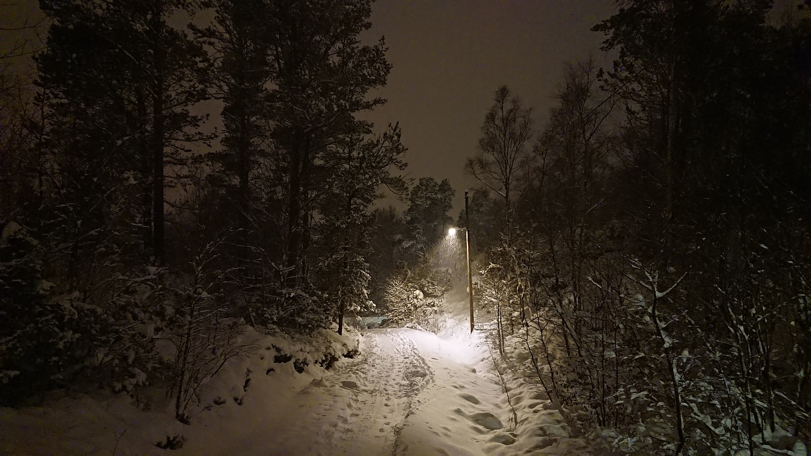 Short local evening hike in another at least 20 cm of new snow.
Skiing: Fløyen and Rundemanen
- Datum:
- 17.01.2024
- Tourcharakter:
- Langlauf
- Tourlänge:
- 4:05h
- Entfernung:
- 17,9km
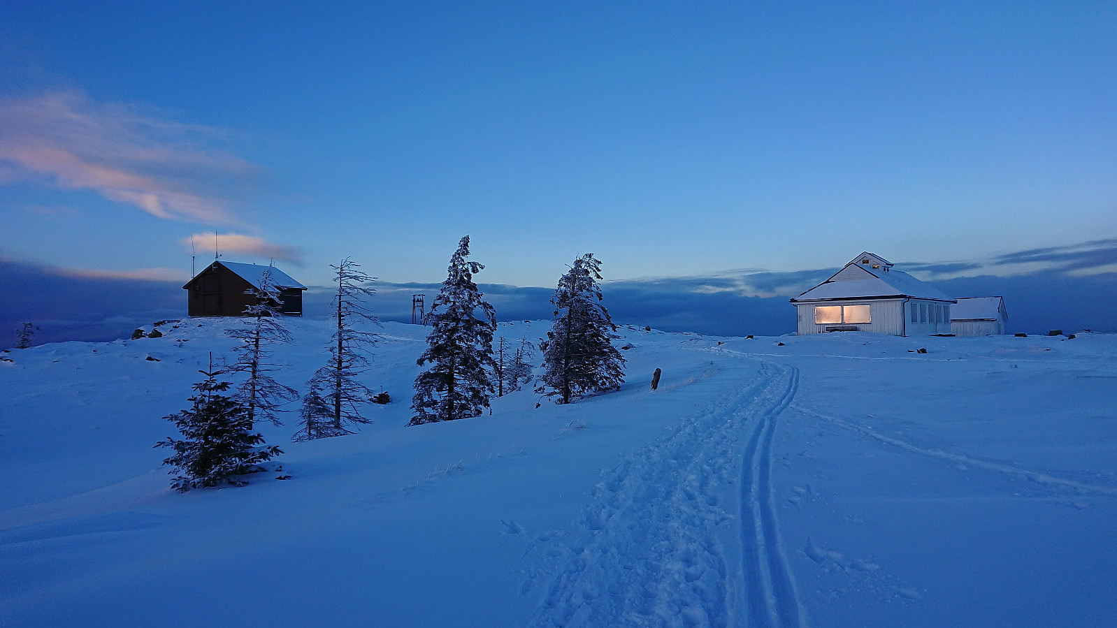 Left work a couple of hours early to enjoy the last part of a day of excellent winter weather. After the massive snowfall from the day before there was plenty of fresh snow. The skis came on just after exiting Fløibanen and stayed on until the top of Øyjorden (except for most of Hellemyrstien where I concluded that it was just as fast to walk).
Øyjorden and Helleveien
- Datum:
- 16.01.2024
- Tourcharakter:
- Wanderung
- Tourlänge:
- 1:28h
- Entfernung:
- 4,6km
 Short local evening hike in lots of new snow.
Across Hellen festning
- Datum:
- 15.01.2024
- Tourcharakter:
- Wanderung
- Tourlänge:
- 0:37h
- Entfernung:
- 3,2km
 Short local evening hike.
Hordnesskogen from Stend to Lagunen
- Datum:
- 14.01.2024
- Tourcharakter:
- Bergtour
- Tourlänge:
- 2:04h
- Entfernung:
- 8,7km
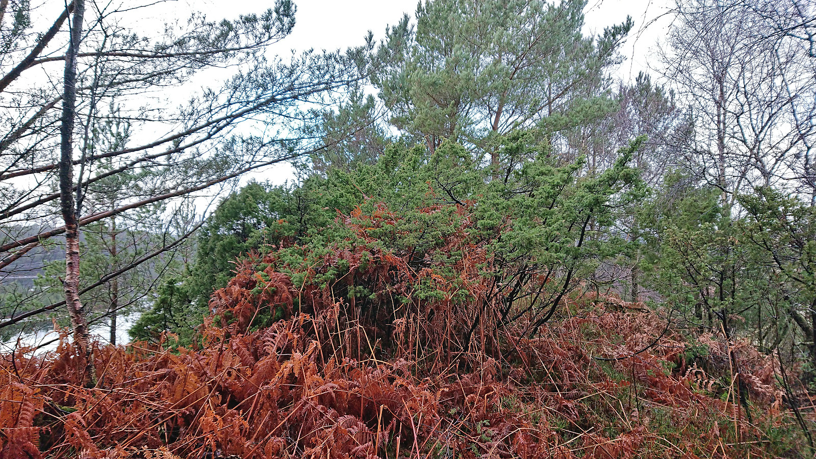
 I started by taking the bus to Stend and walking southwest along the road to Hordnes. After a quick visit of Hordnes søyle I followed the gravel road north to Skinfloren in an increasingly heavy snow shower. From there I continued north to Storåsen which could easily be ascended via a minor detour from the roads/trails (now added as its own PB-element), however the summit did not provide much with regards to views.
After descending north from Storåsen I started my ascent to Sauhaugen , a recent addition to the Alle topper i Bergen list . At first there was a narrow trail/deer track to follow but as I got closer to the summit the trail got weaker and later disappeared altogether. By then I was less than 100 meters from the summit anyway and could easily complete the remaining distance. Also this summit had limited views and I quickly started my descent.
Reconnecting >>>
I started by taking the bus to Stend and walking southwest along the road to Hordnes. After a quick visit of Hordnes søyle I followed the gravel road north to Skinfloren in an increasingly heavy snow shower. From there I continued north to Storåsen which could easily be ascended via a minor detour from the roads/trails (now added as its own PB-element), however the summit did not provide much with regards to views.
After descending north from Storåsen I started my ascent to Sauhaugen , a recent addition to the Alle topper i Bergen list . At first there was a narrow trail/deer track to follow but as I got closer to the summit the trail got weaker and later disappeared altogether. By then I was less than 100 meters from the summit anyway and could easily complete the remaining distance. Also this summit had limited views and I quickly started my descent.
Reconnecting >>>
Orresiktet, Langaneset and Peneset
- Datum:
- 13.01.2024
- Tourcharakter:
- Bergtour
- Tourlänge:
- 2:00h
- Entfernung:
- 5,4km
 On a wet and gray Saturday I settled on a short hike with the main objective of visiting yet another minor hill on the Alle topper i Bergen list , namely Vest for Orresiktet .
After taking the bus to Vadmyra I walked the short distance west to Hetlevikåsen where I easily located an unmarked trail down to Langaneset. Before ascending off-trail to Vest for Orresiktet I made the short detour to the real Orresiktet, a slightly lower hill to the east. Both provided limited views across different parts of Storavatnet but were not the most interesting locations.
In order to extend an otherwise very short hike, I decided to also explore Langaneset, starting with a brief off-trail visit of Revekulten (62 m, PF of around 14). I then returned to the many unmarked trails at Langaneset and continued to its northmost point (along rather weak trails towards >>>
On a wet and gray Saturday I settled on a short hike with the main objective of visiting yet another minor hill on the Alle topper i Bergen list , namely Vest for Orresiktet .
After taking the bus to Vadmyra I walked the short distance west to Hetlevikåsen where I easily located an unmarked trail down to Langaneset. Before ascending off-trail to Vest for Orresiktet I made the short detour to the real Orresiktet, a slightly lower hill to the east. Both provided limited views across different parts of Storavatnet but were not the most interesting locations.
In order to extend an otherwise very short hike, I decided to also explore Langaneset, starting with a brief off-trail visit of Revekulten (62 m, PF of around 14). I then returned to the many unmarked trails at Langaneset and continued to its northmost point (along rather weak trails towards >>>
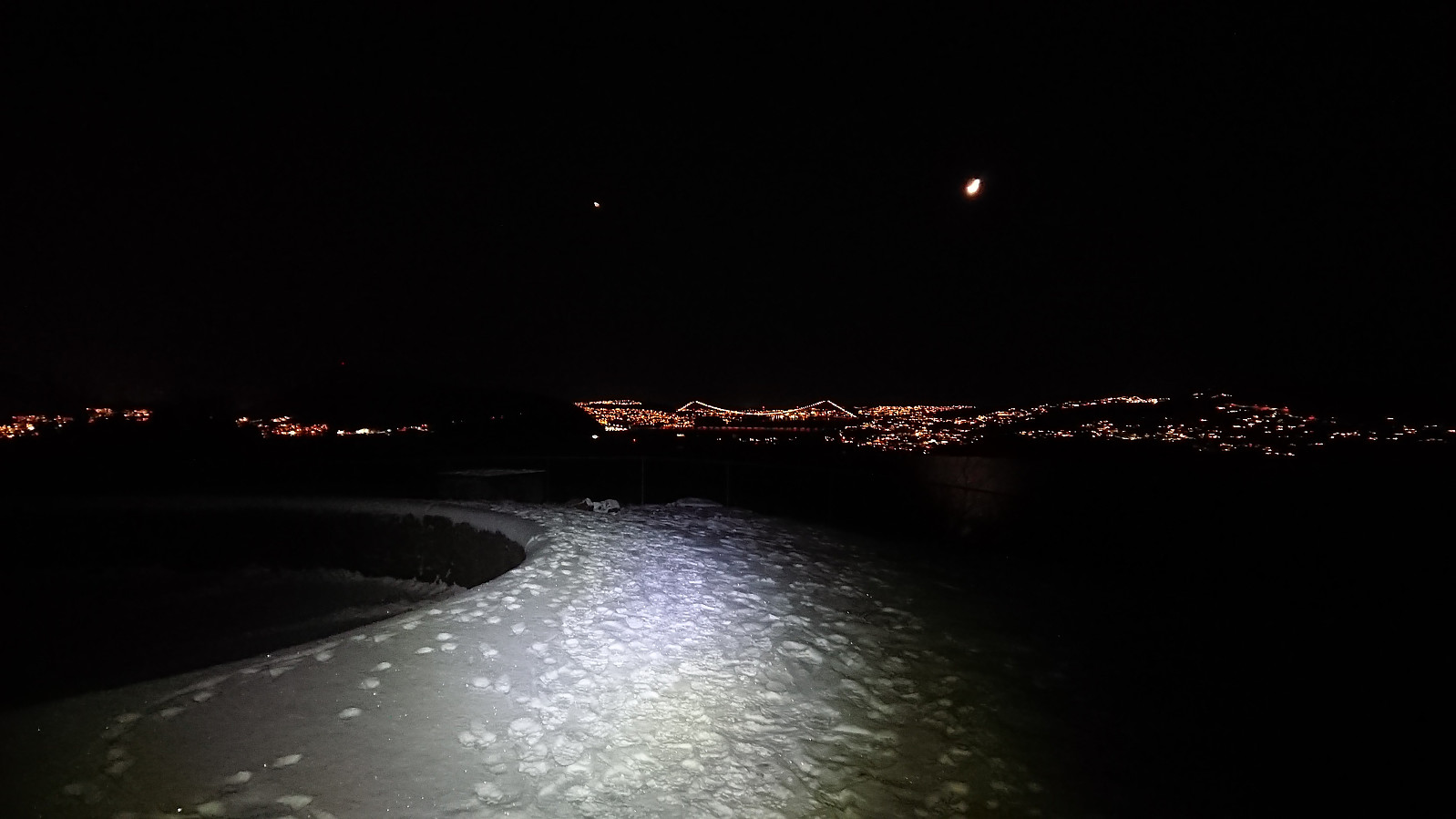
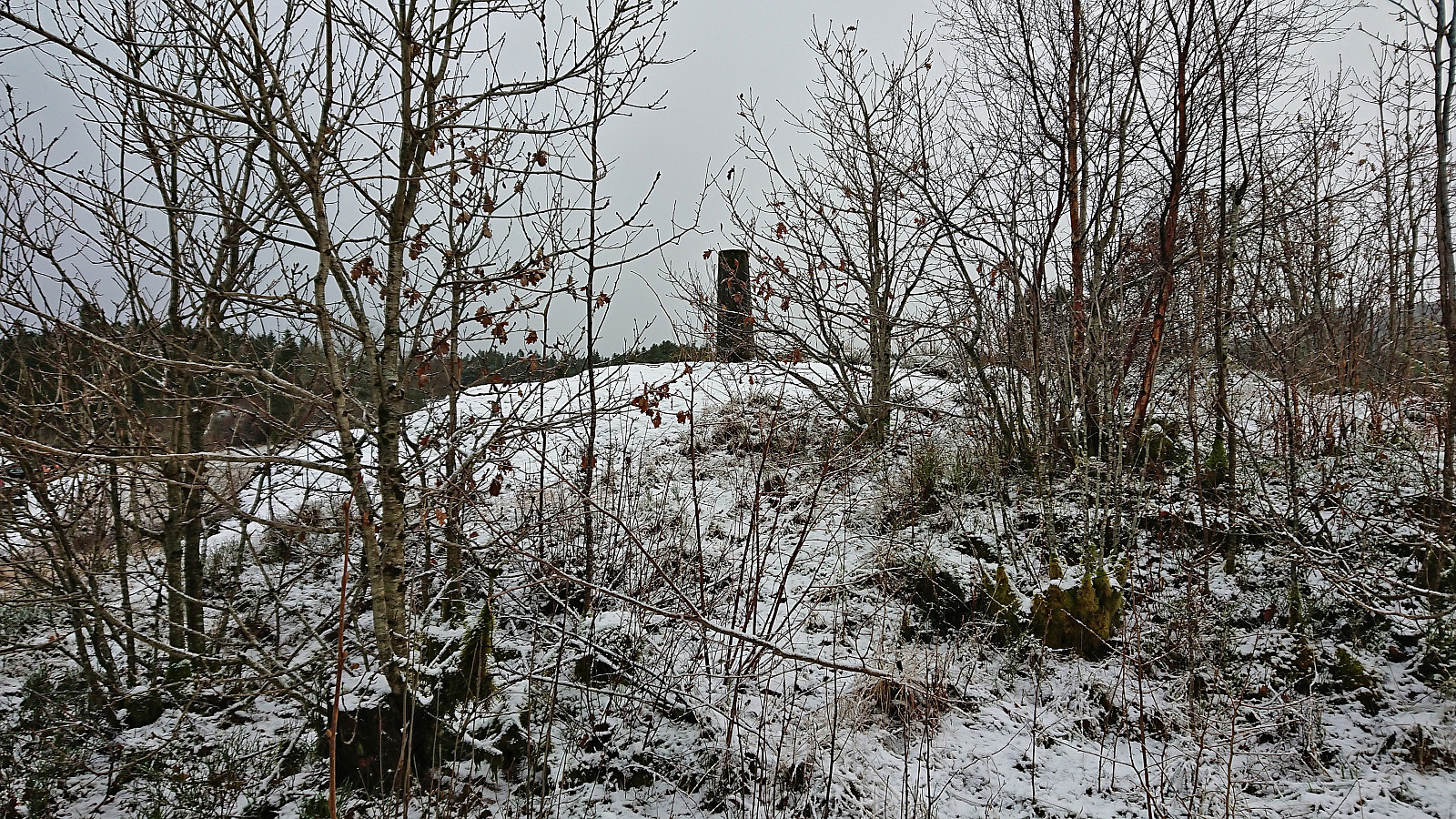
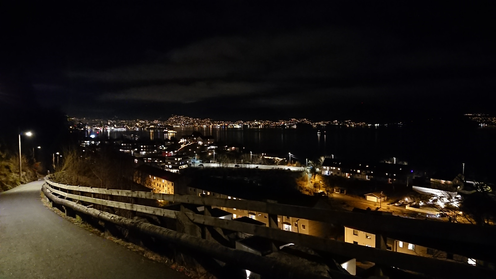
Hellen festning and Furukammen
- Datum:
- 11.01.2024
- Tourcharakter:
- Wanderung
- Tourlänge:
- 3:12h
- Entfernung:
- 5,1km
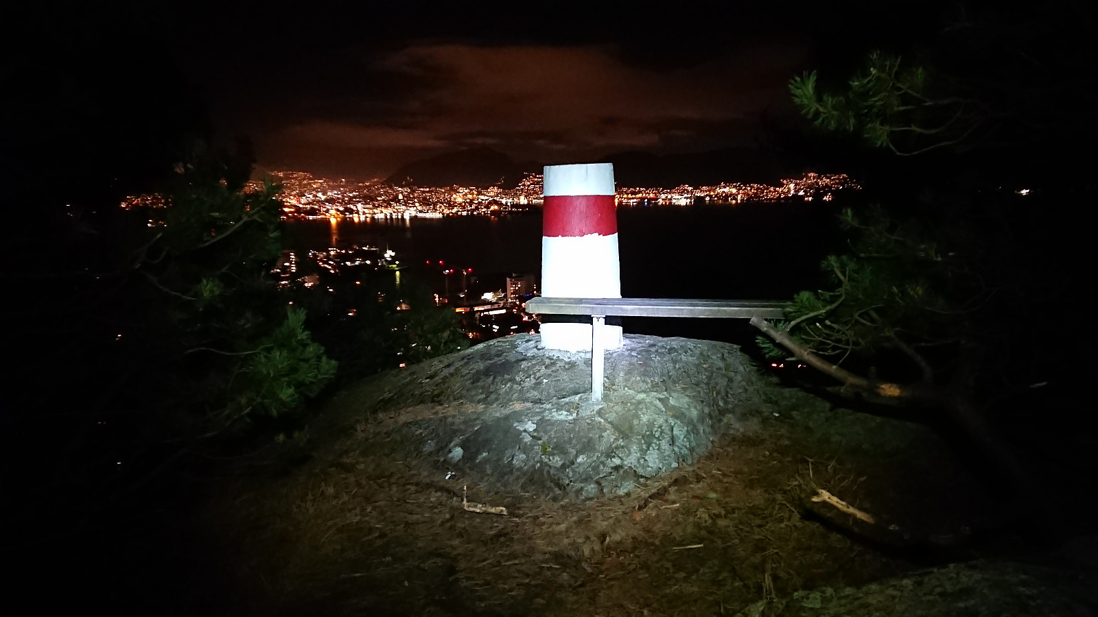 Short local evening hike.
Across Hellen festning
- Datum:
- 08.01.2024
- Tourcharakter:
- Wanderung
- Tourlänge:
- 0:36h
- Entfernung:
- 3,2km
 Short local evening hike.
Ørneberget and Rognåsen
- Datum:
- 07.01.2024
- Tourcharakter:
- Bergtour
- Tourlänge:
- 1:19h
- Entfernung:
- 5,6km
 Short local Sunday hike.
