Archiv - Nach Datum
Archiv - Nach Aktivität
-
Andere Tour (3)
- Kayaking (3)
-
Fahrradtour (109)
- Fahrradtour Straße (84)
- Fahrradtour gemischt (25)
-
Fahrzeugtour (9)
- Autotour (9)
-
Fußtour (1884)
- Bergtour (1114)
- Jogging (1)
- Spaziergang (59)
- Wanderung (710)
-
Skitour (116)
- Langlauf (47)
- Tourenskilauf (69)
Gesammelte Listen
-
Utvalgte topper og turmål i Bergen
(348/349)
 99%
99% -
Alle topper i Bergen
(391/398)
98%
-
Voss ≥ 100m pf.
(96/98)
97%
-
Opptur Hordaland
(144/159)
90%
-
Stasjoner på Bergensbanen
(33/40)
82%
-
Ulvik ≥ 100m pf.
(28/38)
73%
-
Hordaland ≥ 100m pf.
(622/863)
72%
-
Mjølfjell PF > 100m
(21/31)
67%
-
Jondal ≥ 100m pf.
(15/23)
65%
-
Dagsturhyttene i Vestland
(36/61)
59%
-
Sunnhordland PF >= 100m
(105/186)
56%
-
Hordaland: Hardanger PF>=100m
(194/359)
54%
-
DNT-hytter i Hordaland
(23/45)
51%
-
Kvinnherad ≥ 100m pf.
(40/79)
50%
-
Eidfjord ≥ 100m pf.
(13/42)
30%
-
Sogndal ≥ 100m pf.
(23/81)
28%
-
Gulen ≥ 100m pf.
(15/54)
27%
-
Vik i Sogn ≥ 100m pf.
(10/46)
21%
-
Sogn - Sør for Sognefjorden PF>=100m
(31/159)
19%
-
DNT-hytter i Sogn og Fjordane
(8/47)
17%

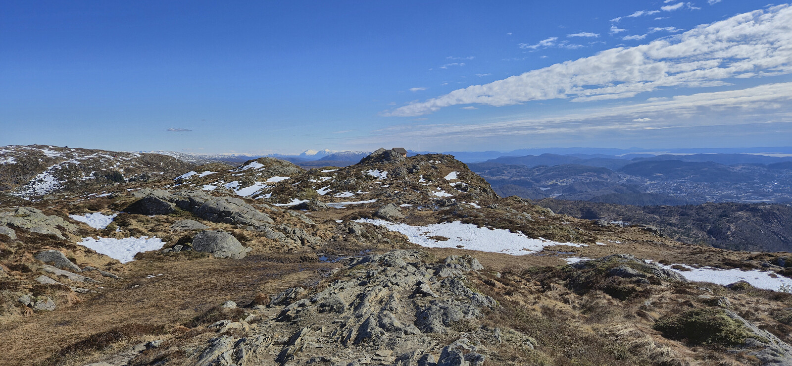
Nukane, Storsåta and Langelifjellet
- Datum:
- 21.04.2026
- Tourcharakter:
- Bergtour
- Tourlänge:
- 4:08h
- Entfernung:
- 9,9km
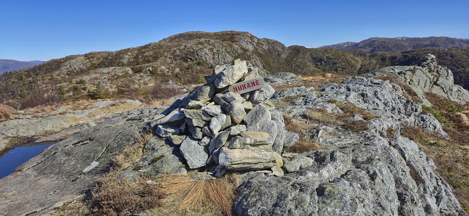 Hike in Åsane with four of my colleagues after work.
Across Hellen festning
- Datum:
- 20.04.2026
- Tourcharakter:
- Wanderung
- Tourlänge:
- 0:37h
- Entfernung:
- 3,1km
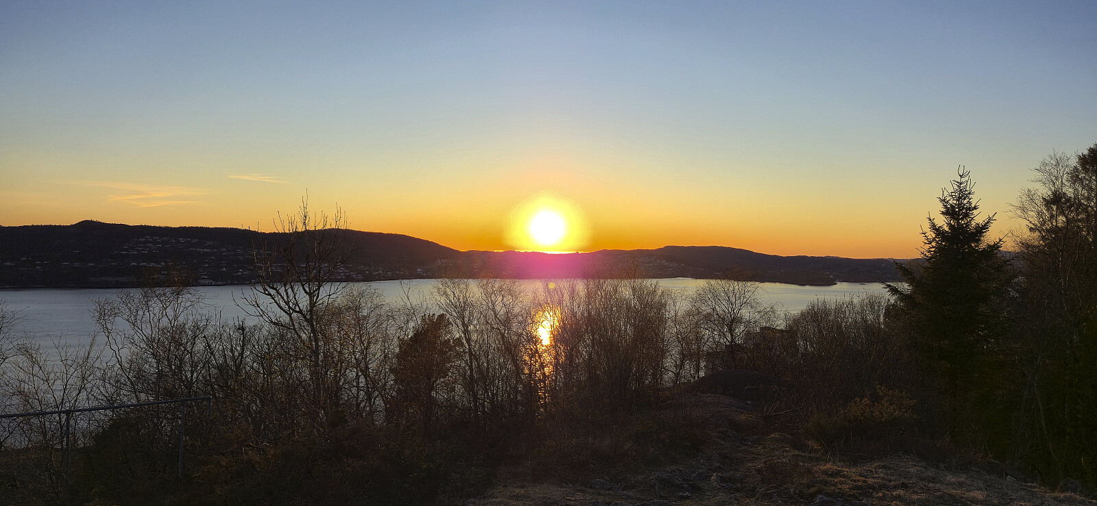 Short local evening hike around sunset.
Ragdebu
- Datum:
- 19.04.2026
- Tourcharakter:
- Bergtour
- Tourlänge:
- 1:21h
- Entfernung:
- 4,3km
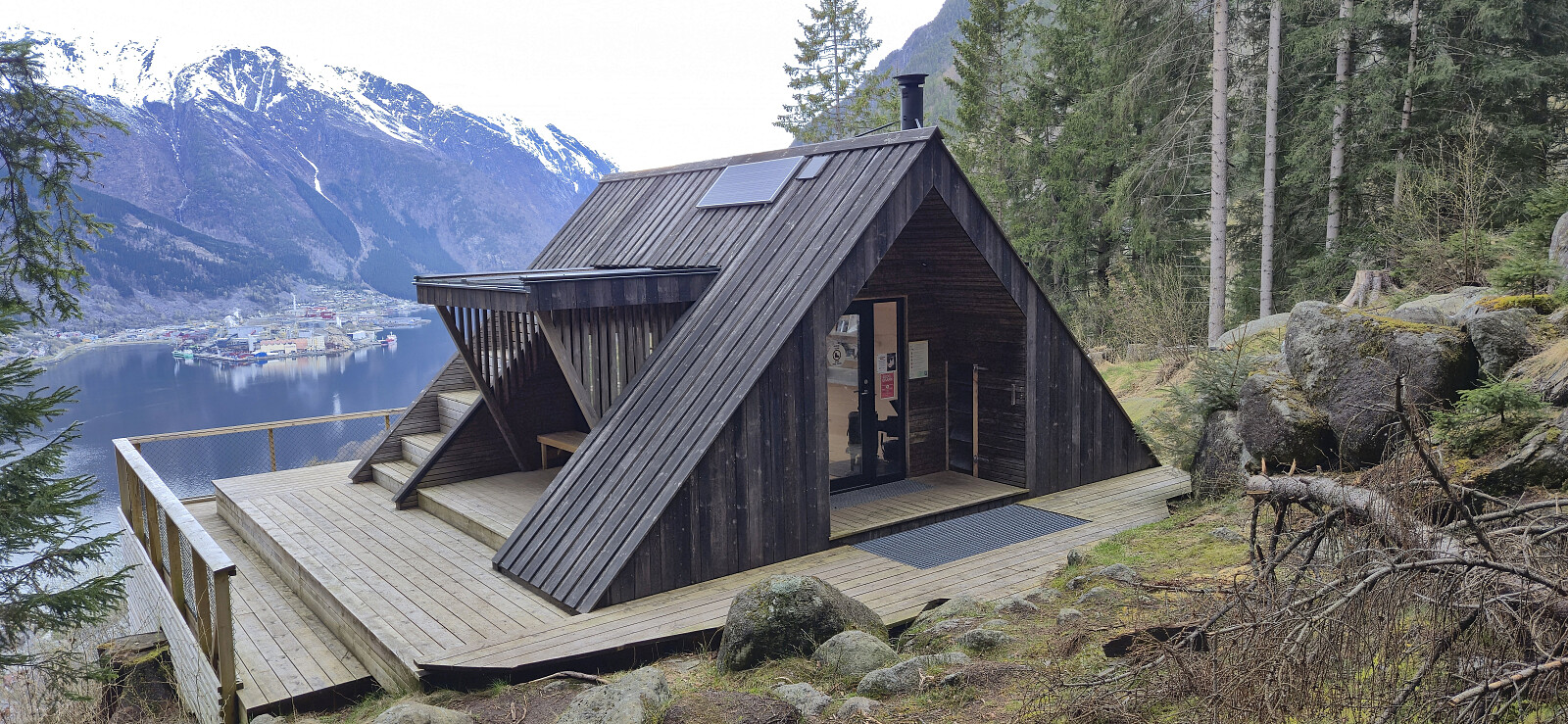 Upon completing my trip to Middagsnuten and Nonsnut , I still had plenty of time before the next bus to Bergen. I therefore took a local bus from Skarsmoen to Odda for a visit of Ragdebu . The first sign for Ragdebu was not spotted until the end of Ragdelia but from there on there was multiple signs and arrows along a nice trail to the cabin. I had the location all to myself and could enjoy the great views during a very late lunch break. To extended the hike, and further reduce the waiting time for the bus, I returned to the bus station via Freimsvegen. Slightly longer but resulted in a nice roundtrip.
Middagsnuten and Nonsnut
- Datum:
- 19.04.2026
- Tourcharakter:
- Bergtour
- Tourlänge:
- 2:57h
- Entfernung:
- 7,2km
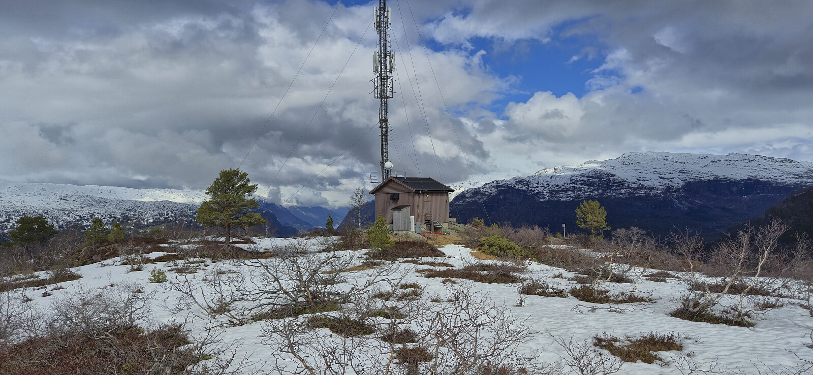 After a long bus ride from Bergen to Odda, I got off at Smørtjørnsmoen from where I could follow a side road up through Middagsnuten Hyttefelt. I then continued on a snow-covered trail to a small building with a large antenna near the summit of Middagsnuten . Before heading to the real summit around 60 meters south of the antenna, I also made a quick visit of the trig marker to the northeast. Excellent views from all locations.
Next, I turned my attention towards Nonsnut and immediately started wondering why this peaks looked much bigger than expected. It was only supposed to be around 30 meters higher and only 700 meters away from my current location but it looked both much higher and much further away. In any case, I first had to descend to the cabins in the valley between the two peaks. Except for initial >>>
After a long bus ride from Bergen to Odda, I got off at Smørtjørnsmoen from where I could follow a side road up through Middagsnuten Hyttefelt. I then continued on a snow-covered trail to a small building with a large antenna near the summit of Middagsnuten . Before heading to the real summit around 60 meters south of the antenna, I also made a quick visit of the trig marker to the northeast. Excellent views from all locations.
Next, I turned my attention towards Nonsnut and immediately started wondering why this peaks looked much bigger than expected. It was only supposed to be around 30 meters higher and only 700 meters away from my current location but it looked both much higher and much further away. In any case, I first had to descend to the cabins in the valley between the two peaks. Except for initial >>>
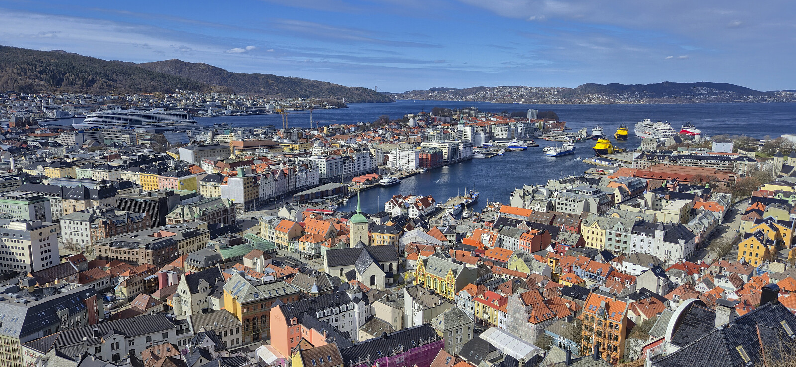
Rundemanen via Tindevatnet
- Datum:
- 18.04.2026
- Tourcharakter:
- Bergtour
- Tourlänge:
- 3:06h
- Entfernung:
- 10,5km
 Saturday hike to Rundemanen via a new trail between Store and Lille Tindevatnet.
Across Hellen festning
- Datum:
- 17.04.2026
- Tourcharakter:
- Wanderung
- Tourlänge:
- 0:38h
- Entfernung:
- 3,2km
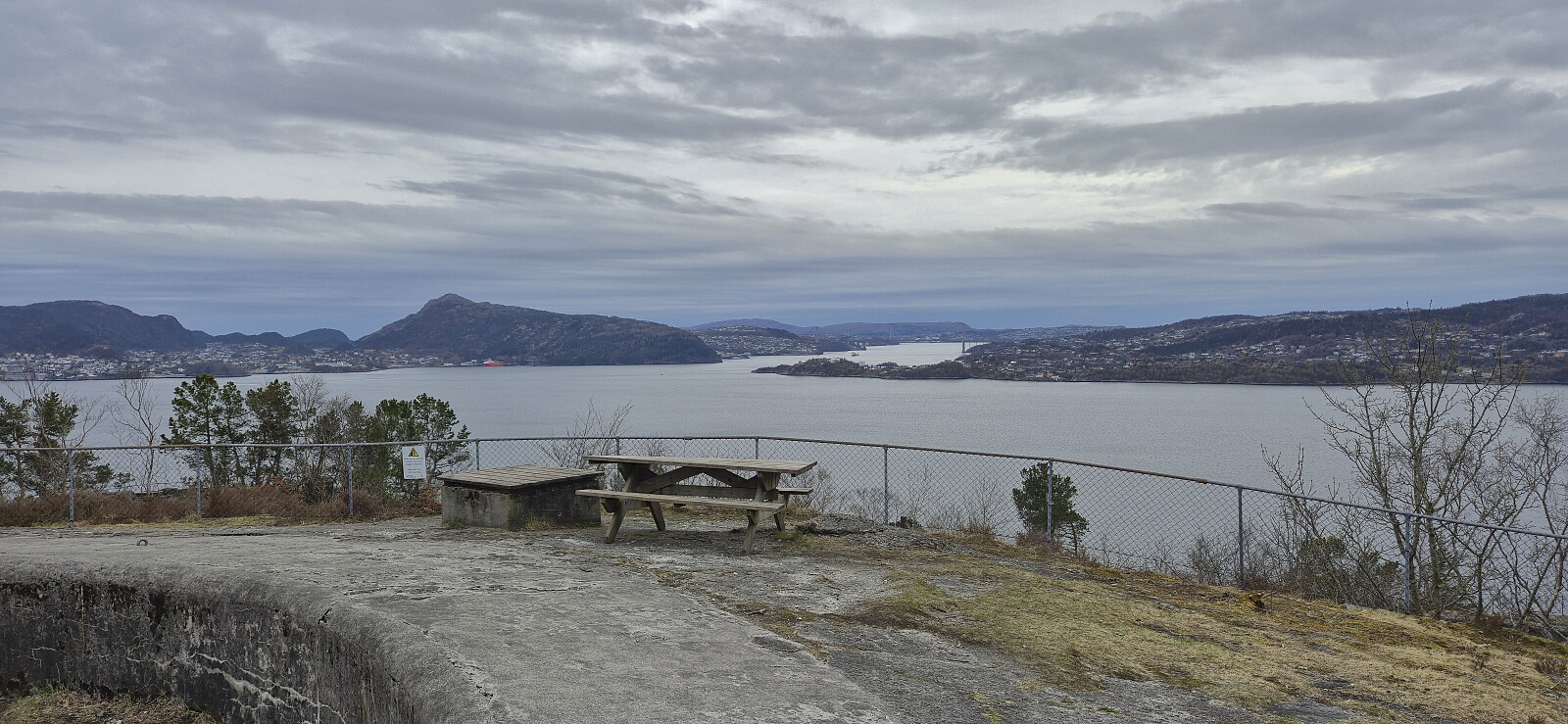 Short local evening hike.
Oppstemten and Landåseggen
- Datum:
- 15.04.2026
- Tourcharakter:
- Bergtour
- Tourlänge:
- 1:43h
- Entfernung:
- 6,2km
 Short hike before heading home from work.
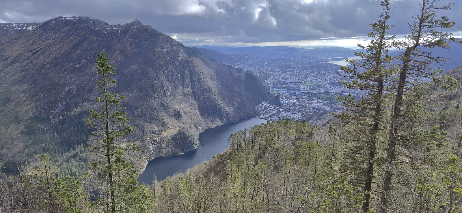
Sandviksfjellet
- Datum:
- 12.04.2026
- Tourcharakter:
- Bergtour
- Tourlänge:
- 3:58h
- Entfernung:
- 10,4km
 Local Sunday hike that turned longer than expected when meeting up with my dad and joining him instead of heading more directly home.
Litlåsfjellet from Leirvåg fergekai
- Datum:
- 11.04.2026
- Tourcharakter:
- Wanderung
- Tourlänge:
- 1:00h
- Entfernung:
- 5,1km
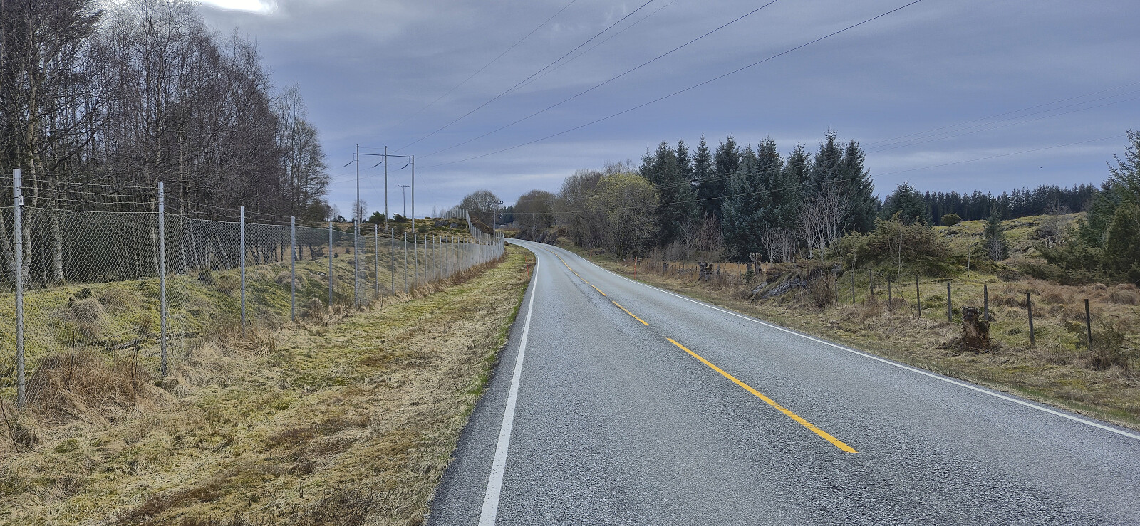 Short bonus hike after my trip to Brattelifjellet, Storeholten and Mosedotten in Gulen and the ferry ride from Sløvågen given that I had around an hour to kill at Leirvågen before the bus back to Bergen. The goal was to visit the highest point in Austrheim, namely Litlåsfjellet . This was easily achieved as there was a gravel road pretty much all the way to the summit. There were even tire marks across the highest point as a result of recent logging activity.
Brattelifjellet, Storeholten and Mosedotten
- Datum:
- 11.04.2026
- Tourcharakter:
- Bergtour
- Tourlänge:
- 5:35h
- Entfernung:
- 15,3km
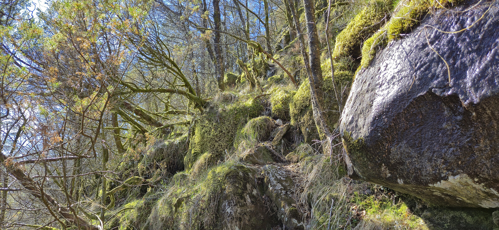 I started by taking the bus and ferry from Bergen to Sløvågen. Here I was picked up by a minibus heading for Mjømna. Note that you must call the company the day before for this bus to show up (see skyss.no ). Given that I was the only passenger, the bus driver made a short detour into Merkesdalen, saving me around 800 meters of walking along the paved road. After thanking the driver, I continued on foot towards the marked trailhead for Brattelifjellet at Svardalen.
Thanks to Lise Grønbukt 's trip report I easily located the marked trail to Brattelifjellet and followed it without too much trouble all the way to the large summit cairn. But while the trail was marked with both blue markers and the occasional cairn, the trail itself was often quite weak. I lost it a couple of times and it could benefit from at least a couple of additional markers >>>
I started by taking the bus and ferry from Bergen to Sløvågen. Here I was picked up by a minibus heading for Mjømna. Note that you must call the company the day before for this bus to show up (see skyss.no ). Given that I was the only passenger, the bus driver made a short detour into Merkesdalen, saving me around 800 meters of walking along the paved road. After thanking the driver, I continued on foot towards the marked trailhead for Brattelifjellet at Svardalen.
Thanks to Lise Grønbukt 's trip report I easily located the marked trail to Brattelifjellet and followed it without too much trouble all the way to the large summit cairn. But while the trail was marked with both blue markers and the occasional cairn, the trail itself was often quite weak. I lost it a couple of times and it could benefit from at least a couple of additional markers >>>
