Archiv - Nach Datum
Archiv - Nach Aktivität
-
Andere Tour (3)
- Kayaking (3)
-
Fahrradtour (111)
- Fahrradtour Straße (86)
- Fahrradtour gemischt (25)
-
Fahrzeugtour (9)
- Autotour (9)
-
Fußtour (1897)
- Bergtour (1120)
- Jogging (1)
- Spaziergang (60)
- Wanderung (716)
-
Skitour (116)
- Langlauf (47)
- Tourenskilauf (69)
Gesammelte Listen
-
Utvalgte topper og turmål i Bergen
(349/351)
 99%
99% -
Alle topper i Bergen
(393/400)
98%
-
Voss ≥ 100m pf.
(96/98)
97%
-
Opptur Hordaland
(144/159)
90%
-
Stasjoner på Bergensbanen
(33/40)
82%
-
Ulvik ≥ 100m pf.
(30/38)
78%
-
Hordaland ≥ 100m pf.
(624/863)
72%
-
Mjølfjell PF > 100m
(21/31)
67%
-
Jondal ≥ 100m pf.
(15/23)
65%
-
Dagsturhyttene i Vestland
(36/61)
59%
-
Sunnhordland PF >= 100m
(105/186)
56%
-
Hordaland: Hardanger PF>=100m
(196/359)
54%
-
DNT-hytter i Hordaland
(23/45)
51%
-
Kvinnherad ≥ 100m pf.
(40/79)
50%
-
Eidfjord ≥ 100m pf.
(13/42)
30%
-
Sogndal ≥ 100m pf.
(23/81)
28%
-
Gulen ≥ 100m pf.
(15/54)
27%
-
Vik i Sogn ≥ 100m pf.
(10/46)
21%
-
Sogn - Sør for Sognefjorden PF>=100m
(31/159)
19%
-
DNT-hytter i Sogn og Fjordane
(8/47)
17%

Barsnesfjorden
- Datum:
- 16.04.2025
- Tourcharakter:
- Wanderung
- Tourlänge:
- 0:59h
- Entfernung:
- 4,1km
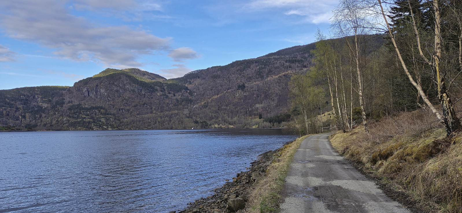 Short evening walk along Barsnesfjorden.
(Note that this hike is along a private road, i.e. no cars allowed.)
Short evening walk along Barsnesfjorden.
(Note that this hike is along a private road, i.e. no cars allowed.)
Helleberget
- Datum:
- 15.04.2025
- Tourcharakter:
- Tourenskilauf
- Tourlänge:
- 3:10h
- Entfernung:
- 9,3km
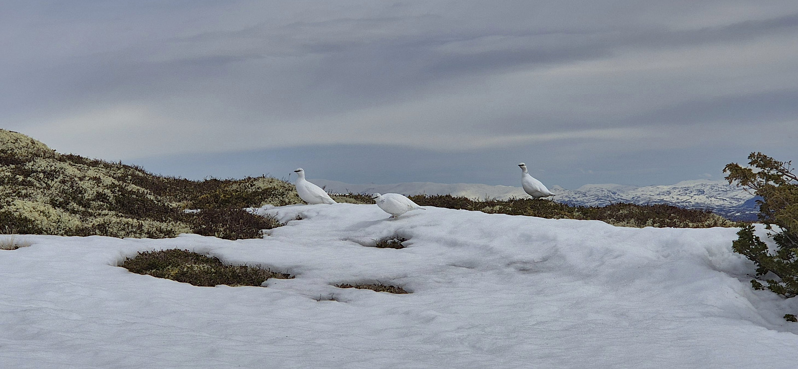 Even though the snow was rapidly melting we managed to keep the skis on all the way from Rindabotn to the summit. Limited snow at the summit and almost no snow for the final part of the descent back to the parking lot.
Høgehaug and Britabu
- Datum:
- 14.04.2025
- Tourcharakter:
- Langlauf
- Tourlänge:
- 3:03h
- Entfernung:
- 9,6km
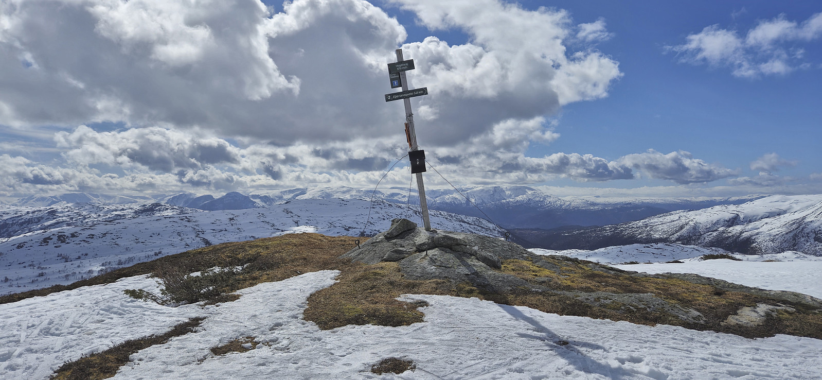 The traditional Easter skiing trip from Rindabotn to Høgehaug with a short lunch break outside Britabu .
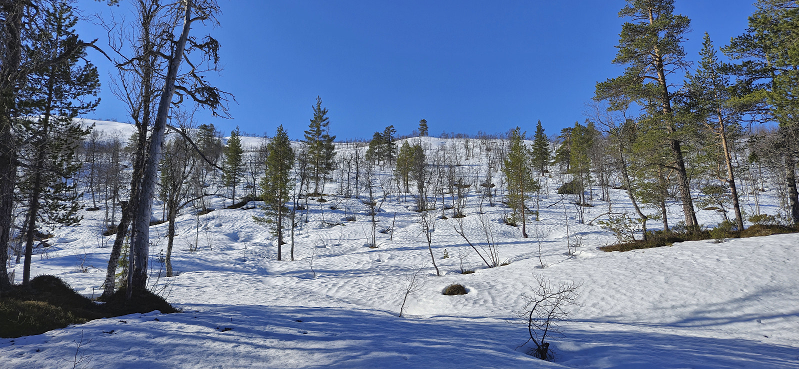
Skavasshaugane
- Datum:
- 13.04.2025
- Tourcharakter:
- Langlauf
- Tourlänge:
- 2:13h
- Entfernung:
- 6,7km
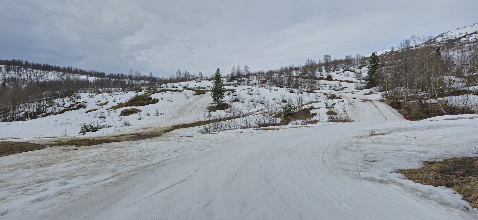 Short skiing trip to check if there was still enough snow for a slightly longer trip the next day.
Ørneberget and Furukammen
- Datum:
- 09.04.2025
- Tourcharakter:
- Bergtour
- Tourlänge:
- 0:49h
- Entfernung:
- 3,8km
 Short local hike after work.
Across Hellen festning
- Datum:
- 07.04.2025
- Tourcharakter:
- Wanderung
- Tourlänge:
- 0:36h
- Entfernung:
- 3,1km
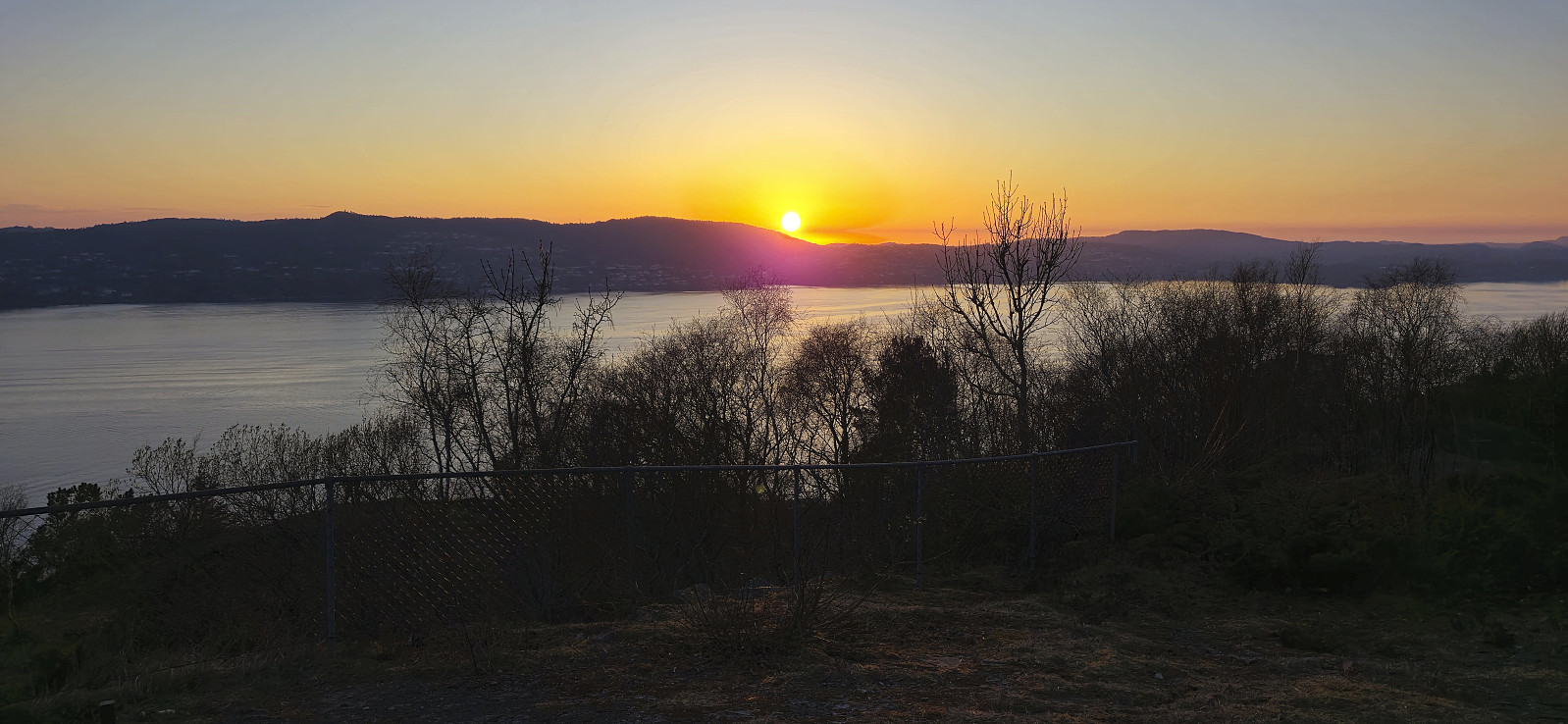 Short local hike just before sunset.
Fjellveien
- Datum:
- 06.04.2025
- Tourcharakter:
- Wanderung
- Tourlänge:
- 1:01h
- Entfernung:
- 5,3km
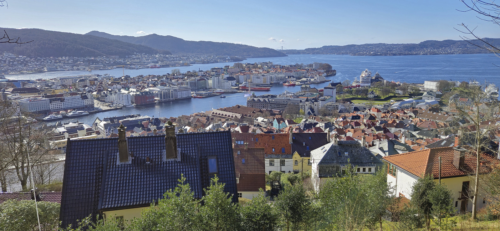 Short Sunday hike after spending all of yesterday skiing at Mjølfjell .
Skiing: Nordbotnnuten from Mjølfjell
- Datum:
- 05.04.2025
- Tourcharakter:
- Tourenskilauf
- Tourlänge:
- 9:31h
- Entfernung:
- 25,5km
 I got up early Saturday morning to catch the first train from Bergen to Mjølfjell where I arrived at 09:00. My plan had been to walk south from the station and cross the river via the bridge to Urlandsstølen to start my ascent to Nordbotnnuten . When getting there I however quickly realized that this would not be possible. The bridge had been taken down for the winter ! I therefore had to come up with an alternative plan to get to the other side.
I found two options: the bridge to Hagen (around 1.5 km walk to the southwest) or the bridge at Hellene (around 2 km walk to the east). While the former was a shorter walk and definitely included a permanent bridge, I still decided on Hellene as the terrain from there to Rundavatnet (to connect with my planned ascent route to Nordbotnnuten) looked easier. Upon arriving at Hellene I was therefore very happy to find that this bridge was >>>
I got up early Saturday morning to catch the first train from Bergen to Mjølfjell where I arrived at 09:00. My plan had been to walk south from the station and cross the river via the bridge to Urlandsstølen to start my ascent to Nordbotnnuten . When getting there I however quickly realized that this would not be possible. The bridge had been taken down for the winter ! I therefore had to come up with an alternative plan to get to the other side.
I found two options: the bridge to Hagen (around 1.5 km walk to the southwest) or the bridge at Hellene (around 2 km walk to the east). While the former was a shorter walk and definitely included a permanent bridge, I still decided on Hellene as the terrain from there to Rundavatnet (to connect with my planned ascent route to Nordbotnnuten) looked easier. Upon arriving at Hellene I was therefore very happy to find that this bridge was >>>
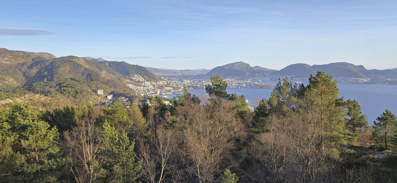
Lyderhorn from Gravdal to Loddefjord
- Datum:
- 02.04.2025
- Tourcharakter:
- Bergtour
- Tourlänge:
- 3:13h
- Entfernung:
- 6,7km
 A hike after work with three of my colleagues in the sunny and unusually warm start of April.
Across Hellen festning
- Datum:
- 01.04.2025
- Tourcharakter:
- Wanderung
- Tourlänge:
- 0:35h
- Entfernung:
- 3,1km
 Short local hike before sunset.
