Archiv - Nach Datum
Archiv - Nach Aktivität
-
Andere Tour (3)
- Kayaking (3)
-
Fahrradtour (111)
- Fahrradtour Straße (86)
- Fahrradtour gemischt (25)
-
Fahrzeugtour (9)
- Autotour (9)
-
Fußtour (1897)
- Bergtour (1120)
- Jogging (1)
- Spaziergang (60)
- Wanderung (716)
-
Skitour (116)
- Langlauf (47)
- Tourenskilauf (69)
Gesammelte Listen
-
Utvalgte topper og turmål i Bergen
(349/351)
 99%
99% -
Alle topper i Bergen
(393/400)
98%
-
Voss ≥ 100m pf.
(96/98)
97%
-
Opptur Hordaland
(144/159)
90%
-
Stasjoner på Bergensbanen
(33/40)
82%
-
Ulvik ≥ 100m pf.
(30/38)
78%
-
Hordaland ≥ 100m pf.
(624/863)
72%
-
Mjølfjell PF > 100m
(21/31)
67%
-
Jondal ≥ 100m pf.
(15/23)
65%
-
Dagsturhyttene i Vestland
(36/61)
59%
-
Sunnhordland PF >= 100m
(105/186)
56%
-
Hordaland: Hardanger PF>=100m
(196/359)
54%
-
DNT-hytter i Hordaland
(23/45)
51%
-
Kvinnherad ≥ 100m pf.
(40/79)
50%
-
Eidfjord ≥ 100m pf.
(13/42)
30%
-
Sogndal ≥ 100m pf.
(23/81)
28%
-
Gulen ≥ 100m pf.
(15/54)
27%
-
Vik i Sogn ≥ 100m pf.
(10/46)
21%
-
Sogn - Sør for Sognefjorden PF>=100m
(31/159)
19%
-
DNT-hytter i Sogn og Fjordane
(8/47)
17%

Across Hellen festning
- Datum:
- 27.02.2025
- Tourcharakter:
- Wanderung
- Tourlänge:
- 0:36h
- Entfernung:
- 3,2km
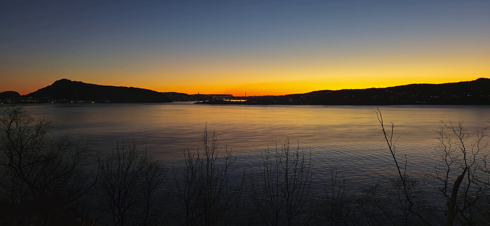
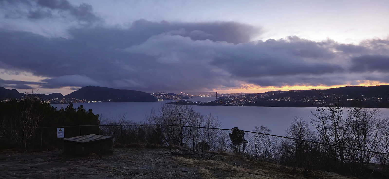 Short local hike just after sunset.
Åsen, Sauhaugen, Mjeldheimssåta and Vårheia
- Datum:
- 23.02.2025
- Tourcharakter:
- Bergtour
- Tourlänge:
- 2:51h
- Entfernung:
- 9,5km
 A return to Arna on a windy Sunday with the main objective of visiting Åsen over Holereset , yet another minor peak on the Alle topper i Bergen list . I started by taking the train to Arna, from where the initial plan had been to walk along the paved roads up to Kvamsvegen p-plass , but when coming across a recently marked trail south of Vårheia , I of course took the chance to get off the road and instead followed the trail.
After later reconnecting with the paved road I followed the trail up to Gapahuk Kvamme Gård and from there tried to continue on a tractor road and trail the map indicated would take me to the summit of Åsen over Holereset. The tractor road was however nothing more than a large opening between the trees and of the trail I did not see any traces until getting up on the ridge. From there it was straightforward to get to the highest point, which sadly did not provide >>>
A return to Arna on a windy Sunday with the main objective of visiting Åsen over Holereset , yet another minor peak on the Alle topper i Bergen list . I started by taking the train to Arna, from where the initial plan had been to walk along the paved roads up to Kvamsvegen p-plass , but when coming across a recently marked trail south of Vårheia , I of course took the chance to get off the road and instead followed the trail.
After later reconnecting with the paved road I followed the trail up to Gapahuk Kvamme Gård and from there tried to continue on a tractor road and trail the map indicated would take me to the summit of Åsen over Holereset. The tractor road was however nothing more than a large opening between the trees and of the trail I did not see any traces until getting up on the ridge. From there it was straightforward to get to the highest point, which sadly did not provide >>>
Across Hellen festning
- Datum:
- 22.02.2025
- Tourcharakter:
- Wanderung
- Tourlänge:
- 0:37h
- Entfernung:
- 3,2km
 Short local evening hike.
Across Hellen festning
- Datum:
- 19.02.2025
- Tourcharakter:
- Wanderung
- Tourlänge:
- 0:37h
- Entfernung:
- 3,2km
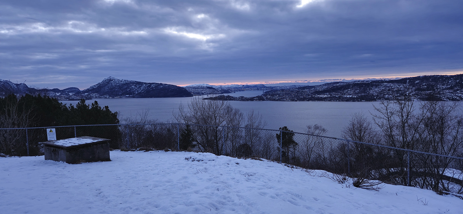 Short local hike just after sunset.
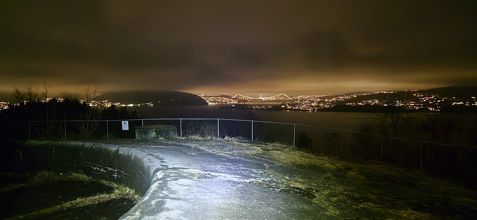
Across Hellen festning
- Datum:
- 18.02.2025
- Tourcharakter:
- Wanderung
- Tourlänge:
- 0:38h
- Entfernung:
- 3,2km
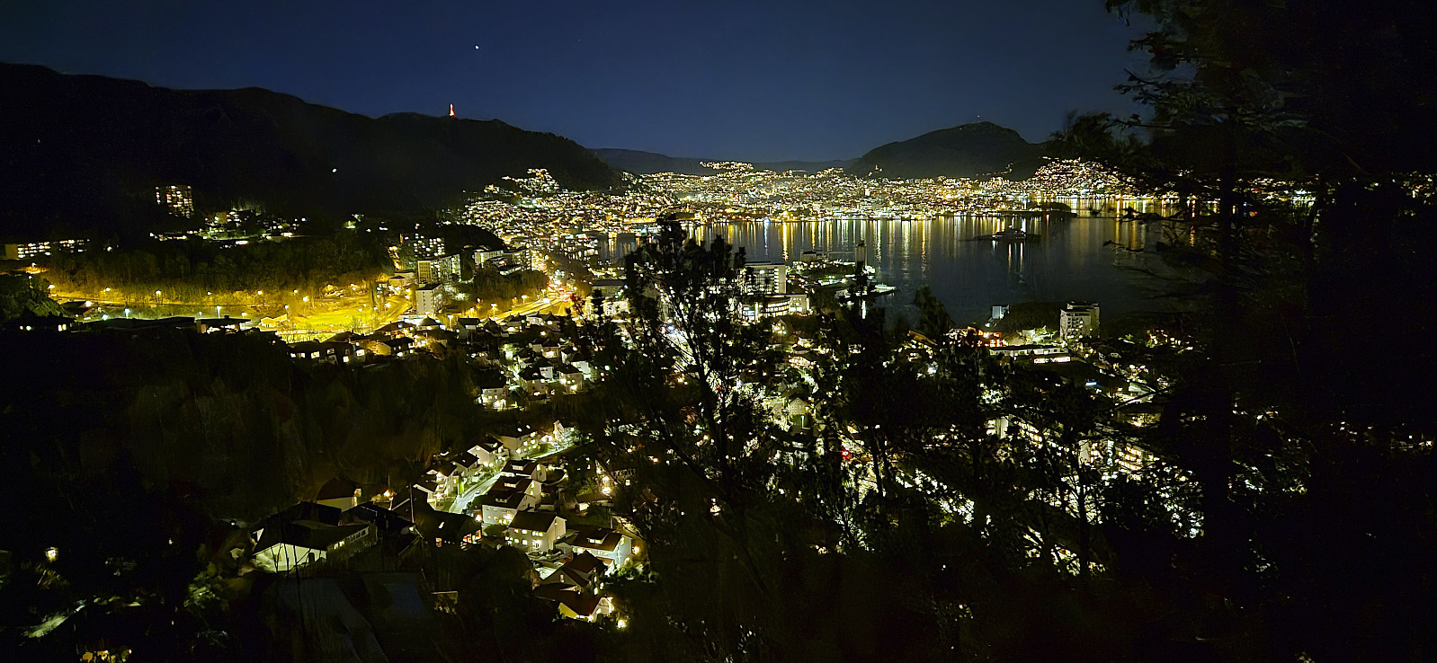
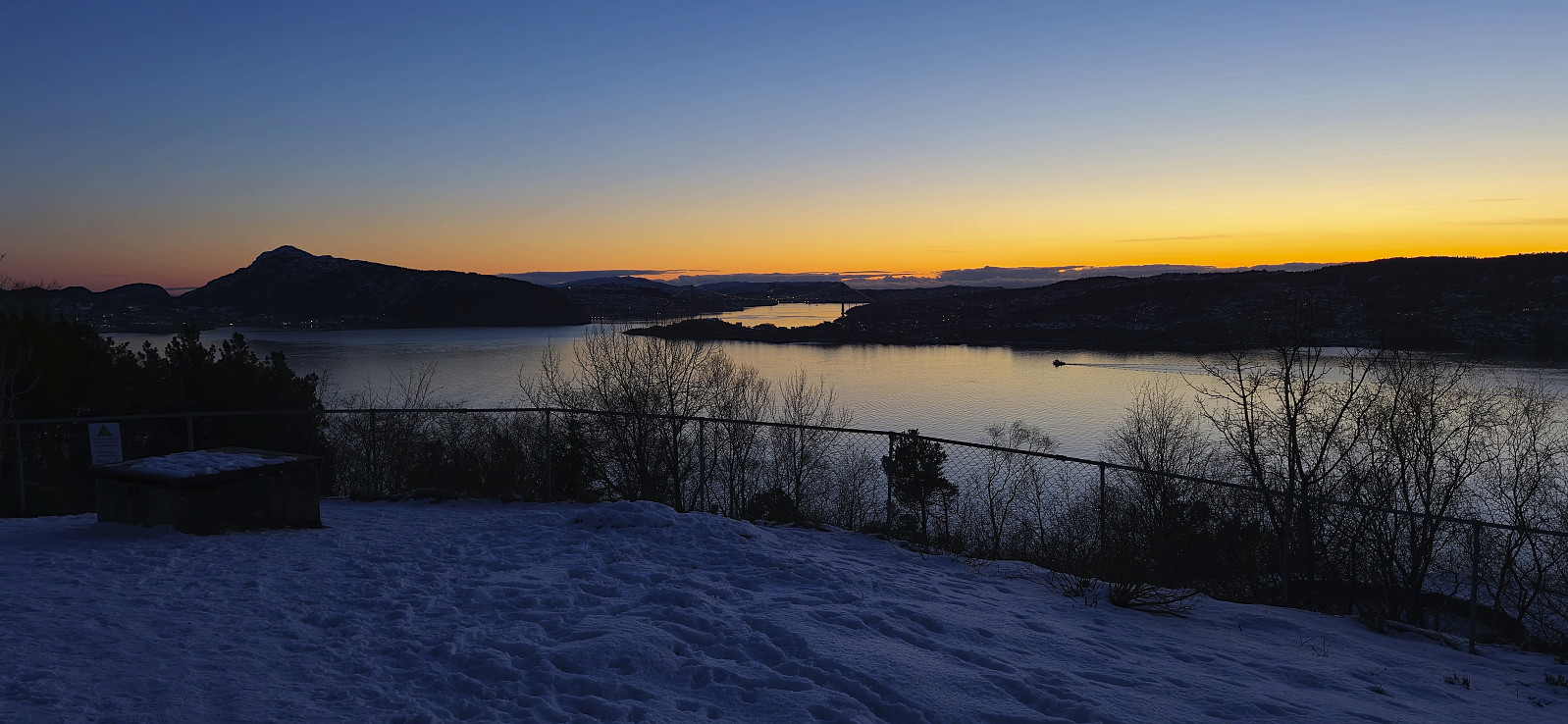 Short local hike across an ice-covered Hellen festning just after sunset.
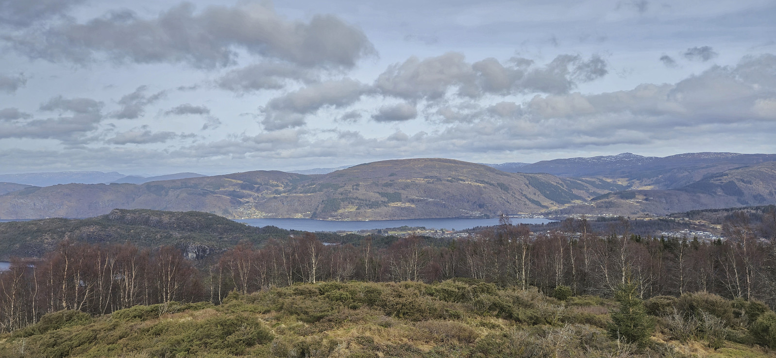
Hålihovden, Hjortlandsåsen, Storhovden and Hovdane
- Datum:
- 16.02.2025
- Tourcharakter:
- Bergtour
- Tourlänge:
- 3:37h
- Entfernung:
- 10,4km
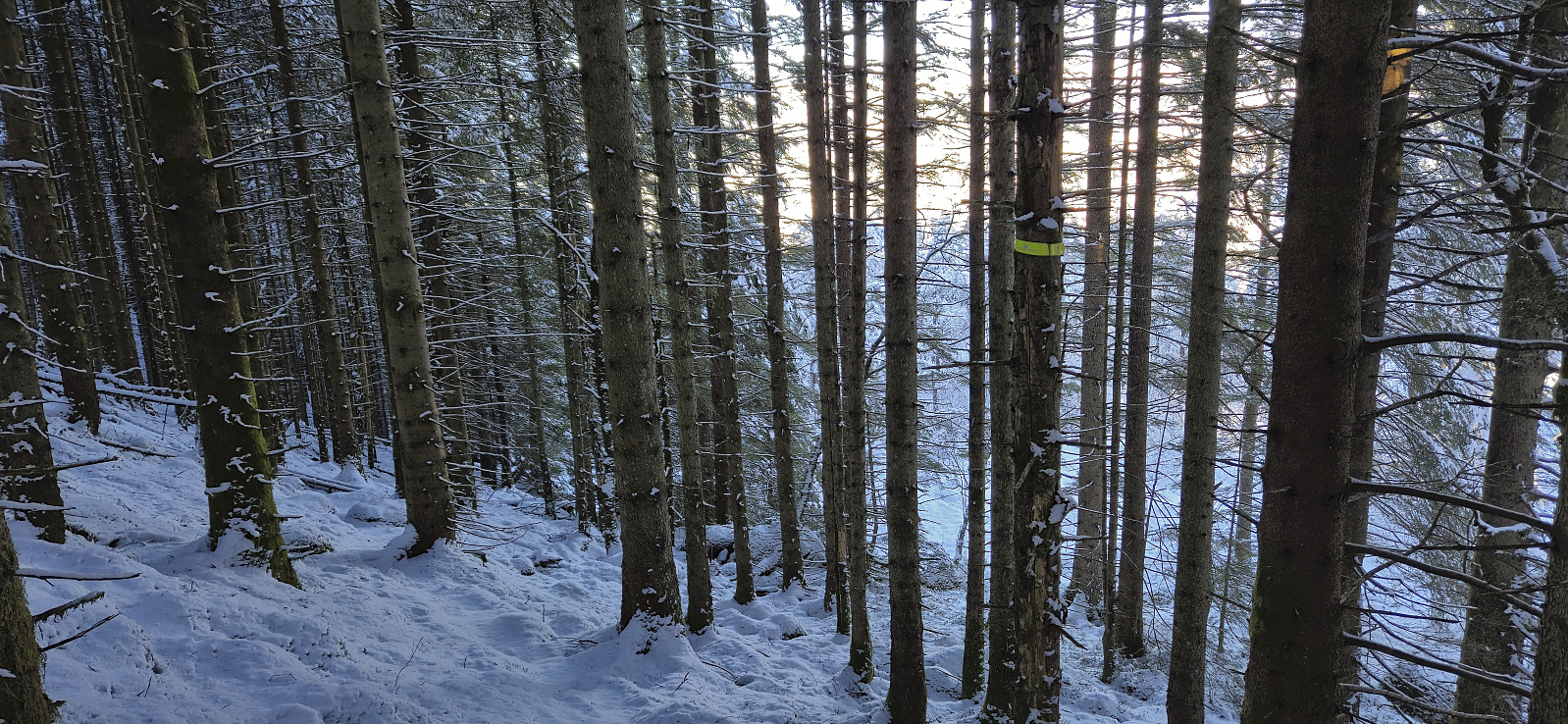
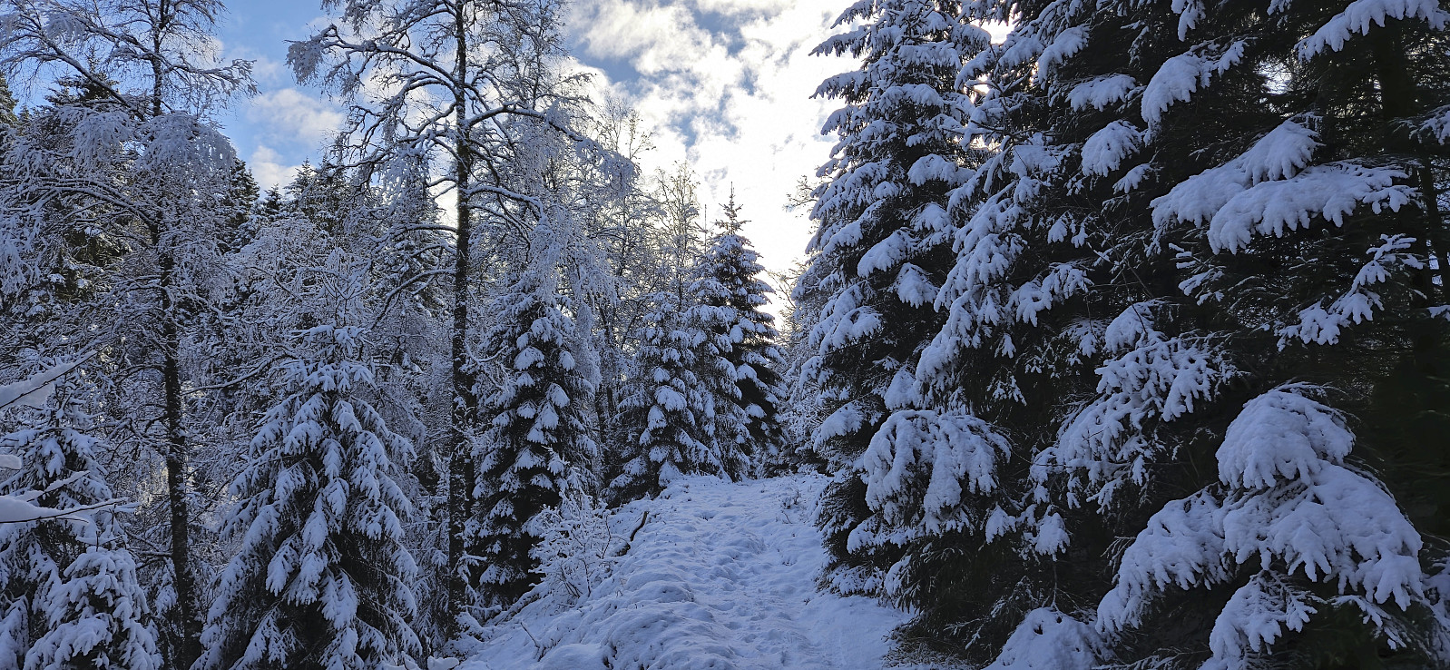 I started from the last bus stop at Flaktveit and from there followed the trail on the eastern side of Kråvatnet. After crossing the bridge near the southern end of the lake, I continued south on a trail that soon disappeared underneath the snow. I was therefore was happy when later connecting with the tractor road coming up from Kalsåsvatnet.
The tractor road turned into a trail that I followed until it started heading towards the gravel road west of Storhovden . Here I left the main trail and continued on a smaller trail through the old pine forest up to Hålihovden . Next up was Hjortlandsåsen/Furkammane , which only required a minor detour from the winding trail.
From Hjortlandsåsen, I turned south for a quick visit of Storhovden and then headed off-trail towards the final peak of the day: Hovdane . Here I had a short break just north of the >>>
I started from the last bus stop at Flaktveit and from there followed the trail on the eastern side of Kråvatnet. After crossing the bridge near the southern end of the lake, I continued south on a trail that soon disappeared underneath the snow. I was therefore was happy when later connecting with the tractor road coming up from Kalsåsvatnet.
The tractor road turned into a trail that I followed until it started heading towards the gravel road west of Storhovden . Here I left the main trail and continued on a smaller trail through the old pine forest up to Hålihovden . Next up was Hjortlandsåsen/Furkammane , which only required a minor detour from the winding trail.
From Hjortlandsåsen, I turned south for a quick visit of Storhovden and then headed off-trail towards the final peak of the day: Hovdane . Here I had a short break just north of the >>>
Lyshornet and Vardahaugane
- Datum:
- 15.02.2025
- Tourcharakter:
- Bergtour
- Tourlänge:
- 3:03h
- Entfernung:
- 8,9km
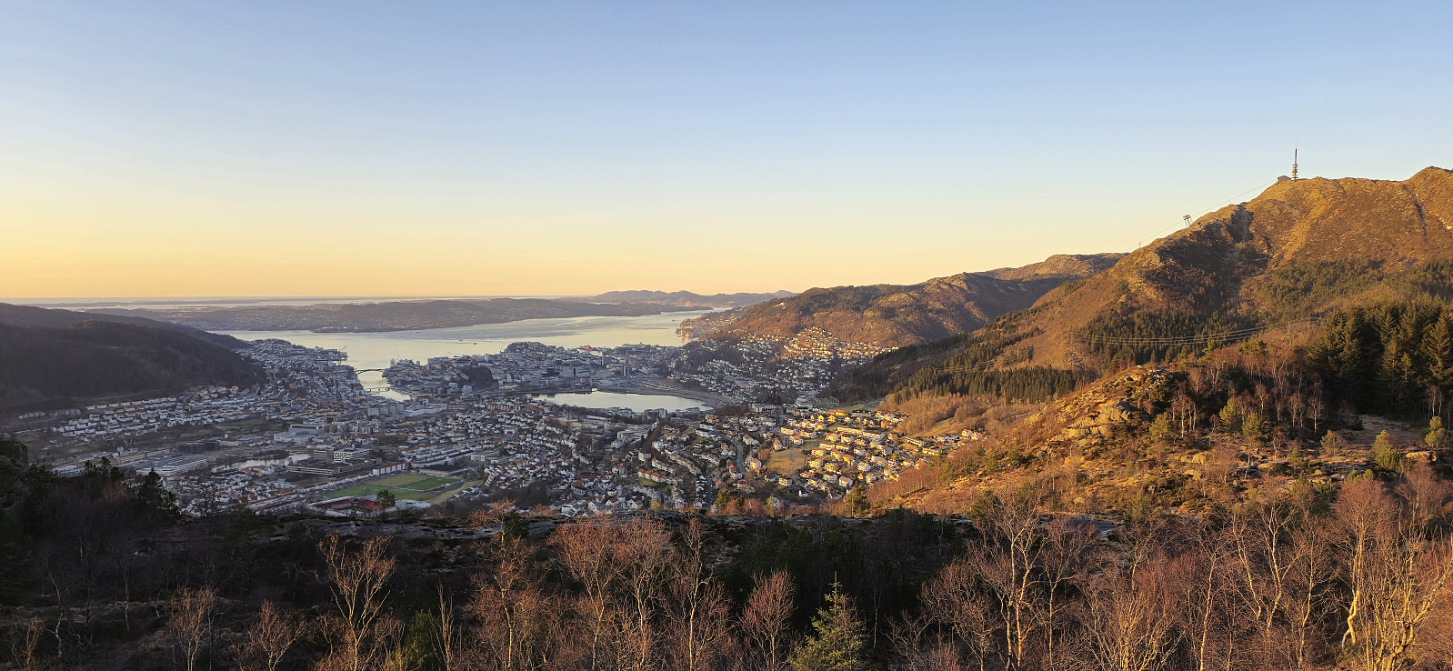
 A return to Lyshornet with the main objective of also visiting Vardahaugane , yet another minor peak on the Alle topper i Bergen list .
I started by taking the bus to southwest of Lysekloster and from there followed the snow-covered gravel road to the marked trailhead for Lyshornet. The initially quite steep trail would have been easy to miss without the sign at the trailhead but, partly thanks to footprints in the snow, led me all the way to the excellent views at the top of Lyshornet.
I continued east along the trail into the valley between Lyshornet and Vetla Lyshornet . Here I turned north and tried to follow a trail in the direction of Vardahaugane . But with the trail hidden underneath the snow and no longer any footprints leading the way, I was never sure whether I was on the trail or not.
The highest point at Vardahaugane was still easily reached, but given its >>>
A return to Lyshornet with the main objective of also visiting Vardahaugane , yet another minor peak on the Alle topper i Bergen list .
I started by taking the bus to southwest of Lysekloster and from there followed the snow-covered gravel road to the marked trailhead for Lyshornet. The initially quite steep trail would have been easy to miss without the sign at the trailhead but, partly thanks to footprints in the snow, led me all the way to the excellent views at the top of Lyshornet.
I continued east along the trail into the valley between Lyshornet and Vetla Lyshornet . Here I turned north and tried to follow a trail in the direction of Vardahaugane . But with the trail hidden underneath the snow and no longer any footprints leading the way, I was never sure whether I was on the trail or not.
The highest point at Vardahaugane was still easily reached, but given its >>>
Nattlandsfjellet to Haukeland sykehus
- Datum:
- 12.02.2025
- Tourcharakter:
- Bergtour
- Tourlänge:
- 2:08h
- Entfernung:
- 5,1km
 Short hike with two colleagues before heading home from work.
Across Hellen festning
- Datum:
- 11.02.2025
- Tourcharakter:
- Wanderung
- Tourlänge:
- 0:46h
- Entfernung:
- 3,4km
 Short local hike just after sunset.
Furukammen
- Datum:
- 10.02.2025
- Tourcharakter:
- Wanderung
- Tourlänge:
- 1:05h
- Entfernung:
- 4,4km
 Short local evening hike.
