Archiv - Nach Datum
Archiv - Nach Aktivität
-
Andere Tour (3)
- Kayaking (3)
-
Fahrradtour (111)
- Fahrradtour Straße (86)
- Fahrradtour gemischt (25)
-
Fahrzeugtour (9)
- Autotour (9)
-
Fußtour (1897)
- Bergtour (1120)
- Jogging (1)
- Spaziergang (60)
- Wanderung (716)
-
Skitour (116)
- Langlauf (47)
- Tourenskilauf (69)
Gesammelte Listen
-
Utvalgte topper og turmål i Bergen
(349/351)
 99%
99% -
Alle topper i Bergen
(393/400)
98%
-
Voss ≥ 100m pf.
(96/98)
97%
-
Opptur Hordaland
(144/159)
90%
-
Stasjoner på Bergensbanen
(33/40)
82%
-
Ulvik ≥ 100m pf.
(30/38)
78%
-
Hordaland ≥ 100m pf.
(624/863)
72%
-
Mjølfjell PF > 100m
(21/31)
67%
-
Jondal ≥ 100m pf.
(15/23)
65%
-
Dagsturhyttene i Vestland
(36/61)
59%
-
Sunnhordland PF >= 100m
(105/186)
56%
-
Hordaland: Hardanger PF>=100m
(196/359)
54%
-
DNT-hytter i Hordaland
(23/45)
51%
-
Kvinnherad ≥ 100m pf.
(40/79)
50%
-
Eidfjord ≥ 100m pf.
(13/42)
30%
-
Sogndal ≥ 100m pf.
(23/81)
28%
-
Gulen ≥ 100m pf.
(15/54)
27%
-
Vik i Sogn ≥ 100m pf.
(10/46)
21%
-
Sogn - Sør for Sognefjorden PF>=100m
(31/159)
19%
-
DNT-hytter i Sogn og Fjordane
(8/47)
17%

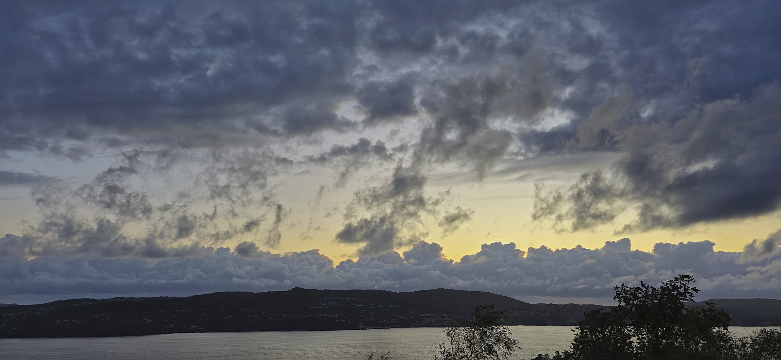
Across Hellen festning
- Datum:
- 04.09.2024
- Tourcharakter:
- Wanderung
- Tourlänge:
- 0:51h
- Entfernung:
- 3,8km
 Short local evening hike.
Cycling: Rallarvegen and Austre Låghellerhøgdene
- Datum:
- 01.09.2024
- Tourcharakter:
- Fahrradtour gemischt
- Tourlänge:
- 4:59h
- Entfernung:
- 40,7km
 To take full advantage the warm and sunny weather, I decided to combine a bike ride along Rallarvegen with a visit of Austre Låghellerhøgdene . I had rented a bike in advance which I picked up at Finse after arriving by train from Bergen. Shortly, I was on the bike and cycling northwest along the overall good quality gravel road.
After passing the highest point at Rallarvegen (at 1343 meters) I descended towards Fagernut . Just before getting to the cabin, I left the bike behind for a short off-trail hike to the summit of Austre Låghellerhøgdene. The ascent was straightforward, however finding the exact summit was more tricky with three minor hills to choose from. As usual, I simply visited all of them, before descending along more or less the same route.
Back on the bike, I made a short stop outside Fagernut before continuing on the gravel road to Hallingskeid. >>>
To take full advantage the warm and sunny weather, I decided to combine a bike ride along Rallarvegen with a visit of Austre Låghellerhøgdene . I had rented a bike in advance which I picked up at Finse after arriving by train from Bergen. Shortly, I was on the bike and cycling northwest along the overall good quality gravel road.
After passing the highest point at Rallarvegen (at 1343 meters) I descended towards Fagernut . Just before getting to the cabin, I left the bike behind for a short off-trail hike to the summit of Austre Låghellerhøgdene. The ascent was straightforward, however finding the exact summit was more tricky with three minor hills to choose from. As usual, I simply visited all of them, before descending along more or less the same route.
Back on the bike, I made a short stop outside Fagernut before continuing on the gravel road to Hallingskeid. >>>
Vest av Trollegilsbotnen and Skjerjevassryggen
- Datum:
- 31.08.2024
- Tourcharakter:
- Bergtour
- Tourlänge:
- 5:12h
- Entfernung:
- 17,3km
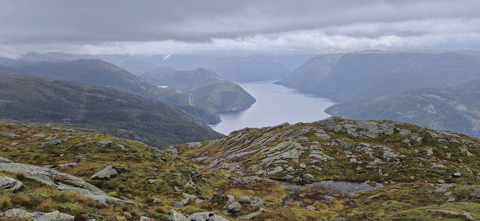
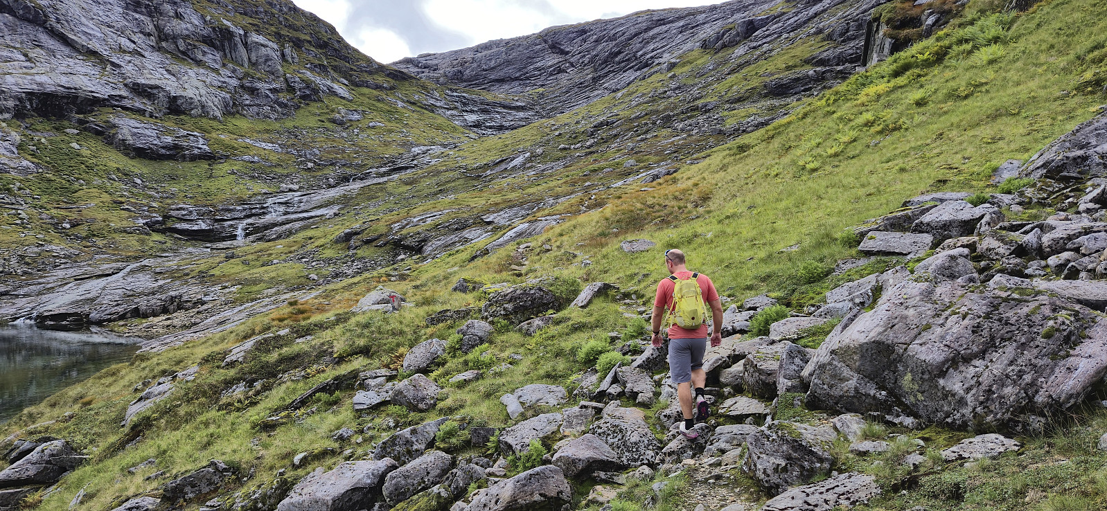 After the drive north from Bergen, Endre and I left the car at the parking lot at the end of the road up to Svartavatnet and started on the marked trail to Vardadalsbu . Upon connecting with the gravel road south of Skjerjevatnet we briefly followed the road southeast before ascending off-trail to the summit of Vest av Trollegilsbotnen . A bit of easy scrambling was required but we reached the summit without any real challenges. Finding the exact summit was more difficult, hence we simply visited all of the likely candidates. Before descending we also made a short detour south to look down into Modalen.
After getting back to the gravel road west of Vest av Trollegilsbotnen we followed the road north until reconnecting with the marked trail to Vardadalsbu. Here we left the gravel road and continued on the trail. This would soon lead us across two metal bridges that enabled us to easily cross >>>
After the drive north from Bergen, Endre and I left the car at the parking lot at the end of the road up to Svartavatnet and started on the marked trail to Vardadalsbu . Upon connecting with the gravel road south of Skjerjevatnet we briefly followed the road southeast before ascending off-trail to the summit of Vest av Trollegilsbotnen . A bit of easy scrambling was required but we reached the summit without any real challenges. Finding the exact summit was more difficult, hence we simply visited all of the likely candidates. Before descending we also made a short detour south to look down into Modalen.
After getting back to the gravel road west of Vest av Trollegilsbotnen we followed the road north until reconnecting with the marked trail to Vardadalsbu. Here we left the gravel road and continued on the trail. This would soon lead us across two metal bridges that enabled us to easily cross >>>
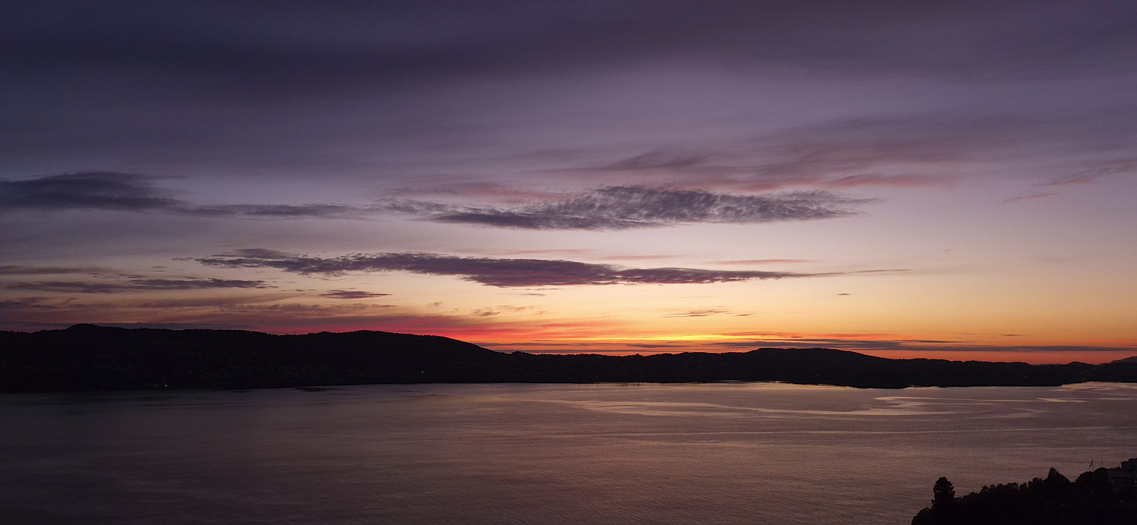
Furukammen and Hellen festning
- Datum:
- 29.08.2024
- Tourcharakter:
- Wanderung
- Tourlänge:
- 0:41h
- Entfernung:
- 3,1km
 Short local evening hike just before sunset.
Vardefjellet
- Datum:
- 24.08.2024
- Tourcharakter:
- Bergtour
- Tourlänge:
- 2:00h
- Entfernung:
- 4,2km
 After first postponing the drive from Bergen by three hours in an attempt to avoid the worst rain showers and potential thunder storms, Endre finally picked me up shortly after 11:00 and together we headed for Masfjorden. The choice to wait turned out to be good one as the rain showers during our drive north were at times so intense that the windscreen wipers struggled to clear the countless large raindrops.
When we arrived at the small parking lot next to the road east of Vardefjellet the rain had however almost stopped and the weather forecast promised almost two hours with little to no rain. We therefore quickly left the car and started our ascent. Largely, we followed in the footsteps of GeirL and his GPS-track from 2016 which started by following the marked trail to Bergsviksetra before later heading off-trail towards the summit via various deer tracks. >>>
After first postponing the drive from Bergen by three hours in an attempt to avoid the worst rain showers and potential thunder storms, Endre finally picked me up shortly after 11:00 and together we headed for Masfjorden. The choice to wait turned out to be good one as the rain showers during our drive north were at times so intense that the windscreen wipers struggled to clear the countless large raindrops.
When we arrived at the small parking lot next to the road east of Vardefjellet the rain had however almost stopped and the weather forecast promised almost two hours with little to no rain. We therefore quickly left the car and started our ascent. Largely, we followed in the footsteps of GeirL and his GPS-track from 2016 which started by following the marked trail to Bergsviksetra before later heading off-trail towards the summit via various deer tracks. >>>
Ørneberget and Furukammen
- Datum:
- 21.08.2024
- Tourcharakter:
- Bergtour
- Tourlänge:
- 1:55h
- Entfernung:
- 4,3km
 Short local hike on a rare sunny evening.
Across Hellen festning
- Datum:
- 19.08.2024
- Tourcharakter:
- Wanderung
- Tourlänge:
- 0:34h
- Entfernung:
- 3,1km
 Short local evening hike.
Åstveitskogen and Åstveitvågen
- Datum:
- 18.08.2024
- Tourcharakter:
- Bergtour
- Tourlänge:
- 1:37h
- Entfernung:
- 5,6km
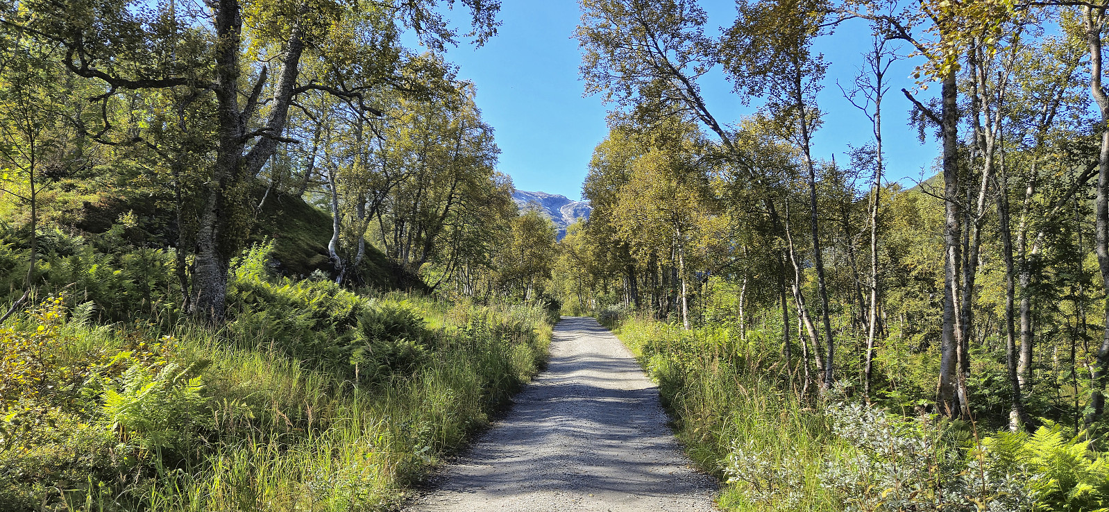
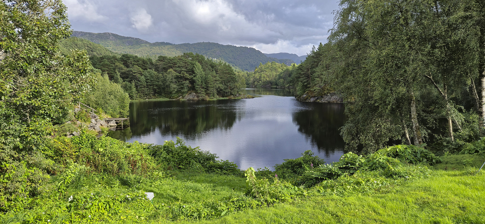 A return to Åstveitskogen to explore some of the trails I did not check out during my last visit . This time I also completed the trip around Åstveitvatnet and included a short detour down to Åstveitvågen. Lots of slippery roots and muddy areas after the recent rain showers, but overall a very nice short hike.
Jernbanestasjonen to Lønborg
- Datum:
- 17.08.2024
- Tourcharakter:
- Wanderung
- Tourlänge:
- 1:38h
- Entfernung:
- 8,4km
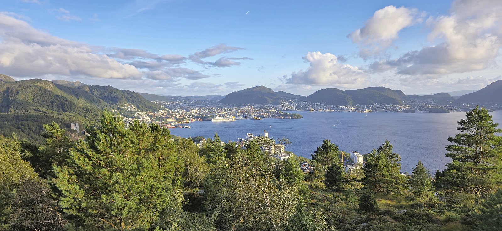
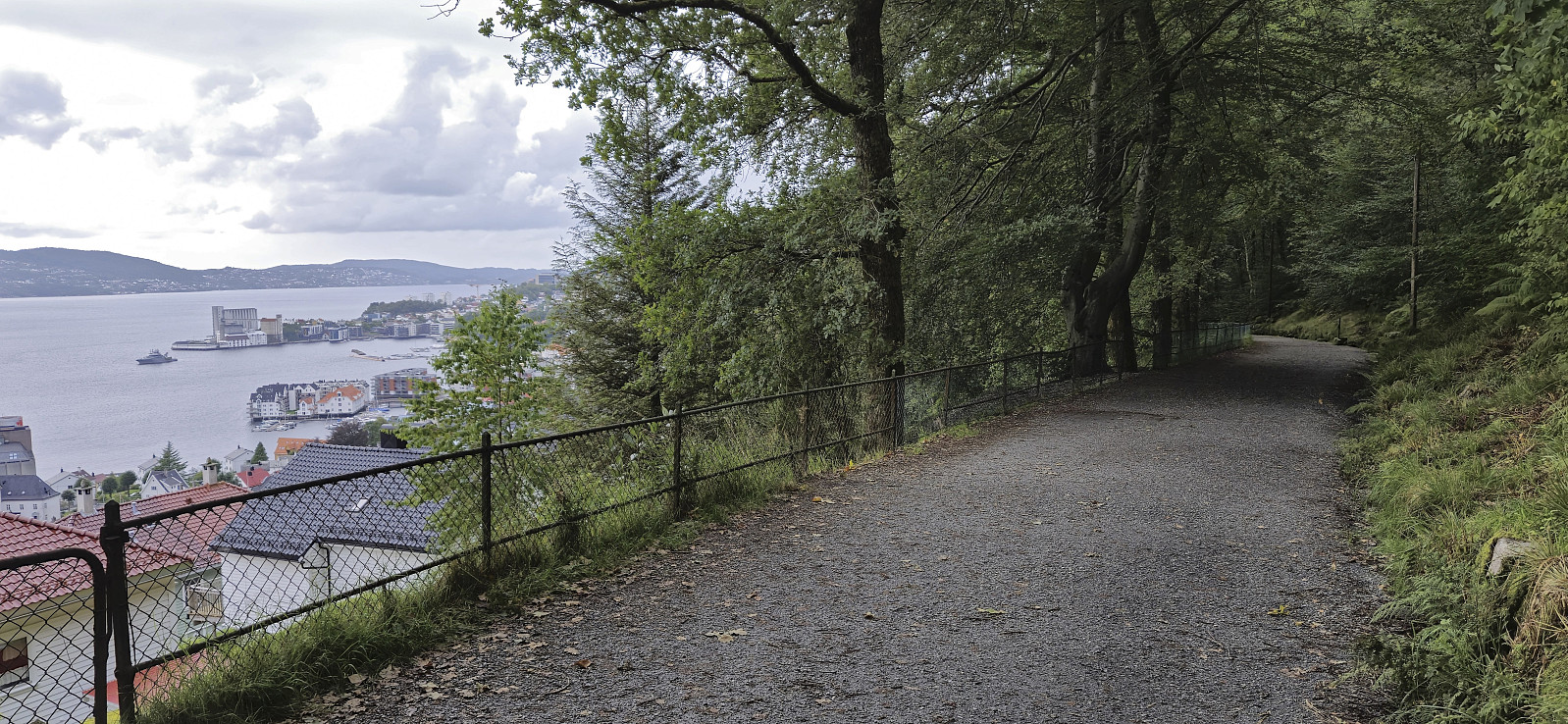 After the plan of revisiting Hananipa was abandoned due to the rain , I returned to Bergen via the train and then walked home from the train station.
Trengereid
- Datum:
- 17.08.2024
- Tourcharakter:
- Spaziergang
- Tourlänge:
- 0:13h
- Entfernung:
- 1,3km
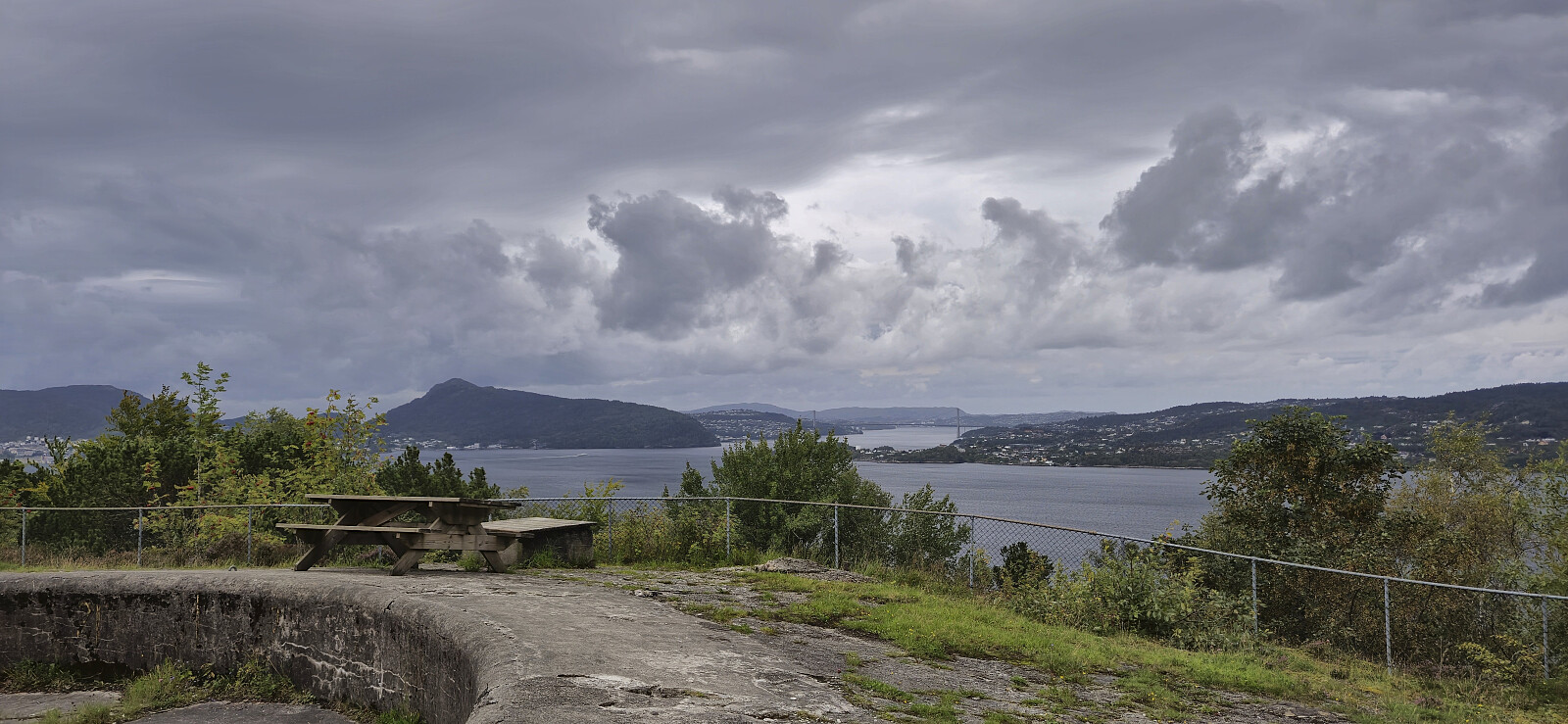
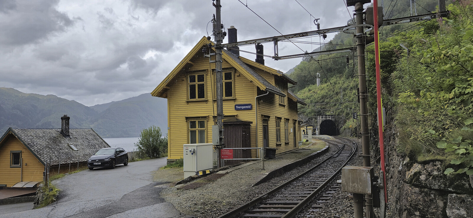 A return to Trengereid to take a picture of the train station for the corresponding PB-element . The plan was to also include a revisit of Hananipa , but as it started raining seconds after I got off the bus, I ditched this plan and took the train back to Bergen for a hike there instead .
