Archiv - Nach Datum
Archiv - Nach Aktivität
-
Andere Tour (3)
- Kayaking (3)
-
Fahrradtour (109)
- Fahrradtour Straße (84)
- Fahrradtour gemischt (25)
-
Fahrzeugtour (9)
- Autotour (9)
-
Fußtour (1884)
- Bergtour (1114)
- Jogging (1)
- Spaziergang (59)
- Wanderung (710)
-
Skitour (116)
- Langlauf (47)
- Tourenskilauf (69)
Gesammelte Listen
-
Utvalgte topper og turmål i Bergen
(348/349)
 99%
99% -
Alle topper i Bergen
(391/398)
98%
-
Voss ≥ 100m pf.
(96/98)
97%
-
Opptur Hordaland
(144/159)
90%
-
Stasjoner på Bergensbanen
(33/40)
82%
-
Ulvik ≥ 100m pf.
(28/38)
73%
-
Hordaland ≥ 100m pf.
(622/863)
72%
-
Mjølfjell PF > 100m
(21/31)
67%
-
Jondal ≥ 100m pf.
(15/23)
65%
-
Dagsturhyttene i Vestland
(36/61)
59%
-
Sunnhordland PF >= 100m
(105/186)
56%
-
Hordaland: Hardanger PF>=100m
(194/359)
54%
-
DNT-hytter i Hordaland
(23/45)
51%
-
Kvinnherad ≥ 100m pf.
(40/79)
50%
-
Eidfjord ≥ 100m pf.
(13/42)
30%
-
Sogndal ≥ 100m pf.
(23/81)
28%
-
Gulen ≥ 100m pf.
(15/54)
27%
-
Vik i Sogn ≥ 100m pf.
(10/46)
21%
-
Sogn - Sør for Sognefjorden PF>=100m
(31/159)
19%
-
DNT-hytter i Sogn og Fjordane
(8/47)
17%

Helleveien and Furukammen
- Datum:
- 27.09.2023
- Tourcharakter:
- Wanderung
- Tourlänge:
- 1:36h
- Entfernung:
- 5,2km
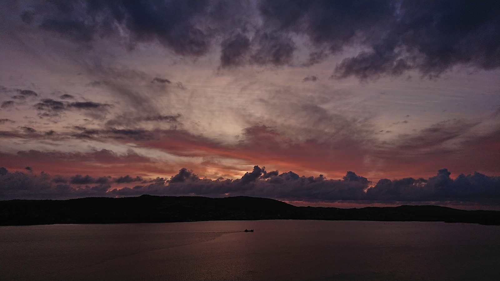
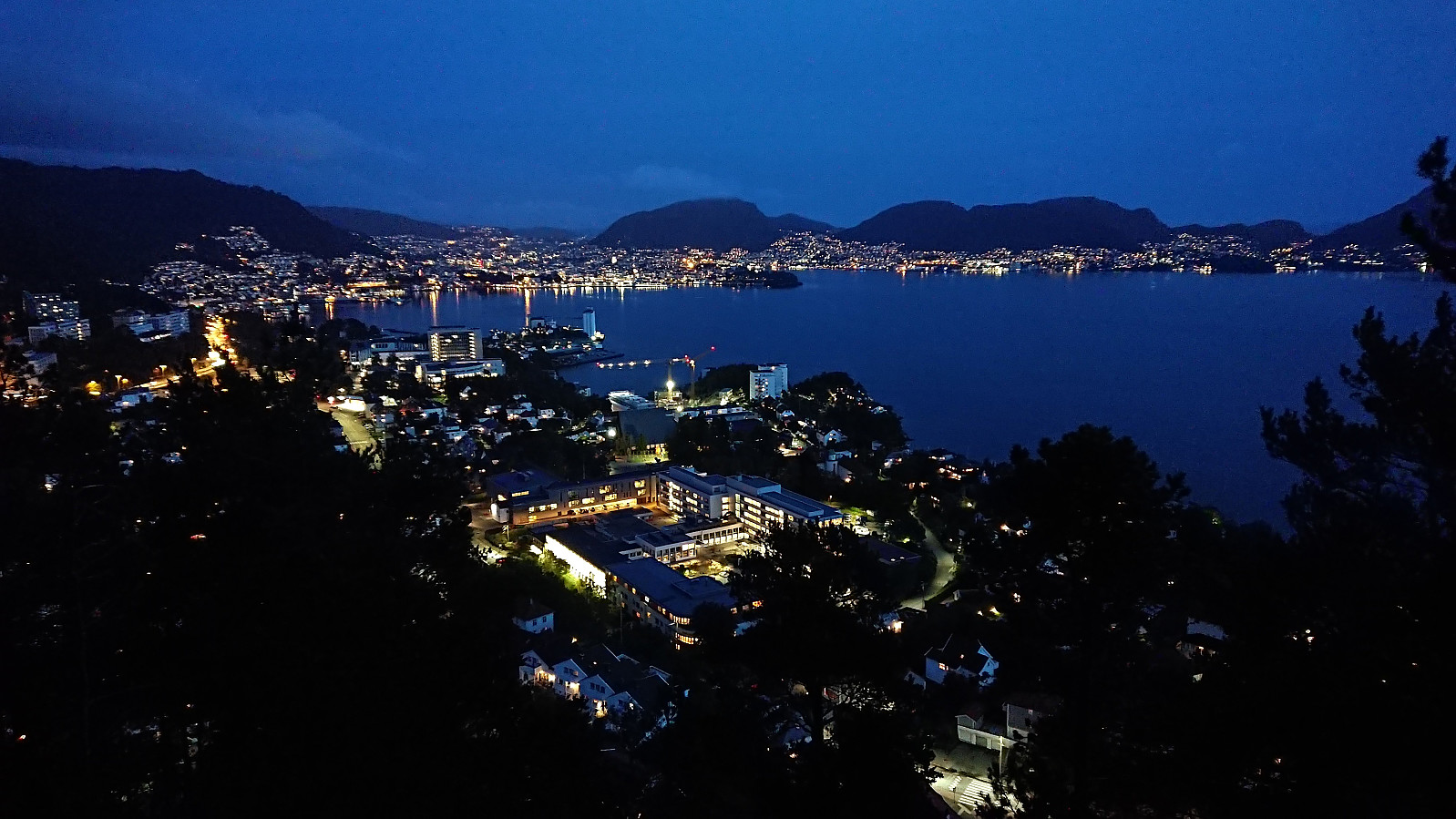 Short local evening hike.
Across Hellen festning
- Datum:
- 26.09.2023
- Tourcharakter:
- Wanderung
- Tourlänge:
- 0:36h
- Entfernung:
- 3,2km
 Short local evening hike.
Byrseteggi from Bjørgum to Gjerdåker
- Datum:
- 24.09.2023
- Tourcharakter:
- Bergtour
- Tourlänge:
- 6:12h
- Entfernung:
- 24,6km
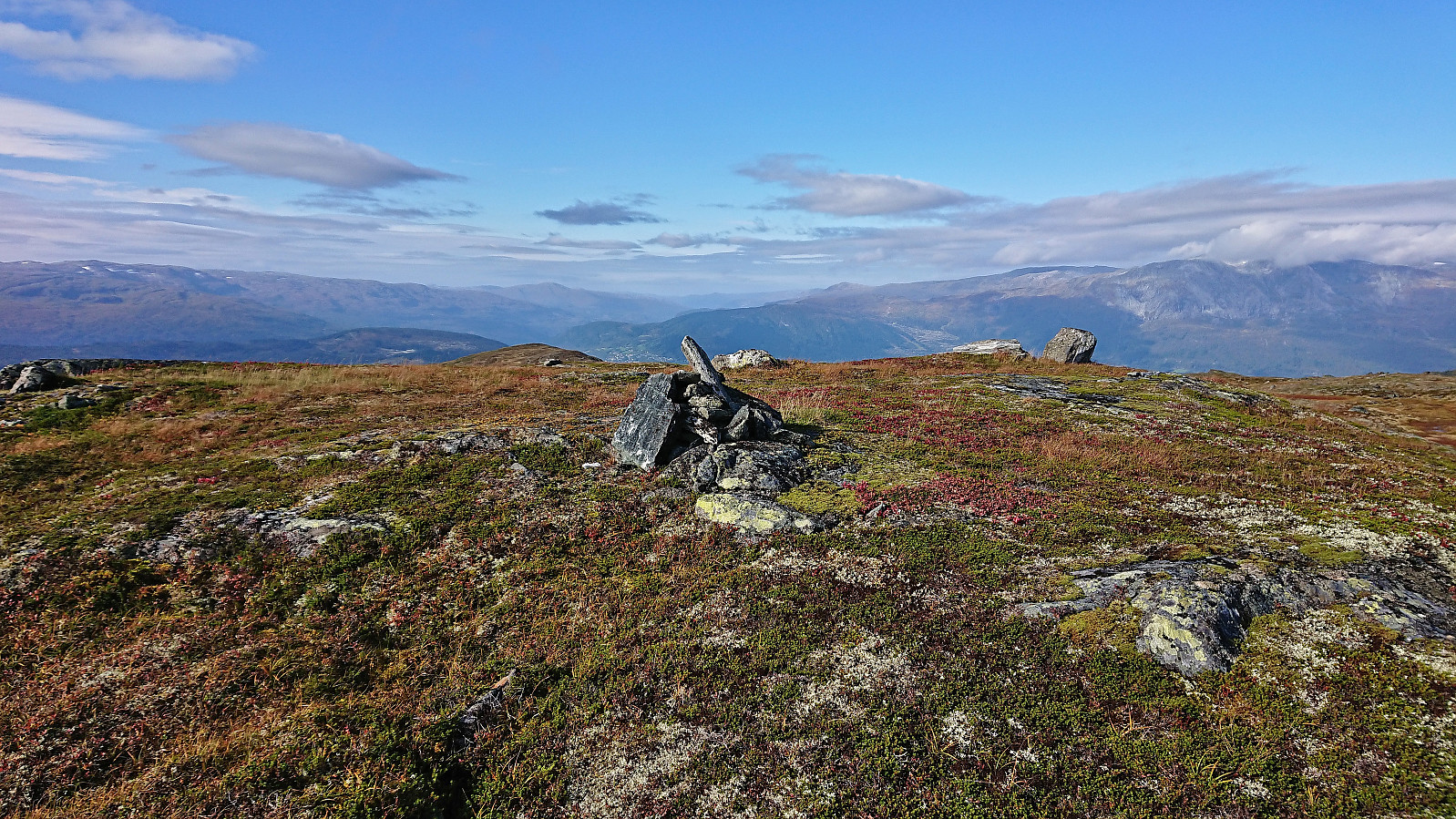 Started by taking the train to Voss where I switched to bus and continued southeast in the direction of Granvin and getting off at the bus stop called Bjørgum. From there I followed the roads up to Fennastølen for the real start of the hike. The weather had gradually improved during the ascent, such that when I started the final off-trail ascent to Byrseteggi most of the clouds had disappeared and I could fully enjoy the beautiful fall colors.
The map indicated a trail heading north from Fennastølen but I failed to find any traces of such a trail. However, the final ascent was still straightforward and it did not take long before I arrived at the summit of Byrseteggi. It provided excellent panoramic views, and a great overview of Horndalsnuten and the rest of Raundalsryggen to the northeast/east. Even though the >>>
Started by taking the train to Voss where I switched to bus and continued southeast in the direction of Granvin and getting off at the bus stop called Bjørgum. From there I followed the roads up to Fennastølen for the real start of the hike. The weather had gradually improved during the ascent, such that when I started the final off-trail ascent to Byrseteggi most of the clouds had disappeared and I could fully enjoy the beautiful fall colors.
The map indicated a trail heading north from Fennastølen but I failed to find any traces of such a trail. However, the final ascent was still straightforward and it did not take long before I arrived at the summit of Byrseteggi. It provided excellent panoramic views, and a great overview of Horndalsnuten and the rest of Raundalsryggen to the northeast/east. Even though the >>>
Across Hellen festning
- Datum:
- 22.09.2023
- Tourcharakter:
- Wanderung
- Tourlänge:
- 0:36h
- Entfernung:
- 3,2km
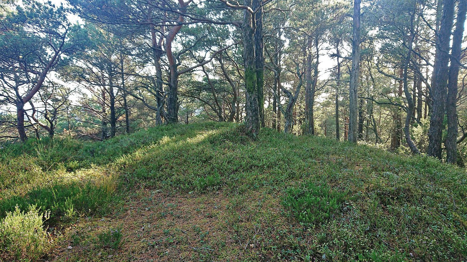
 Short local evening hike just before sunset.
Ørneberget and Hellen festning
- Datum:
- 21.09.2023
- Tourcharakter:
- Bergtour
- Tourlänge:
- 1:08h
- Entfernung:
- 4,7km
 Short local evening hike.
Hovdafjellet, Vardafjellet, Selsåsåsen and Børshovda
- Datum:
- 17.09.2023
- Tourcharakter:
- Bergtour
- Tourlänge:
- 6:49h
- Entfernung:
- 24,1km
 Ever since my visit of Storås at the end of April, the plans had been ready for a return to Sveio to ascend the four remaining summits on the Sveio ≥ 100m pf. list . Other hikes had however gotten the priority since then but now it was finally time. I started by taking the express bus (and ferry) from Bergen to Sveio where I got off at the stop called Liavegen. From there I followed the smaller roads east towards the first goal of the day: Hovdafjellet .
Very limited traffic, which was important given the lack of sidewalks, and great views along the way made this first transportation stage more enjoyable than expected. Upon approaching Hovdafjellet I followed the road until the final house west of the summit. Here I passed through a gate and followed various animal tracks to reach the summit without any issues (except for a barking dog that thankfully >>>
Ever since my visit of Storås at the end of April, the plans had been ready for a return to Sveio to ascend the four remaining summits on the Sveio ≥ 100m pf. list . Other hikes had however gotten the priority since then but now it was finally time. I started by taking the express bus (and ferry) from Bergen to Sveio where I got off at the stop called Liavegen. From there I followed the smaller roads east towards the first goal of the day: Hovdafjellet .
Very limited traffic, which was important given the lack of sidewalks, and great views along the way made this first transportation stage more enjoyable than expected. Upon approaching Hovdafjellet I followed the road until the final house west of the summit. Here I passed through a gate and followed various animal tracks to reach the summit without any issues (except for a barking dog that thankfully >>>
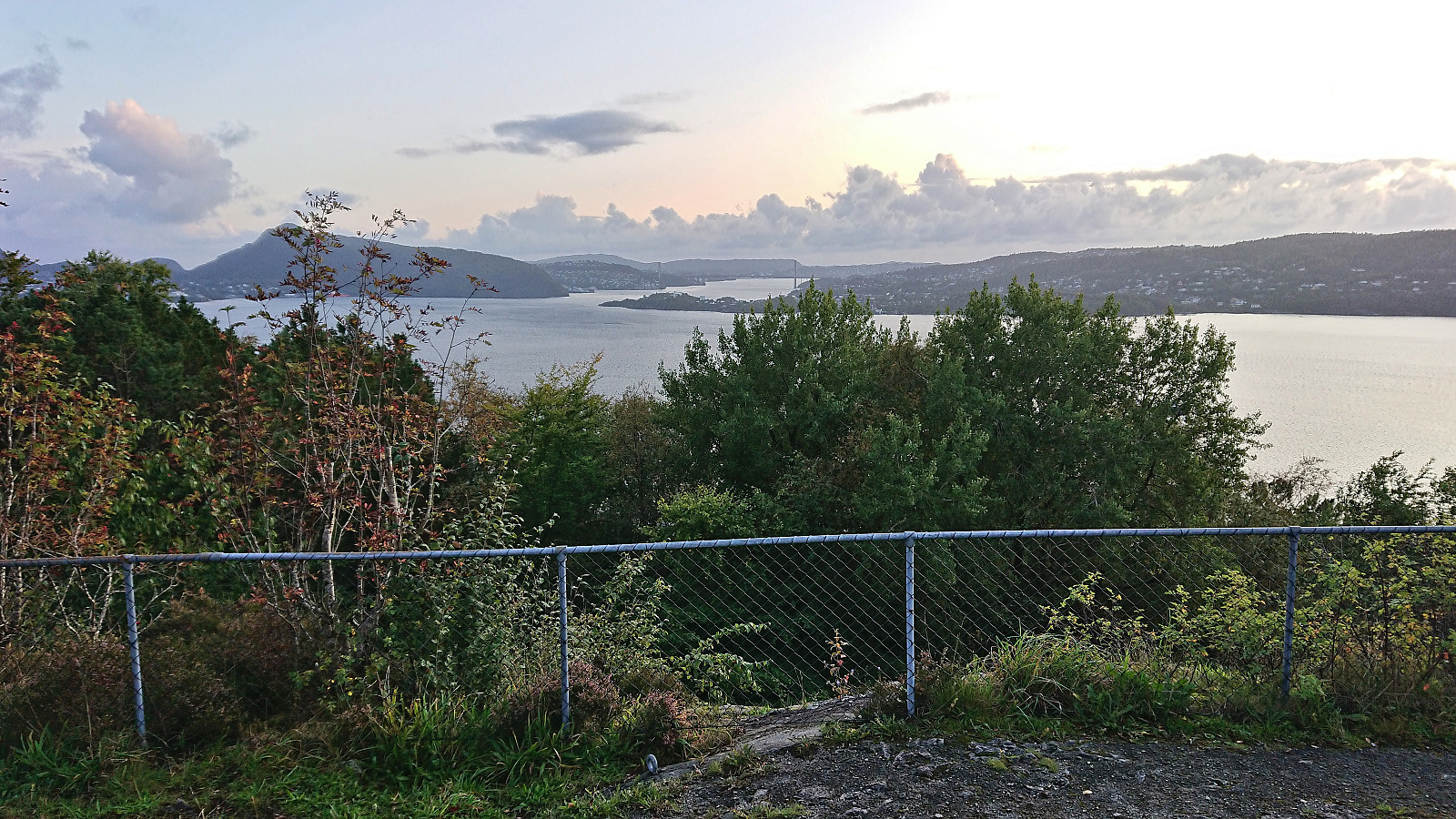
Hellen festning and Furukammen
- Datum:
- 16.09.2023
- Tourcharakter:
- Wanderung
- Tourlänge:
- 3:18h
- Entfernung:
- 4,4km
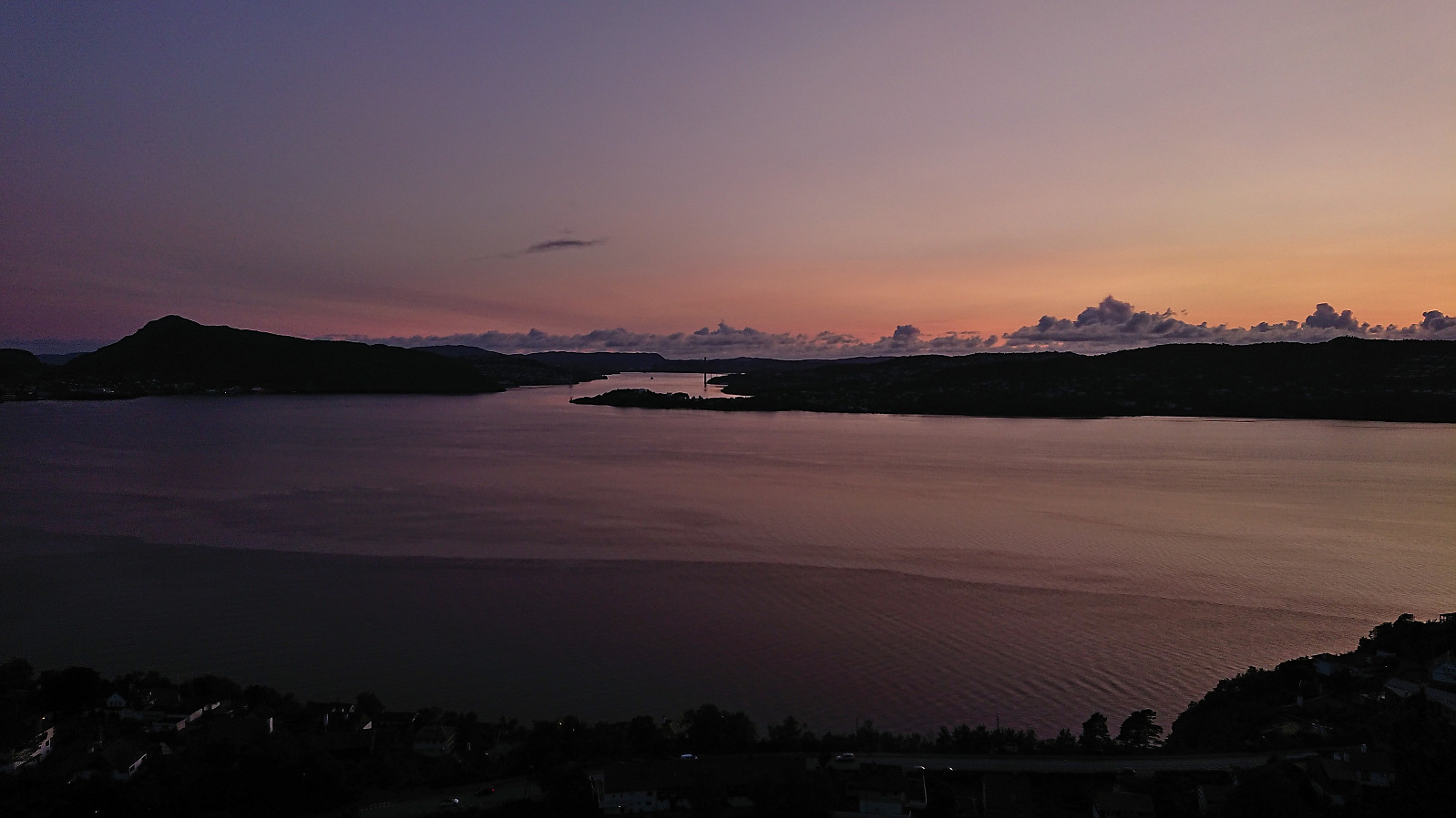 Short local Saturday hike with a longer stop in Øyjorden.
Kleppaksla, Storevarden, Vetenbua and Førdesveten
- Datum:
- 13.09.2023
- Tourcharakter:
- Bergtour
- Tourlänge:
- 2:30h
- Entfernung:
- 6,9km
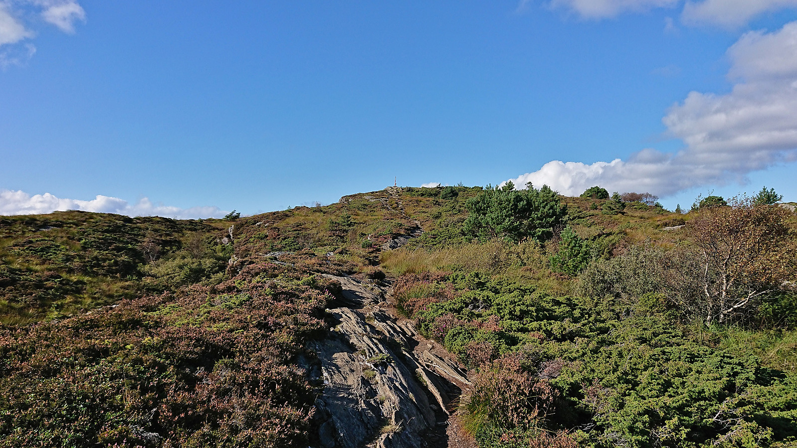 I left work early to take advantage of the great weather for a revisit of Førdesveten , mainly due to the recently opened dagsturhytte right next to the summit. After taking the bus from the city center, and switching buses at Skogskiftet terminal, I got off at Kleppe from where I followed a nice trail northwest. There was a sign at the trailhead but the trail itself was unmarked, except for the occasional small cairn later on, however the trail was easy to follow and I soon arrived at Kleppaksla . At Kleppaksla there was a visitor register just south of the highest point and excellent views in all directions.
From Kleppaksla I continued northeast along the trail until reaching the crossroads south of Førdesveten where I decided to make a short detour to Storevarden before returning and completing the final climb to the summit. The new >>>
I left work early to take advantage of the great weather for a revisit of Førdesveten , mainly due to the recently opened dagsturhytte right next to the summit. After taking the bus from the city center, and switching buses at Skogskiftet terminal, I got off at Kleppe from where I followed a nice trail northwest. There was a sign at the trailhead but the trail itself was unmarked, except for the occasional small cairn later on, however the trail was easy to follow and I soon arrived at Kleppaksla . At Kleppaksla there was a visitor register just south of the highest point and excellent views in all directions.
From Kleppaksla I continued northeast along the trail until reaching the crossroads south of Førdesveten where I decided to make a short detour to Storevarden before returning and completing the final climb to the summit. The new >>>
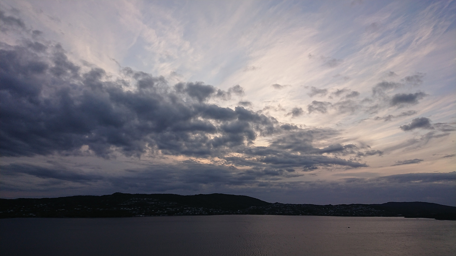
Ørneberget NV and Hellen festning
- Datum:
- 12.09.2023
- Tourcharakter:
- Bergtour
- Tourlänge:
- 0:51h
- Entfernung:
- 3,6km
 Short local evening hike just before sunset.
Helleneset and Hellen festning
- Datum:
- 10.09.2023
- Tourcharakter:
- Wanderung
- Tourlänge:
- 0:51h
- Entfernung:
- 4,0km
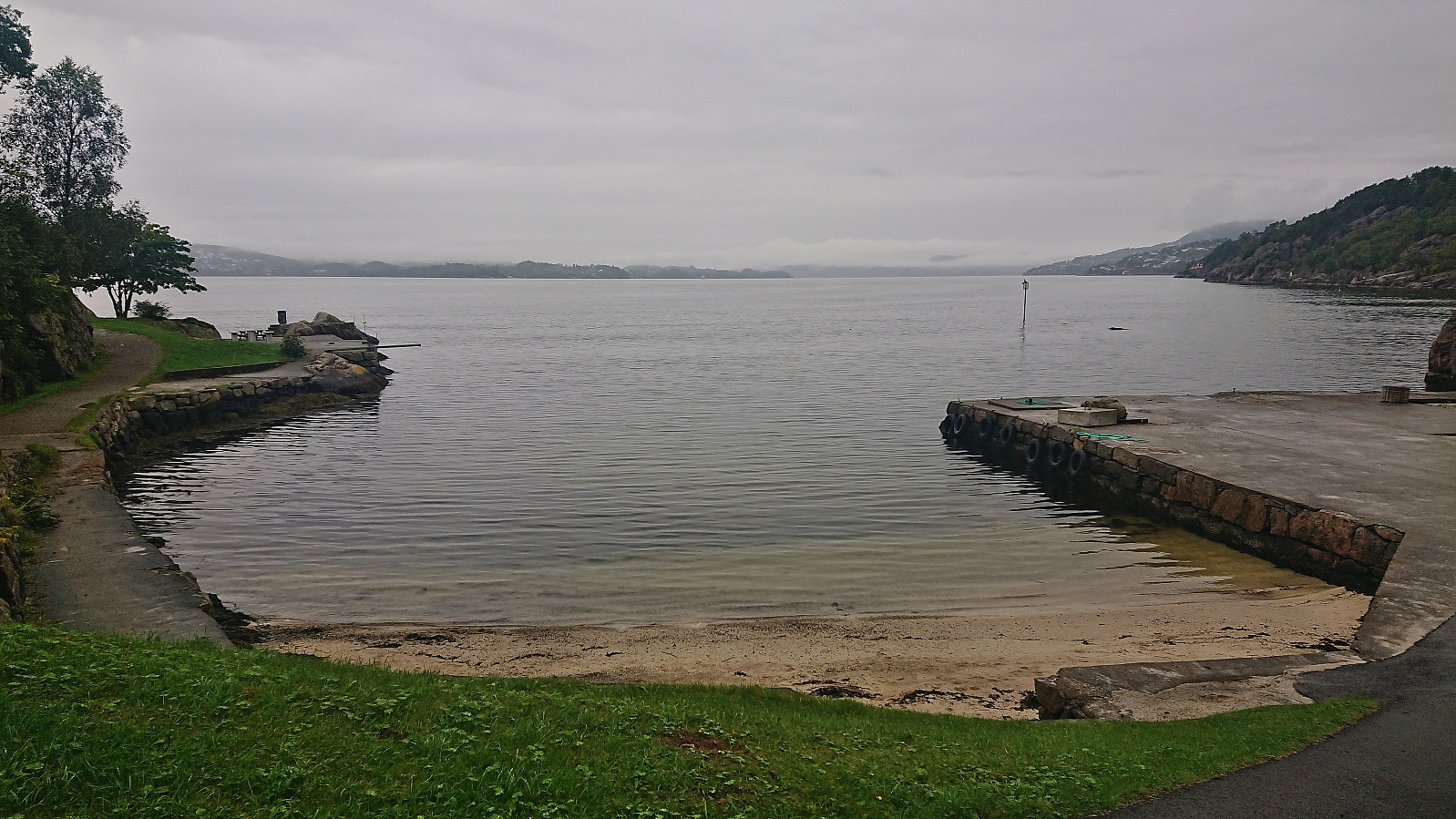 Short local hike on a gray Sunday.
