Archiv - Nach Datum
Archiv - Nach Aktivität
-
Andere Tour (3)
- Kayaking (3)
-
Fahrradtour (111)
- Fahrradtour Straße (86)
- Fahrradtour gemischt (25)
-
Fahrzeugtour (9)
- Autotour (9)
-
Fußtour (1898)
- Bergtour (1120)
- Jogging (1)
- Spaziergang (60)
- Wanderung (717)
-
Skitour (116)
- Langlauf (47)
- Tourenskilauf (69)
Gesammelte Listen
-
Utvalgte topper og turmål i Bergen
(349/351)
 99%
99% -
Alle topper i Bergen
(393/400)
98%
-
Voss ≥ 100m pf.
(96/98)
97%
-
Opptur Hordaland
(144/159)
90%
-
Stasjoner på Bergensbanen
(33/40)
82%
-
Ulvik ≥ 100m pf.
(30/38)
78%
-
Hordaland ≥ 100m pf.
(624/863)
72%
-
Mjølfjell PF > 100m
(21/31)
67%
-
Jondal ≥ 100m pf.
(15/23)
65%
-
Dagsturhyttene i Vestland
(36/61)
59%
-
Sunnhordland PF >= 100m
(105/186)
56%
-
Hordaland: Hardanger PF>=100m
(196/359)
54%
-
DNT-hytter i Hordaland
(23/45)
51%
-
Kvinnherad ≥ 100m pf.
(40/79)
50%
-
Eidfjord ≥ 100m pf.
(13/42)
30%
-
Sogndal ≥ 100m pf.
(23/81)
28%
-
Gulen ≥ 100m pf.
(15/54)
27%
-
Vik i Sogn ≥ 100m pf.
(10/46)
21%
-
Sogn - Sør for Sognefjorden PF>=100m
(31/159)
19%
-
DNT-hytter i Sogn og Fjordane
(8/47)
17%

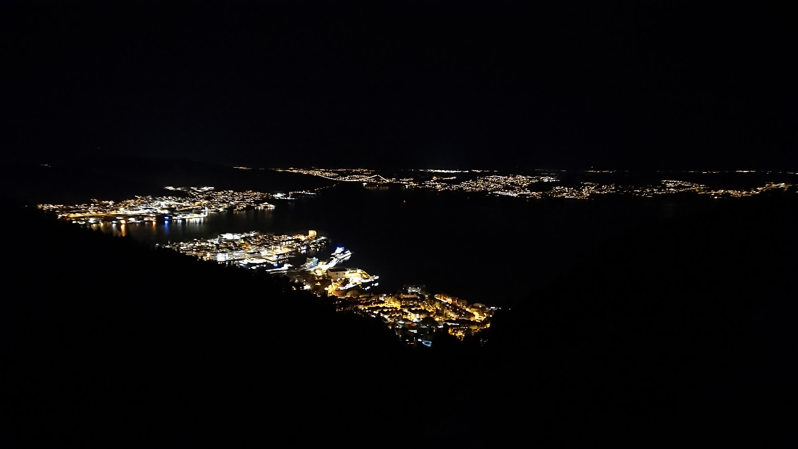
Across Hellen festning
- Datum:
- 18.12.2023
- Tourcharakter:
- Wanderung
- Tourlänge:
- 0:33h
- Entfernung:
- 3,2km
 Short local evening hike where I was only partially successful in avoiding the rain showers.
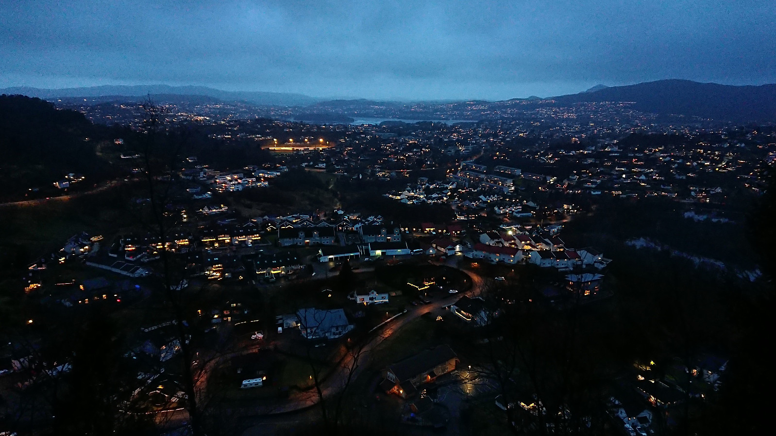
Haukeland sykehus to Bryggen
- Datum:
- 17.12.2023
- Tourcharakter:
- Wanderung
- Tourlänge:
- 1:08h
- Entfernung:
- 4,6km
 A short hike on a wet and foggy Sunday with the main objective of visiting an old trig marker next to the dam at Svartediket . Getting to the trig marker was easier than expected (probably due to my expectations being quite low). Limited views and not much interest for the average hiker though. Before returning to the road I also explored some steps that, combined with additional wooden steps, led to one of the large masts supporting the overhanging power lines just south of the trig marker. The hike was concluded by walking to the city center, including a stroll through Assistentkirkegården .
Birkelandsfjellet
- Datum:
- 16.12.2023
- Tourcharakter:
- Bergtour
- Tourlänge:
- 1:03h
- Entfernung:
- 3,4km
 A return to Birkelandsfjellet for a visit of the trig marker west of the summit . It had been raining all day, but I managed to find a short opening just before it got dark. However, I had not fully considered that the limited light would be further reduced by the dense forest, and therefore did not bring my headlamp. As a result, the steep descent to Kirkebirkeland ended up being slightly more challenging than expected.
Hellemyrstien and Munkebotn
- Datum:
- 10.12.2023
- Tourcharakter:
- Wanderung
- Tourlänge:
- 2:19h
- Entfernung:
- 8,9km
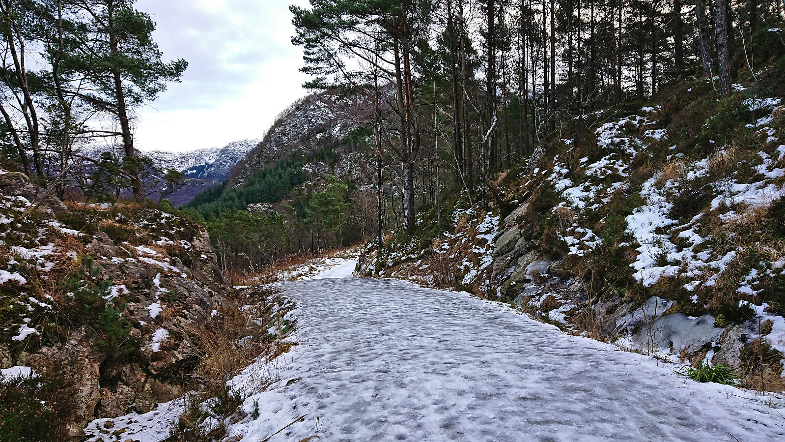 Local Sunday hike along ice-covered trails and roads.
Kråkenipa from Lonevåg
- Datum:
- 09.12.2023
- Tourcharakter:
- Bergtour
- Tourlänge:
- 2:34h
- Entfernung:
- 9,4km
 Ever since my initial attempt at ascending Kråkenipa was abandoned less than 100 meters from the summit due to lots of grazing horses, I knew that I at some point had to return to complete the job. A gray Saturday in December seemed like the perfect opportunity. With the hope that the cold weather and the layer of snow would ensure that the horses would be gone this time around, I therefore set off for Osterøy.
I started by taking the bus to Myrsæter and walking down to the ferry at Breistein. After a short break, the ferry arrived to take me to Valestrand, from where I hopped on a bus to Lonevåg. As soon as I got off the bus at Lonevåg, it occurred to me that I of course could have taken the bus a couple stops further, but it simply had not crossed my mind, probably as I had been so focused on getting to Lonevåg in the first place. But in >>>
Ever since my initial attempt at ascending Kråkenipa was abandoned less than 100 meters from the summit due to lots of grazing horses, I knew that I at some point had to return to complete the job. A gray Saturday in December seemed like the perfect opportunity. With the hope that the cold weather and the layer of snow would ensure that the horses would be gone this time around, I therefore set off for Osterøy.
I started by taking the bus to Myrsæter and walking down to the ferry at Breistein. After a short break, the ferry arrived to take me to Valestrand, from where I hopped on a bus to Lonevåg. As soon as I got off the bus at Lonevåg, it occurred to me that I of course could have taken the bus a couple stops further, but it simply had not crossed my mind, probably as I had been so focused on getting to Lonevåg in the first place. But in >>>
Skiing at Fløyen
- Datum:
- 04.12.2023
- Tourcharakter:
- Langlauf
- Tourlänge:
- 3:07h
- Entfernung:
- 15,4km
 Almost a year ago, I wrote that skiing at Fløyen in December is quite uncommon . However, I may have to take that back, as now, less than a year later, I was back skiing at Fløyen, and even earlier than last year. The conditions were reasonably good and except for the final descent down to Storediket (where I hit a couple of rocks sticking out of the snow) and the last part of the descent down to the start of the climb up to Storevatnet (where I most likely could have skied but did not risk it), the skis stayed on until reaching Smådiket (the small dam below Storevatnet). Here the gravel road started showing up underneath the snow and the skis had to be carried the rest of the way home to Lønborg.
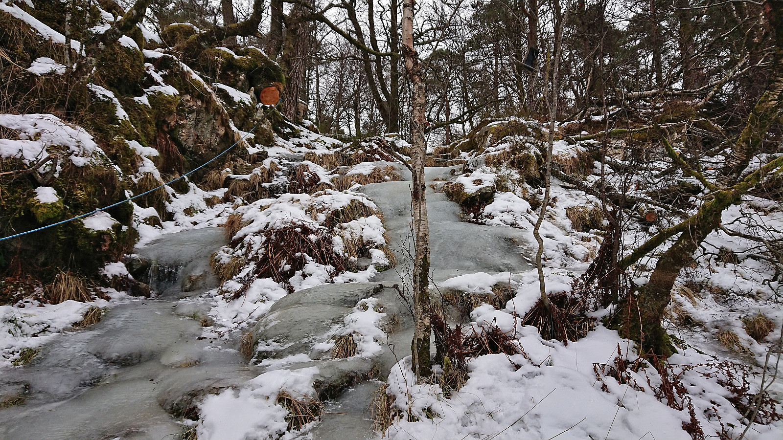
Fjellveien and Hellen festning
- Datum:
- 03.12.2023
- Tourcharakter:
- Wanderung
- Tourlänge:
- 2:35h
- Entfernung:
- 10,4km
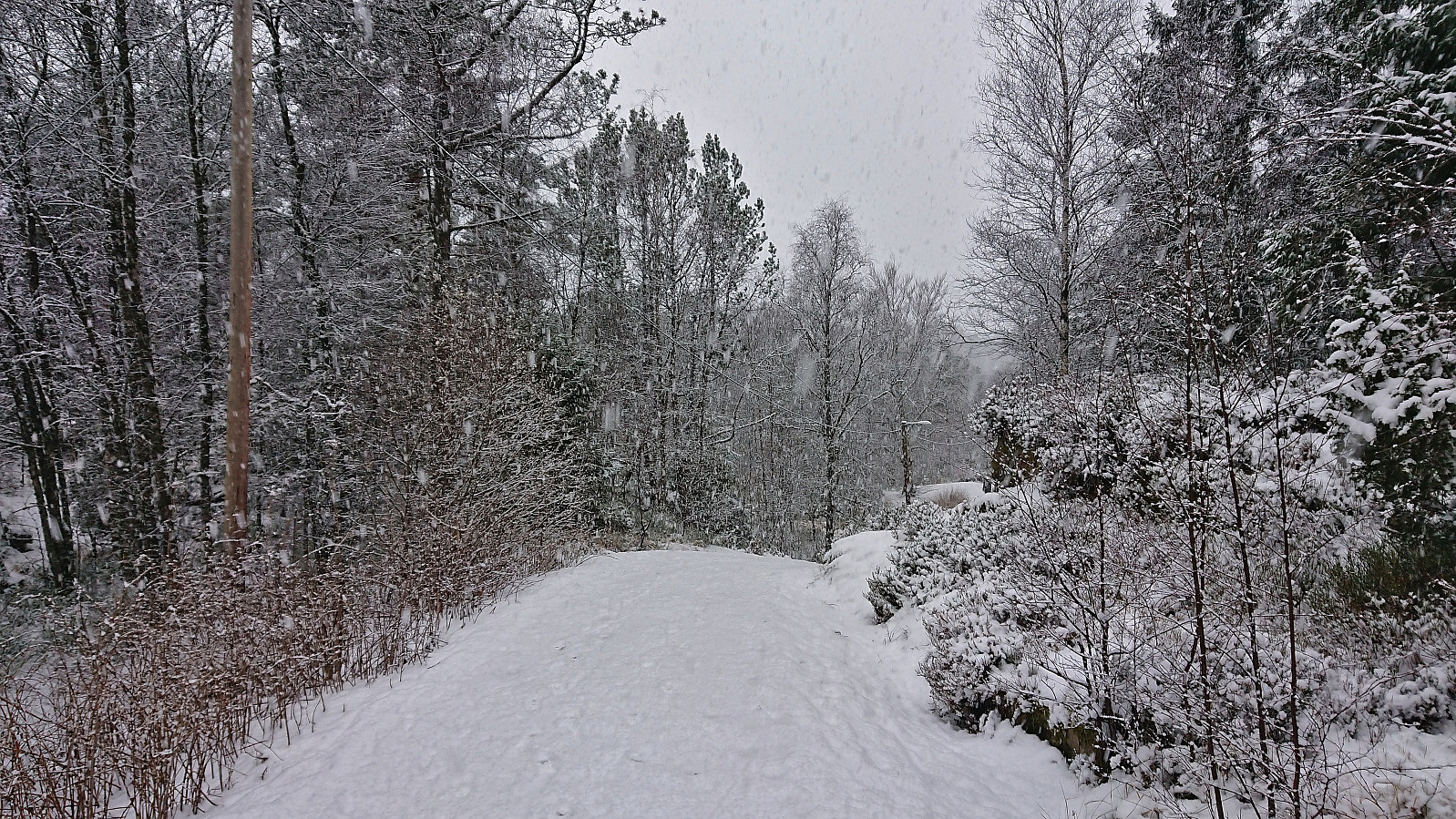 Sunday hike in the snow.
Ørneberget and Hellen festning
- Datum:
- 02.12.2023
- Tourcharakter:
- Bergtour
- Tourlänge:
- 1:13h
- Entfernung:
- 4,4km
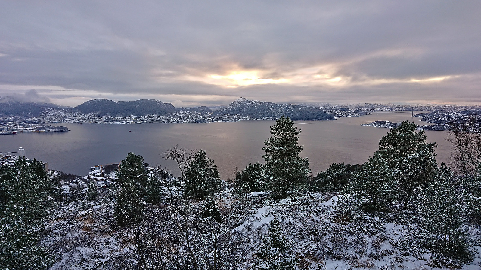 Short local Saturday hike in the snow.
Fagerlifjellet from Gjetingsdalen
- Datum:
- 26.11.2023
- Tourcharakter:
- Bergtour
- Tourlänge:
- 3:30h
- Entfernung:
- 5,6km
 For the second Sunday in a row, Petter and I returned to Jondal. This time our goal was to ascend Fagerlifjellet from Gjetingsdalen. After taking the ferry from Tørvikbygd to Jondal, we therefore continued south to Maurangerfjorden which we then proceeded to follow southwest to Gjetingsdalen. Here we quickly realized that there was a lot more snow than expected, but thankfully just below the amount that would have made it difficult for us to park at the open space close to the planned trailhead.
After parking the car, we walked up the smaller road to Nedre Øyjorda, passed through a gate and continued up to Øvre Øyjorda. So far there had been some fairly recent footprints in the snow. We assumed that these would stop at Øvre Øyjorda, but luckily they continued across a small bridge just to the east and then >>>
For the second Sunday in a row, Petter and I returned to Jondal. This time our goal was to ascend Fagerlifjellet from Gjetingsdalen. After taking the ferry from Tørvikbygd to Jondal, we therefore continued south to Maurangerfjorden which we then proceeded to follow southwest to Gjetingsdalen. Here we quickly realized that there was a lot more snow than expected, but thankfully just below the amount that would have made it difficult for us to park at the open space close to the planned trailhead.
After parking the car, we walked up the smaller road to Nedre Øyjorda, passed through a gate and continued up to Øvre Øyjorda. So far there had been some fairly recent footprints in the snow. We assumed that these would stop at Øvre Øyjorda, but luckily they continued across a small bridge just to the east and then >>>
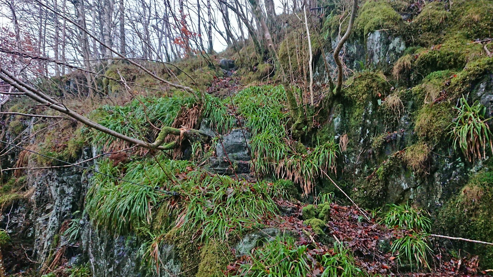
Across Hellen festning
- Datum:
- 25.11.2023
- Tourcharakter:
- Wanderung
- Tourlänge:
- 0:49h
- Entfernung:
- 3,7km
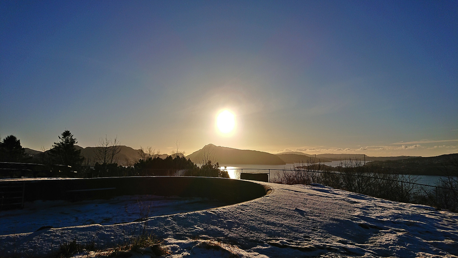 Short local Saturday hike across an icy Hellen festning.
