Archiv - Nach Datum
Archiv - Nach Aktivität
-
Andere Tour (3)
- Kayaking (3)
-
Fahrradtour (111)
- Fahrradtour Straße (86)
- Fahrradtour gemischt (25)
-
Fahrzeugtour (9)
- Autotour (9)
-
Fußtour (1897)
- Bergtour (1120)
- Jogging (1)
- Spaziergang (60)
- Wanderung (716)
-
Skitour (116)
- Langlauf (47)
- Tourenskilauf (69)
Gesammelte Listen
-
Utvalgte topper og turmål i Bergen
(349/351)
 99%
99% -
Alle topper i Bergen
(393/400)
98%
-
Voss ≥ 100m pf.
(96/98)
97%
-
Opptur Hordaland
(144/159)
90%
-
Stasjoner på Bergensbanen
(33/40)
82%
-
Ulvik ≥ 100m pf.
(30/38)
78%
-
Hordaland ≥ 100m pf.
(624/863)
72%
-
Mjølfjell PF > 100m
(21/31)
67%
-
Jondal ≥ 100m pf.
(15/23)
65%
-
Dagsturhyttene i Vestland
(36/61)
59%
-
Sunnhordland PF >= 100m
(105/186)
56%
-
Hordaland: Hardanger PF>=100m
(196/359)
54%
-
DNT-hytter i Hordaland
(23/45)
51%
-
Kvinnherad ≥ 100m pf.
(40/79)
50%
-
Eidfjord ≥ 100m pf.
(13/42)
30%
-
Sogndal ≥ 100m pf.
(23/81)
28%
-
Gulen ≥ 100m pf.
(15/54)
27%
-
Vik i Sogn ≥ 100m pf.
(10/46)
21%
-
Sogn - Sør for Sognefjorden PF>=100m
(31/159)
19%
-
DNT-hytter i Sogn og Fjordane
(8/47)
17%

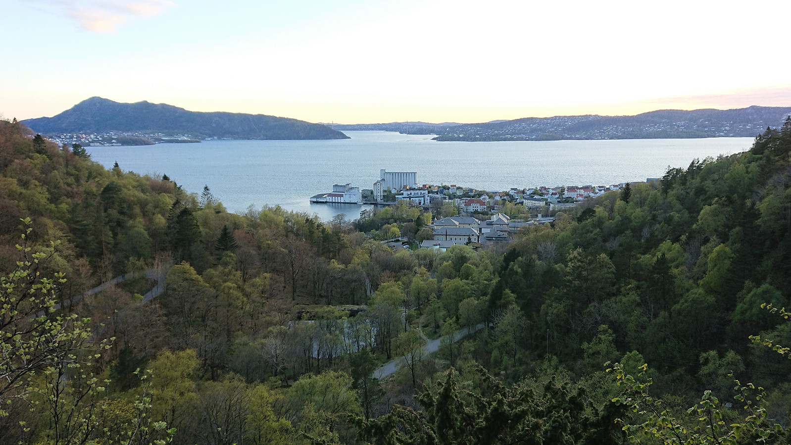
Cycling: Salhus Roundtrip
- Datum:
- 30.04.2022
- Tourcharakter:
- Fahrradtour Straße
- Tourlänge:
- 2:33h
- Entfernung:
- 37,9km
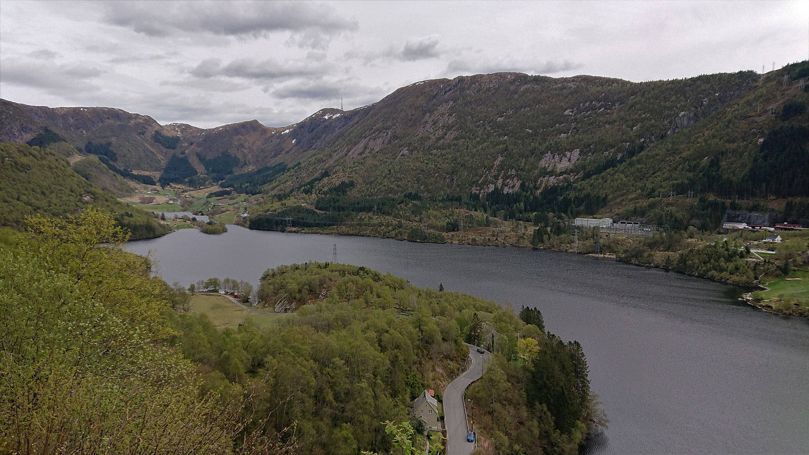 The usual cycling trip around Salhus with a minor detour to the top of Stallkleiven.
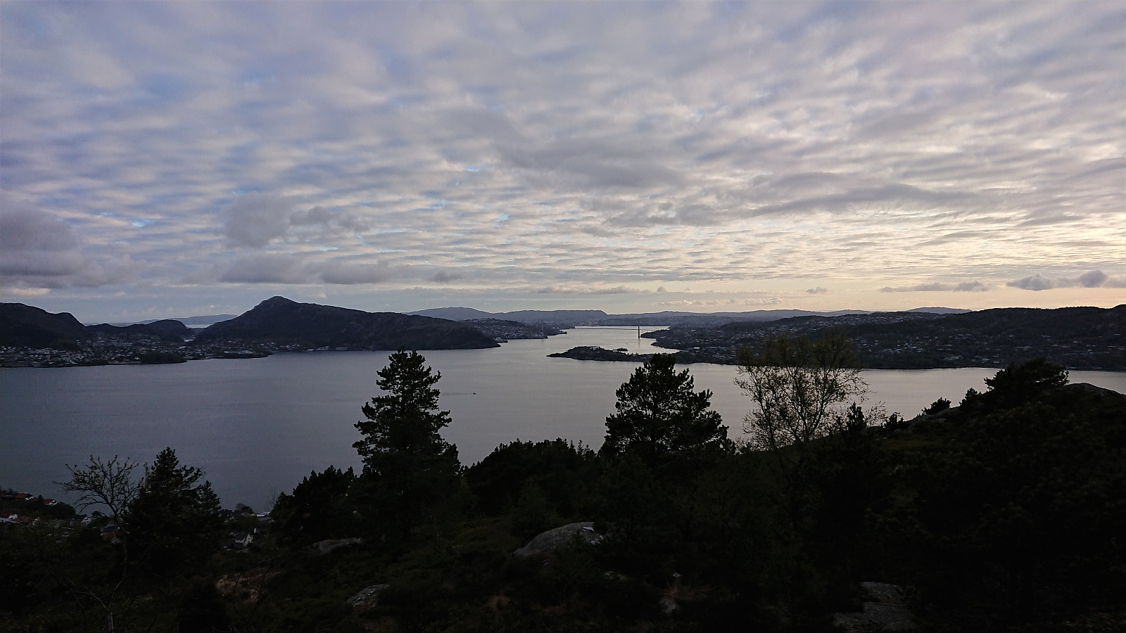
Håmanen from Sandviken sykehus
- Datum:
- 29.04.2022
- Tourcharakter:
- Bergtour
- Tourlänge:
- 1:11h
- Entfernung:
- 6,1km
 Short local evening hike.
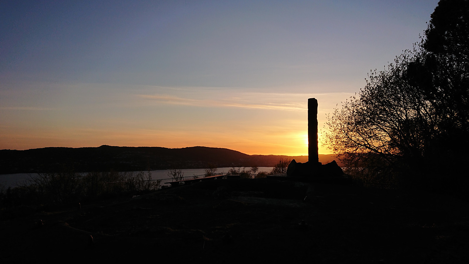
Ørneberget and Hellen festning
- Datum:
- 28.04.2022
- Tourcharakter:
- Bergtour
- Tourlänge:
- 1:03h
- Entfernung:
- 4,6km
 Short local evening hike.
Across Hellen festning
- Datum:
- 26.04.2022
- Tourcharakter:
- Wanderung
- Tourlänge:
- 0:37h
- Entfernung:
- 3,1km
 Short local evening hike before sunset.
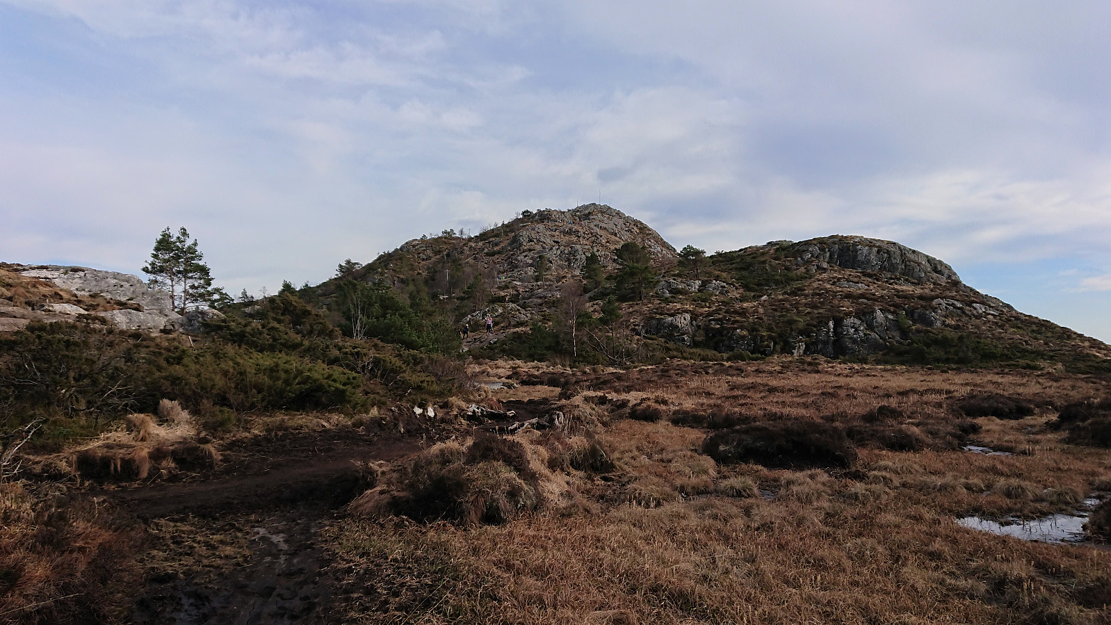
Five summits west and one east of Norddalen
- Datum:
- 24.04.2022
- Tourcharakter:
- Tourenskilauf
- Tourlänge:
- 8:12h
- Entfernung:
- 28,8km
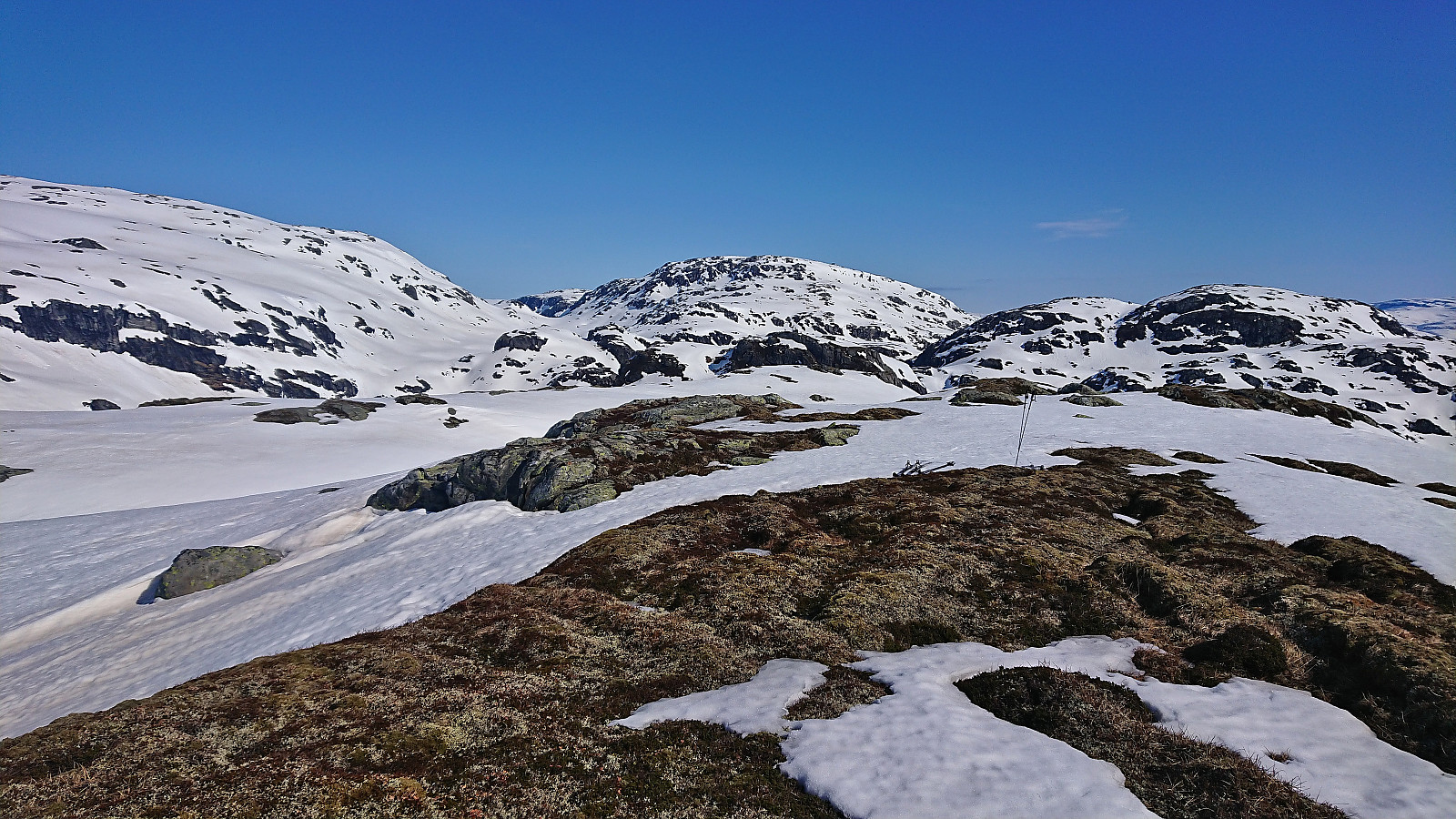 After spending Saturday at Varaldsøy with petter (Petter Bjørstad) , we agreed to also take full advantage of the perfect weather forecast for the following Sunday. Petter therefore picked me up at 07:00 for a drive to Norddalen where the plan was to make use of the excellent skiing conditions to visit as many peaks as possible, mainly on the west side of the valley. Upon arriving, the sun was shining from a cloudless blue sky and there was next to no wind. Plenty of snow still in the area and after finding parking next to the road, the skis could be put on as soon as we left the road.
We first followed the valley on the west side of the river, before finding a safe and straightforward ascent to the summit of Eggane . From there we struggled a bit to find the best route down to Martastølen, as there were a couple of steep >>>
After spending Saturday at Varaldsøy with petter (Petter Bjørstad) , we agreed to also take full advantage of the perfect weather forecast for the following Sunday. Petter therefore picked me up at 07:00 for a drive to Norddalen where the plan was to make use of the excellent skiing conditions to visit as many peaks as possible, mainly on the west side of the valley. Upon arriving, the sun was shining from a cloudless blue sky and there was next to no wind. Plenty of snow still in the area and after finding parking next to the road, the skis could be put on as soon as we left the road.
We first followed the valley on the west side of the river, before finding a safe and straightforward ascent to the summit of Eggane . From there we struggled a bit to find the best route down to Martastølen, as there were a couple of steep >>>
Øyefjellet/Varden from Øvsthus
- Datum:
- 23.04.2022
- Tourcharakter:
- Bergtour
- Tourlänge:
- 1:42h
- Entfernung:
- 7,3km
 After visiting Veten and Sandvikehorga and Bygdaåsen , we still had around two hours until the planned ferry back to Gjermundshamn, which should be more than enough for me to also make a quick visit to Øyefjellet/Varden . Given that petter (Petter Bjørstad) had already visited Øyefjellet more than 15 years ago, he simply dropped me off at the trailhead at Øvsthus. The marked trail was easy to follow and I initially made good progress towards the summit. Soon I would however get to areas that were first wet and muddy and later also covered by increasing amounts of snow, at times even making it difficult to spot the trail markers. This of course greatly reduced my speed and I constantly had to keep an eye on my watch in order to make sure that I had enough time to both get to the summit and back down again in time for the ferry. In the end, I finally reached the summit >>>
Bygdaåsen
- Datum:
- 23.04.2022
- Tourcharakter:
- Bergtour
- Tourlänge:
- 0:50h
- Entfernung:
- 1,9km
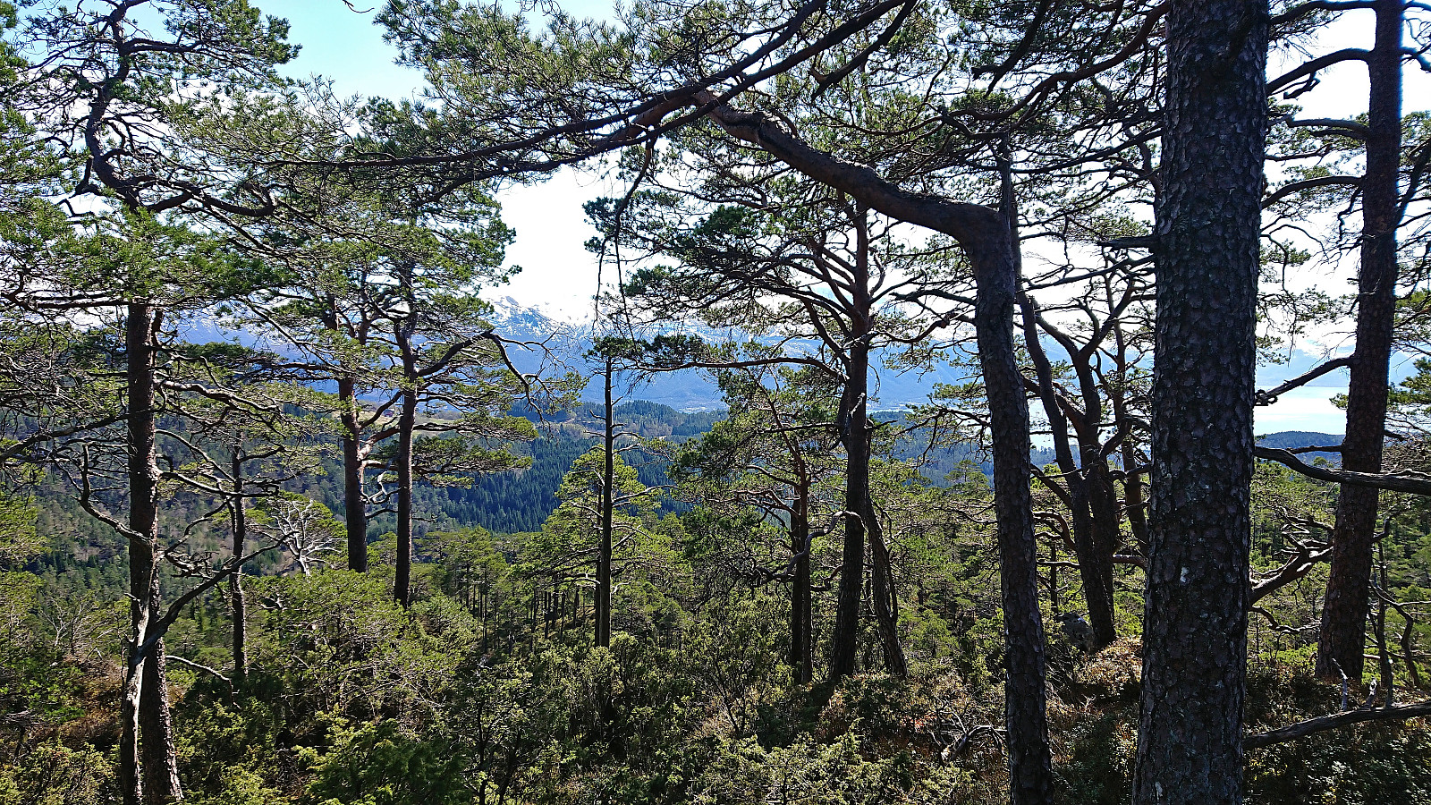 After our hike to Veten and Sandvikehorga , petter (Petter Bjørstad) and I drove the short distance to Glebakka where we were the only car at the large parking lot . There was a hiking information sign next to the parking lot, but it only indicated a trip to Barlinda, which is apparently the largest tree of its kind in Northern Europe . We however ignored this suggested route and instead headed off-trail along the ridge to Bygdaåsen in the opposite direction. The terrain was easier to traverse than expected and there were lots of deer tracks showing the way. In order to avoid two surprisingly deep gorges north of the summit, we ended up following the ridge west of the summit before turning southeast for the final ascent. Limited views due to lots of trees and while the summit can be reached without any real issues it is clearly more of an acquired taste and not the kind of peak most hikers will feel much need to >>>
Veten and Sandvikehorga
- Datum:
- 23.04.2022
- Tourcharakter:
- Bergtour
- Tourlänge:
- 2:54h
- Entfernung:
- 5,9km
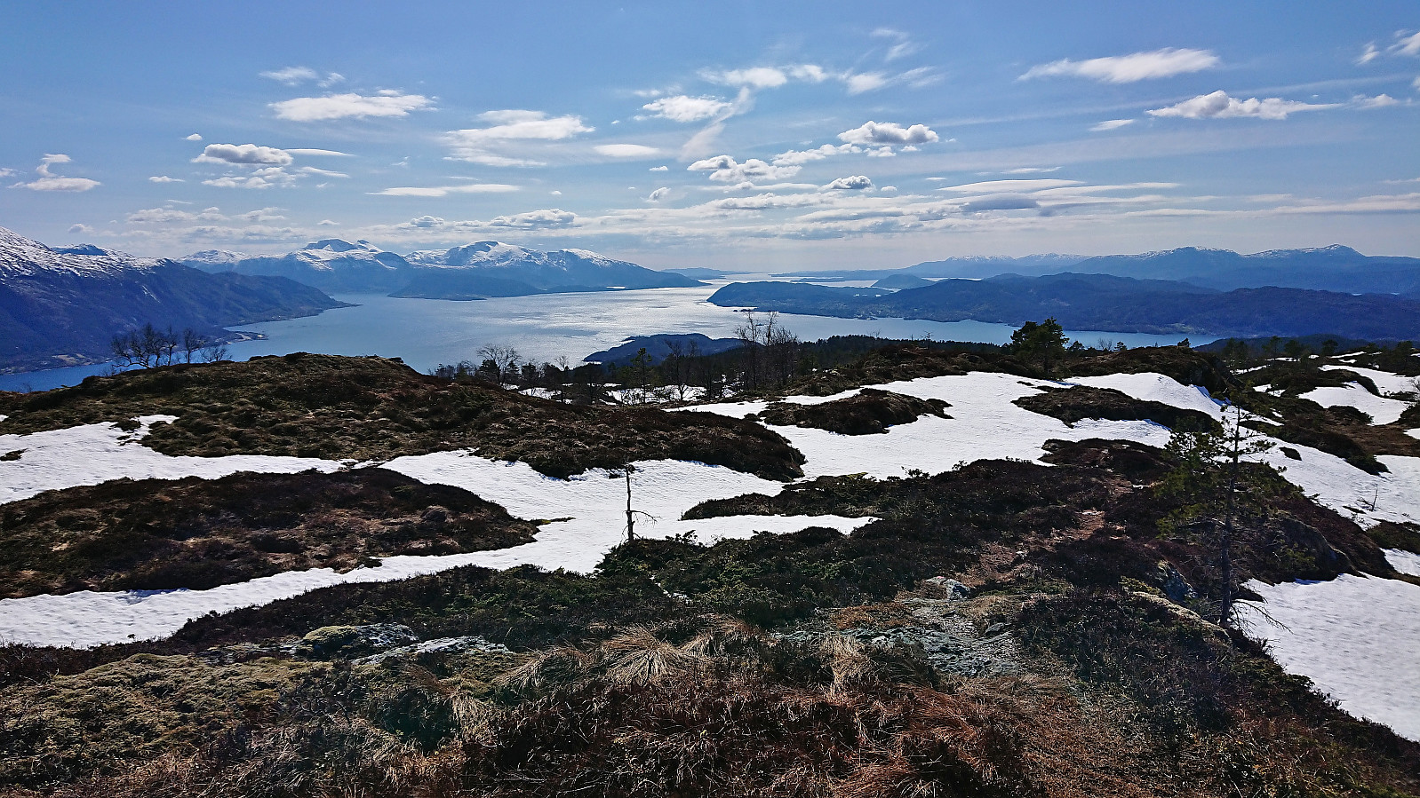
 A visit to Varaldsøy had been on my list for a while. However, it is a bit tricky to get to with public transportation, so when petter (Petter Bjørstad) asked if I was interested in going hiking the upcoming weekend I suggested Varaldsøy as an option, and given that Petter had three summits yet to visit on the island he was quick to agree.
Upon arriving at Varaldsøy, we decided to start with Veten (which for some reason is called Vetan on PB) and Sandvikehorga , and thus drove to the small parking lot at the southern end of Vetla Svartavatnet . Here there was room for a couple of cars next to the gravel road and the marked trailhead was easily located. The very nice trail could be followed all the way to the summit without any real challenges except for the occasional very light scrambling. The summit provided excellent panoramic views only partly reduced by the sun not yet having fully emerged >>>
A visit to Varaldsøy had been on my list for a while. However, it is a bit tricky to get to with public transportation, so when petter (Petter Bjørstad) asked if I was interested in going hiking the upcoming weekend I suggested Varaldsøy as an option, and given that Petter had three summits yet to visit on the island he was quick to agree.
Upon arriving at Varaldsøy, we decided to start with Veten (which for some reason is called Vetan on PB) and Sandvikehorga , and thus drove to the small parking lot at the southern end of Vetla Svartavatnet . Here there was room for a couple of cars next to the gravel road and the marked trailhead was easily located. The very nice trail could be followed all the way to the summit without any real challenges except for the occasional very light scrambling. The summit provided excellent panoramic views only partly reduced by the sun not yet having fully emerged >>>
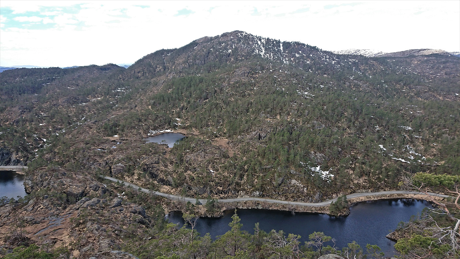
Lyderhorn from Skålevik (to Gravdal)
- Datum:
- 21.04.2022
- Tourcharakter:
- Bergtour
- Tourlänge:
- 3:07h
- Entfernung:
- 8,8km
 Hike to Lyderhorn after work with a couple of colleagues where we started from the parking lot at Skålevik . First along an old winding military road and later along a marked trail. After visiting the summit, I made a detour on my own via Kvarven fort to Gravdal from where I took the bus home.
Fagerdalsskaret and Ørneberget
- Datum:
- 20.04.2022
- Tourcharakter:
- Bergtour
- Tourlänge:
- 0:54h
- Entfernung:
- 3,8km
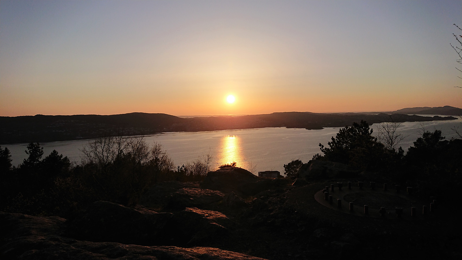 Short local evening hike before sunset.
