Archiv - Nach Datum
Archiv - Nach Aktivität
-
Andere Tour (3)
- Kayaking (3)
-
Fahrradtour (111)
- Fahrradtour Straße (86)
- Fahrradtour gemischt (25)
-
Fahrzeugtour (9)
- Autotour (9)
-
Fußtour (1897)
- Bergtour (1120)
- Jogging (1)
- Spaziergang (60)
- Wanderung (716)
-
Skitour (116)
- Langlauf (47)
- Tourenskilauf (69)
Gesammelte Listen
-
Utvalgte topper og turmål i Bergen
(349/351)
 99%
99% -
Alle topper i Bergen
(393/400)
98%
-
Voss ≥ 100m pf.
(96/98)
97%
-
Opptur Hordaland
(144/159)
90%
-
Stasjoner på Bergensbanen
(33/40)
82%
-
Ulvik ≥ 100m pf.
(30/38)
78%
-
Hordaland ≥ 100m pf.
(624/863)
72%
-
Mjølfjell PF > 100m
(21/31)
67%
-
Jondal ≥ 100m pf.
(15/23)
65%
-
Dagsturhyttene i Vestland
(36/61)
59%
-
Sunnhordland PF >= 100m
(105/186)
56%
-
Hordaland: Hardanger PF>=100m
(196/359)
54%
-
DNT-hytter i Hordaland
(23/45)
51%
-
Kvinnherad ≥ 100m pf.
(40/79)
50%
-
Eidfjord ≥ 100m pf.
(13/42)
30%
-
Sogndal ≥ 100m pf.
(23/81)
28%
-
Gulen ≥ 100m pf.
(15/54)
27%
-
Vik i Sogn ≥ 100m pf.
(10/46)
21%
-
Sogn - Sør for Sognefjorden PF>=100m
(31/159)
19%
-
DNT-hytter i Sogn og Fjordane
(8/47)
17%

Stoltzekleiven and Sandviksfjellet
- Datum:
- 30.03.2022
- Tourcharakter:
- Bergtour
- Tourlänge:
- 1:51h
- Entfernung:
- 8,5km
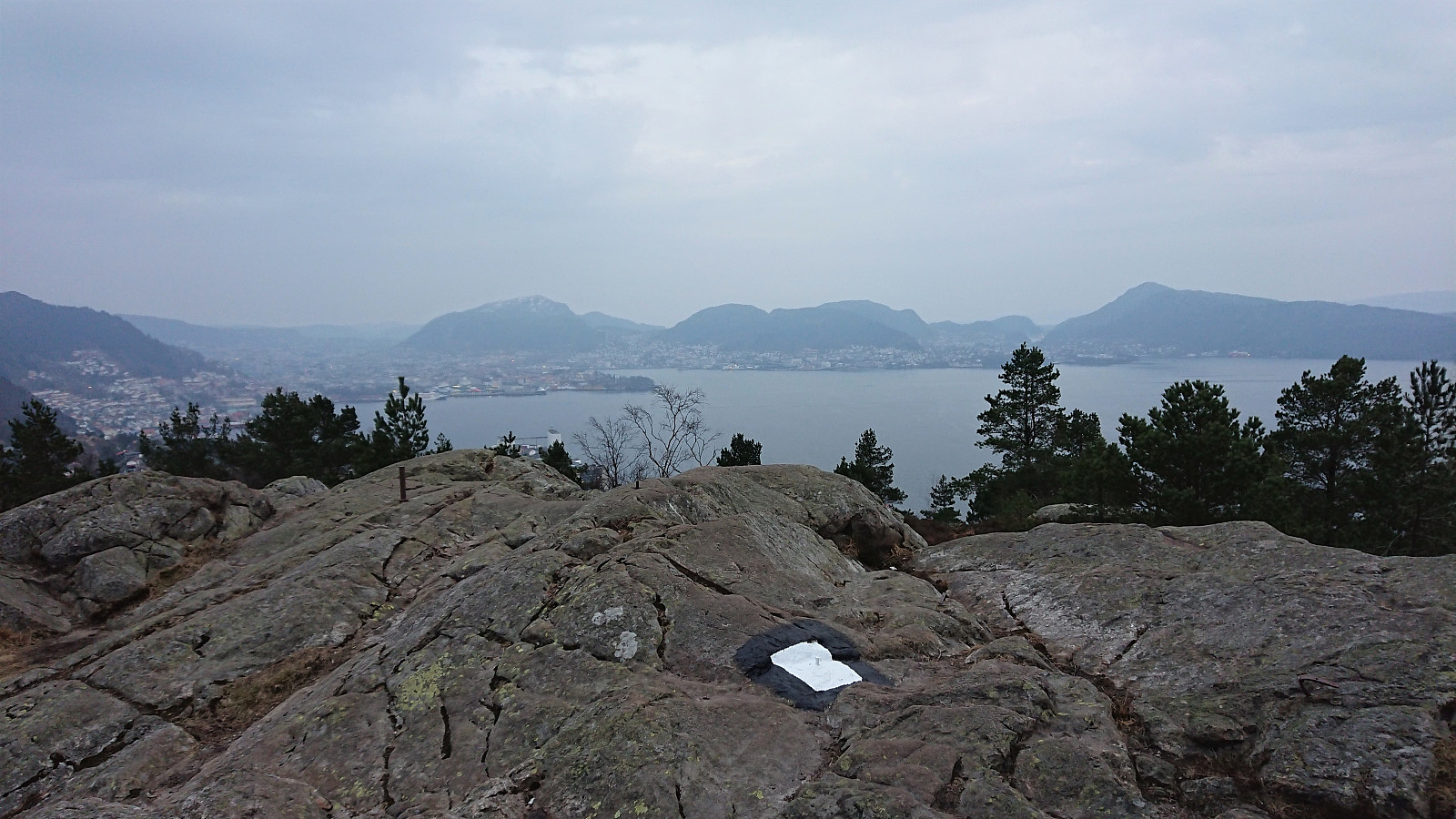
 Local evening hike after work. Took it relatively easy up Stoltzekleiven , making it to the top in 19 minutes 15 seconds.
Håmanen
- Datum:
- 29.03.2022
- Tourcharakter:
- Bergtour
- Tourlänge:
- 1:18h
- Entfernung:
- 6,1km
 Local evening hike after work.
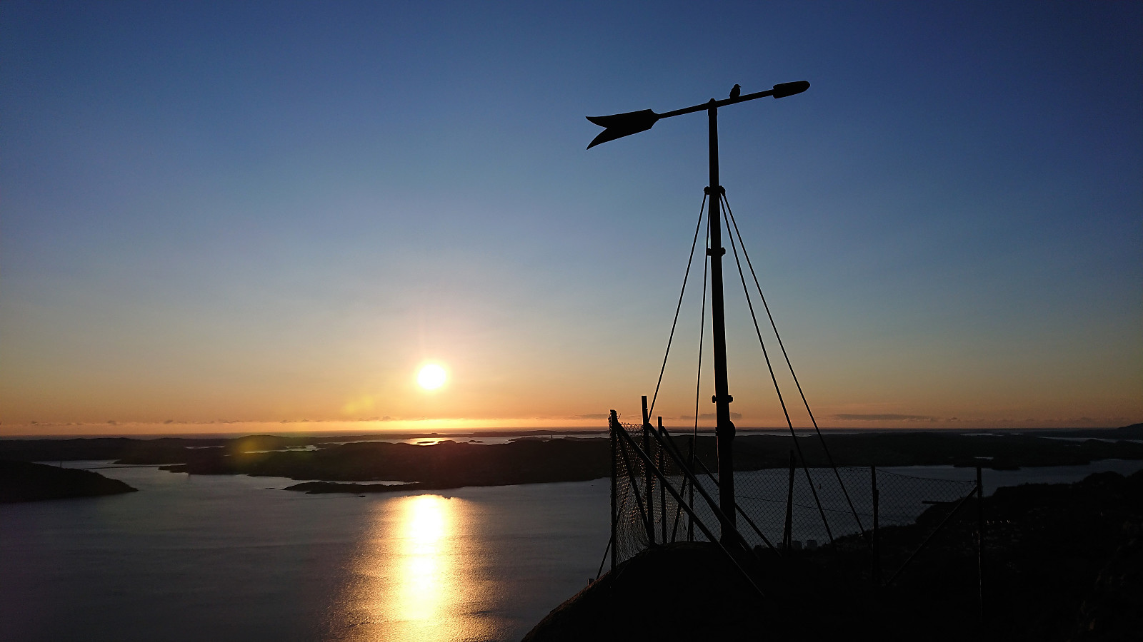
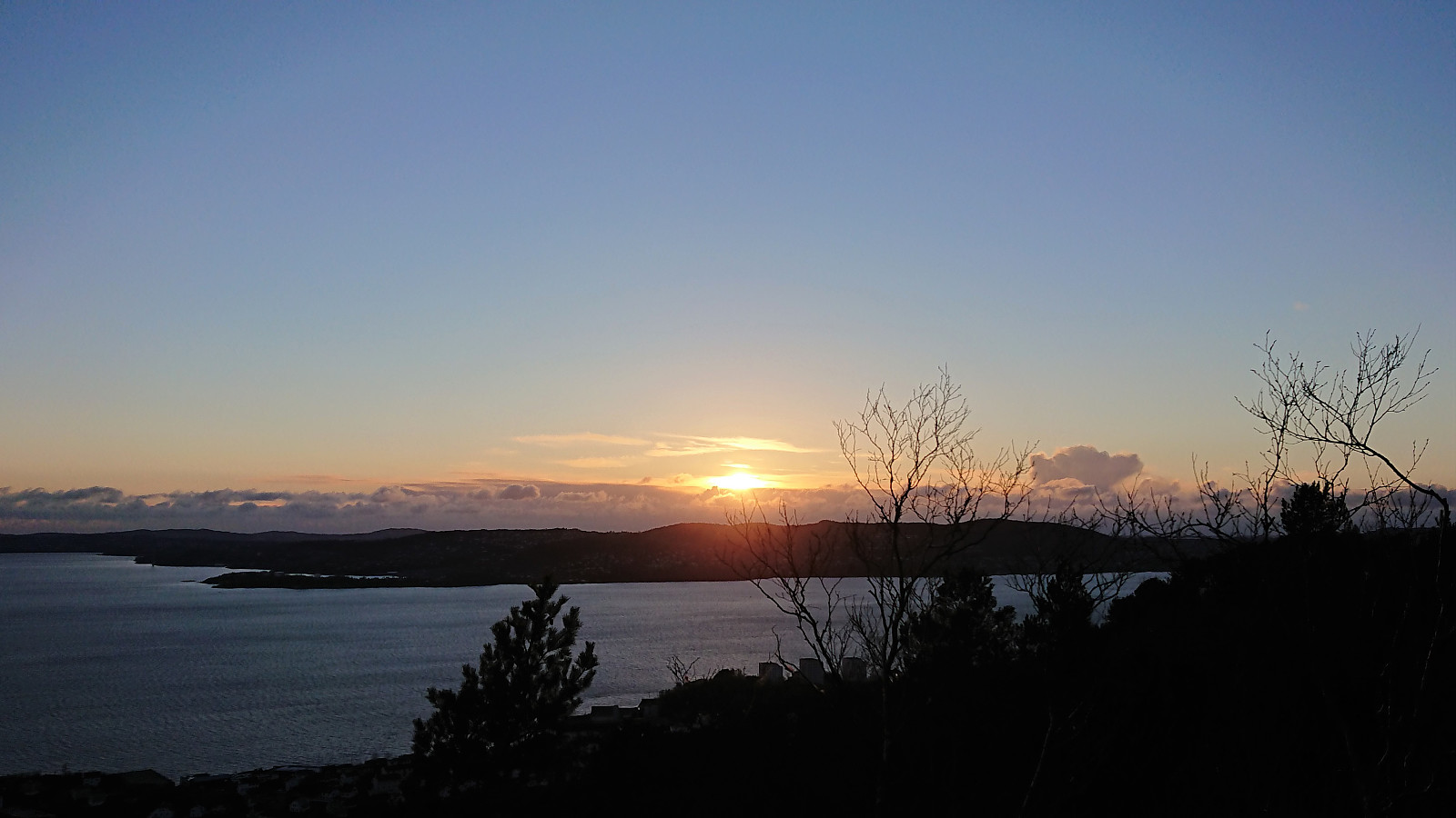
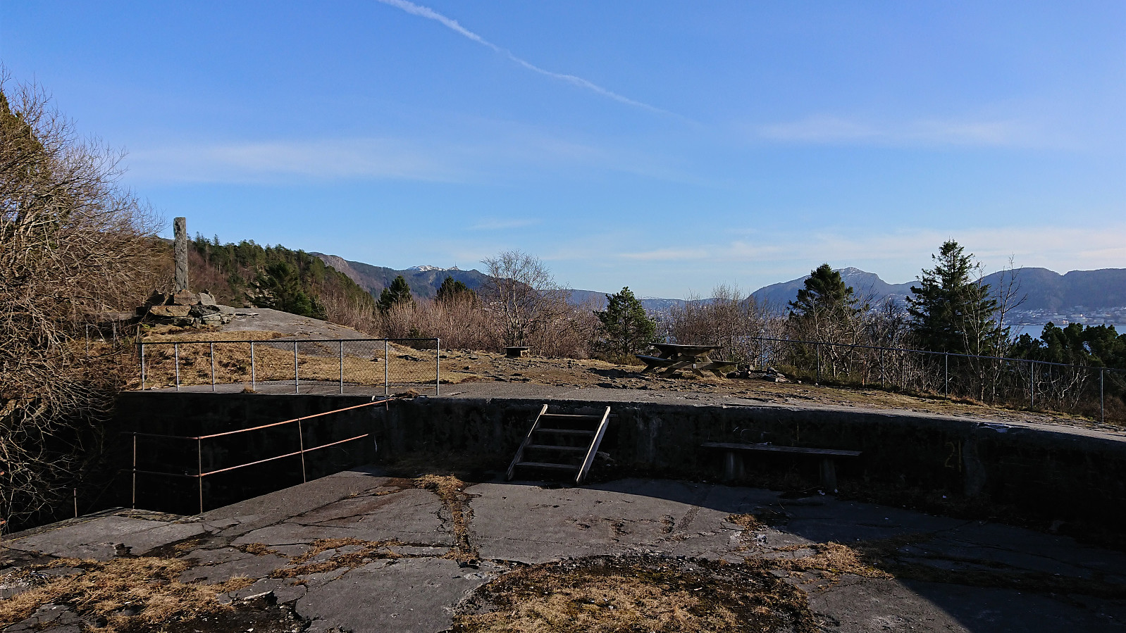
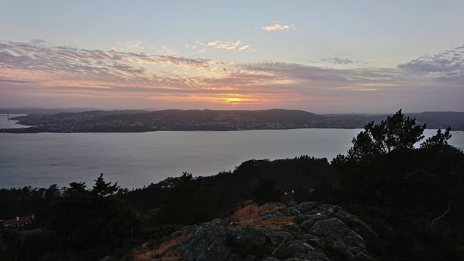
Sandviksbatteriet
- Datum:
- 28.03.2022
- Tourcharakter:
- Wanderung
- Tourlänge:
- 1:23h
- Entfernung:
- 6,4km
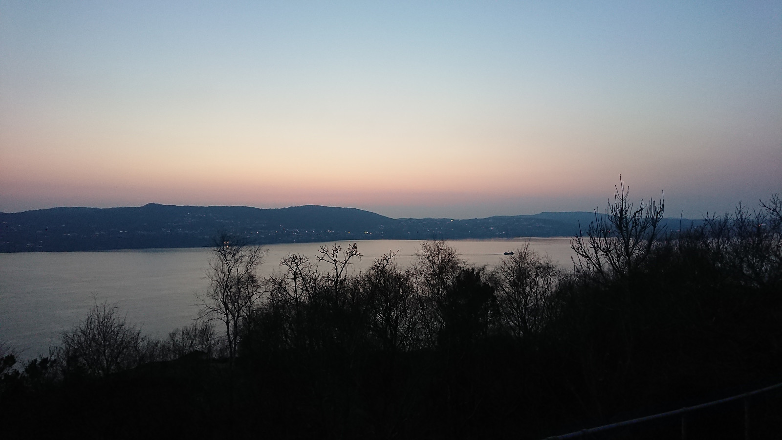
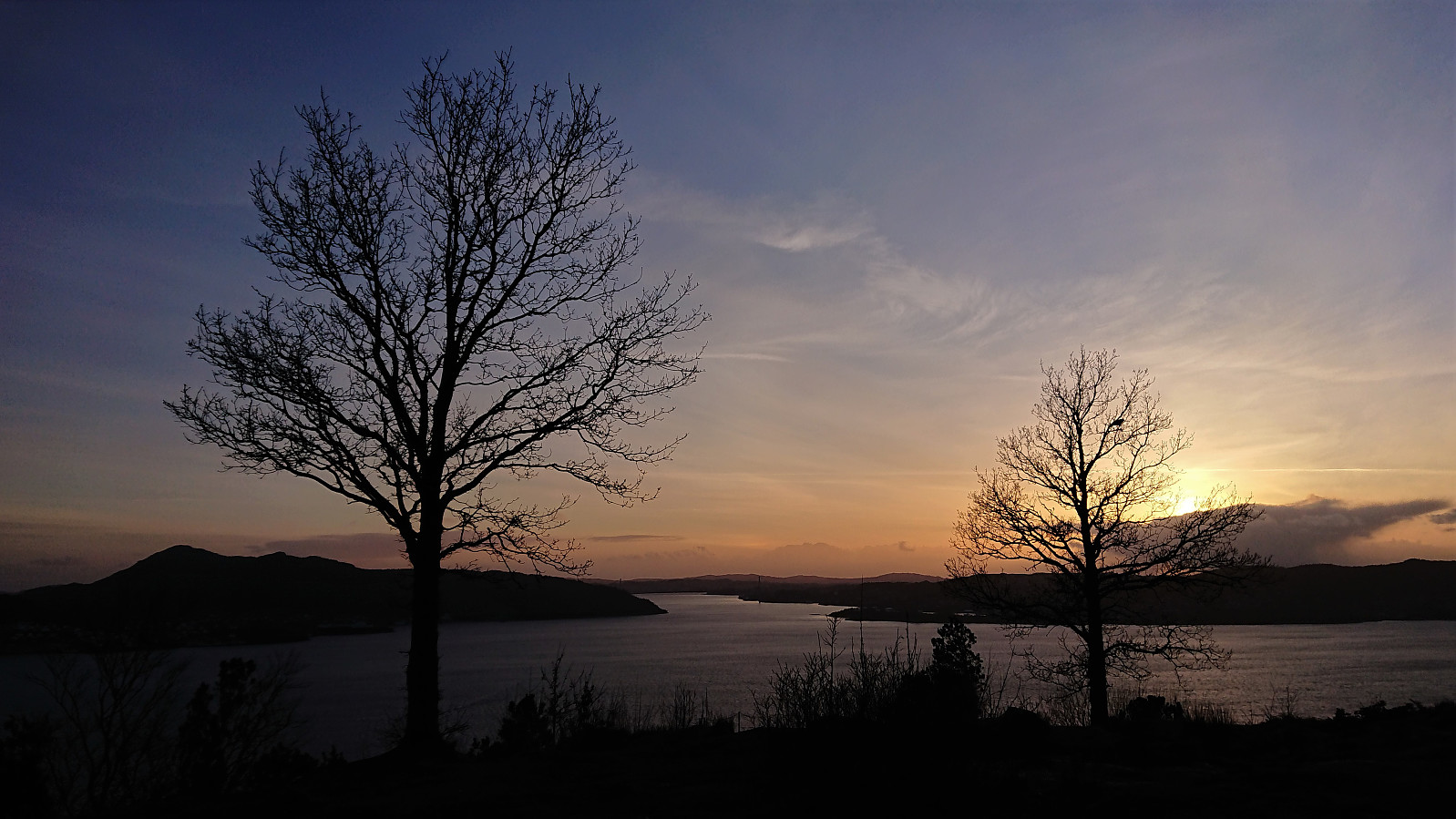 Local evening hike to catch the sunset at Sandviksbatteriet.
Across Hellen festning
- Datum:
- 27.03.2022
- Tourcharakter:
- Wanderung
- Tourlänge:
- 0:39h
- Entfernung:
- 3,2km
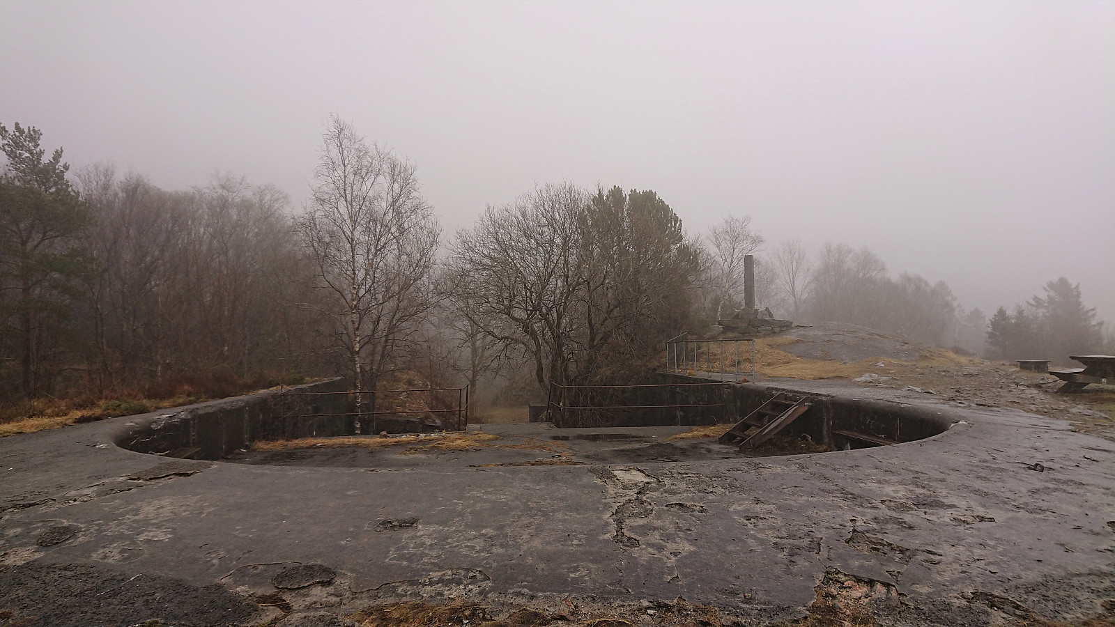 Short local hike on an overall gray Sunday.
Bjørnehaugen from Gjermundshamn
- Datum:
- 26.03.2022
- Tourcharakter:
- Bergtour
- Tourlänge:
- 5:44h
- Entfernung:
- 21,4km
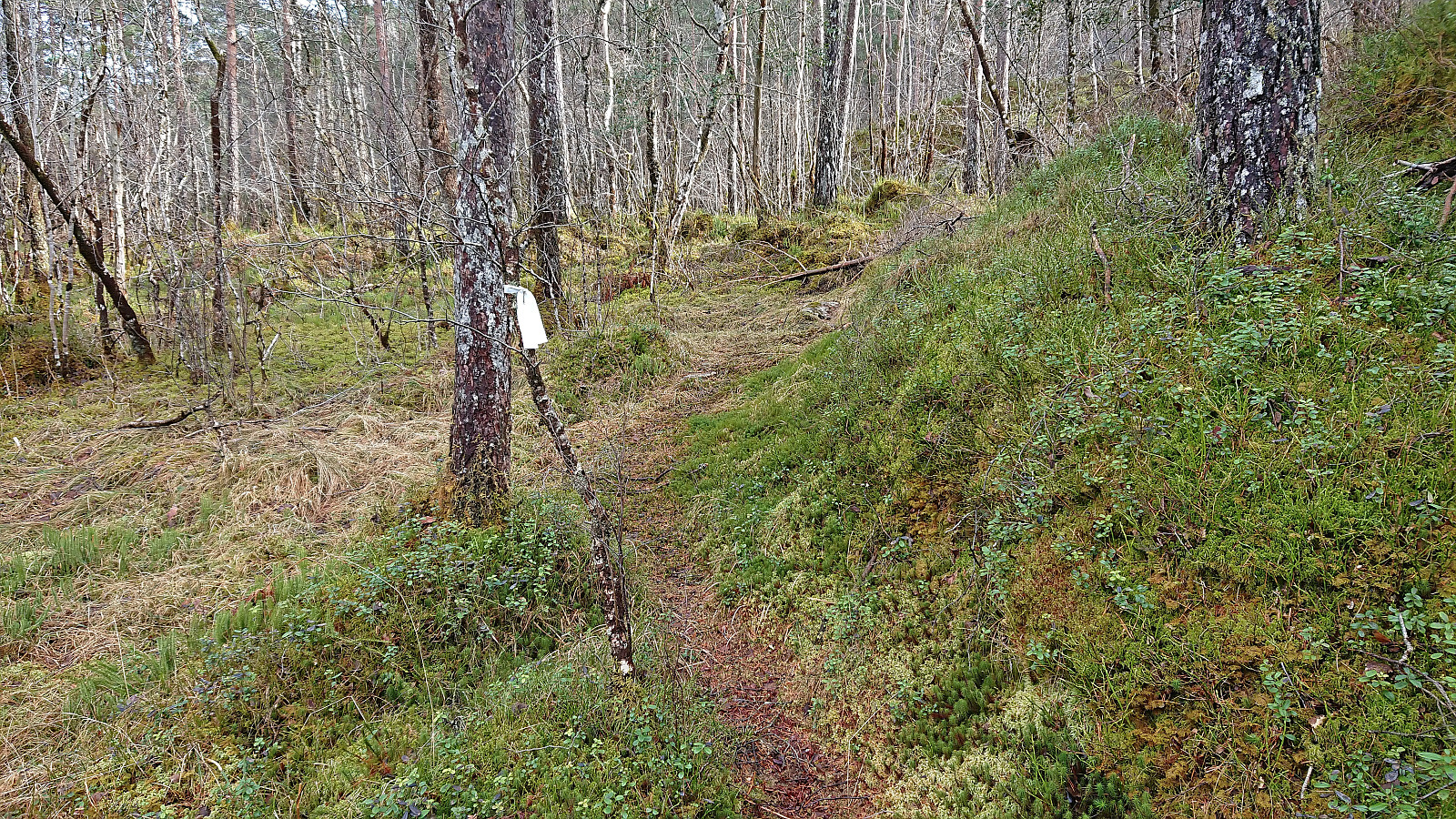 A return to Gjermundshamn for a visit of Bjørnehaugen . Note that on the map the area is referred to as Bjørnehaugen, i.e. one extra 's', while the summit is named Bjørnahaugen, but for simplicity I will stick with name used on PB.
As usual when visiting a remote minor summit with limited views, I made it into a longer trip to make it slightly more interesting. In this particular case this was only partly voluntary, as the only way for me to get anywhere close to Bjørnehaugen (without needing a car) was to first take the bus to Gjermundshamn and then start my hike from there. And while this initial walk along the road may seem boring, the limited traffic and the excellent views towards the snow-capped mountains across the fjord made for a rather enjoyable start to the trip.
Shortly after passing Tveitane, >>>
A return to Gjermundshamn for a visit of Bjørnehaugen . Note that on the map the area is referred to as Bjørnehaugen, i.e. one extra 's', while the summit is named Bjørnahaugen, but for simplicity I will stick with name used on PB.
As usual when visiting a remote minor summit with limited views, I made it into a longer trip to make it slightly more interesting. In this particular case this was only partly voluntary, as the only way for me to get anywhere close to Bjørnehaugen (without needing a car) was to first take the bus to Gjermundshamn and then start my hike from there. And while this initial walk along the road may seem boring, the limited traffic and the excellent views towards the snow-capped mountains across the fjord made for a rather enjoyable start to the trip.
Shortly after passing Tveitane, >>>
Ørneberget and Furukammen
- Datum:
- 23.03.2022
- Tourcharakter:
- Bergtour
- Tourlänge:
- 0:52h
- Entfernung:
- 4,0km
 Short local hike after work.
Hellen festning and Furukammen
- Datum:
- 22.03.2022
- Tourcharakter:
- Wanderung
- Tourlänge:
- 0:54h
- Entfernung:
- 3,5km
 Short local hike after work.
Vardafjellet, Bjørnafjellet and Storanosi
- Datum:
- 20.03.2022
- Tourcharakter:
- Tourenskilauf
- Tourlänge:
- 5:23h
- Entfernung:
- 21,5km
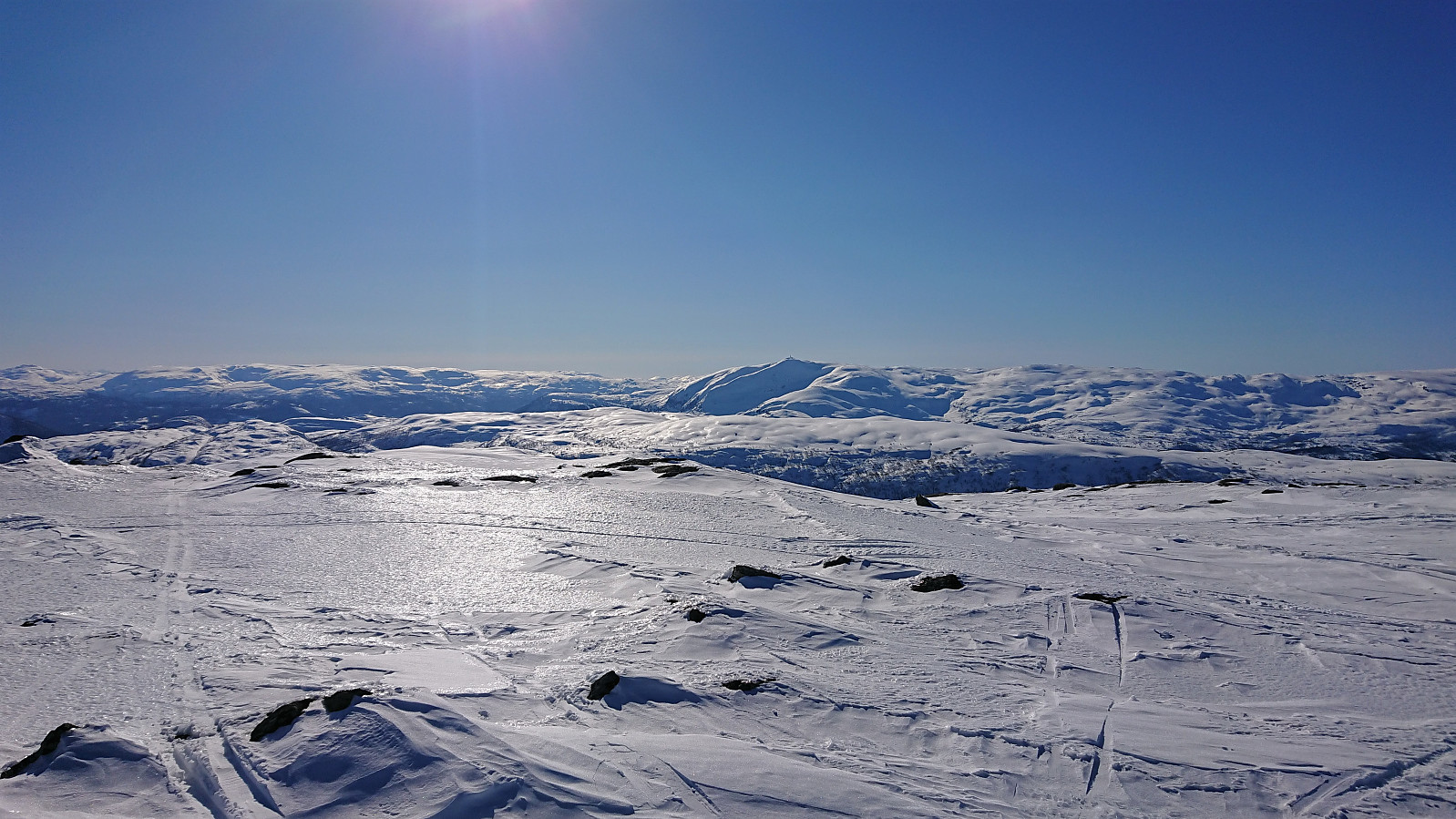 Skiing trip organized by The Norwegian Trekking Association (DNT) , or more specifically Voss Utferdslag , with bus transportation from Voss to the parking lot in Brandset and later back to Voss from Ospehaugen p-plass . We started out in excellent sunny weather that was bordering on too warm, but as we ascended towards Vardafjellet the wind started to pick up, so much that we had to delay the lunch break.
Initially we were going to pass just north of the summit of Vardafjellet, but after asking nicely, I was allowed to shortly leave the group for a short detour on my own to visit the summit. I quickly returned to the group and we descended to Prinsabotnskaret for a late lunch break in shelter of the strongest wind. Just as we got ready for the ascent to Bjørnafjellet , one of the participants lost her sit pad to the wind and we saw it tumbling over the ridge to the north and disappearing.
After a visit of the summit of >>>
Skiing trip organized by The Norwegian Trekking Association (DNT) , or more specifically Voss Utferdslag , with bus transportation from Voss to the parking lot in Brandset and later back to Voss from Ospehaugen p-plass . We started out in excellent sunny weather that was bordering on too warm, but as we ascended towards Vardafjellet the wind started to pick up, so much that we had to delay the lunch break.
Initially we were going to pass just north of the summit of Vardafjellet, but after asking nicely, I was allowed to shortly leave the group for a short detour on my own to visit the summit. I quickly returned to the group and we descended to Prinsabotnskaret for a late lunch break in shelter of the strongest wind. Just as we got ready for the ascent to Bjørnafjellet , one of the participants lost her sit pad to the wind and we saw it tumbling over the ridge to the north and disappearing.
After a visit of the summit of >>>
Hellen festning and Furukammen
- Datum:
- 19.03.2022
- Tourcharakter:
- Wanderung
- Tourlänge:
- 3:27h
- Entfernung:
- 5,6km
 Short local Saturday hike in the sun.
Ørneberget and Hellen festning
- Datum:
- 18.03.2022
- Tourcharakter:
- Bergtour
- Tourlänge:
- 0:58h
- Entfernung:
- 4,2km
 Short local hike after work.
