Archiv - Nach Datum
Archiv - Nach Aktivität
-
Andere Tour (3)
- Kayaking (3)
-
Fahrradtour (111)
- Fahrradtour Straße (86)
- Fahrradtour gemischt (25)
-
Fahrzeugtour (9)
- Autotour (9)
-
Fußtour (1897)
- Bergtour (1120)
- Jogging (1)
- Spaziergang (60)
- Wanderung (716)
-
Skitour (116)
- Langlauf (47)
- Tourenskilauf (69)
Gesammelte Listen
-
Utvalgte topper og turmål i Bergen
(349/351)
 99%
99% -
Alle topper i Bergen
(393/400)
98%
-
Voss ≥ 100m pf.
(96/98)
97%
-
Opptur Hordaland
(144/159)
90%
-
Stasjoner på Bergensbanen
(33/40)
82%
-
Ulvik ≥ 100m pf.
(30/38)
78%
-
Hordaland ≥ 100m pf.
(624/863)
72%
-
Mjølfjell PF > 100m
(21/31)
67%
-
Jondal ≥ 100m pf.
(15/23)
65%
-
Dagsturhyttene i Vestland
(36/61)
59%
-
Sunnhordland PF >= 100m
(105/186)
56%
-
Hordaland: Hardanger PF>=100m
(196/359)
54%
-
DNT-hytter i Hordaland
(23/45)
51%
-
Kvinnherad ≥ 100m pf.
(40/79)
50%
-
Eidfjord ≥ 100m pf.
(13/42)
30%
-
Sogndal ≥ 100m pf.
(23/81)
28%
-
Gulen ≥ 100m pf.
(15/54)
27%
-
Vik i Sogn ≥ 100m pf.
(10/46)
21%
-
Sogn - Sør for Sognefjorden PF>=100m
(31/159)
19%
-
DNT-hytter i Sogn og Fjordane
(8/47)
17%

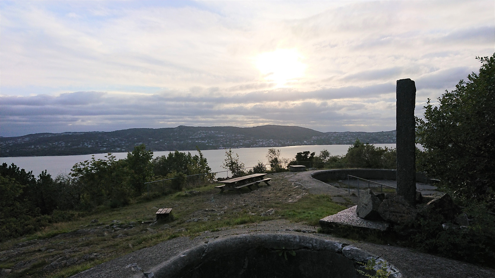
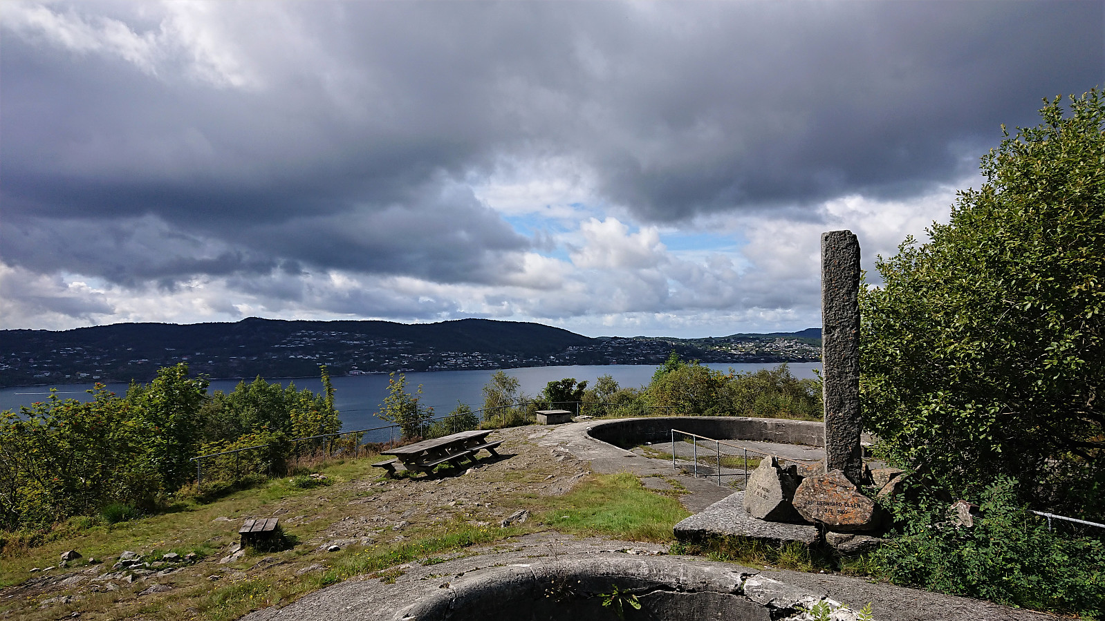
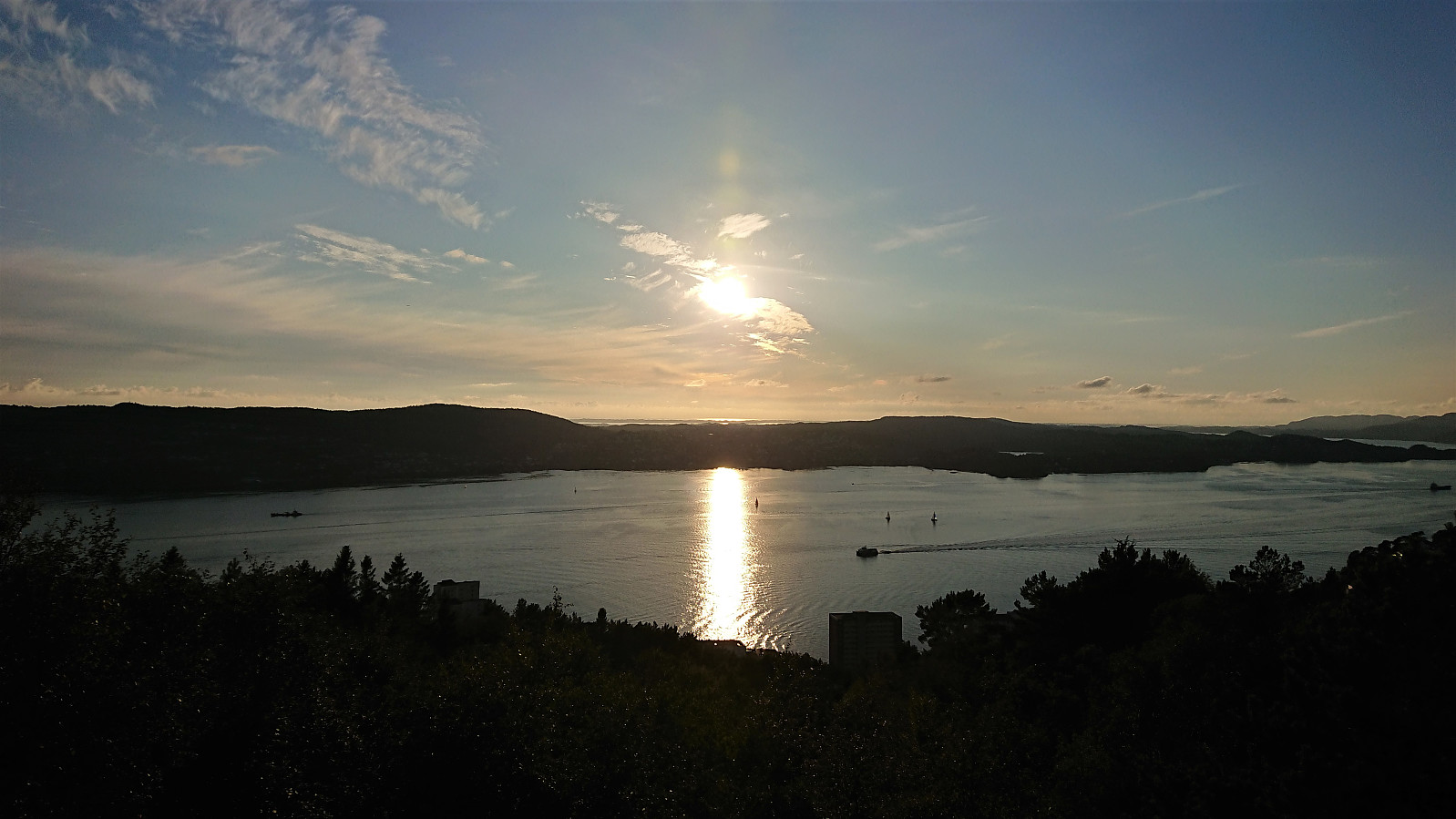
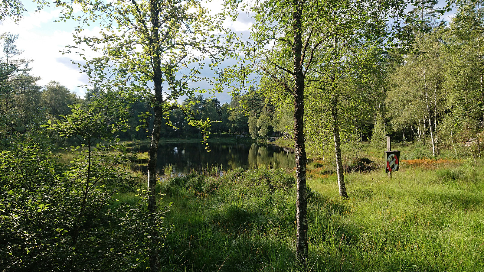
Across Hellen festning
- Datum:
- 17.08.2021
- Tourcharakter:
- Wanderung
- Tourlänge:
- 0:43h
- Entfernung:
- 3,7km
 Short local evening hike.
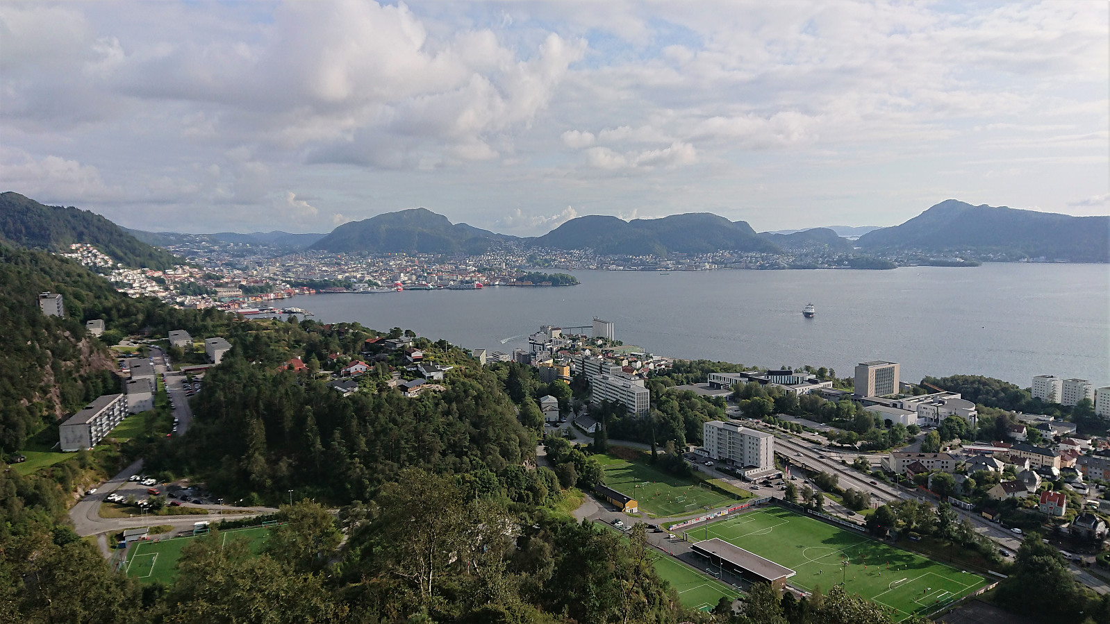
Ørneberget, Rognåsen and Emanuel Mohns utsikt
- Datum:
- 16.08.2021
- Tourcharakter:
- Bergtour
- Tourlänge:
- 2:55h
- Entfernung:
- 12,1km
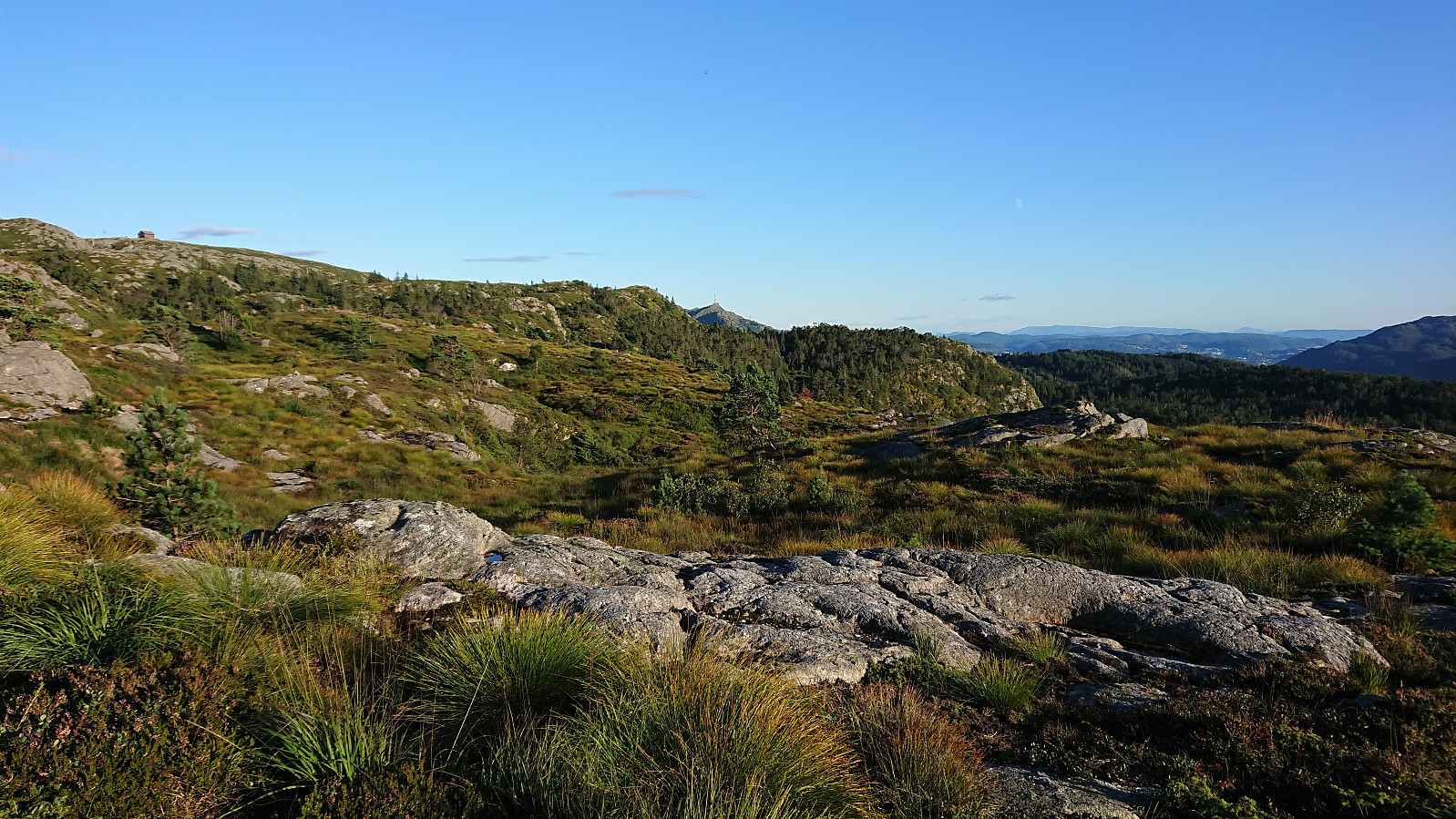 Local evening hike after work.
Hellemyrstien and Ørneberget NV
- Datum:
- 15.08.2021
- Tourcharakter:
- Wanderung
- Tourlänge:
- 1:26h
- Entfernung:
- 7,1km
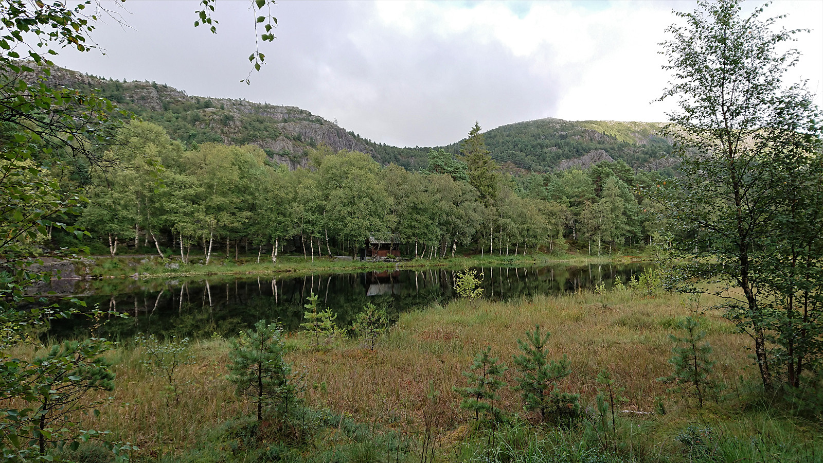 Local evening hike when it finally stopped raining.
Across Hellen festning
- Datum:
- 14.08.2021
- Tourcharakter:
- Wanderung
- Tourlänge:
- 0:38h
- Entfernung:
- 3,2km
 Short local hike trying to get back on track after three days of flu-like symptoms and low energy after getting my second dose of the COVID-19 vaccine.
Hellemyrstien and Ørneberget NV
- Datum:
- 11.08.2021
- Tourcharakter:
- Wanderung
- Tourlänge:
- 1:20h
- Entfernung:
- 6,8km
 Local evening hike.
Fagerdalsskaret, Ørneberget and Rognåsen
- Datum:
- 10.08.2021
- Tourcharakter:
- Bergtour
- Tourlänge:
- 1:35h
- Entfernung:
- 6,0km
 Local hike after work.
Lønahorgi from Hangurstoppen
- Datum:
- 08.08.2021
- Tourcharakter:
- Bergtour
- Tourlänge:
- 6:10h
- Entfernung:
- 21,9km
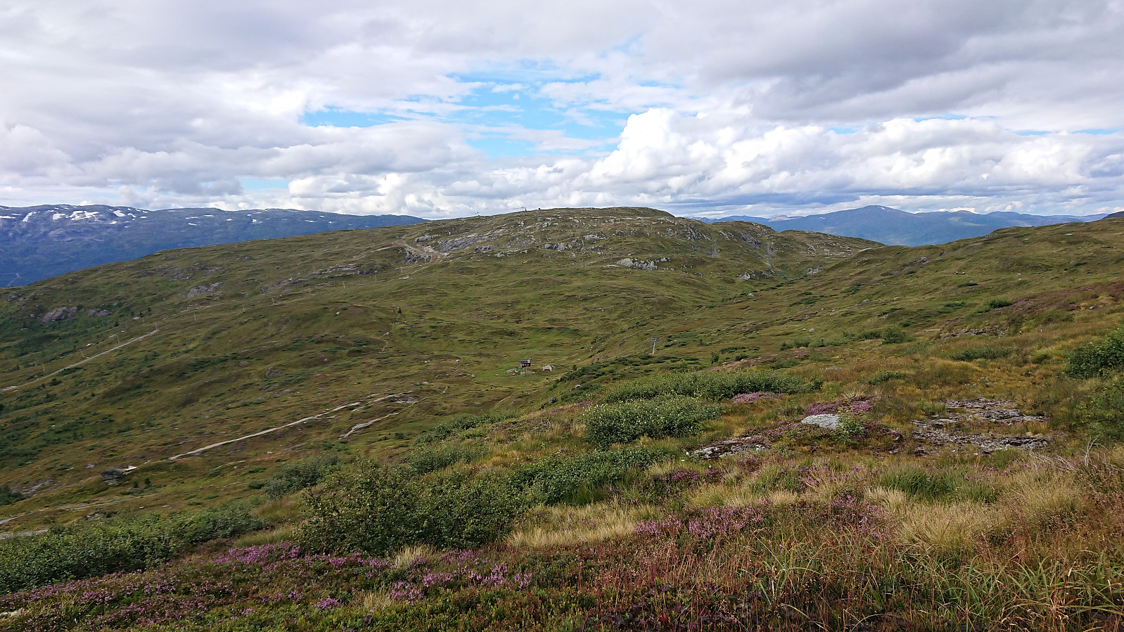 A visit of Lønahorgi had been on my agenda for a while. So I decided to make the most out of my last day of summer vacation and hopped on an early morning train to Voss. Here I decided on "cheating" by taking the cable car (see Voss Gondol ) to the top of Hangur , and thus for once started a hike with descending from the first minor peak of the hike. In fact, this was so unusual that I almost missed the sign for the trail to Lønahorgi, as it does a minor detour via Valbergstjørni and eastern side of Slettafjellet . The advantage compared to the more direct route via Trodalstølen is that one pretty much stays at the same altitude.
The trail was marked with red T's and easy to follow, and I quickly connected with the tractor road coming up from Trodalstølen. From here on the trail partly followed the road and partly made >>>
A visit of Lønahorgi had been on my agenda for a while. So I decided to make the most out of my last day of summer vacation and hopped on an early morning train to Voss. Here I decided on "cheating" by taking the cable car (see Voss Gondol ) to the top of Hangur , and thus for once started a hike with descending from the first minor peak of the hike. In fact, this was so unusual that I almost missed the sign for the trail to Lønahorgi, as it does a minor detour via Valbergstjørni and eastern side of Slettafjellet . The advantage compared to the more direct route via Trodalstølen is that one pretty much stays at the same altitude.
The trail was marked with red T's and easy to follow, and I quickly connected with the tractor road coming up from Trodalstølen. From here on the trail partly followed the road and partly made >>>
Cycling: Salhus Roundtrip
- Datum:
- 07.08.2021
- Tourcharakter:
- Fahrradtour Straße
- Tourlänge:
- 2:34h
- Entfernung:
- 38,5km
 Evening bike ride around Salhus.
Hellemyrstien
- Datum:
- 06.08.2021
- Tourcharakter:
- Wanderung
- Tourlänge:
- 1:15h
- Entfernung:
- 5,1km
 Short local evening hike.
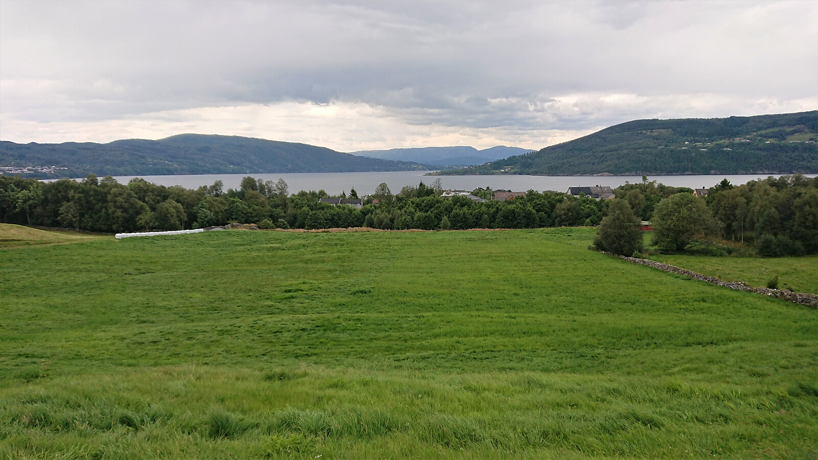
Storevasseggene and Blådalsnipa from Nordkvingo
- Datum:
- 05.08.2021
- Tourcharakter:
- Bergtour
- Tourlänge:
- 4:40h
- Entfernung:
- 14,7km
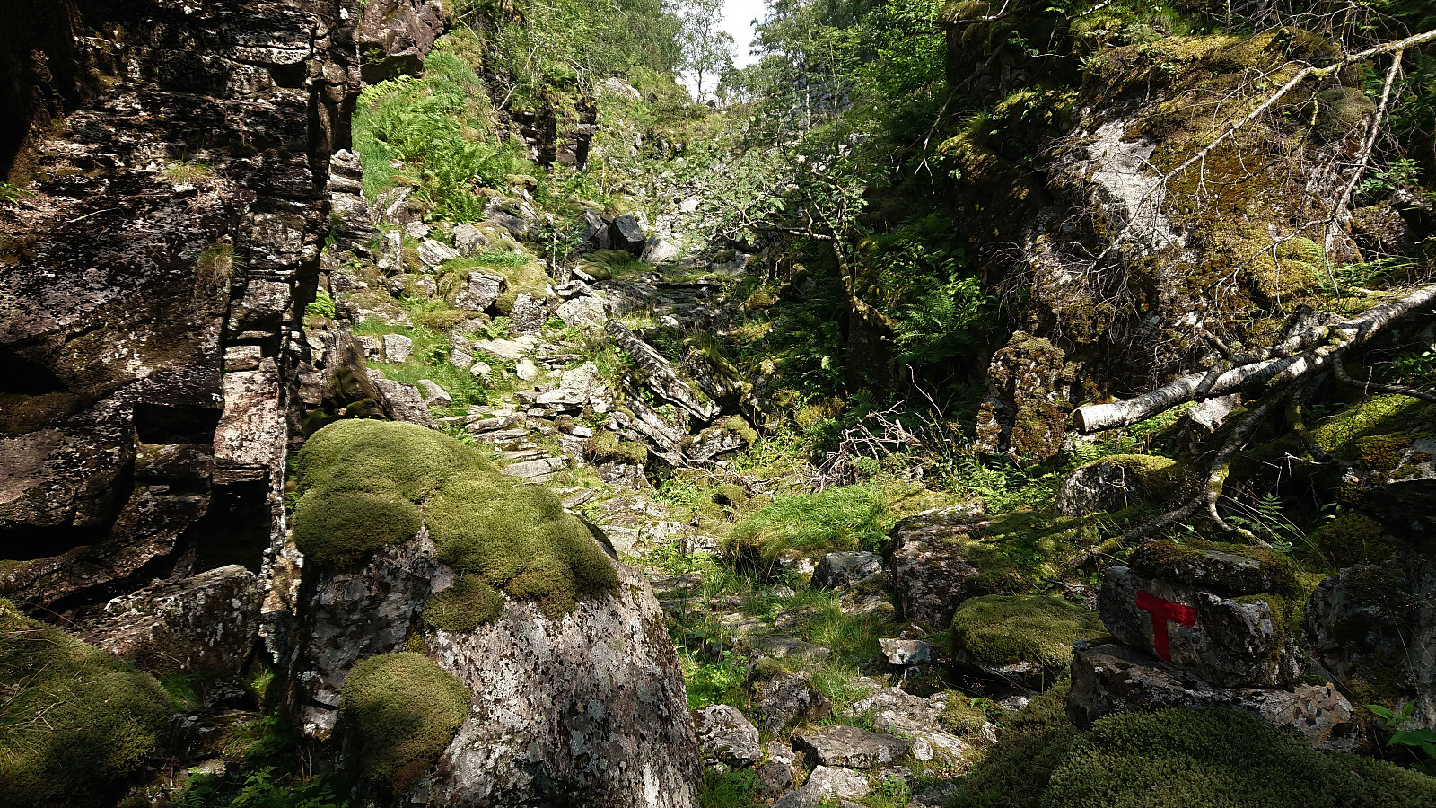 I started by taking the bus (or rather buses, four in total) to arrive at Nordkvingo where I got off at the stop called Sønsthaugen. Here I easily located the marked trailhead for Kalvedalshytta , which I then proceeded to follow. At first the trail was relatively steep, helped by various stone steps and metal railing, but it soon levelled off and it did not take too long before it started descending towards Gjelet where it connected with the new trail coming up from Nordkvingo p-plass .
The trail was marked with red T's and was overall easy to follow. After briefly passing by Blådalsvatnet, the trail shortly descended to south of Setertjørna where I got the first views of both Storevasseggene and Blådalsnipa , plus a nice overview of Nordkvingesetret , before the trail again started ascending into the valley in between Storevasseggene and Klefjellnipa .
Just before the marked trail >>>
I started by taking the bus (or rather buses, four in total) to arrive at Nordkvingo where I got off at the stop called Sønsthaugen. Here I easily located the marked trailhead for Kalvedalshytta , which I then proceeded to follow. At first the trail was relatively steep, helped by various stone steps and metal railing, but it soon levelled off and it did not take too long before it started descending towards Gjelet where it connected with the new trail coming up from Nordkvingo p-plass .
The trail was marked with red T's and was overall easy to follow. After briefly passing by Blådalsvatnet, the trail shortly descended to south of Setertjørna where I got the first views of both Storevasseggene and Blådalsnipa , plus a nice overview of Nordkvingesetret , before the trail again started ascending into the valley in between Storevasseggene and Klefjellnipa .
Just before the marked trail >>>
