Archiv - Nach Datum
Archiv - Nach Aktivität
-
Andere Tour (3)
- Kayaking (3)
-
Fahrradtour (111)
- Fahrradtour Straße (86)
- Fahrradtour gemischt (25)
-
Fahrzeugtour (9)
- Autotour (9)
-
Fußtour (1897)
- Bergtour (1120)
- Jogging (1)
- Spaziergang (60)
- Wanderung (716)
-
Skitour (116)
- Langlauf (47)
- Tourenskilauf (69)
Gesammelte Listen
-
Utvalgte topper og turmål i Bergen
(349/351)
 99%
99% -
Alle topper i Bergen
(393/400)
98%
-
Voss ≥ 100m pf.
(96/98)
97%
-
Opptur Hordaland
(144/159)
90%
-
Stasjoner på Bergensbanen
(33/40)
82%
-
Ulvik ≥ 100m pf.
(30/38)
78%
-
Hordaland ≥ 100m pf.
(624/863)
72%
-
Mjølfjell PF > 100m
(21/31)
67%
-
Jondal ≥ 100m pf.
(15/23)
65%
-
Dagsturhyttene i Vestland
(36/61)
59%
-
Sunnhordland PF >= 100m
(105/186)
56%
-
Hordaland: Hardanger PF>=100m
(196/359)
54%
-
DNT-hytter i Hordaland
(23/45)
51%
-
Kvinnherad ≥ 100m pf.
(40/79)
50%
-
Eidfjord ≥ 100m pf.
(13/42)
30%
-
Sogndal ≥ 100m pf.
(23/81)
28%
-
Gulen ≥ 100m pf.
(15/54)
27%
-
Vik i Sogn ≥ 100m pf.
(10/46)
21%
-
Sogn - Sør for Sognefjorden PF>=100m
(31/159)
19%
-
DNT-hytter i Sogn og Fjordane
(8/47)
17%

Cycling: Flaktveit
- Datum:
- 17.05.2021
- Tourcharakter:
- Fahrradtour Straße
- Tourlänge:
- 1:39h
- Entfernung:
- 25,5km
 Evening cycling trip exploring Flaktveit.
Kistehaugen, Høgehaugen and Klubben
- Datum:
- 16.05.2021
- Tourcharakter:
- Bergtour
- Tourlänge:
- 2:41h
- Entfernung:
- 11,3km
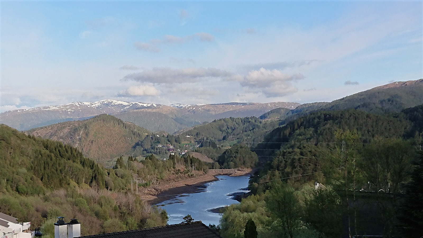
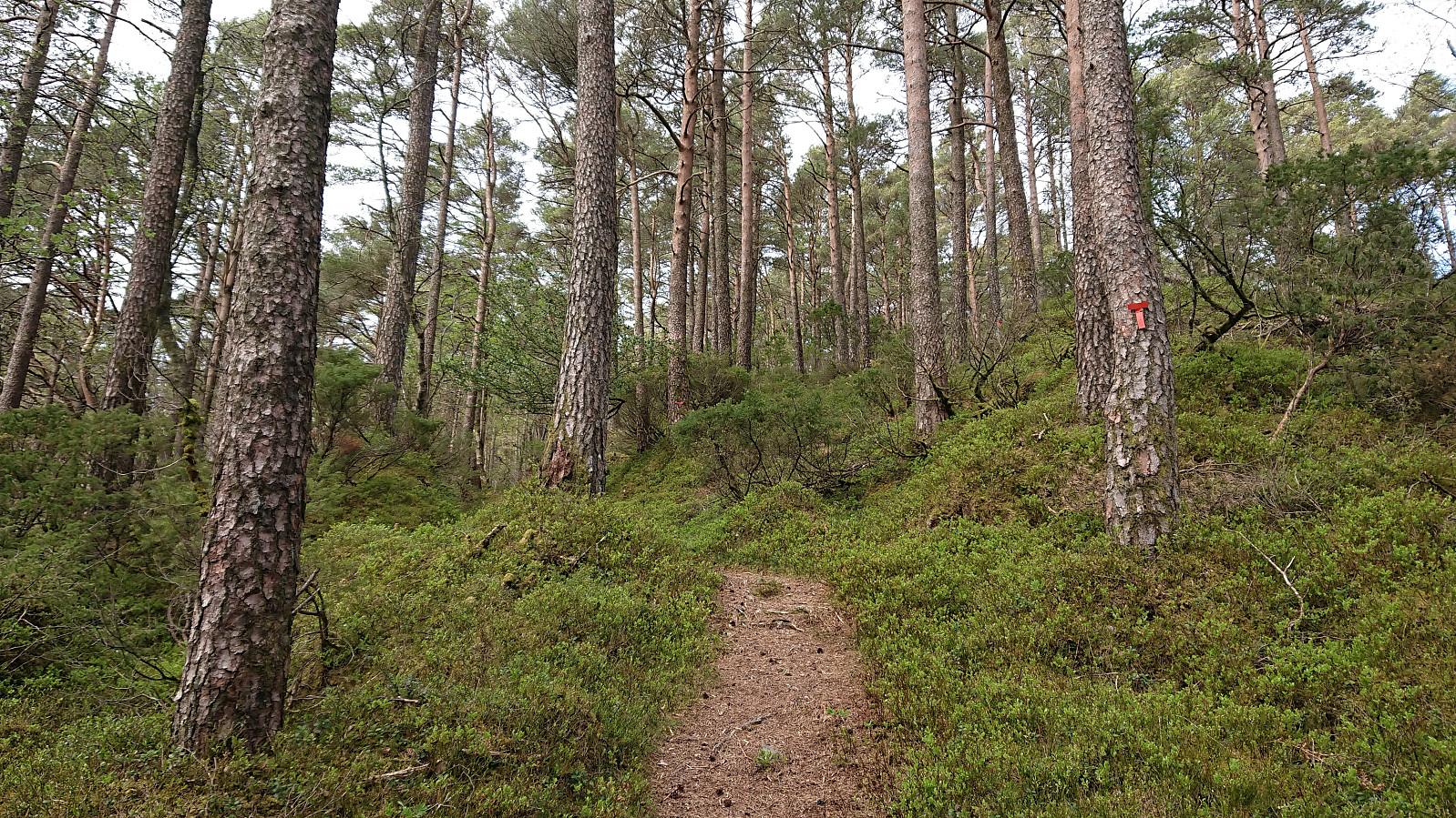
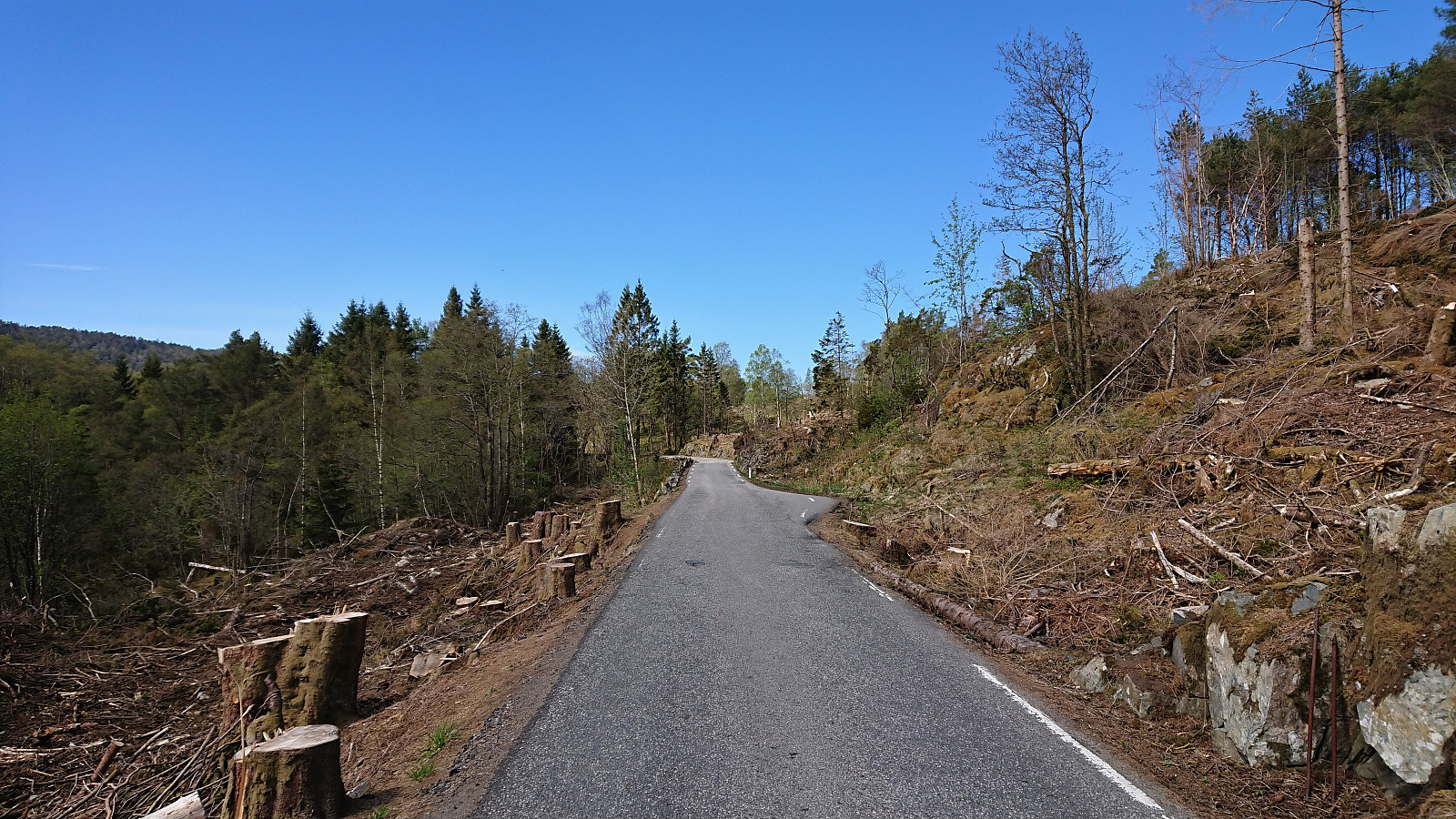
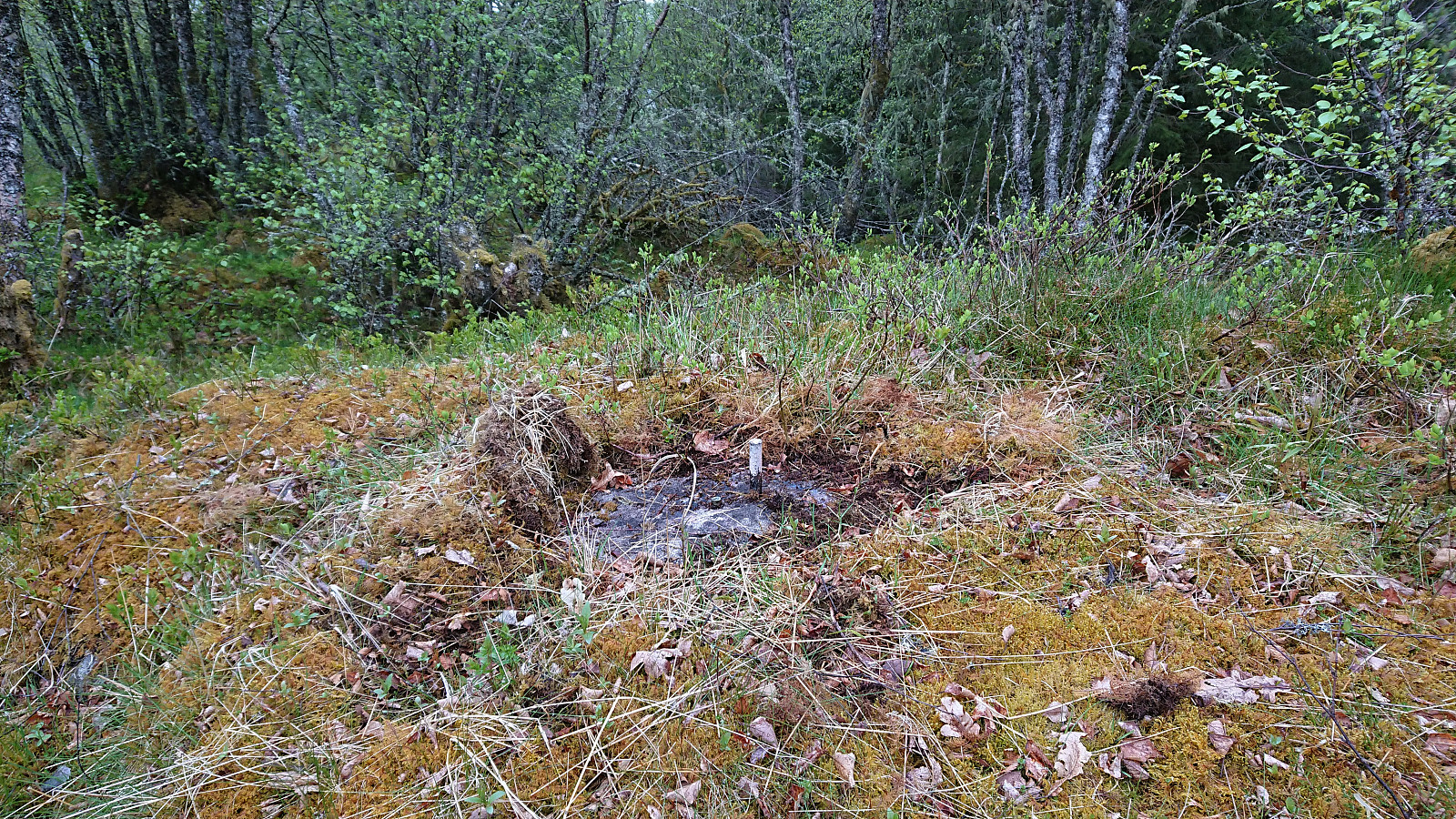 Another hike in the footsteps of Kjell51 (Kjell Øijorden) . This time exploring the small hills west of Gaupåsvatnet. I started by taking the bus and getting off at the stop called Spåkevegen. From there I easily located the old road taking me up towards Lyskasterbatteriet på Gaupåsen . On the way there I made a short off-trail visit of Kistehaugen to the south, which included a bit of backtracking as I realized too late that I ought to head there first, but was otherwise straightforward. Kistehaugen even included its own trig marker, however the views were very limited.
Next up was Lyskasterbatteriet. An interesting location with the remains of old military installations, and with fitting live sound effects from the shooting range just north of Arnavegen. From there I continued towards Høgehaugen on a surprisingly good trail, albeit with limited views. The trail passed >>>
Another hike in the footsteps of Kjell51 (Kjell Øijorden) . This time exploring the small hills west of Gaupåsvatnet. I started by taking the bus and getting off at the stop called Spåkevegen. From there I easily located the old road taking me up towards Lyskasterbatteriet på Gaupåsen . On the way there I made a short off-trail visit of Kistehaugen to the south, which included a bit of backtracking as I realized too late that I ought to head there first, but was otherwise straightforward. Kistehaugen even included its own trig marker, however the views were very limited.
Next up was Lyskasterbatteriet. An interesting location with the remains of old military installations, and with fitting live sound effects from the shooting range just north of Arnavegen. From there I continued towards Høgehaugen on a surprisingly good trail, albeit with limited views. The trail passed >>>
Lauvåsen from Lønborg
- Datum:
- 15.05.2021
- Tourcharakter:
- Bergtour
- Tourlänge:
- 3:18h
- Entfernung:
- 13,6km
 After Kjell51 (Kjell Øijorden) 's recent "discovery" of Lauvåsen , I of course had to make a visit. I started by walking along the roads from Lønborg to the unmarked trailhead right next to Vinddalsveien P-lomme . The trail was initially a bit weak, but soon it was easy enough to follow. I think I missed an exit somewhere though, as the trail I was on did not head towards the summit. I therefore made an off-trail shortcut and soon reconnected with a trail that took me all the way to the summit, which provided nice views, especially west across Jordalsvatnet and Eidsvåg.
From the summit, I continued along the trail to the overhead power line to the south, where there was an excellent overview of Jordalen. Here I noticed that the trail continued east, and I saw an opportunity for an alternative route back to the road. Shortly I reached >>>
After Kjell51 (Kjell Øijorden) 's recent "discovery" of Lauvåsen , I of course had to make a visit. I started by walking along the roads from Lønborg to the unmarked trailhead right next to Vinddalsveien P-lomme . The trail was initially a bit weak, but soon it was easy enough to follow. I think I missed an exit somewhere though, as the trail I was on did not head towards the summit. I therefore made an off-trail shortcut and soon reconnected with a trail that took me all the way to the summit, which provided nice views, especially west across Jordalsvatnet and Eidsvåg.
From the summit, I continued along the trail to the overhead power line to the south, where there was an excellent overview of Jordalen. Here I noticed that the trail continued east, and I saw an opportunity for an alternative route back to the road. Shortly I reached >>>
Nesevarden, Kleppavarden and Hovåsen from Kongsviktjørna
- Datum:
- 13.05.2021
- Tourcharakter:
- Bergtour
- Tourlänge:
- 1:51h
- Entfernung:
- 5,1km
 After finally arriving at the marked trailhead next to Kongsviktjørna, I left my bike behind (see separate report for the cycling here: Cycling: Neshamn ) and continued on foot along a very nice marked trail. It therefore did not take long before I arrived at Nesevarden , which provided very nice views, especially towards the south. The marked trail continued north/northwest to Kleppavarden , but the trail markers were here further apart and the trail quality also dropped a bit, with a several wet areas that had to be crossed. The summit of Kleppavarden was still reached without any issues. Limited views from the large cairn, but if moving just north of the summit pretty good view across Reksteren could be obtained, although today slightly reduced due to a haze left over from the low-hanging clouds earlier in the day.
After a quick >>>
After finally arriving at the marked trailhead next to Kongsviktjørna, I left my bike behind (see separate report for the cycling here: Cycling: Neshamn ) and continued on foot along a very nice marked trail. It therefore did not take long before I arrived at Nesevarden , which provided very nice views, especially towards the south. The marked trail continued north/northwest to Kleppavarden , but the trail markers were here further apart and the trail quality also dropped a bit, with a several wet areas that had to be crossed. The summit of Kleppavarden was still reached without any issues. Limited views from the large cairn, but if moving just north of the summit pretty good view across Reksteren could be obtained, although today slightly reduced due to a haze left over from the low-hanging clouds earlier in the day.
After a quick >>>
Cycling: Neshamn
- Datum:
- 13.05.2021
- Tourcharakter:
- Fahrradtour Straße
- Tourlänge:
- 11:54h
- Entfernung:
- 112,9km
 The main objective of the day was to visit Kleppavarden at Tysnes, and the trailhead was to be reached by bike. When I started cycling from Lønborg, low-hanging clouds were covering half of Askøy, and the clouds had still not started lifting when I arrived at Halhjem, where I was too early and had to wait more than 40 minutes for the ferry. When getting off the ferry at Våge, the clouds finally disappeared as I followed the main road to Søreidsvågen, from where I continued on the smaller Neshamnvegen to the marked trailhead for Kleppavarden next to Kongsviktjørna. Here I left the bike behind and continued on foot. See the separate report here: Nesevarden, Kleppavarden and Hovåsen from Kongsviktjørna . Upon returning to the bike, I still had plenty of time until the ferry at Våge, and I therefore first made a short detour to Neshamn before following the >>>
Cycling: Fjellveien
- Datum:
- 11.05.2021
- Tourcharakter:
- Fahrradtour Straße
- Tourlänge:
- 2:54h
- Entfernung:
- 15,0km
 Short local cycling trip that also included an extended break to properly clean the bike.
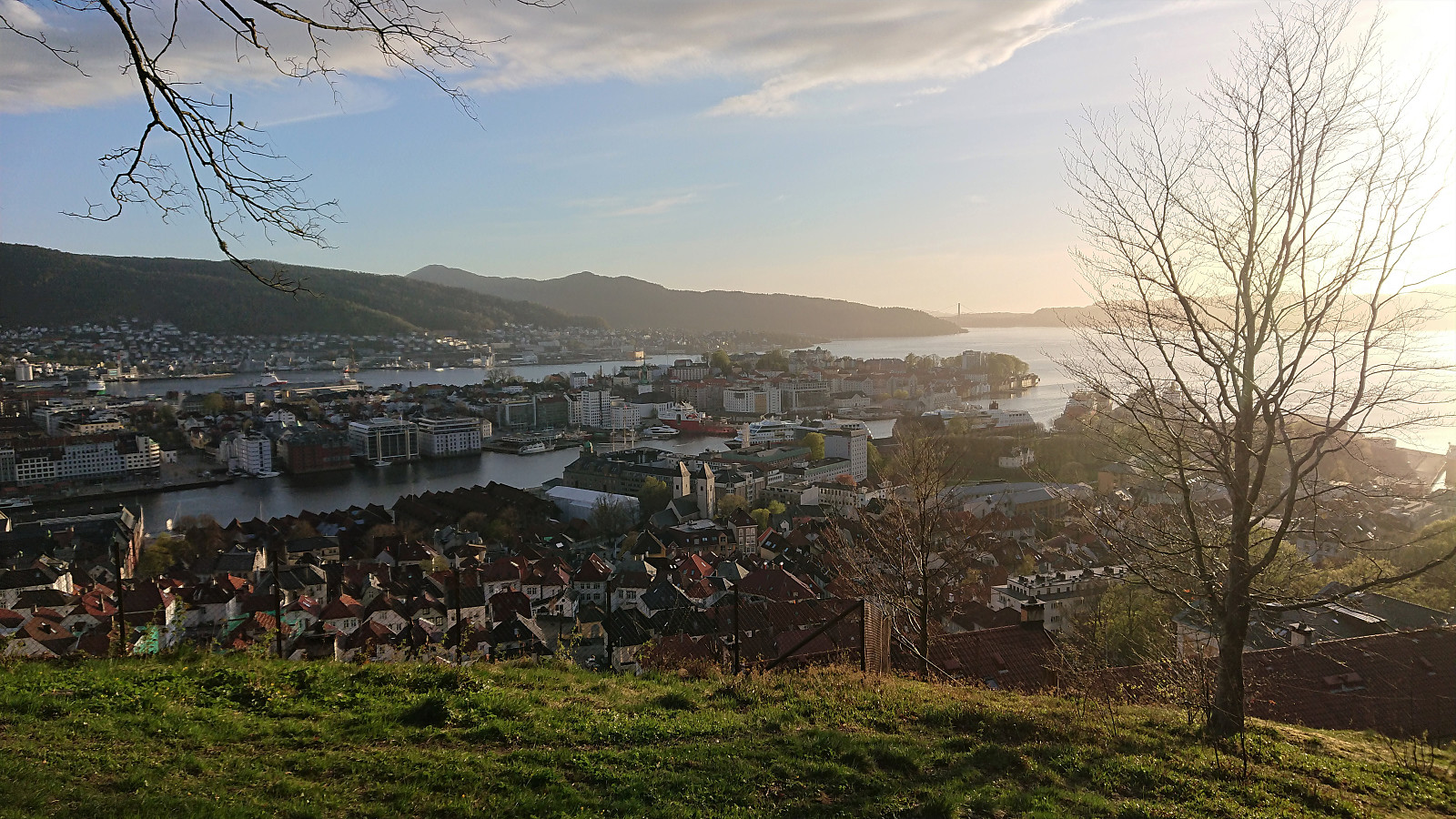
Fjellveien
- Datum:
- 09.05.2021
- Tourcharakter:
- Wanderung
- Tourlänge:
- 3:01h
- Entfernung:
- 13,2km
 Local hike in Fjellveien.
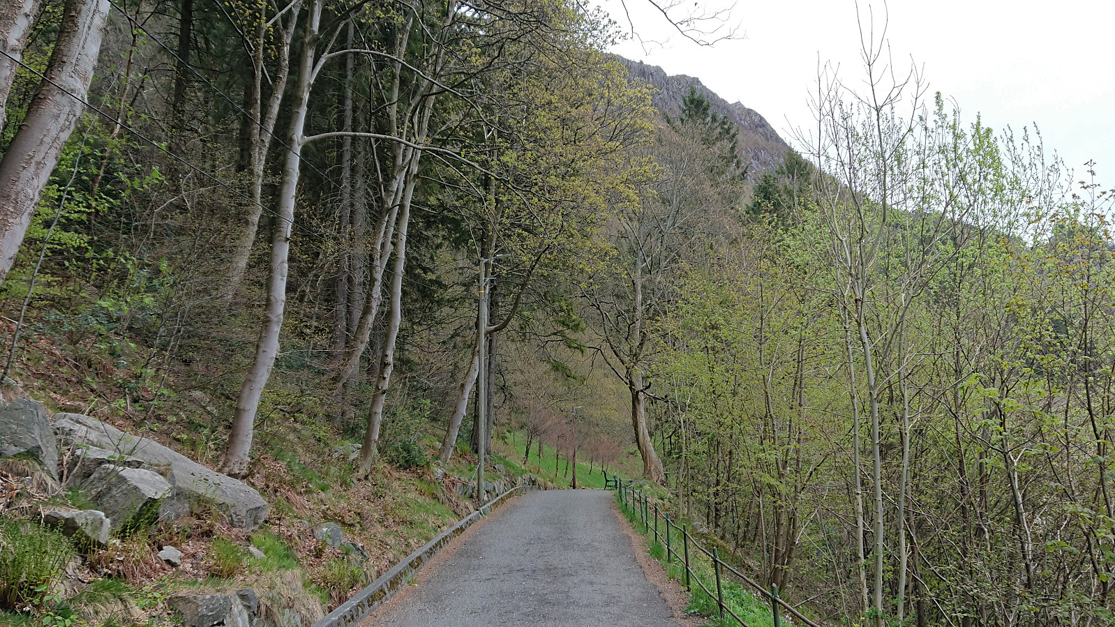
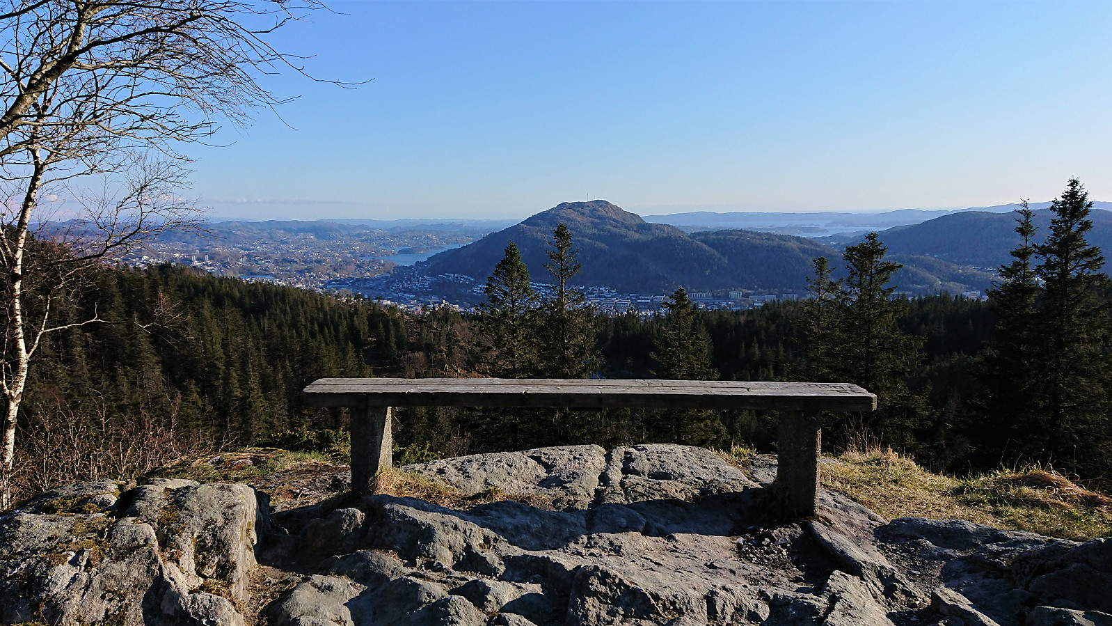
Tellevikafjellet and Veten from Salhus
- Datum:
- 08.05.2021
- Tourcharakter:
- Bergtour
- Tourlänge:
- 5:46h
- Entfernung:
- 21,1km
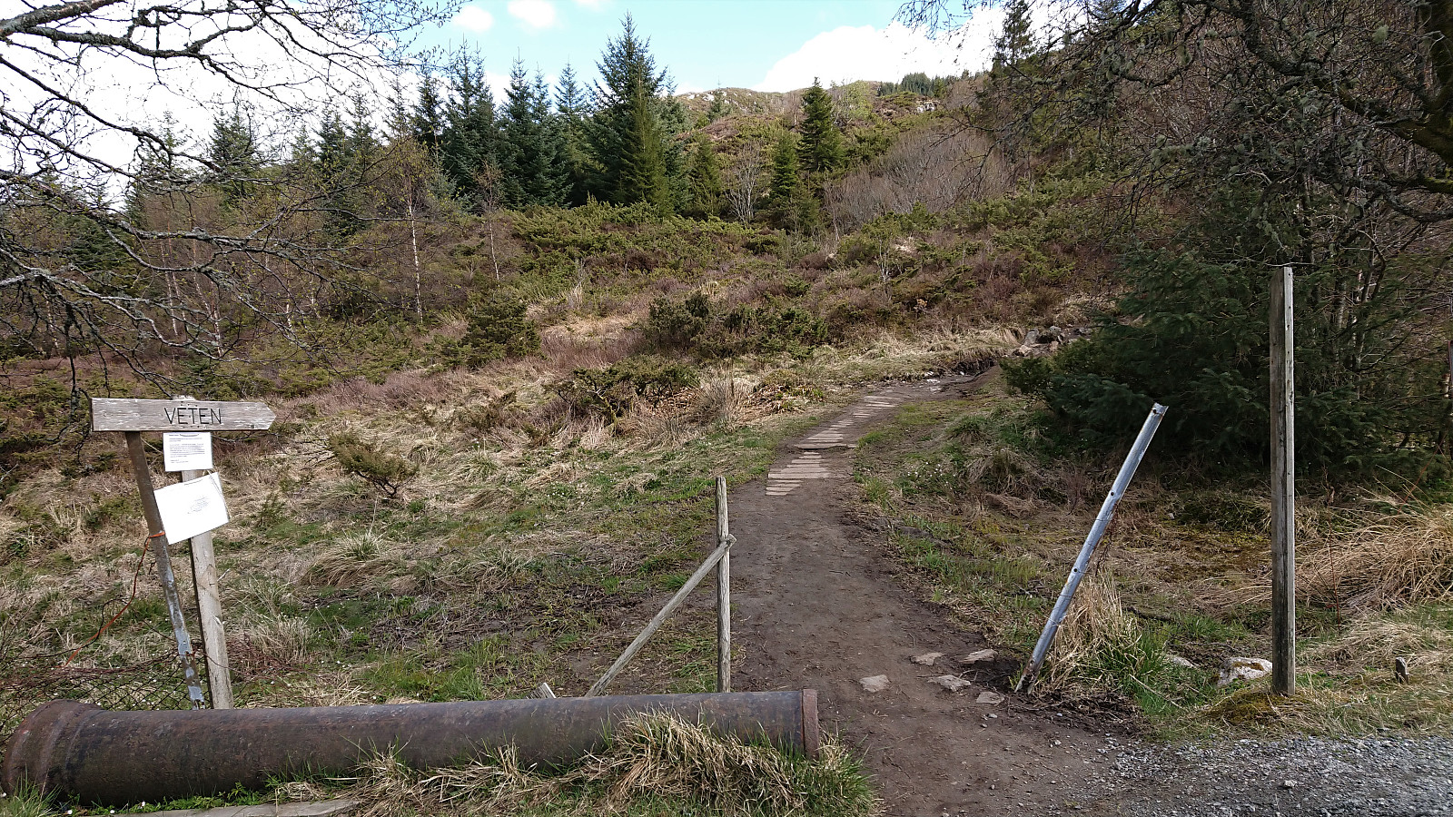 The goal of this hike was to ascend Tellevikafjellet from Salhus. I therefore started by taking the bus to Salhus and the bus stop called "Slettebakken Tellevikvegen", which happened to be less than 200 meters from the unmarked trailhead at the end of a short side road that started directly from the bus stop. The trail was of good quality, even included several wooden bridges, and could easily be followed. At the third bridge, the trail split, and I followed the option heading southeast along the river up to Milastemma .
Halfway in between Milastemma and Tellevikafjellet, I saw the tail end of the first viper, i.e. hoggorm, of 2021 as it disappeared into its hiding place close to the trail. It would not be the last of the hike though, but more on that later... After visiting both the trig marker at Tellavikafjellet >>>
The goal of this hike was to ascend Tellevikafjellet from Salhus. I therefore started by taking the bus to Salhus and the bus stop called "Slettebakken Tellevikvegen", which happened to be less than 200 meters from the unmarked trailhead at the end of a short side road that started directly from the bus stop. The trail was of good quality, even included several wooden bridges, and could easily be followed. At the third bridge, the trail split, and I followed the option heading southeast along the river up to Milastemma .
Halfway in between Milastemma and Tellevikafjellet, I saw the tail end of the first viper, i.e. hoggorm, of 2021 as it disappeared into its hiding place close to the trail. It would not be the last of the hike though, but more on that later... After visiting both the trig marker at Tellavikafjellet >>>
Cycling: Brushytten
- Datum:
- 07.05.2021
- Tourcharakter:
- Fahrradtour gemischt
- Tourlänge:
- 2:00h
- Entfernung:
- 22,2km
 Evening cycling trip to Brushytten . Ascending via Fjellveien and Skansemyren, and descending via Sandviksfjellet and Munkebotsvatnet.
Across Hellen festning
- Datum:
- 06.05.2021
- Tourcharakter:
- Wanderung
- Tourlänge:
- 0:51h
- Entfernung:
- 3,8km
 Short local evening hike.
