Archiv - Nach Datum
Archiv - Nach Aktivität
-
Andere Tour (3)
- Kayaking (3)
-
Fahrradtour (111)
- Fahrradtour Straße (86)
- Fahrradtour gemischt (25)
-
Fahrzeugtour (9)
- Autotour (9)
-
Fußtour (1897)
- Bergtour (1120)
- Jogging (1)
- Spaziergang (60)
- Wanderung (716)
-
Skitour (116)
- Langlauf (47)
- Tourenskilauf (69)
Gesammelte Listen
-
Utvalgte topper og turmål i Bergen
(349/351)
 99%
99% -
Alle topper i Bergen
(393/400)
98%
-
Voss ≥ 100m pf.
(96/98)
97%
-
Opptur Hordaland
(144/159)
90%
-
Stasjoner på Bergensbanen
(33/40)
82%
-
Ulvik ≥ 100m pf.
(30/38)
78%
-
Hordaland ≥ 100m pf.
(624/863)
72%
-
Mjølfjell PF > 100m
(21/31)
67%
-
Jondal ≥ 100m pf.
(15/23)
65%
-
Dagsturhyttene i Vestland
(36/61)
59%
-
Sunnhordland PF >= 100m
(105/186)
56%
-
Hordaland: Hardanger PF>=100m
(196/359)
54%
-
DNT-hytter i Hordaland
(23/45)
51%
-
Kvinnherad ≥ 100m pf.
(40/79)
50%
-
Eidfjord ≥ 100m pf.
(13/42)
30%
-
Sogndal ≥ 100m pf.
(23/81)
28%
-
Gulen ≥ 100m pf.
(15/54)
27%
-
Vik i Sogn ≥ 100m pf.
(10/46)
21%
-
Sogn - Sør for Sognefjorden PF>=100m
(31/159)
19%
-
DNT-hytter i Sogn og Fjordane
(8/47)
17%

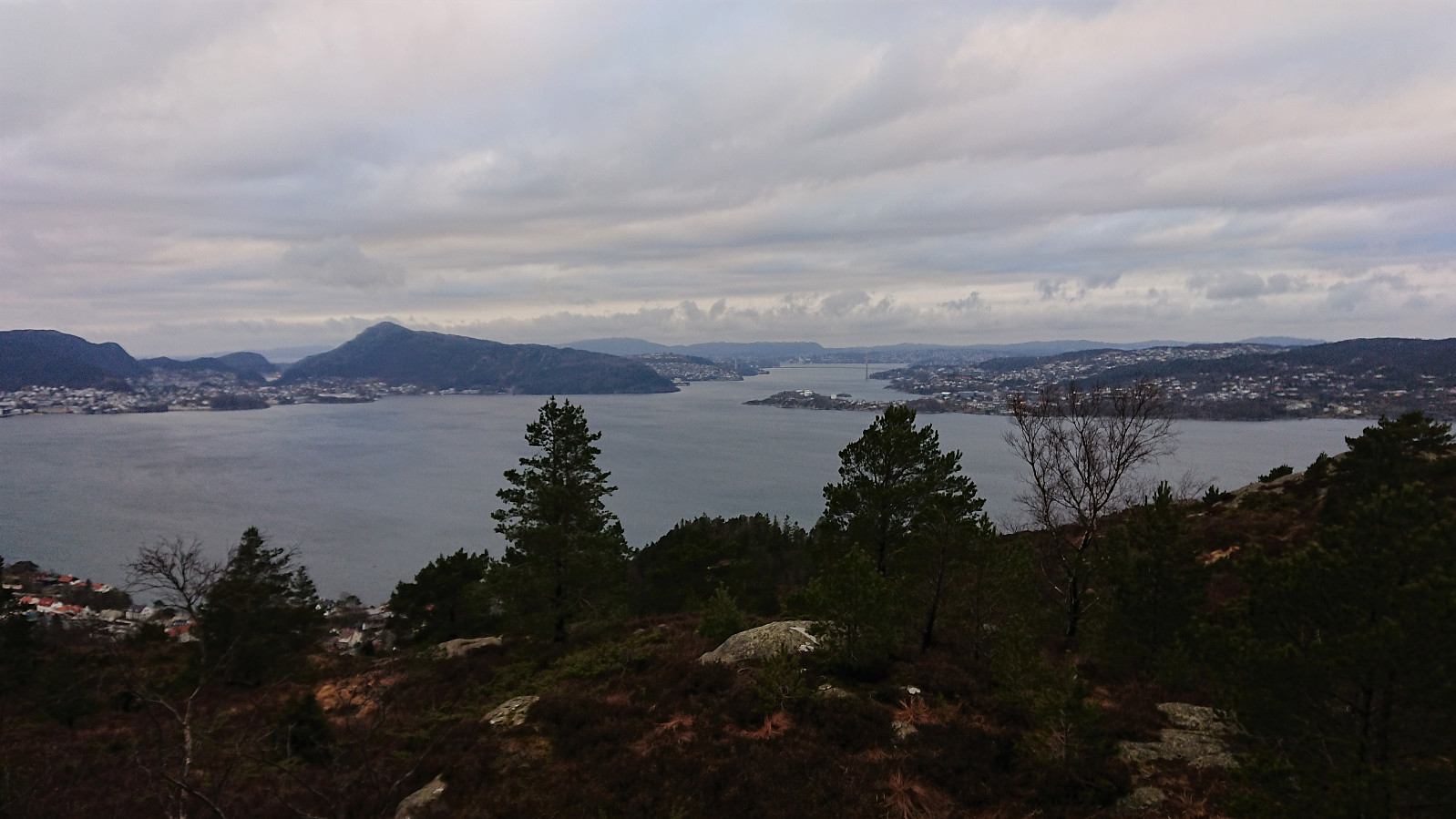
Ørneberget and Furukammen
- Datum:
- 31.03.2021
- Tourcharakter:
- Bergtour
- Tourlänge:
- 2:24h
- Entfernung:
- 4,4km
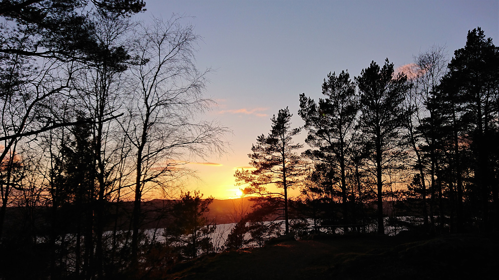 Short local evening hike.
Geitanuken from Myrdalskogen
- Datum:
- 31.03.2021
- Tourcharakter:
- Bergtour
- Tourlänge:
- 1:13h
- Entfernung:
- 5,6km
 A quick visit of Geitanuken during an extended late lunch break.
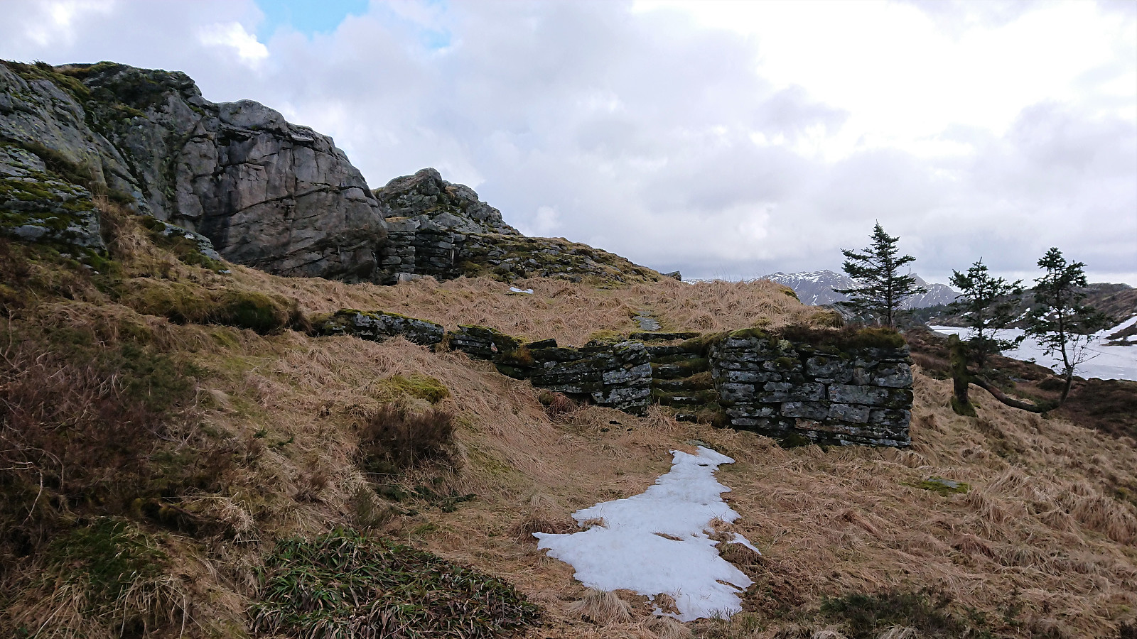
Across Hellen festning
- Datum:
- 30.03.2021
- Tourcharakter:
- Wanderung
- Tourlänge:
- 0:33h
- Entfernung:
- 3,1km
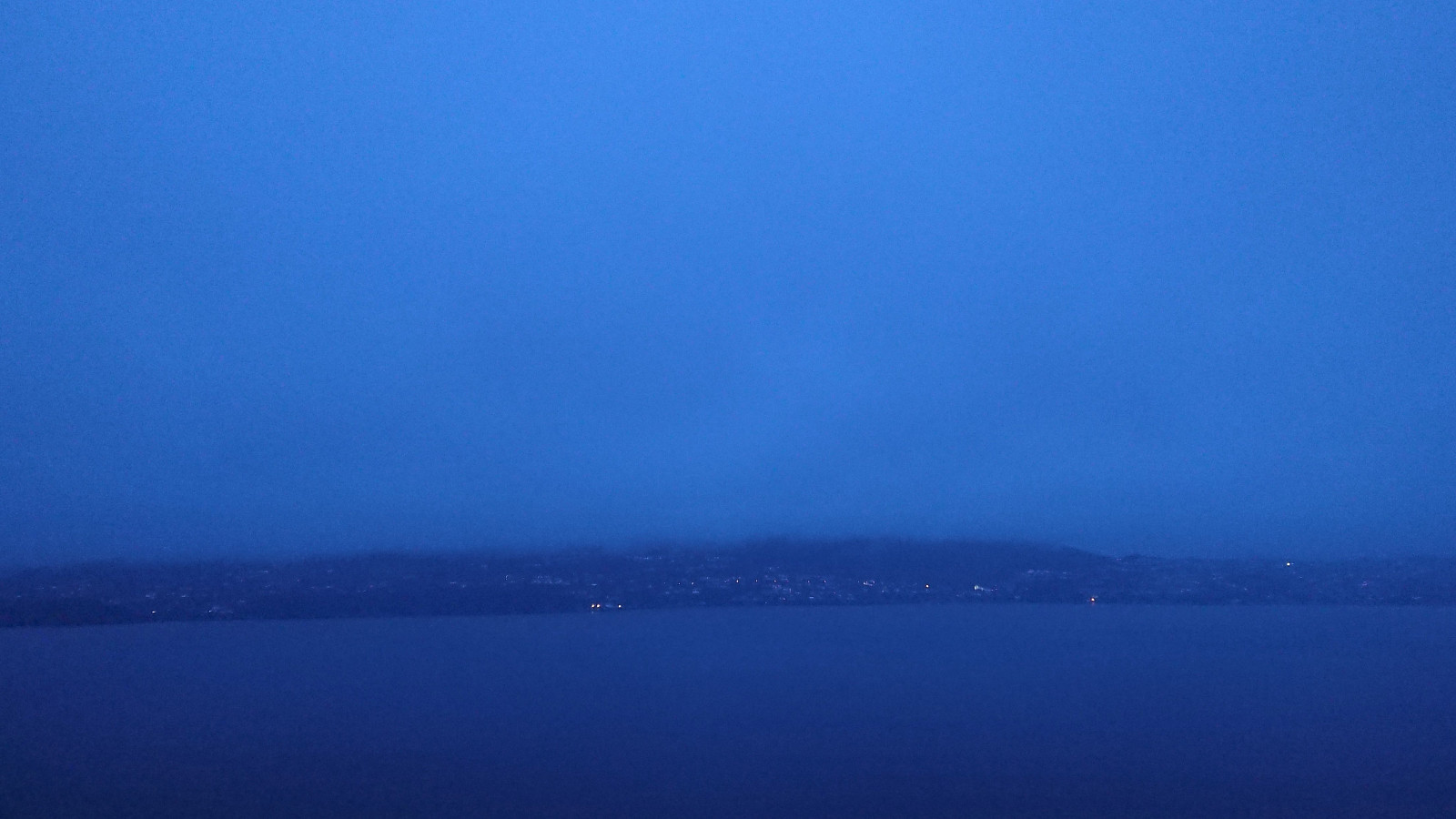 Short local hike in constant rain.
Hellen festning and Furukammen
- Datum:
- 29.03.2021
- Tourcharakter:
- Wanderung
- Tourlänge:
- 1:58h
- Entfernung:
- 4,1km
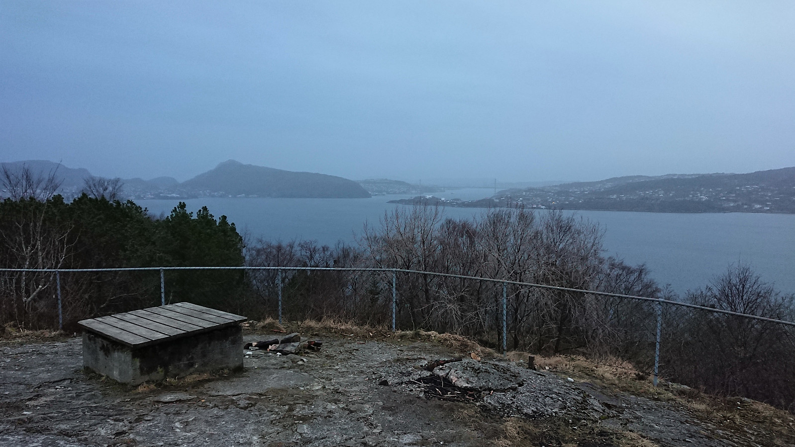 Short local evening hike.
Hellemyrstien
- Datum:
- 28.03.2021
- Tourcharakter:
- Wanderung
- Tourlänge:
- 1:31h
- Entfernung:
- 8,1km
 Short local Sunday hike when it finally stopped raining.
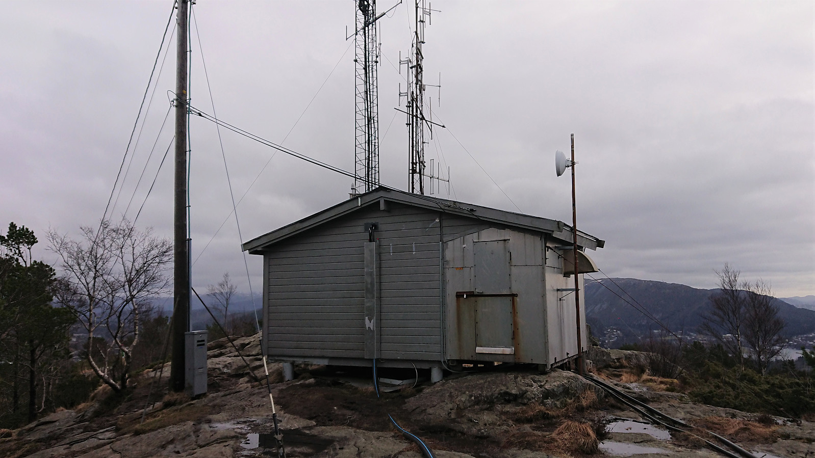
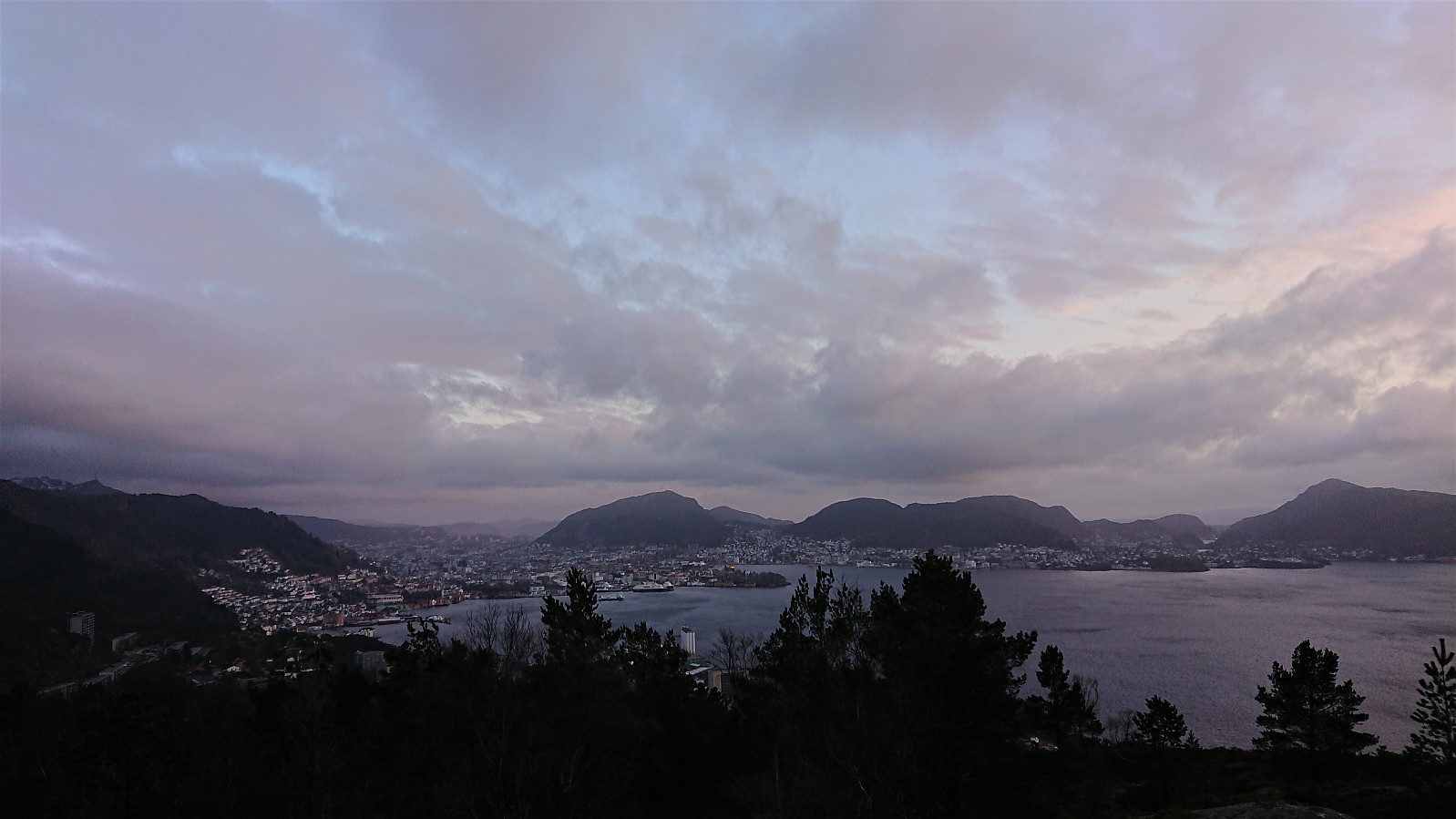
Rundemanen from Lønborg
- Datum:
- 27.03.2021
- Tourcharakter:
- Bergtour
- Tourlänge:
- 4:05h
- Entfernung:
- 17,7km
 Local hike to Rundemanen via Sandvikshytten and Lavet . On the way home I also passed by the two new ruins north of Storevatnet recently discovered by Kjell51 (Kjell Øijorden) , the most prominent of which has now been added as a new PB-element .
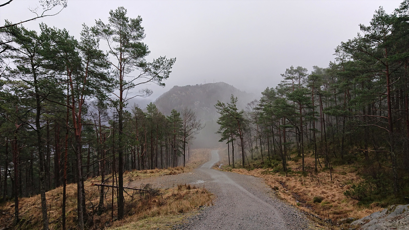
Ørneberget and Hellen festning
- Datum:
- 25.03.2021
- Tourcharakter:
- Bergtour
- Tourlänge:
- 0:55h
- Entfernung:
- 4,2km
 Short local evening hike.
Across Hellen festning
- Datum:
- 24.03.2021
- Tourcharakter:
- Wanderung
- Tourlänge:
- 0:34h
- Entfernung:
- 3,1km
 Short local evening hike in between the rain showers.
Ørneberget and Hellemyrstien
- Datum:
- 23.03.2021
- Tourcharakter:
- Bergtour
- Tourlänge:
- 3:15h
- Entfernung:
- 6,4km
 Short local hike after work.
Arna to Lønborg
- Datum:
- 21.03.2021
- Tourcharakter:
- Bergtour
- Tourlänge:
- 6:02h
- Entfernung:
- 20,1km
 I started by taking the bus to Arna and getting off at the bus stop called Hammaren. From there I shortly followed a paved road before switching to an old tractor road heading north and then southwest to circumvent a house. It turned out that this short detour was not necessary though as there was also a shortcut just to the south of the house.
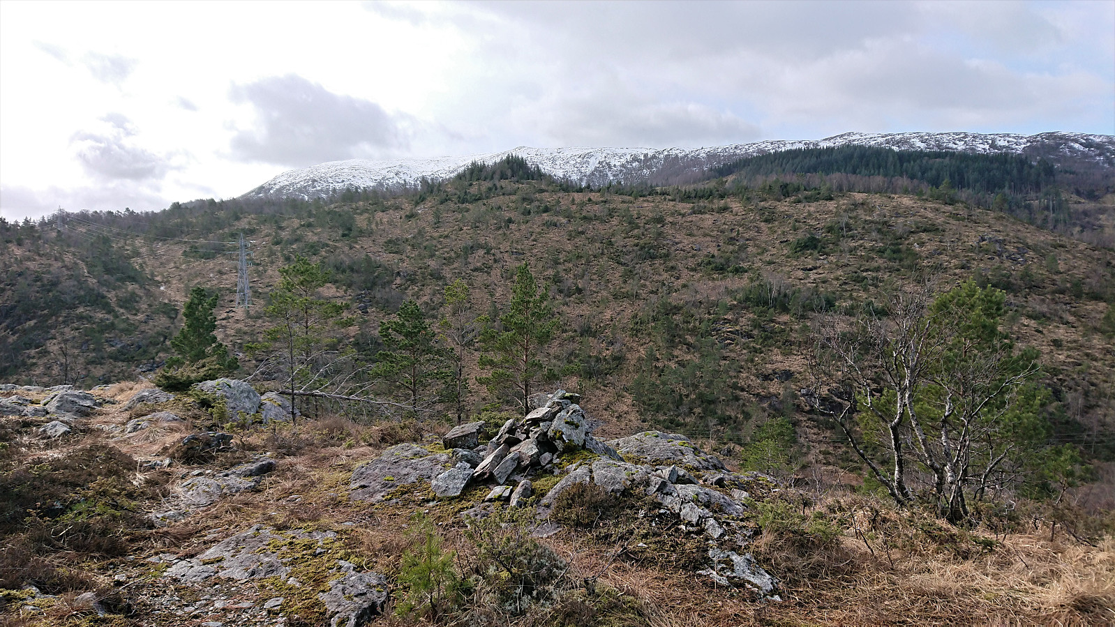
The tractor road quickly turned into a nice unmarked trail that I could easily follow all the way to Fabiansvarden . Which, despite its name, did not include any cairn that I could find. The views were also rather limited and I therefore did not stay long before making a large U-turn on my way south towards Merkeshaugen , soon even on a marked trail. No markers on the summit itself, but there was a small single-rock cairn south of the summit, which is maybe where the name comes >>>
I started by taking the bus to Arna and getting off at the bus stop called Hammaren. From there I shortly followed a paved road before switching to an old tractor road heading north and then southwest to circumvent a house. It turned out that this short detour was not necessary though as there was also a shortcut just to the south of the house.
The tractor road quickly turned into a nice unmarked trail that I could easily follow all the way to Fabiansvarden . Which, despite its name, did not include any cairn that I could find. The views were also rather limited and I therefore did not stay long before making a large U-turn on my way south towards Merkeshaugen , soon even on a marked trail. No markers on the summit itself, but there was a small single-rock cairn south of the summit, which is maybe where the name comes >>>
