Archiv - Nach Datum
Archiv - Nach Aktivität
-
Andere Tour (3)
- Kayaking (3)
-
Fahrradtour (111)
- Fahrradtour Straße (86)
- Fahrradtour gemischt (25)
-
Fahrzeugtour (9)
- Autotour (9)
-
Fußtour (1897)
- Bergtour (1120)
- Jogging (1)
- Spaziergang (60)
- Wanderung (716)
-
Skitour (116)
- Langlauf (47)
- Tourenskilauf (69)
Gesammelte Listen
-
Utvalgte topper og turmål i Bergen
(349/351)
 99%
99% -
Alle topper i Bergen
(393/400)
98%
-
Voss ≥ 100m pf.
(96/98)
97%
-
Opptur Hordaland
(144/159)
90%
-
Stasjoner på Bergensbanen
(33/40)
82%
-
Ulvik ≥ 100m pf.
(30/38)
78%
-
Hordaland ≥ 100m pf.
(624/863)
72%
-
Mjølfjell PF > 100m
(21/31)
67%
-
Jondal ≥ 100m pf.
(15/23)
65%
-
Dagsturhyttene i Vestland
(36/61)
59%
-
Sunnhordland PF >= 100m
(105/186)
56%
-
Hordaland: Hardanger PF>=100m
(196/359)
54%
-
DNT-hytter i Hordaland
(23/45)
51%
-
Kvinnherad ≥ 100m pf.
(40/79)
50%
-
Eidfjord ≥ 100m pf.
(13/42)
30%
-
Sogndal ≥ 100m pf.
(23/81)
28%
-
Gulen ≥ 100m pf.
(15/54)
27%
-
Vik i Sogn ≥ 100m pf.
(10/46)
21%
-
Sogn - Sør for Sognefjorden PF>=100m
(31/159)
19%
-
DNT-hytter i Sogn og Fjordane
(8/47)
17%

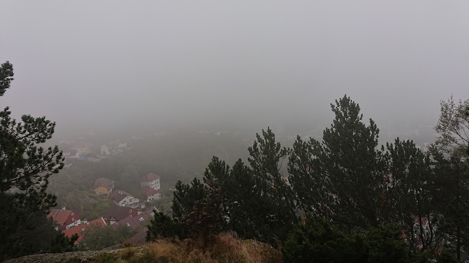
Munkebotn and Hellemyrstien
- Datum:
- 30.09.2020
- Tourcharakter:
- Wanderung
- Tourlänge:
- 1:33h
- Entfernung:
- 8,4km
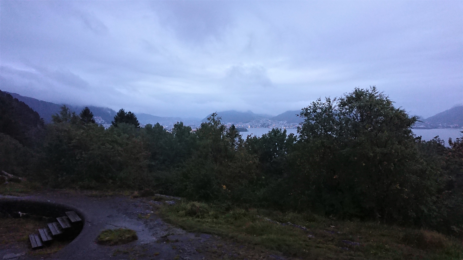
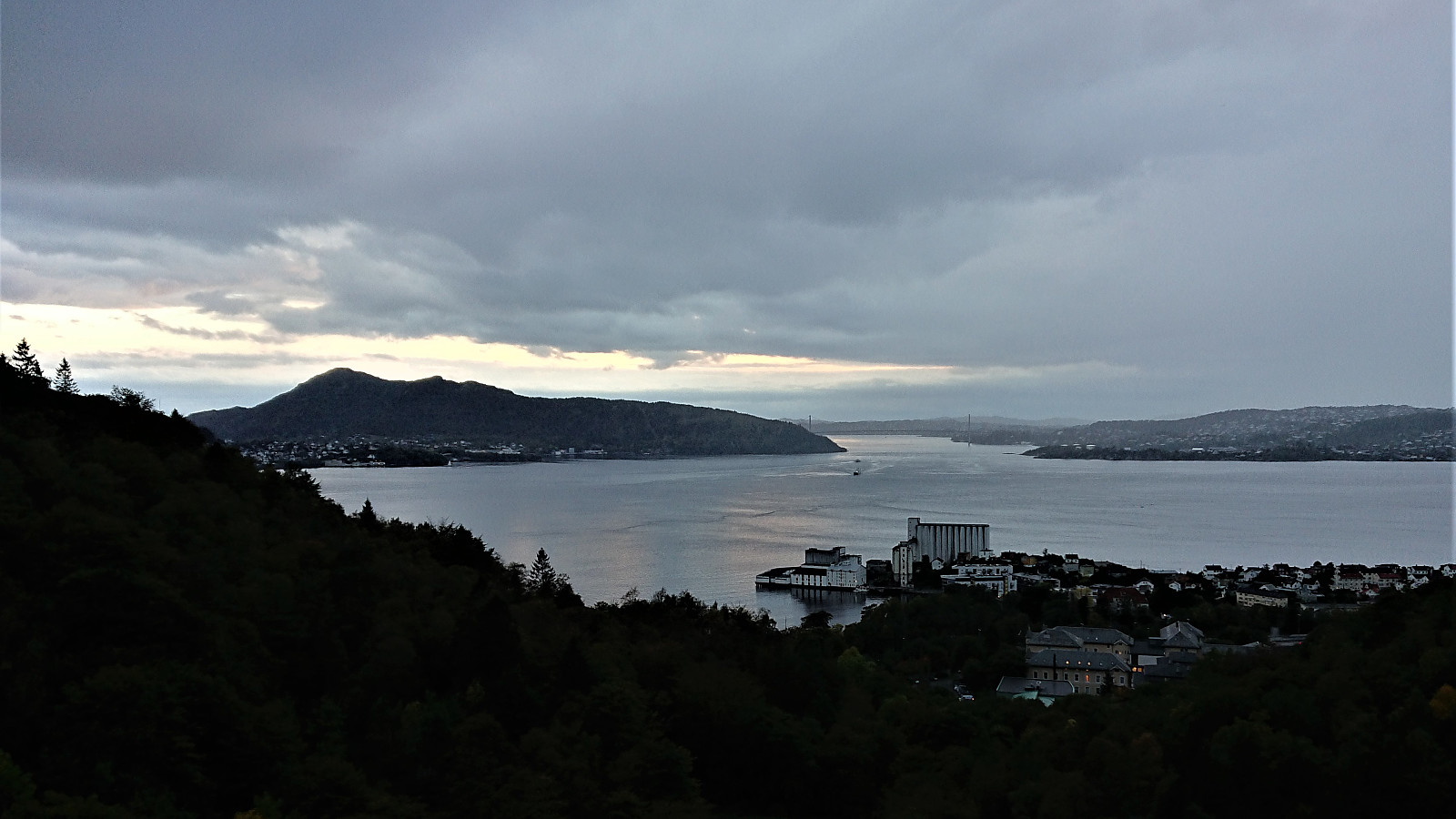 Short local evening hike.
Hellemyrstien and Furukammen
- Datum:
- 28.09.2020
- Tourcharakter:
- Wanderung
- Tourlänge:
- 1:21h
- Entfernung:
- 7,2km
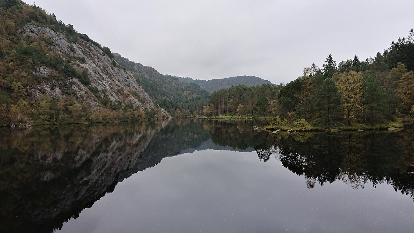 Short local evening hike.
Bjørnaknausen and Gråhorga from Kvitingsvatnet
- Datum:
- 27.09.2020
- Tourcharakter:
- Bergtour
- Tourlänge:
- 5:59h
- Entfernung:
- 21,1km
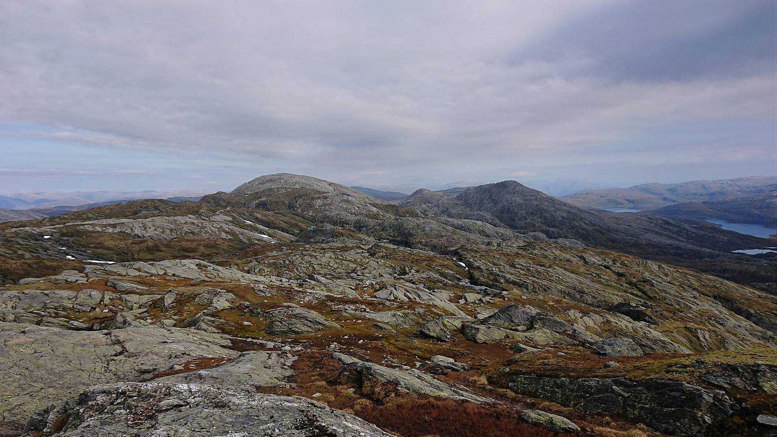 We parked at Kvitingen p-plass and, after paying the 50 kr parking fee, followed the gravel road towards Holmavatnet. When reaching the last bend in the road before the road’s final climb to the large dam at Holmavatnet, we left the road and instead followed the marked trail for Vending , Høgabu and Gullhorgabu . The trail was marked with red T's and overall easy to follow.
Upon reaching Trongasmogtjørna, the trail forked and we continued northeast on the trail to Vending. We did not stay on this trail for very long though, leaving it at the top of Austra Trongasmoget and from there heading off-trail to the summit of Bjørnaknausen . The summit was reached without any difficulties, and after a couple of pictures we returned to the trail along more or less the same route.
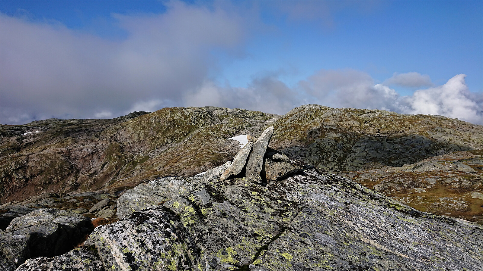
After a quick bite, I continued on my own to the summit of the nearby Gråhorga . Given >>>
We parked at Kvitingen p-plass and, after paying the 50 kr parking fee, followed the gravel road towards Holmavatnet. When reaching the last bend in the road before the road’s final climb to the large dam at Holmavatnet, we left the road and instead followed the marked trail for Vending , Høgabu and Gullhorgabu . The trail was marked with red T's and overall easy to follow.
Upon reaching Trongasmogtjørna, the trail forked and we continued northeast on the trail to Vending. We did not stay on this trail for very long though, leaving it at the top of Austra Trongasmoget and from there heading off-trail to the summit of Bjørnaknausen . The summit was reached without any difficulties, and after a couple of pictures we returned to the trail along more or less the same route.
After a quick bite, I continued on my own to the summit of the nearby Gråhorga . Given >>>
Hellen festning and Furukammen
- Datum:
- 22.09.2020
- Tourcharakter:
- Wanderung
- Tourlänge:
- 1:07h
- Entfernung:
- 5,0km
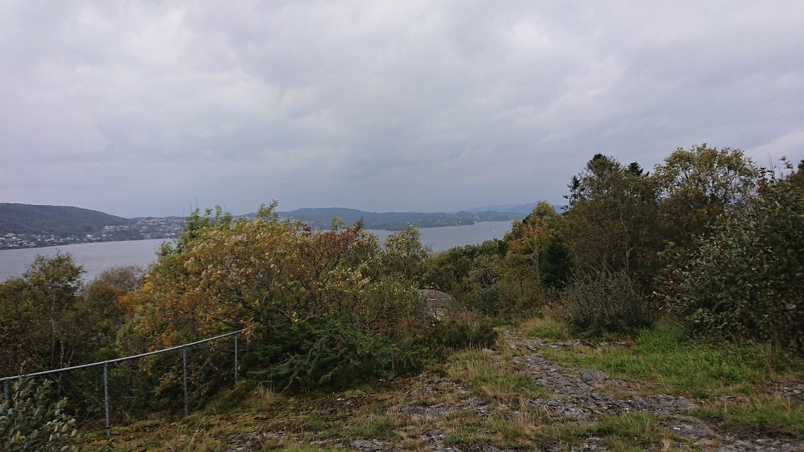 Short local evening hike.
Furukammen
- Datum:
- 20.09.2020
- Tourcharakter:
- Wanderung
- Tourlänge:
- 1:24h
- Entfernung:
- 4,9km
 Short local hike after yesterday's long trip in Samnanger and Fusa.
Kikenosi, Raudaberget and Gavlen from Frøland
- Datum:
- 19.09.2020
- Tourcharakter:
- Bergtour
- Tourlänge:
- 9:10h
- Entfernung:
- 26,4km
 I started by taking the bus to Frøland and from there walking up the gravel road to Holmane parkering II . I then briefly followed a tractor road until locating the unmarked trailhead for Kikenosi . The wet trail was steep but easy to follow and when the trail later got weaker there were small cairns marking the way, which came in very handy in the dense fog.
When reaching the valley east of the summit I somehow lost the cairns and ended up having to both backtrack and head off-trail to relocate them. By now the fog had started to clear, so I cannot blame it on low visibility. With a bit of very light climbing the cairns south of the summit of Kikenosi were located, providing excellent views, even if still limited by the fog. The cairn next to the summit and the summit itself had slightly less impressive views (at least >>>
I started by taking the bus to Frøland and from there walking up the gravel road to Holmane parkering II . I then briefly followed a tractor road until locating the unmarked trailhead for Kikenosi . The wet trail was steep but easy to follow and when the trail later got weaker there were small cairns marking the way, which came in very handy in the dense fog.
When reaching the valley east of the summit I somehow lost the cairns and ended up having to both backtrack and head off-trail to relocate them. By now the fog had started to clear, so I cannot blame it on low visibility. With a bit of very light climbing the cairns south of the summit of Kikenosi were located, providing excellent views, even if still limited by the fog. The cairn next to the summit and the summit itself had slightly less impressive views (at least >>>
Ørneberget
- Datum:
- 17.09.2020
- Tourcharakter:
- Bergtour
- Tourlänge:
- 1:02h
- Entfernung:
- 4,1km
 Short local evening hike.
Geitafjellet from Tokagjelet
- Datum:
- 16.09.2020
- Tourcharakter:
- Bergtour
- Tourlänge:
- 3:12h
- Entfernung:
- 10,3km
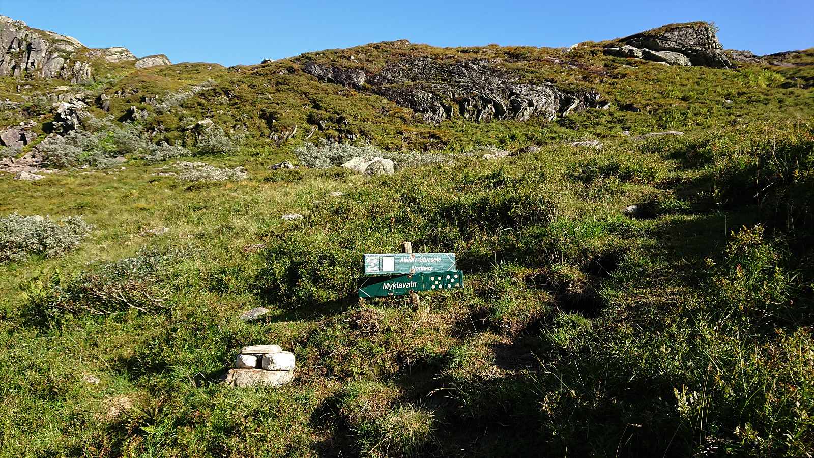 I started by taking the bus to the eastern end of Langvotnevatnet (bus stop called Tokagjelet), and from there followed the gravel road up to Byrkjesete. Here I continued on the trail towards Myklavatnet, but not long after entering Klypet I left the main trail and instead headed east on another trail marked "Alkleiv - Stuasete - Norheim". Did not stay on this weaker trail for long though and soon left it to head off-trail towards the summit of Geitafjellet which was reached without any difficulties.
The views from the summit were even better than expected, with an excellent overview of Norheimsund with Folgefonna in the background. Strong winds made me cut my stay short however and I did not wait long before descending along more or less the same route. The only difference being that I at the beginning >>>
I started by taking the bus to the eastern end of Langvotnevatnet (bus stop called Tokagjelet), and from there followed the gravel road up to Byrkjesete. Here I continued on the trail towards Myklavatnet, but not long after entering Klypet I left the main trail and instead headed east on another trail marked "Alkleiv - Stuasete - Norheim". Did not stay on this weaker trail for long though and soon left it to head off-trail towards the summit of Geitafjellet which was reached without any difficulties.
The views from the summit were even better than expected, with an excellent overview of Norheimsund with Folgefonna in the background. Strong winds made me cut my stay short however and I did not wait long before descending along more or less the same route. The only difference being that I at the beginning >>>
Across Hellen festning
- Datum:
- 15.09.2020
- Tourcharakter:
- Wanderung
- Tourlänge:
- 0:35h
- Entfernung:
- 3,2km
 Short local evening hike in the rain.
Haugane
- Datum:
- 13.09.2020
- Tourcharakter:
- Wanderung
- Tourlänge:
- 1:37h
- Entfernung:
- 7,9km
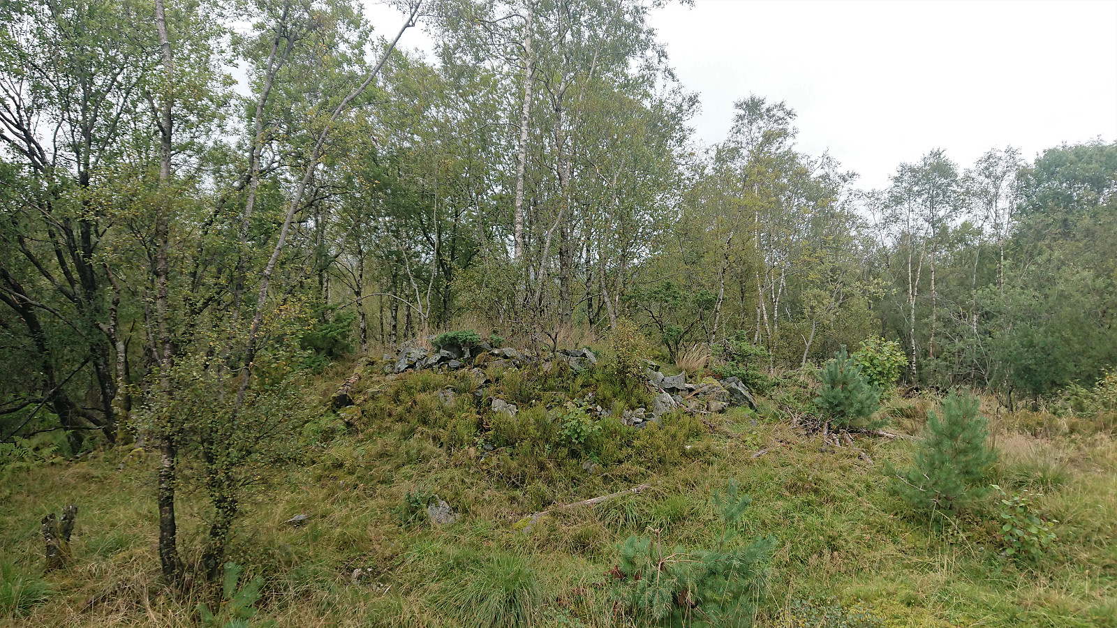 When neither the weather nor the recent local Covid-19 restrictions on public transportation were compatible with proper hiking, I decided to instead go for some local explorations in Åsane. The main goal being to visit Haugane , a small hill where the map indicated a couple of ruins from the second world war.
For more information about cultural monuments in the area, see Kulturminnedokumentasjon: Nyborg – Åsane .
When neither the weather nor the recent local Covid-19 restrictions on public transportation were compatible with proper hiking, I decided to instead go for some local explorations in Åsane. The main goal being to visit Haugane , a small hill where the map indicated a couple of ruins from the second world war.
For more information about cultural monuments in the area, see Kulturminnedokumentasjon: Nyborg – Åsane .
