Archiv - Nach Datum
Archiv - Nach Aktivität
-
Andere Tour (3)
- Kayaking (3)
-
Fahrradtour (111)
- Fahrradtour Straße (86)
- Fahrradtour gemischt (25)
-
Fahrzeugtour (9)
- Autotour (9)
-
Fußtour (1897)
- Bergtour (1120)
- Jogging (1)
- Spaziergang (60)
- Wanderung (716)
-
Skitour (116)
- Langlauf (47)
- Tourenskilauf (69)
Gesammelte Listen
-
Utvalgte topper og turmål i Bergen
(349/351)
 99%
99% -
Alle topper i Bergen
(393/400)
98%
-
Voss ≥ 100m pf.
(96/98)
97%
-
Opptur Hordaland
(144/159)
90%
-
Stasjoner på Bergensbanen
(33/40)
82%
-
Ulvik ≥ 100m pf.
(30/38)
78%
-
Hordaland ≥ 100m pf.
(624/863)
72%
-
Mjølfjell PF > 100m
(21/31)
67%
-
Jondal ≥ 100m pf.
(15/23)
65%
-
Dagsturhyttene i Vestland
(36/61)
59%
-
Sunnhordland PF >= 100m
(105/186)
56%
-
Hordaland: Hardanger PF>=100m
(196/359)
54%
-
DNT-hytter i Hordaland
(23/45)
51%
-
Kvinnherad ≥ 100m pf.
(40/79)
50%
-
Eidfjord ≥ 100m pf.
(13/42)
30%
-
Sogndal ≥ 100m pf.
(23/81)
28%
-
Gulen ≥ 100m pf.
(15/54)
27%
-
Vik i Sogn ≥ 100m pf.
(10/46)
21%
-
Sogn - Sør for Sognefjorden PF>=100m
(31/159)
19%
-
DNT-hytter i Sogn og Fjordane
(8/47)
17%

Across Hellen festning
- Datum:
- 09.09.2020
- Tourcharakter:
- Wanderung
- Tourlänge:
- 0:37h
- Entfernung:
- 3,3km
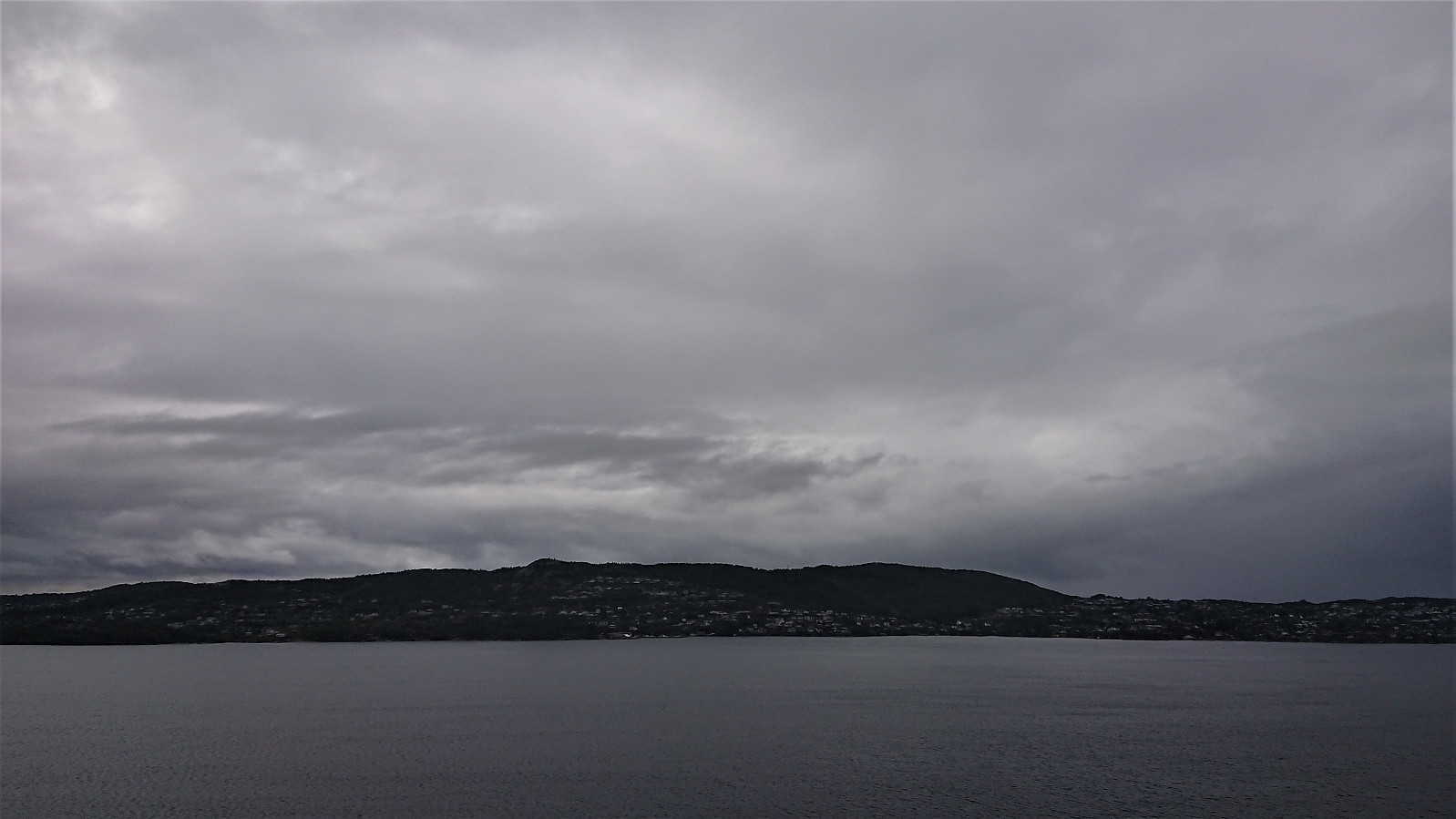
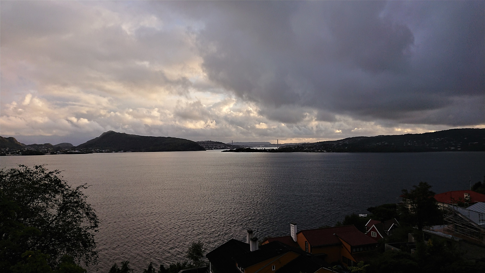 Short local hike after the first day back at the home office due to the increased COVID-19 restrictions in Bergen.
Sandviksbatteriet
- Datum:
- 06.09.2020
- Tourcharakter:
- Wanderung
- Tourlänge:
- 1:55h
- Entfernung:
- 10,5km
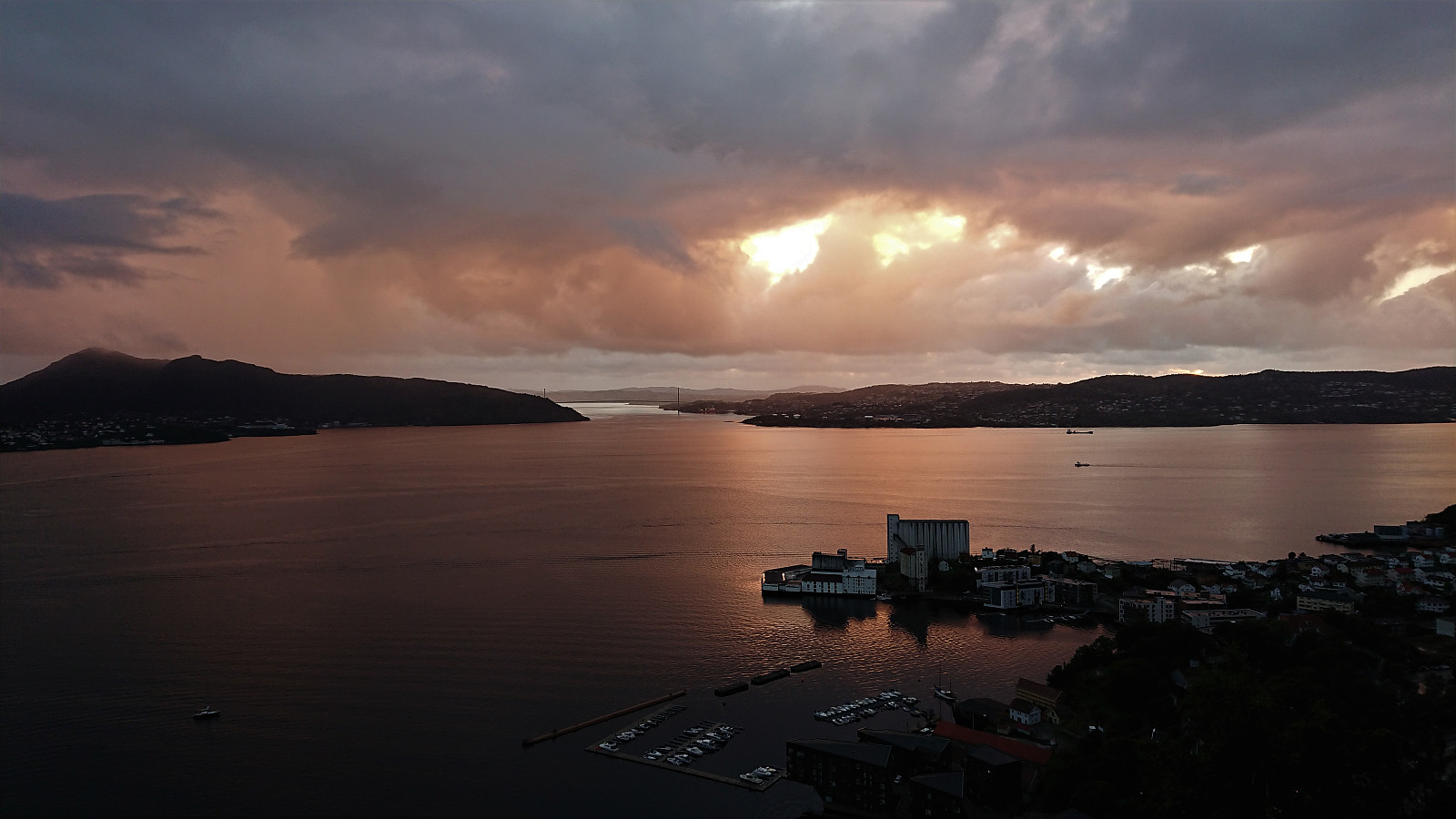 When the rain finally stopped there was not time for anything but a local hike.
Across Hellen festning
- Datum:
- 05.09.2020
- Tourcharakter:
- Wanderung
- Tourlänge:
- 0:38h
- Entfernung:
- 3,5km
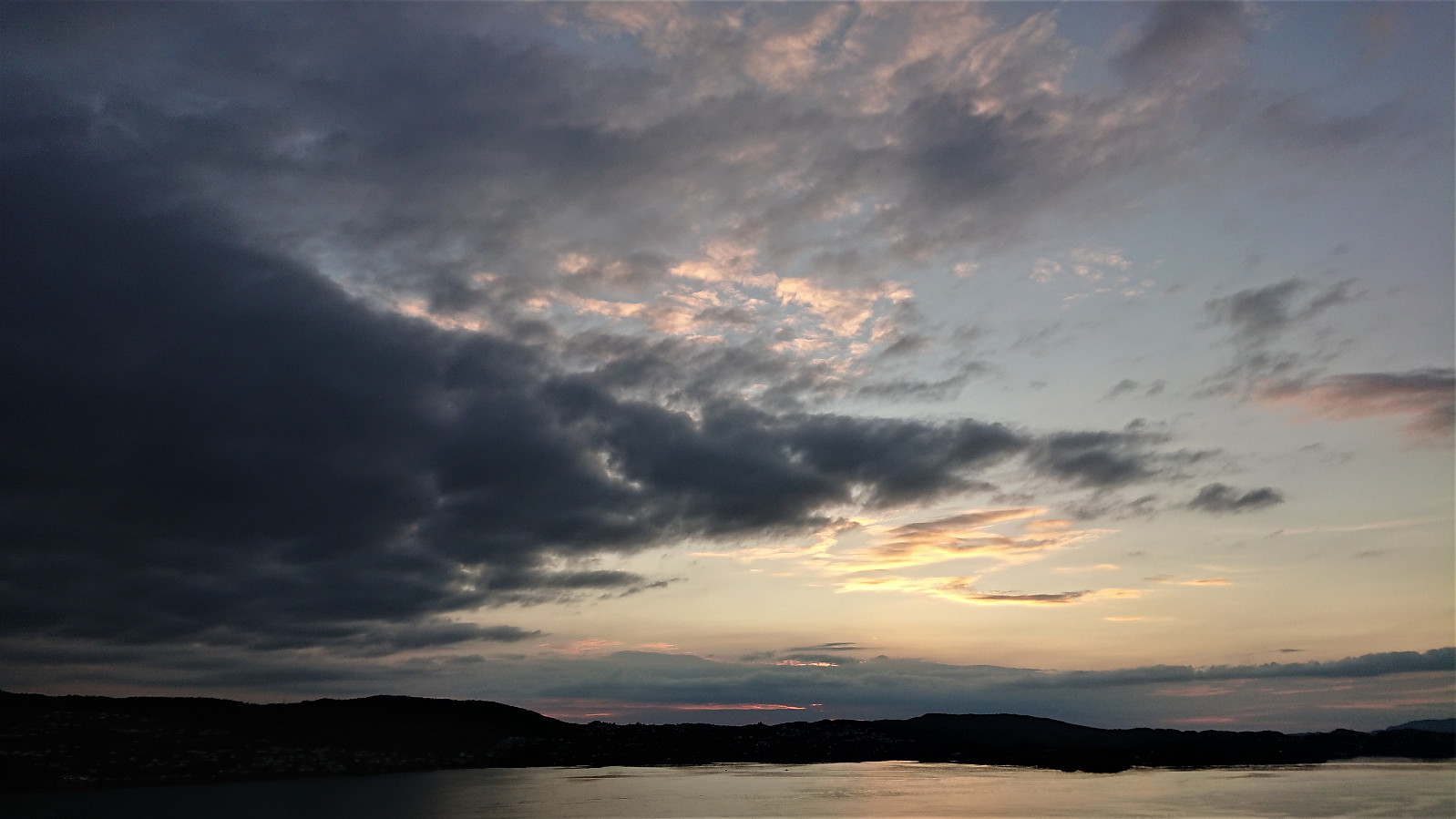
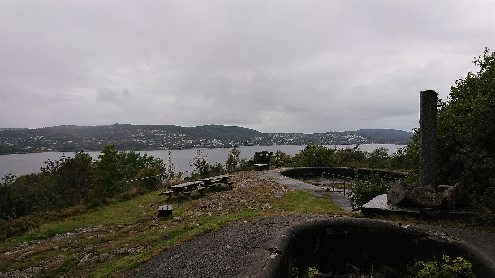 Short local hike on a wet Saturday.
Ulrikseggen
- Datum:
- 02.09.2020
- Tourcharakter:
- Bergtour
- Tourlänge:
- 2:58h
- Entfernung:
- 11,1km
 A hike after work to try the steep trail to Ulriken via Ulrikseggen.
Before starting on Ulrikseggen I made short detours to the ruins of Krutthuset and to Karistølen. I did not find a trail to the former, it was less than 20 meters from the road though, while for the latter, a trail continued where the road ended, but as far as I could tell it did not go far.
The Ulrikseggen trailhead was unmarked but relatively easy to locate. After the first meters being wet and muddy, the trail quality was significantly better than expected. There were a couple of short sections requiring a bit of scrambling, but overall the trail did not present any real challenges, and provided several spots with excellent views. After reaching the summit of Ulriken Vest , I descended via Langrinden.
To conclude, this is in my opinion by far the most >>>
A hike after work to try the steep trail to Ulriken via Ulrikseggen.
Before starting on Ulrikseggen I made short detours to the ruins of Krutthuset and to Karistølen. I did not find a trail to the former, it was less than 20 meters from the road though, while for the latter, a trail continued where the road ended, but as far as I could tell it did not go far.
The Ulrikseggen trailhead was unmarked but relatively easy to locate. After the first meters being wet and muddy, the trail quality was significantly better than expected. There were a couple of short sections requiring a bit of scrambling, but overall the trail did not present any real challenges, and provided several spots with excellent views. After reaching the summit of Ulriken Vest , I descended via Langrinden.
To conclude, this is in my opinion by far the most >>>
Instebotnsknolten and Sørdalsnuten from Sognevegen (E39)
- Datum:
- 30.08.2020
- Tourcharakter:
- Bergtour
- Tourlänge:
- 6:53h
- Entfernung:
- 23,7km
 I started by taking the bus to Dyrkollebotnen and following the paved road up to Dyrkolbotn P-plass . After passing the gate and a large herd of goats, I continued on the gravel road along Botnavatnet/Heimevatnet to the marked trailhead for Sørdalsnuten at the northern end of the lake. The first part of the trail was not of the best quality, but thankfully this improved as I reached Fossvatnet.
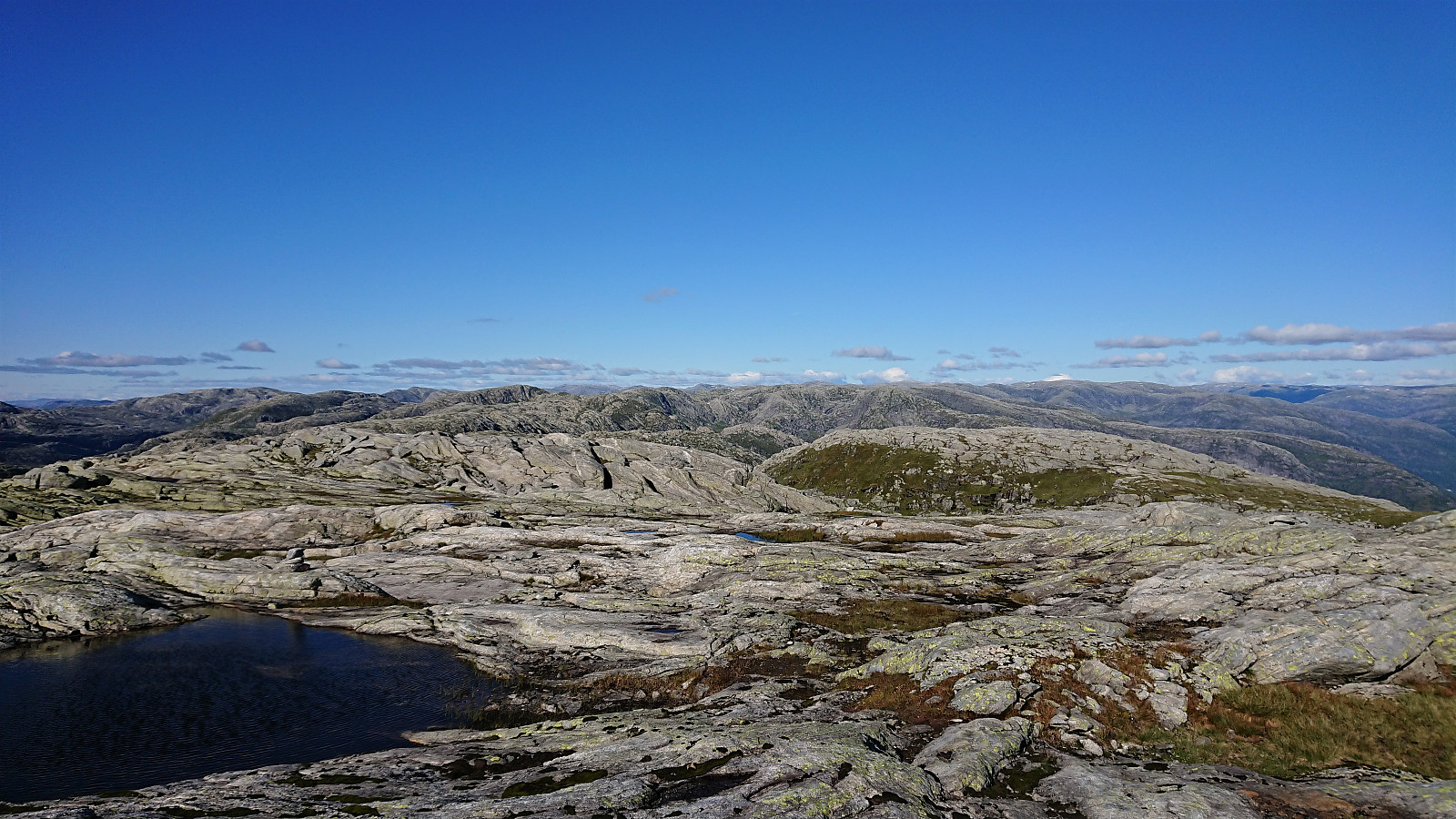
After passing over Langeneset the trail crossed the river via a bridge and then ascended briefly before descending into Midtbotnen where it started the climb up the valley. Upon reaching the top of Sørdalen, the trail forked and I shortly continued on the route to Sørdalsnuten before heading off-trail in the direction of Instebotnsknolten .
The terrain did not present any challenges and the summit of Instebotnsknolten was reached without any difficulties. >>>
I started by taking the bus to Dyrkollebotnen and following the paved road up to Dyrkolbotn P-plass . After passing the gate and a large herd of goats, I continued on the gravel road along Botnavatnet/Heimevatnet to the marked trailhead for Sørdalsnuten at the northern end of the lake. The first part of the trail was not of the best quality, but thankfully this improved as I reached Fossvatnet.
After passing over Langeneset the trail crossed the river via a bridge and then ascended briefly before descending into Midtbotnen where it started the climb up the valley. Upon reaching the top of Sørdalen, the trail forked and I shortly continued on the route to Sørdalsnuten before heading off-trail in the direction of Instebotnsknolten .
The terrain did not present any challenges and the summit of Instebotnsknolten was reached without any difficulties. >>>
Botnanuten from Furedalen
- Datum:
- 29.08.2020
- Tourcharakter:
- Bergtour
- Tourlänge:
- 4:48h
- Entfernung:
- 17,2km
 We started from a parking lot next to a cabin my sister and her family were renting for the weekend. After first walking north along the main road for a couple hundred meters, we continued on the gravel road around Kvinnhovden, before taking a wet shortcut to reach Aktiven Skiheis .
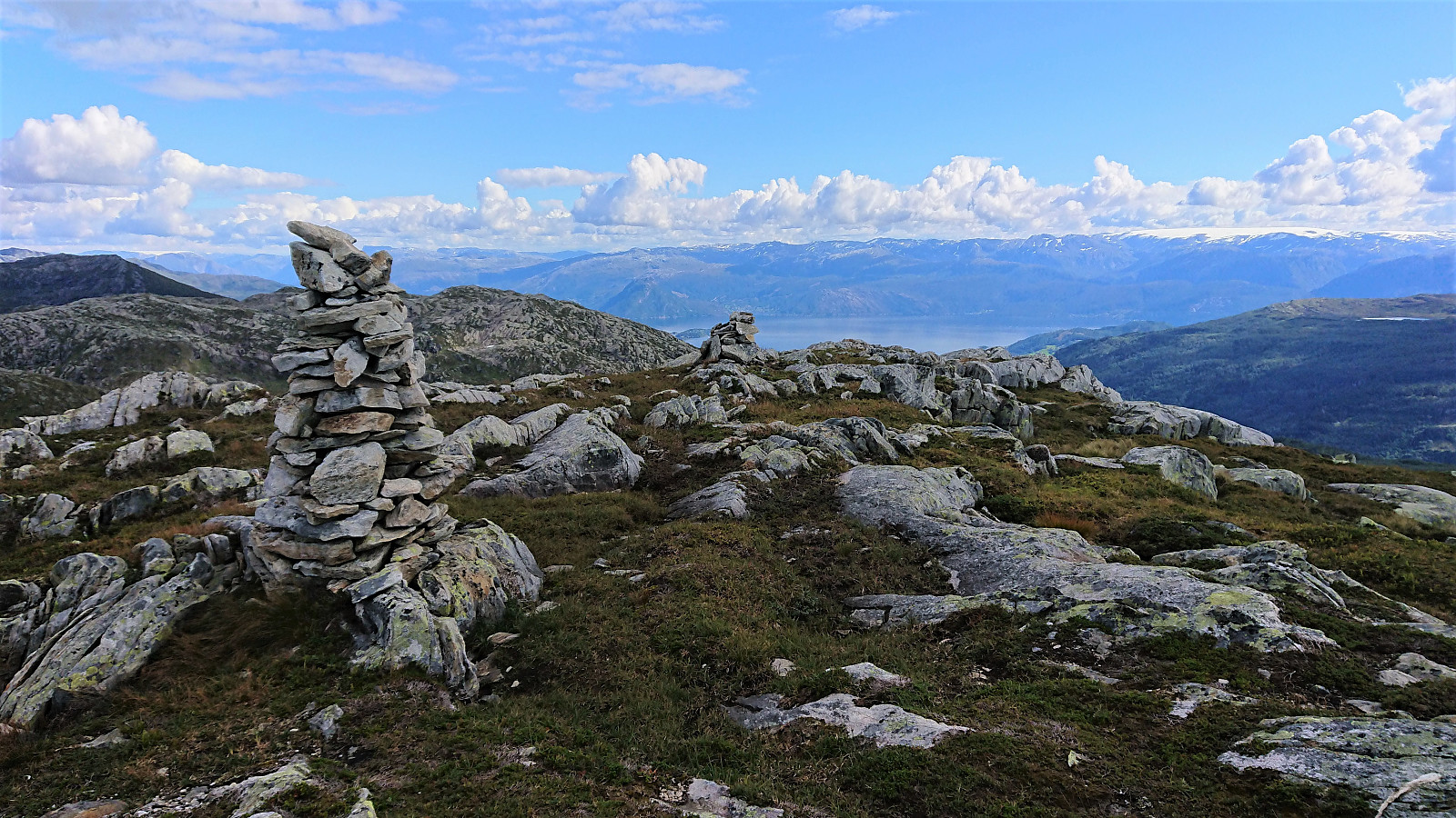
Next, the bridge across Kvennelvi was crossed and after a short stretch on a trail, we followed the gravel road at Øvre Kvernaskogen until it came to an end. Here a weak and wet trail started, that soon connected with the slightly better old trail heading to Byrkjesete. At Byrkjesete, we continued on the unmarked trail up to Storebotnen and up to Sunnvoredalvatnet.
From Sunnvoredalvatnet I continued on my own for a short off-trail detour to the summit of Botnanuten . There were some steep sections to avoid, but overall the ascent was straightforward. >>>
We started from a parking lot next to a cabin my sister and her family were renting for the weekend. After first walking north along the main road for a couple hundred meters, we continued on the gravel road around Kvinnhovden, before taking a wet shortcut to reach Aktiven Skiheis .
Next, the bridge across Kvennelvi was crossed and after a short stretch on a trail, we followed the gravel road at Øvre Kvernaskogen until it came to an end. Here a weak and wet trail started, that soon connected with the slightly better old trail heading to Byrkjesete. At Byrkjesete, we continued on the unmarked trail up to Storebotnen and up to Sunnvoredalvatnet.
From Sunnvoredalvatnet I continued on my own for a short off-trail detour to the summit of Botnanuten . There were some steep sections to avoid, but overall the ascent was straightforward. >>>
Cycling: Eidsvågneset and Fjellveien
- Datum:
- 27.08.2020
- Tourcharakter:
- Fahrradtour Straße
- Tourlänge:
- 1:33h
- Entfernung:
- 22,4km
 Short evening cycling trip.
Ørneberget and Rognåsen
- Datum:
- 25.08.2020
- Tourcharakter:
- Bergtour
- Tourlänge:
- 1:41h
- Entfernung:
- 6,1km
 Local evening hike.
Hellen festning
- Datum:
- 23.08.2020
- Tourcharakter:
- Wanderung
- Tourlänge:
- 1:04h
- Entfernung:
- 5,6km
 Short local hike on the last day of a gray and rainy weekend.
Hellen festning and Furukammen
- Datum:
- 19.08.2020
- Tourcharakter:
- Wanderung
- Tourlänge:
- 1:11h
- Entfernung:
- 5,7km
 Short local evening hike.
