Archiv - Nach Datum
Archiv - Nach Aktivität
-
Andere Tour (3)
- Kayaking (3)
-
Fahrradtour (111)
- Fahrradtour Straße (86)
- Fahrradtour gemischt (25)
-
Fahrzeugtour (9)
- Autotour (9)
-
Fußtour (1897)
- Bergtour (1120)
- Jogging (1)
- Spaziergang (60)
- Wanderung (716)
-
Skitour (116)
- Langlauf (47)
- Tourenskilauf (69)
Gesammelte Listen
-
Utvalgte topper og turmål i Bergen
(349/351)
 99%
99% -
Alle topper i Bergen
(393/400)
98%
-
Voss ≥ 100m pf.
(96/98)
97%
-
Opptur Hordaland
(144/159)
90%
-
Stasjoner på Bergensbanen
(33/40)
82%
-
Ulvik ≥ 100m pf.
(30/38)
78%
-
Hordaland ≥ 100m pf.
(624/863)
72%
-
Mjølfjell PF > 100m
(21/31)
67%
-
Jondal ≥ 100m pf.
(15/23)
65%
-
Dagsturhyttene i Vestland
(36/61)
59%
-
Sunnhordland PF >= 100m
(105/186)
56%
-
Hordaland: Hardanger PF>=100m
(196/359)
54%
-
DNT-hytter i Hordaland
(23/45)
51%
-
Kvinnherad ≥ 100m pf.
(40/79)
50%
-
Eidfjord ≥ 100m pf.
(13/42)
30%
-
Sogndal ≥ 100m pf.
(23/81)
28%
-
Gulen ≥ 100m pf.
(15/54)
27%
-
Vik i Sogn ≥ 100m pf.
(10/46)
21%
-
Sogn - Sør for Sognefjorden PF>=100m
(31/159)
19%
-
DNT-hytter i Sogn og Fjordane
(8/47)
17%

Helleberget
- Datum:
- 16.04.2019
- Tourcharakter:
- Tourenskilauf
- Tourlänge:
- 2:49h
- Entfernung:
- 9,8km
 We followed the marked trail from Rindabotn before taking a shortcut to the cabins east of Helleberget . While the rest of my party enjoyed a longer lunch I made a quick visit to Helleberget on my own before joining them for the descent back down to Rindabotn.
Synnevaskjer from Rindabotn
- Datum:
- 15.04.2019
- Tourcharakter:
- Tourenskilauf
- Tourlänge:
- 5:06h
- Entfernung:
- 22,2km
 I followed the marked ski trail to Høgehaug but turned north just before reaching the summit, passing by the Red Cross cabin Britabu next to Britasteinen, from where I started the real ascent to Synnevaskjer . There were a couple of old tracks in the snow that I could follow, but when the these split I chose the wrong tracks and ended up with a minor detour before finally heading around Vetla Trastadalsvatnet on the northern side as planned.
Upon entering the narrow valley of Trastadalen I was a bit concerned about the overhanging snow on the western side of the valley, but thankfully there was much less snow on the eastern side and I thus made it to Store Trastadalsvatnet without any issues. But clearly a spot to watch out for if visiting under more challenging conditions!
With the most uncertain section of the route out >>>
I followed the marked ski trail to Høgehaug but turned north just before reaching the summit, passing by the Red Cross cabin Britabu next to Britasteinen, from where I started the real ascent to Synnevaskjer . There were a couple of old tracks in the snow that I could follow, but when the these split I chose the wrong tracks and ended up with a minor detour before finally heading around Vetla Trastadalsvatnet on the northern side as planned.
Upon entering the narrow valley of Trastadalen I was a bit concerned about the overhanging snow on the western side of the valley, but thankfully there was much less snow on the eastern side and I thus made it to Store Trastadalsvatnet without any issues. But clearly a spot to watch out for if visiting under more challenging conditions!
With the most uncertain section of the route out >>>
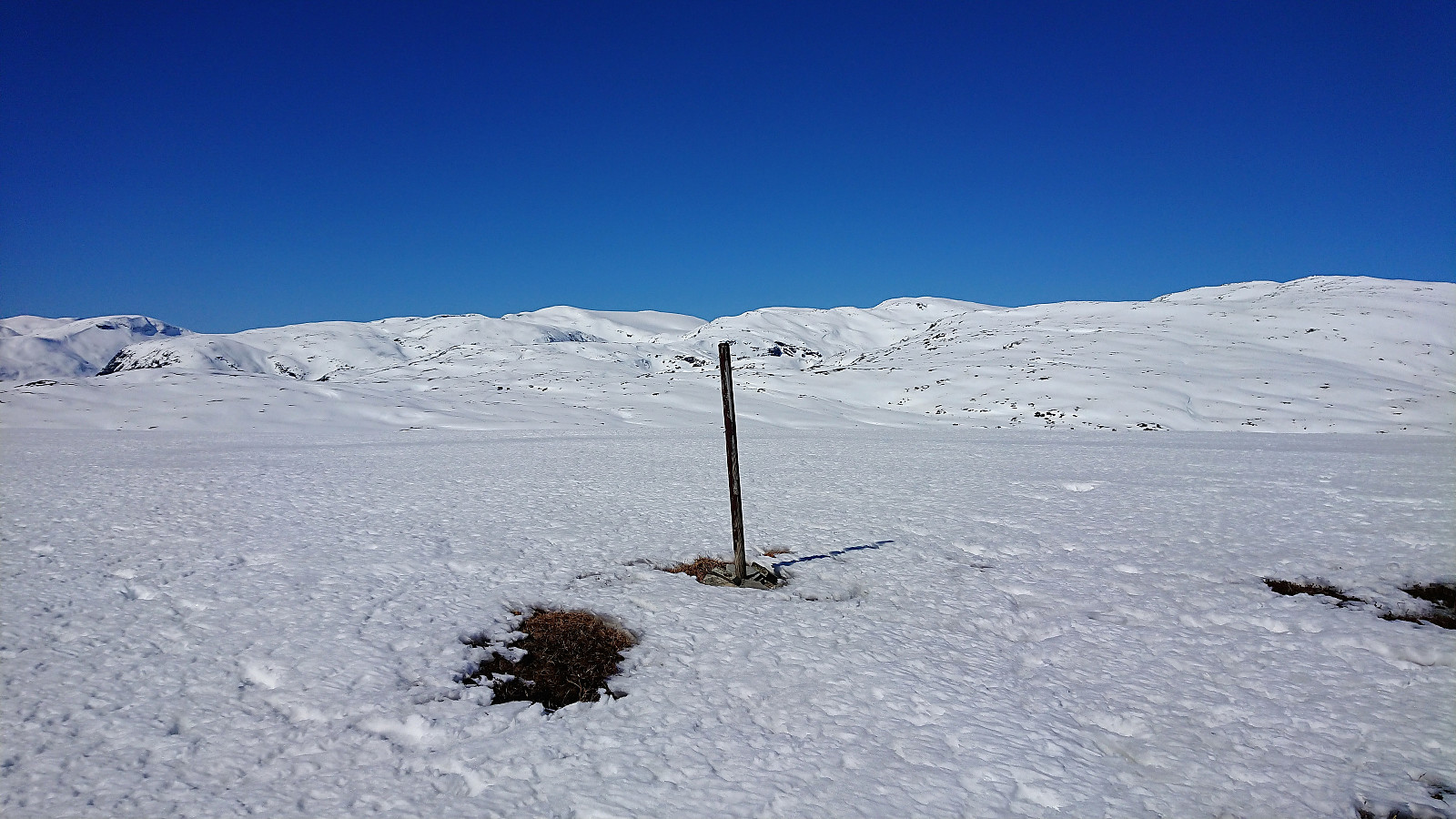
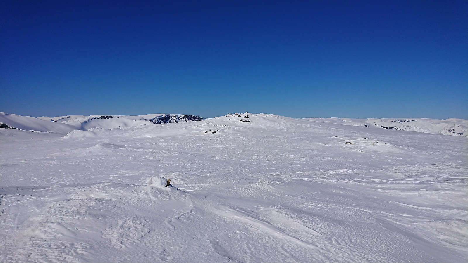
Dyrhovden
- Datum:
- 14.04.2019
- Tourcharakter:
- Tourenskilauf
- Tourlänge:
- 3:50h
- Entfernung:
- 14,1km
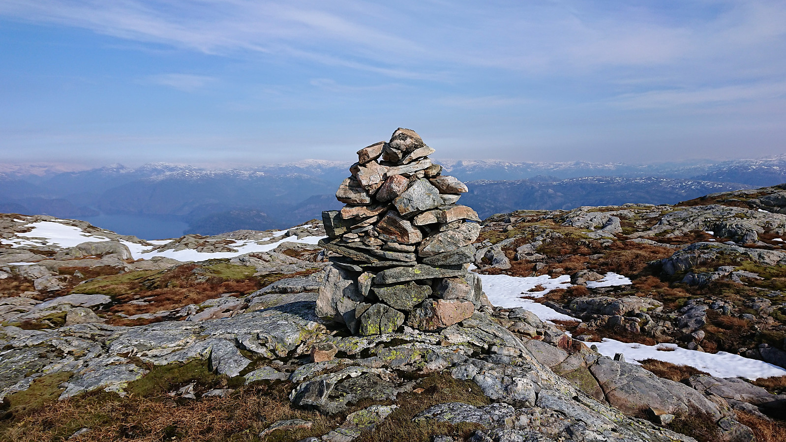
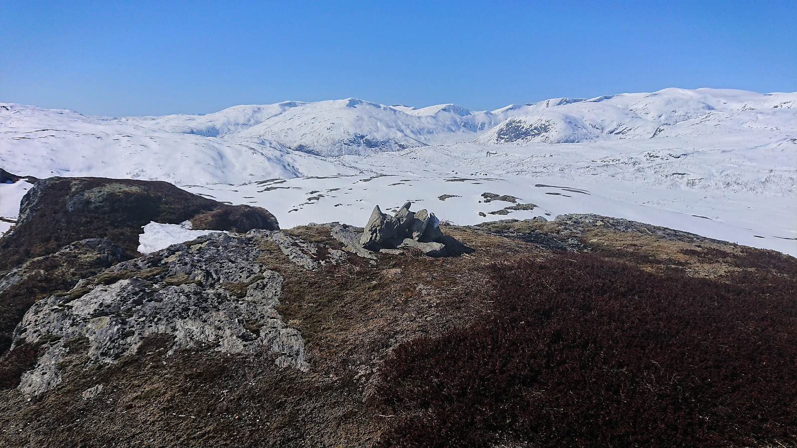 Started on the marked trail from Rindabotn but soon took a shortcut up to Skavasshaugane before reconnecting with the trail until reaching the cabins south of Reppanipa . From there we more or less followed the ridge towards Dyrhovden . The trig marker east of the summit had fallen down and the remains were only partly visible from the south. After a quick lunch at the summit we followed the same route back down to Rindabotn.
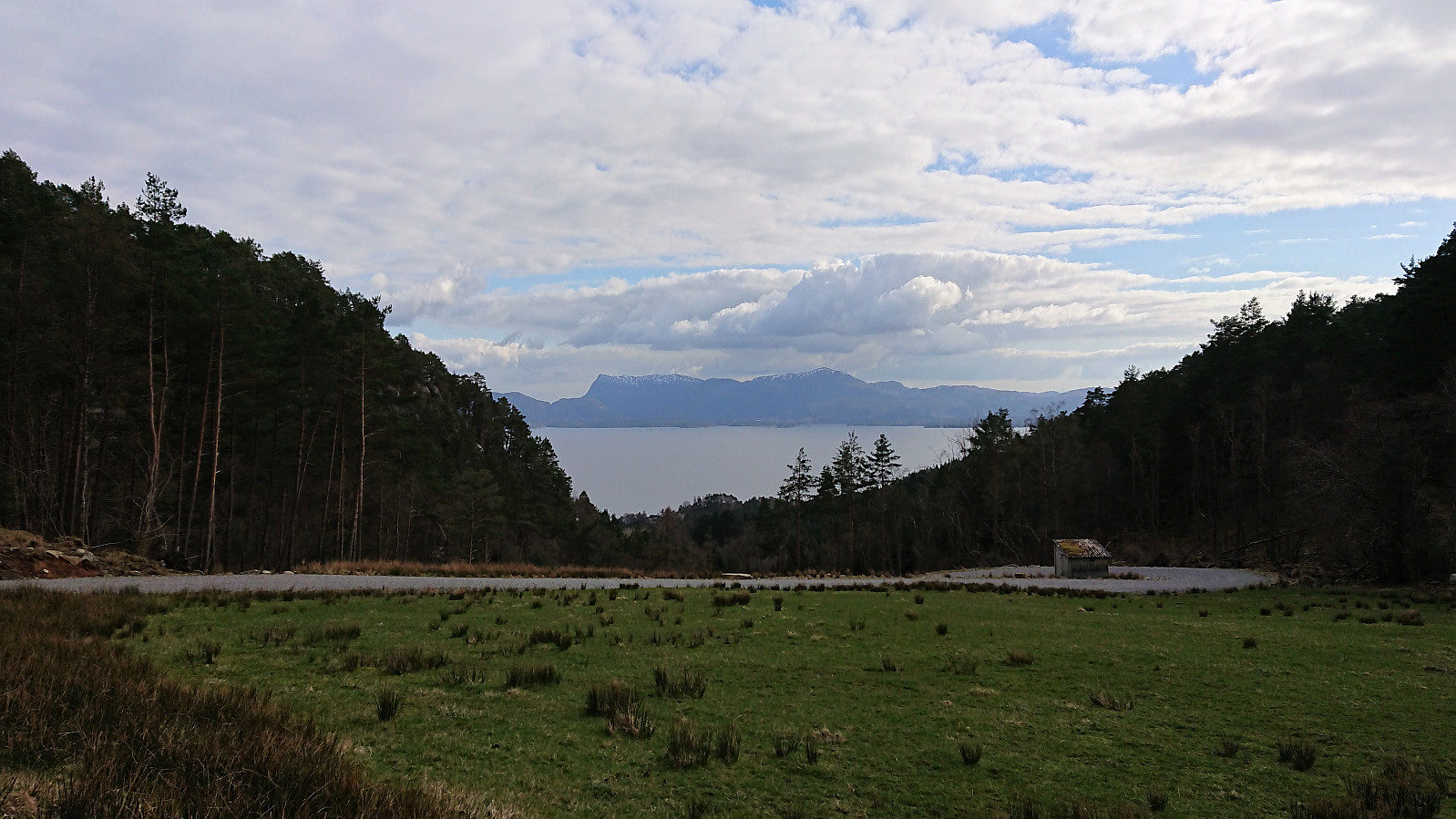
Barsnesfjorden
- Datum:
- 13.04.2019
- Tourcharakter:
- Wanderung
- Tourlänge:
- 0:54h
- Entfernung:
- 4,4km
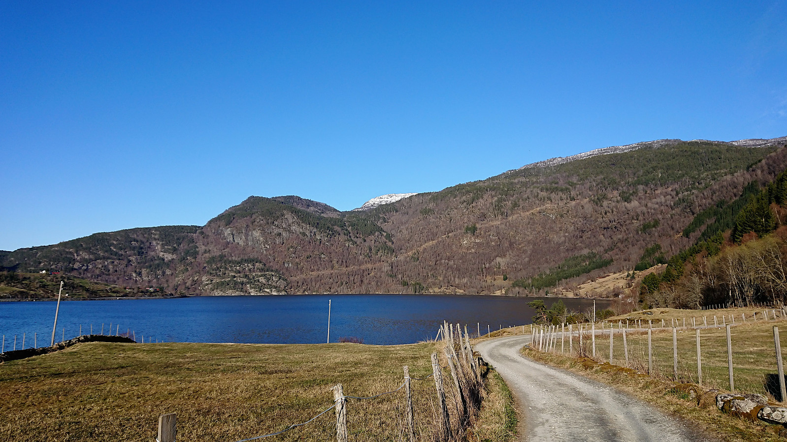 Short walk along Barsnesfjorden at the start of the Easter holiday.
(Note that the road this hike follows is private, i.e. no cars allowed. There are however a couple of parking spaces down by the small wharf along Barsnesfjorden just before the road turns west and starts climbing slightly towards the crossroads at Barsnes.)
Short walk along Barsnesfjorden at the start of the Easter holiday.
(Note that the road this hike follows is private, i.e. no cars allowed. There are however a couple of parking spaces down by the small wharf along Barsnesfjorden just before the road turns west and starts climbing slightly towards the crossroads at Barsnes.)
Haukeland sykehus to Koengen
- Datum:
- 12.04.2019
- Tourcharakter:
- Spaziergang
- Tourlänge:
- 0:55h
- Entfernung:
- 5,0km
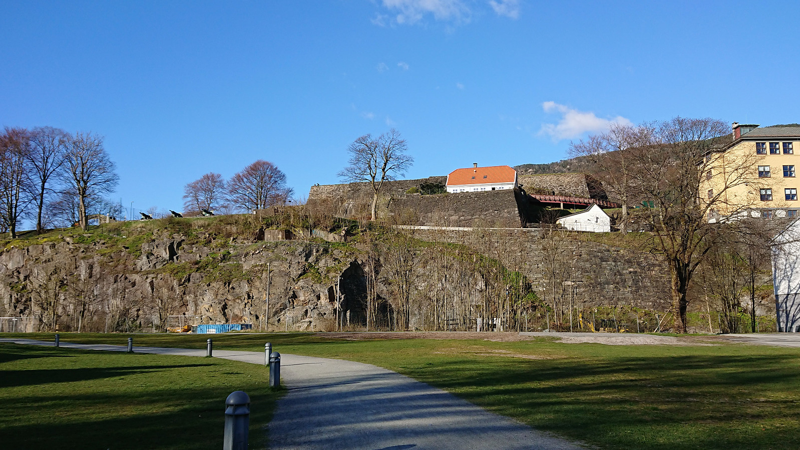 Another short walk on the way home from work.
Snøkkja
- Datum:
- 10.04.2019
- Tourcharakter:
- Bergtour
- Tourlänge:
- 1:28h
- Entfernung:
- 7,1km
 After giving a talk at a meeting at Solstrand, I took advantage of already being in Os to make a quick visit to Snøkkja . Hopped on a bus to the ferry at Hatvik, and after crossing the fjord, continued on another bus to Skåte. I then walked back along the road to the gravel road to Skåtavatnet, where the gravel road turned into a tractor road, and soon into a trail. The road/trail forked several times, and with no signs for Snøkkja (or Snøkkjo which seemed to be the local name), but there were other signs, including several for Dallandsstølane, that could be followed instead.
At Dallandsstølane, or rather slightly northeast of Dallandsstølane, I was again on a gravel road, which I followed all the way to the marked trailhead for Snøkkja. Note that the trail can be easy to miss if coming from >>>
After giving a talk at a meeting at Solstrand, I took advantage of already being in Os to make a quick visit to Snøkkja . Hopped on a bus to the ferry at Hatvik, and after crossing the fjord, continued on another bus to Skåte. I then walked back along the road to the gravel road to Skåtavatnet, where the gravel road turned into a tractor road, and soon into a trail. The road/trail forked several times, and with no signs for Snøkkja (or Snøkkjo which seemed to be the local name), but there were other signs, including several for Dallandsstølane, that could be followed instead.
At Dallandsstølane, or rather slightly northeast of Dallandsstølane, I was again on a gravel road, which I followed all the way to the marked trailhead for Snøkkja. Note that the trail can be easy to miss if coming from >>>
Haukeland sykehus to Sandvikstorget
- Datum:
- 08.04.2019
- Tourcharakter:
- Wanderung
- Tourlänge:
- 0:59h
- Entfernung:
- 5,4km
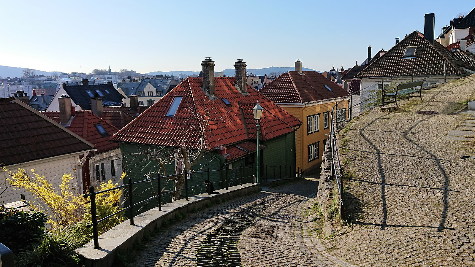 Another short walk on the way home from work.
Skuteviken to Lønborg
- Datum:
- 07.04.2019
- Tourcharakter:
- Wanderung
- Tourlänge:
- 2:04h
- Entfernung:
- 8,2km
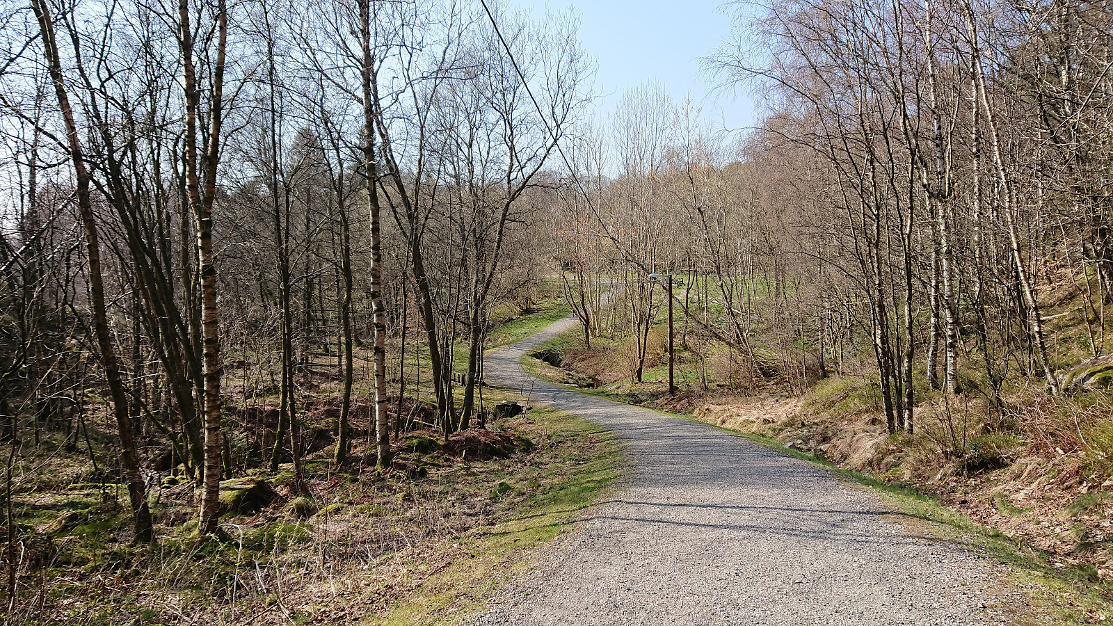 Short local hike from Skuteviken to Lønborg after yesterday's extended hike.
Husdalsfjellet and Hiklettane - roundtrip
- Datum:
- 06.04.2019
- Tourcharakter:
- Bergtour
- Tourlänge:
- 6:46h
- Entfernung:
- 24,3km
 Started by taking the bus to Bjørsvik (bus stop called "Bjørsvik kryss") and from there continuing along the main road for about 100 meters until following the road toward Molvik. Did not stay long on this road though before switching to the very nice gravel road up to Husdalen. (Note that the gravel road is blocked with a locked gate at the very start, but there are a couple of possible parking locations in the area.)
Upon arriving in Husdalen I asked for directions and thus easily located the start of the unmarked trailhead for Husdalsfjellet . The directions were as follows: head for the last small house to the north and from there continue upwards to the right of the pine forest. I did as suggested, and shortly found myself on a rather steep trail which soon consisted of numerous old stone >>>
Started by taking the bus to Bjørsvik (bus stop called "Bjørsvik kryss") and from there continuing along the main road for about 100 meters until following the road toward Molvik. Did not stay long on this road though before switching to the very nice gravel road up to Husdalen. (Note that the gravel road is blocked with a locked gate at the very start, but there are a couple of possible parking locations in the area.)
Upon arriving in Husdalen I asked for directions and thus easily located the start of the unmarked trailhead for Husdalsfjellet . The directions were as follows: head for the last small house to the north and from there continue upwards to the right of the pine forest. I did as suggested, and shortly found myself on a rather steep trail which soon consisted of numerous old stone >>>
Oeiras to Paco de Arcos
- Datum:
- 03.04.2019
- Tourcharakter:
- Spaziergang
- Entfernung:
- 3,2km
 Repeat of yesterday's walk from Instituto Gulbenkian de Ciência in Oeiras to Paco de Arcos in Portugal.
