Archiv - Nach Datum
Archiv - Nach Aktivität
-
Andere Tour (3)
- Kayaking (3)
-
Fahrradtour (111)
- Fahrradtour Straße (86)
- Fahrradtour gemischt (25)
-
Fahrzeugtour (9)
- Autotour (9)
-
Fußtour (1897)
- Bergtour (1120)
- Jogging (1)
- Spaziergang (60)
- Wanderung (716)
-
Skitour (116)
- Langlauf (47)
- Tourenskilauf (69)
Gesammelte Listen
-
Utvalgte topper og turmål i Bergen
(349/351)
 99%
99% -
Alle topper i Bergen
(393/400)
98%
-
Voss ≥ 100m pf.
(96/98)
97%
-
Opptur Hordaland
(144/159)
90%
-
Stasjoner på Bergensbanen
(33/40)
82%
-
Ulvik ≥ 100m pf.
(30/38)
78%
-
Hordaland ≥ 100m pf.
(624/863)
72%
-
Mjølfjell PF > 100m
(21/31)
67%
-
Jondal ≥ 100m pf.
(15/23)
65%
-
Dagsturhyttene i Vestland
(36/61)
59%
-
Sunnhordland PF >= 100m
(105/186)
56%
-
Hordaland: Hardanger PF>=100m
(196/359)
54%
-
DNT-hytter i Hordaland
(23/45)
51%
-
Kvinnherad ≥ 100m pf.
(40/79)
50%
-
Eidfjord ≥ 100m pf.
(13/42)
30%
-
Sogndal ≥ 100m pf.
(23/81)
28%
-
Gulen ≥ 100m pf.
(15/54)
27%
-
Vik i Sogn ≥ 100m pf.
(10/46)
21%
-
Sogn - Sør for Sognefjorden PF>=100m
(31/159)
19%
-
DNT-hytter i Sogn og Fjordane
(8/47)
17%

Oeiras to Paco de Arcos
- Datum:
- 31.05.2018
- Tourcharakter:
- Spaziergang
- Tourlänge:
- 1:00h
- Entfernung:
- 3,6km
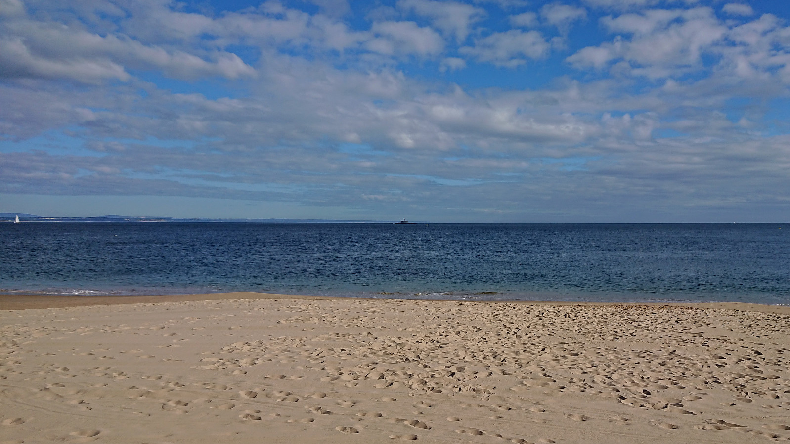 Short walk from Instituto Gulbenkian de Ciência in Oeiras to Paco de Arcos while teaching at a course in Portugal.
Across Hellen festning
- Datum:
- 27.05.2018
- Tourcharakter:
- Wanderung
- Tourlänge:
- 0:30h
- Entfernung:
- 3,1km
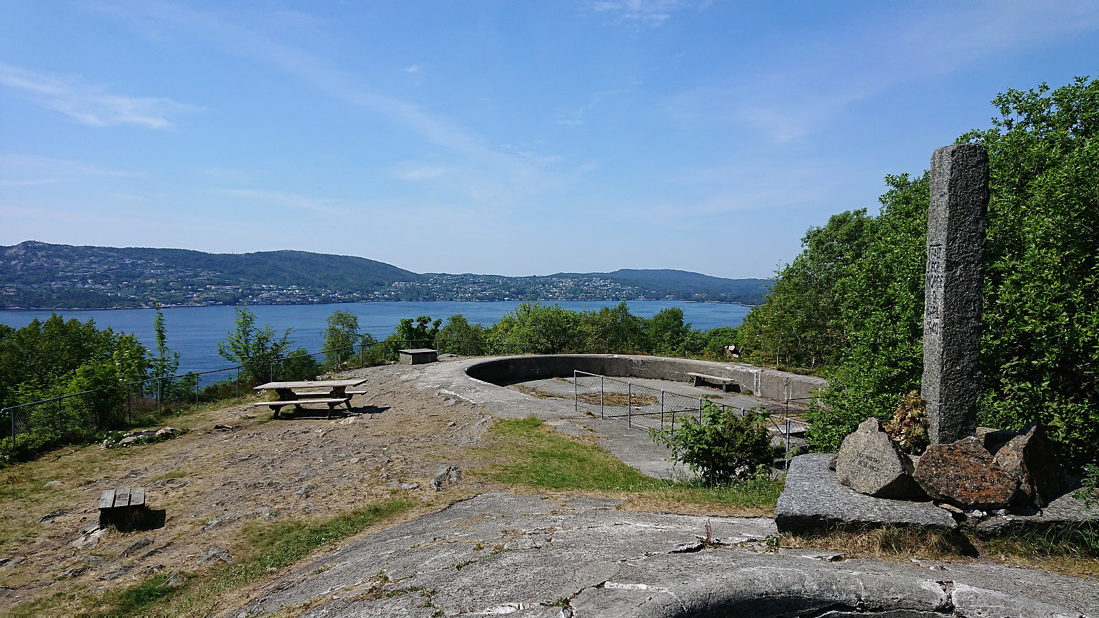 Short local hike across Hellen festning.
Eggene
- Datum:
- 26.05.2018
- Tourcharakter:
- Bergtour
- Tourlänge:
- 1:55h
- Entfernung:
- 5,6km
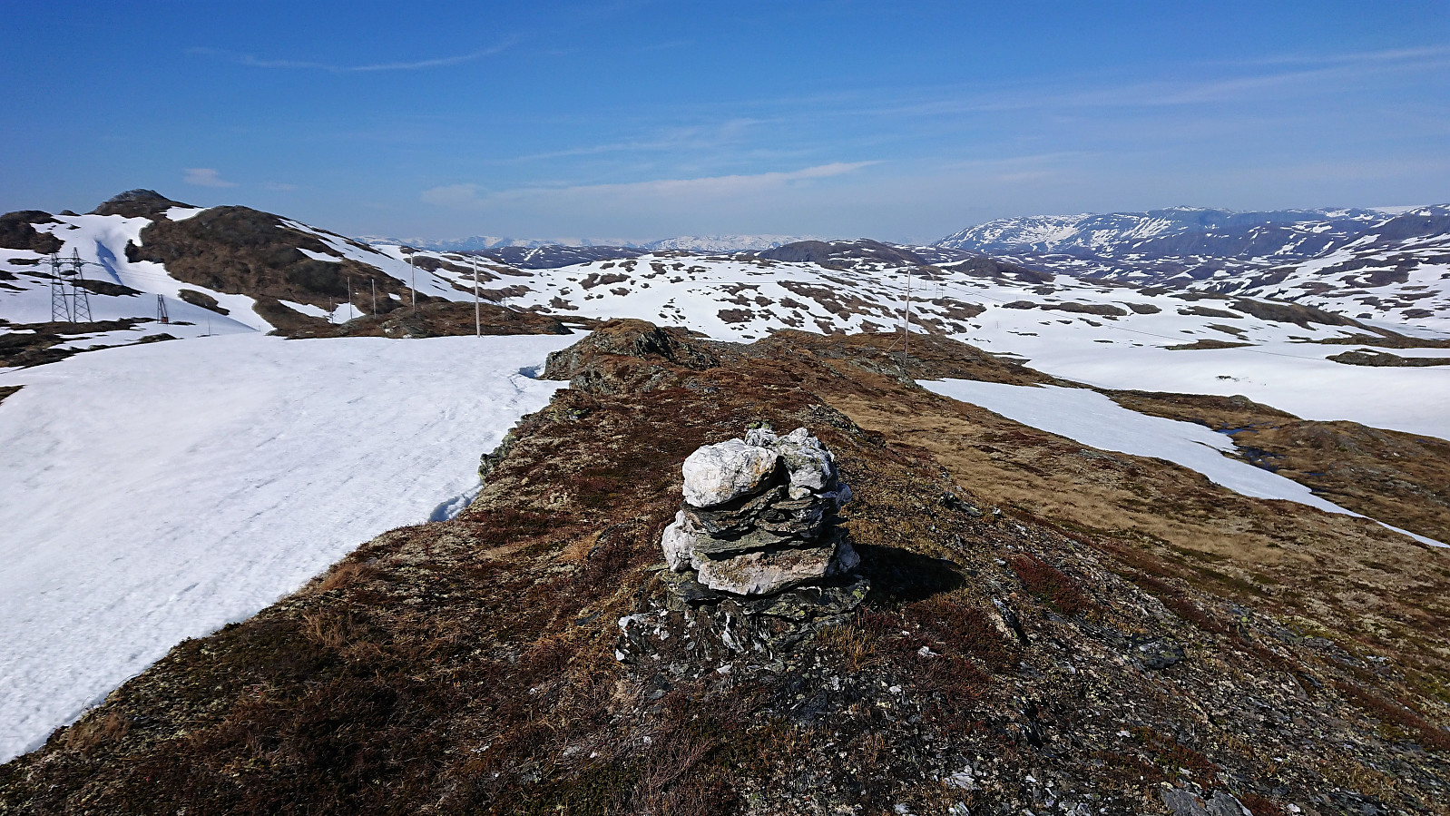
 After Runemb (Rune Blomberg) recent addition of a new peak on the Bergen ≥ 50m pf. og ≥ 100 m.o.h. list , there was nothing to do but make a new hike to recomplete the list.
Started by taking the bus to Bahus and following Engevikvegen northeast until reaching the lake at Engevik. No trails, but there were lots of deer tracks that could be followed to simplify the ascent. After the first relatively steep 100 meters it was straightforward to follow the ridge towards the summit with the terrain being more open than expected.
This changed towards the end, where there were lots of medium high bushes. To avoid the densest area I went slightly north of the ridge and there happened upon a trig marker which also provided the best views of the hike. From the trig marker the summit was easily reached, but provided only limited views. Did not stay long before following more or >>>
After Runemb (Rune Blomberg) recent addition of a new peak on the Bergen ≥ 50m pf. og ≥ 100 m.o.h. list , there was nothing to do but make a new hike to recomplete the list.
Started by taking the bus to Bahus and following Engevikvegen northeast until reaching the lake at Engevik. No trails, but there were lots of deer tracks that could be followed to simplify the ascent. After the first relatively steep 100 meters it was straightforward to follow the ridge towards the summit with the terrain being more open than expected.
This changed towards the end, where there were lots of medium high bushes. To avoid the densest area I went slightly north of the ridge and there happened upon a trig marker which also provided the best views of the hike. From the trig marker the summit was easily reached, but provided only limited views. Did not stay long before following more or >>>
Across Hellen festning
- Datum:
- 23.05.2018
- Tourcharakter:
- Wanderung
- Tourlänge:
- 0:40h
- Entfernung:
- 3,7km
 Short local hike across Hellen festning after work.
Skjelingahaugen
- Datum:
- 21.05.2018
- Tourcharakter:
- Tourenskilauf
- Tourlänge:
- 1:23h
- Entfernung:
- 4,7km
 Short skiing trip at Vikafjellet on the way home to Bergen from Sogndal. Not the best skiing conditions, and plenty of areas without little or no snow (including the summit), but still quite enjoyable and a welcomed break from the driving.
Solvornnipa from Barsnesfjorden
- Datum:
- 20.05.2018
- Tourcharakter:
- Bergtour
- Tourlänge:
- 4:35h
- Entfernung:
- 12,0km
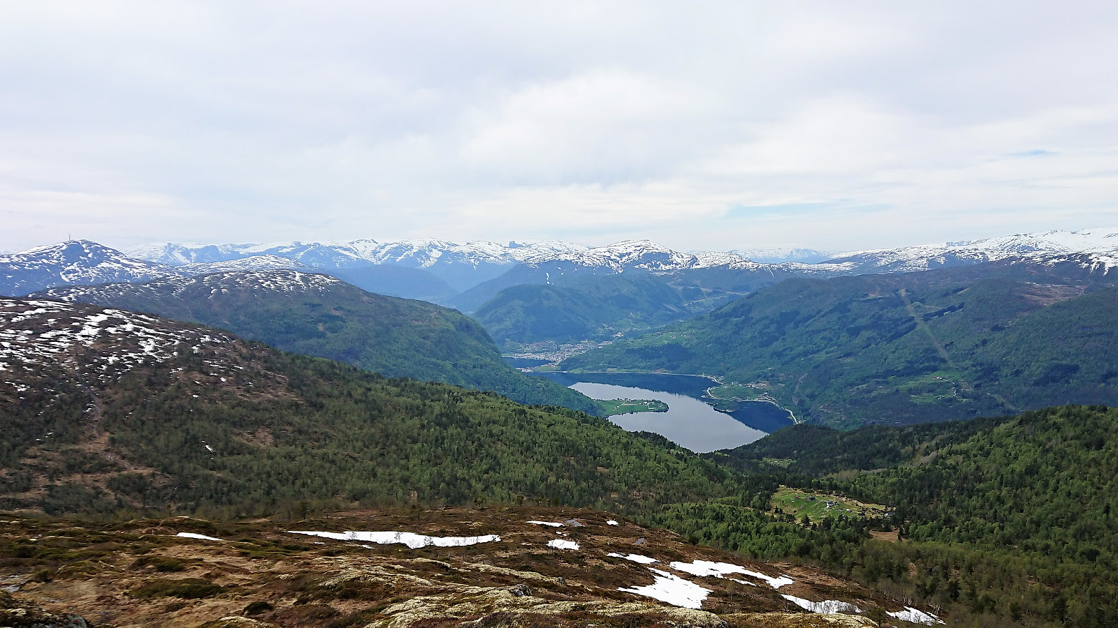 Started from the private parking lot at the end of the gravel road on the south side of Barsnesfjorden. Followed the marked trail via Dal and Helgasete all the way to Solvornnipa . The trail was overall easy to follow and most of the snow was gone, except for 3-4 short stretches close to the summit. A slight haze made for slightly reduced views. After a quick lunch at the summit, I returned via the same route.
Note that the road to where the trail starts is private, i.e. no cars allowed. There are however a couple of parking spaces down by the small wharf along Barsnesfjorden just before the road turns west and starts climbing slightly towards the crossroads at Barsnes.
Started from the private parking lot at the end of the gravel road on the south side of Barsnesfjorden. Followed the marked trail via Dal and Helgasete all the way to Solvornnipa . The trail was overall easy to follow and most of the snow was gone, except for 3-4 short stretches close to the summit. A slight haze made for slightly reduced views. After a quick lunch at the summit, I returned via the same route.
Note that the road to where the trail starts is private, i.e. no cars allowed. There are however a couple of parking spaces down by the small wharf along Barsnesfjorden just before the road turns west and starts climbing slightly towards the crossroads at Barsnes.
Flot
- Datum:
- 19.05.2018
- Tourcharakter:
- Bergtour
- Tourlänge:
- 1:10h
- Entfernung:
- 3,7km
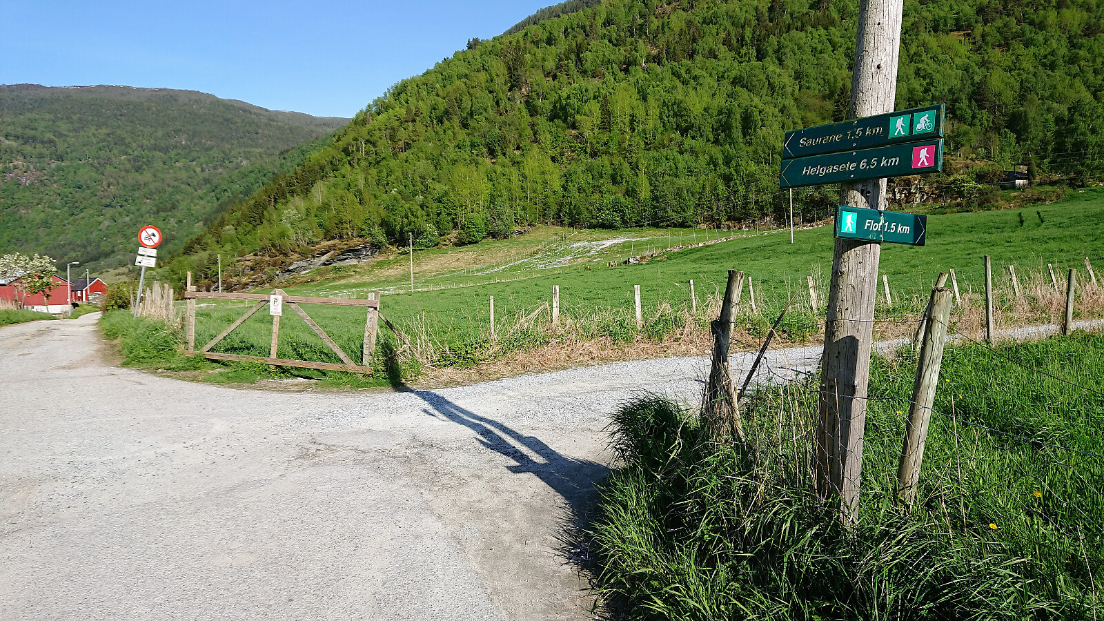 Short hike to Flot following the marked trail on the ascent and the tractor road down to Barsnesfjorden on the descent.
Note that there is no parking where the trail starts. There are however a couple of parking spaces down by the small wharf along Barsnesfjorden just before the road turns west and starts climbing slightly towards the crossroads at Barsnes.
Short hike to Flot following the marked trail on the ascent and the tractor road down to Barsnesfjorden on the descent.
Note that there is no parking where the trail starts. There are however a couple of parking spaces down by the small wharf along Barsnesfjorden just before the road turns west and starts climbing slightly towards the crossroads at Barsnes.
Havstadfjellet
- Datum:
- 18.05.2018
- Tourcharakter:
- Wanderung
- Tourlänge:
- 2:07h
- Entfernung:
- 8,6km
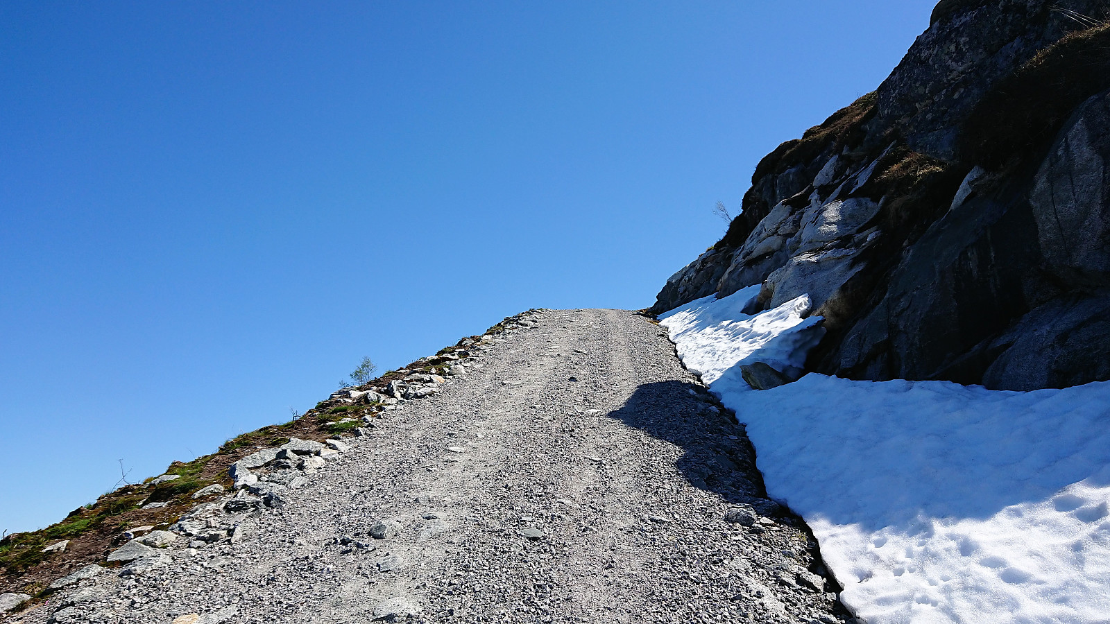 I was dropped off at Havstad and from there found the shortest route to the start of the gravel road to Havstadfjellet. The gravel road quickly became very steep, much steeper than expected, and, besides two or three short stretches, it pretty much stayed that way all the way to the top. By far the steepest gravel road I've hiked. As I progressed upwards the views continued to expand, ending in a spectacular 360-degree view from the summit, especially nice at this time of the year with snow at the top of the mountains.
After numerous pictures, I started my descent to Bruland, now on a more regular gravel road, but still with excellent views along the way. Towards the end I came across, and almost stepped on, a viper positioned in the middle of the road. The second viper I've almost stepped on >>>
I was dropped off at Havstad and from there found the shortest route to the start of the gravel road to Havstadfjellet. The gravel road quickly became very steep, much steeper than expected, and, besides two or three short stretches, it pretty much stayed that way all the way to the top. By far the steepest gravel road I've hiked. As I progressed upwards the views continued to expand, ending in a spectacular 360-degree view from the summit, especially nice at this time of the year with snow at the top of the mountains.
After numerous pictures, I started my descent to Bruland, now on a more regular gravel road, but still with excellent views along the way. Towards the end I came across, and almost stepped on, a viper positioned in the middle of the road. The second viper I've almost stepped on >>>
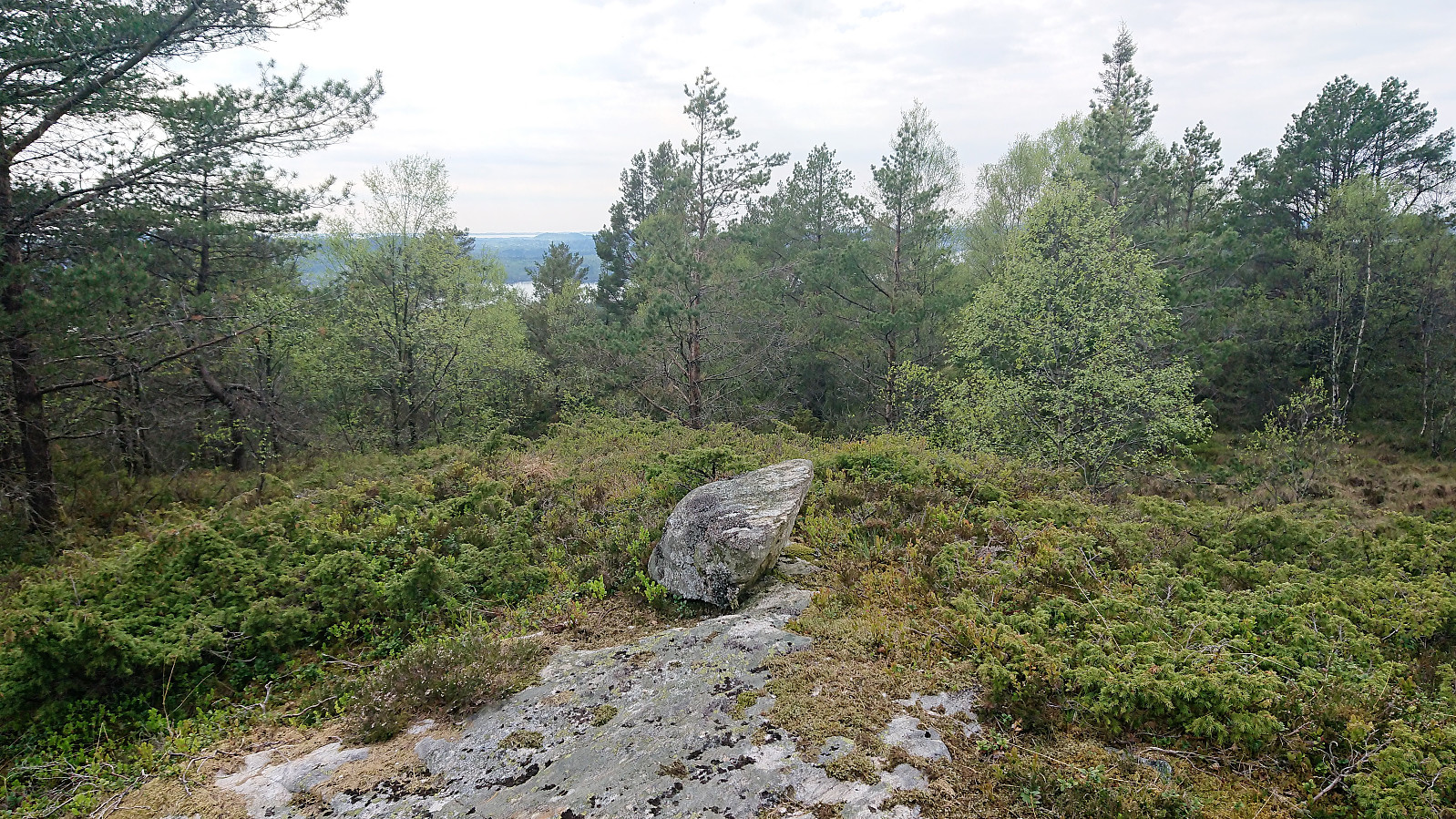
Stedjeåsen
- Datum:
- 17.05.2018
- Tourcharakter:
- Bergtour
- Tourlänge:
- 2:32h
- Entfernung:
- 7,7km
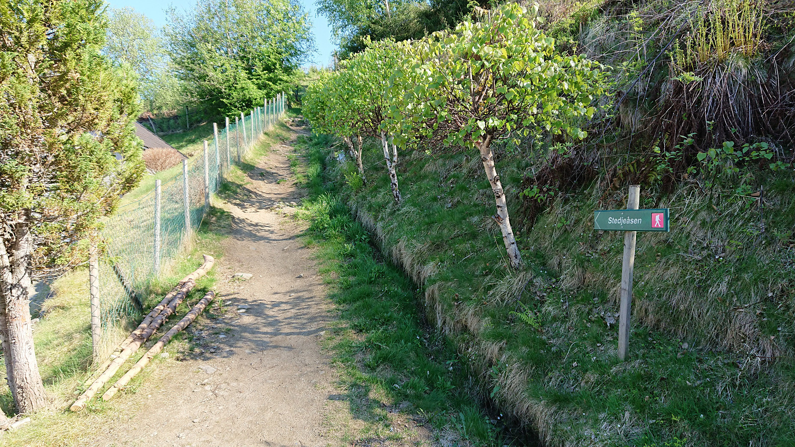 Short hike from the center of Sogndal to Stedjeåsen and back, along the nice marked trail. This time also visiting the highest point, which provided very limited views and can probably be skipped by most hikers. Note that there are no trails from the visitor register to the highest point.
Skausnøya, Fjellsbøheia, Selifjellet and Grimstadfjellet
- Datum:
- 13.05.2018
- Tourcharakter:
- Bergtour
- Tourlänge:
- 5:23h
- Entfernung:
- 15,2km
 Started by taking the bus to Våge and trying to locate the trailhead for Skausnøya . My path was however immediately blocked by a logging area and huge stacks of logs. As I did not want to enter the backyard of the only house at the end of the short road, and given that I did not know how large the logging area would be, I decided to look for an alternative path, after first looking around for other hikers or locals to ask for directions.
I ended up with a roughly 1 km detour via a tractor road coming down from the north, with half of that distance being along the main road, before finally connecting with the trail. Only to notice that I had been less than 100 meters from where the trail started on the opposite side of the stacked logs. And given that my detour actually took me through the logging area >>>
Started by taking the bus to Våge and trying to locate the trailhead for Skausnøya . My path was however immediately blocked by a logging area and huge stacks of logs. As I did not want to enter the backyard of the only house at the end of the short road, and given that I did not know how large the logging area would be, I decided to look for an alternative path, after first looking around for other hikers or locals to ask for directions.
I ended up with a roughly 1 km detour via a tractor road coming down from the north, with half of that distance being along the main road, before finally connecting with the trail. Only to notice that I had been less than 100 meters from where the trail started on the opposite side of the stacked logs. And given that my detour actually took me through the logging area >>>
