Archiv - Nach Datum
Archiv - Nach Aktivität
-
Andere Tour (3)
- Kayaking (3)
-
Fahrradtour (108)
- Fahrradtour Straße (83)
- Fahrradtour gemischt (25)
-
Fahrzeugtour (9)
- Autotour (9)
-
Fußtour (1844)
- Bergtour (1093)
- Jogging (1)
- Spaziergang (55)
- Wanderung (695)
-
Skitour (113)
- Langlauf (46)
- Tourenskilauf (67)
Gesammelte Listen
-
Utvalgte topper og turmål i Bergen
(343/344)
 99%
99% -
Alle topper i Bergen
(390/397)
98%
-
Voss ≥ 100m pf.
(96/98)
97%
-
Opptur Hordaland
(144/159)
90%
-
Stasjoner på Bergensbanen
(31/40)
77%
-
Ulvik ≥ 100m pf.
(28/38)
73%
-
Hordaland ≥ 100m pf.
(617/863)
71%
-
Mjølfjell PF > 100m
(21/31)
67%
-
Jondal ≥ 100m pf.
(15/23)
65%
-
Sunnhordland PF >= 100m
(105/186)
56%
-
Dagsturhyttene i Vestland
(33/61)
54%
-
Hordaland: Hardanger PF>=100m
(189/359)
52%
-
DNT-hytter i Hordaland
(23/45)
51%
-
Kvinnherad ≥ 100m pf.
(40/79)
50%
-
Sogndal ≥ 100m pf.
(23/81)
28%
-
Eidfjord ≥ 100m pf.
(10/42)
23%
-
Vik i Sogn ≥ 100m pf.
(10/46)
21%
-
Gulen ≥ 100m pf.
(10/54)
18%
-
DNT-hytter i Sogn og Fjordane
(8/47)
17%
-
Sogn - Sør for Sognefjorden PF>=100m
(26/159)
16%

Across Hellen festning
- Datum:
- 05.01.2020
- Tourcharakter:
- Wanderung
- Tourlänge:
- 0:35h
- Entfernung:
- 3,1km
 Short local hike in constant heavy rain.
Fløyen
- Datum:
- 04.01.2020
- Tourcharakter:
- Bergtour
- Tourlänge:
- 2:43h
- Entfernung:
- 13,5km
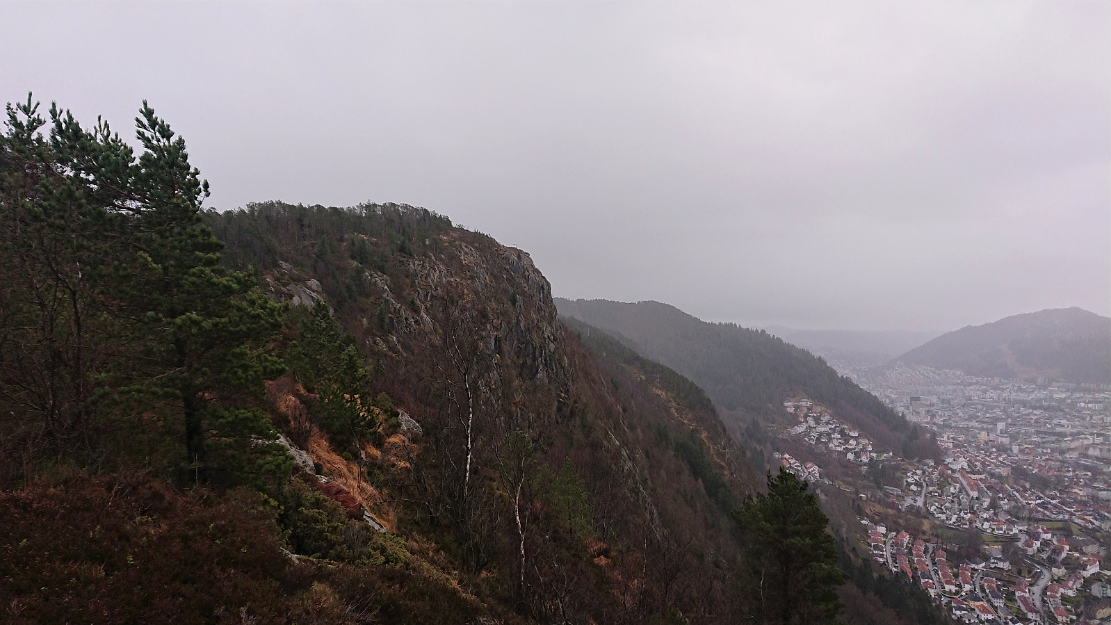
 Hike on a snow-covered Fløyen with some excellent views along the way.
Stoltzekleiven and Sandviksfjellet
- Datum:
- 01.01.2020
- Tourcharakter:
- Bergtour
- Tourlänge:
- 1:49h
- Entfernung:
- 8,8km
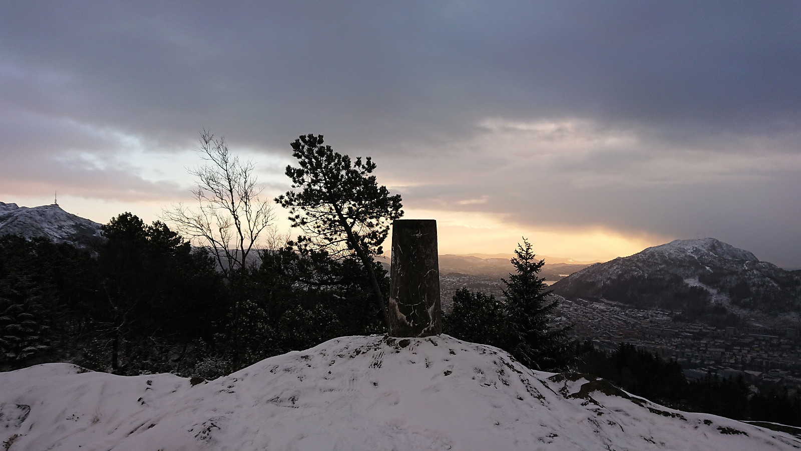
 Started the year by a hike up Stoltzekleiven . Made it to the top in exactly 16 minutes. After catching my breath, I continued south to the summit of Sandviksfjellet , before following the gravel road home to Lønborg.
Sandviksbatteriet and Sandvikspilen
- Datum:
- 31.12.2019
- Tourcharakter:
- Bergtour
- Tourlänge:
- 2:57h
- Entfernung:
- 11,3km
 Another local hike. This time to Sandviksbatteriet and Sandvikspilen.
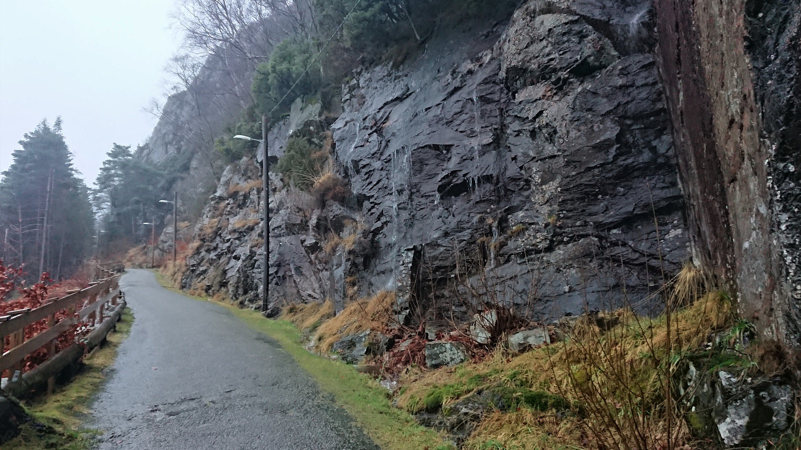
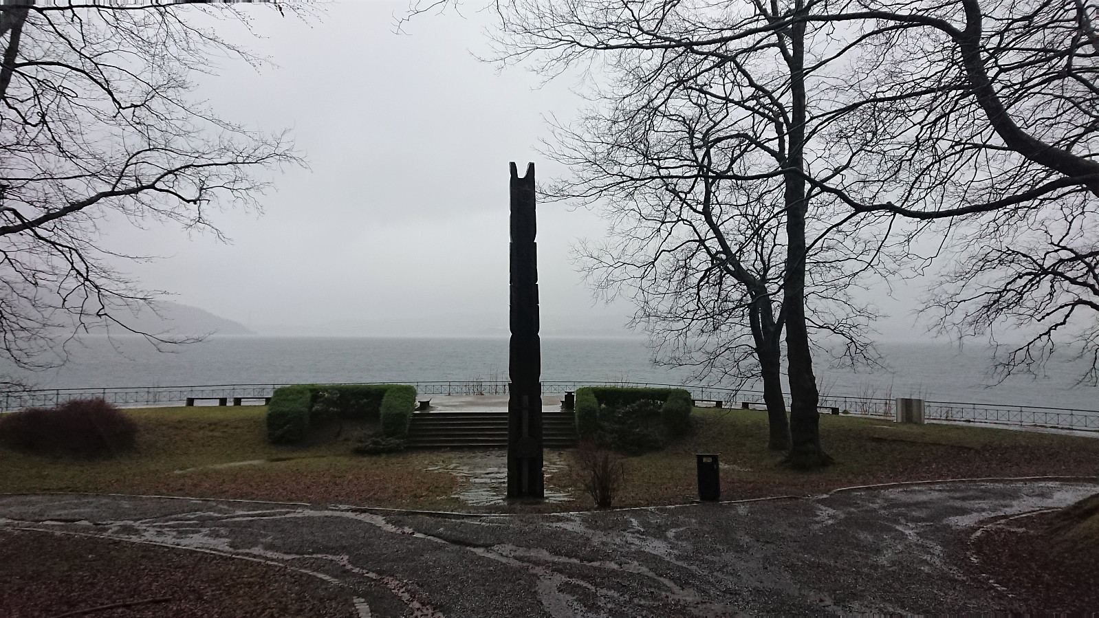
Across Hellen festning
- Datum:
- 30.12.2019
- Tourcharakter:
- Wanderung
- Tourlänge:
- 0:34h
- Entfernung:
- 3,2km
 Short local hike across Hellen festning.
Nordnes
- Datum:
- 29.12.2019
- Tourcharakter:
- Spaziergang
- Tourlänge:
- 1:06h
- Entfernung:
- 6,0km
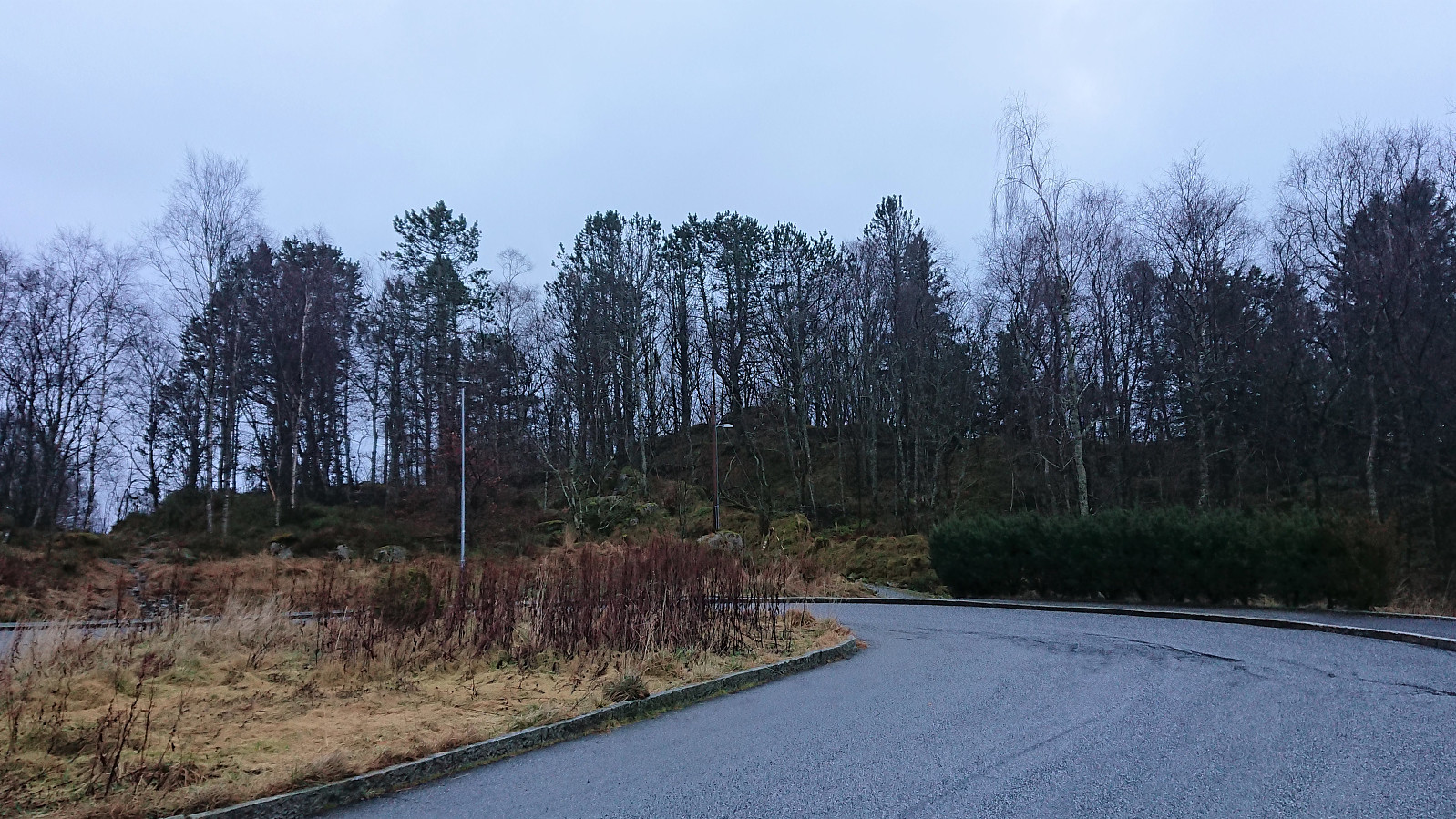
 The weather did not lend itself to proper hiking today, so I ended up with a walk at Nordnes instead.
Fagerdalsfjellet, Ørneberget and Hellen festning
- Datum:
- 28.12.2019
- Tourcharakter:
- Bergtour
- Tourlänge:
- 1:18h
- Entfernung:
- 5,4km
 Short local hike on a gray and rainy day.
Tennebekktjernet
- Datum:
- 27.12.2019
- Tourcharakter:
- Wanderung
- Tourlänge:
- 1:09h
- Entfernung:
- 5,9km
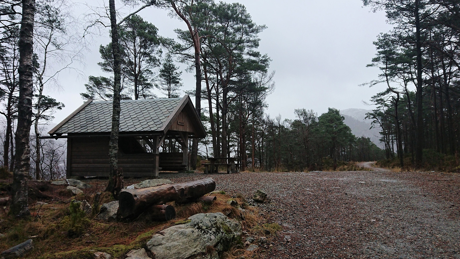
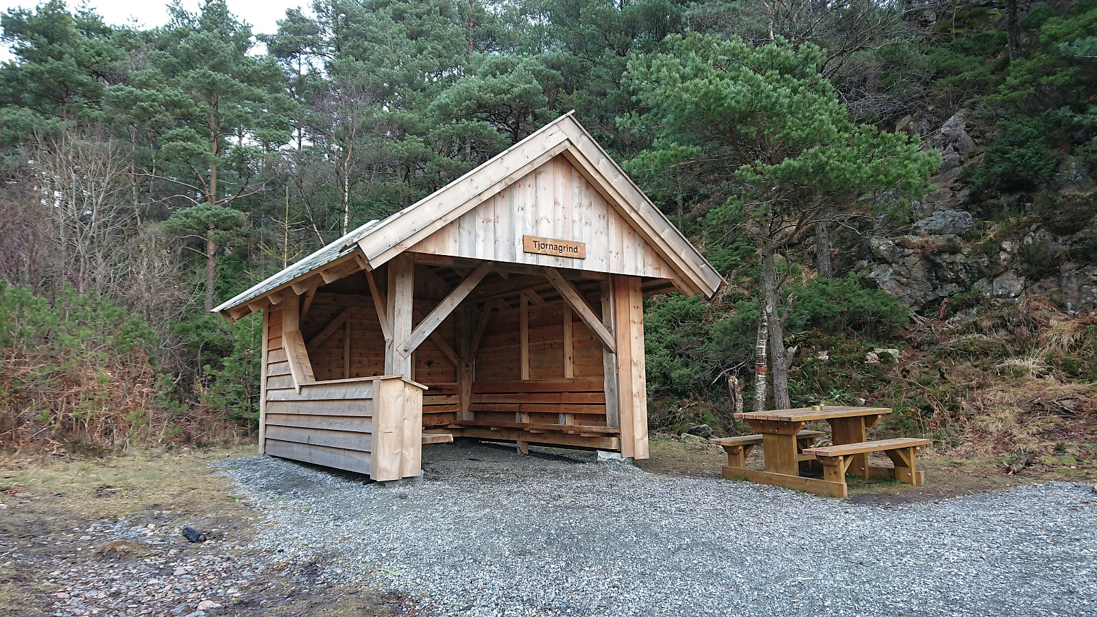 Short hike in the area around Tennebekktjernet including a couple of PB-elements I had not previously visited. Also added a new one for Tjørnagrind .
Stølafjellet and Ilefjellet from Våge
- Datum:
- 26.12.2019
- Tourcharakter:
- Bergtour
- Tourlänge:
- 5:07h
- Entfernung:
- 21,9km
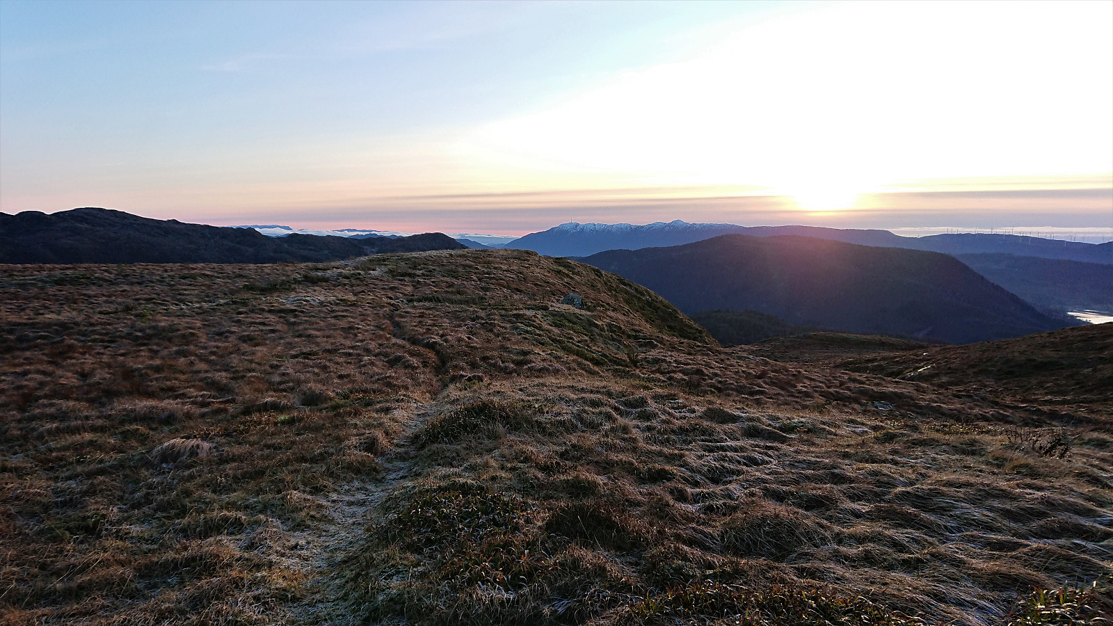 Stølafjellet
I started by taking the bus to Halhjem and the ferry to Våge. From Våge I followed the main road south to Reisa, taking a shortcut next to the school/football field to more quickly get to the main road in Uggdalsdalen, and then the shortest route up to the trailhead for Stølafjellet . The latter pretty much led me through someone's backyard. It is better to take the only slightly longer route to the west in order to avoid feeling like a trespasser.
The trailhead was unmarked, but the tractor road, and later trail, was marked with red paint. I followed the tractor road until it came to an end at a viewpoint with a bench, and from there followed the marked trail all the way to the cairn . The red markings pretty much disappeared towards the end, but by then the large cairn could be spotted anyway.
After >>>
Stølafjellet
I started by taking the bus to Halhjem and the ferry to Våge. From Våge I followed the main road south to Reisa, taking a shortcut next to the school/football field to more quickly get to the main road in Uggdalsdalen, and then the shortest route up to the trailhead for Stølafjellet . The latter pretty much led me through someone's backyard. It is better to take the only slightly longer route to the west in order to avoid feeling like a trespasser.
The trailhead was unmarked, but the tractor road, and later trail, was marked with red paint. I followed the tractor road until it came to an end at a viewpoint with a bench, and from there followed the marked trail all the way to the cairn . The red markings pretty much disappeared towards the end, but by then the large cairn could be spotted anyway.
After >>>
Hellemyrstien and Sandviksbatteriet
- Datum:
- 25.12.2019
- Tourcharakter:
- Wanderung
- Tourlänge:
- 1:43h
- Entfernung:
- 7,0km
 Local hike in between the Christmas family gatherings.
